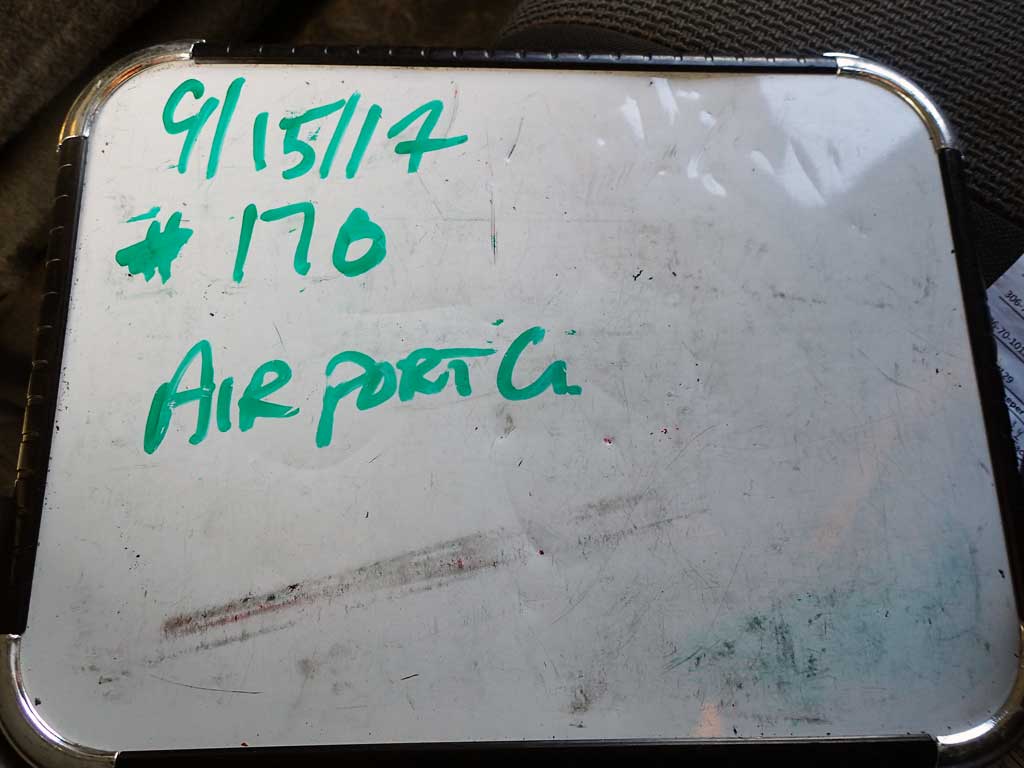
Fish Passage Site 30103648
Coordinates (dec. deg.): 51.87248°, -176.64777°
Legal Description: S096S195W11
Region: Southwest
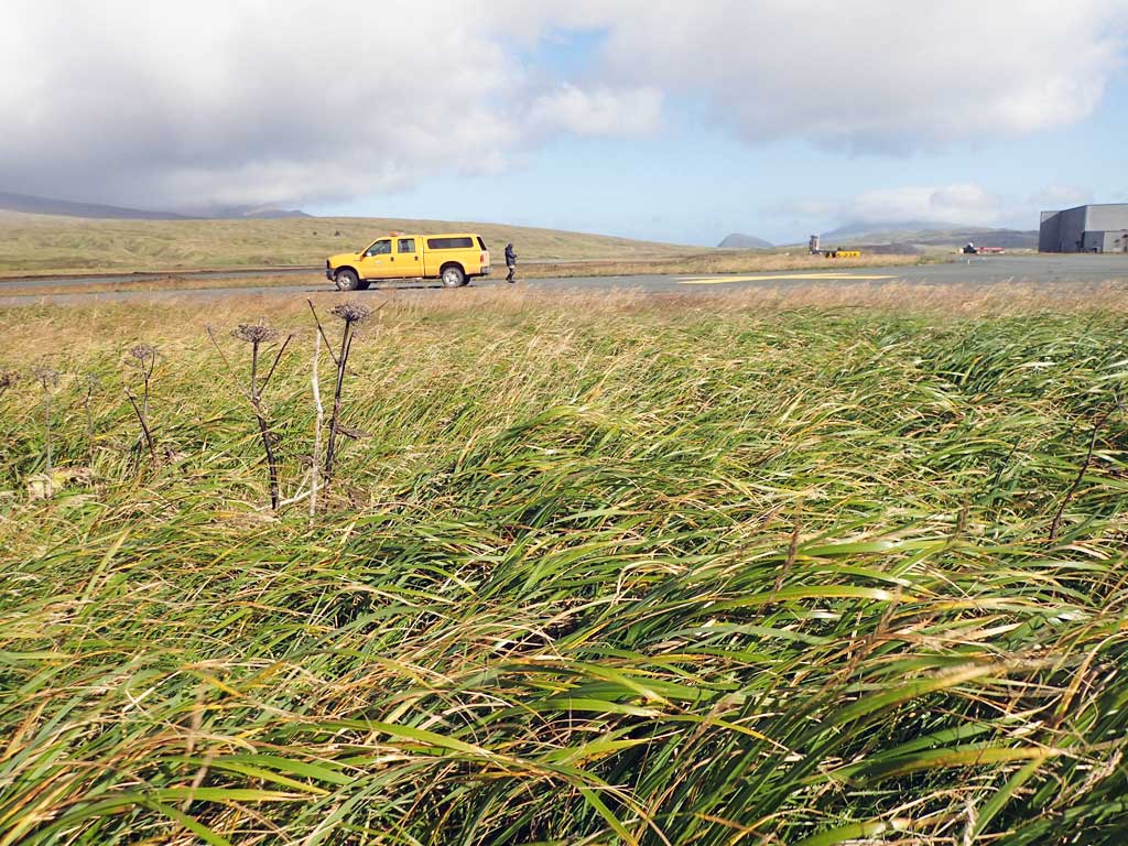
Road Name: Airport Taxiway
Datum: NAD83
Quad Name / ITM: Adak C-2
AWC Stream #:
Stream Name: Unnamed
Elevation:
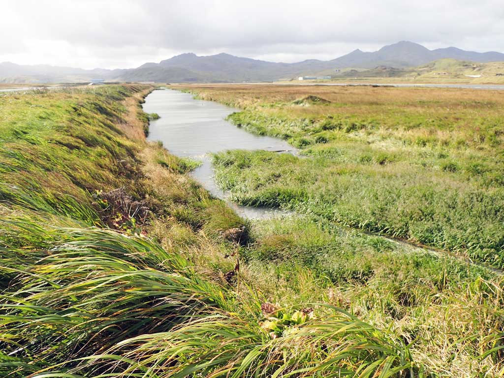
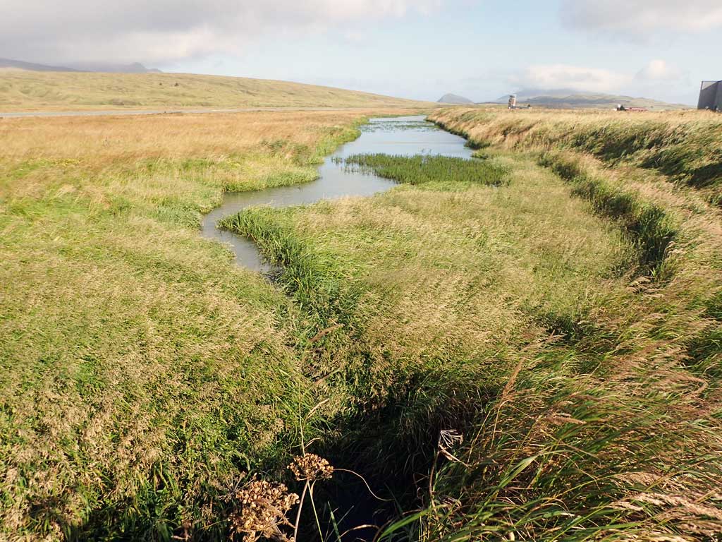
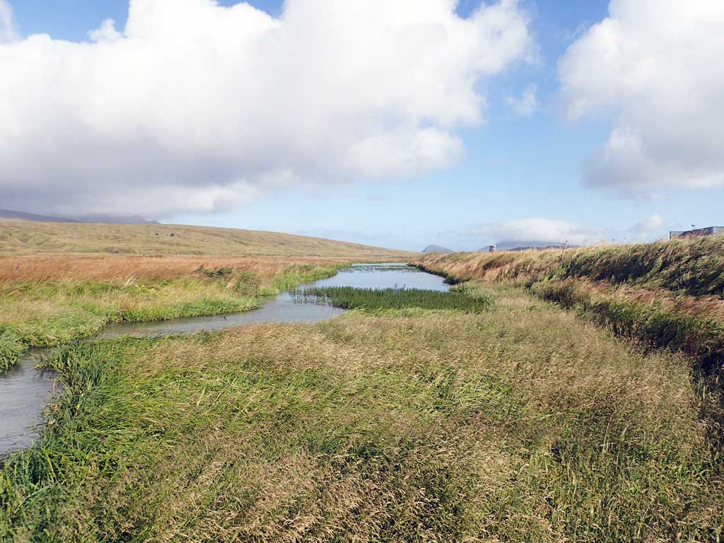
Site Comments: Creek is part of the airport drainage system.
Survey ADAK17-C170
Observers: Mark Eisenman, Jeanette Alas
Overall Fish Passage Rating:
Tidal: No
Backwatered: No
Step Pools: No
Construction Year:
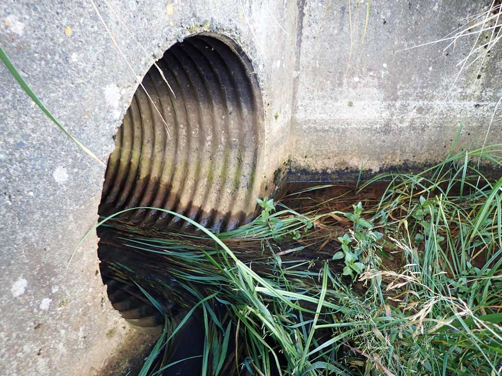
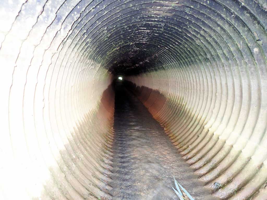
Comments: This information was gathered as part of the joint reconnaissance level project between the ADF&G Habitat Division and the Fish Passage Assessment Project on Adak Island. Due to time constraints full site assessments were not conducted, but base line information was collected. Site electroshocked. Threespine sticklebacks caught. One larger fish was observed, but not identified, most likely a Dolly Varden. Lots of sedimention and vegitation growth upstream and downstream from crossing.
Culvert Measurements
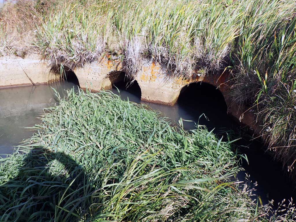
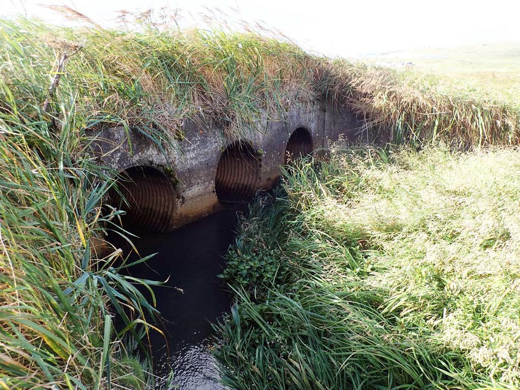
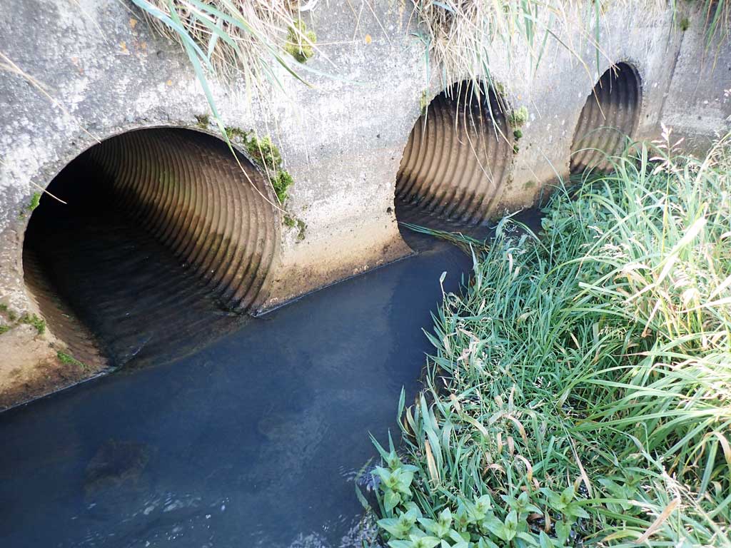
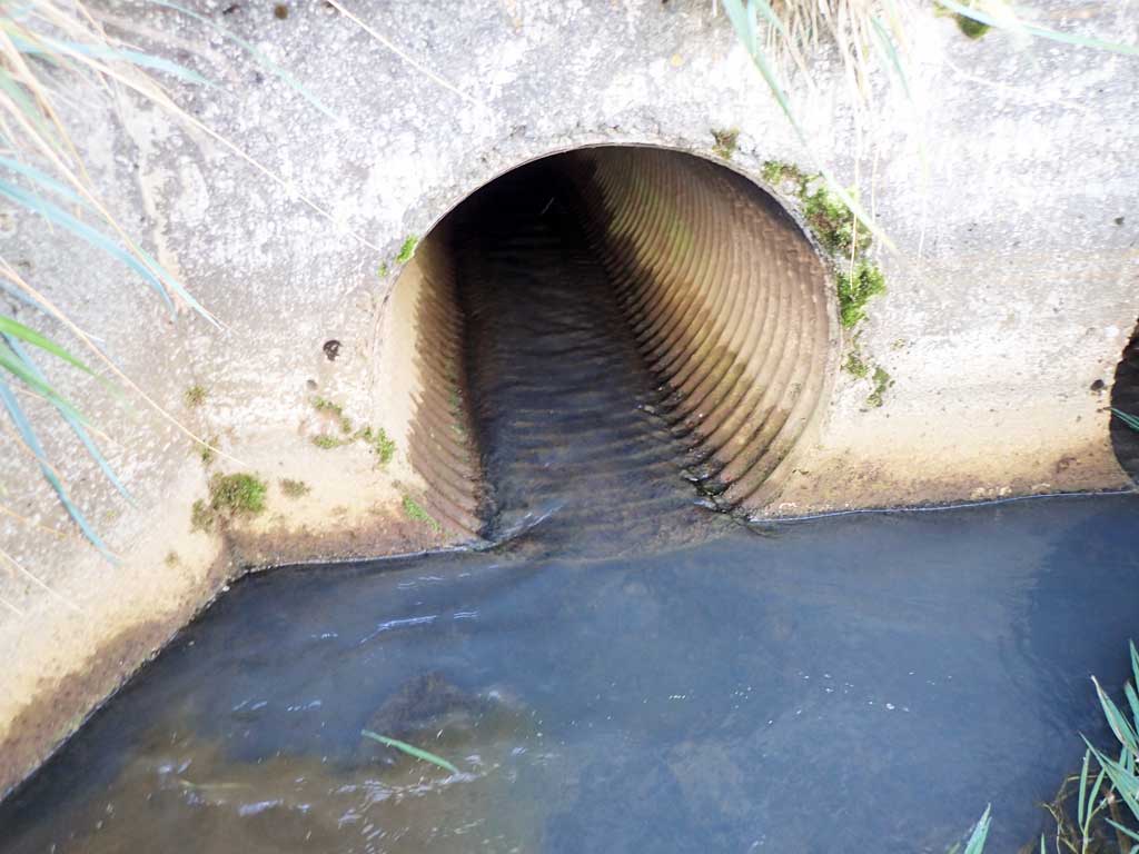
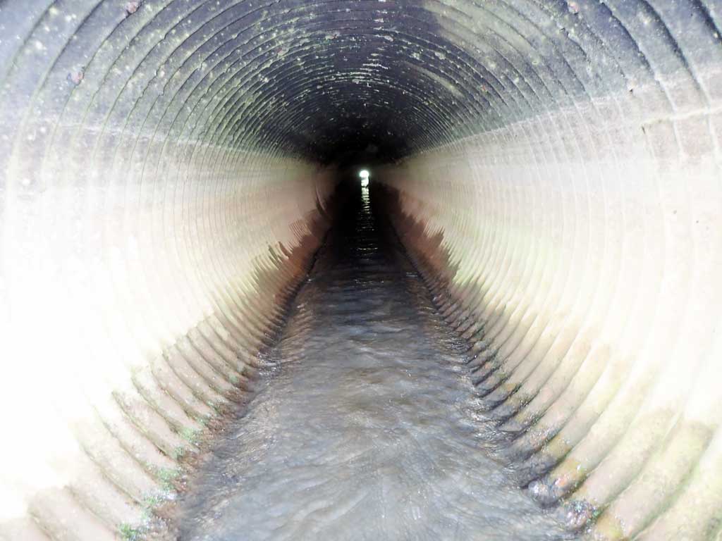
| ID: 1 | Structure Type: Circular pipe (Corrugated steel) | Fish Passage Rating: | |||||||||||||||||||||||||||||||||||||||||
|
|
|
|||||||||||||||||||||||||||||||||||||||||
Comments: Culvert diameter estimated to be about 2-3 feet. |
|||||||||||||||||||||||||||||||||||||||||||
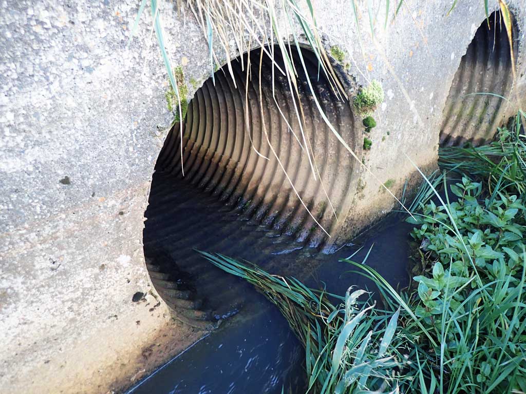
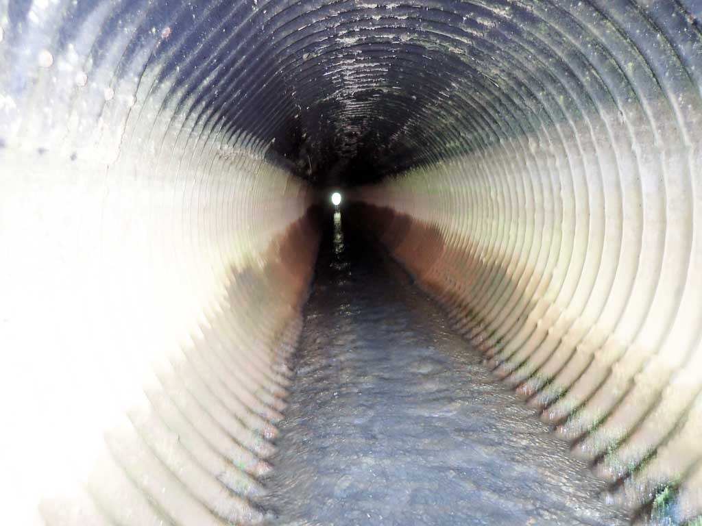
| ID: 2 | Structure Type: Circular pipe (Corrugated steel) | Fish Passage Rating: | |||||||||||||||||||||||||||||||||||||||||
|
|
|
|||||||||||||||||||||||||||||||||||||||||
Comments: Culvert diameter estimated to be about 2-3 feet. |
|||||||||||||||||||||||||||||||||||||||||||
| ID: 3 | Structure Type: Circular pipe (Corrugated steel) | Fish Passage Rating: | |||||||||||||||||||||||||||||||||||||||||
|
|
|
|||||||||||||||||||||||||||||||||||||||||
Comments: Culvert diameter estimated to be about 2 feet. |
|||||||||||||||||||||||||||||||||||||||||||
Stream Measurements
|
|
No stream width data available.
Elevations
No elevation data available.
Fish Sampling Efforts
| Gear Type: Smith-Root LR-24 (A) | ||
| Gear Type: Visual Observation, Ground (B) | ||
Fish Observations
| Species: threespine stickleback | Life History: Unknown | ||
| Total Fish Observed: 5 | Fish Measured: | Fork Lengths (mm) Min: Max: Mean: | |
| Collected/Observed by Gear Type: Upstream Smith-Root LR-24 (5) | |||
Photos

Questions or comments about this report can be directed to dfg.dsf.webmaster@alaska.gov