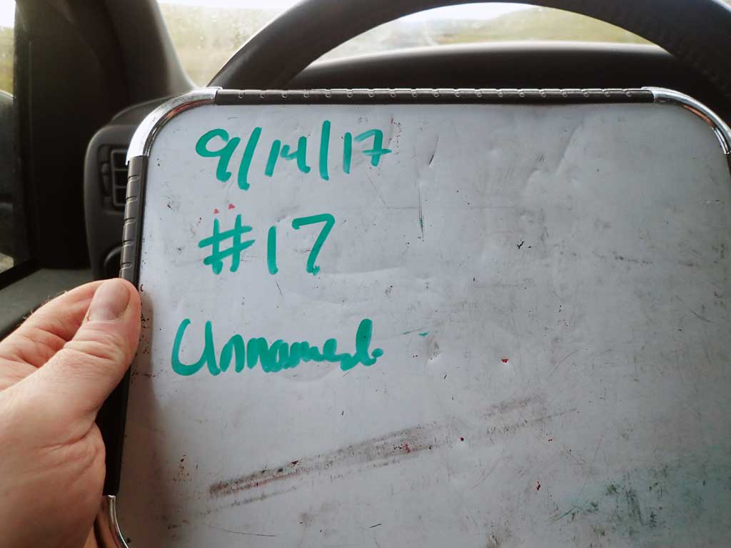
Fish Passage Site 30103647
Coordinates (dec. deg.): 51.91035°, -176.59641°
Legal Description: S095S194W31
Region: Southwest
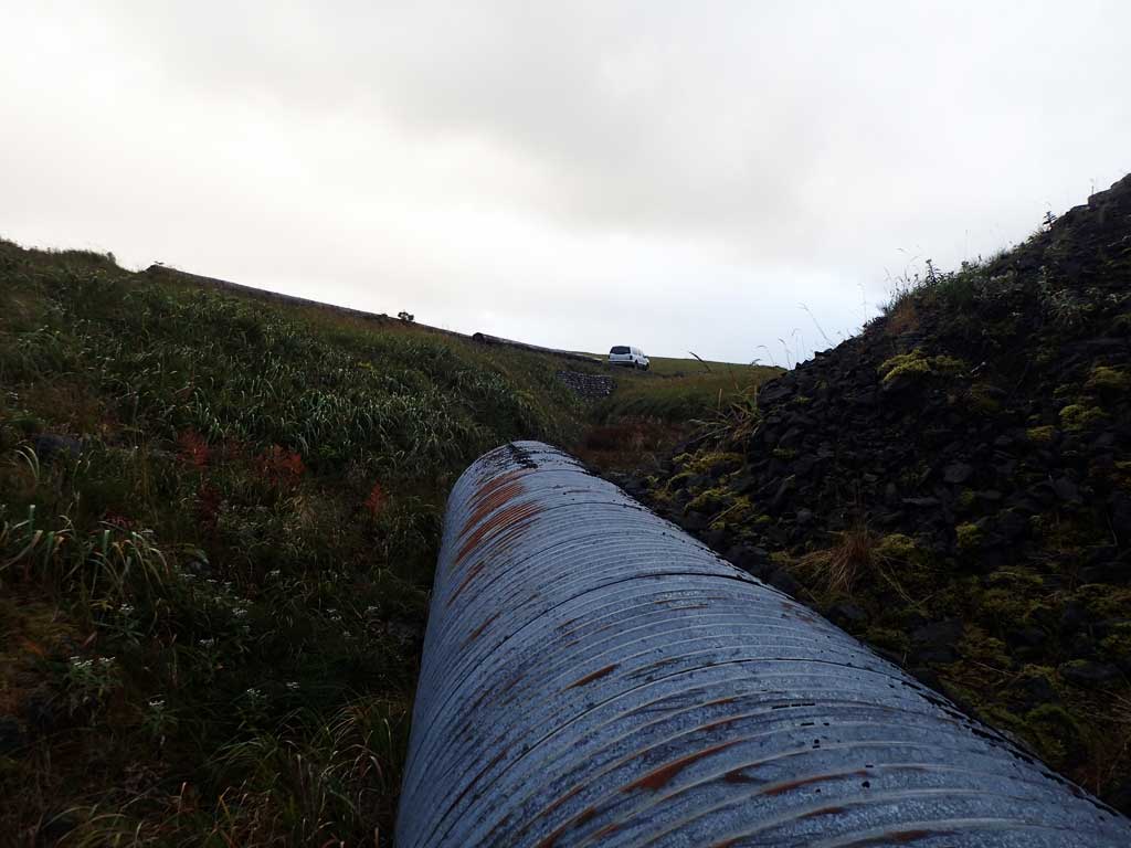
Road Name: Abandoned Road
Datum: NAD83
Quad Name / ITM: Adak C-2
AWC Stream #:
Stream Name: Unnamed
Elevation:
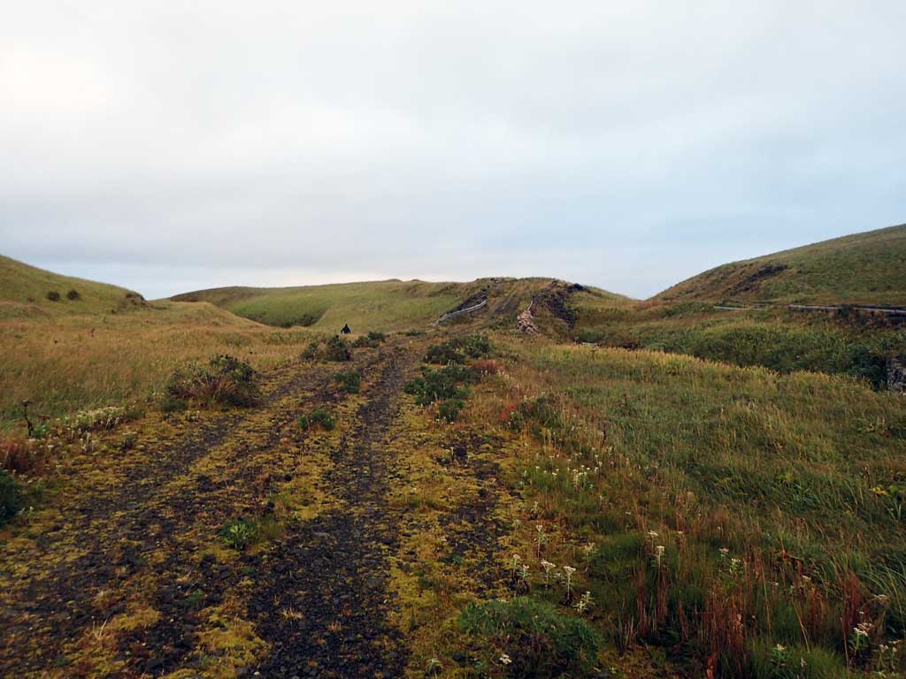
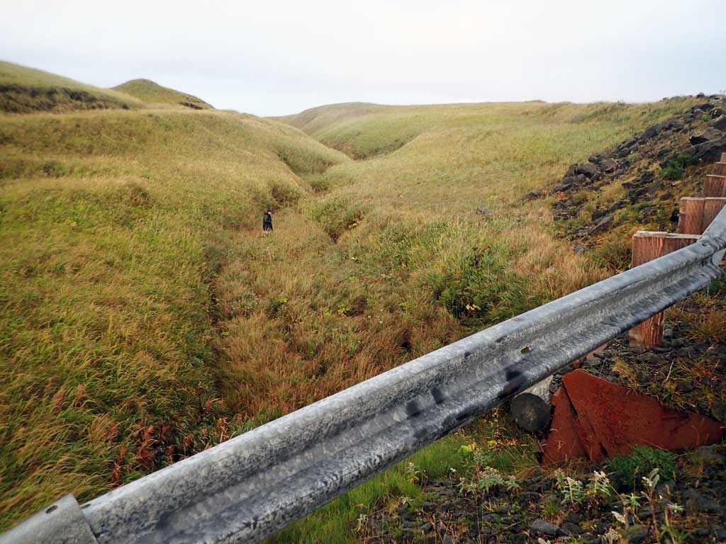
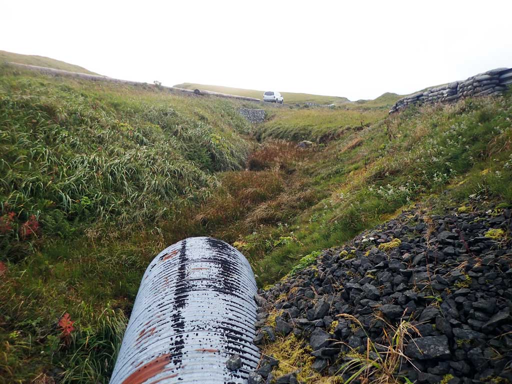
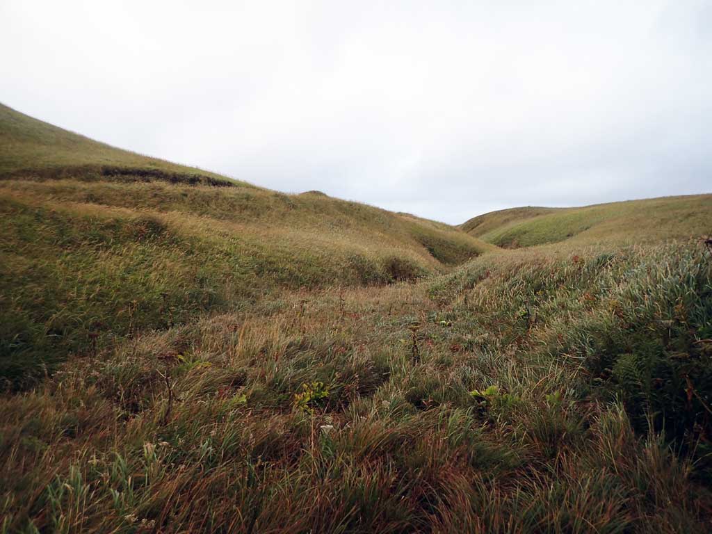
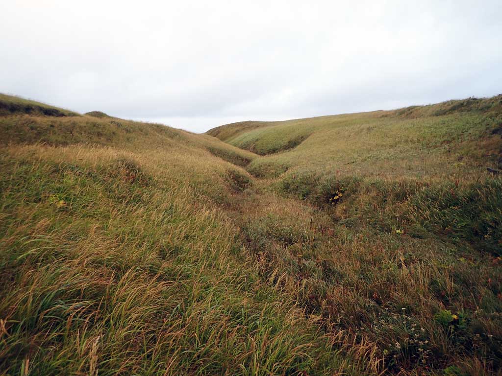
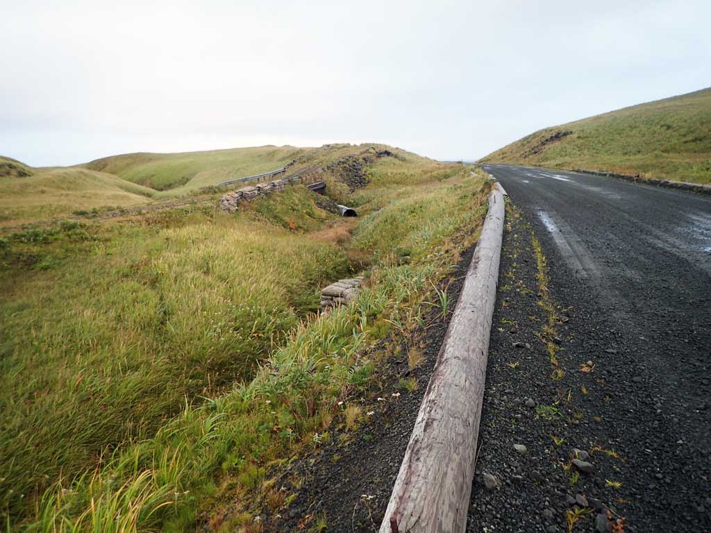
Site Comments: Downstream from C18 and C19. Site is on an old road that parallels the main road.
Survey ADAK17-C17
Observers: Mark Eisenman, Jeanette Alas
Overall Fish Passage Rating:
Tidal: No
Backwatered: Maybe
Step Pools: No
Construction Year:
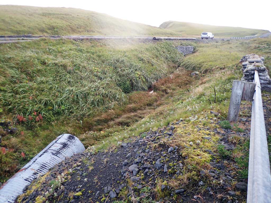
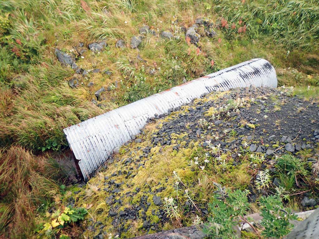
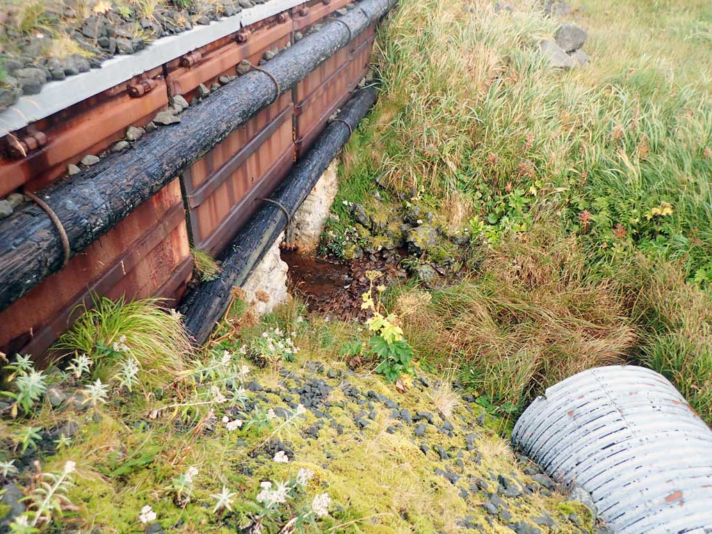
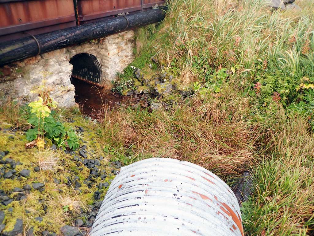
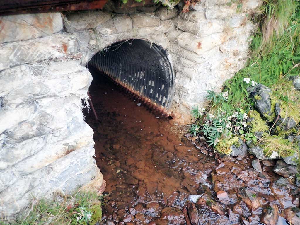
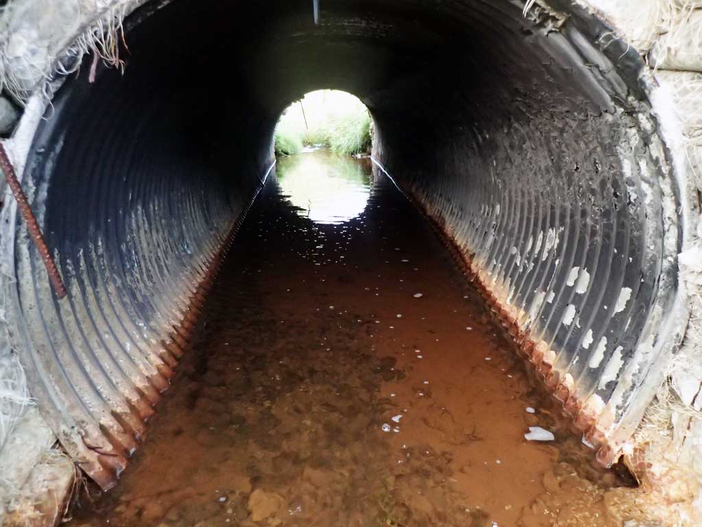
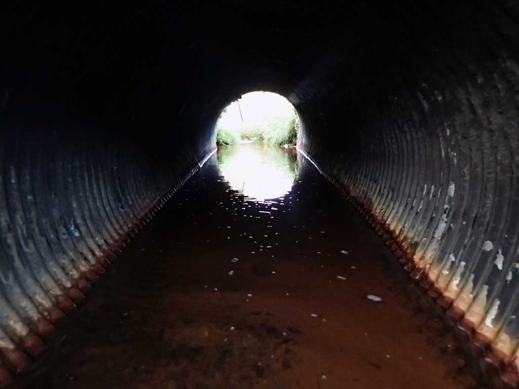
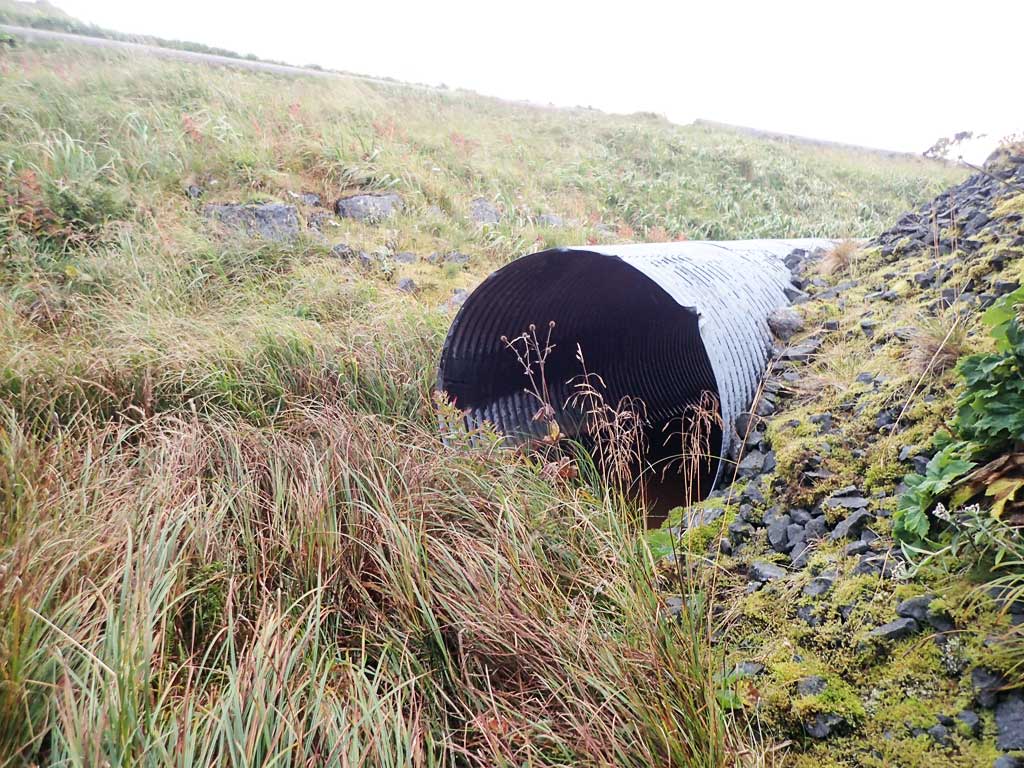
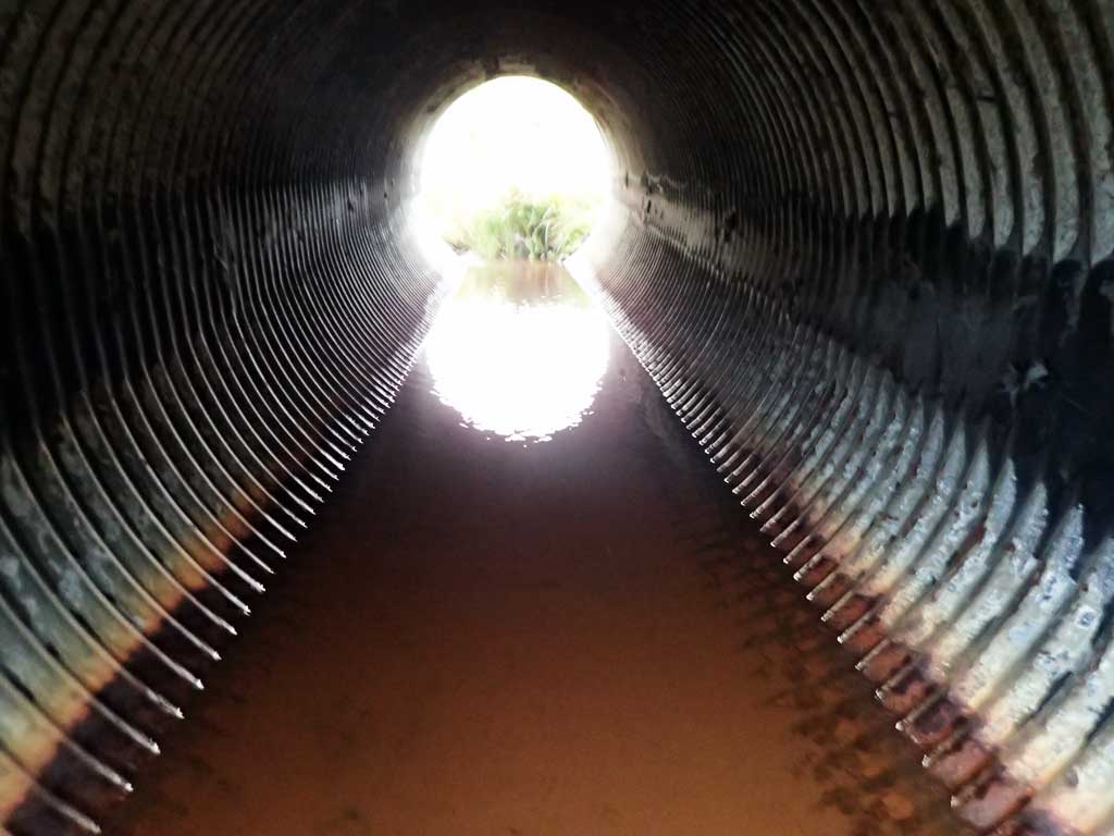
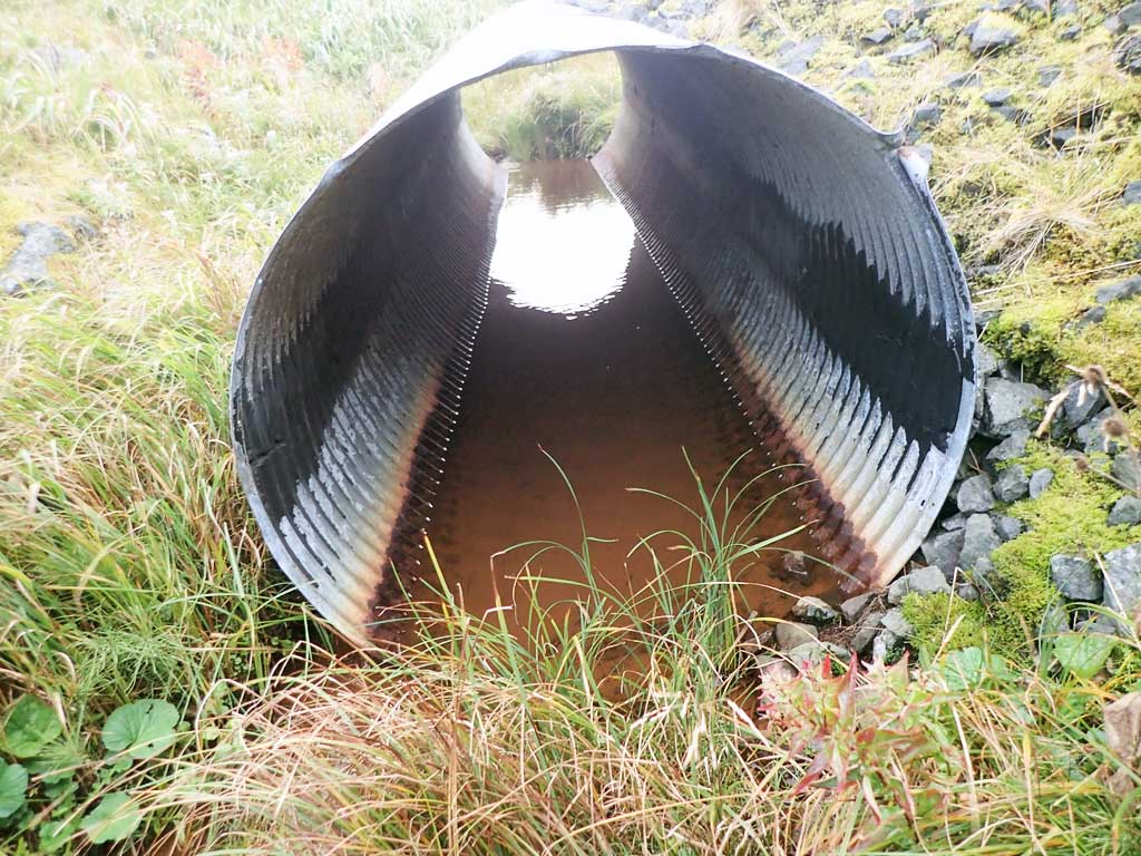
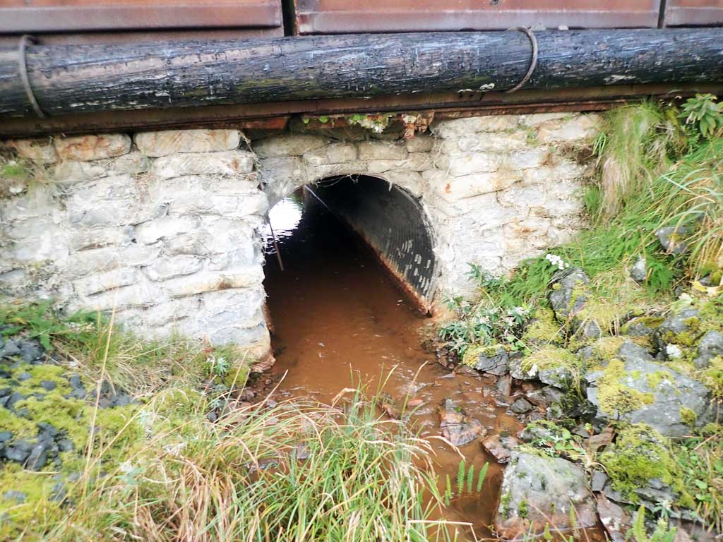
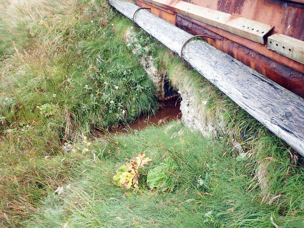
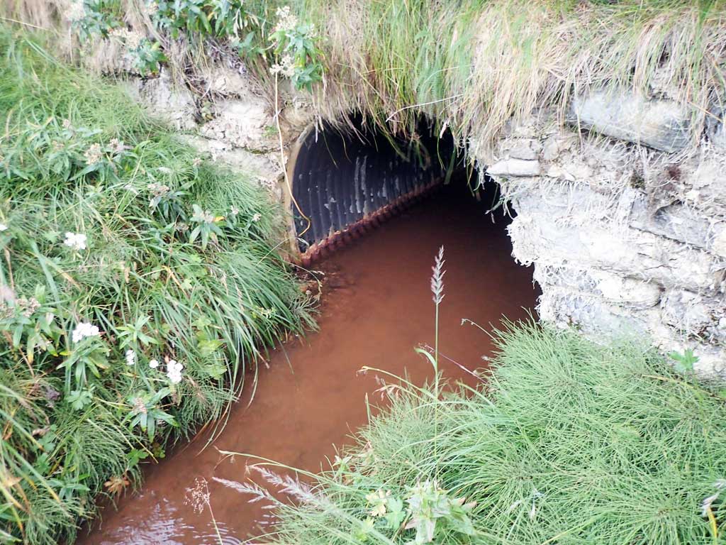
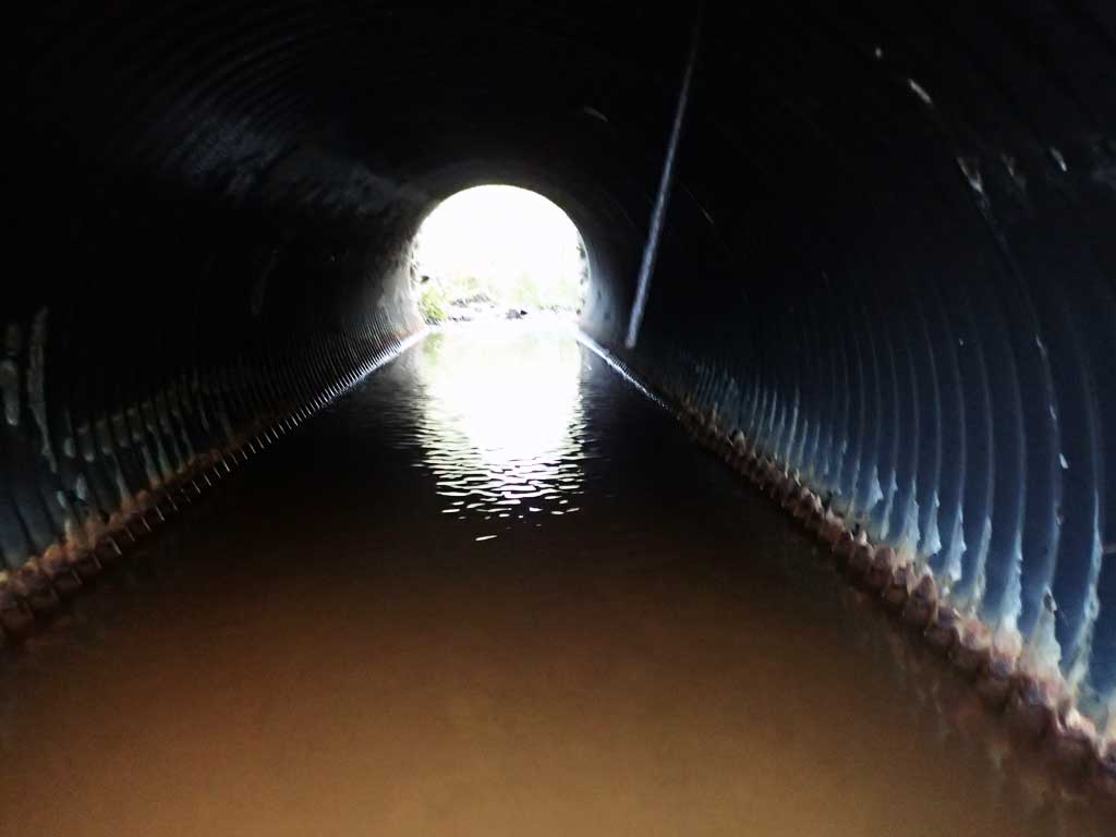
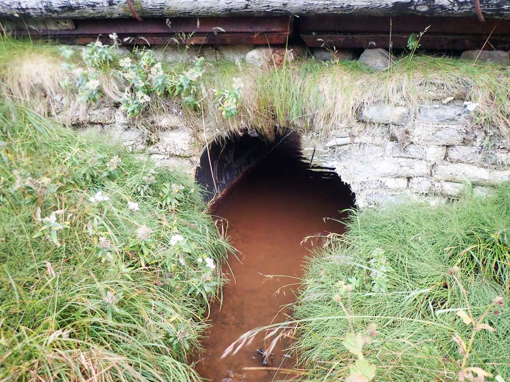
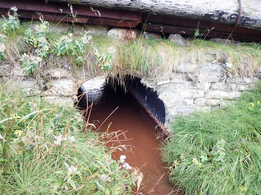
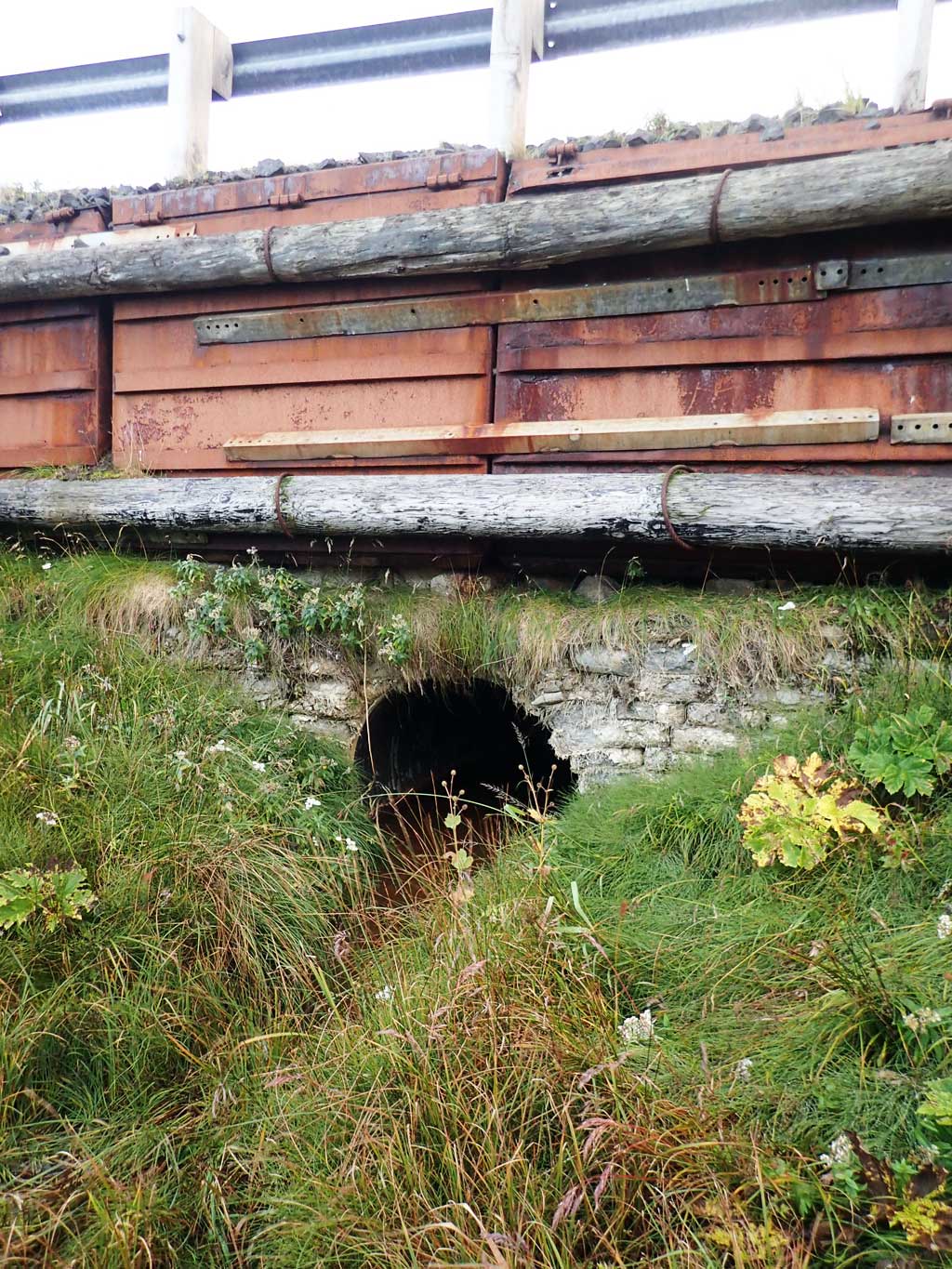
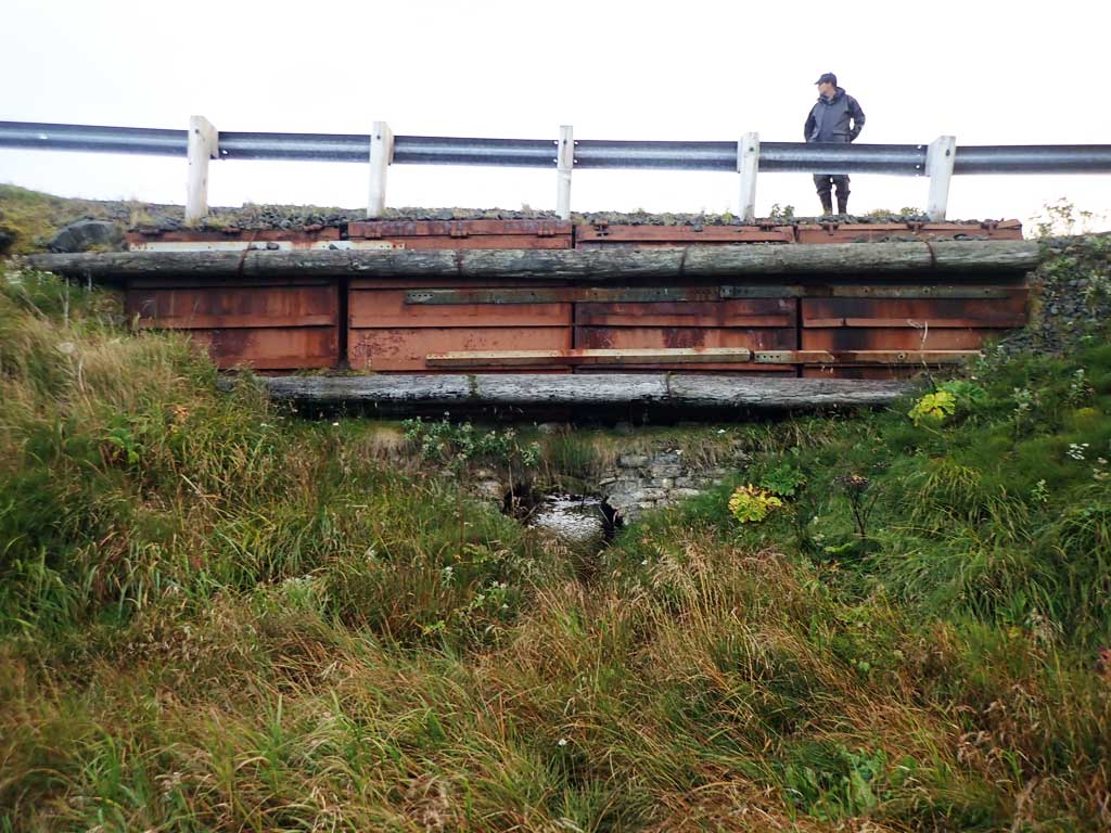
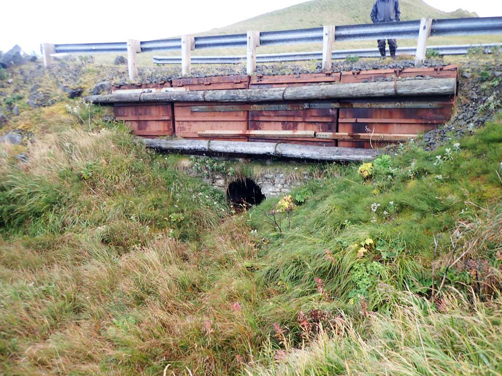
Comments: This information was gathered as part of the joint reconnaissance level project between the ADF&G Habitat Division and the Fish Passage Assessment Project on Adak Island. Due to time constraints full site assessments were not conducted, but base line information was collected. Unidentified fish observed at outlet, likely Dolly Varden char. There is another culvert sitting in the middle of the creek about 10 feet upstream from culver inlet. Looks like it might have been placed there to allow the road prism for this old road to be expanded. It is a 4' circular CSP as well and is not perched. Creek flows down into Clam Lagoon and passes through culvert C8. Downstream portion of this creek will be nominated to AWC. Water surface looks flat through culvert, maybe backwatered, does not appear to be constricted, same with upstream culvert. Neither appear to be a barrier, but road is unused and there is no need for these culverts.
Culvert Measurements
| ID: 1 | Structure Type: Circular pipe (Corrugated steel) | Fish Passage Rating: | |||||||||||||||||||||||||||||||||||||||||
|
|
|
|||||||||||||||||||||||||||||||||||||||||
Comments: Concrete pillow headwalls, with an iron and log containment wall holding the road prism together above culvert. |
|||||||||||||||||||||||||||||||||||||||||||
Stream Measurements
|
|
No stream width data available.
Elevations
No elevation data available.
Fish Sampling Efforts
| Gear Type: Minnow Trap (A) | Trap Duration(h): 26.0 | |
| Comments: MT2, no fish caugth in trap. | ||
| Gear Type: Visual Observation, Ground (B) | ||
Fish Observations
| Species: general fish observation, no species information | Life History: | ||
| Total Fish Observed: 1 | Fish Measured: | Fork Lengths (mm) Min: Max: Mean: | |
| Collected/Observed by Gear Type: Downstream Visual Observation, Ground (1) | |||
| Comments: Unidentified fish observed near outlet. Likely a Dolly Varden Char | |||
Photos
Questions or comments about this report can be directed to dfg.dsf.webmaster@alaska.gov