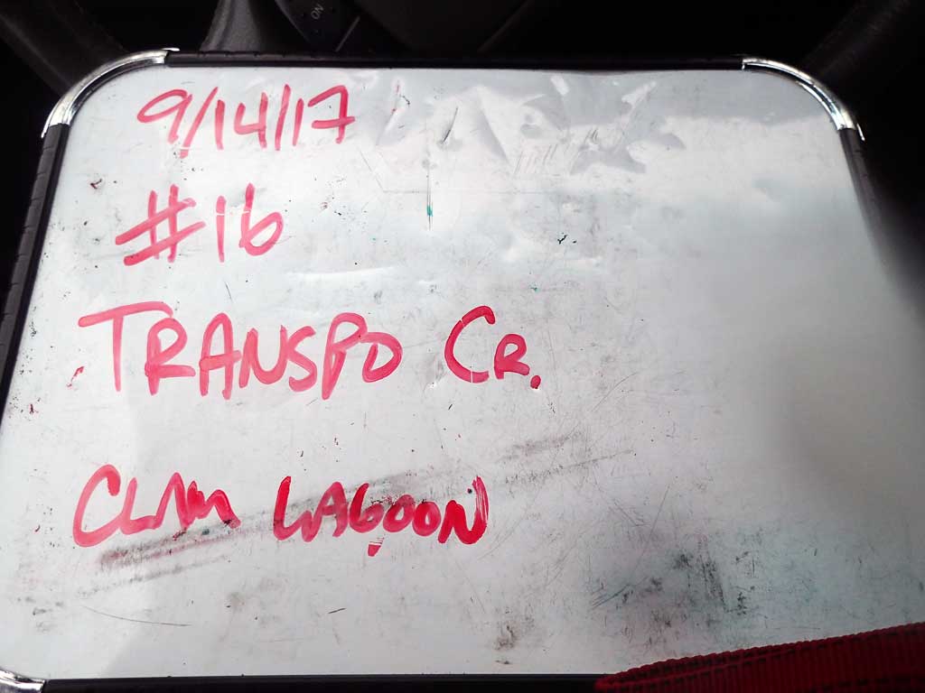
Fish Passage Site 30103641
Coordinates (dec. deg.): 51.94980°, -176.58214°
Legal Description: S095S194W17
Region: Southwest
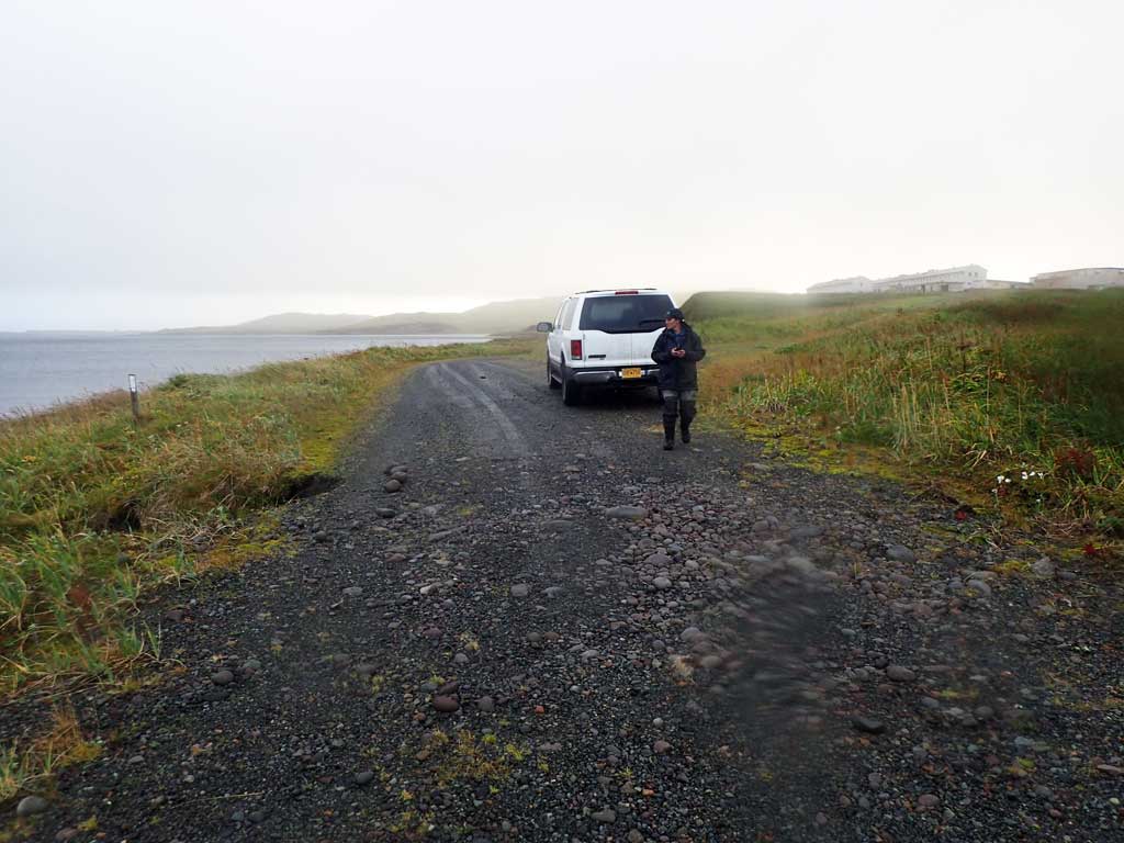
Road Name: Clam Lagoon Road
Datum: NAD83
Quad Name / ITM: Adak C-2
AWC Stream #: 306-70-10110
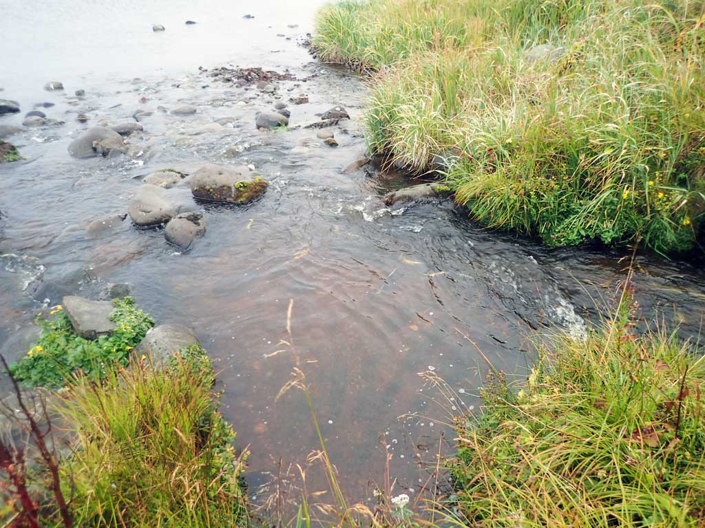
Stream Name: Transpo Creek
Elevation:
Site Comments: None
Survey ADAK17-C16
Observers: Mark Eisenman, Jeanette Alas
Overall Fish Passage Rating:
Tidal: Yes
Backwatered: No
Step Pools: No
Construction Year:
Site Observations:
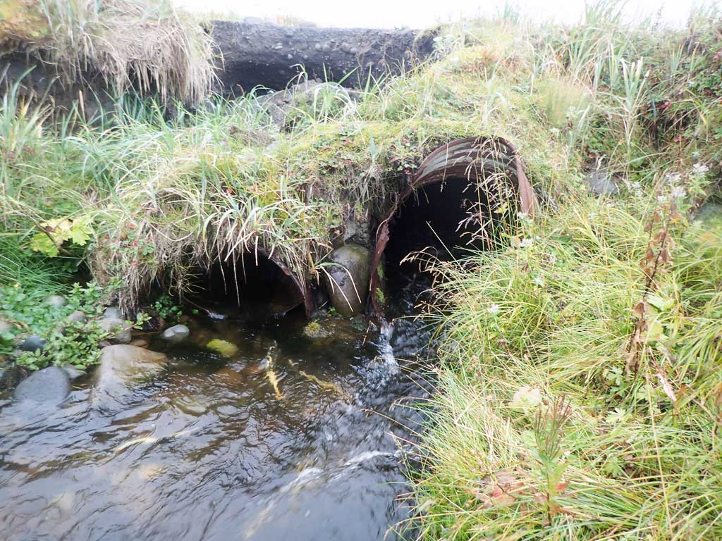
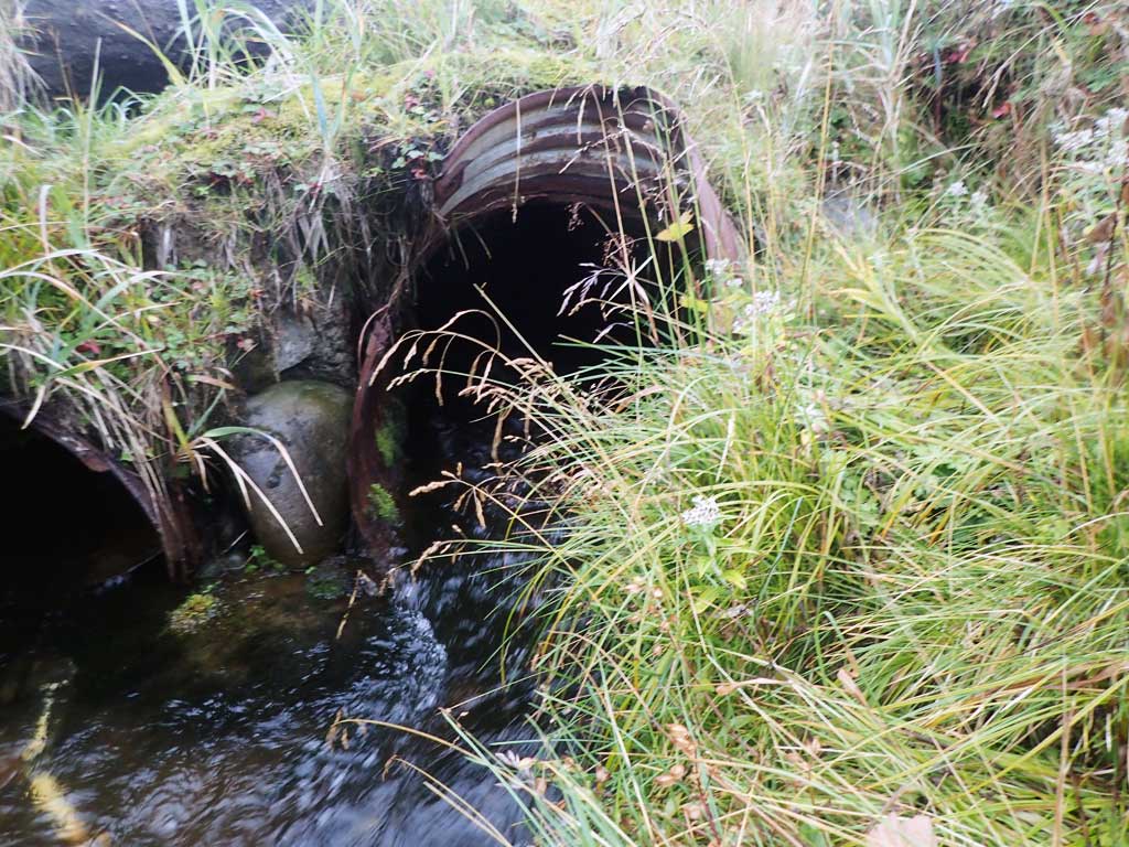
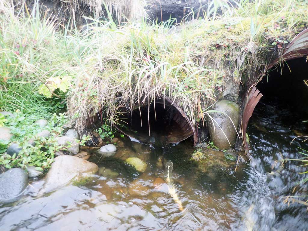
- Structural Problem
- Mechanical damage or joints parting
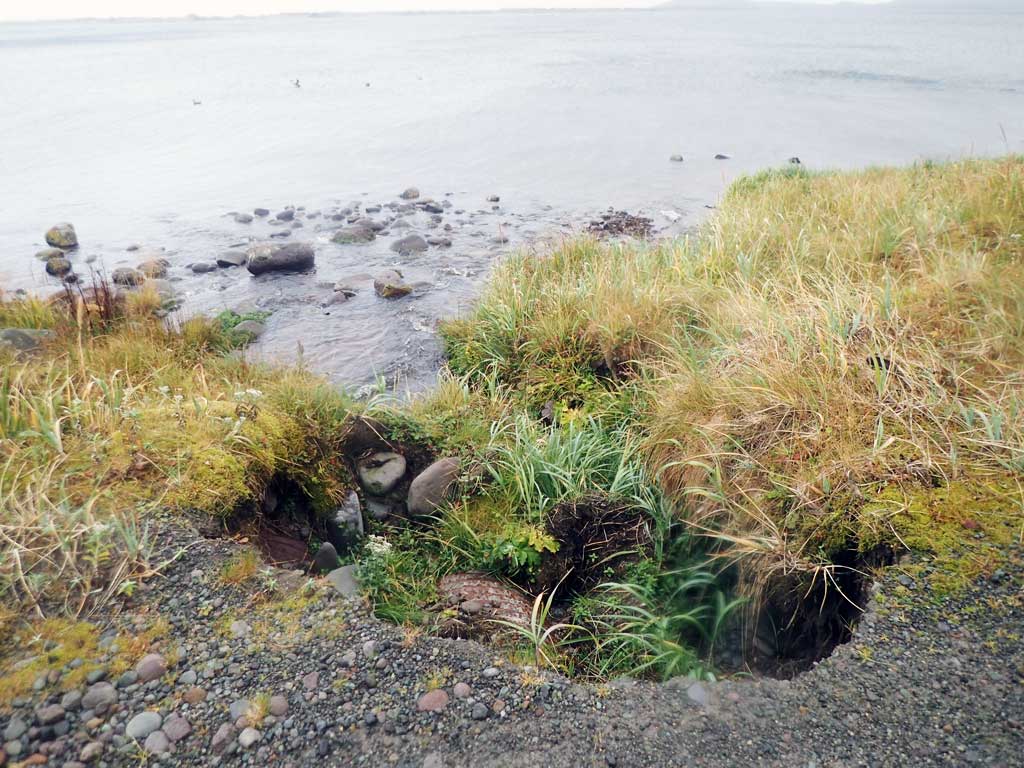
- Road bank erosion
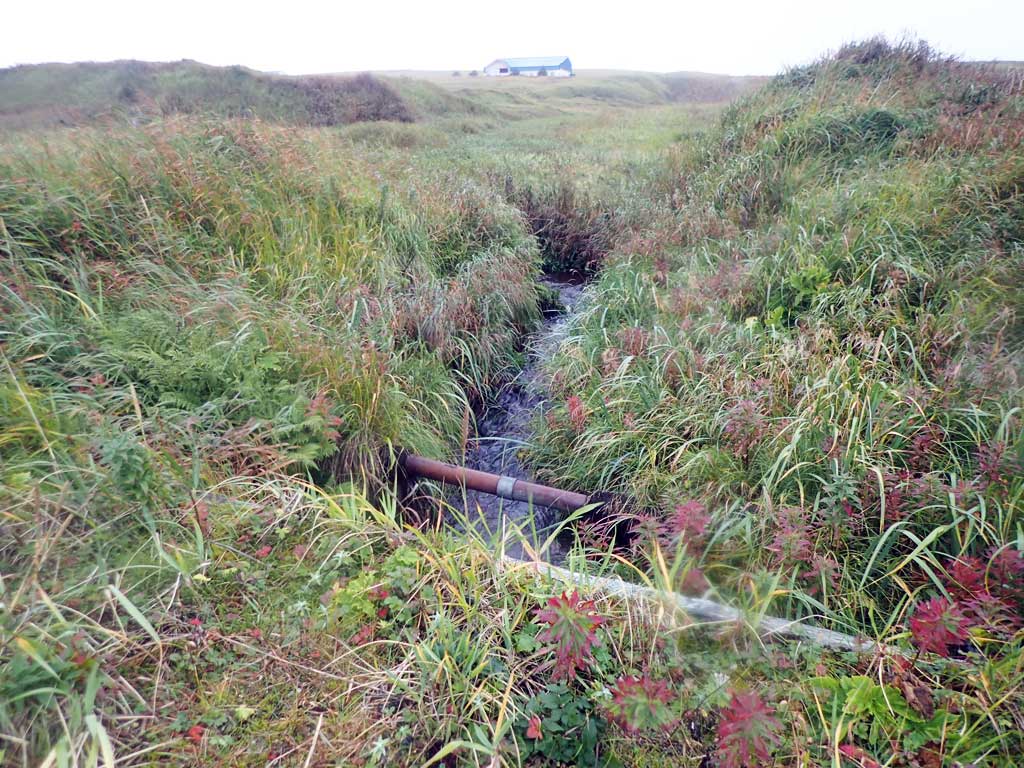
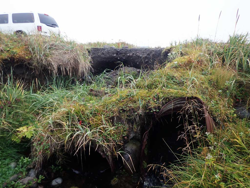
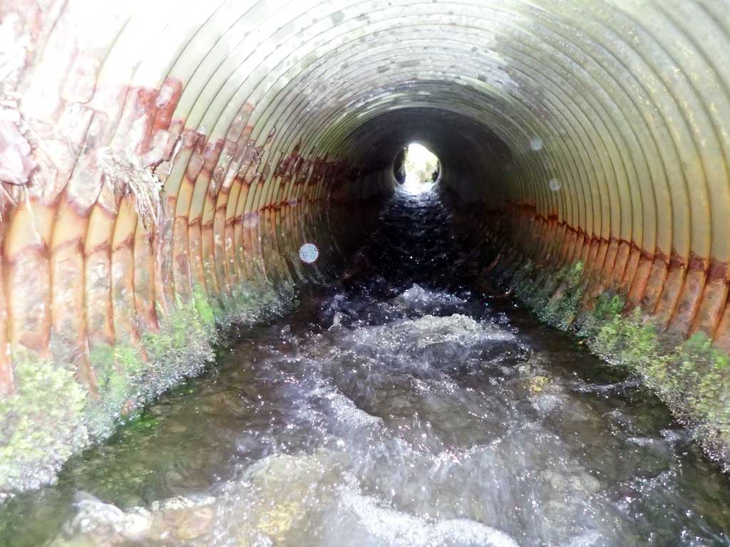
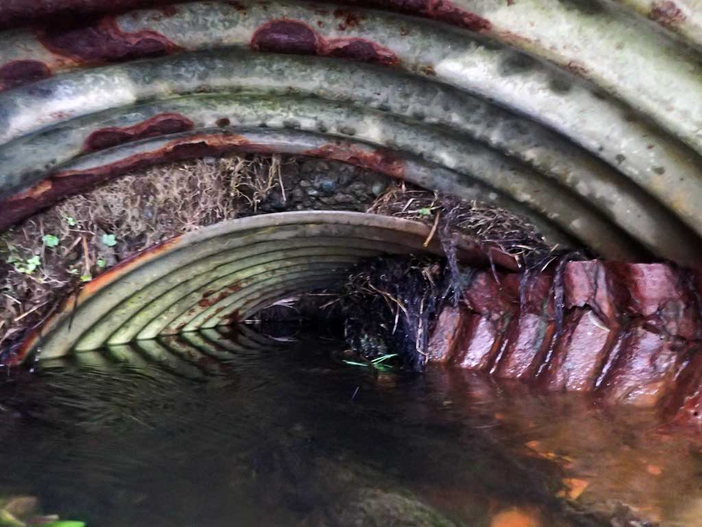
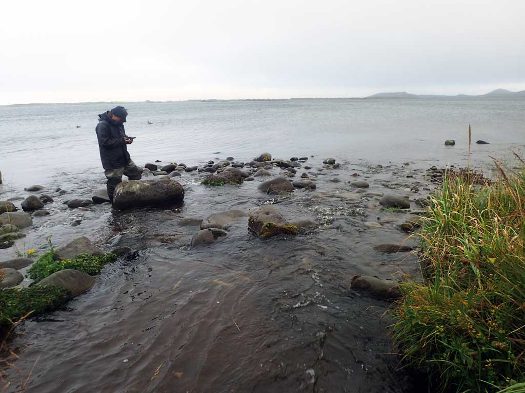
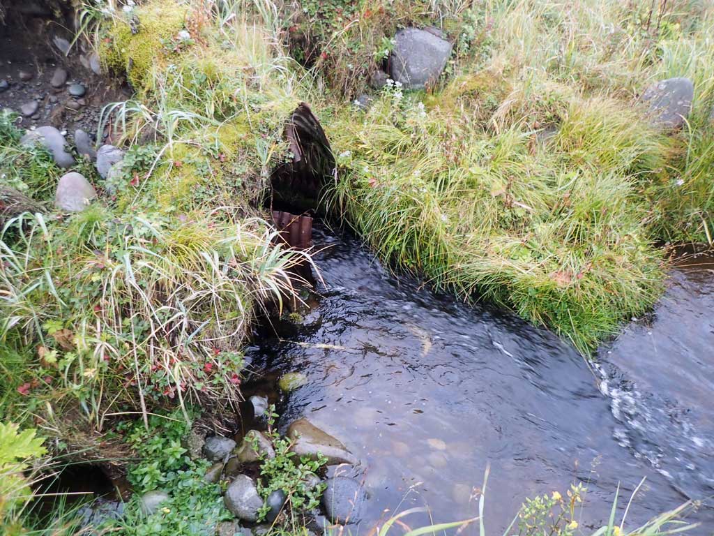
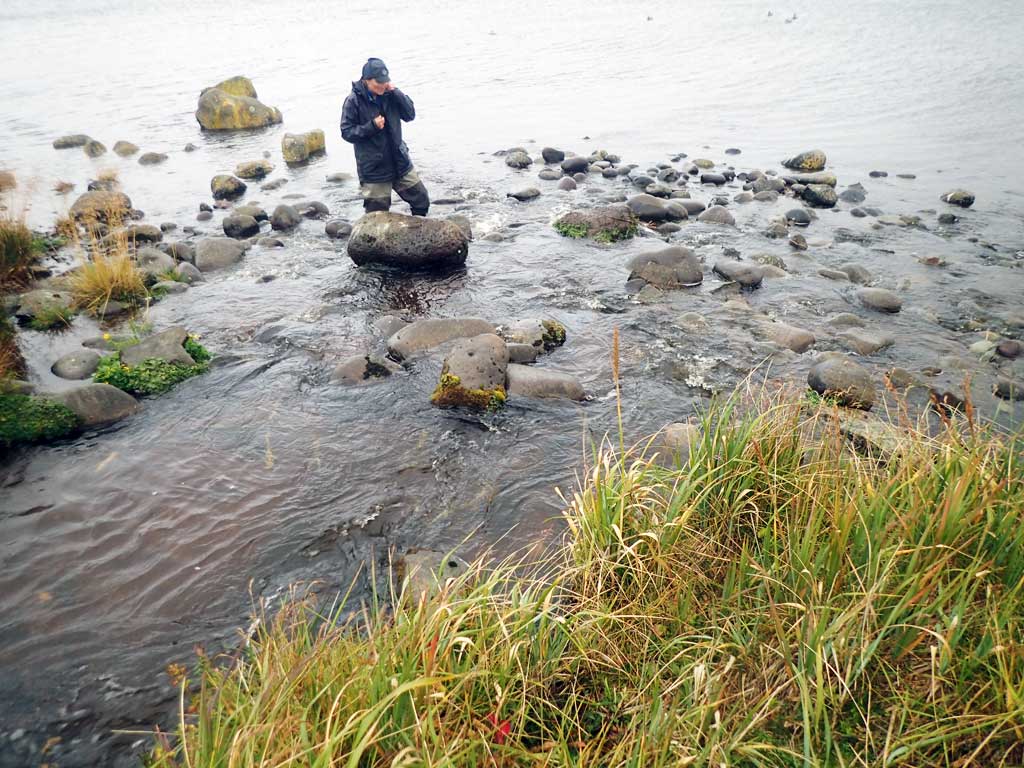
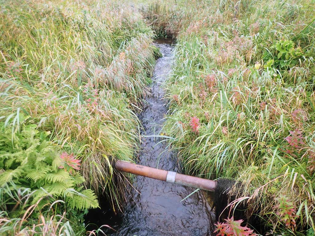
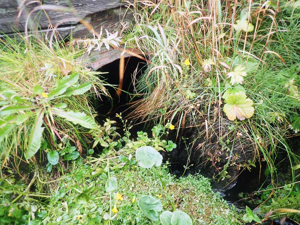
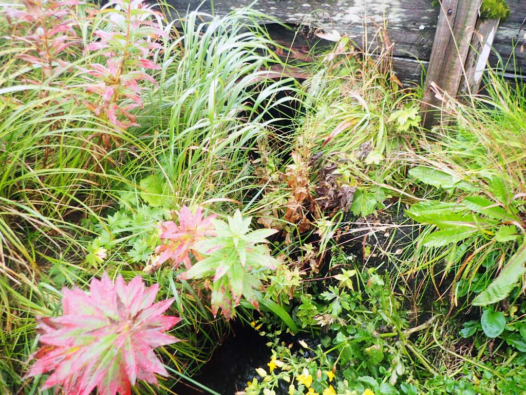
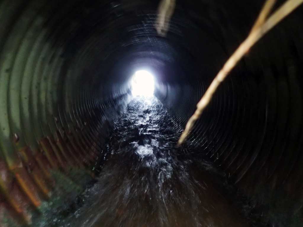
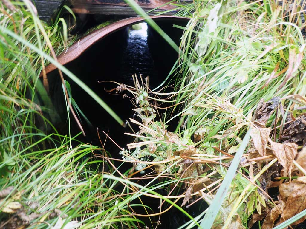
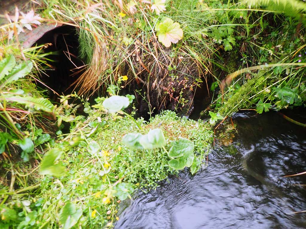
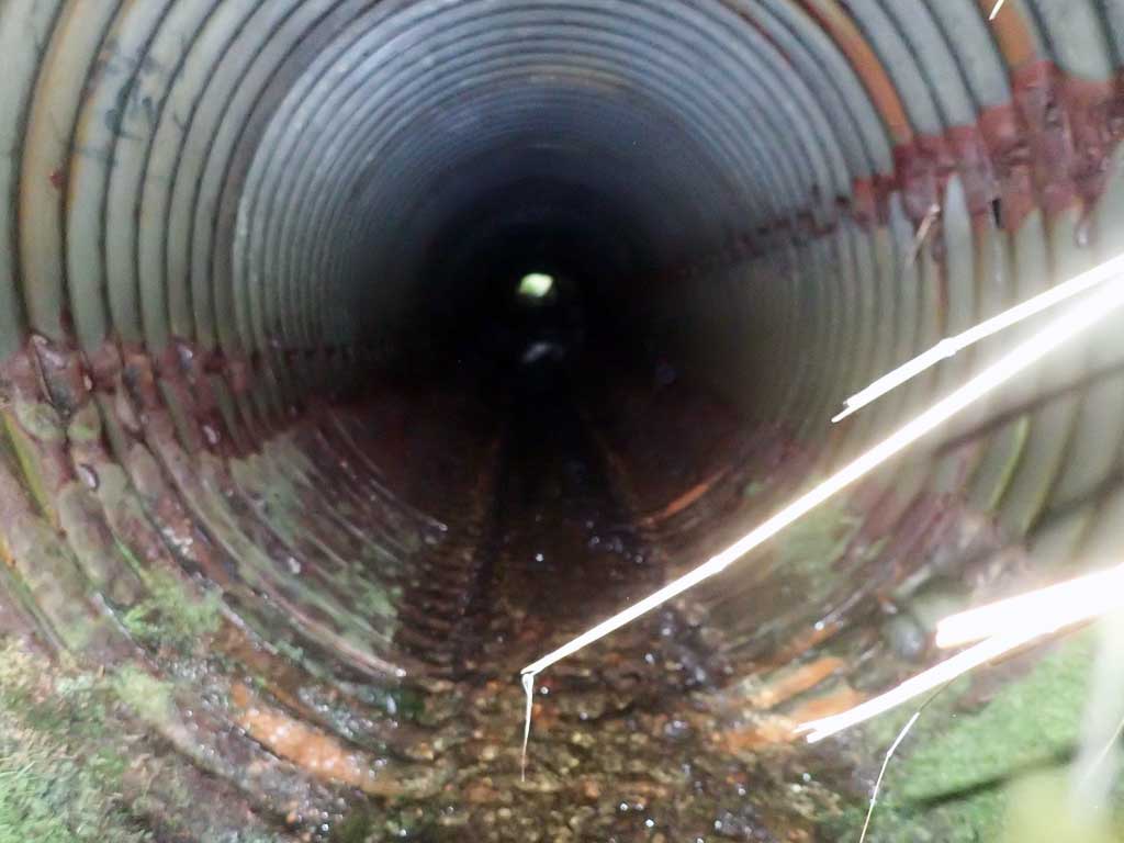
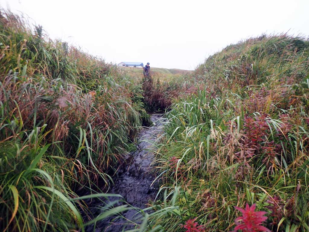
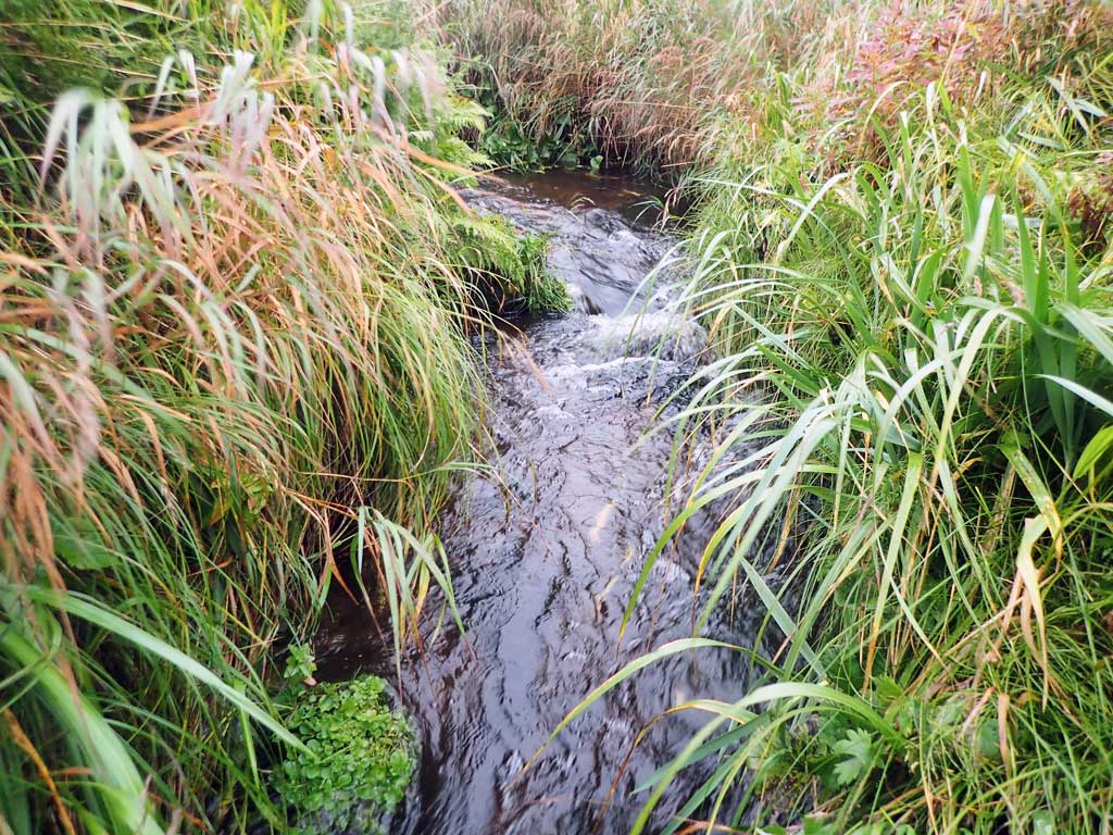
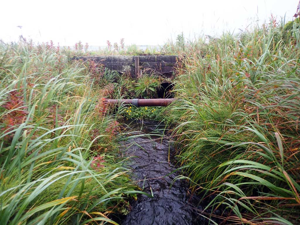
Comments: This information was gathered as part of the joint reconnaissance level project between the ADF&G Habitat Division and the Fish Passage Assessment Project on Adak Island. Due to time constraints full site assessments were not conducted, but base line information was collected. Culverts deteriorated and falling apart. Adult pinks observed upstream and downstream of culvert. C2 appears to be collapsed and C1 appears to be over 1% gradient. Creek empties into Clam Lagoon directly downstream of outlet. Road erosion at outlet.
Culvert Measurements
| ID: 1 | Structure Type: Circular pipe (Corrugated steel) | Fish Passage Rating: | |||||||||||||||||||||||||||||||||||||||||
|
|
|
|||||||||||||||||||||||||||||||||||||||||
Comments: Gradient appears to be over 1%. Road bank erosion at outlet. |
|||||||||||||||||||||||||||||||||||||||||||
Culvert Observations:
|
|||||||||||||||||||||||||||||||||||||||||||
| ID: 2 | Structure Type: Circular pipe (Corrugated steel) | Fish Passage Rating: | |||||||||||||||||||||||||||||||||||||||||
|
|
|
|||||||||||||||||||||||||||||||||||||||||
Comments: Could not see through culvert, culvert may be collasped near outlet. |
|||||||||||||||||||||||||||||||||||||||||||
Culvert Observations:
|
|||||||||||||||||||||||||||||||||||||||||||
Stream Measurements
|
|
No stream width data available.
Elevations
No elevation data available.
Fish Sampling Efforts
| Gear Type: Visual Observation, Ground (A) | ||
| Gear Type: Visual Observation, Ground (B) | ||
| Gear Type: Minnow Trap (C) | Trap Duration(h): 24.0 | |
| Comments: Trap set upstream above upstream culvert crossing C4 | ||
Fish Observations
| Species: adult spawning pink salmon | Life History: Anadromous | ||
| Total Fish Observed: 35 | Fish Measured: | Fork Lengths (mm) Min: Max: Mean: | |
| Collected/Observed by Gear Type: Downstream Visual Observation, Ground (15) Upstream Visual Observation, Ground (20) | |||
| Species: juvenile/adult Dolly Varden | Life History: Unknown | ||
| Total Fish Observed: 3 | Fish Measured: 3 | Fork Lengths (mm) Min: 95 Max: 140 Mean: 112 | |
| Collected/Observed by Gear Type: Upstream Minnow Trap (3) | |||
Photos
Questions or comments about this report can be directed to dfg.dsf.webmaster@alaska.gov