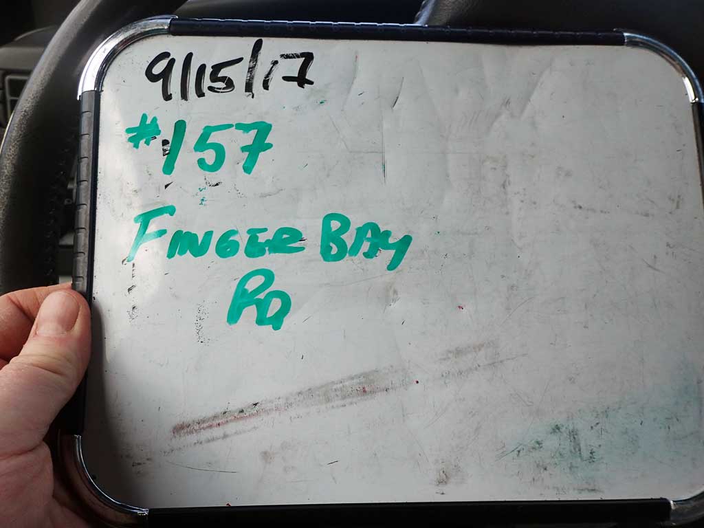
Fish Passage Site 30103638
Coordinates (dec. deg.): 51.83482°, -176.62523°
Legal Description: S096S195W25
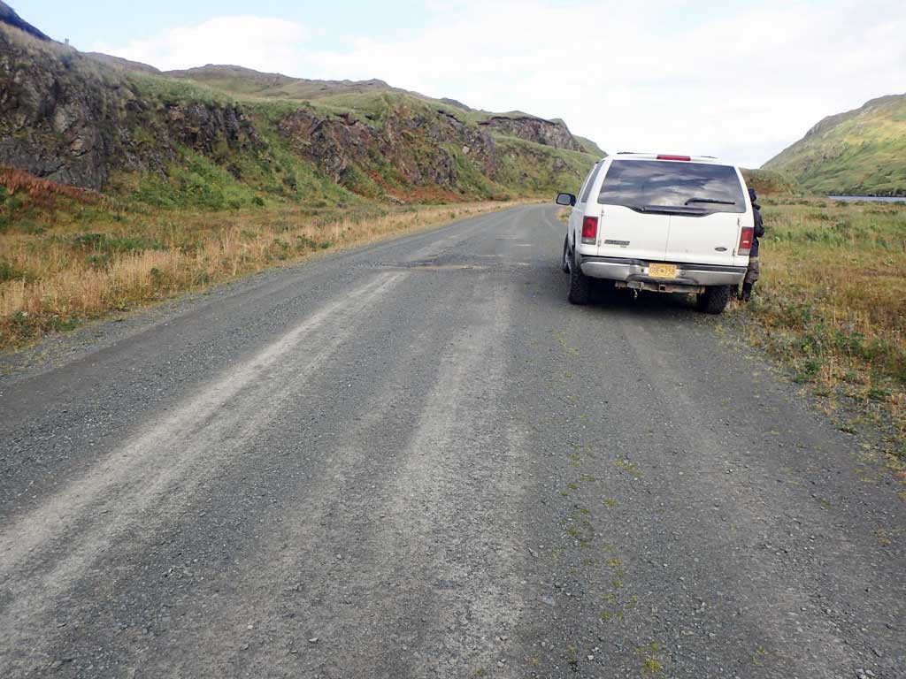
Region: Southwest
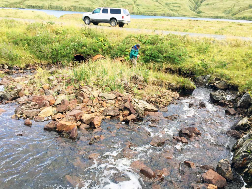
Road Name: Finger Bay Road
Datum: NAD83
Quad Name / ITM: Adak C-2
AWC Stream #:
Stream Name: Unnamed
Elevation:
Site Comments: None
Survey ADAK17-C157
Observers: Mark Eisenman, Jeanette Alas
Overall Fish Passage Rating:
Tidal: Maybe
Backwatered: No
Step Pools: No
Construction Year:
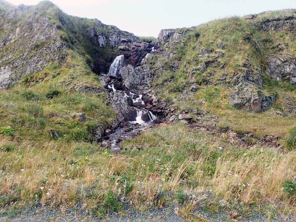
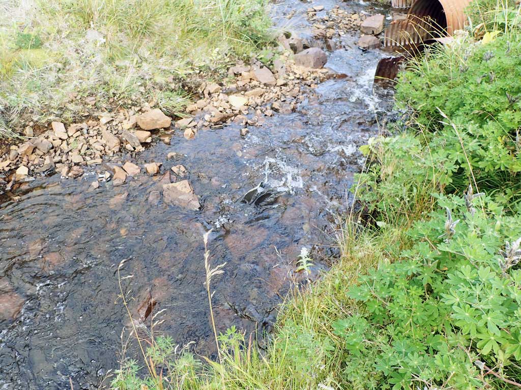
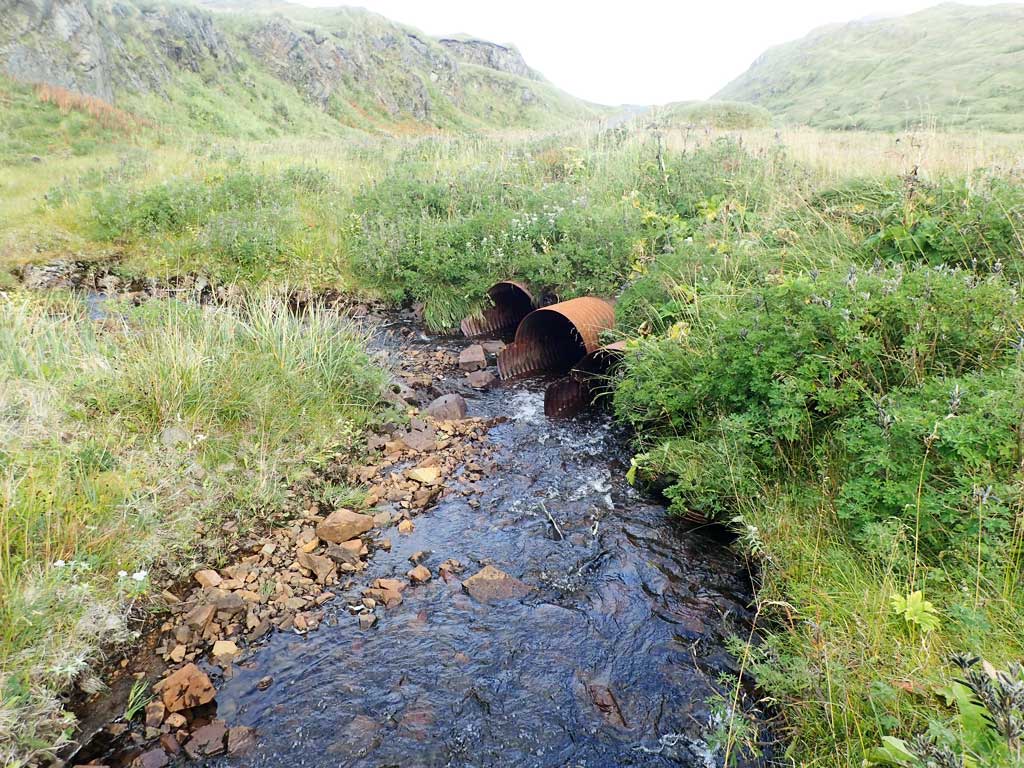
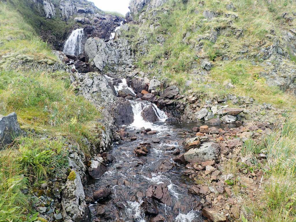
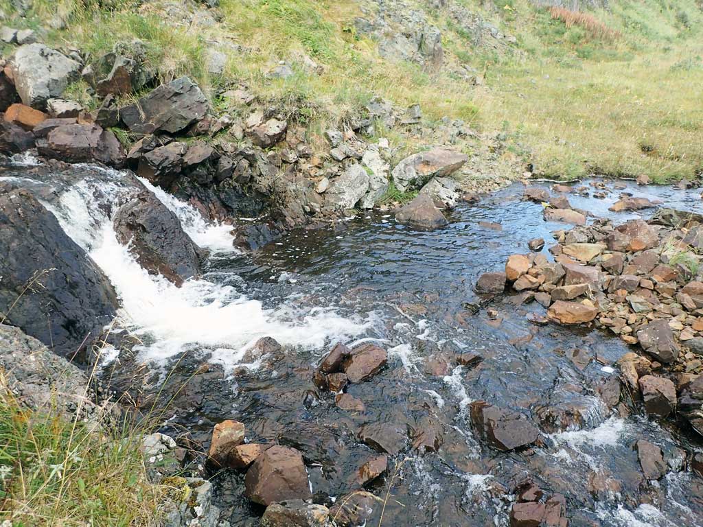
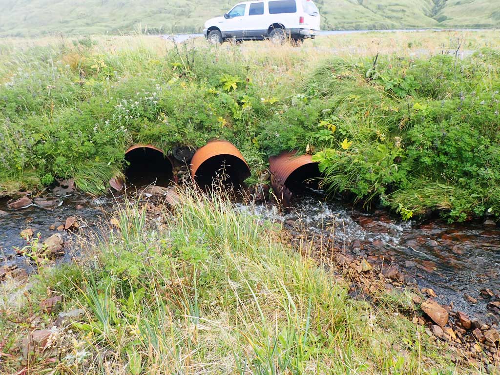
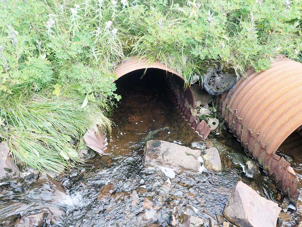
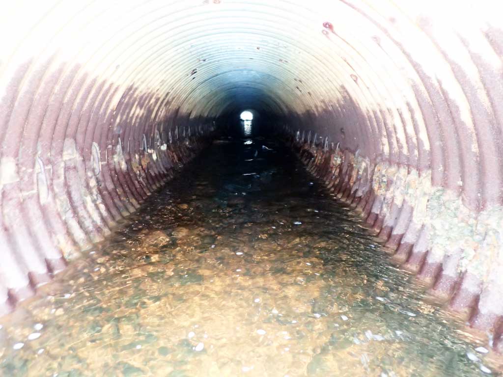
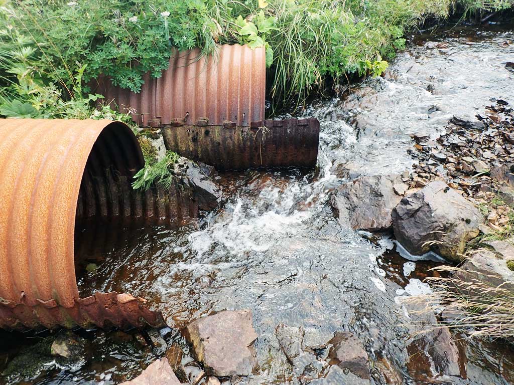
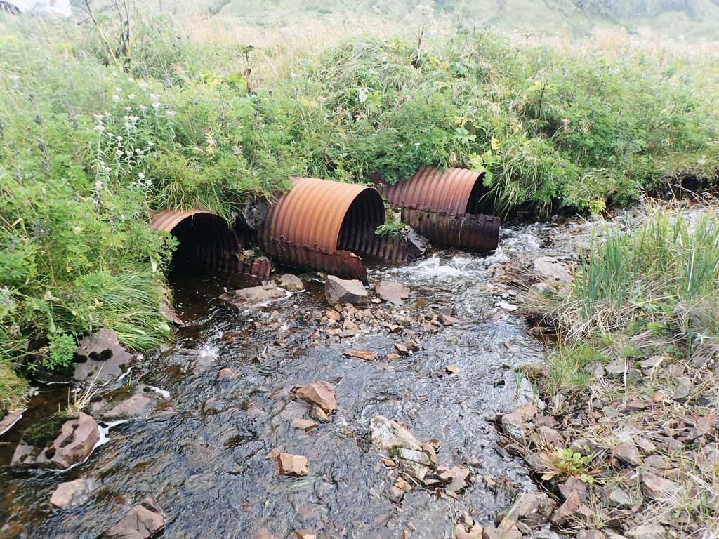
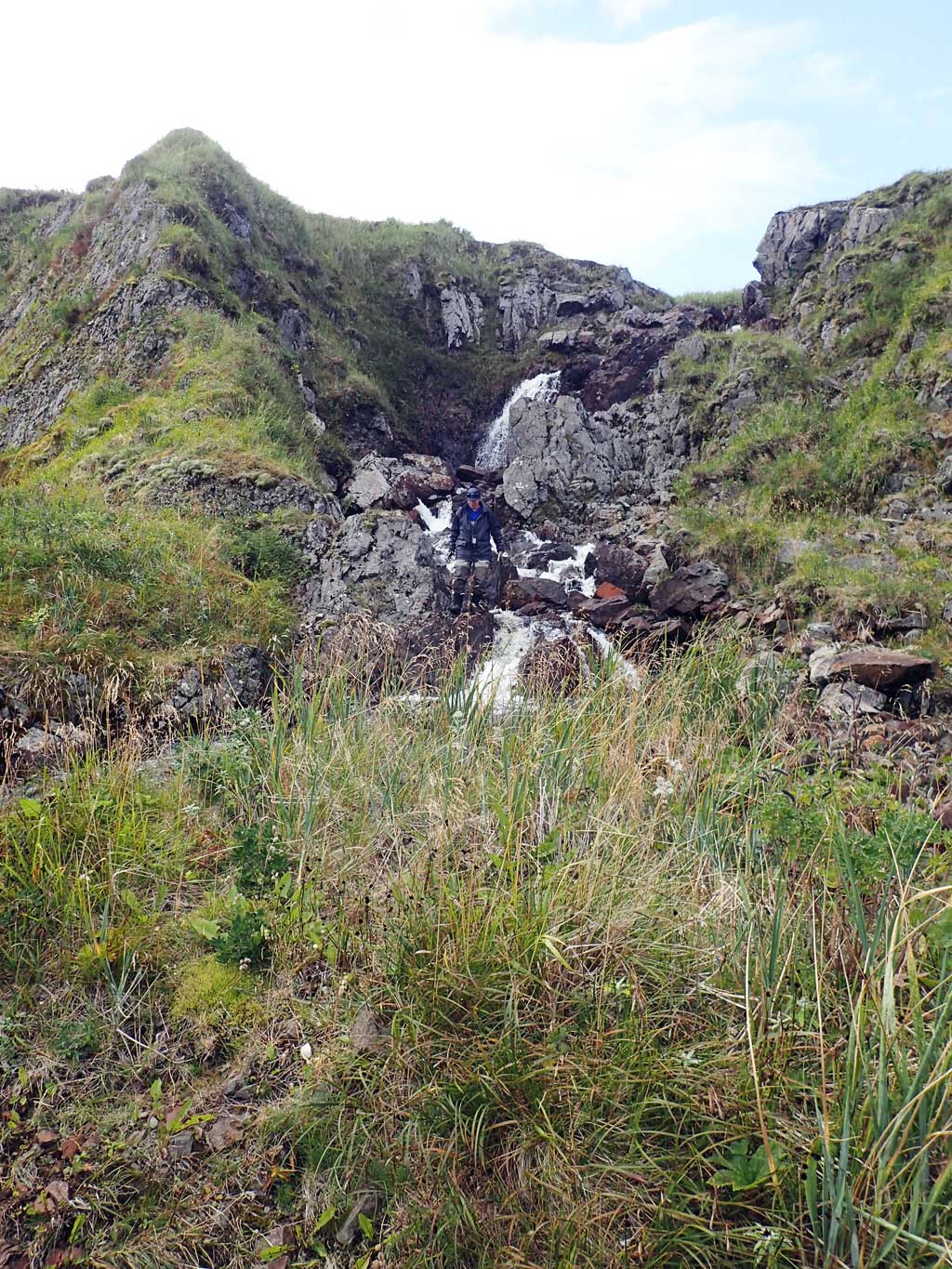
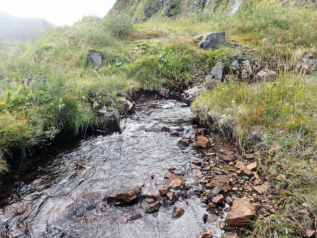
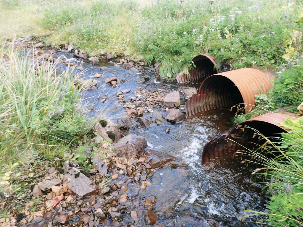
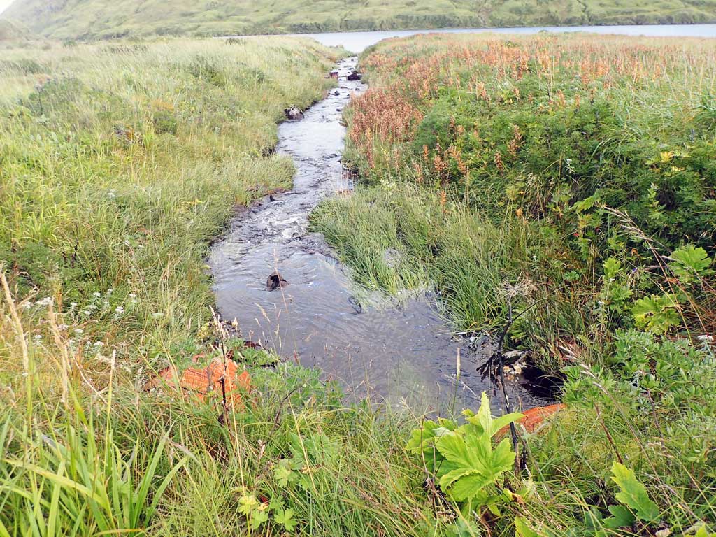
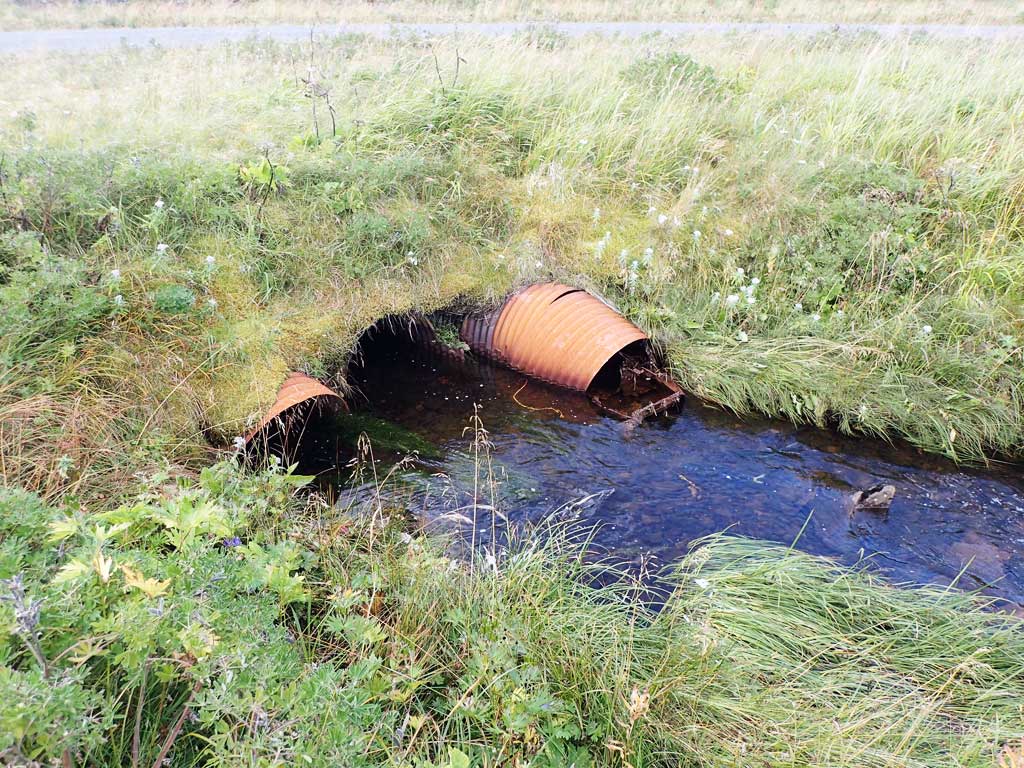
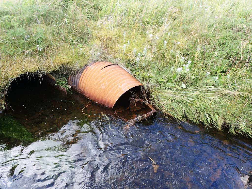
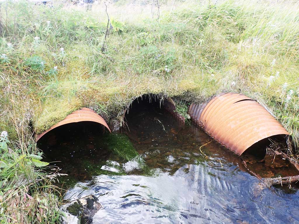
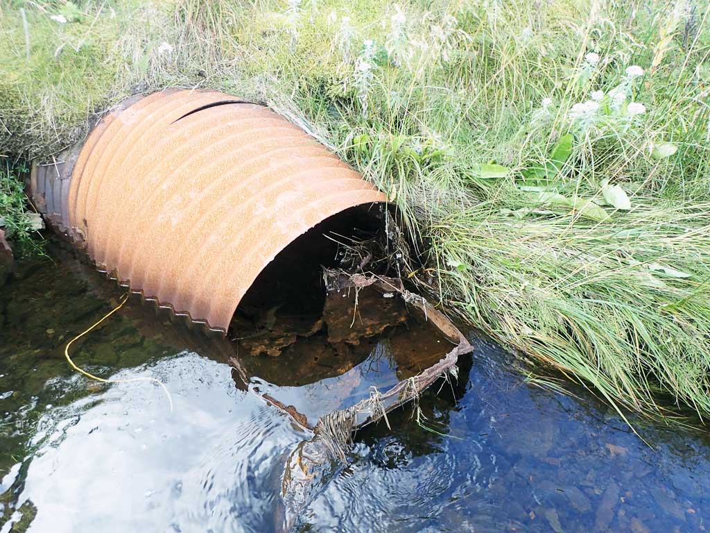
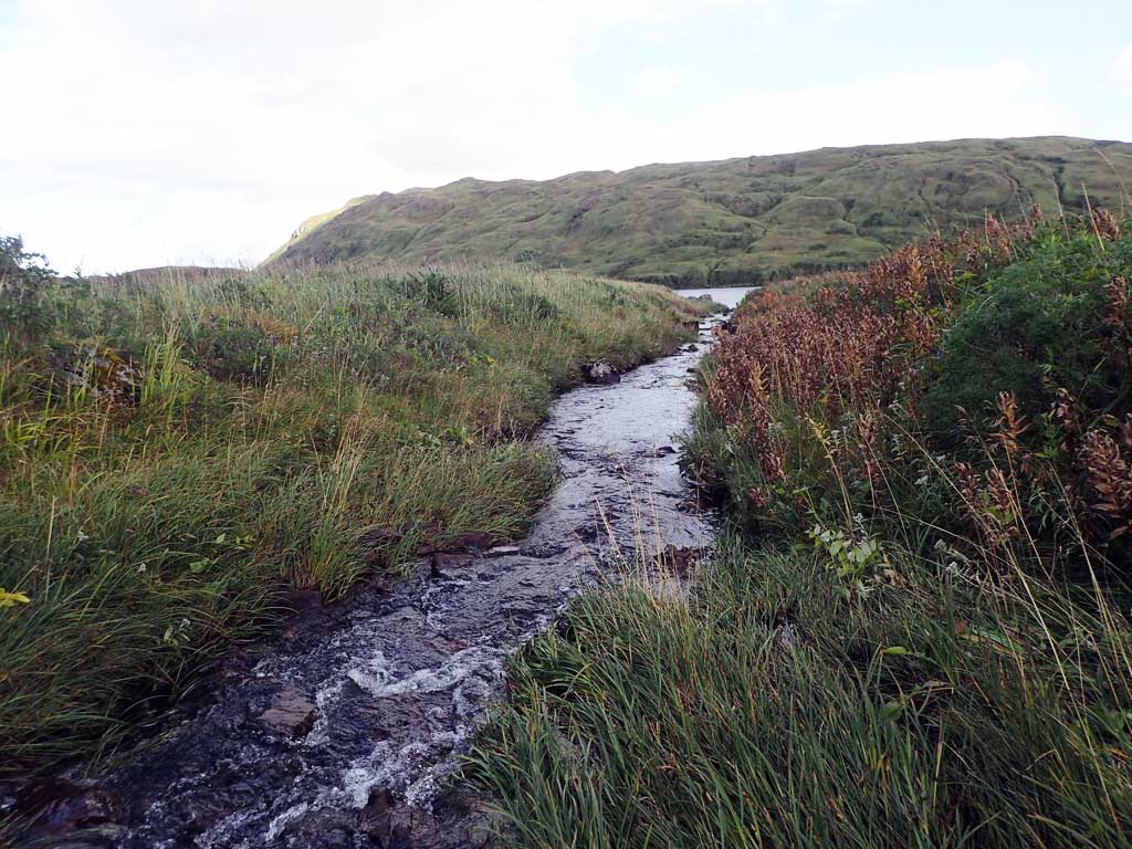
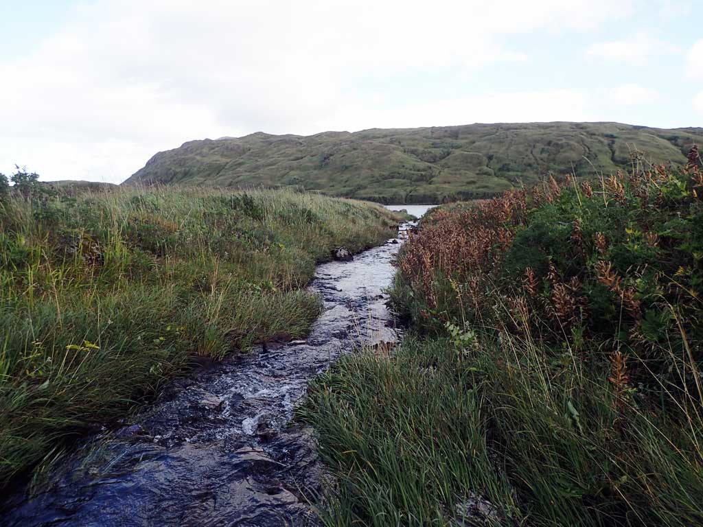
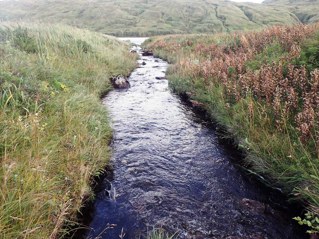
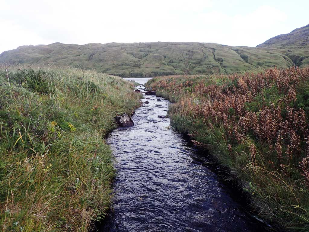
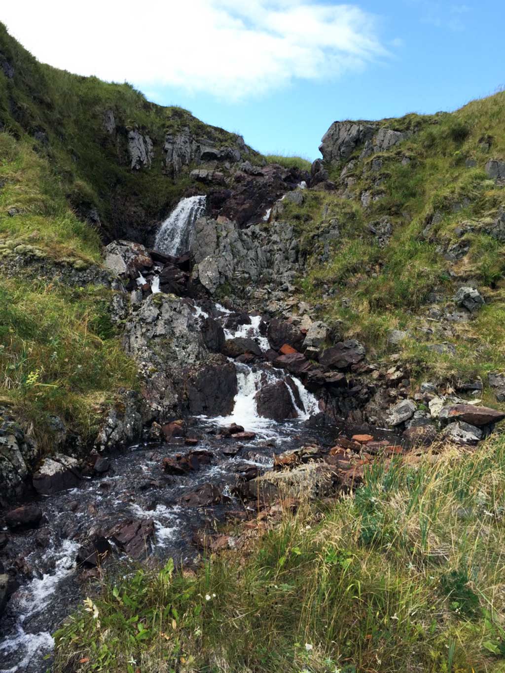
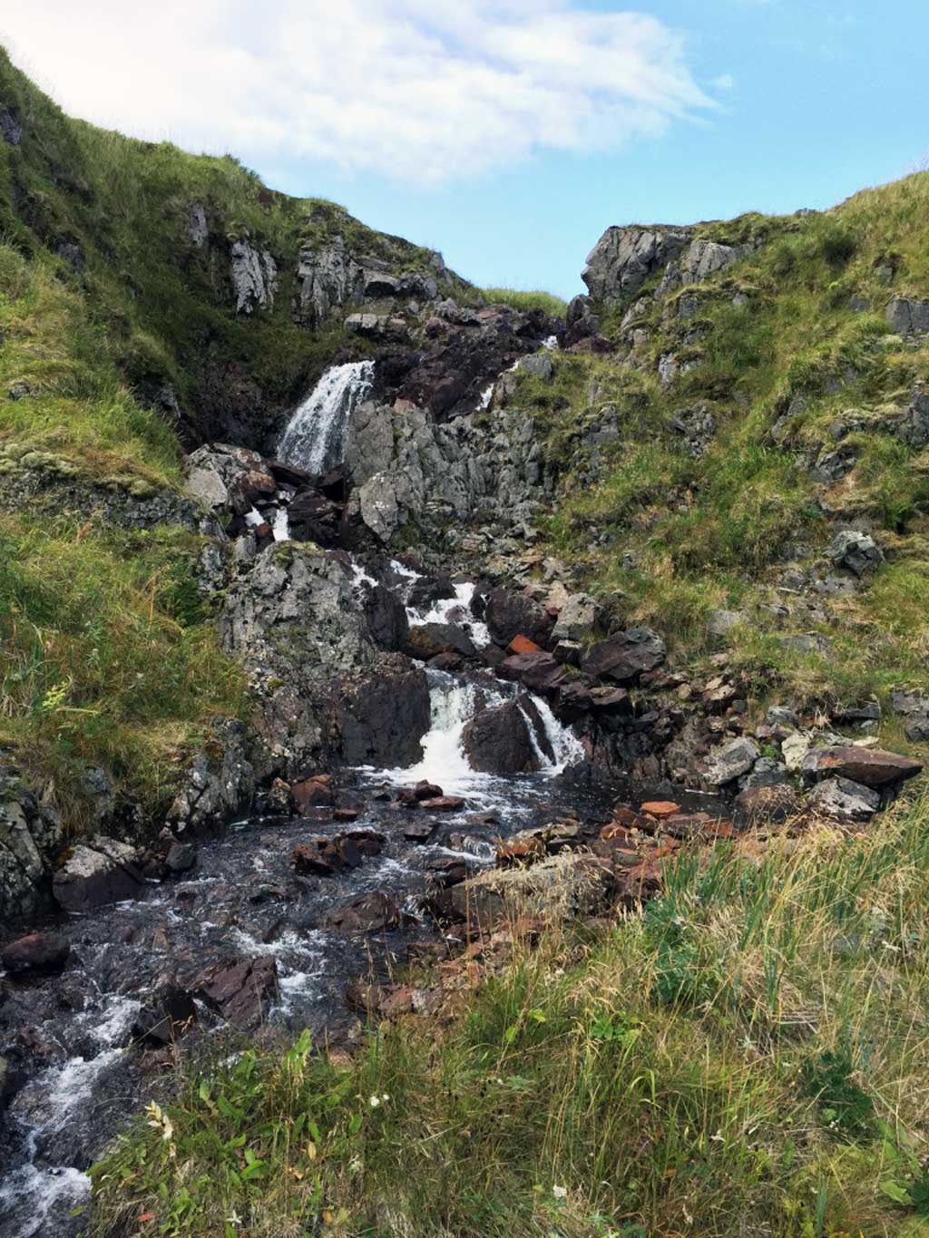
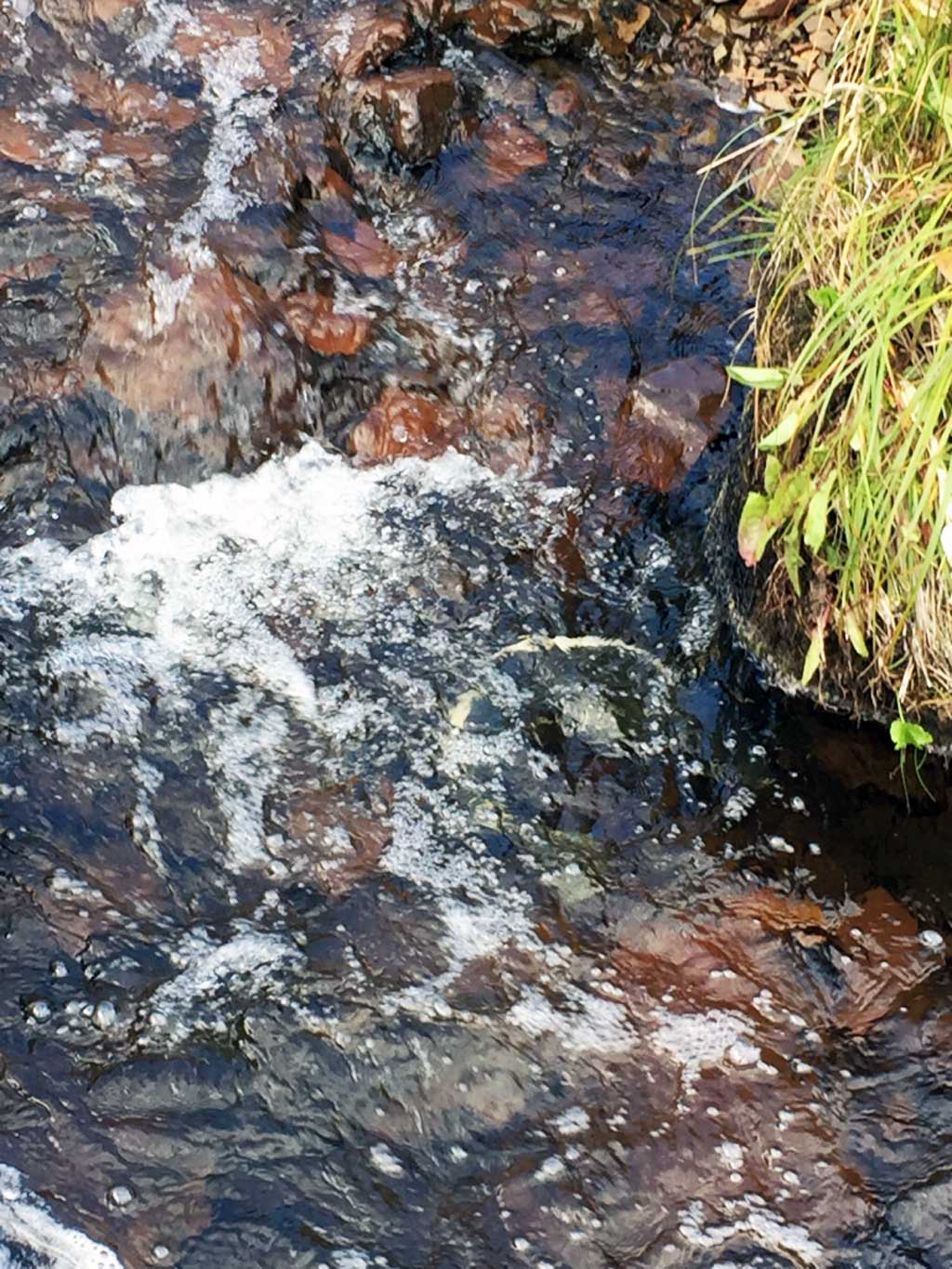
Comments: This information was gathered as part of the joint reconnaissance level project between the ADF&G Habitat Division and the Fish Passage Assessment Project on Adak Island. Due to time constraints full site assessments were not conducted, but base line information was collected. 25' waterfall barrier about 70 feet upstream from inlets. Adult pink salmon observed all the way to the base of the waterfall barrier and downstream of crossing. Upstream habitat above waterfall looks to be high quality and Dolly Varden char and Rainbow Trout were captured upstream at crossing C156.
Culvert Measurements
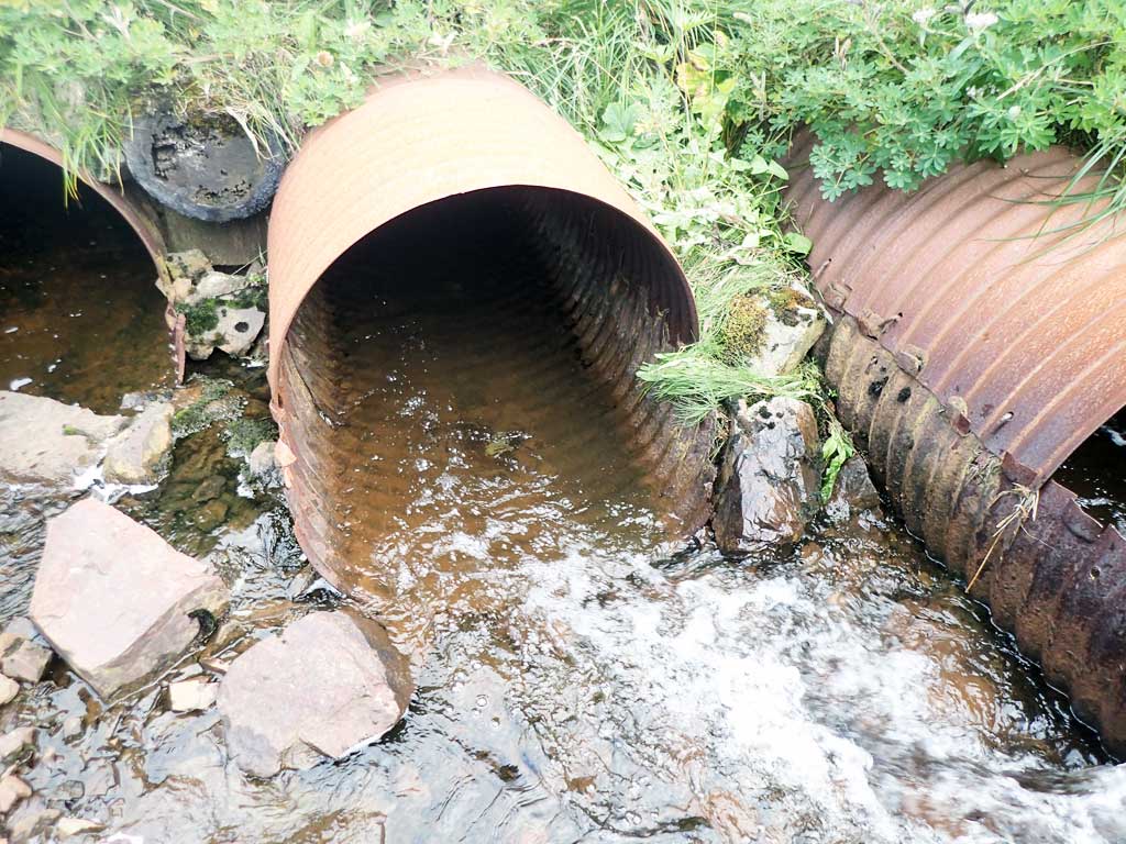
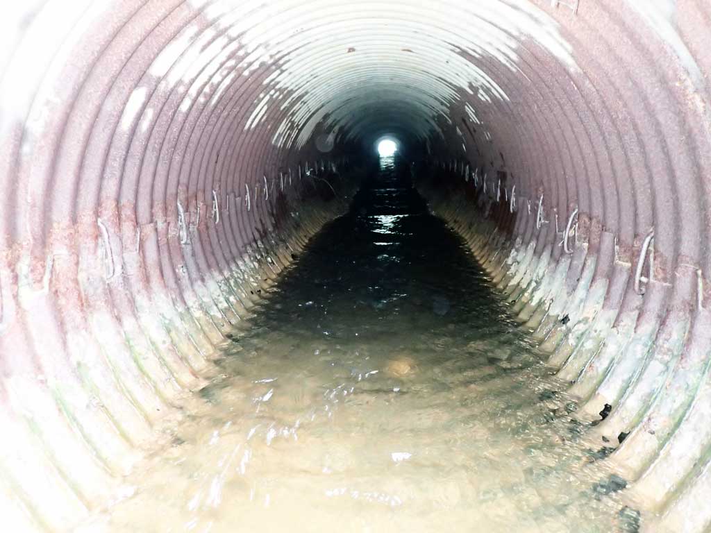
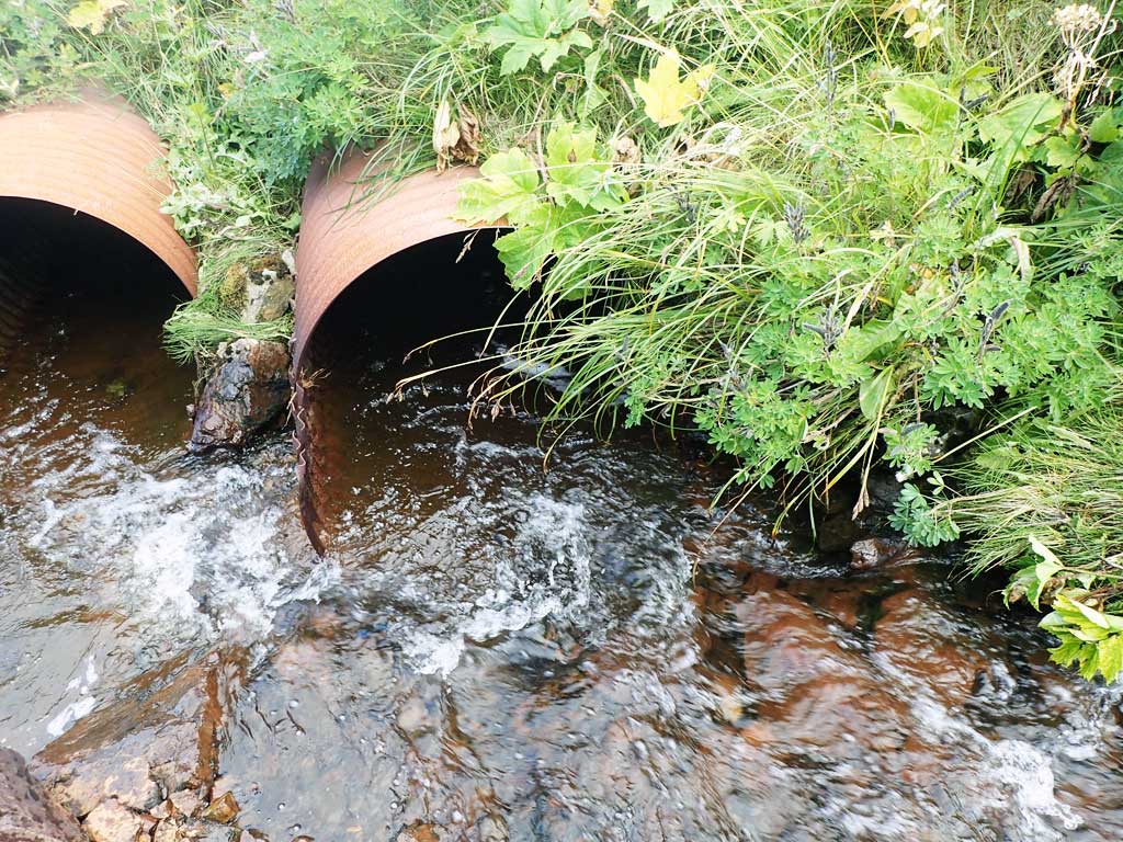
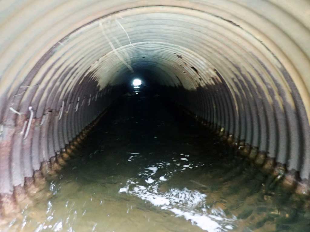
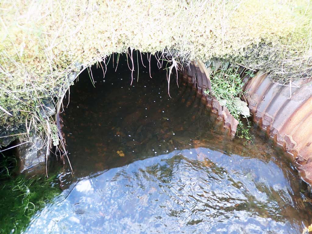
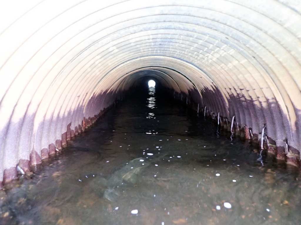
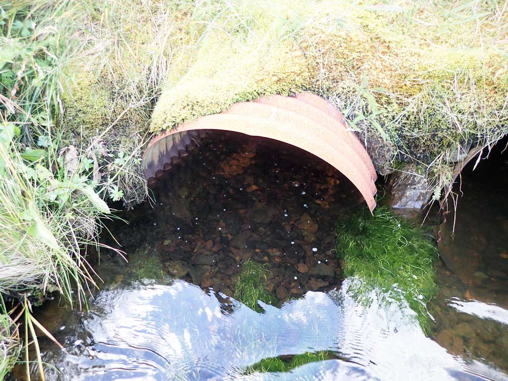
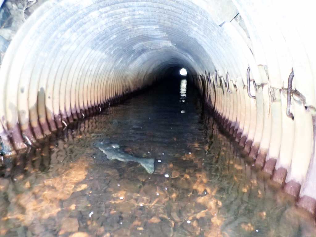
| ID: 1 | Structure Type: Circular pipe (Corrugated steel) | Fish Passage Rating: | |||||||||||||||||||||||||||||||||||||||||
|
|
|
|||||||||||||||||||||||||||||||||||||||||
Comments: Culverts show significant signs of deterioration with most of the barrier rusted and rusted out section noticeable. May be inundated at some high tides. |
|||||||||||||||||||||||||||||||||||||||||||
| ID: 2 | Structure Type: Circular pipe (Corrugated steel) | Fish Passage Rating: | |||||||||||||||||||||||||||||||||||||||||
|
|
|
|||||||||||||||||||||||||||||||||||||||||
Comments: Culverts show significant signs of deterioration with most of the barrier rusted and rusted out section noticeable. May be inundated at some high tides. |
|||||||||||||||||||||||||||||||||||||||||||
| ID: 3 | Structure Type: Circular pipe (Corrugated steel) | Fish Passage Rating: | |||||||||||||||||||||||||||||||||||||||||
|
|
|
|||||||||||||||||||||||||||||||||||||||||
Comments: Culverts show significant signs of deterioration with most of the barrier rusted and rusted out section noticeable. May be inundated at some high tides. |
|||||||||||||||||||||||||||||||||||||||||||
Stream Measurements
|
|
No stream width data available.
Elevations
No elevation data available.
Fish Sampling Efforts
| Gear Type: Visual Observation, Ground (A) | ||
Fish Observations
| Species: adult spawning pink salmon | Life History: Anadromous | ||
| Total Fish Observed: 30 | Fish Measured: | Fork Lengths (mm) Min: Max: Mean: | |
| Collected/Observed by Gear Type: At Site Visual Observation, Ground (30) | |||
| Comments: Pinks observed all the way up to the base of the waterfall barrier about 70 feet upstream from road crossing. | |||
Photos

Questions or comments about this report can be directed to dfg.dsf.webmaster@alaska.gov