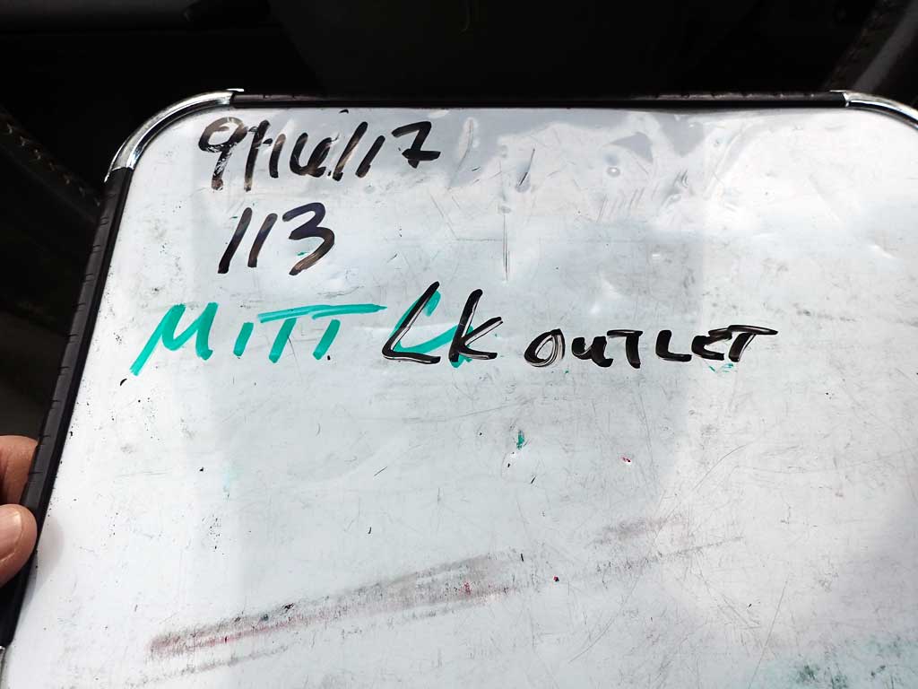
Fish Passage Site 30103629
Coordinates (dec. deg.): 51.84383°, -176.65969°
Legal Description: S096S195W22
Region: Southwest
Road Name: Old Military Road
Datum: NAD83
Quad Name / ITM: Adak C-2
AWC Stream #:
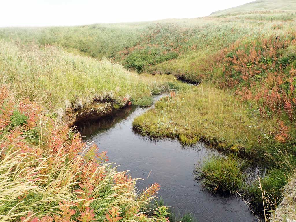
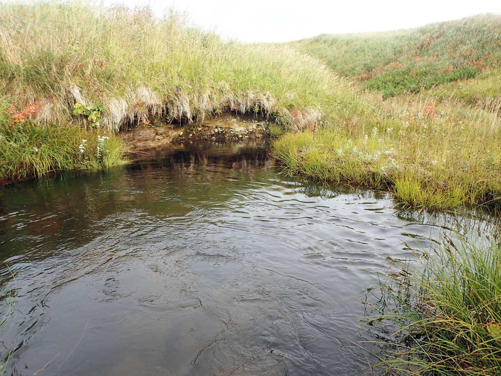
Stream Name: Mitt Creek
Elevation:
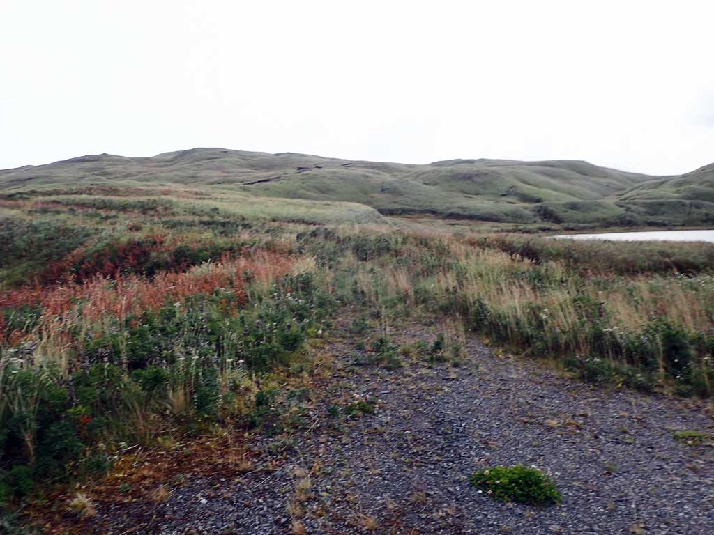
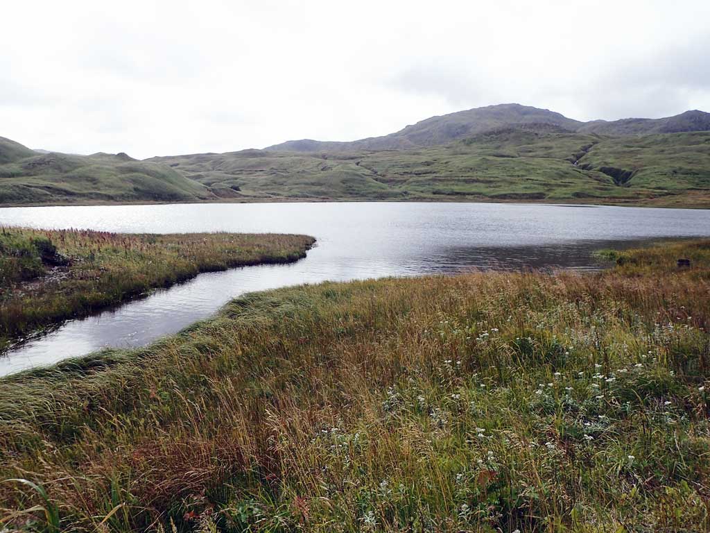
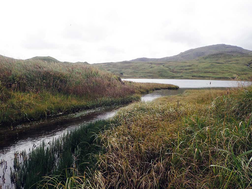
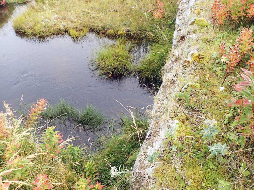
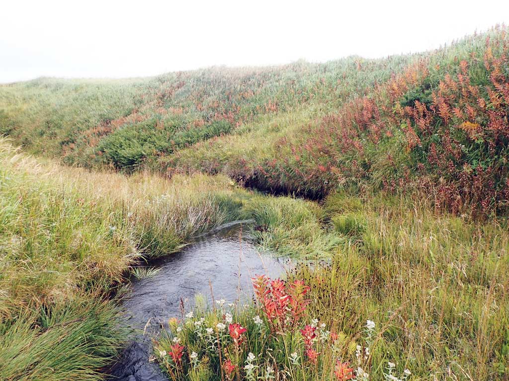
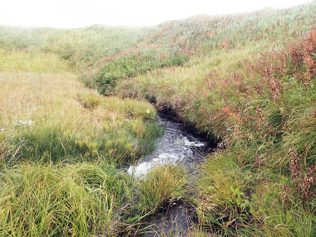
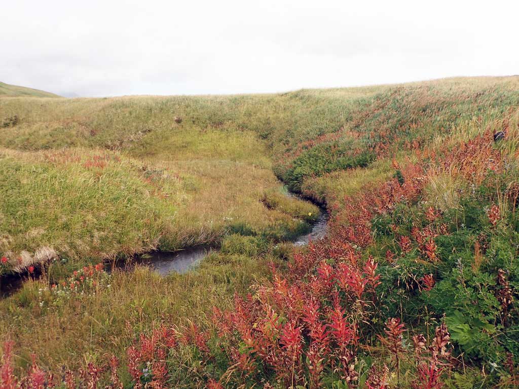
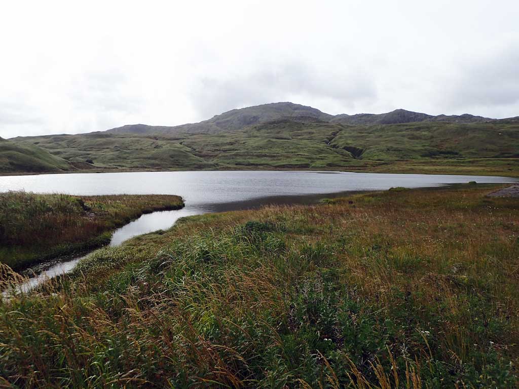
Site Comments: Site is at the mouth of Mitt Lake and above documented anadromy.
Survey ADAK17-C113
Observers: Mark Eisenman, Jeanette Alas
Overall Fish Passage Rating:
Tidal: No
Backwatered: No
Step Pools: No
Construction Year:
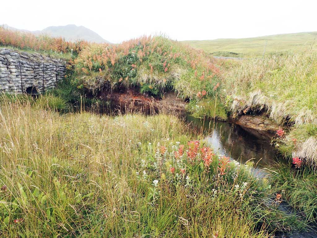
Comments: This information was gathered as part of the joint reconnaissance level project between the ADF&G Habitat Division and the Fish Passage Assessment Project on Adak Island. Due to time constraints full site assessments were not conducted, but base line information was collected. Site is at the mouth of Mitt Lake. Dolly Varden char were electrofished upstream in a tributary to the lake. Barrier falls downstream.
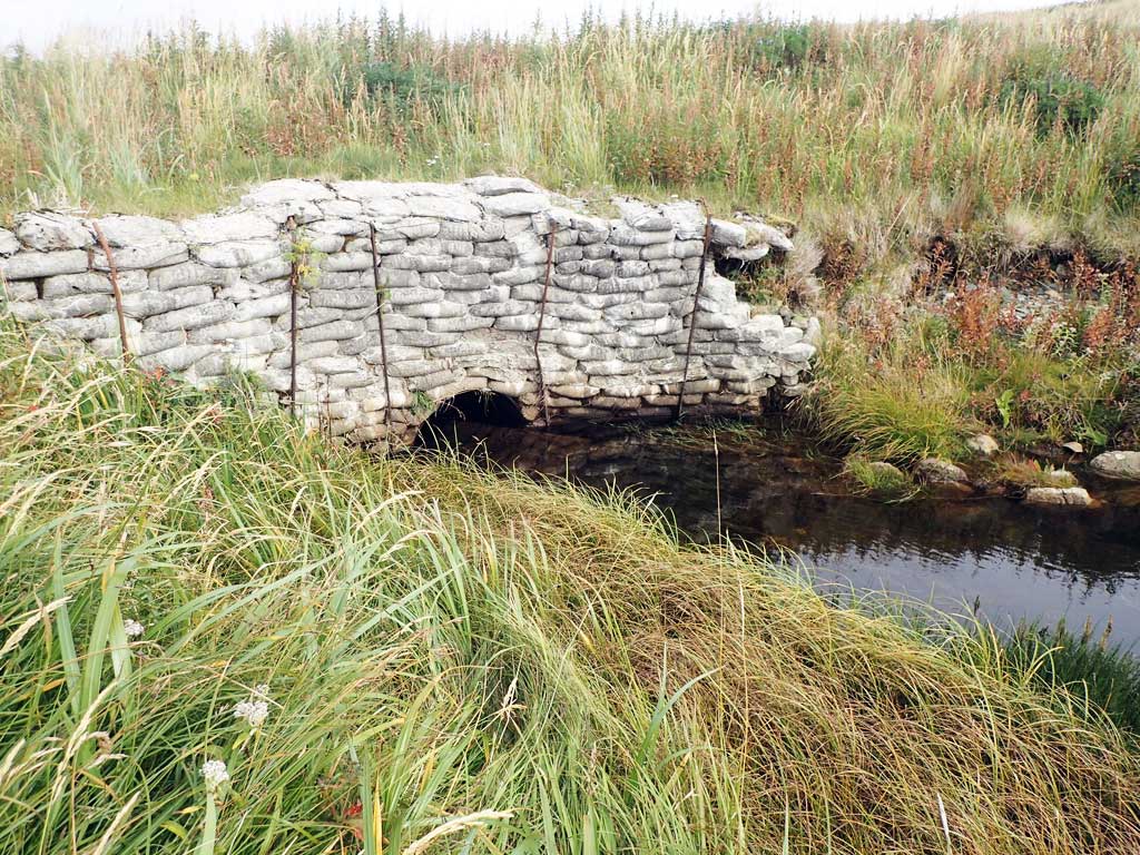
Culvert Measurements
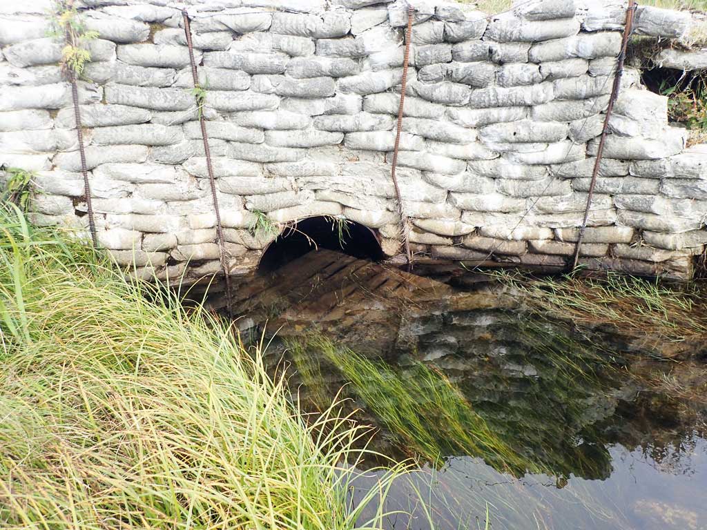
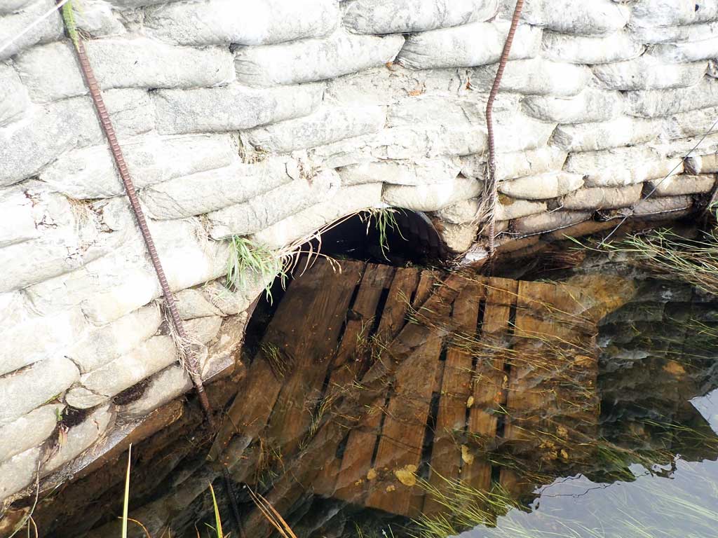
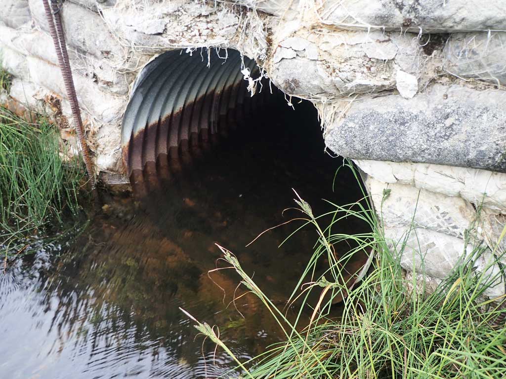
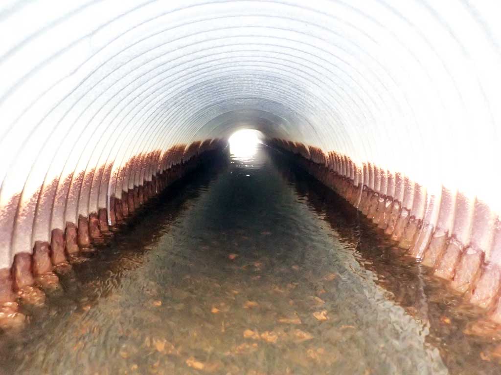
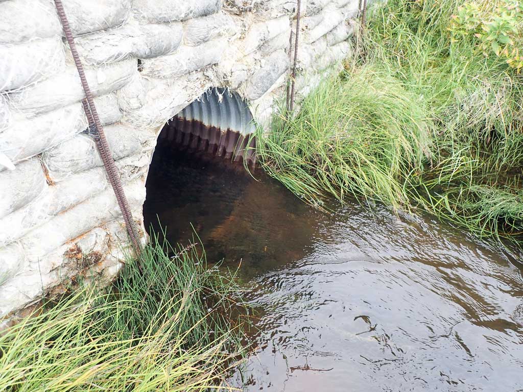
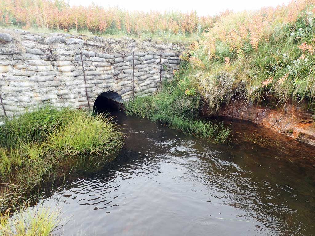
| ID: 1 | Structure Type: Circular pipe (Corrugated steel) | Fish Passage Rating: | |||||||||||||||||||||||||||||||||||||||||
|
|
|
|||||||||||||||||||||||||||||||||||||||||
Comments: Debris, pallets, clogging inlet. Concrete pillow headwalls. Water surface fairly flat throught culvert, might be constricted. |
|||||||||||||||||||||||||||||||||||||||||||
Stream Measurements
|
|
No stream width data available.
Elevations
No elevation data available.
Fish Sampling Efforts
No fish sampling occurred during this survey.
Fish Observations
No fish observations occurred during this survey.
Photos
Questions or comments about this report can be directed to dfg.dsf.webmaster@alaska.gov