Fish Passage Site 30103628
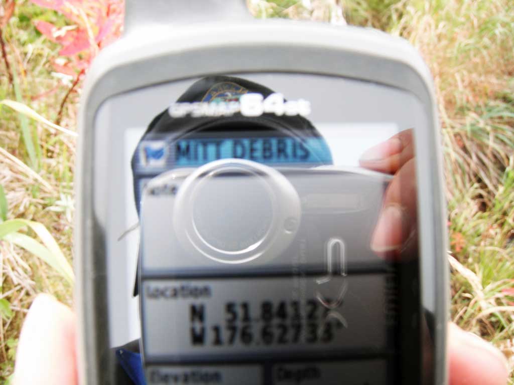
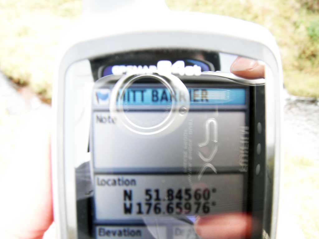
Coordinates (dec. deg.): 51.84939°, -176.65382°
Legal Description: S096S195W22
Region: Southwest
Road Name: Finger Bay Road
Datum: NAD83
Quad Name / ITM: Adak C-2
AWC Stream #: 306-70-10225
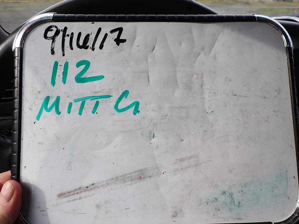
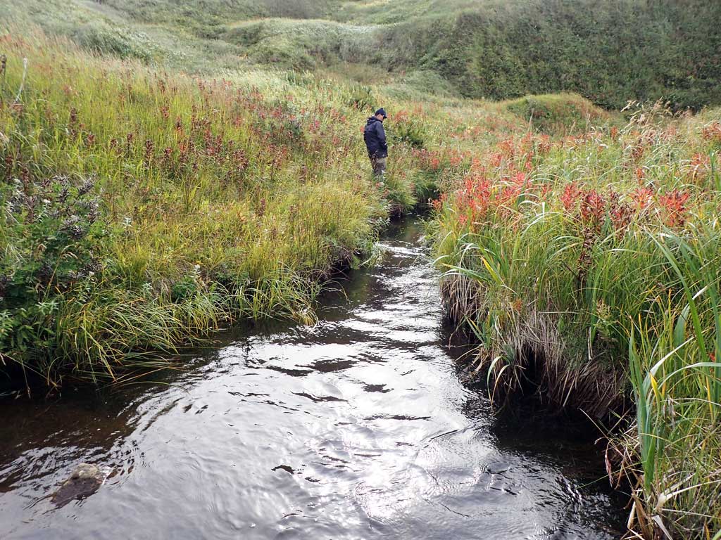
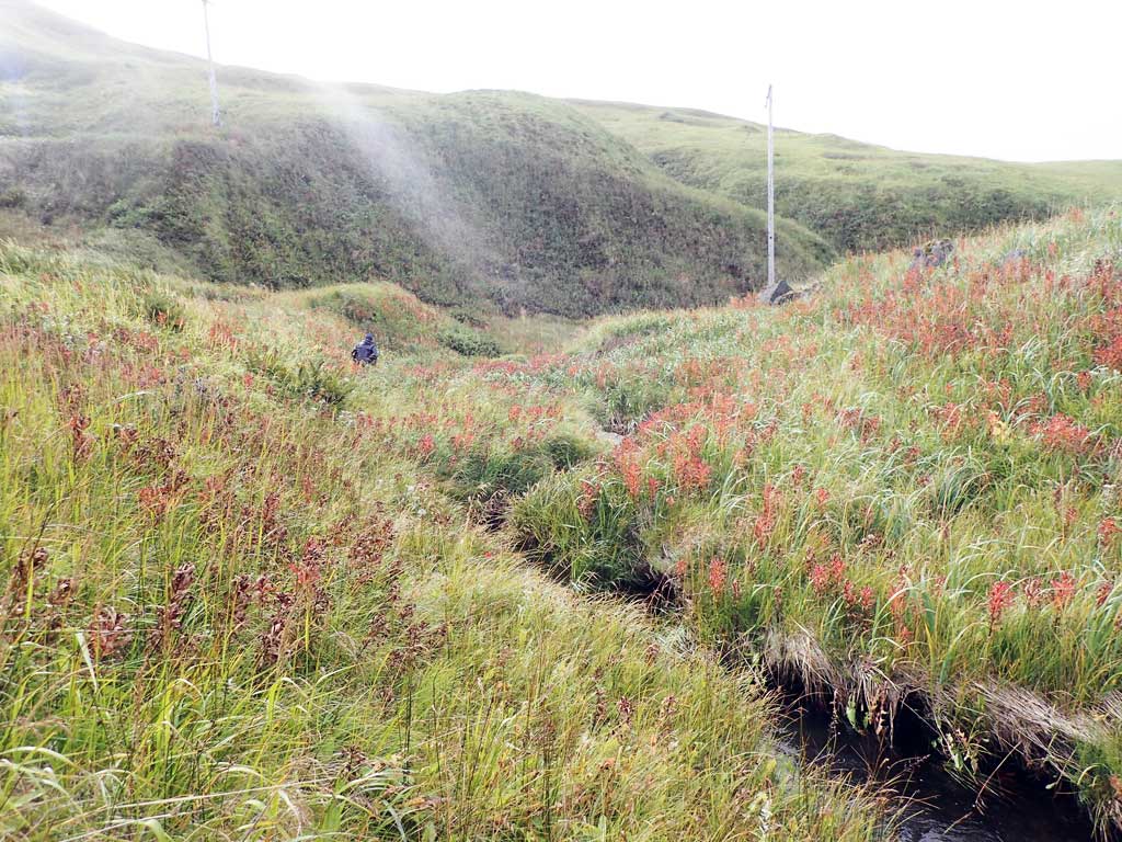
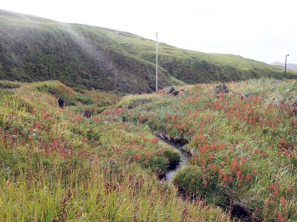
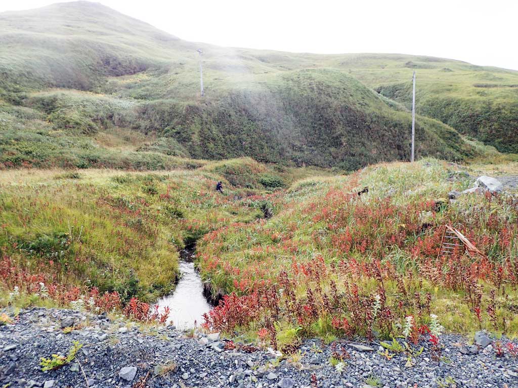
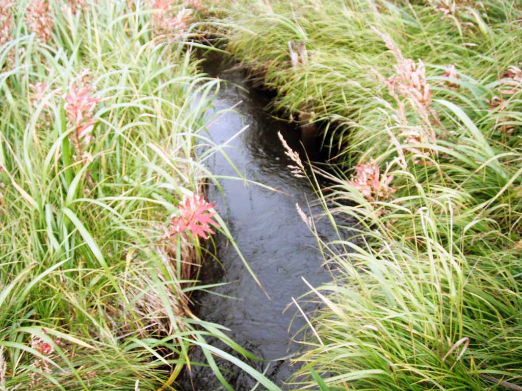
Stream Name: Mitt Creek
Elevation:
Site Comments: None
Survey ADAK17-C112
Observers: Mark Eisenman, Jeanette Alas
Overall Fish Passage Rating:
Tidal: Yes
Backwatered: No
Step Pools: No
Construction Year:
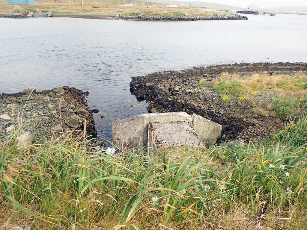
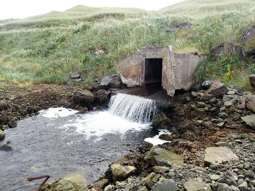
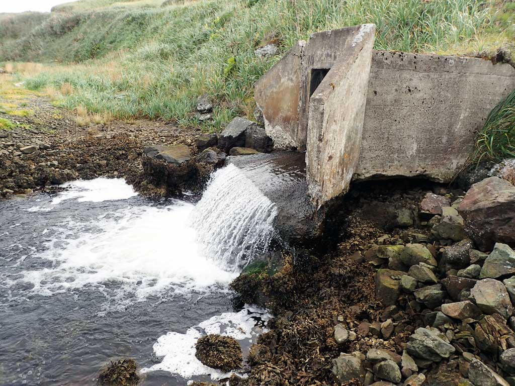
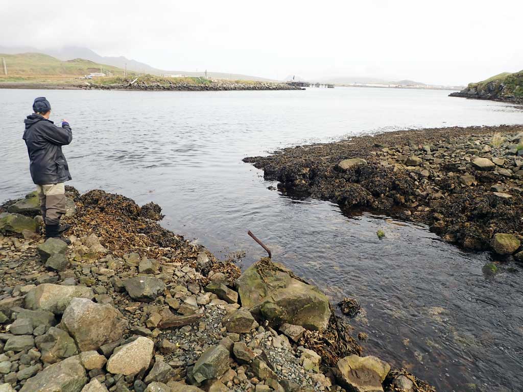
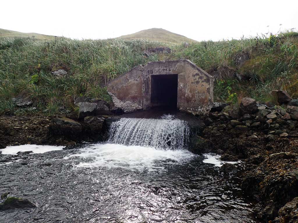
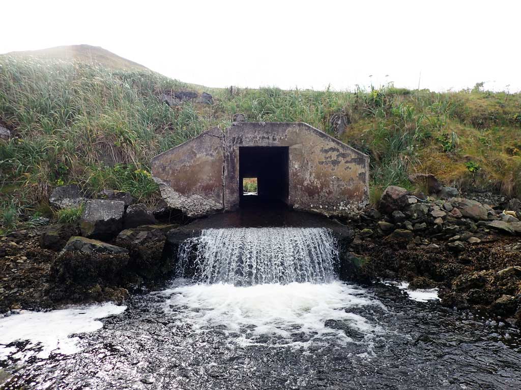
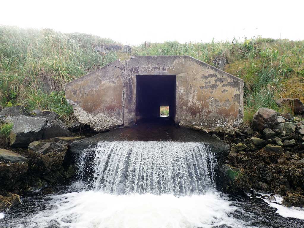
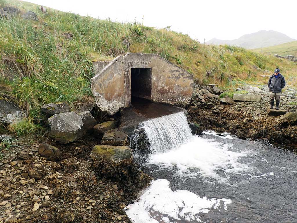
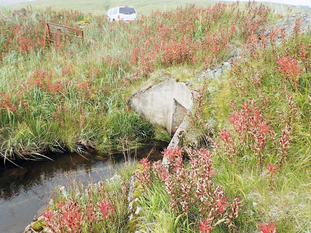
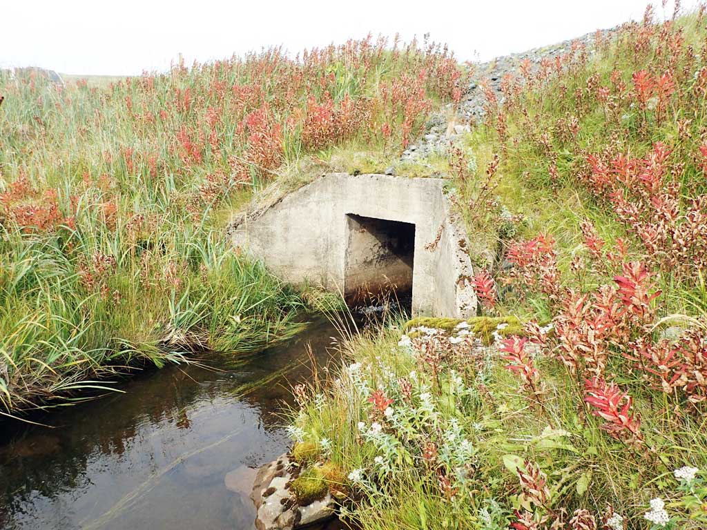
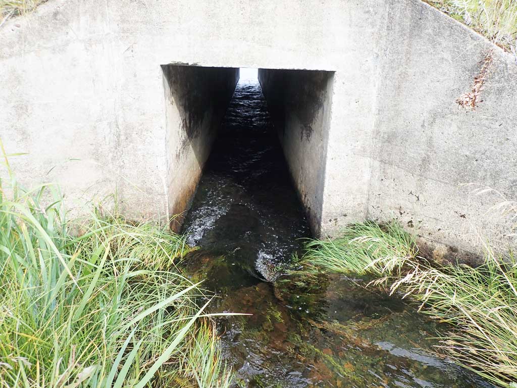
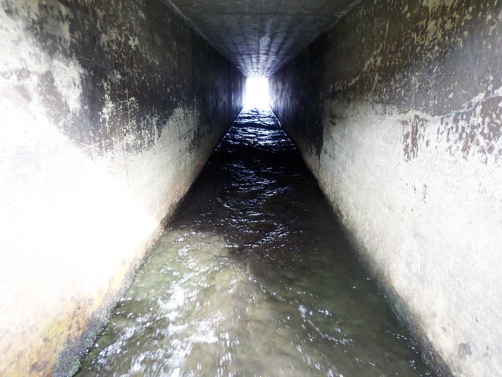
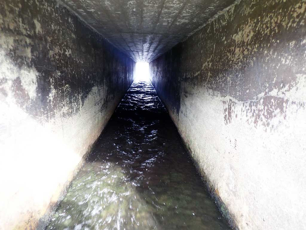
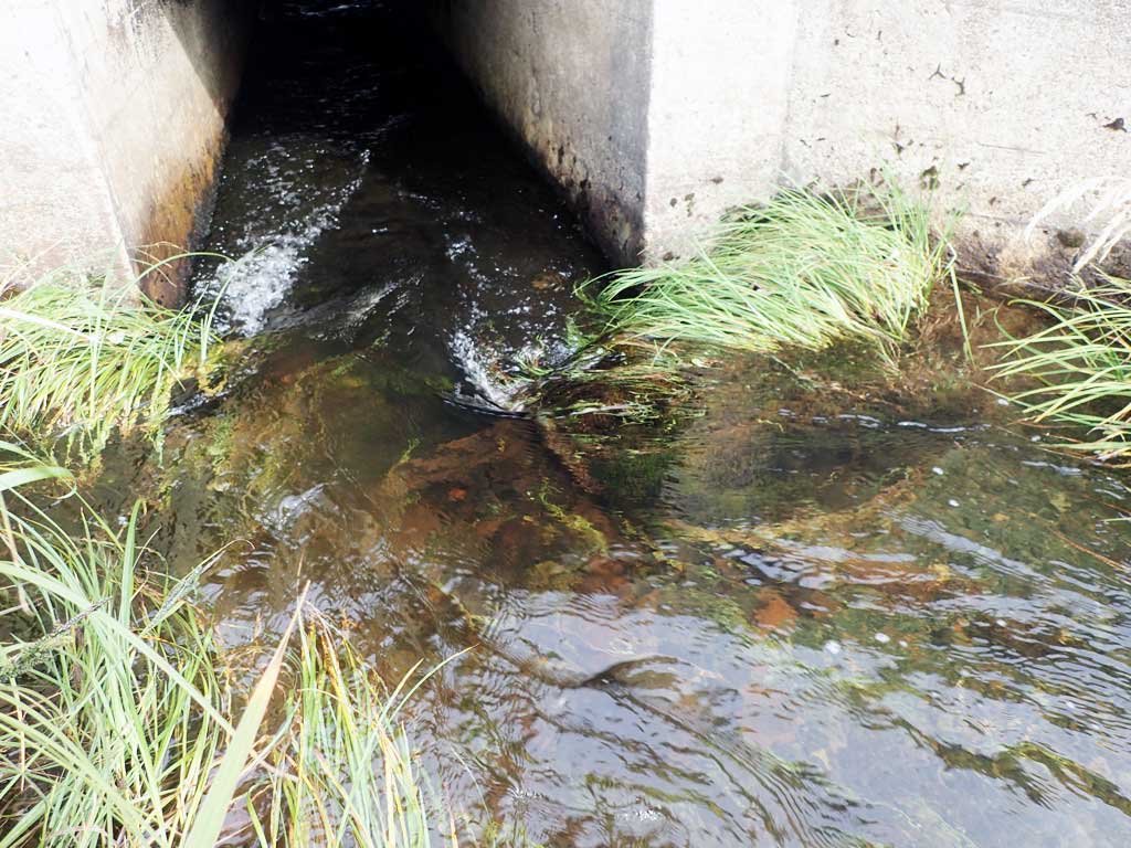
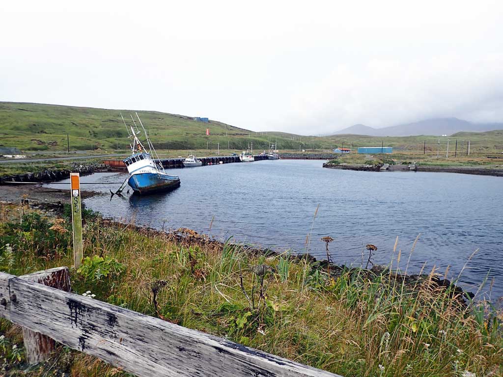
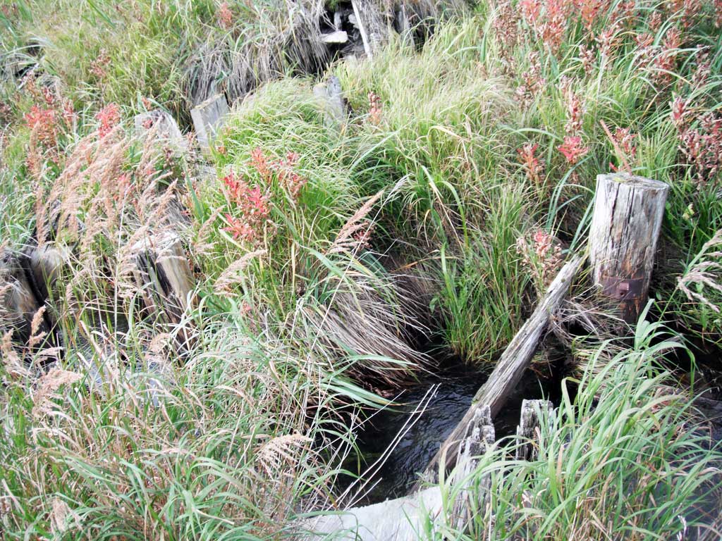
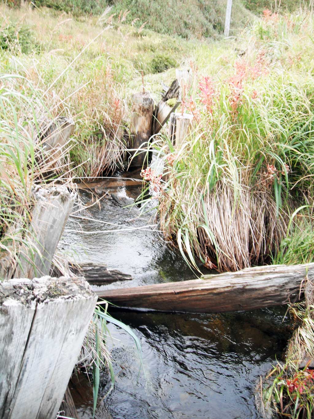
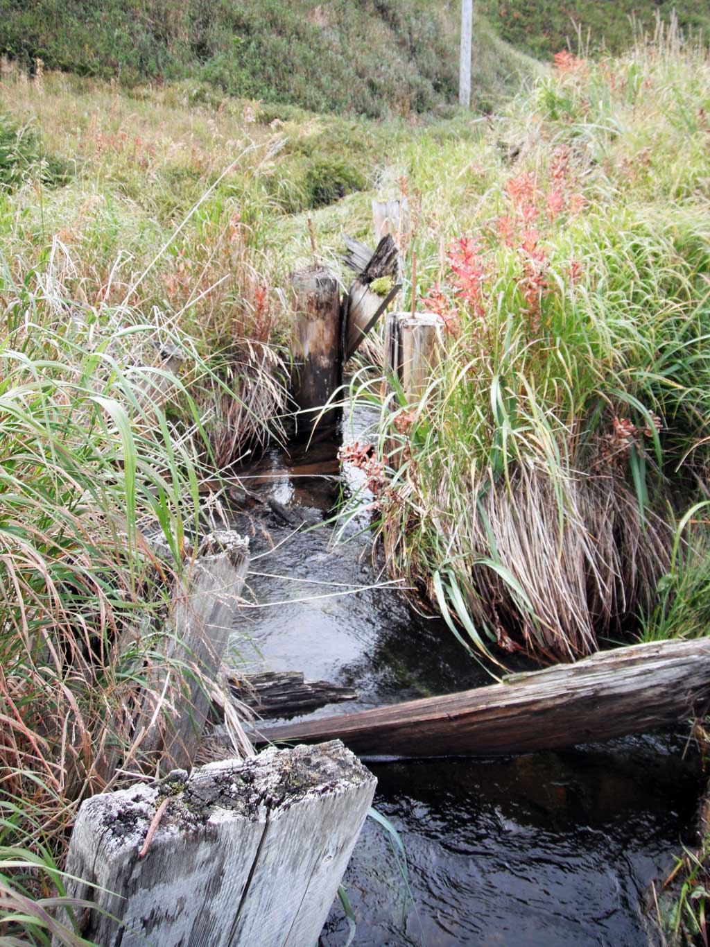
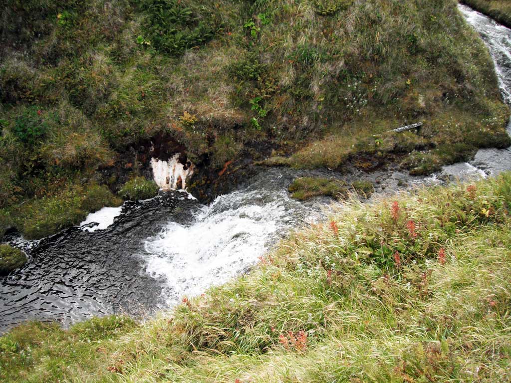
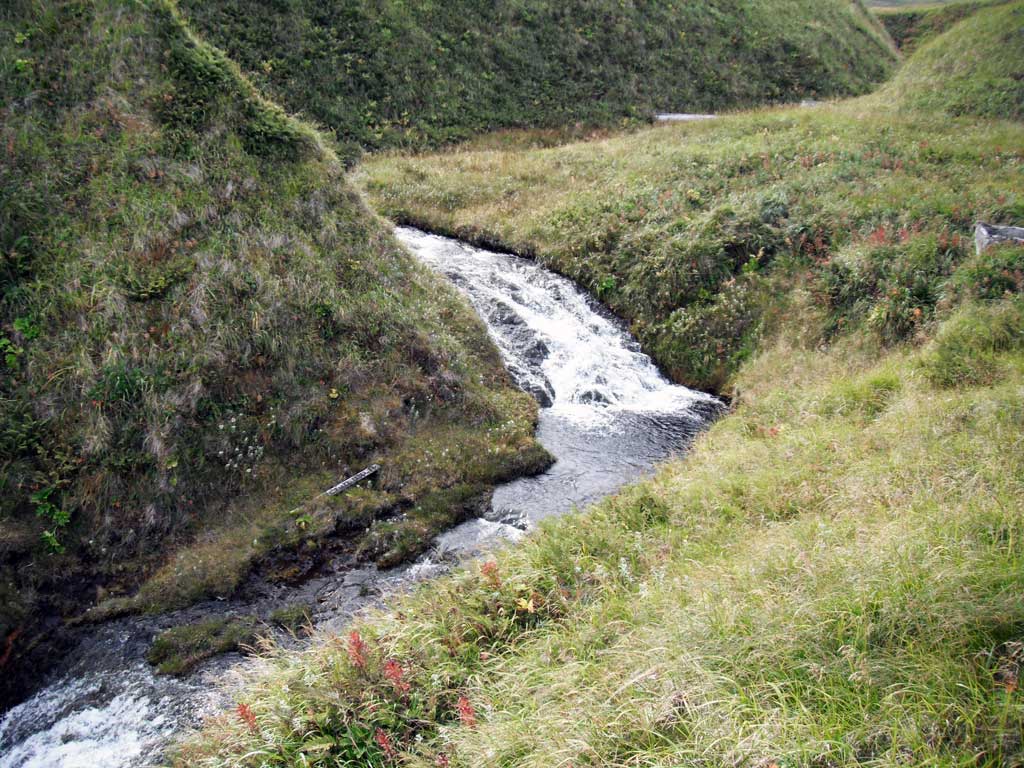
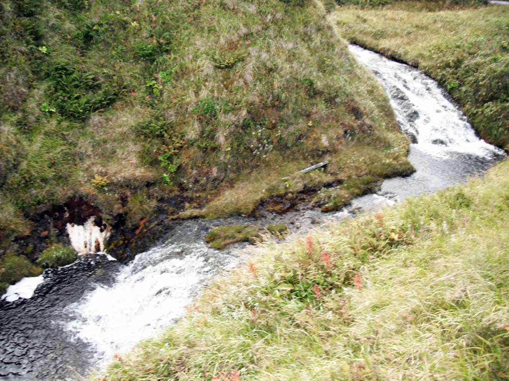
Comments: This information was gathered as part of the joint reconnaissance level project between the ADF&G Habitat Division and the Fish Passage Assessment Project on Adak Island. Due to time constraints full site assessments were not conducted, but base line information was collected. Mitt Creek enters Sweeper Cove directly downstream of outlet. Outlet perched at low tide and maybe even at most high tides. Culvert outlet undercut.
Culvert Measurements
| ID: 1 | Structure Type: Box culvert (Reinforced concrete) | Fish Passage Rating: | |||||||||||||||||||||||||||||||||||||||||
|
|
|
|||||||||||||||||||||||||||||||||||||||||
Comments: Outfall greater than 1 foot at low tides. Culvert may be innundated at very high tides, but looks like there might still be an outfall at most high tides. Outlet apron creates low water depth barrier. |
|||||||||||||||||||||||||||||||||||||||||||
Stream Measurements
|
|
No stream width data available.
Elevations
No elevation data available.
Fish Sampling Efforts
No fish sampling occurred during this survey.
Fish Observations
No fish observations occurred during this survey.
Photos


Questions or comments about this report can be directed to dfg.dsf.webmaster@alaska.gov