Fish Passage Site 30103618
Coordinates (dec. deg.): 51.87490°, -176.65260°
Legal Description: S096S195W10
Region: Southwest
Road Name: Airport Access Road
Datum: NAD83
Quad Name / ITM: Adak C-2
AWC Stream #:
Stream Name: Unnamed
Elevation:
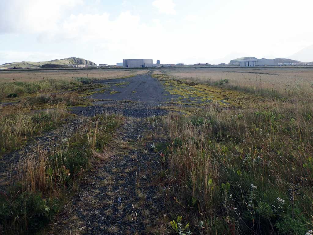
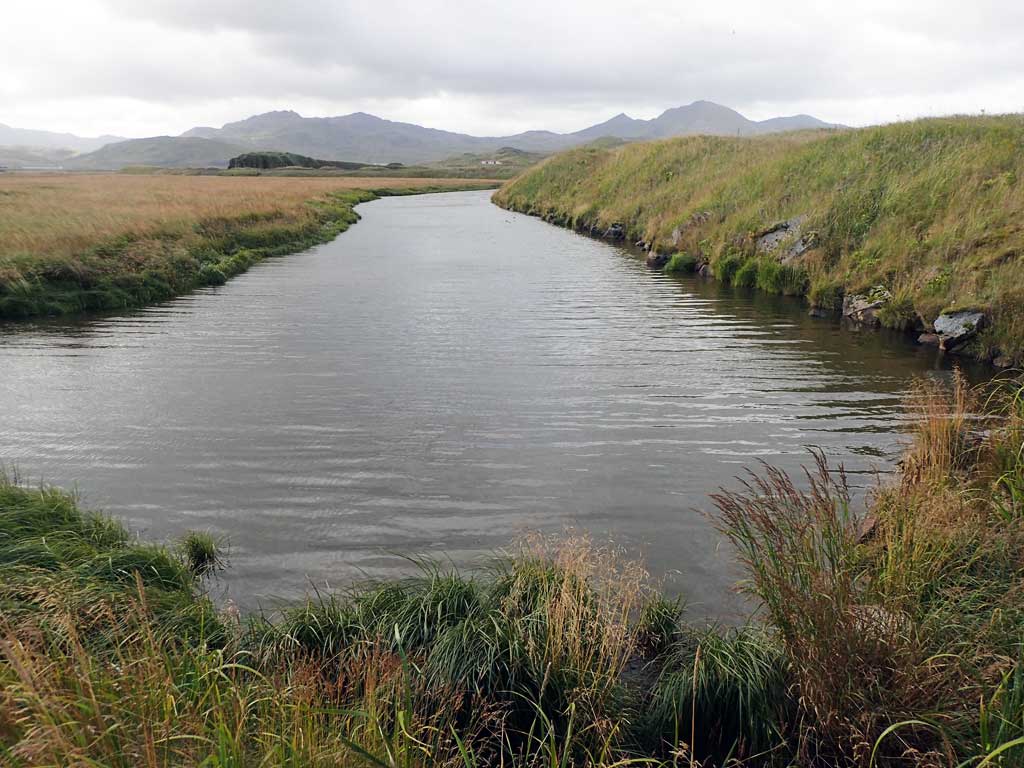
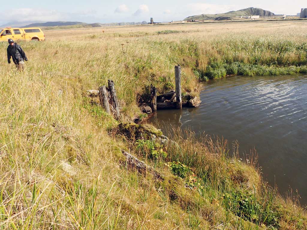
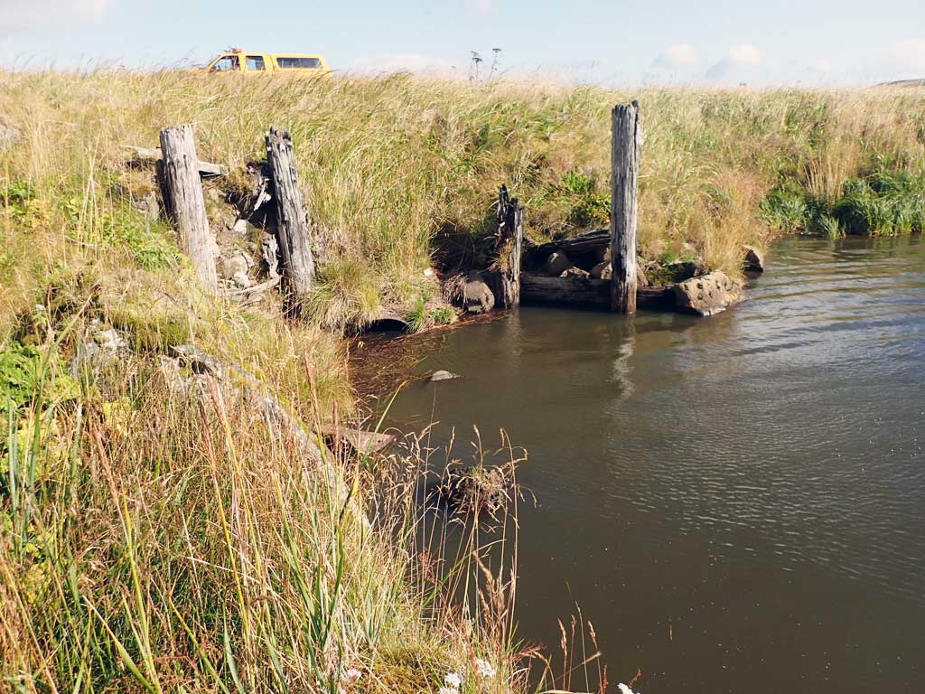
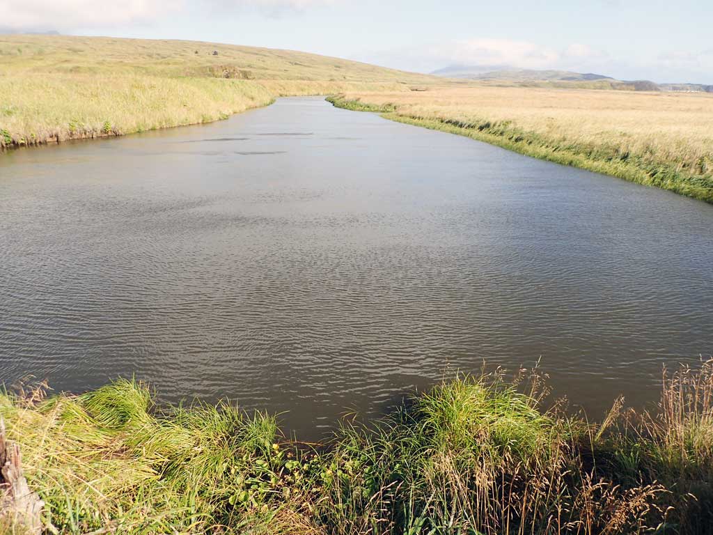
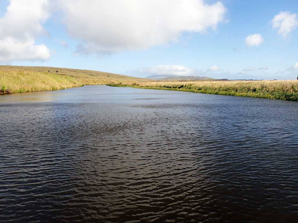
Site Comments: Creek is a ditch and part of the airport drainage system. This site parallels Sweeper Creek and is separated by a large earthen dike.
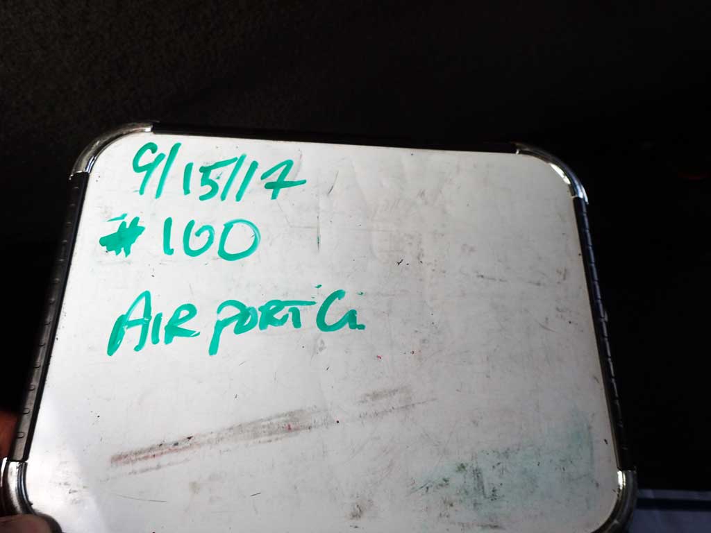
Survey ADAK17-C100
Observers: Mark Eisenman, Jeanette Alas
Overall Fish Passage Rating:
Tidal: No
Backwatered: Maybe
Step Pools: No
Construction Year:
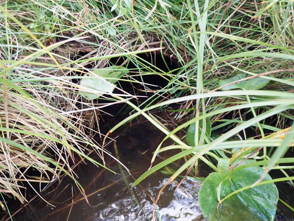
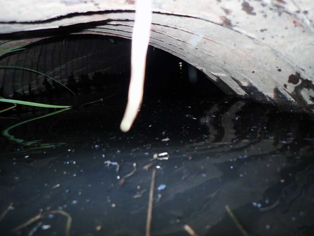
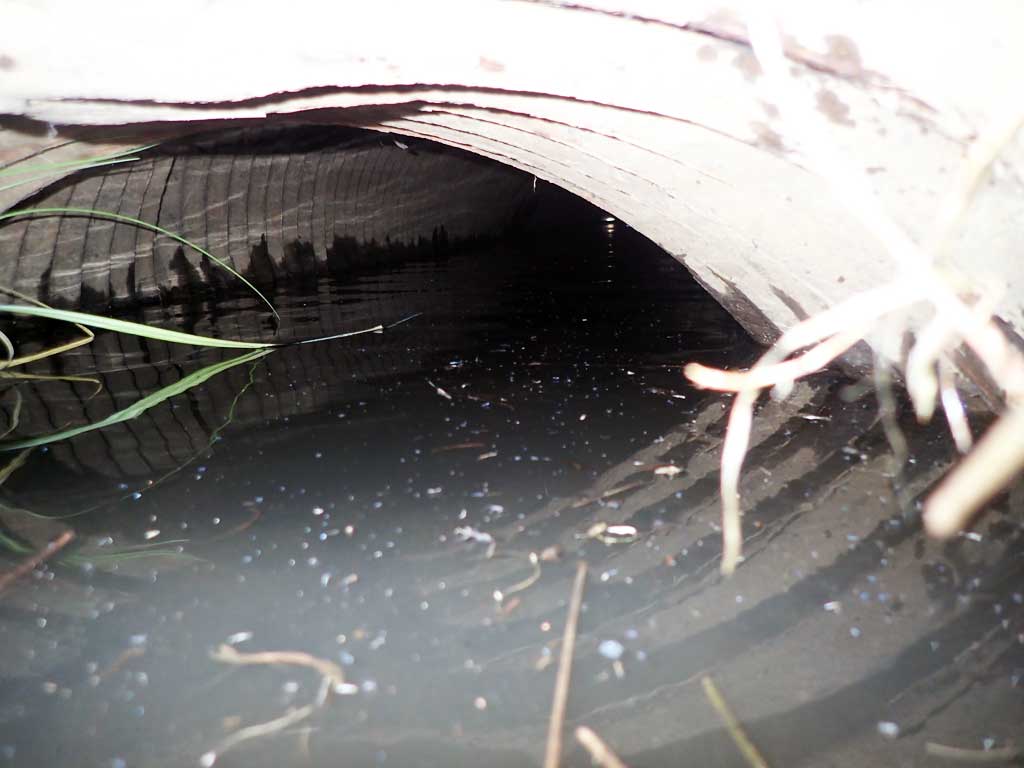
Comments: This information was gathered as part of the joint reconnaissance level project between the ADF&G Habitat Division and the Fish Passage Assessment Project on Adak Island. Due to time constraints full site assessments were not conducted, but base line information was collected. Site is on an unused runway access road on the opposite side of the active terminal. Creek is part of the airport drainage system and parallels Sweeper Creek. It is separated by a large earthen dike that runs the length of the drainage area. Site C99, Sweeper Creek is only a few hundred feet away down the road. Water surface fairly flat through culvert, but only one 4 foot culvert found at site. Airport drainage pump station downstream.
Culvert Measurements
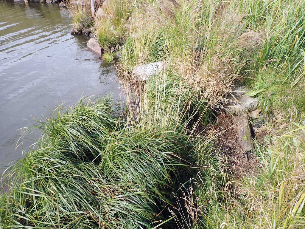
| ID: 1 | Structure Type: Circular pipe (Corrugated steel) | Fish Passage Rating: | |||||||||||||||||||||||||||||||||||||||||
|
|
|
|||||||||||||||||||||||||||||||||||||||||
Comments: Water surface looks flat through culvert, only one culvert found for site, but no discernable flow. |
|||||||||||||||||||||||||||||||||||||||||||
Stream Measurements
|
|
No stream width data available.
Elevations
No elevation data available.
Fish Sampling Efforts
No fish sampling occurred during this survey.
Fish Observations
No fish observations occurred during this survey.
Photos
Questions or comments about this report can be directed to dfg.dsf.webmaster@alaska.gov