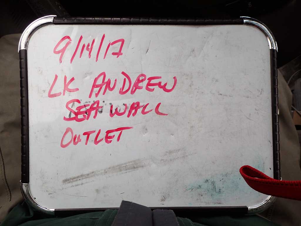
Fish Passage Site 30103616
Coordinates (dec. deg.): 51.95135°, -176.66587°
Legal Description: S095S195W15
Region: Southwest
Road Name: Andrew Lake Road
Datum: NAD83
Quad Name / ITM: Adak C-2
AWC Stream #: 306-50-12000
Stream Name: Andrew Lake Outlet Stream
Elevation:
Site Comments: None
Survey ADAK17-ADR01
Observers: Mark Eisenman, Jeanette Alas
Overall Fish Passage Rating:
Tidal:
Backwatered:
Step Pools:
Construction Year:
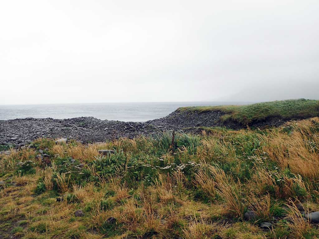
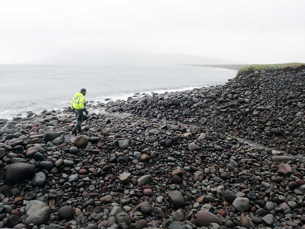
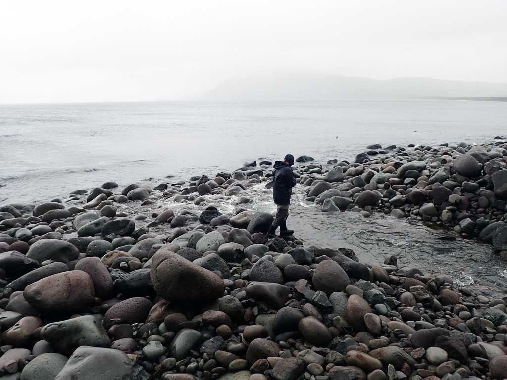
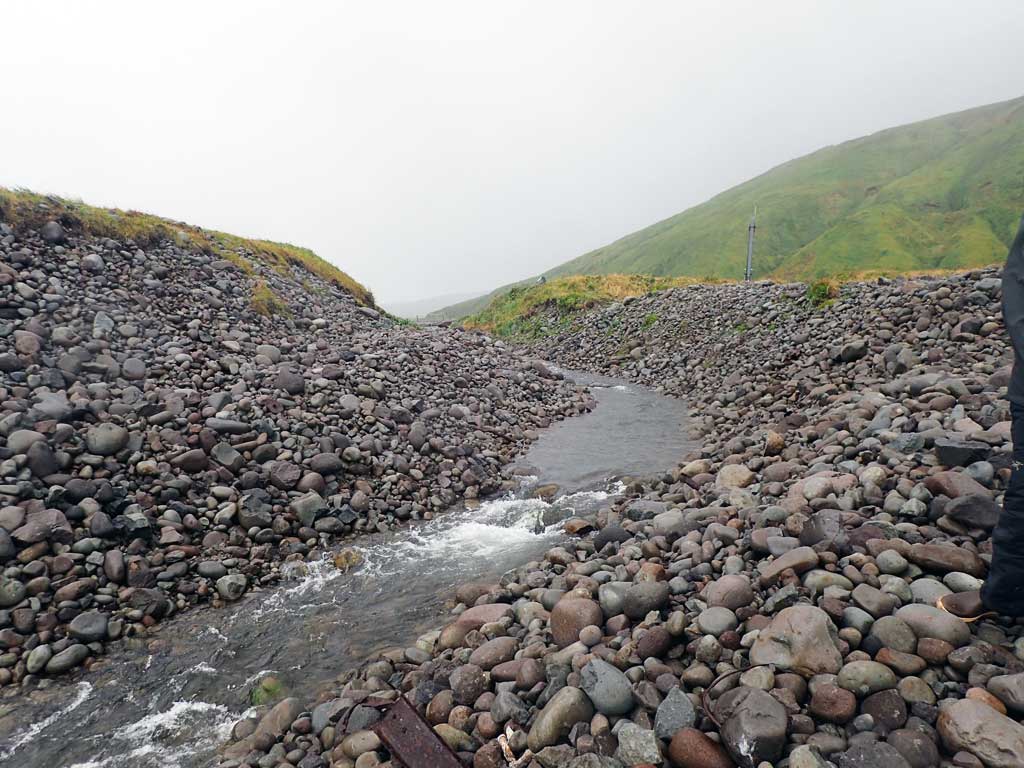
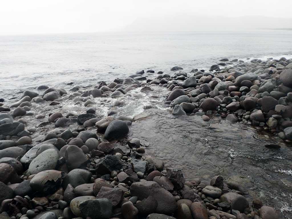
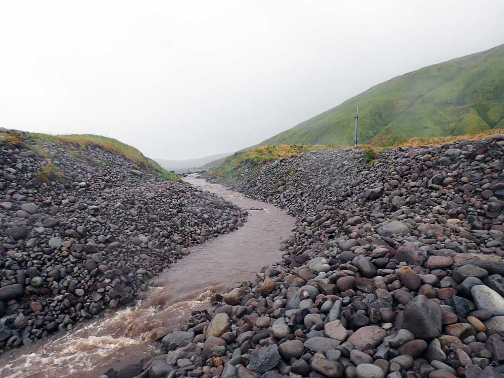
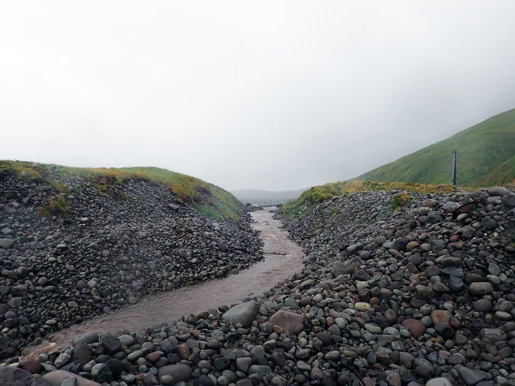
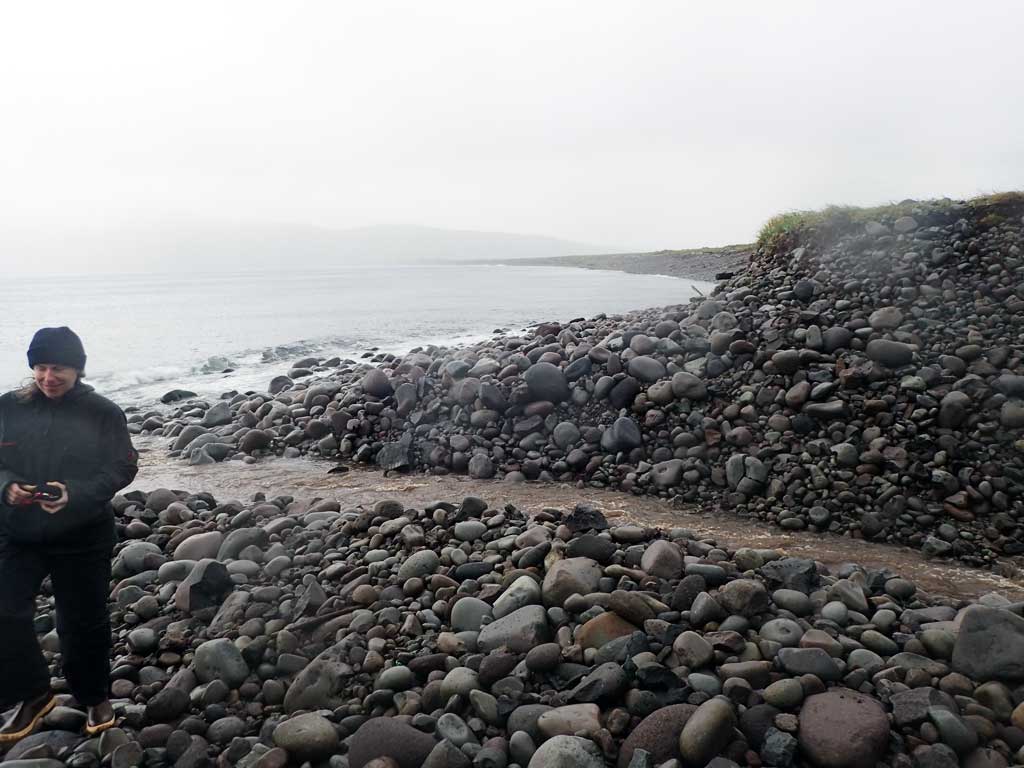
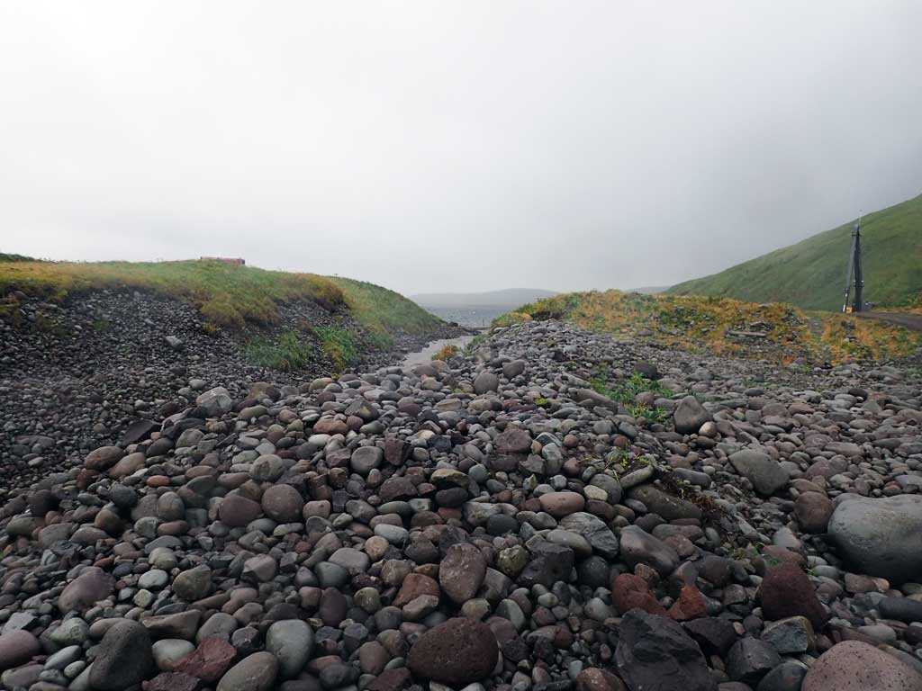
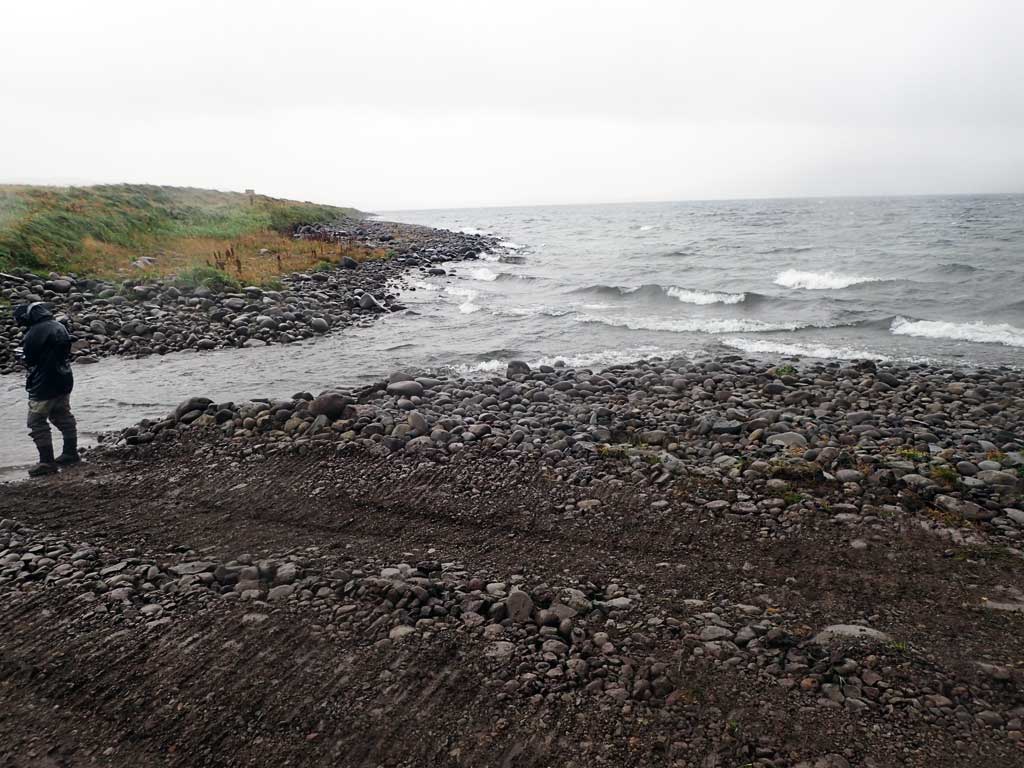
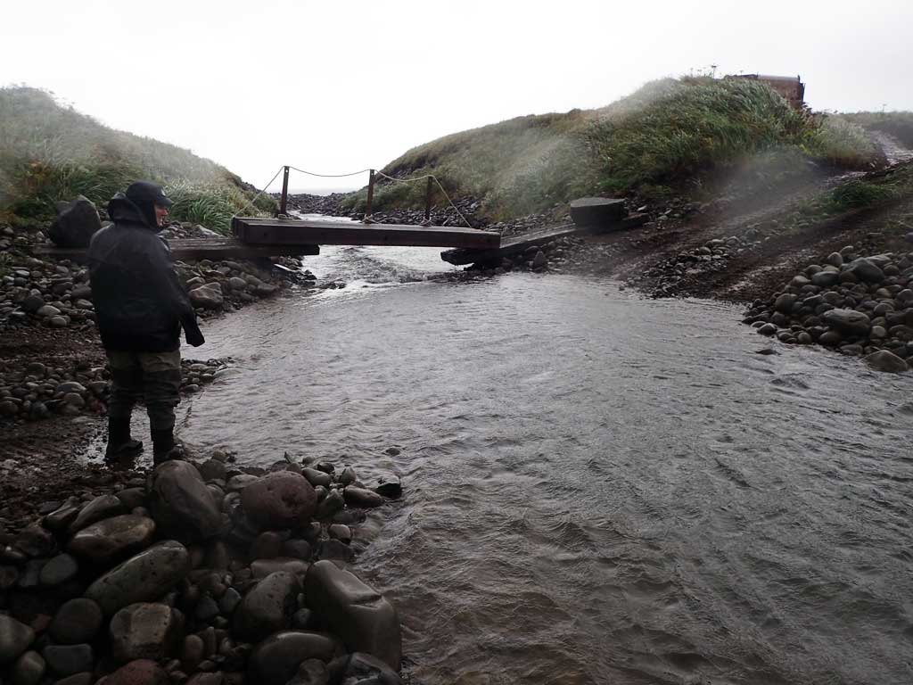
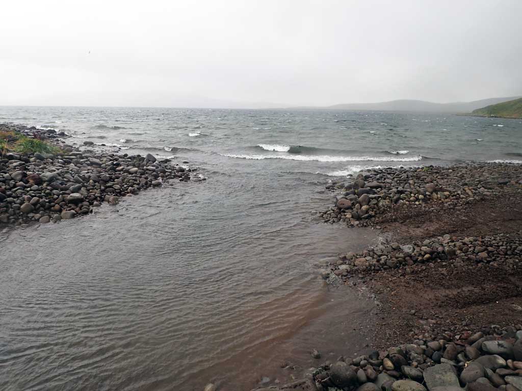
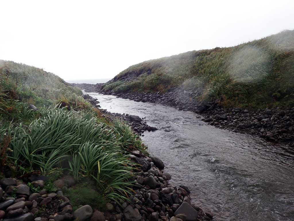
Comments: This information was gathered as part of the joint reconnaissance level project between the ADF&G Habitat Division and the Fish Passage Assessment Project on Adak Island. Due to time constraints full site assessments were not conducted, but base line information was collected. Stream is the artificially created outlet to Andrew Lake. Low water crossing at mouth of lake and a foot bridge. Andrew Lake did not historically have an outlet, but the US Navy used explosives to create a lake outlet to lower lake levels and still maintains the outlet with explosives. Fish observed at confluence with Andrew Bay and in upstream channel.
Culvert Measurements
No measurement data available.
Stream Measurements
|
|
No stream width data available.
Elevations
No elevation data available.
Fish Sampling Efforts
| Gear Type: Visual Observation, Ground (A) | ||
Fish Observations
| Species: adult Pacific salmon-unspecified | Life History: Anadromous | ||
| Total Fish Observed: 10 | Fish Measured: | Fork Lengths (mm) Min: Max: Mean: | |
| Collected/Observed by Gear Type: Downstream Visual Observation, Ground (10) | |||
Photos
Questions or comments about this report can be directed to dfg.dsf.webmaster@alaska.gov