Fish Passage Site 20503780
Coordinates (dec. deg.): 61.52926°, -149.60126°
Legal Description: S017N002W26
Region: South Central
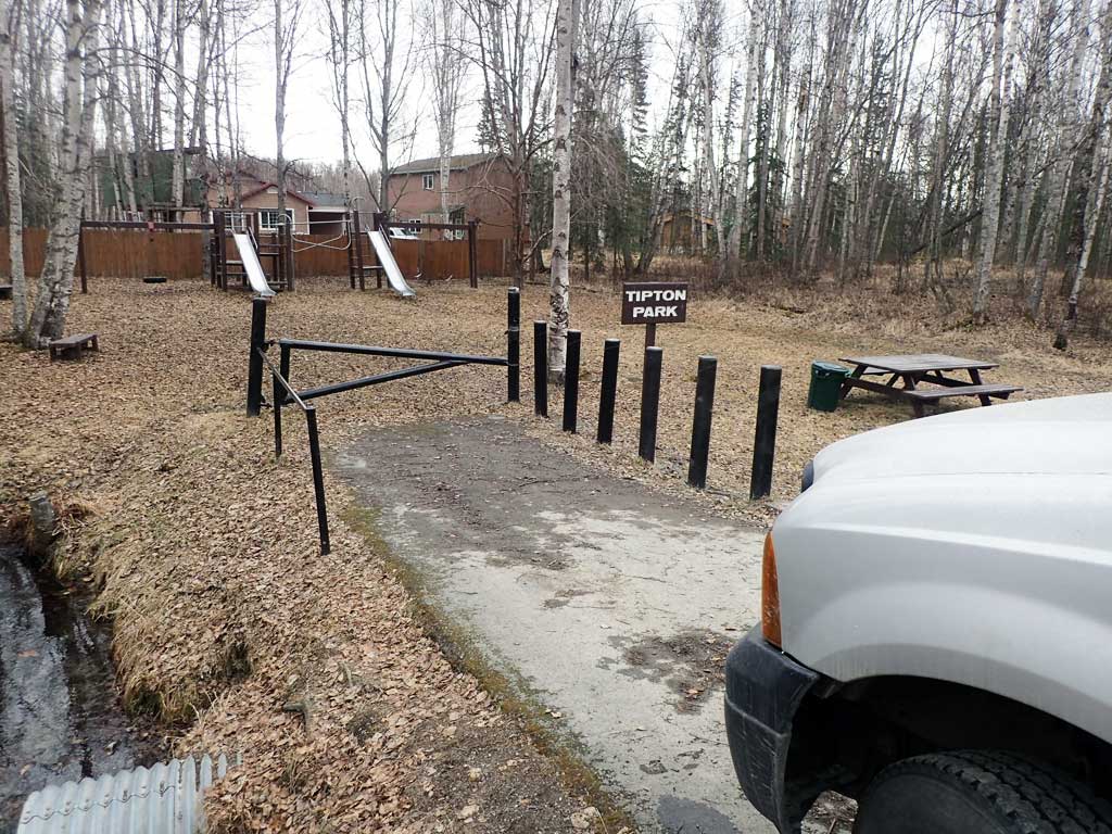
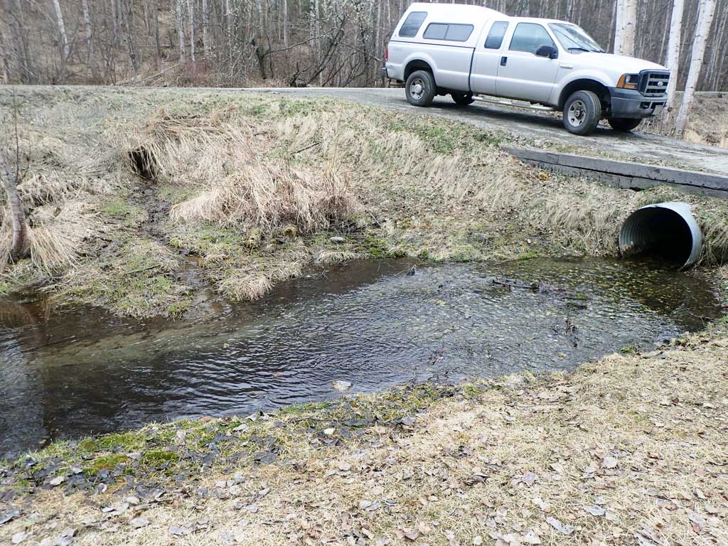
Road Name: W Birch Harbor Dr
Datum: NAD83
Quad Name / ITM: Anchorage C-7
AWC Stream #: 247-50-10305
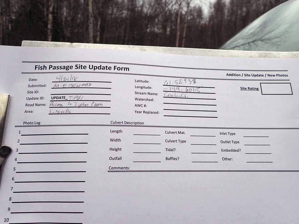
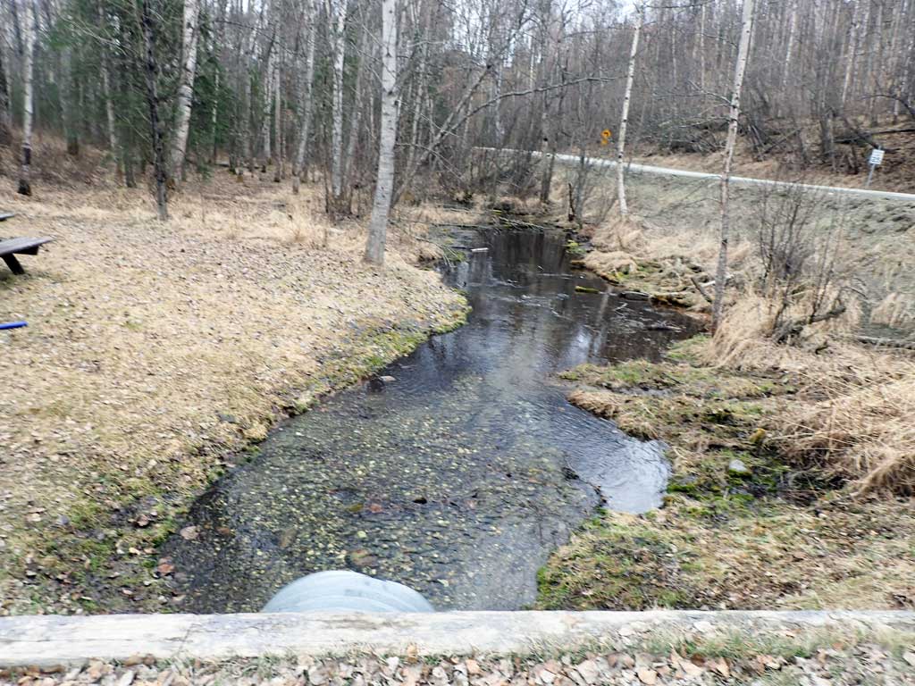
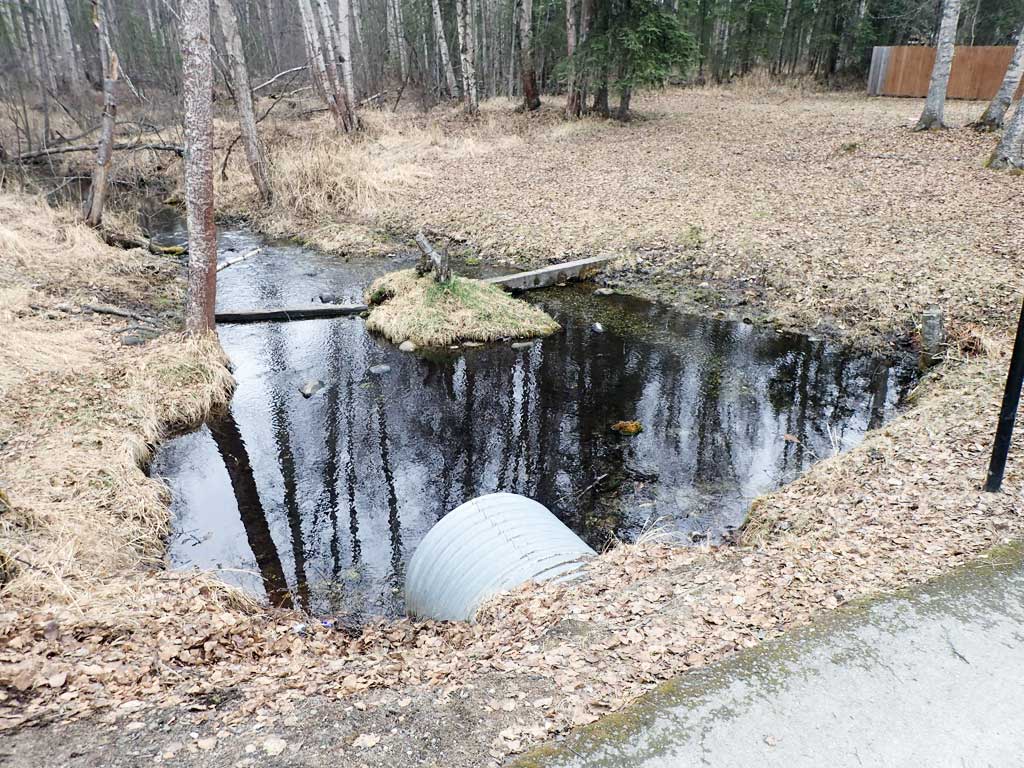
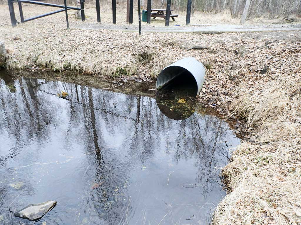
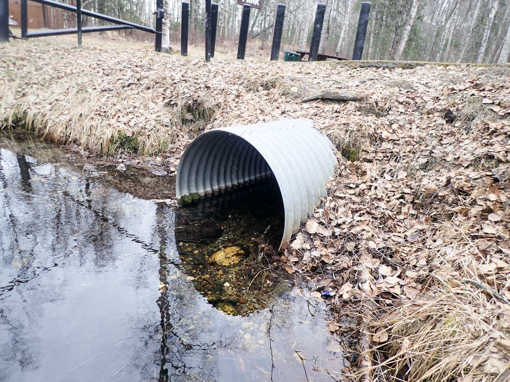
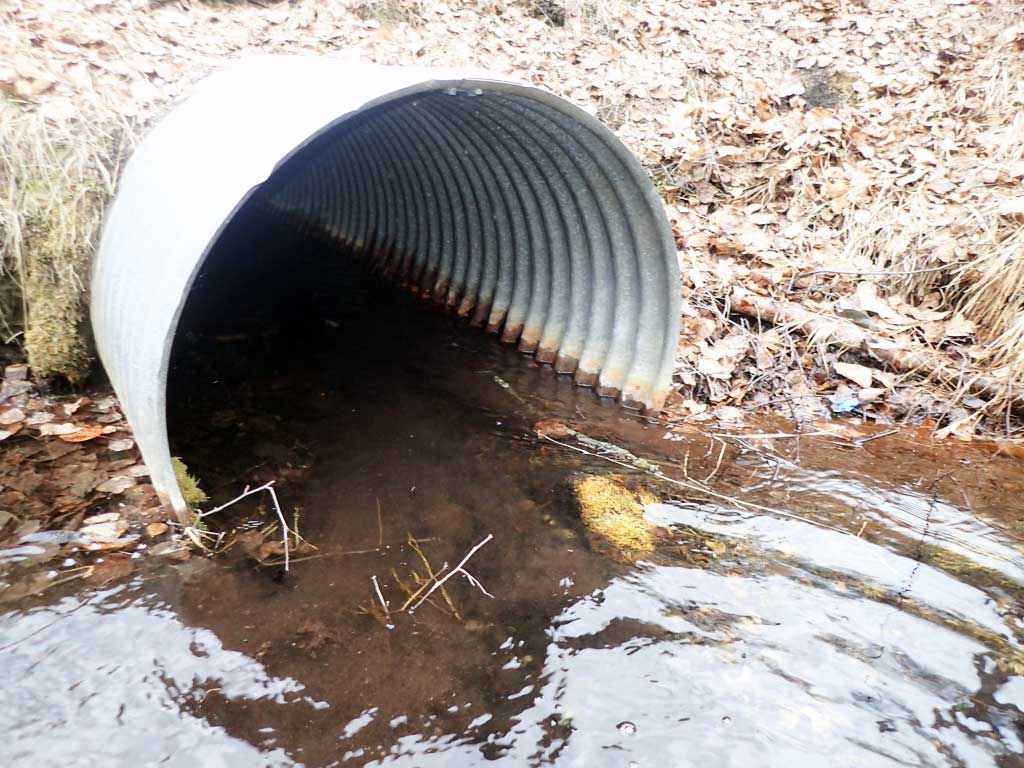
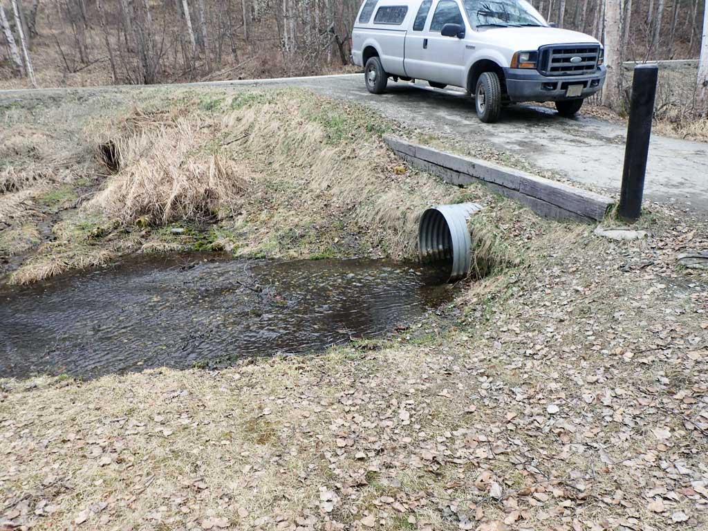
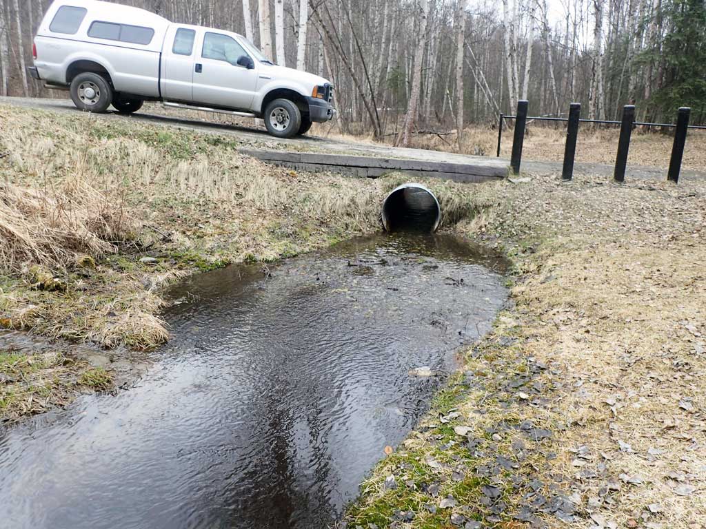
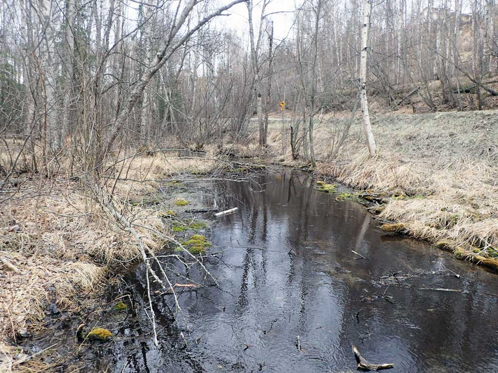
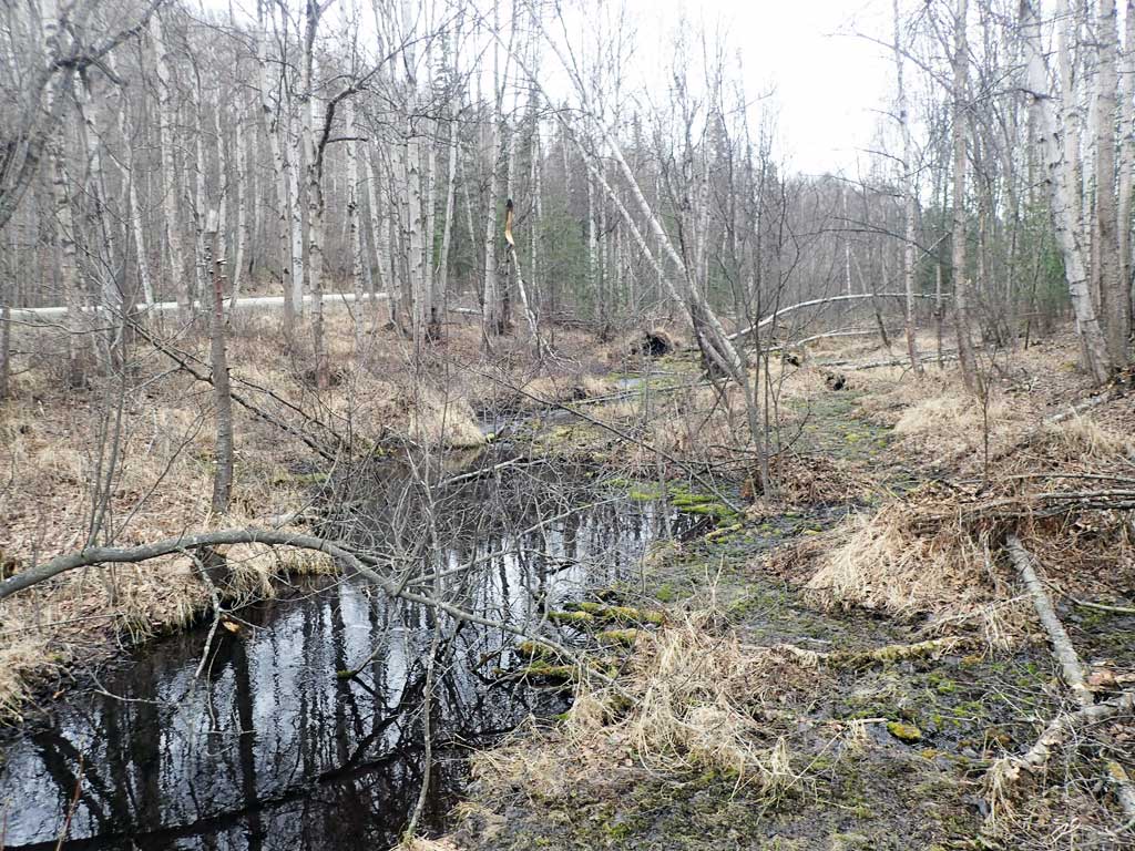
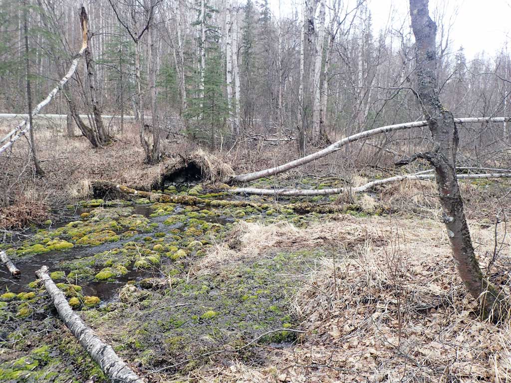
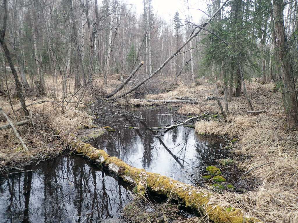
Stream Name: Crocker Creek
Elevation:
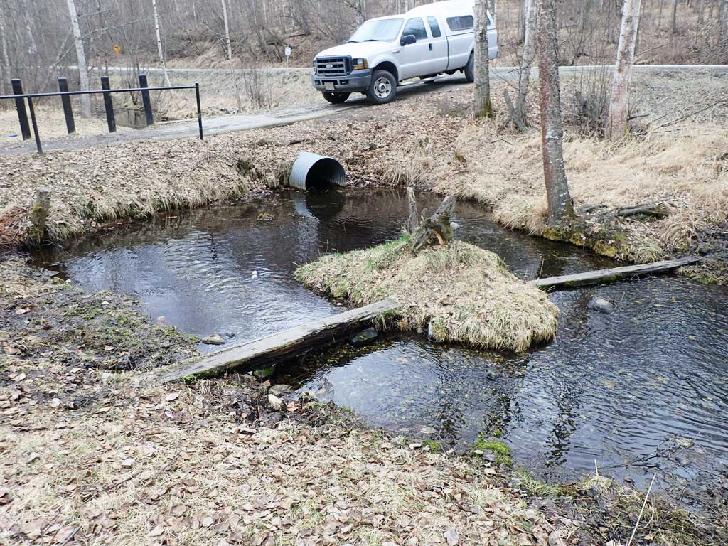
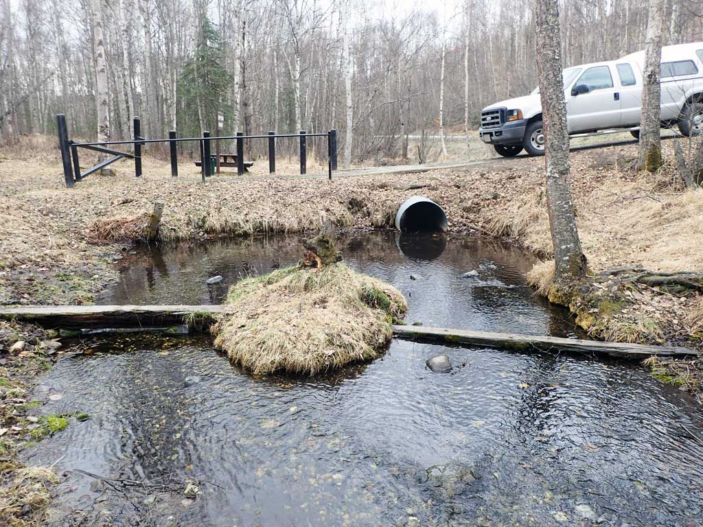
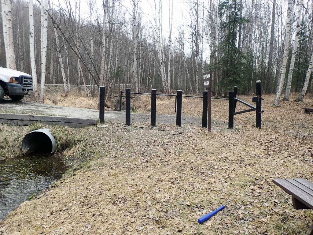
Site Comments: Tipton Park Access
arrow to the right of the survey date below to choose a different report for this site.
Survey UPDATE-TIP01
Project Supervisor: Gillian O'Doherty, ADFG
Observers: Mark Eisenman
Overall Fish Passage Rating:
Tidal: No
Backwatered: No
Step Pools: No
Construction Year:
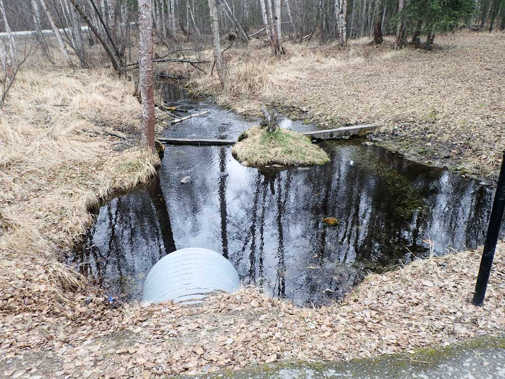
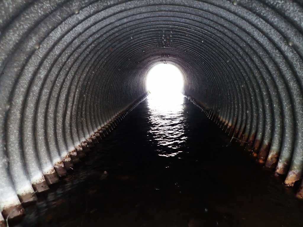
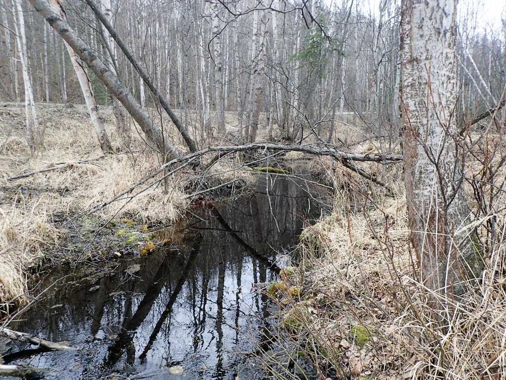
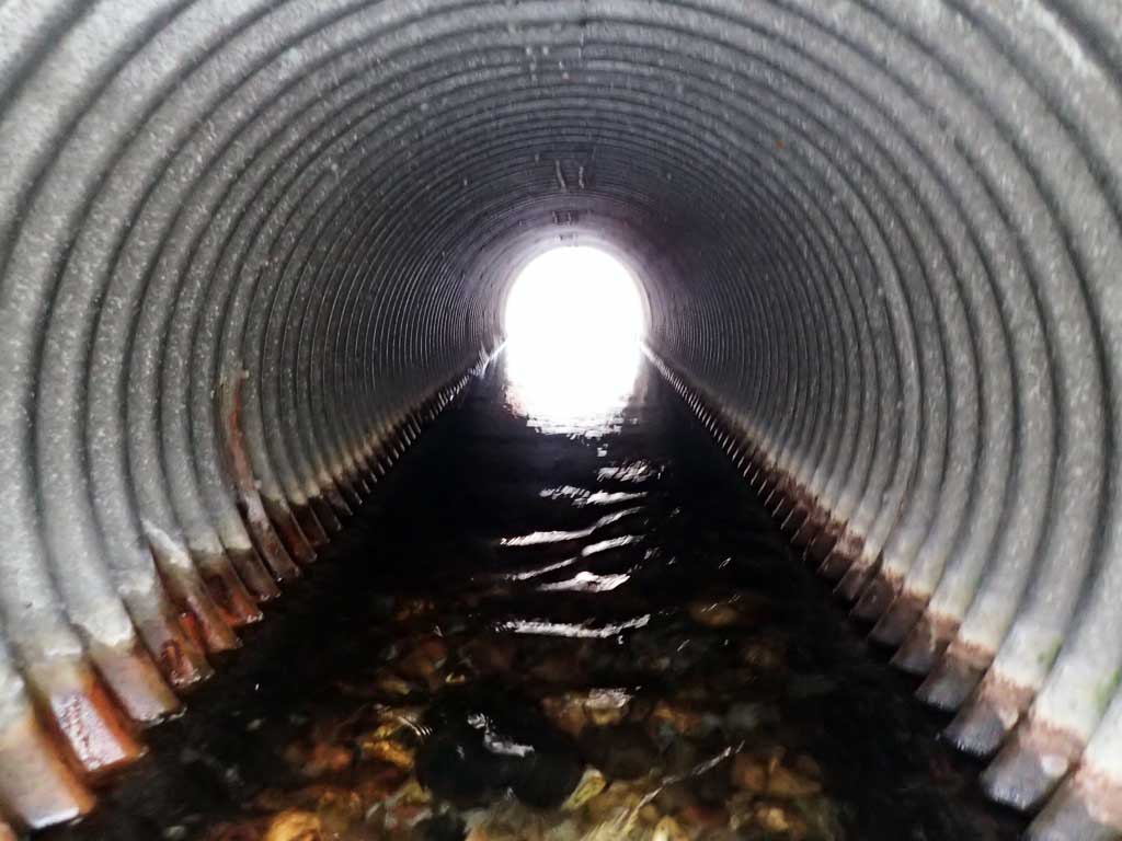
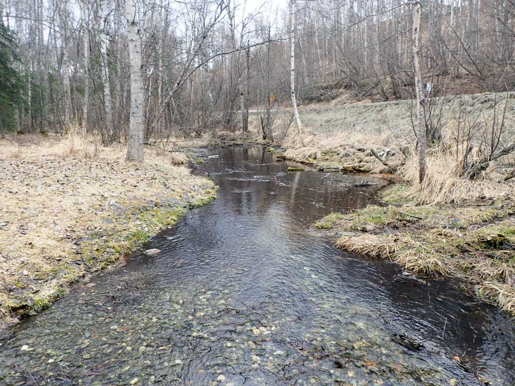
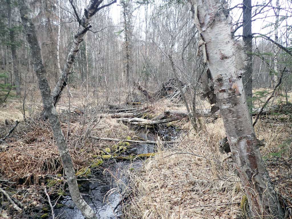
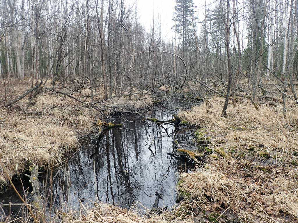
Comments: Site visit to take photos and get baseline information. This culvert was not included in the 2009-11 MSB Project. Site still needs full assessment. Culvert looks undersized for creek but rust line and moss accumulation show this site does not take much more water. Headwaters for creek about a half mile upstream. Upstream looks fairly shallow, but there are a few pools. A visit in the summer should be attempted to see if this section of the creek goes dry and to trap for fish presence. Currently the creek is cataloged to this crossing, but anadromy likely extends farther upstream. Creek also appears to be over widened upstream and downstream from the culvert due to human activity.
Culvert Measurements
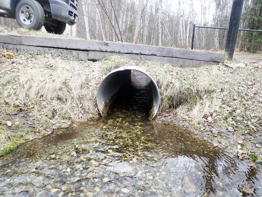
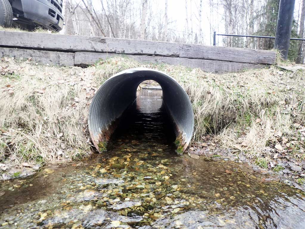
| ID: 1 | Structure Type: Circular pipe (Corrugated steel) | Fish Passage Rating: | |||||||||||||||||||||||||||||||||||||||||
|
|
|
|||||||||||||||||||||||||||||||||||||||||
Comments: Culvert length estimated using GIS at 19.5 ft. There is some gravel at the inverts. Stream riffles out of outlet and then is flat downstream. Cuvert measured. |
|||||||||||||||||||||||||||||||||||||||||||
Stream Measurements
|
|
No stream width data available.
Elevations
No elevation data available.
Fish Sampling Efforts
No fish sampling occurred during this survey.
Fish Observations
No fish observations occurred during this survey.
Photos
Questions or comments about this report can be directed to dfg.dsf.webmaster@alaska.gov

