Fish Passage Site 20501444
Coordinates (dec. deg.): 61.59164°, -149.66653°
Legal Description: S017N002W05
Region: South Central
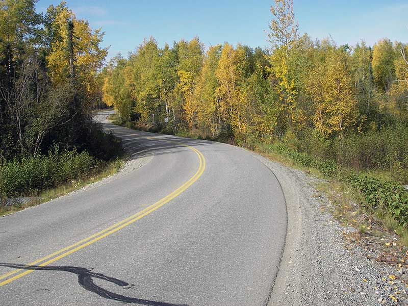
Road Name: Meadow Lakes Loop Road
Datum: NAD83
Quad Name / ITM: Anchorage C-8
AWC Stream #: 247-50-10330-2050-3050-4027
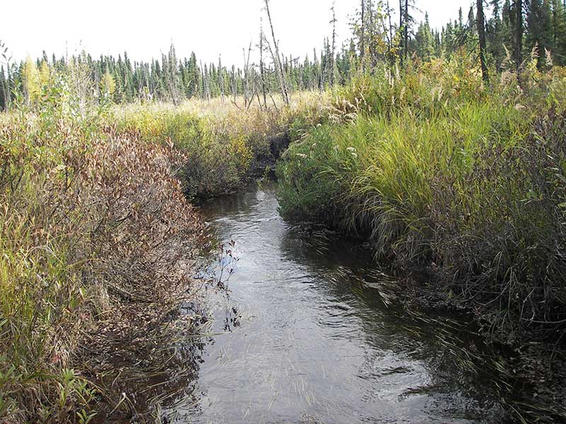
Stream Name: Unnamed
Elevation:
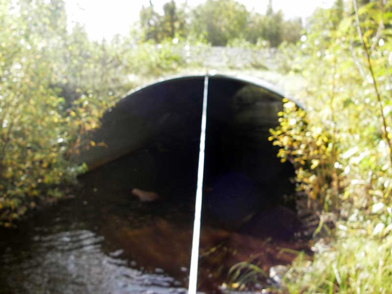
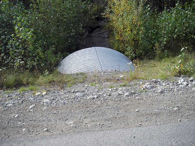
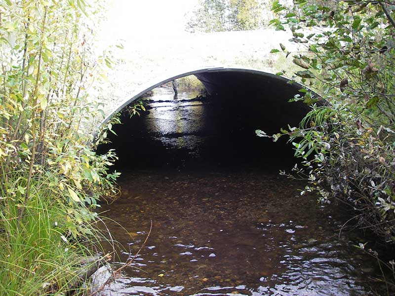
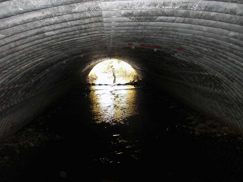
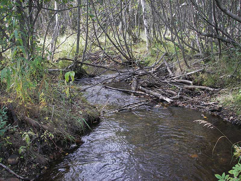
Site Comments: Little Meadow Creek Tributary. NEW CULVERT in 2004
arrow to the right of the survey date below to choose a different report for this site.
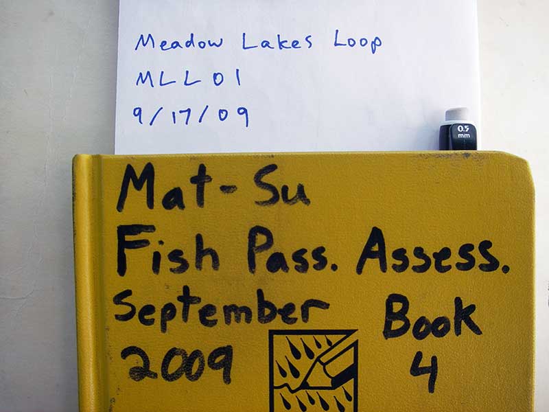
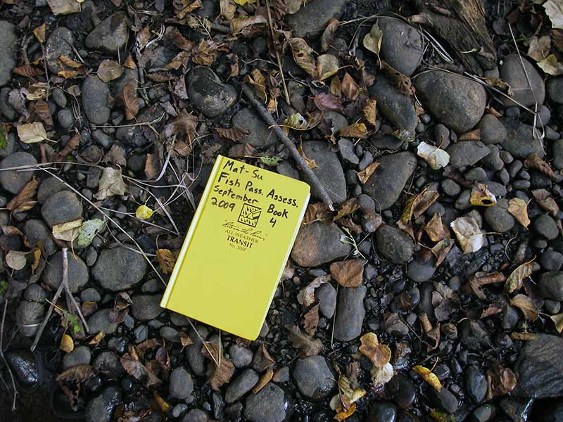
Survey MSB09-MLL01
Project Supervisor: Gillian O'Doherty, ADFG
Observers: Gillian O'Doherty, Ben Histand
Overall Fish Passage Rating:
Tidal: No
Backwatered: No
Step Pools: No
Construction Year: 2004
Site Observations:
- None of this type
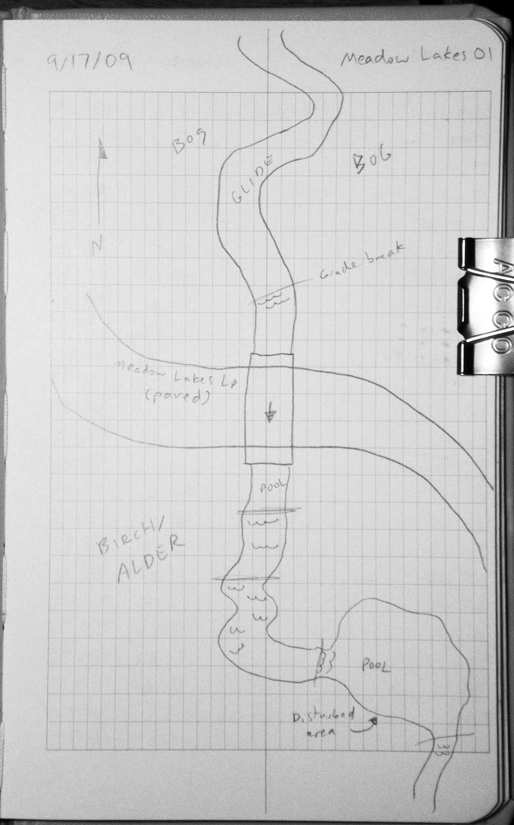
Comments: Post-replacement survey of MSB04ML032; Many coho carcasses in culvert, u/s, and d/s; U/S slope is 0.16%.
Culvert Measurements
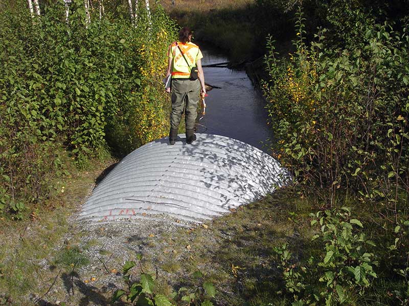
| ID: 1 | Structure Type: Open-bottom arch (Structural steel plate) | Fish Passage Rating: | |||||||||||||||||||||||||||||||||||||||||
|
|
|
|||||||||||||||||||||||||||||||||||||||||
Comments: U/S stream gradient is 0.160% flattens near pipe. Slope calc'd from top of pipe. Water surface slope through pipe is 0.39% |
|||||||||||||||||||||||||||||||||||||||||||
Culvert Observations:
|
|||||||||||||||||||||||||||||||||||||||||||
Stream Measurements
|
|
| Stream Width Type | Distance From Crossing (ft) |
Stream Width (ft) |
|---|---|---|
| Upstream ordinary high water | 43.0 | 9.00 |
| Upstream ordinary high water | 65.0 | 11.00 |
| Upstream ordinary high water | 105.0 | 9.60 |
Elevations
| Locator ID | Culvert Number |
River Distance (ft)1 |
Distance From Crossing (ft)2 |
Relative Elevation (ft) |
|---|---|---|---|---|
| Outlet Pool Water Elev | 1 | 94.64 | ||
| U/S Headwater | 1 | 94.91 | ||
| D/S Grade Ctrl (Thalweg) | 1 | 0.00 | 16.0 | 94.39 |
| D/S Water Surface Elev (@GP) | 1 | 0.00 | 16.0 | 94.55 |
| D/S Grade Ctrl (Thalweg) | 1 | 4.00 | 12.0 | 94.33 |
| D/S Water Surface Elev (@GP) | 1 | 4.00 | 12.0 | 94.60 |
| Outlet Invert | 1 | 16.00 | 0.0 | 94.22 |
| Outlet Culvert Top (Top of pipe @ outlet (use for slope)) | 1 | 16.00 | 0.0 | 99.62 |
| Road Elev | 1 | 51.00 | 102.47 | |
| Inlet Culvert Top (Top of pipe @ inlet) | 1 | 86.00 | 0.0 | 99.88 |
| Inlet Culvert Invert | 1 | 86.00 | 0.0 | 94.25 |
| U/S Grade Ctrl (Thalweg) | 1 | 114.00 | 28.0 | 94.55 |
| D/S Water Surface Elev (@GP) | 1 | 114.00 | 28.0 | 94.91 |
| U/S Water Surface Elev (@Pro) | 1 | 136.00 | 50.0 | 94.93 |
| U/S Thalweg | 1 | 136.00 | 50.0 | 94.40 |
| U/S Water Surface Elev (u/s) | 1 | 161.00 | 75.0 | 94.95 |
| U/S Water Surface Elev (u/s) | 1 | 186.00 | 100.0 | 94.95 |
| U/S Water Surface Elev (u/s) | 1 | 211.00 | 125.0 | 95.01 |
| U/S Water Surface Elev (u/s) | 1 | 228.00 | 142.0 | 95.08 |
| U/S Water Surface Elev (u/s) | 1 | 241.00 | 155.0 | 95.12 |
| U/S Water Surface Elev (u/s) | 1 | 276.00 | 190.0 | 95.17 |
Notes:
- River distance is measured continuously throughout the survey reach along the thalweg of the stream.
- Measured from each end of the crossing along the thalweg of the stream.
Fish Sampling Efforts
| Gear Type: Visual Observation, Ground (A) | ||
| Comments: 3-4 adult coho seen swimming through culvert. Many carcasses seen in culvert and upstream and downstream. | ||
Fish Observations
| Species: adult coho salmon | Life History: Anadromous | ||
| Total Fish Observed: 4 | Fish Measured: | Fork Lengths (mm) Min: Max: Mean: | |
| Collected/Observed by Gear Type: At Site Visual Observation, Ground (4) | |||
Photos
Questions or comments about this report can be directed to dfg.dsf.webmaster@alaska.gov