Fish Passage Site 20501252
Coordinates (dec. deg.): 61.76332°, -149.48238°
Legal Description: S019N001W05
Region: South Central
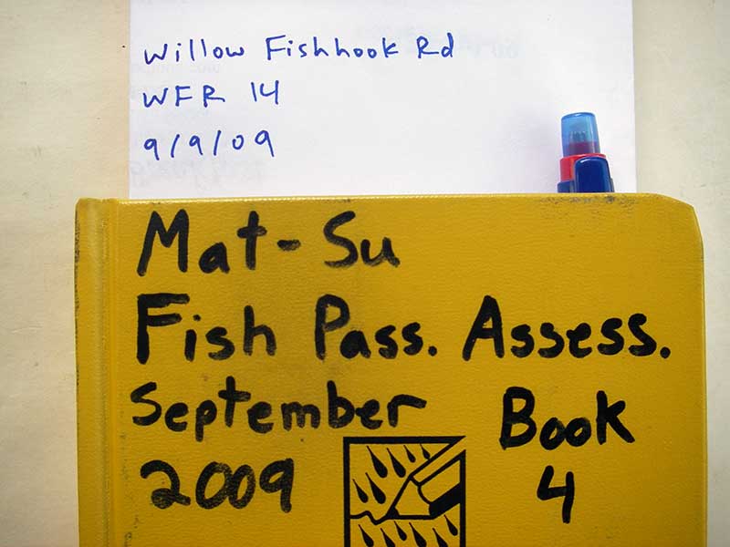
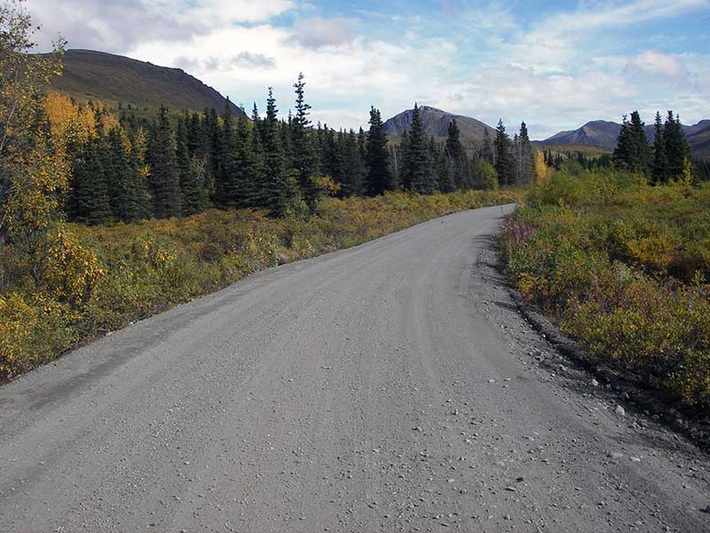
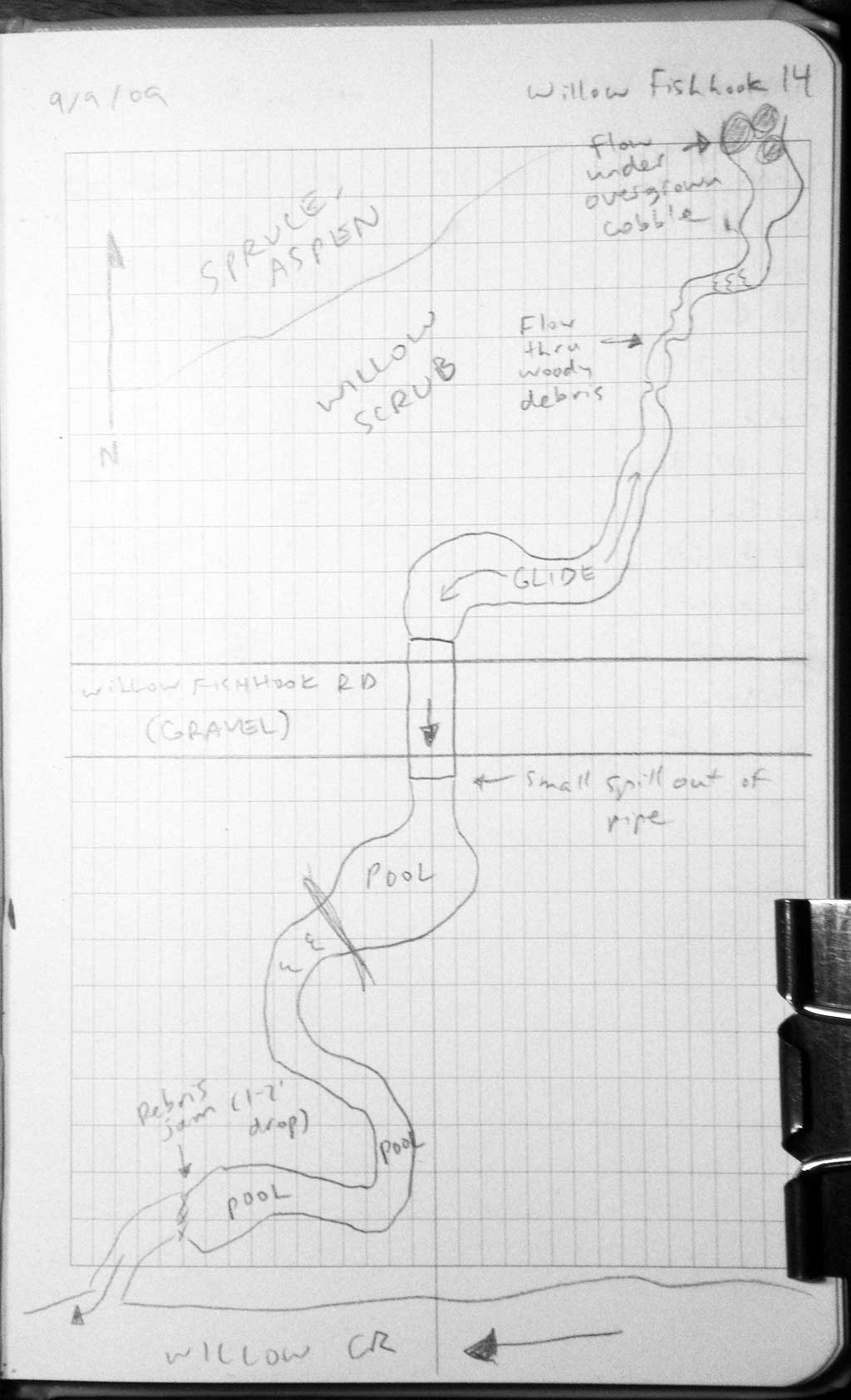
Road Name: Willow Fishhook Road
Datum: WGS84
Quad Name / ITM: Anchorage D-7
AWC Stream #:
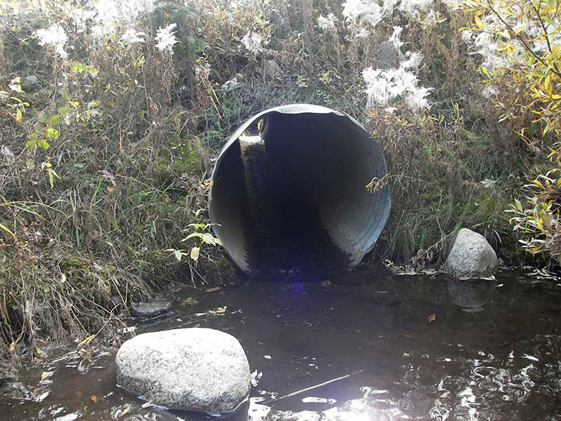
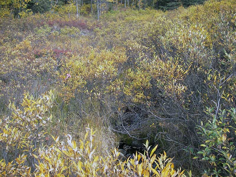
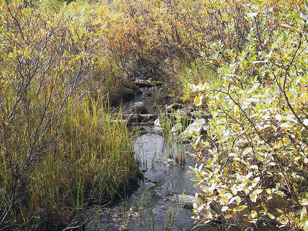
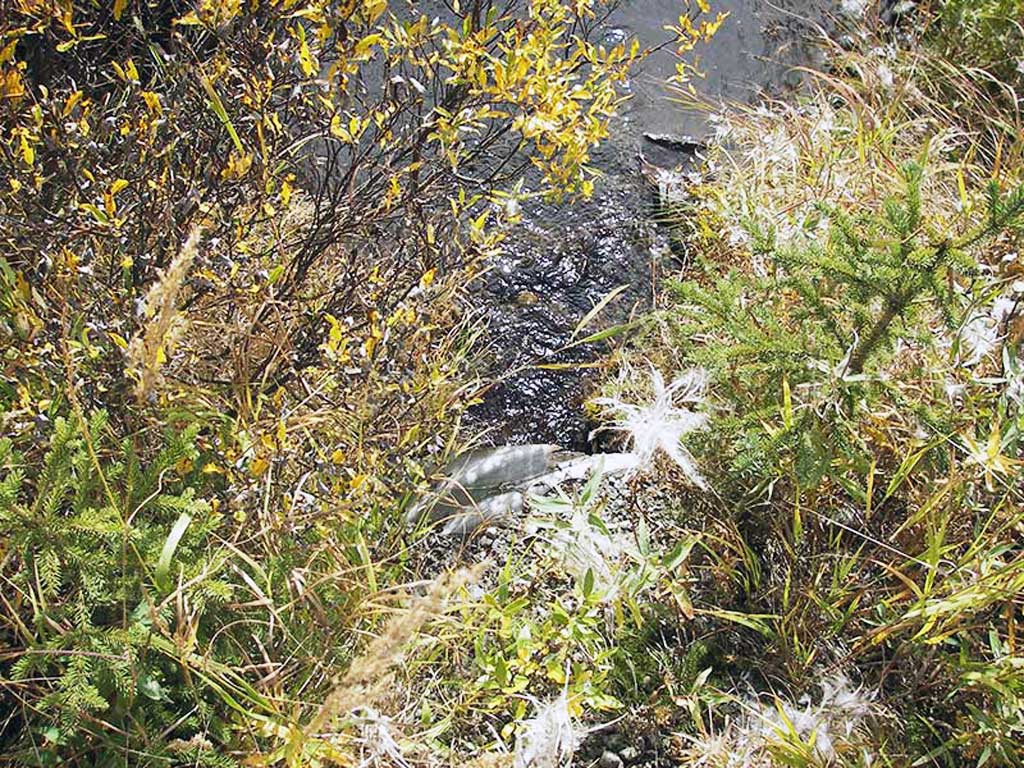
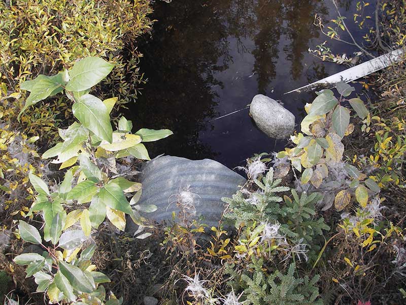
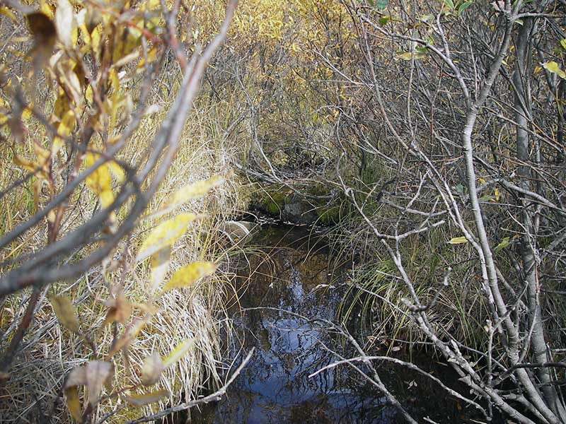
Stream Name: Willow Creek tributary
Elevation:
Site Comments: None
Survey MSB09-WFR14
Project Supervisor: Gillian O'Doherty, ADFG
Observers: Heidi Zimmer, Ben Histand
Overall Fish Passage Rating:
Tidal: No
Backwatered: No
Step Pools: No
Construction Year:
Site Observations:
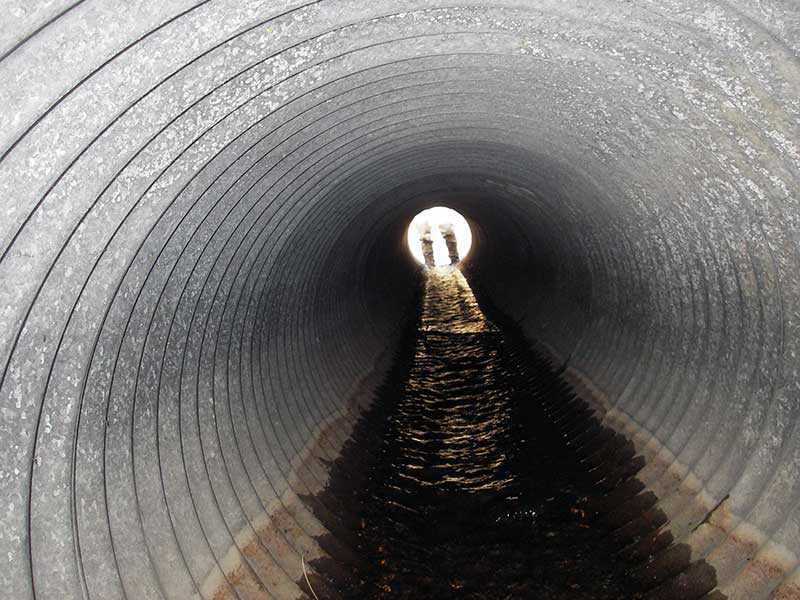
- Culvert gradient red
- Outfall height gray
- Constriction ratio gray
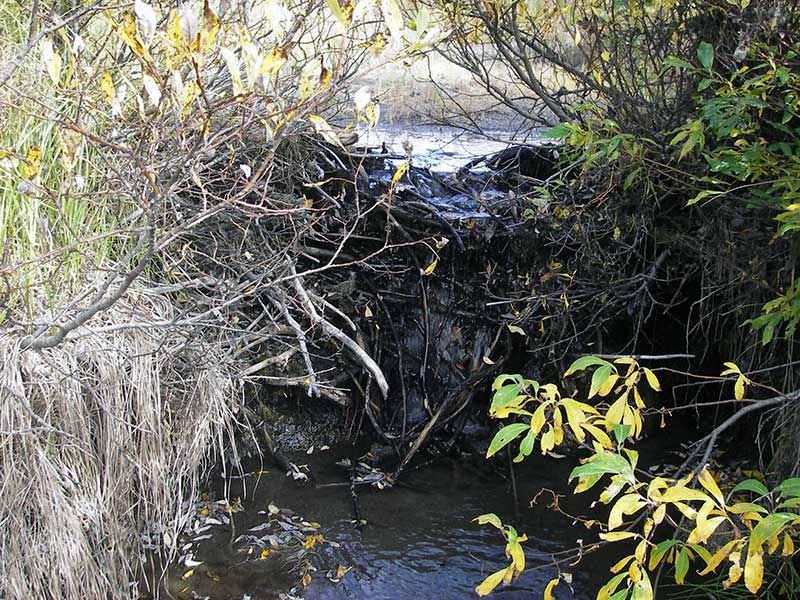
- Shallow fill; inadequate roadfill volume above culvert
Comments: Unmapped stream; DV caught u/s.
Culvert Measurements
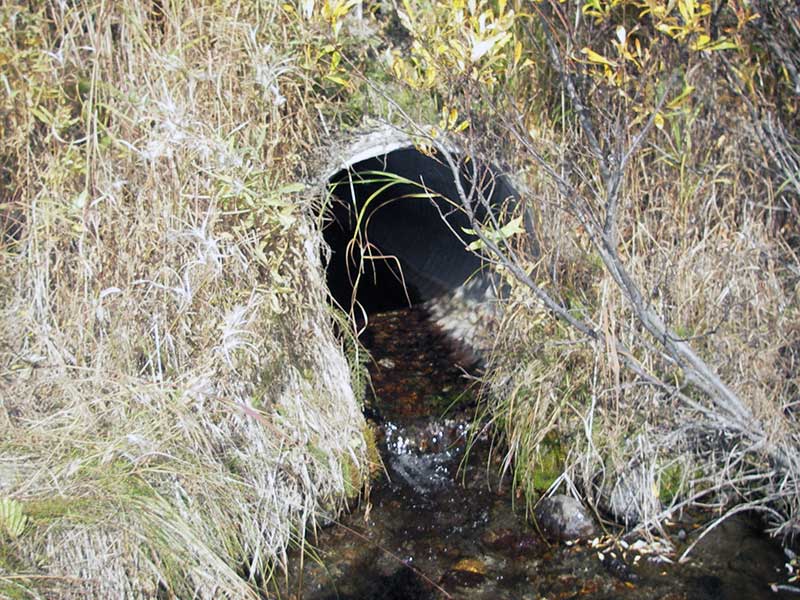
| ID: 1 | Structure Type: Circular pipe (Corrugated steel) | Fish Passage Rating: | |||||||||||||||||||||||||||||||||||||||||
|
|
|
|||||||||||||||||||||||||||||||||||||||||
Culvert Observations:
|
|||||||||||||||||||||||||||||||||||||||||||
Stream Measurements
|
|
| Stream Width Type | Distance From Crossing (ft) |
Stream Width (ft) |
|---|---|---|
| Upstream ordinary high water | 50.0 | 3.50 |
| Upstream ordinary high water | 90.0 | 3.00 |
| Upstream ordinary high water | 115.0 | 3.00 |
Elevations
| Locator ID | Culvert Number |
River Distance (ft)1 |
Distance From Crossing (ft)2 |
Relative Elevation (ft) |
|---|---|---|---|---|
| Outlet Pool Water Elev | 1 | 96.92 | ||
| U/S Headwater (pool immed. u/s of inlet) | 1 | 98.11 | ||
| D/S Grade Ctrl (Thalweg) | 1 | 0.00 | 12.0 | 96.73 |
| D/S Water Surface Elev (@GP) | 1 | 0.00 | 12.0 | 96.92 |
| D/S Tailcrest or 1st Thalweg | 1 | 9.50 | 2.5 | 96.79 |
| D/S Water Surface Elev (@TWC) | 1 | 9.50 | 2.5 | 96.91 |
| D/S Thalweg (pool bottom) | 1 | 10.50 | 1.5 | 96.57 |
| Outlet Invert | 1 | 12.00 | 0.0 | 97.07 |
| Road Elev | 1 | 27.00 | 101.48 | |
| Inlet Culvert Invert | 1 | 42.50 | 0.0 | 97.94 |
Notes:
- River distance is measured continuously throughout the survey reach along the thalweg of the stream.
- Measured from each end of the crossing along the thalweg of the stream.
Fish Sampling Efforts
| Gear Type: Minnow Trap (A) | Trap Duration(h): 1.0 | |
| Comments: 55ft u/s | ||
| Gear Type: Minnow Trap (B) | Trap Duration(h): 1.0 | |
| Comments: no fish caught; 130ft d/s, in Willow Creek | ||
Fish Observations
| Species: juvenile Dolly Varden | Life History: Not Recorded | ||
| Total Fish Observed: 1 | Fish Measured: 1 | Fork Lengths (mm) Min: 107 Max: 107 Mean: 107 | |
| Collected/Observed by Gear Type: Upstream Minnow Trap (1) | |||
Photos
Questions or comments about this report can be directed to dfg.dsf.webmaster@alaska.gov