Fish Passage Site 20501251
Coordinates (dec. deg.): 61.76249°, -149.49023°
Legal Description: S019N001W05
Region: South Central
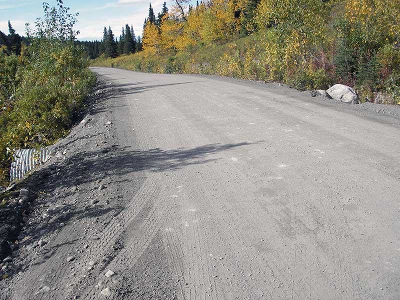
Road Name: Willow Fishhook Road
Datum: WGS84
Quad Name / ITM: Anchorage D-7
AWC Stream #:
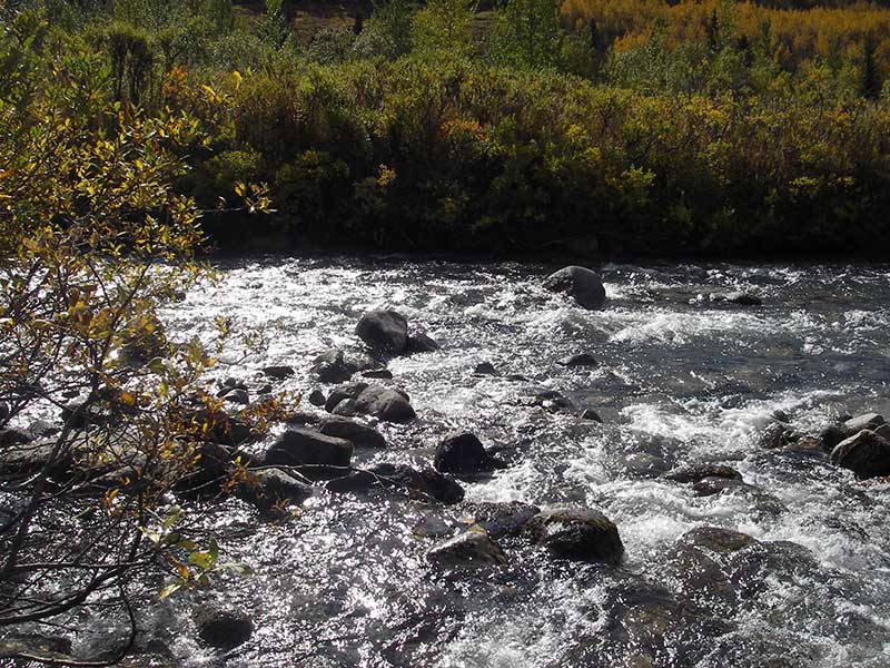
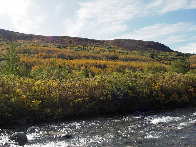
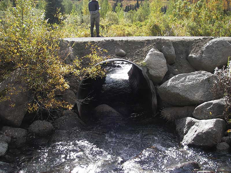
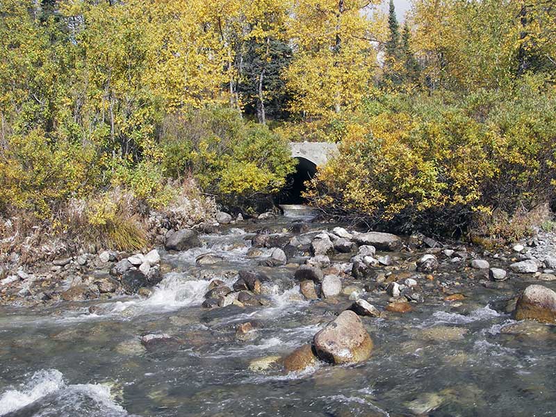
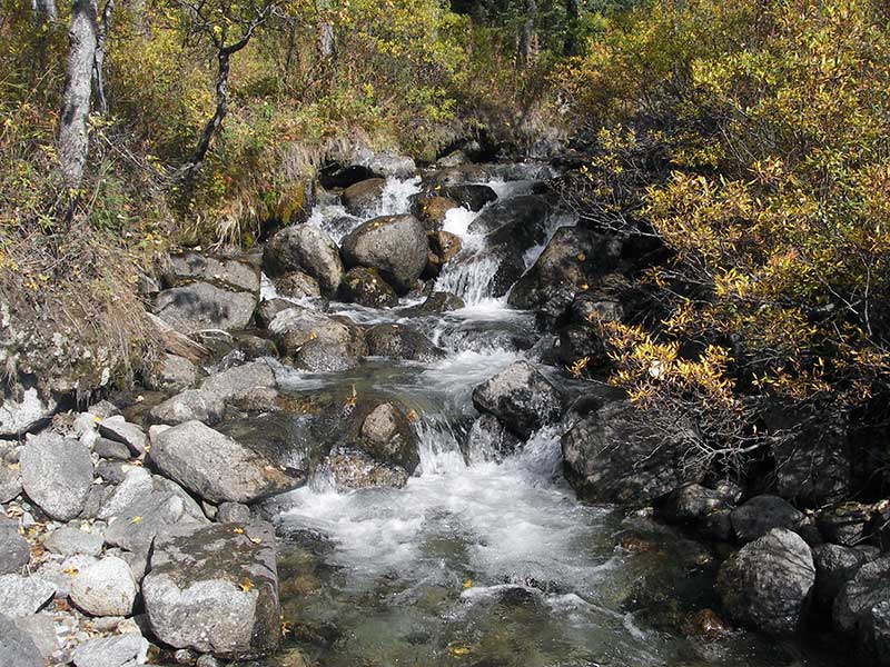
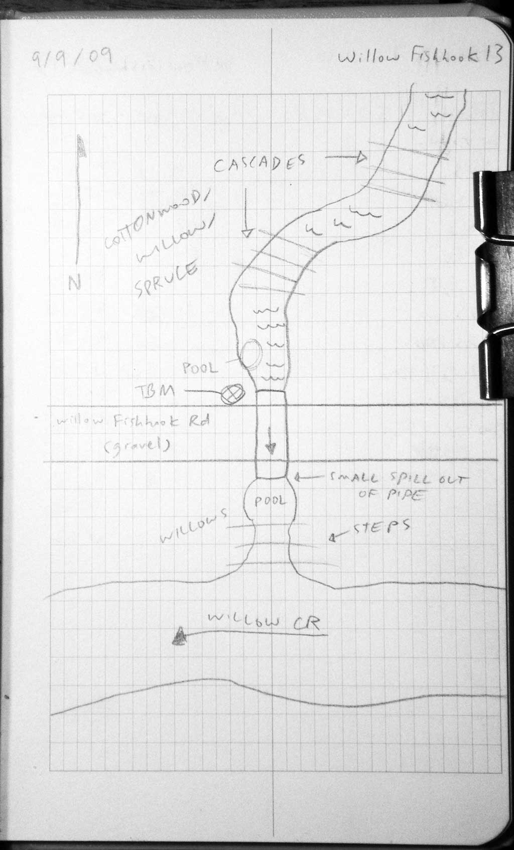
Stream Name: Shorty Creek
Elevation:
Site Comments: None
Survey MSB09-WFR13
Project Supervisor: Gillian O'Doherty, ADFG
Observers: Heidi Zimmer, Ben Histand
Overall Fish Passage Rating:
Tidal: No
Backwatered: No
Step Pools: No
Construction Year:
Site Observations:
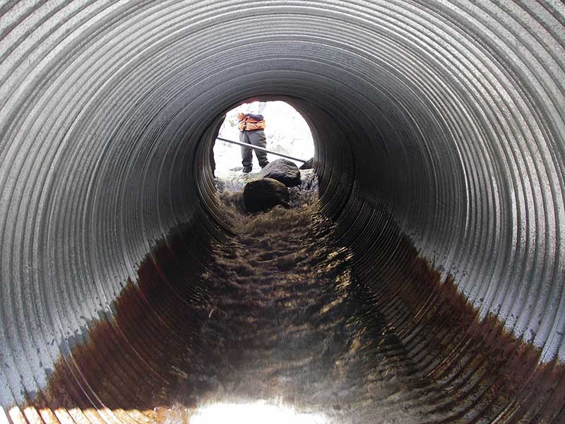
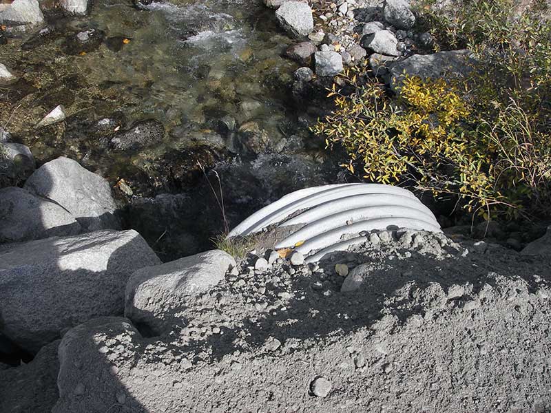
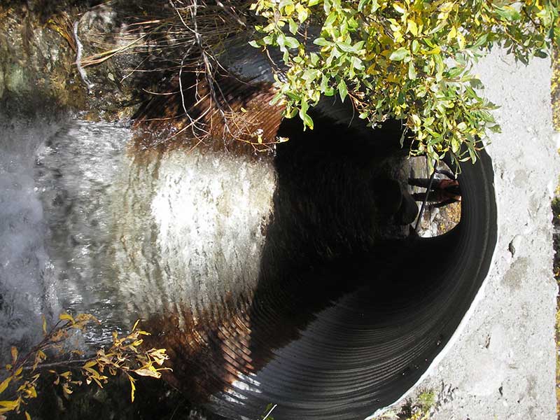
- Constriction ratio red
- Culvert gradient red
- Outfall height red
- Inlet perch
- Compound gradient in pipe
- Shallow fill; inadequate roadfill volume above culvert
Comments: Inlet bent;inlet perch caused by 2 small boulders in inlet; compound gradient also because joint separating.
Culvert Measurements
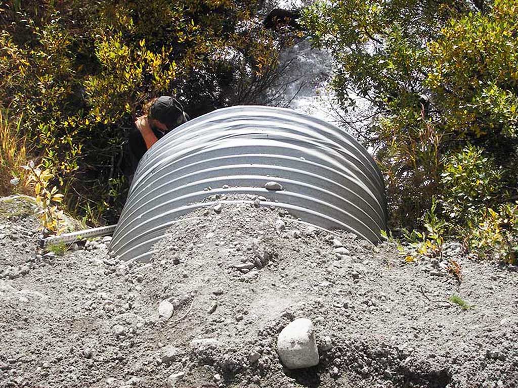
| ID: 1 | Structure Type: Circular pipe (Corrugated steel) | Fish Passage Rating: | |||||||||||||||||||||||||||||||||||||||||
|
|
|
|||||||||||||||||||||||||||||||||||||||||
Culvert Observations:
|
|||||||||||||||||||||||||||||||||||||||||||
Stream Measurements
|
|
| Stream Width Type | Distance From Crossing (ft) |
Stream Width (ft) |
|---|---|---|
| Upstream ordinary high water | 75.0 | 14.00 |
| Upstream ordinary high water | 120.0 | 13.00 |
| Upstream ordinary high water | 150.0 | 13.50 |
Elevations
| Locator ID | Culvert Number |
River Distance (ft)1 |
Distance From Crossing (ft)2 |
Relative Elevation (ft) |
|---|---|---|---|---|
| Outlet Pool Water Elev | 1 | 93.78 | ||
| U/S Headwater | 1 | 96.39 | ||
| D/S Water Surface Elev (@GP) | 1 | 0.00 | 15.0 | 93.61 |
| D/S Grade Ctrl (Thalweg) | 1 | 0.00 | 15.0 | 93.08 |
| D/S Tailcrest or 1st Thalweg | 1 | 5.00 | 10.0 | 93.18 |
| D/S Water Surface Elev (@TWC) | 1 | 5.00 | 10.0 | 93.78 |
| D/S Thalweg (bottom of pool) | 1 | 8.00 | 7.0 | 91.18 |
| D/S Thalweg | 1 | 15.00 | 0.0 | 92.89 |
| Outlet Invert | 1 | 15.00 | 0.0 | 93.78 |
| Road Elev | 1 | 29.50 | 100.84 | |
| Inlet Culvert Invert | 1 | 44.90 | 0.0 | 94.79 |
| U/S Grade Ctrl (Thalweg) | 1 | 51.90 | 7.0 | 95.80 |
| U/S Water Surface Elev (@GP) | 1 | 51.90 | 7.0 | 96.68 |
Notes:
- River distance is measured continuously throughout the survey reach along the thalweg of the stream.
- Measured from each end of the crossing along the thalweg of the stream.
Fish Sampling Efforts
| Gear Type: Minnow Trap (A) | Trap Duration(h): 1.0 | |
| Comments: no fish caught; 60ft u/s | ||
| Gear Type: Minnow Trap (B) | Trap Duration(h): 1.0 | |
| Comments: no fish caught; 50ft d/s, in Willow Creek | ||
Fish Observations
No fish observations occurred during this survey.
Photos
Questions or comments about this report can be directed to dfg.dsf.webmaster@alaska.gov