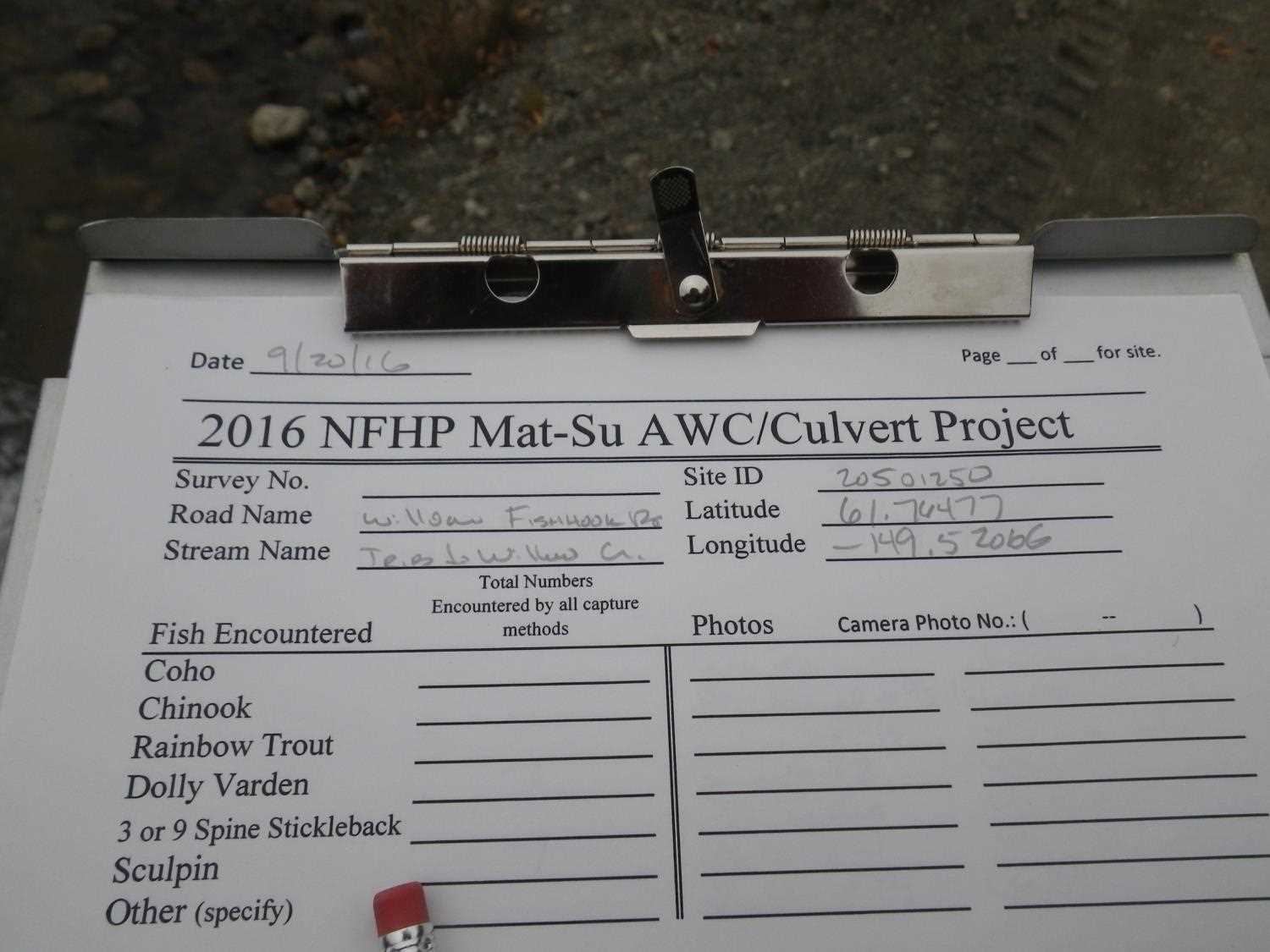
Fish Passage Site 20501250
Coordinates (dec. deg.): 61.76476°, -149.52072°
Legal Description: S019N001W06
Region: South Central
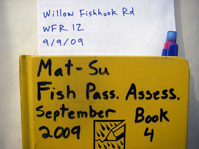
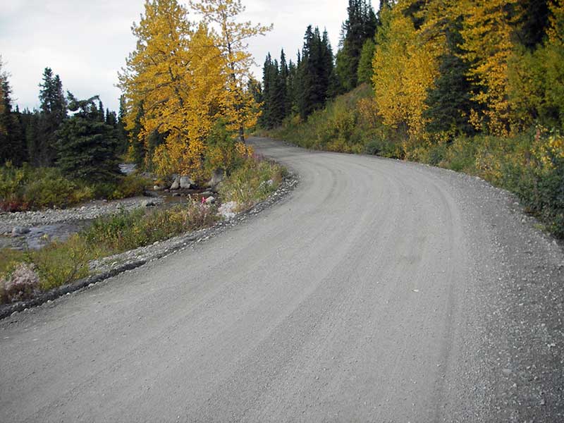
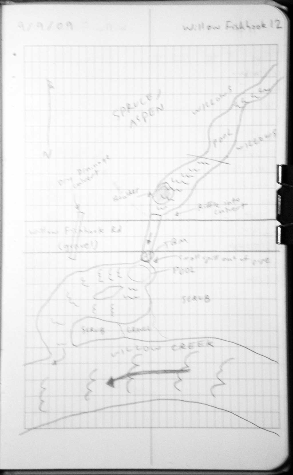
Road Name: Willow Fishhook Road
Datum: WGS84
Quad Name / ITM: Anchorage D-7
AWC Stream #:
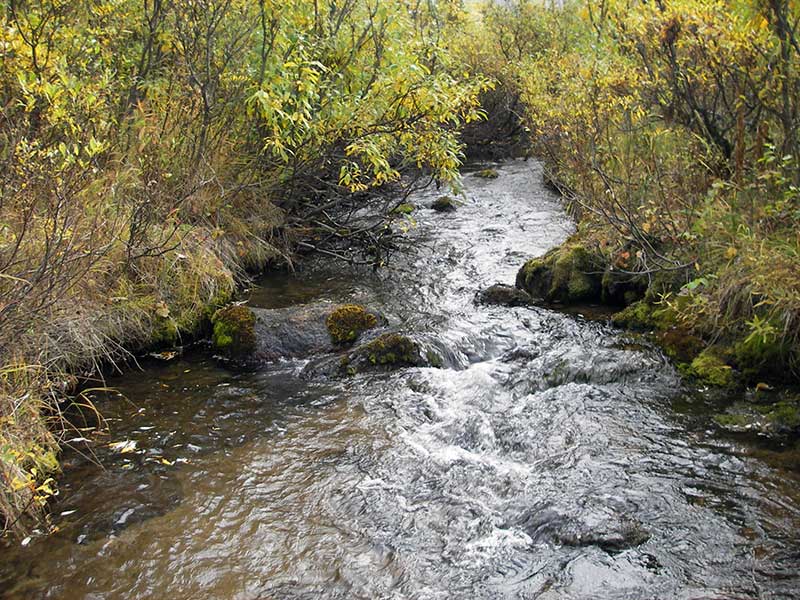
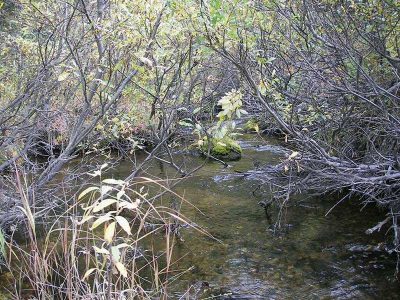
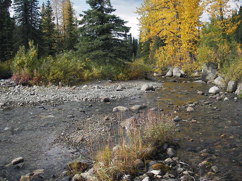
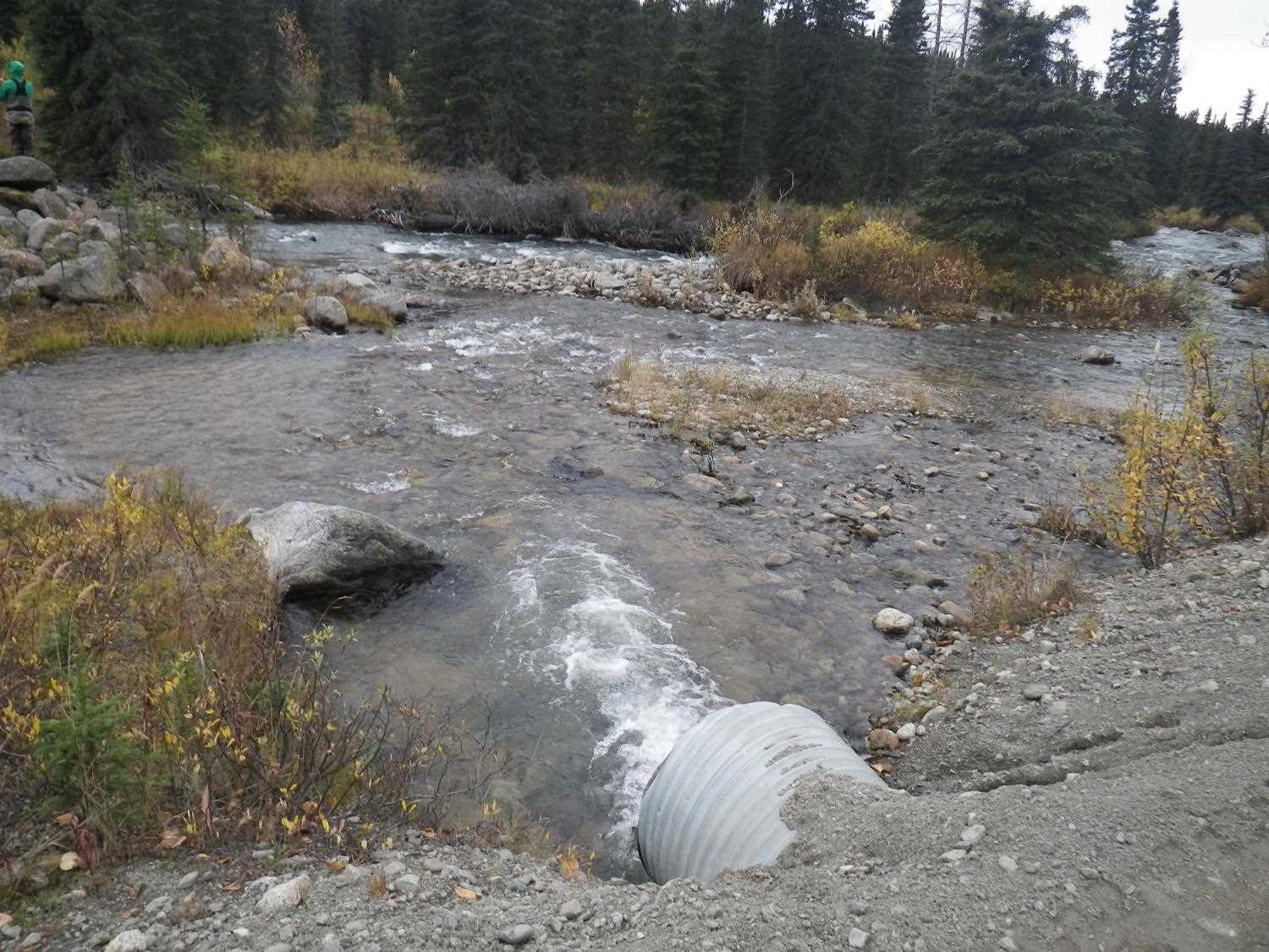
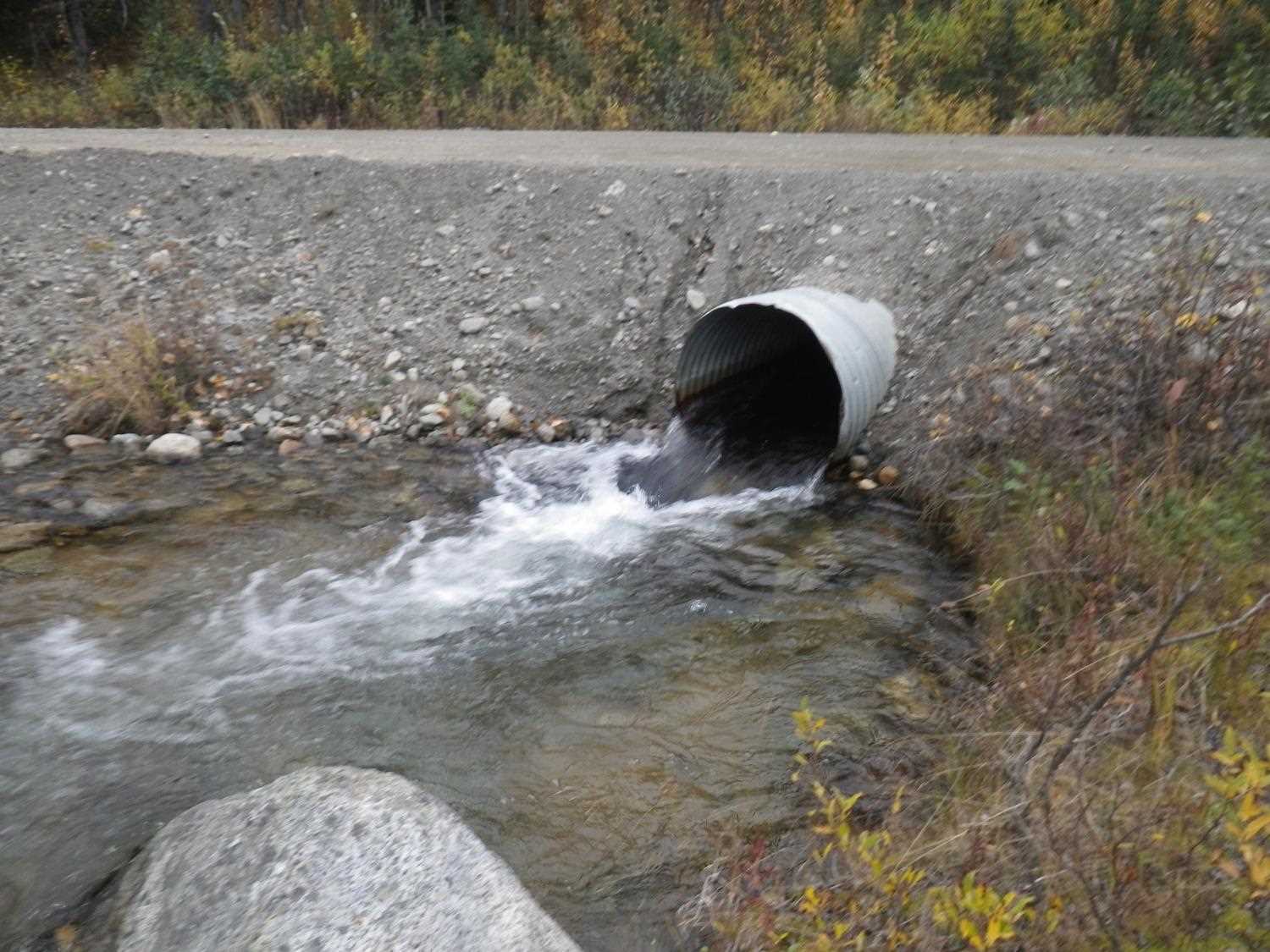
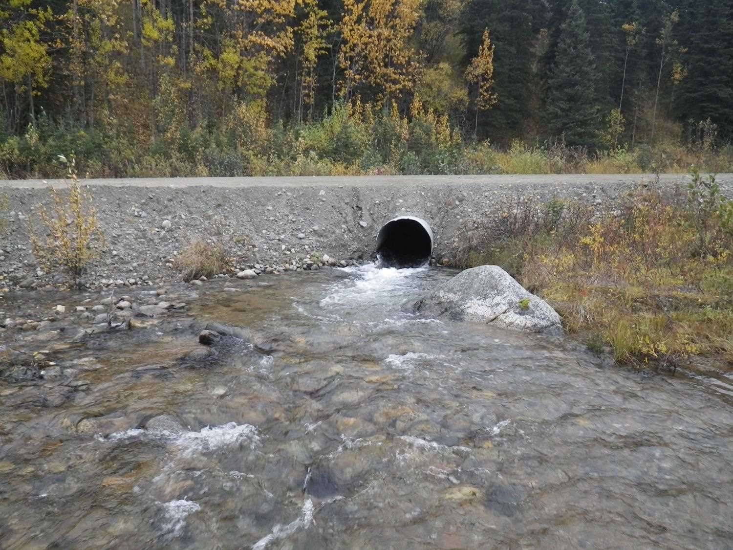
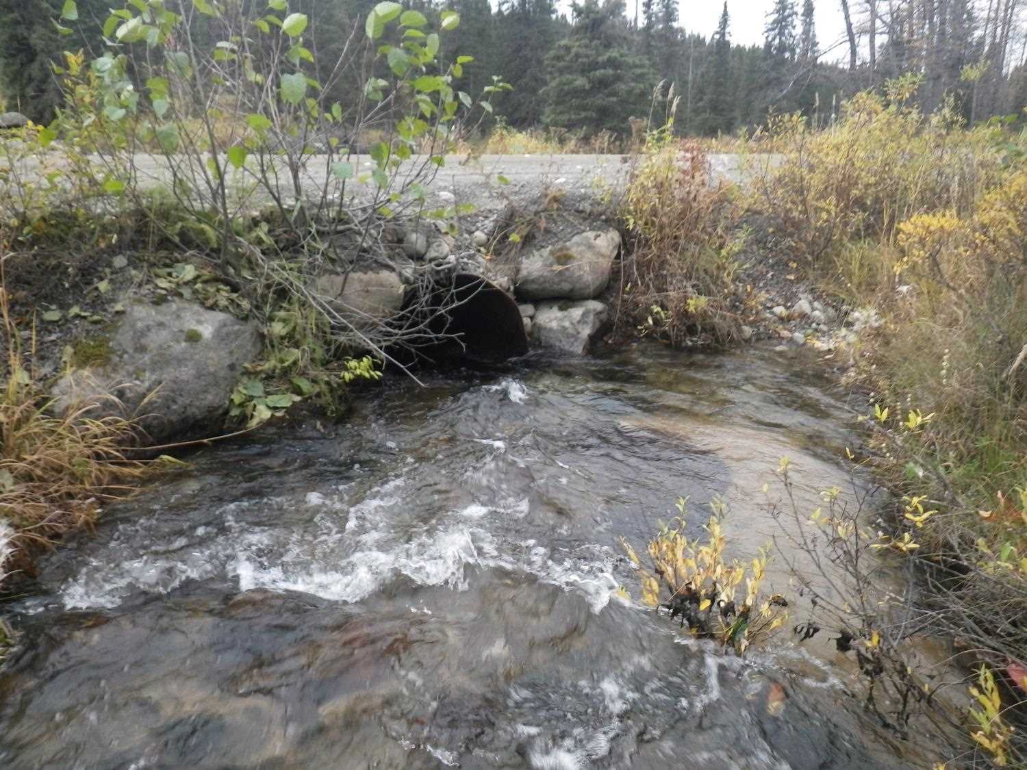
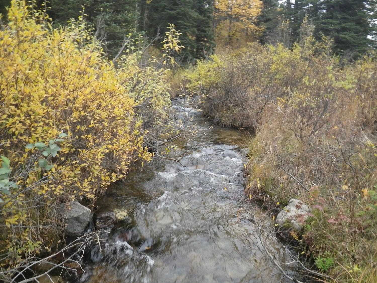
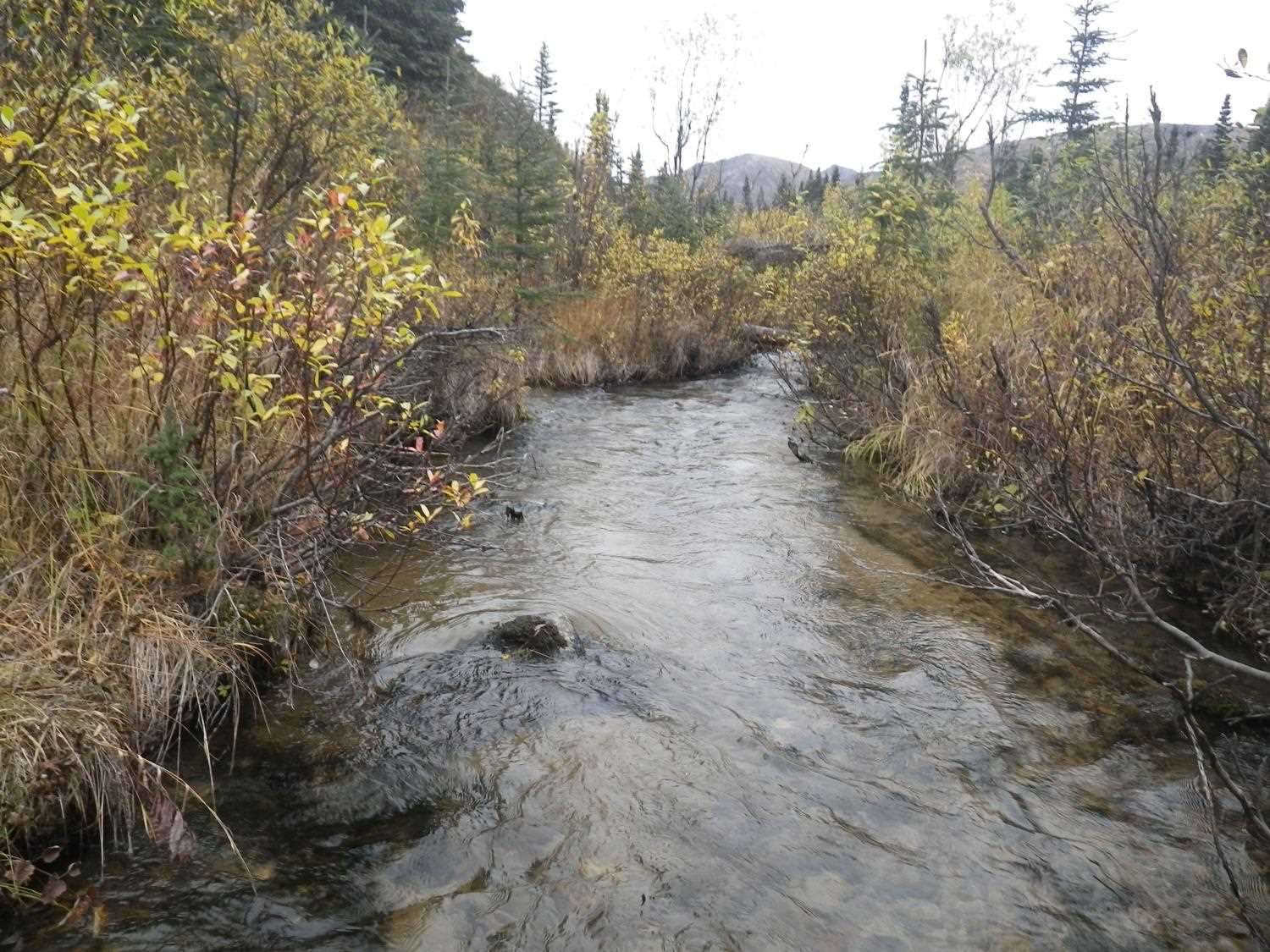
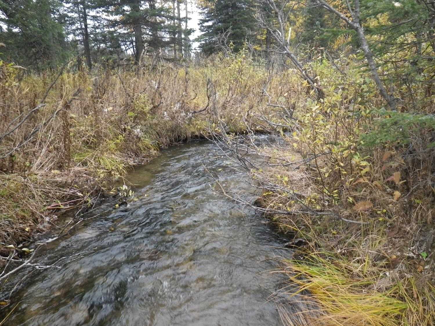
Stream Name: Francie Creek
Elevation:
Site Comments: None
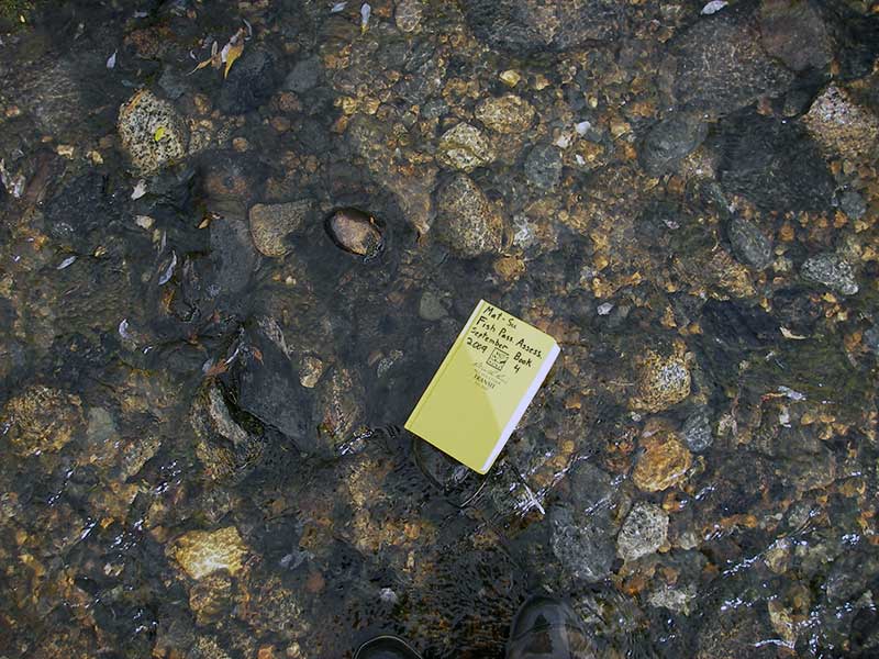
Survey MSB09-WFR12
Project Supervisor: Gillian O'Doherty, ADFG
Observers: Heidi Zimmer, Ben Histand
Overall Fish Passage Rating:
Tidal: No
Backwatered: No
Step Pools: No
Construction Year:
Site Observations:
- Culvert gradient red
- Outfall height red
- Constriction ratio red
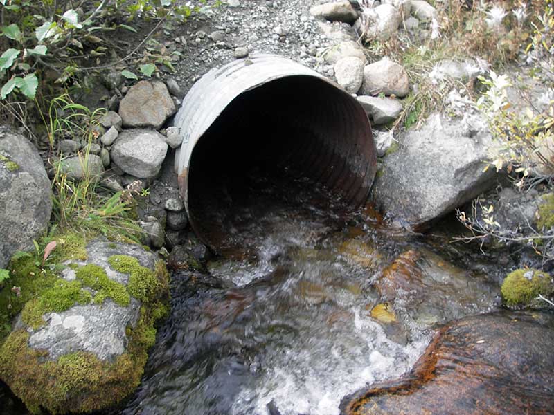
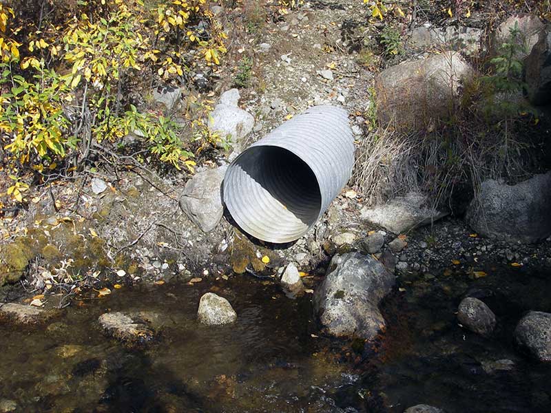
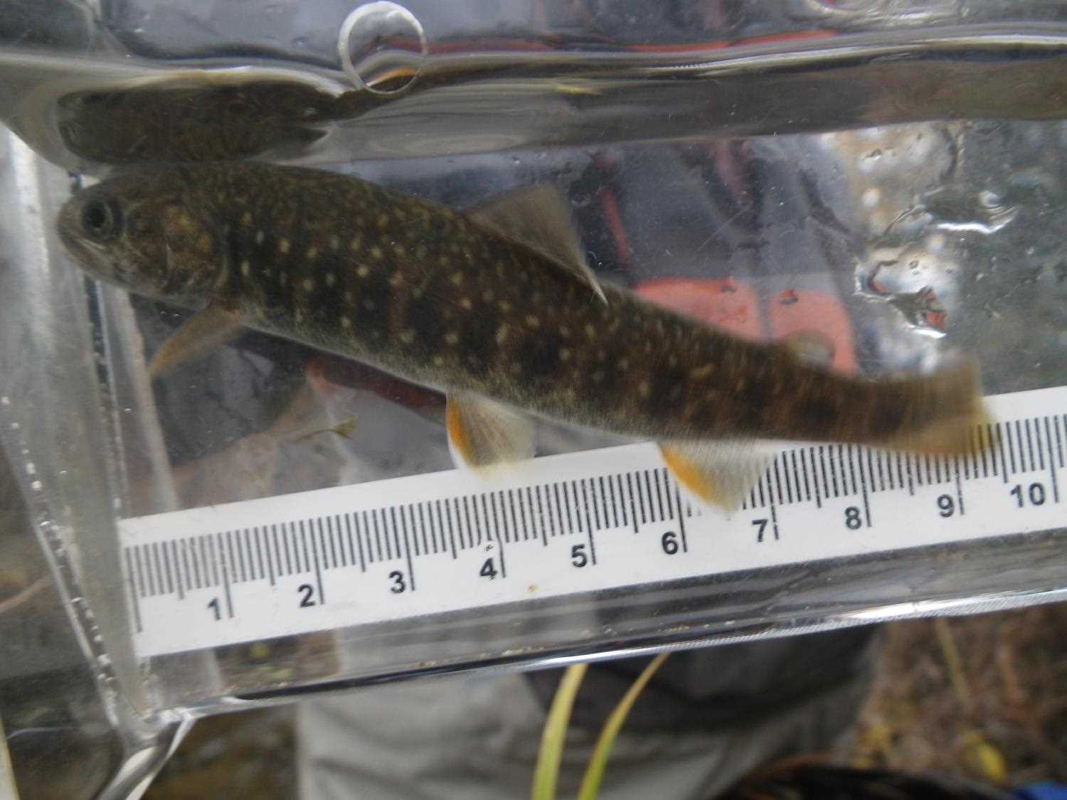
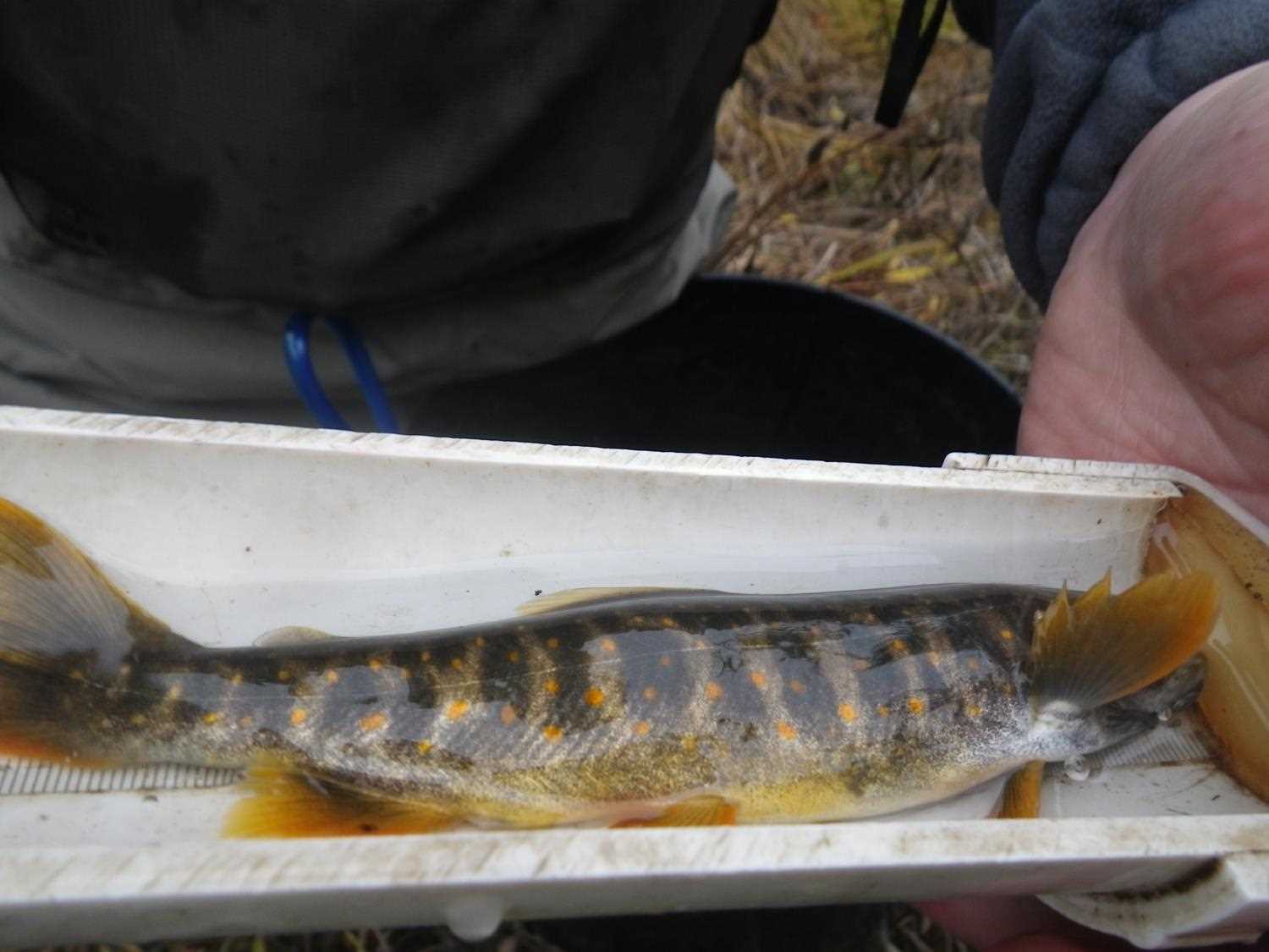
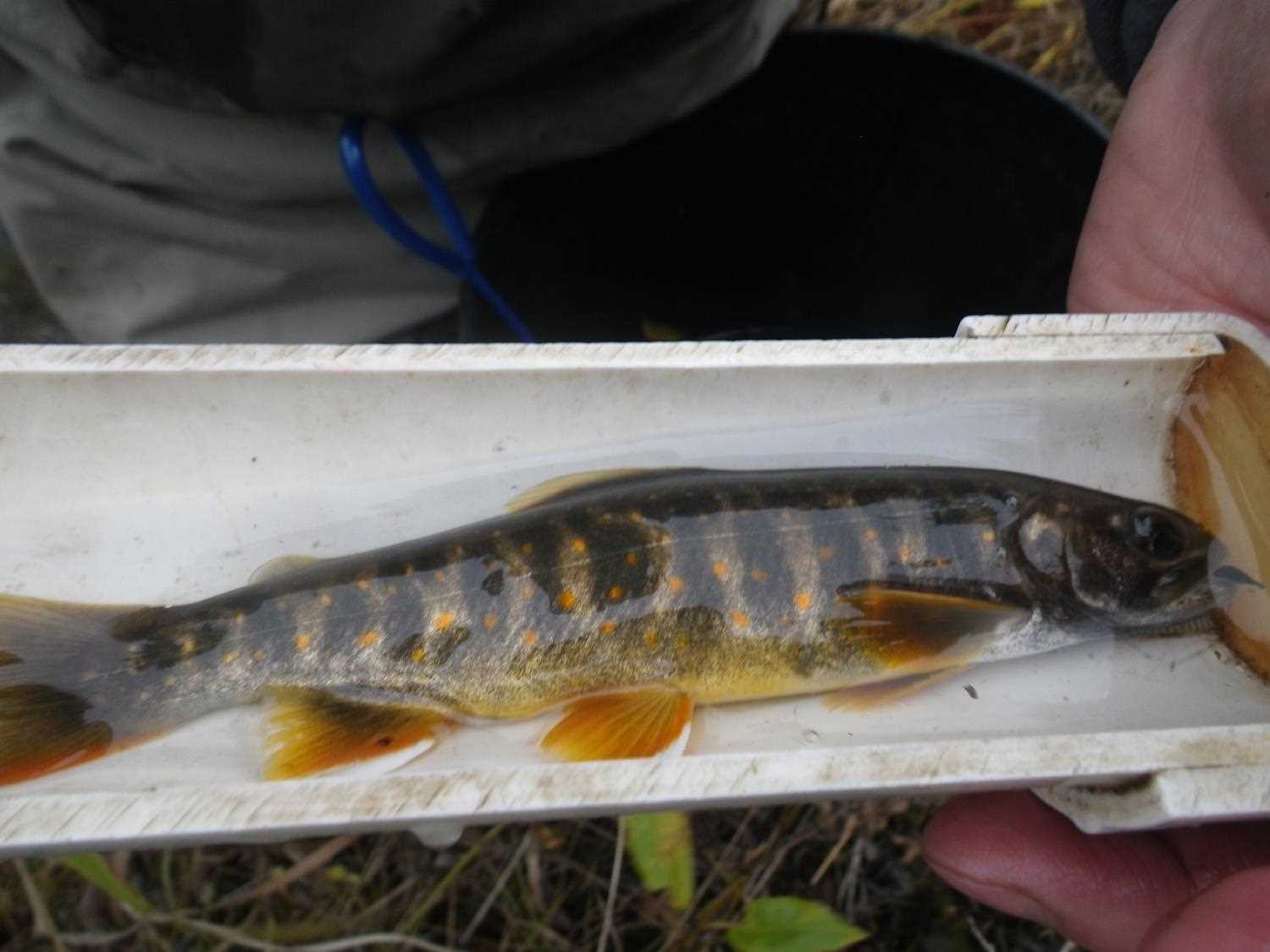
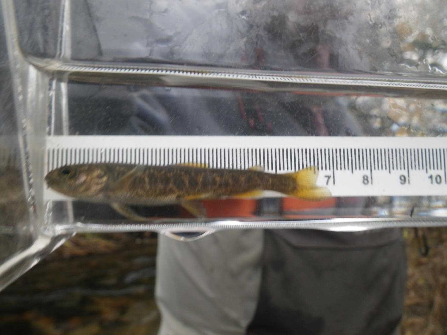
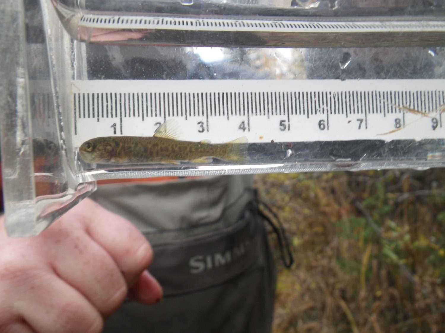
Comments: No fish caught; DV(?) obs u/s. **Updated site photos and fish sampling information added from 9/20/16 site visit from Sampling Unmapped Streams in the MSB.
Culvert Measurements
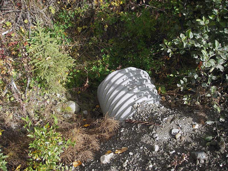
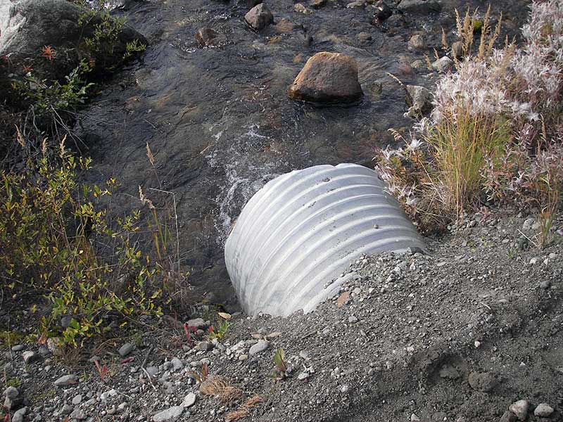
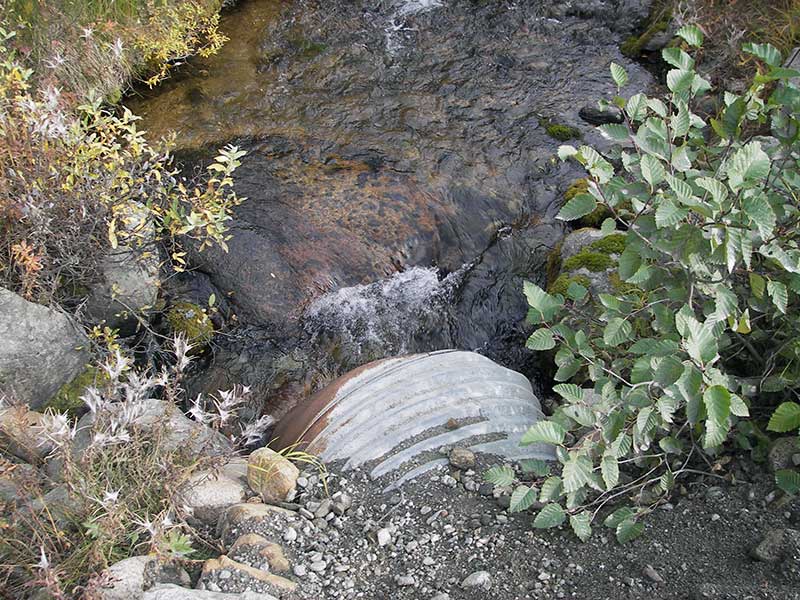
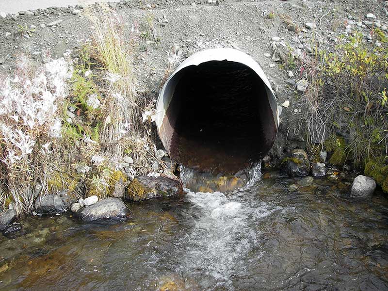
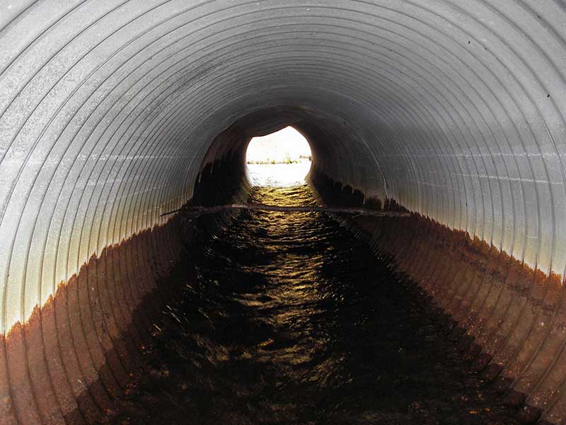
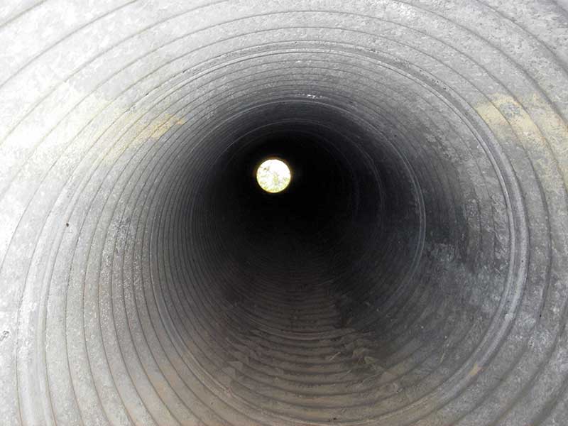
| ID: 1 | Structure Type: Circular pipe (Corrugated steel) | Fish Passage Rating: | |||||||||||||||||||||||||||||||||||||||||
|
|
|
|||||||||||||||||||||||||||||||||||||||||
Culvert Observations:
|
|||||||||||||||||||||||||||||||||||||||||||
Stream Measurements
|
|
| Stream Width Type | Distance From Crossing (ft) |
Stream Width (ft) |
|---|---|---|
| Upstream ordinary high water | 120.0 | 8.50 |
| Upstream ordinary high water | 160.0 | 8.00 |
| Upstream ordinary high water | 220.0 | 6.50 |
Elevations
| Locator ID | Culvert Number |
River Distance (ft)1 |
Distance From Crossing (ft)2 |
Relative Elevation (ft) |
|---|---|---|---|---|
| Outlet Pool Water Elev | 1 | 97.15 | ||
| U/S Headwater | 1 | 98.17 | ||
| D/S Grade Ctrl (Thalweg) | 1 | 0.00 | 86.0 | 94.28 |
| D/S Water Surface Elev (@GP) | 1 | 0.00 | 86.0 | 94.83 |
| D/S Tailcrest or 1st Thalweg | 1 | 77.00 | 9.0 | 96.55 |
| D/S Water Surface Elev (@TWC) | 1 | 77.00 | 9.0 | 97.14 |
| D/S Thalweg (bottom of outlet pool) | 1 | 83.00 | 3.0 | 96.05 |
| D/S Thalweg | 1 | 86.00 | 0.0 | 96.83 |
| Outlet Invert | 1 | 86.00 | 0.0 | 97.04 |
| Road Elev | 1 | 101.00 | 101.94 | |
| Inlet Culvert Invert | 1 | 116.20 | 0.0 | 97.54 |
| U/S Grade Ctrl (Thalweg) | 1 | 122.20 | 6.0 | 98.00 |
| U/S Water Surface Elev (@GP) | 1 | 122.20 | 6.0 | 98.54 |
Notes:
- River distance is measured continuously throughout the survey reach along the thalweg of the stream.
- Measured from each end of the crossing along the thalweg of the stream.
Fish Sampling Efforts
| Gear Type: Minnow Trap (A) | Trap Duration(h): 1.0 | |
| Comments: no fish caught; 100ft u/s | ||
| Gear Type: Visual Observation, Ground (B) | ||
| Comments: Visual observation of possibly a dolly varden upstream of culvert. | ||
Fish Observations
No fish observations occurred during this survey.
Photos
Questions or comments about this report can be directed to dfg.dsf.webmaster@alaska.gov