Fish Passage Site 20501249
Coordinates (dec. deg.): 61.76489°, -149.55006°
Legal Description: S019N002W01
Region: South Central
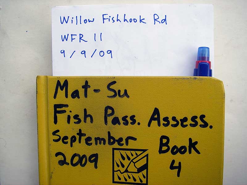
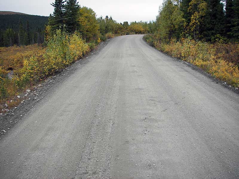
Road Name: Willow Fishhook Road
Datum: WGS84
Quad Name / ITM: Anchorage D-7
AWC Stream #:
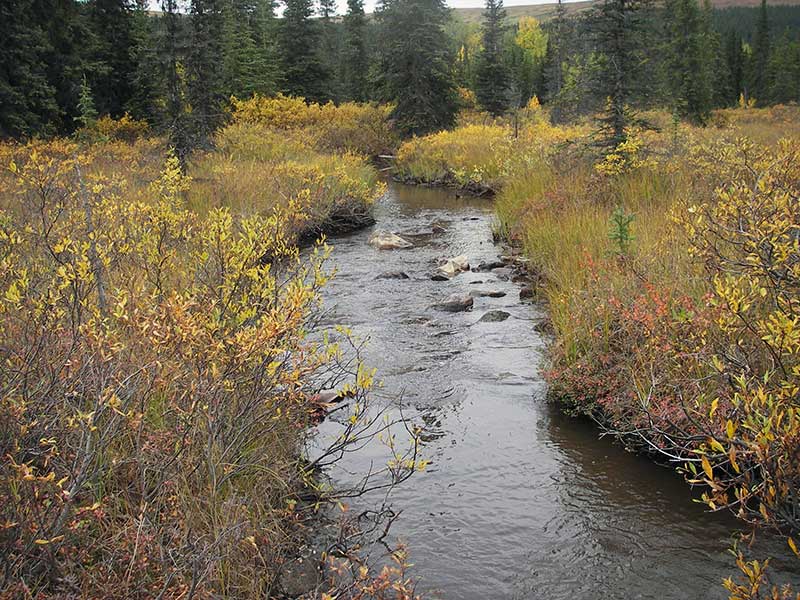
Stream Name: Willow Creek tributary
Elevation:
Site Comments: None
arrow to the right of the survey date below to choose a different report for this site.
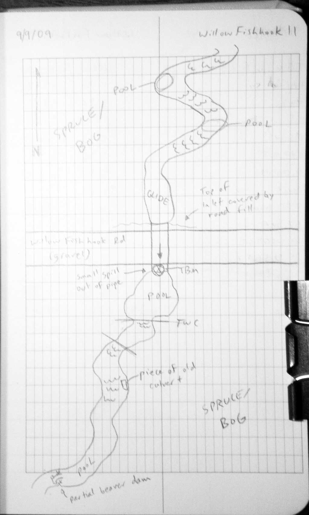
Survey MSB09-WFR11
Project Supervisor: Gillian O'Doherty, ADFG
Observers: Heidi Zimmer, Ben Histand
Overall Fish Passage Rating:
Tidal: No
Backwatered: No
Step Pools: No
Construction Year:
Site Observations:
- Culvert gradient red
- Constriction ratio gray
- Outfall height gray
Comments: None
Culvert Measurements
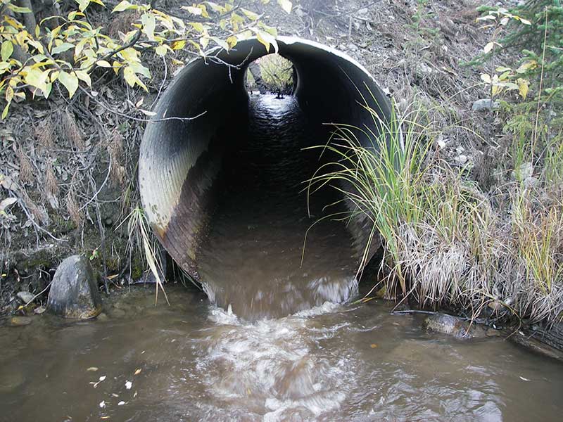
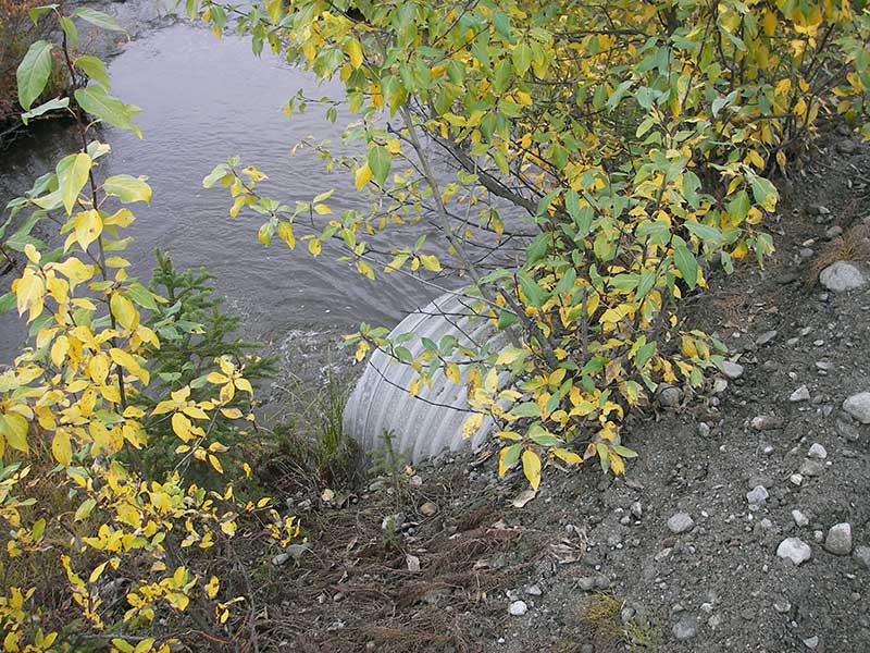
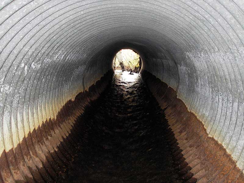
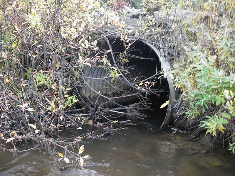
| ID: 1 | Structure Type: Circular pipe (Corrugated steel) | Fish Passage Rating: | |||||||||||||||||||||||||||||||||||||||||
|
|
|
|||||||||||||||||||||||||||||||||||||||||
Culvert Observations:
|
|||||||||||||||||||||||||||||||||||||||||||
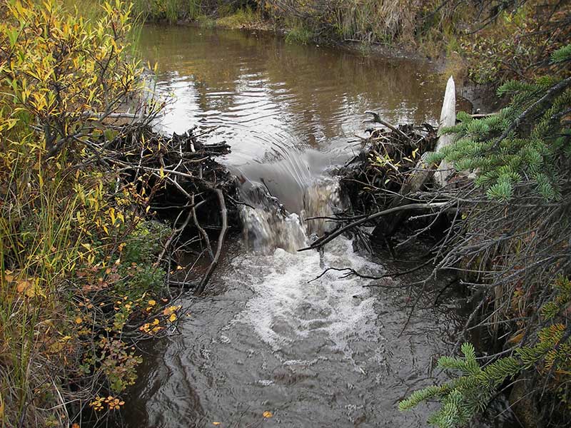
Stream Measurements
|
|
| Stream Width Type | Distance From Crossing (ft) |
Stream Width (ft) |
|---|---|---|
| Upstream ordinary high water | 77.0 | 5.50 |
| Upstream ordinary high water | 161.0 | 5.50 |
| Upstream ordinary high water | 192.0 | 4.00 |
Elevations
| Locator ID | Culvert Number |
River Distance (ft)1 |
Distance From Crossing (ft)2 |
Relative Elevation (ft) |
|---|---|---|---|---|
| Outlet Pool Water Elev | 1 | 97.06 | ||
| U/S Headwater | 1 | 97.98 | ||
| D/S Water Surface Elev (@GP) | 1 | 0.00 | 35.0 | 96.83 |
| D/S Grade Ctrl (Thalweg) | 1 | 0.00 | 35.0 | 96.41 |
| D/S Tailcrest or 1st Thalweg | 1 | 16.00 | 19.0 | 96.66 |
| D/S Water Surface Elev (@TWC) | 1 | 16.00 | 19.0 | 97.06 |
| D/S Thalweg (bottom of pool) | 1 | 29.00 | 6.0 | 95.34 |
| D/S Thalweg | 1 | 35.00 | 0.0 | 96.39 |
| Outlet Invert | 1 | 35.00 | 0.0 | 96.93 |
| Road Elev | 1 | 50.00 | 101.37 | |
| Inlet Culvert Invert | 1 | 65.20 | 0.0 | 97.38 |
| U/S Grade Ctrl (Thalweg) | 1 | 65.70 | 0.5 | 97.41 |
| U/S Water Surface Elev (@GP) | 1 | 65.70 | 0.5 | 98.01 |
Notes:
- River distance is measured continuously throughout the survey reach along the thalweg of the stream.
- Measured from each end of the crossing along the thalweg of the stream.
Fish Sampling Efforts
| Gear Type: Minnow Trap (A) | Trap Duration(h): 0.75 | |
| Comments: no fish caught; 85ft u/s | ||
| Gear Type: Minnow Trap (B) | Trap Duration(h): 0.75 | |
| Comments: 120ft d/s | ||
Fish Observations
| Species: juvenile Dolly Varden | Life History: Not Recorded | ||
| Total Fish Observed: 1 | Fish Measured: 1 | Fork Lengths (mm) Min: 72 Max: 72 Mean: 72 | |
| Collected/Observed by Gear Type: Upstream Minnow Trap (1) | |||
Photos

Questions or comments about this report can be directed to dfg.dsf.webmaster@alaska.gov