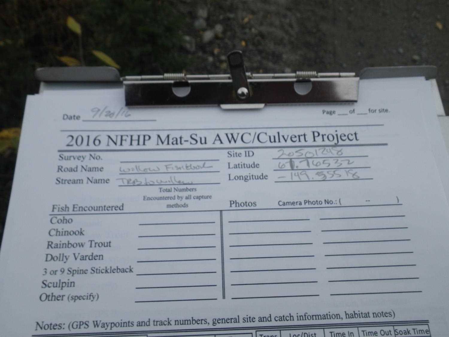
Fish Passage Site 20501248
Coordinates (dec. deg.): 61.76528°, -149.55530°
Legal Description: S019N002W01
Region: South Central
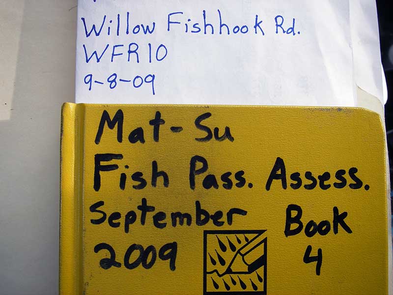
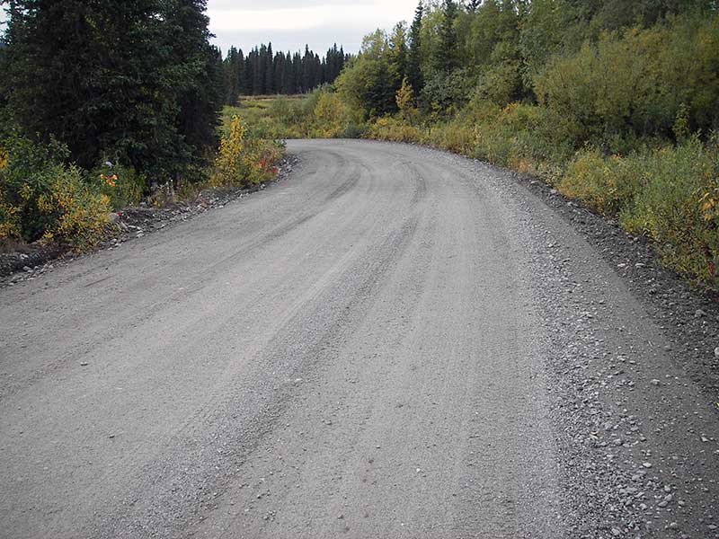
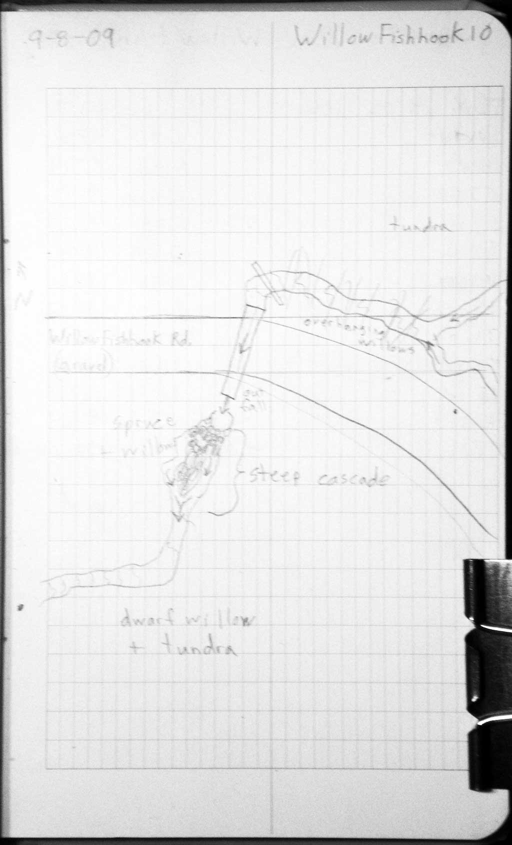
Road Name: Willow Fishhook Road
Datum: WGS84
Quad Name / ITM: Anchorage D-7
AWC Stream #:
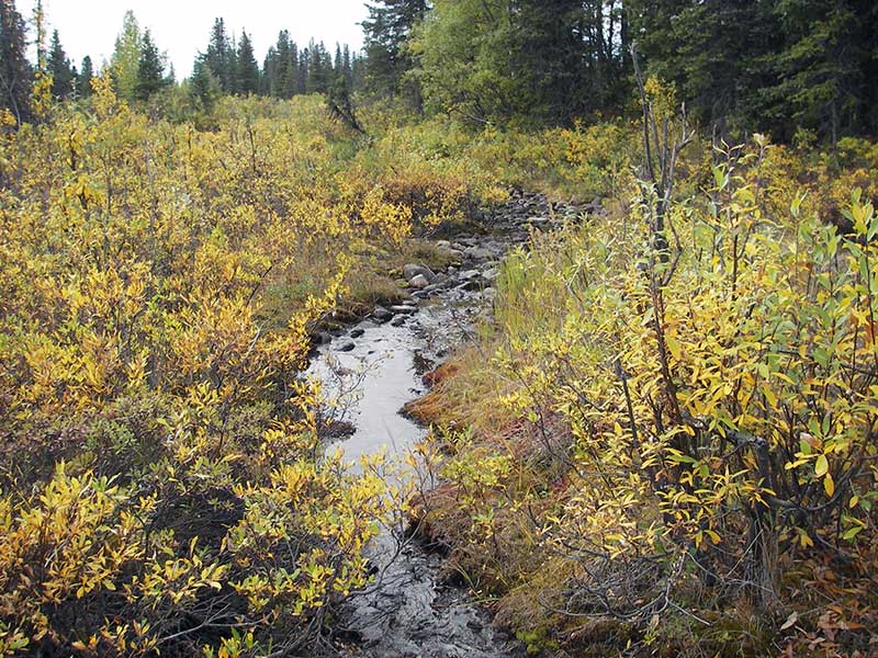
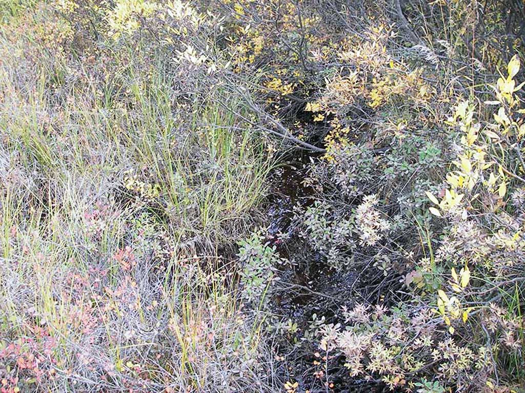
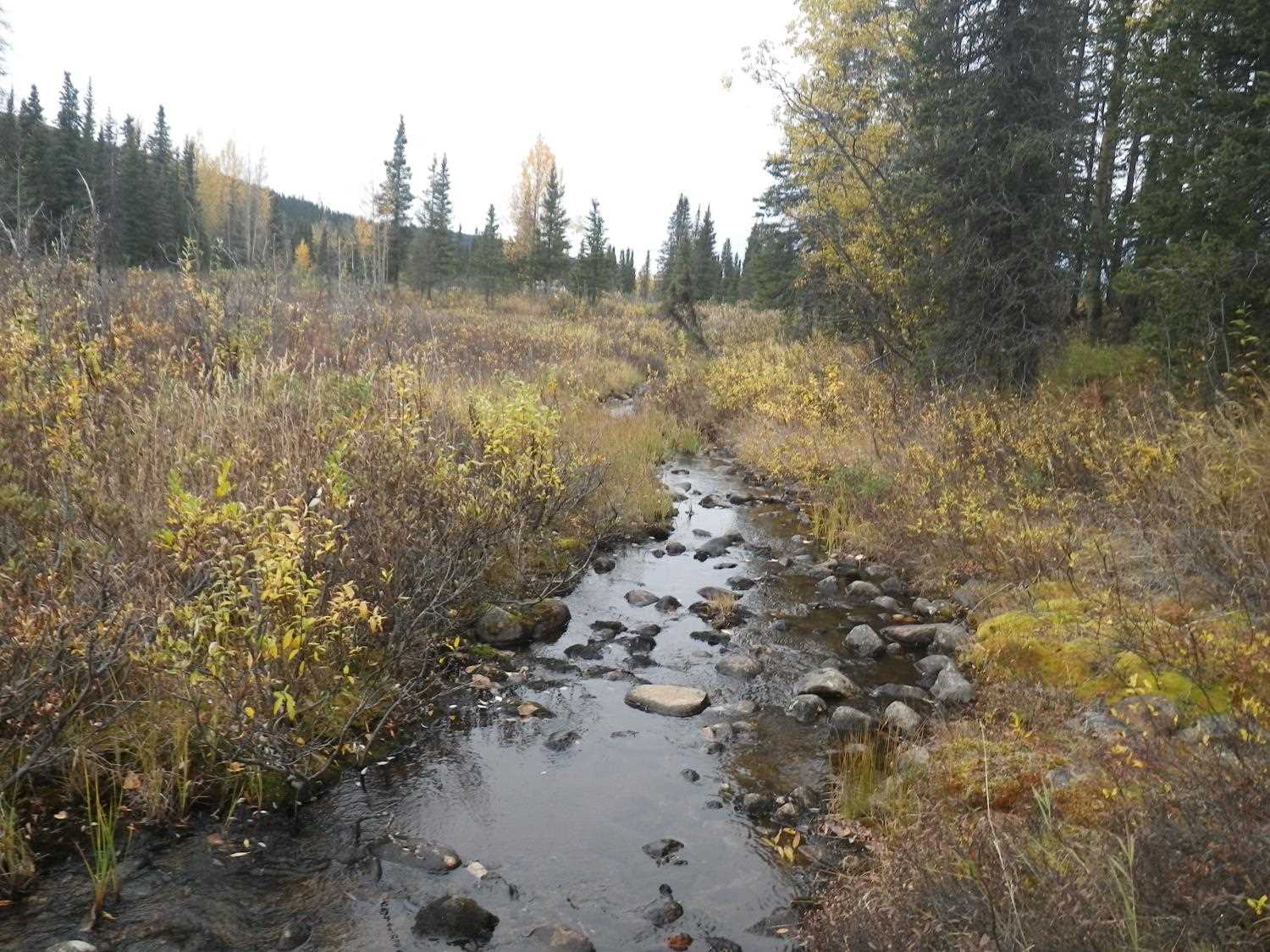
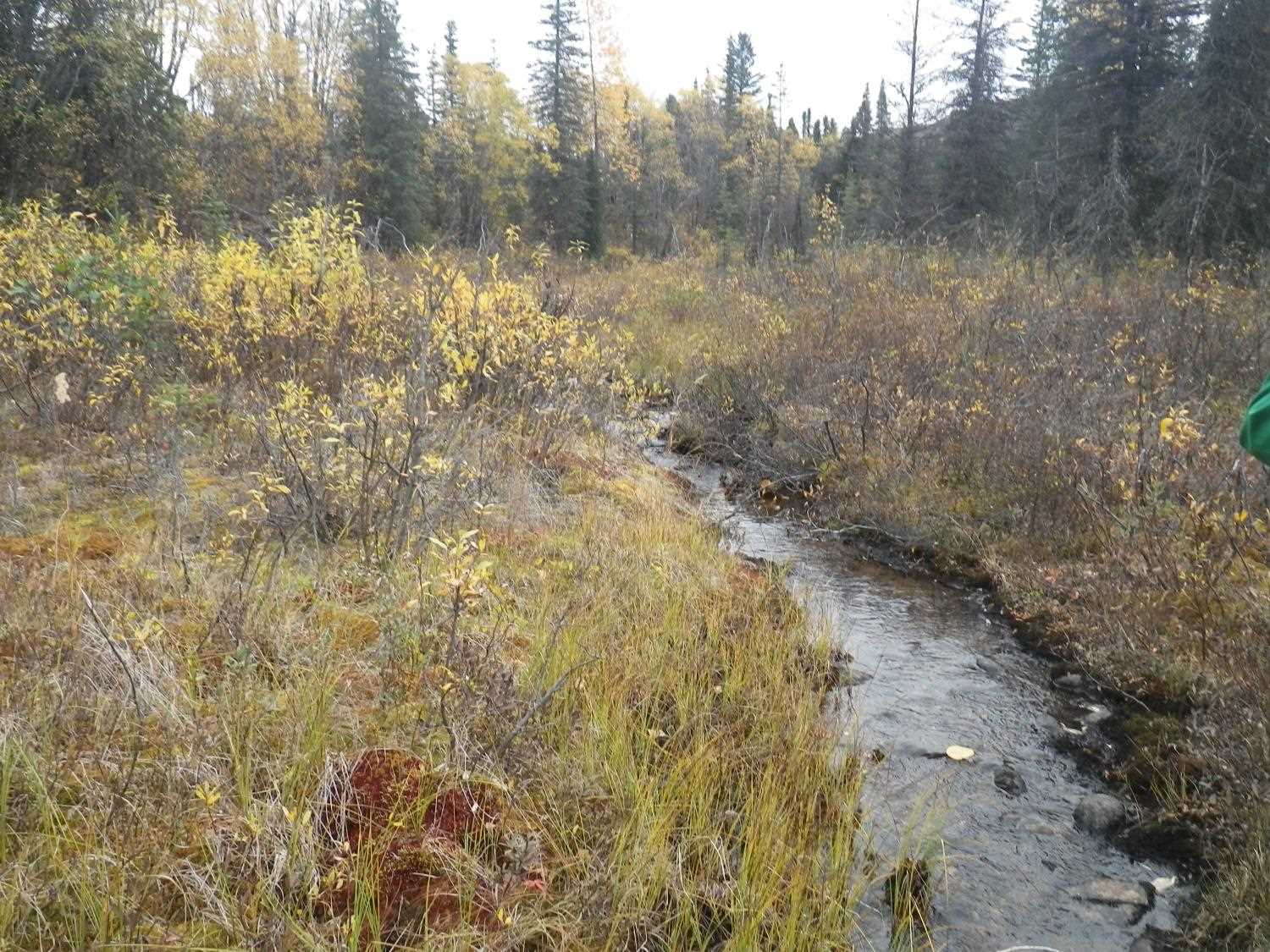
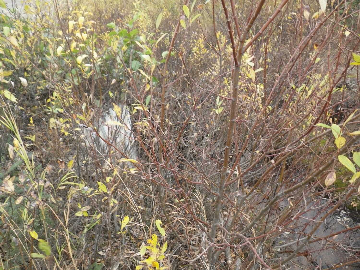
Stream Name: Willow Creek tributary
Elevation:
Site Comments: None
Survey MSB09-WFR10
Project Supervisor: Gillian O'Doherty, ADFG
Observers: Heidi Zimmer, Ben Histand
Overall Fish Passage Rating:
Tidal: No
Backwatered: No
Step Pools: No
Construction Year:
Site Observations:
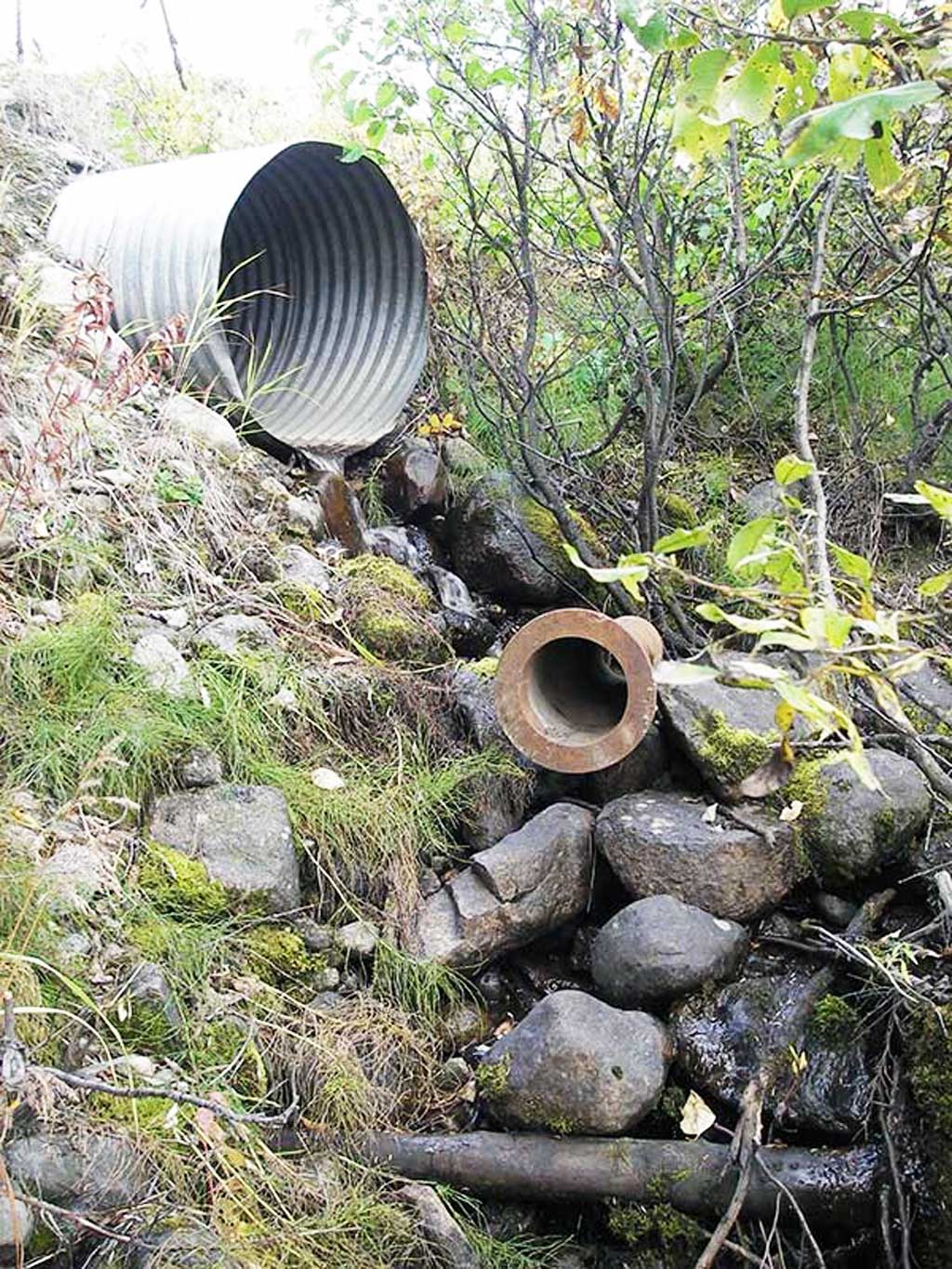
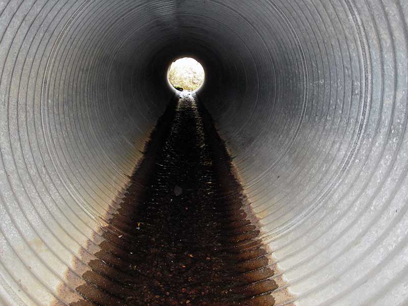
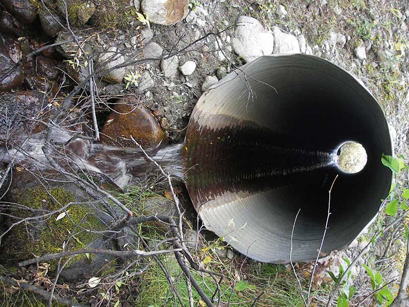
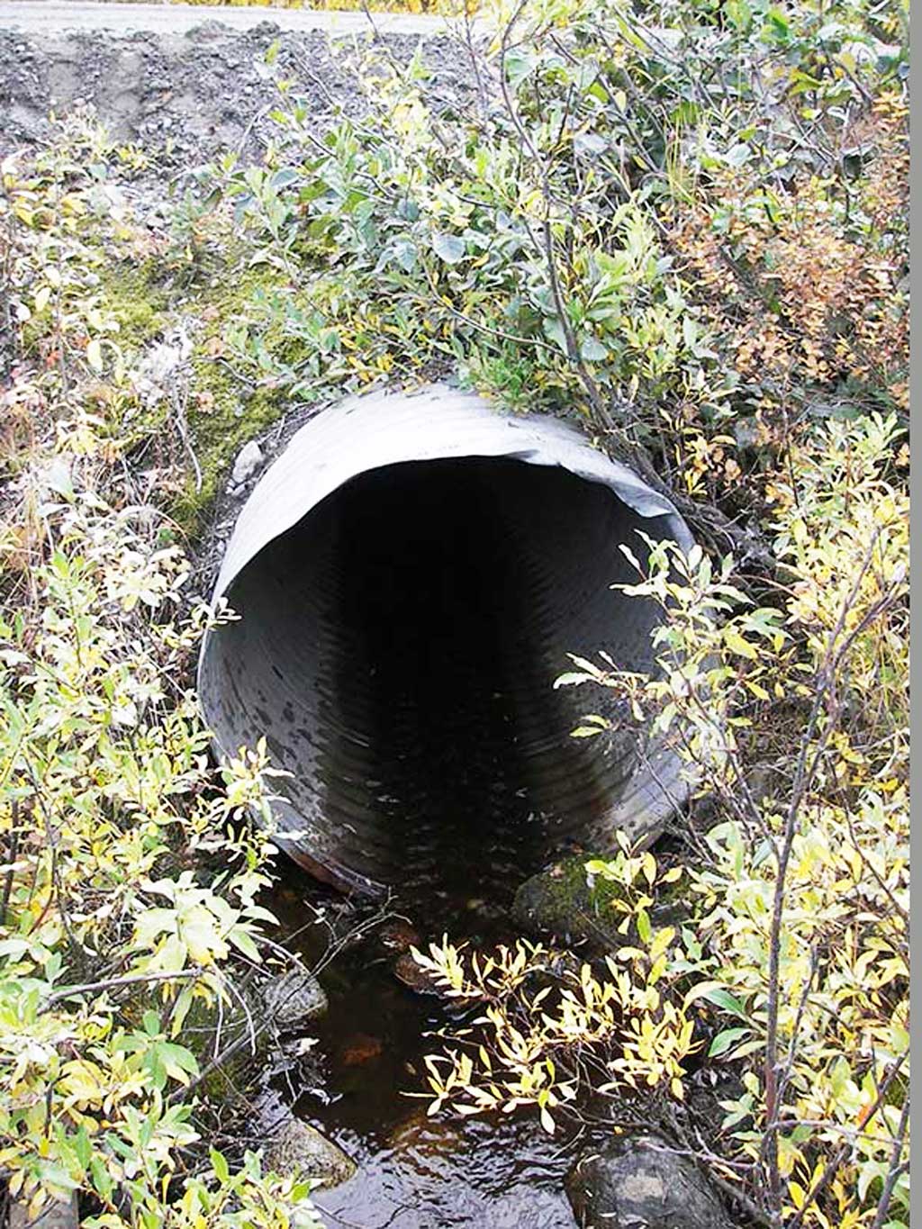
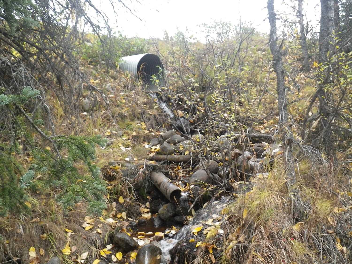
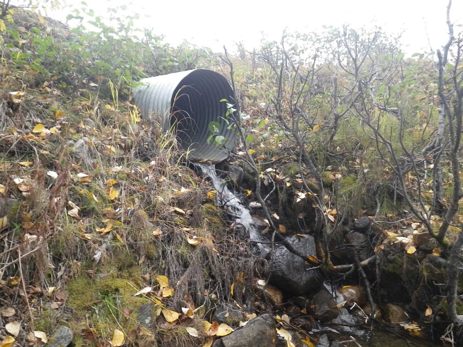
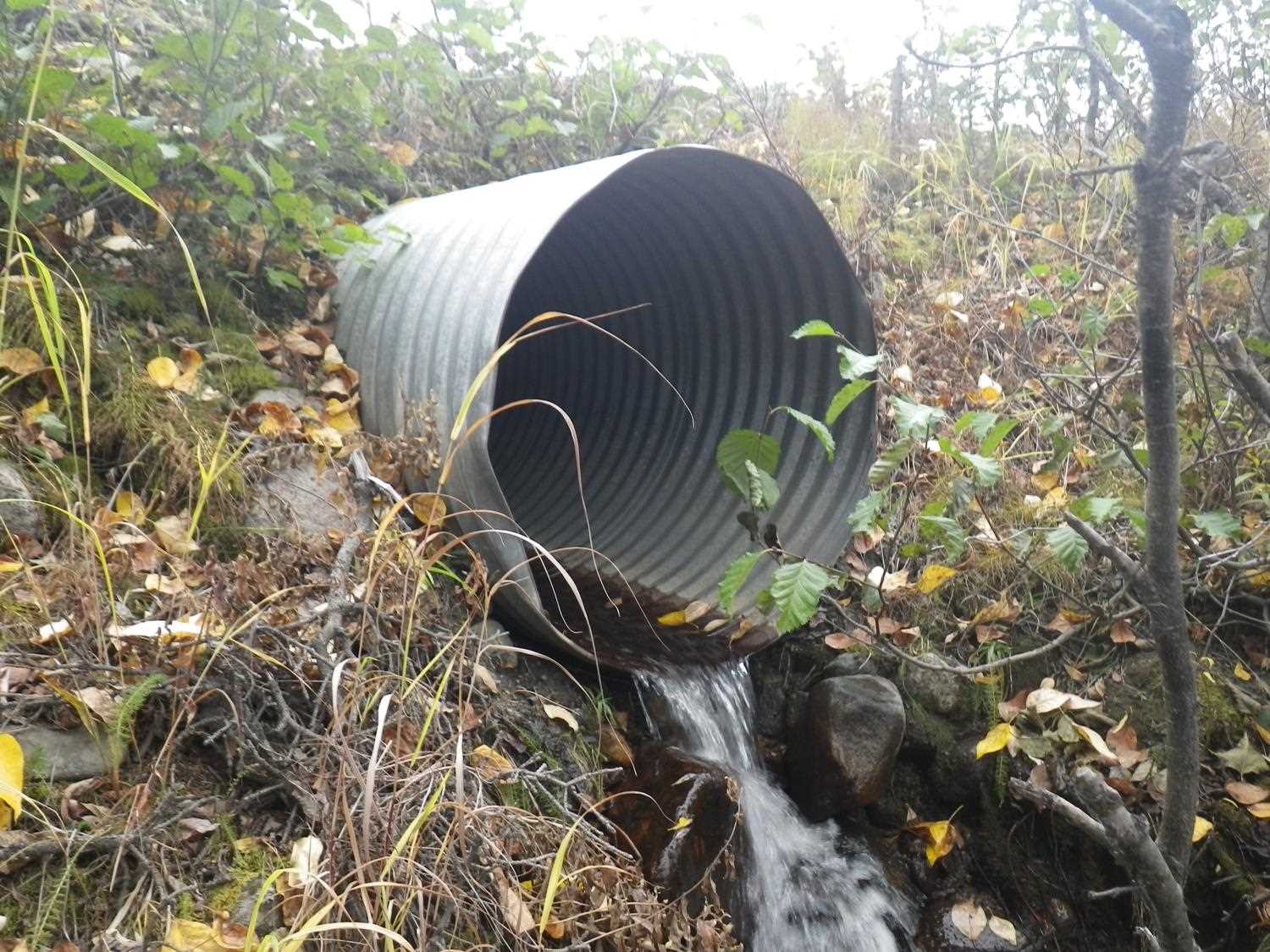
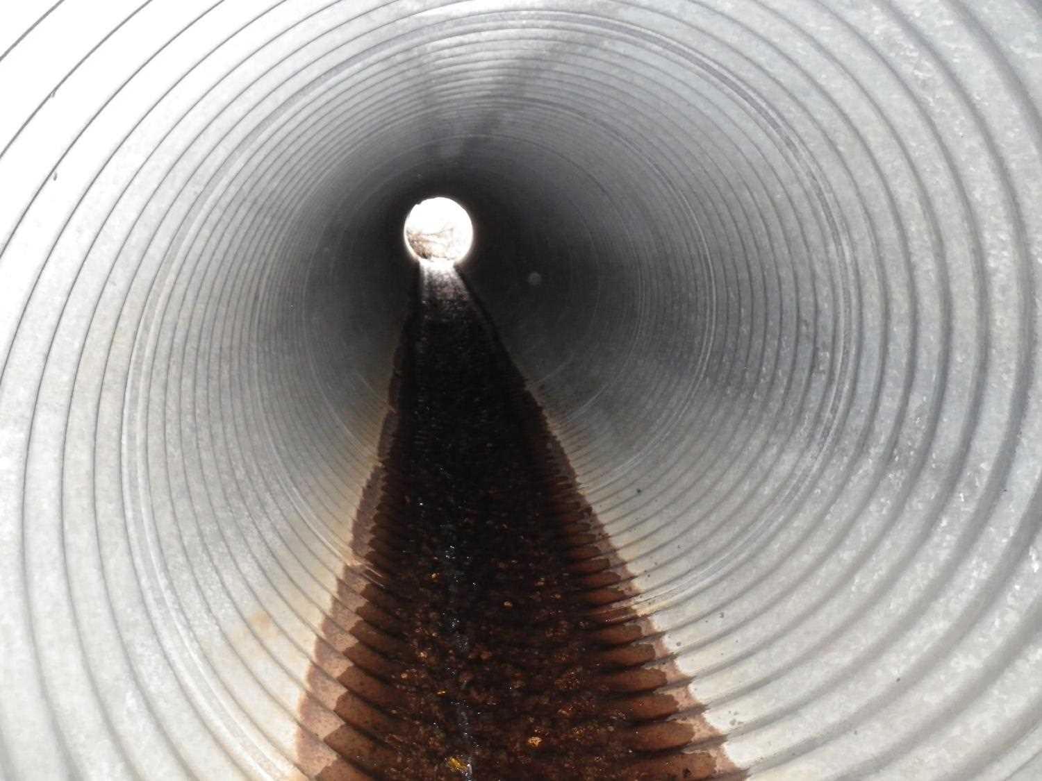
- Culvert gradient red
- Outfall height red
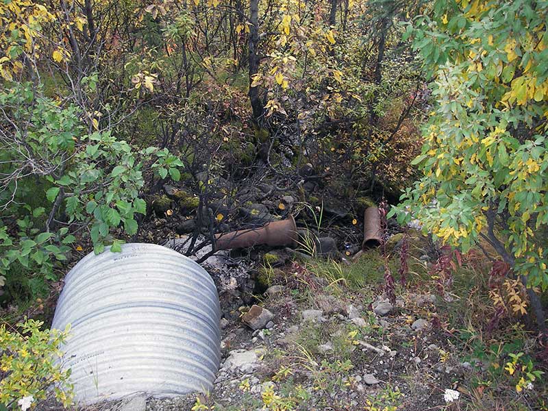
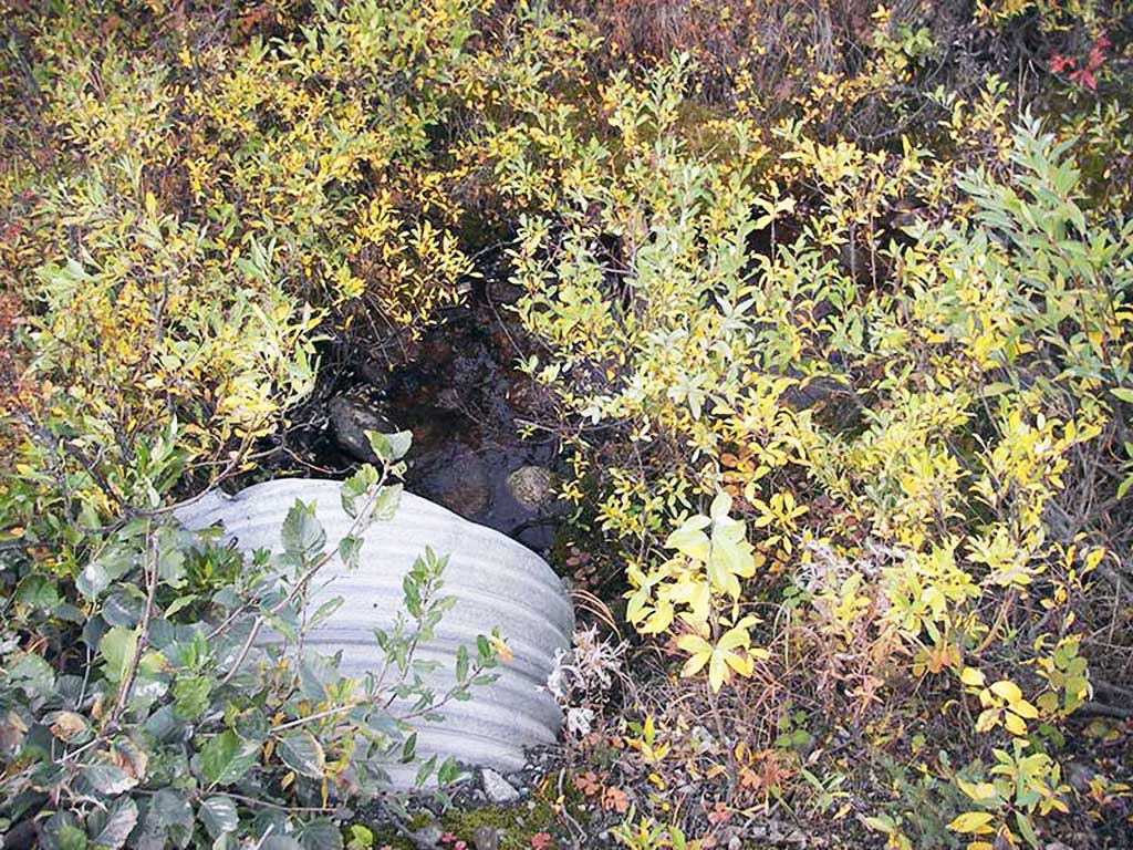
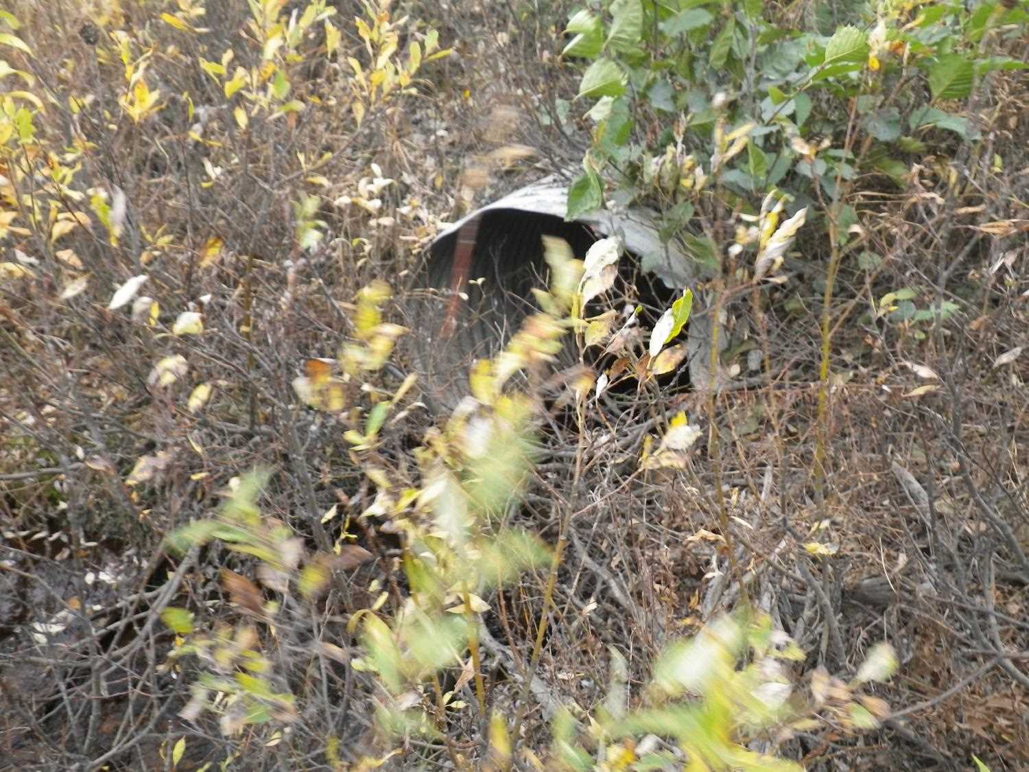
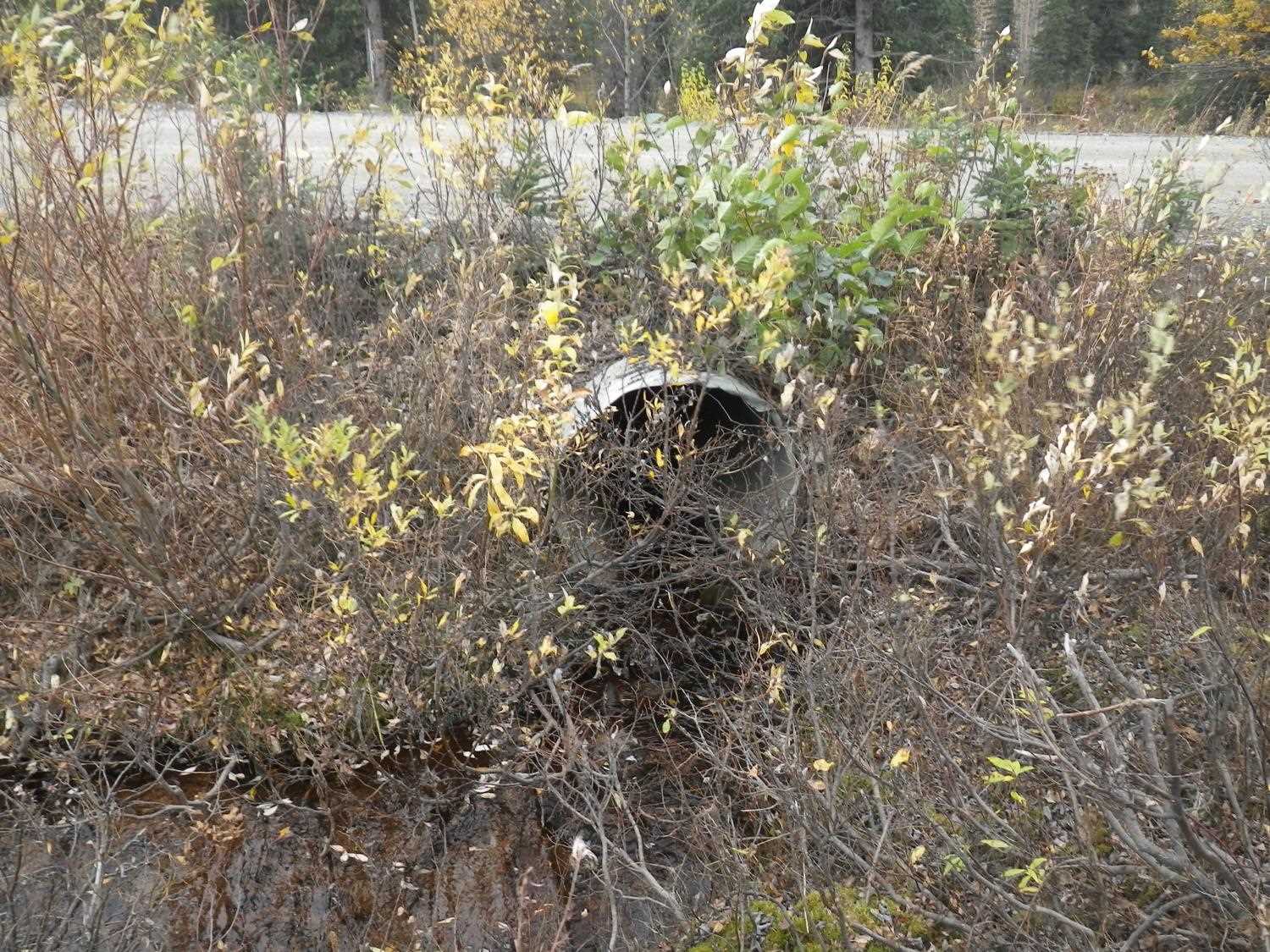
- Culvert is poorly aligned
Comments: Upstream too shallow for trapping and downstream connects to AWC stream. **Updated site photos added from 9/20/16 site visit from Sampling Unmapped Streams in the MSB project. Fish information entered into AFFI.
Culvert Measurements
| ID: 1 | Structure Type: Circular pipe (Corrugated steel) | Fish Passage Rating: | |||||||||||||||||||||||||||||||||||||||||
|
|
|
|||||||||||||||||||||||||||||||||||||||||
Culvert Observations:
|
|||||||||||||||||||||||||||||||||||||||||||
Stream Measurements
|
|
| Stream Width Type | Distance From Crossing (ft) |
Stream Width (ft) |
|---|---|---|
| Upstream ordinary high water | 20.0 | 4.00 |
| Upstream ordinary high water | 50.0 | 4.50 |
| Upstream ordinary high water | 80.0 | 2.00 |
Elevations
| Locator ID | Culvert Number |
River Distance (ft)1 |
Distance From Crossing (ft)2 |
Relative Elevation (ft) |
|---|---|---|---|---|
| Outlet Pool Water Elev (WS of outlet pool) | 1 | 91.60 | ||
| U/S Headwater | 1 | 97.14 | ||
| D/S Grade Ctrl (Thalweg) | 1 | 0.00 | 15.0 | 87.69 |
| D/S Water Surface Elev (@GP) | 1 | 0.00 | 15.0 | 87.81 |
| D/S Grade Ctrl (Thalweg) (pt would be TWC, but water flows thru rocks under it) | 1 | 9.50 | 5.5 | 91.69 |
| D/S Thalweg (bottom of pool) | 1 | 10.50 | 4.5 | 90.92 |
| U/S Water Surface Elev (@GP) | 1 | 14.30 | 0.7 | 97.27 |
| Outlet Invert | 1 | 15.00 | 0.0 | 93.66 |
| Road Elev | 1 | 35.00 | 101.14 | |
| Inlet Culvert Invert | 1 | 55.70 | 0.0 | 97.06 |
| U/S Grade Ctrl (Thalweg) (1st TC u/s) | 1 | 56.40 | 0.7 | 97.12 |
Notes:
- River distance is measured continuously throughout the survey reach along the thalweg of the stream.
- Measured from each end of the crossing along the thalweg of the stream.
Fish Sampling Efforts
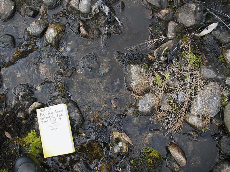
No fish sampling occurred during this survey.
Fish Observations
No fish observations occurred during this survey.
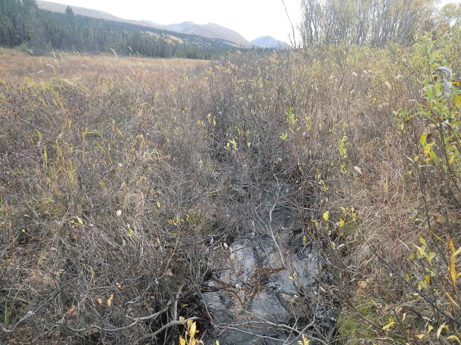
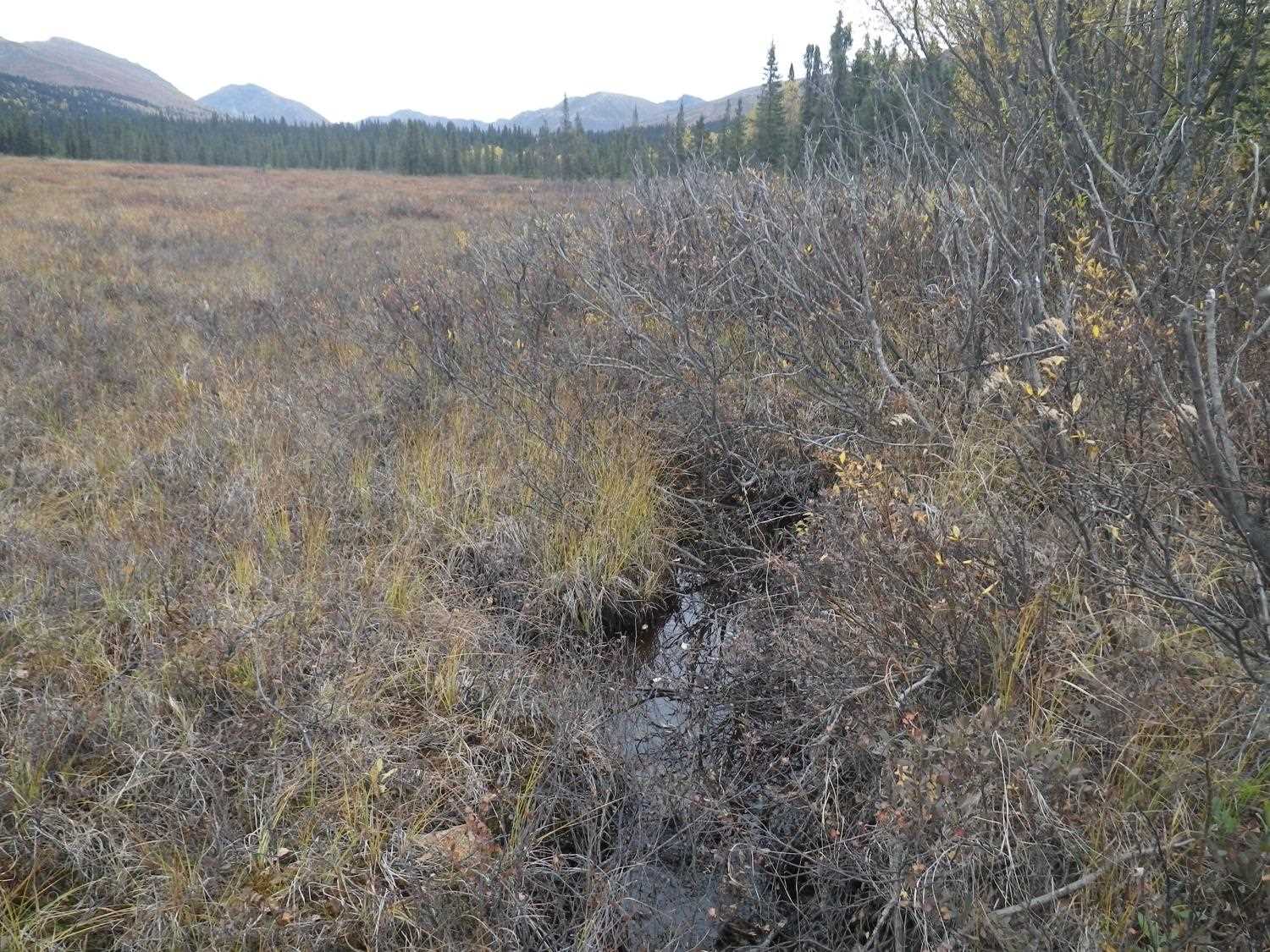
Photos
Questions or comments about this report can be directed to dfg.dsf.webmaster@alaska.gov