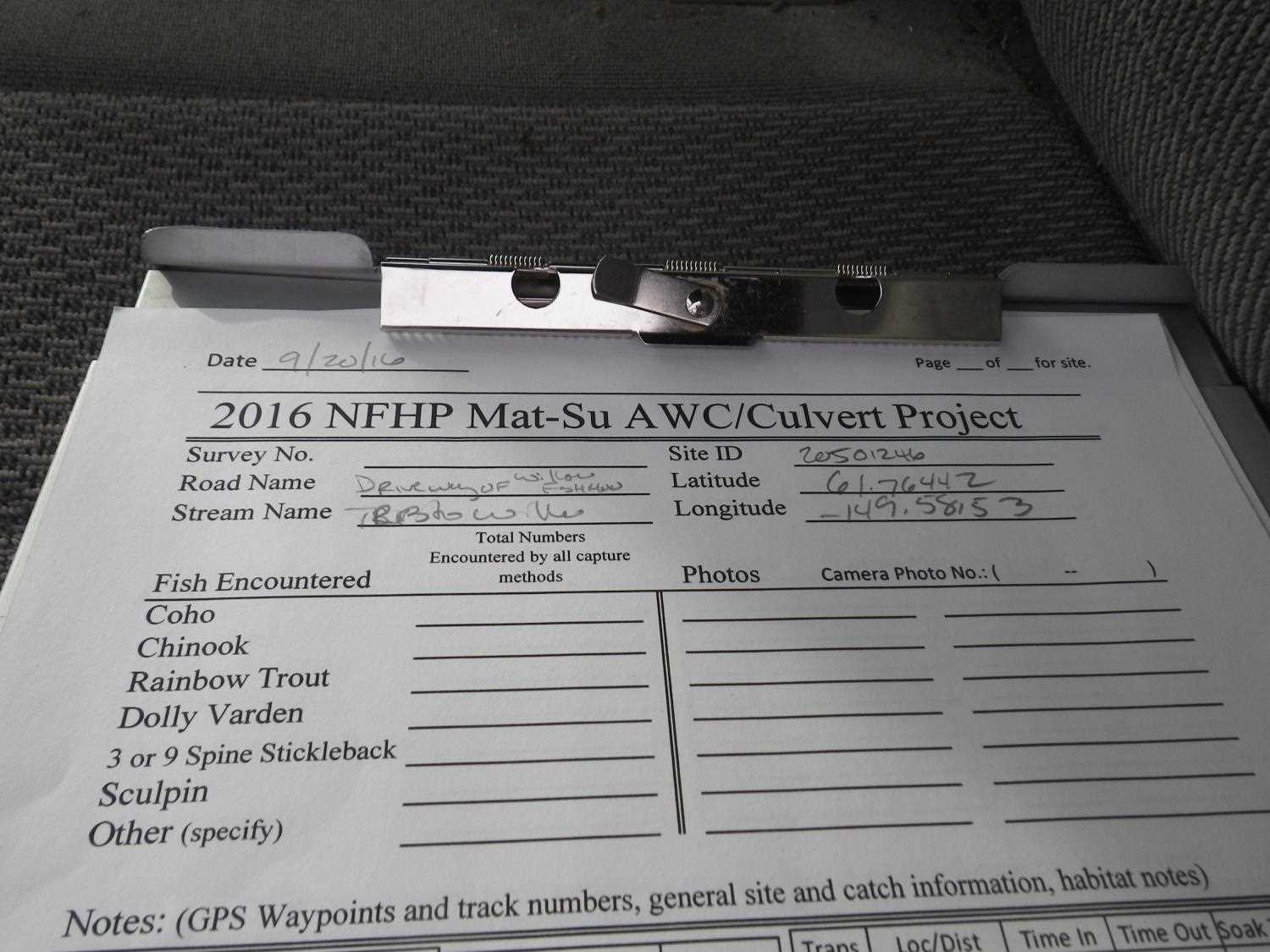
Fish Passage Site 20501246
Coordinates (dec. deg.): 61.76441°, -149.58159°
Legal Description: S019N002W02
Region: South Central
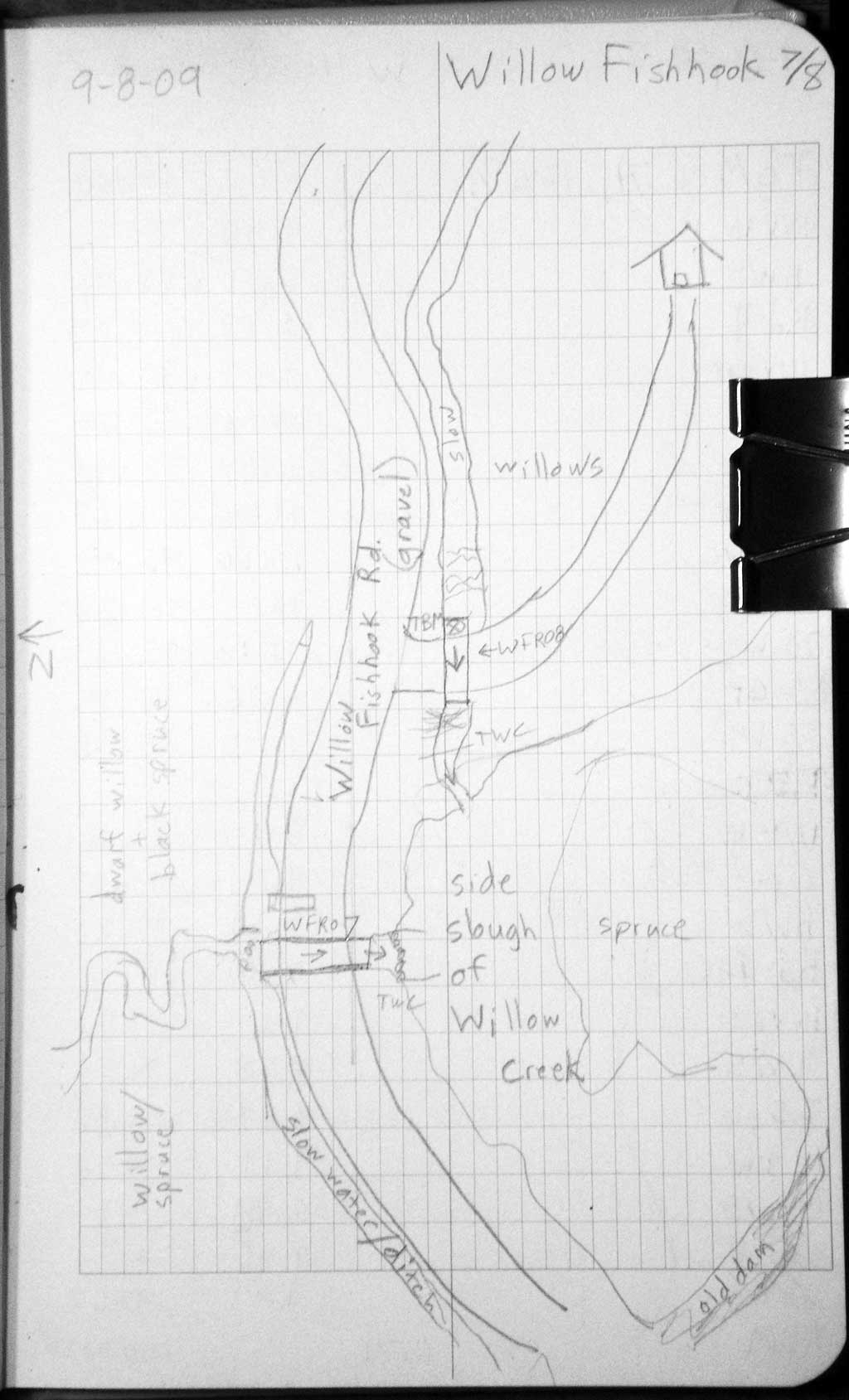
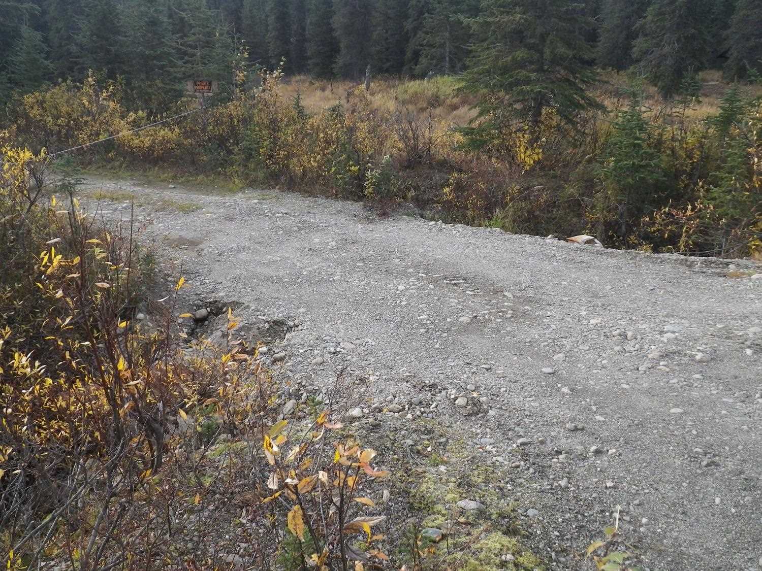
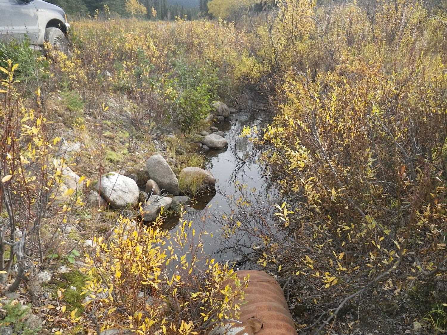
Road Name: Willow Fishhook Road- side roa
Datum: WGS84
Quad Name / ITM: Anchorage D-7
AWC Stream #:
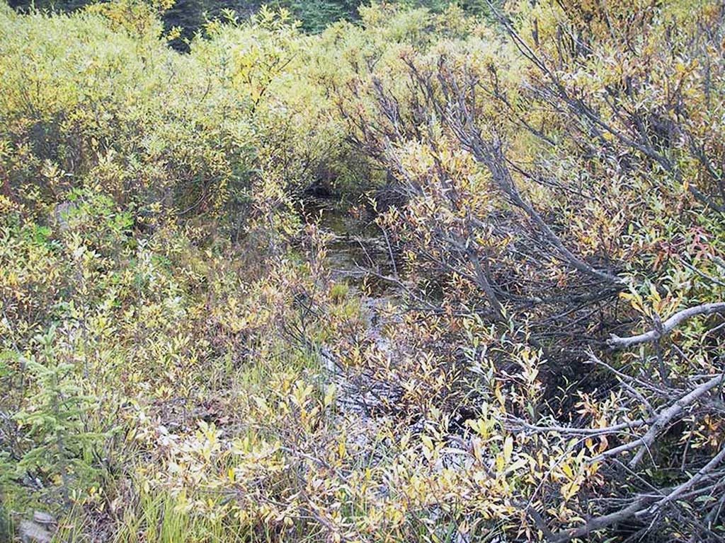
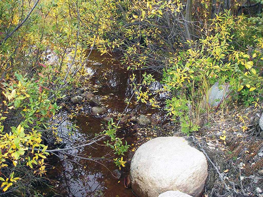
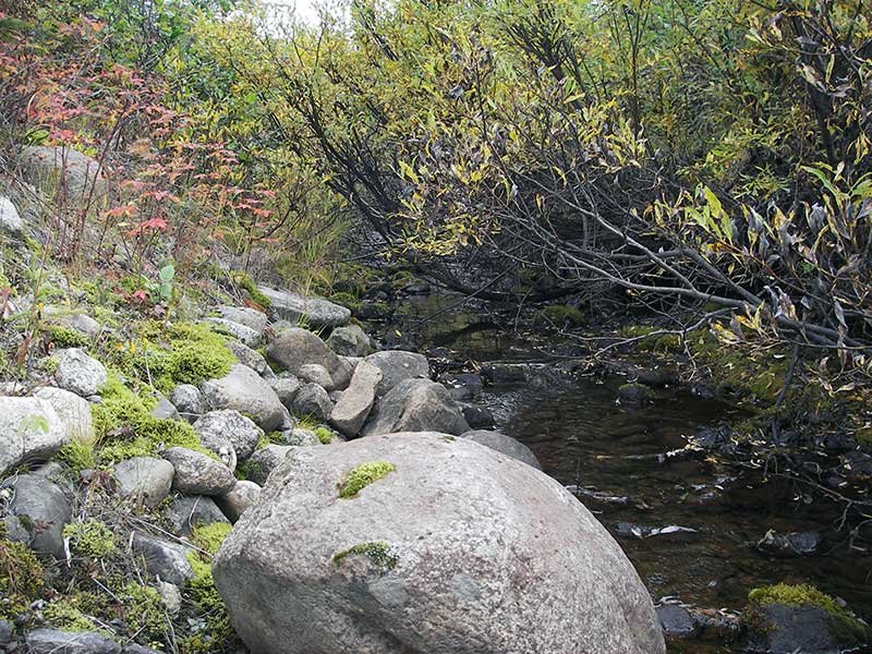
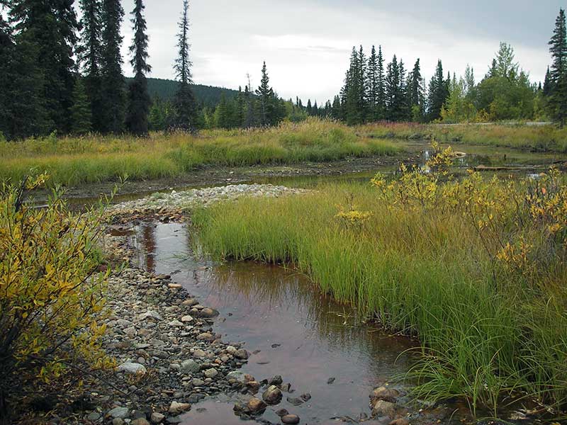
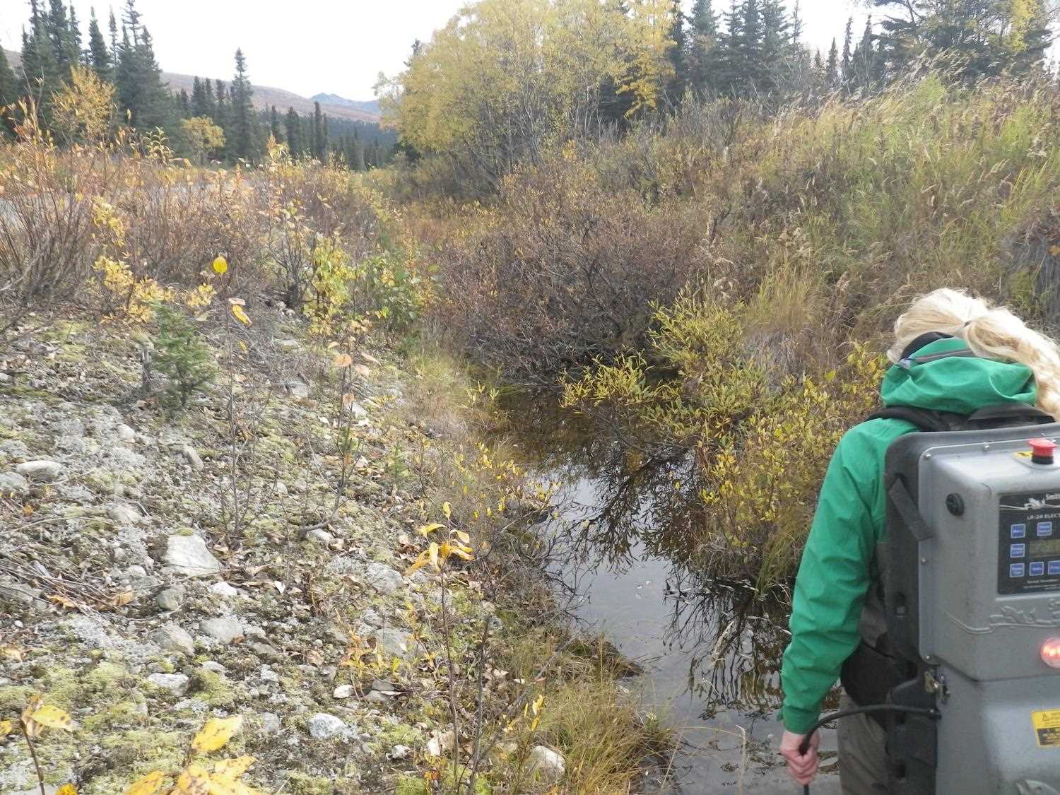
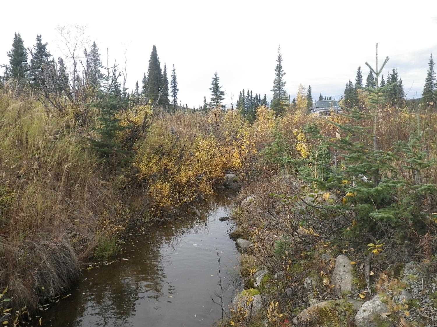
Stream Name: Willow Creek tributary
Elevation:
Site Comments: None
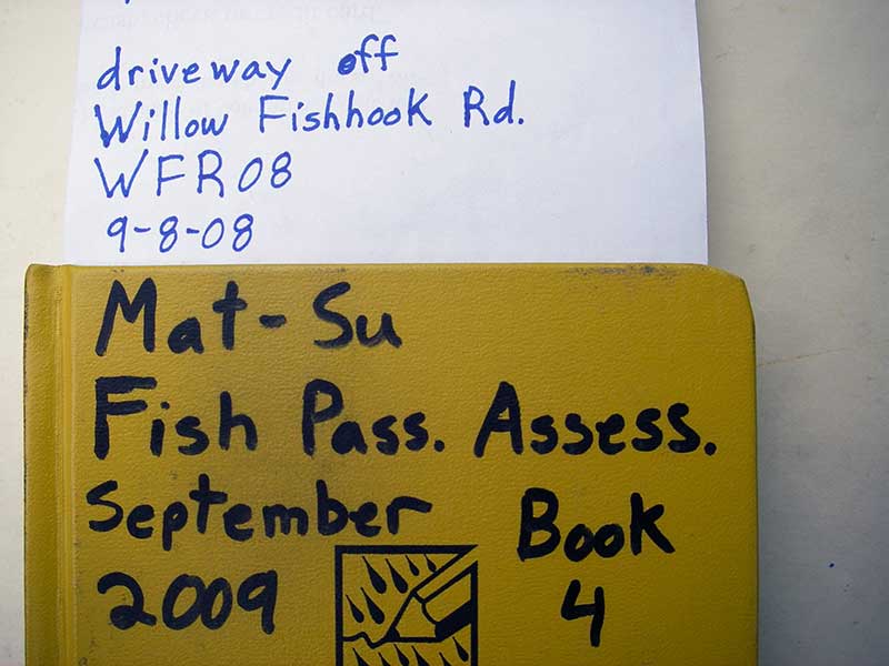
Survey MSB09-WFR08
Project Supervisor: Gillian O'Doherty, ADFG
Observers: Heidi Zimmer, Ben Histand
Overall Fish Passage Rating:
Tidal: No
Backwatered: No
Step Pools: No
Construction Year:
Site Observations:
- Culvert gradient red
- Constriction ratio red
- Road bank erosion
- Shallow fill; inadequate roadfill volume above culvert
- Outfall height gray
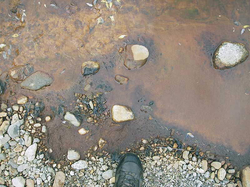
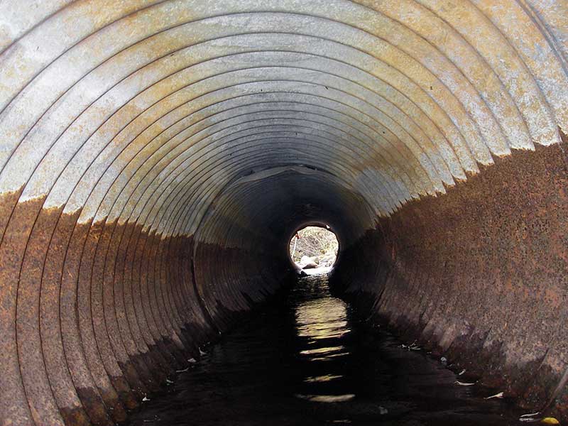
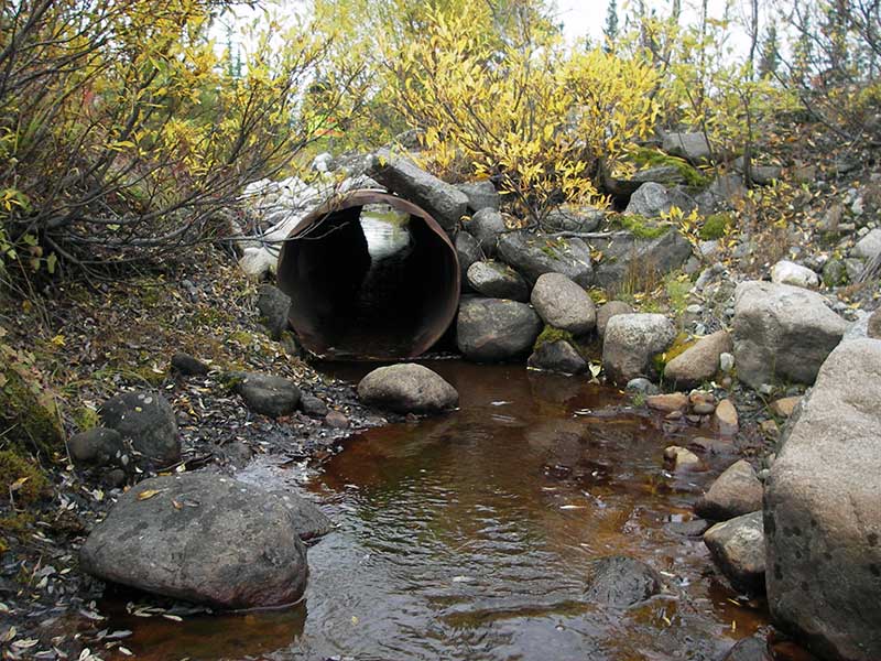
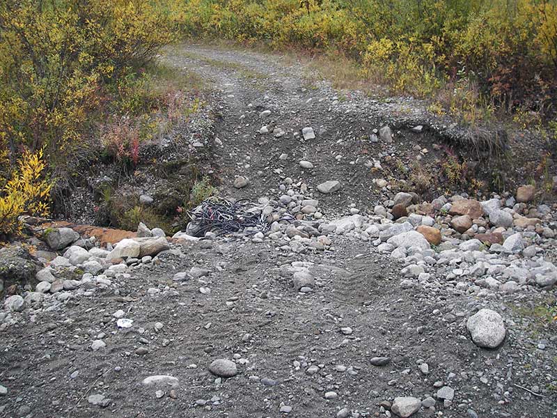
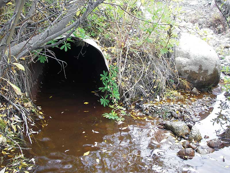
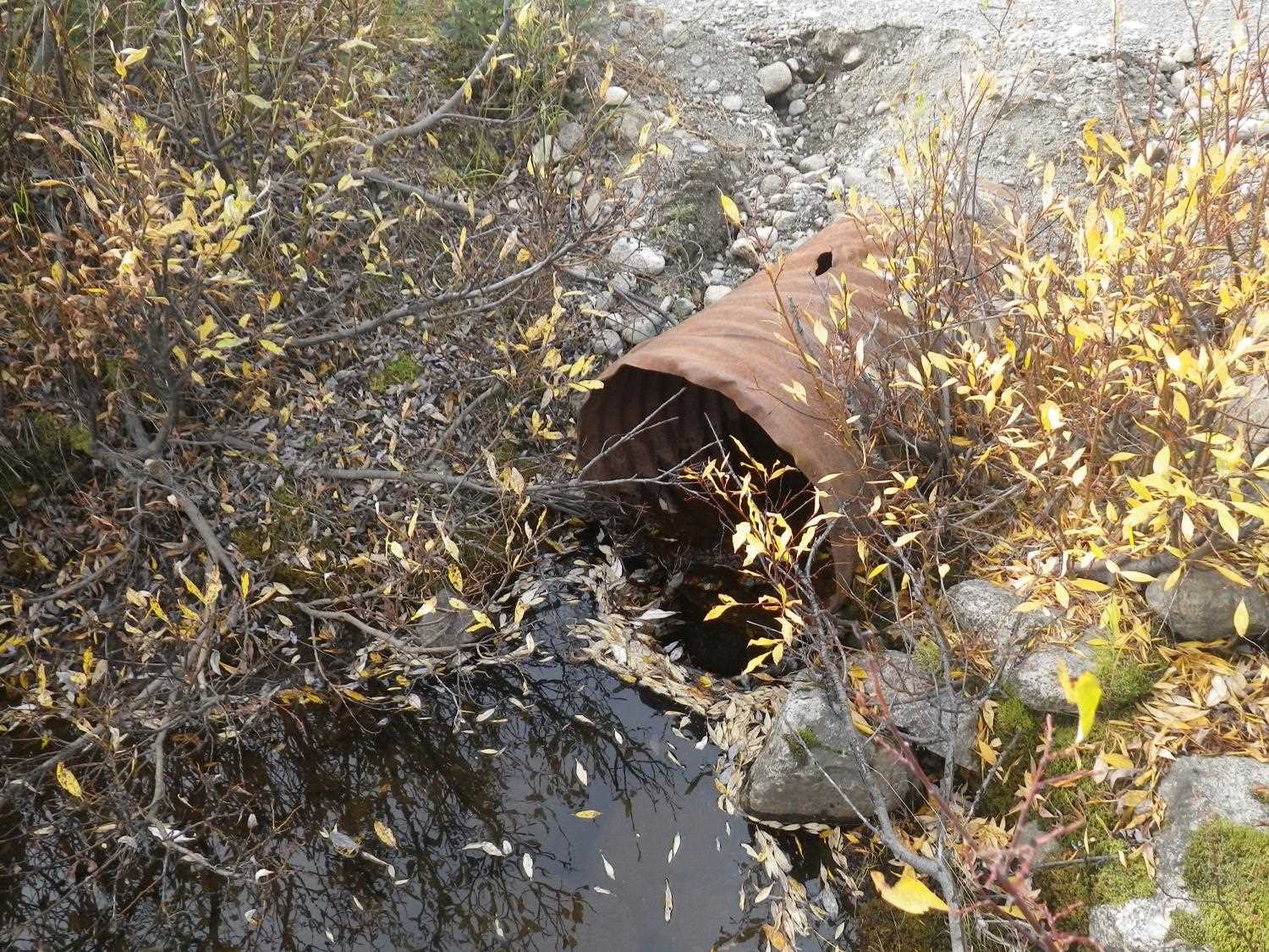
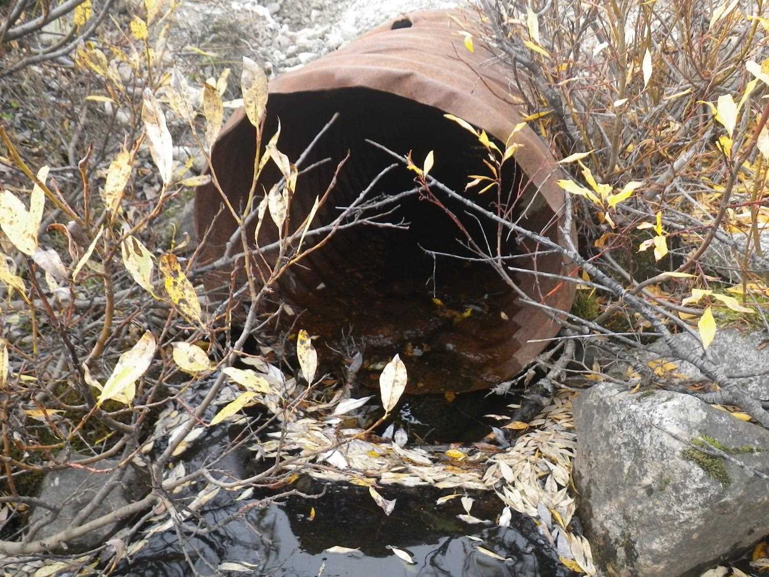
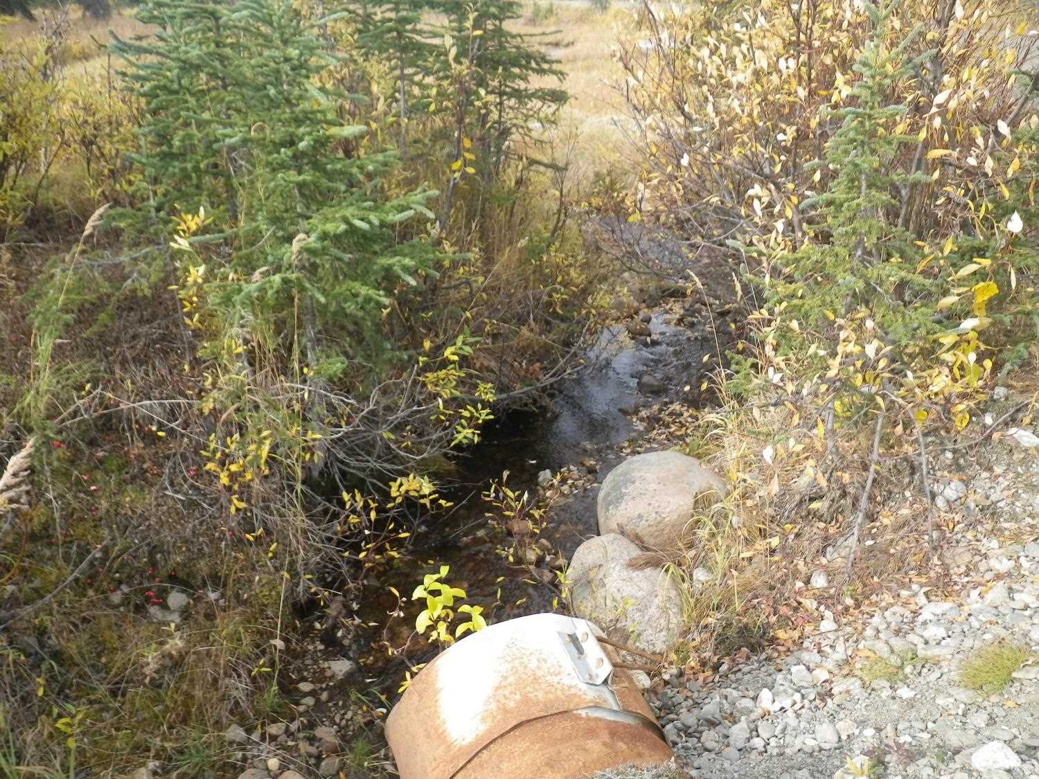
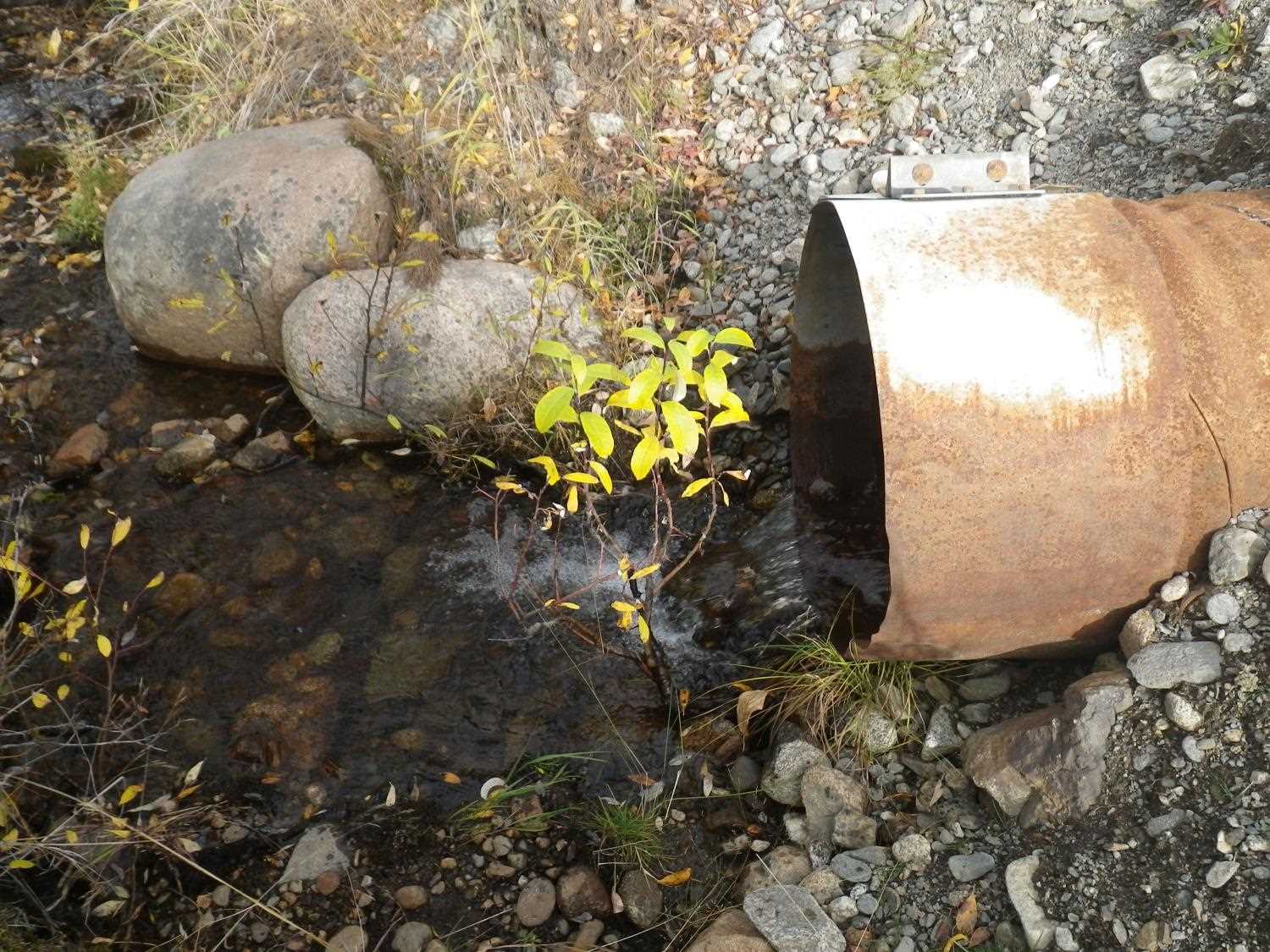
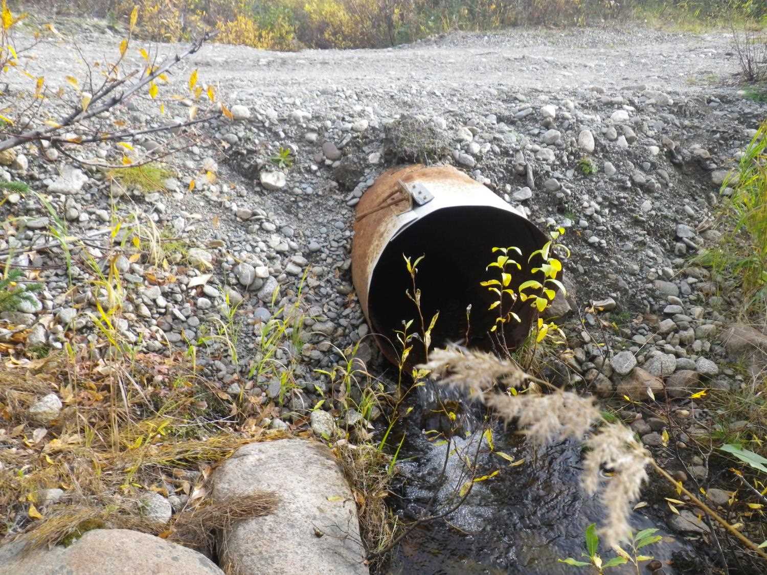
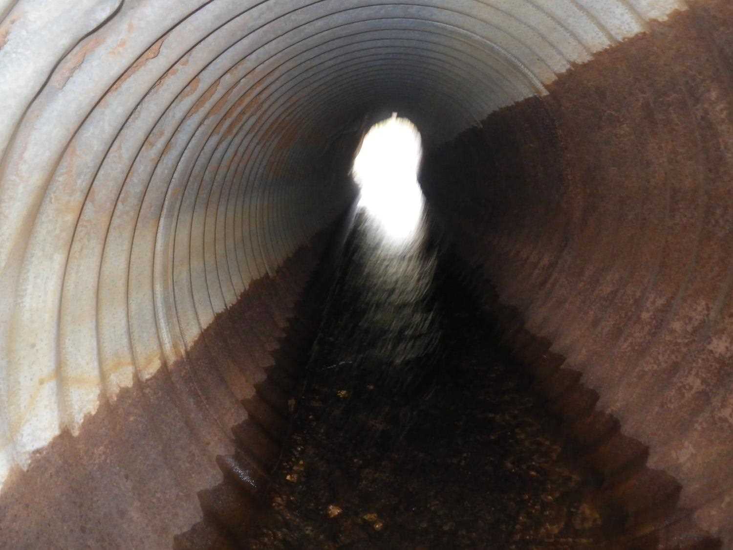
Comments: Inlet rusted all around; further down pipe, rust to 0.7'; site has washed out, pipe exposed for much of its length. **Updated site photos added from 9/20/16 site visit from Sampling Unmapped Streams in the MSB project. Fish sampling information entered into AFFI. Road has been repaired, it does not appear that the culvert was replaced, but it does look like a small extention has been added to the outlet . Cuvlert now has a small outfall.
Culvert Measurements
| ID: 1 | Structure Type: Circular pipe (Corrugated steel) | Fish Passage Rating: | |||||||||||||||||||||||||||||||||||||||||
|
|
|
|||||||||||||||||||||||||||||||||||||||||
Comments: Outfall height gray added from 9/20/16 site visit, see added photos. |
|||||||||||||||||||||||||||||||||||||||||||
Culvert Observations:
|
|||||||||||||||||||||||||||||||||||||||||||
Stream Measurements
|
|
| Stream Width Type | Distance From Crossing (ft) |
Stream Width (ft) |
|---|---|---|
| Upstream ordinary high water | 70.0 | 5.00 |
| Upstream ordinary high water | 100.0 | 6.50 |
| Upstream ordinary high water | 130.0 | 7.00 |
Elevations
| Locator ID | Culvert Number |
River Distance (ft)1 |
Distance From Crossing (ft)2 |
Relative Elevation (ft) |
|---|---|---|---|---|
| Outlet Pool Water Elev | 1 | 97.73 | ||
| U/S Headwater | 1 | 98.20 | ||
| D/S Grade Ctrl (Thalweg) | 1 | 0.00 | 35.0 | 97.25 |
| D/S Water Surface Elev (@GP) | 1 | 0.00 | 35.0 | 97.57 |
| D/S Tailcrest or 1st Thalweg | 1 | 21.00 | 14.0 | 97.52 |
| D/S Water Surface Elev (@TWC) | 1 | 21.00 | 14.0 | 97.73 |
| D/S Thalweg (bottom of out pool) | 1 | 31.50 | 3.5 | 96.82 |
| Outlet Invert | 1 | 35.00 | 0.0 | 97.30 |
| Road Elev | 1 | 48.50 | 99.71 | |
| Inlet Culvert Invert | 1 | 62.50 | 0.0 | 98.01 |
| U/S Thalweg (pool immed. u/s) | 1 | 62.50 | 0.0 | 97.47 |
Notes:
- River distance is measured continuously throughout the survey reach along the thalweg of the stream.
- Measured from each end of the crossing along the thalweg of the stream.
Fish Sampling Efforts
No fish sampling occurred during this survey.
Fish Observations
No fish observations occurred during this survey.
Photos

Questions or comments about this report can be directed to dfg.dsf.webmaster@alaska.gov