Fish Passage Site 20501244
Coordinates (dec. deg.): 61.76426°, -149.58820°
Legal Description: S019N002W02
Region: South Central
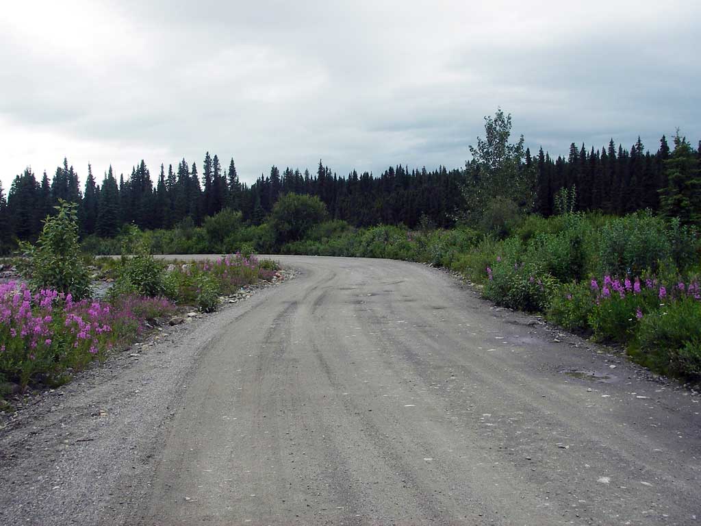
Road Name: Willow Fishhook Road
Datum: WGS84
Quad Name / ITM: Anchorage D-7
AWC Stream #:
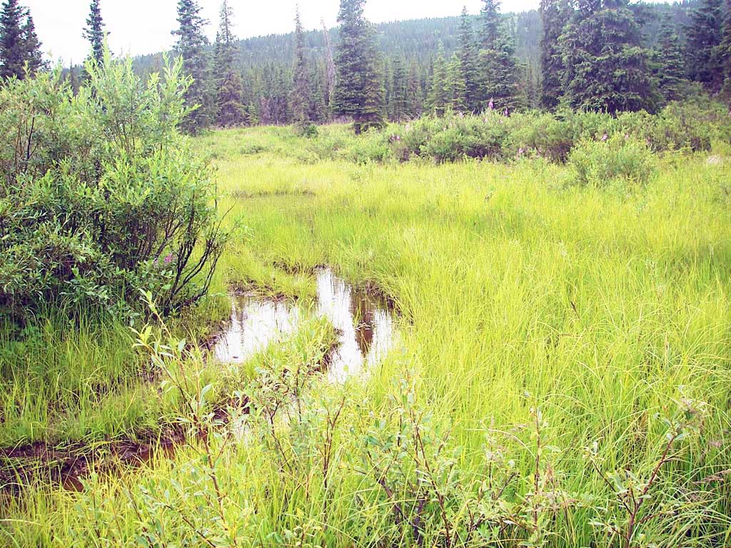
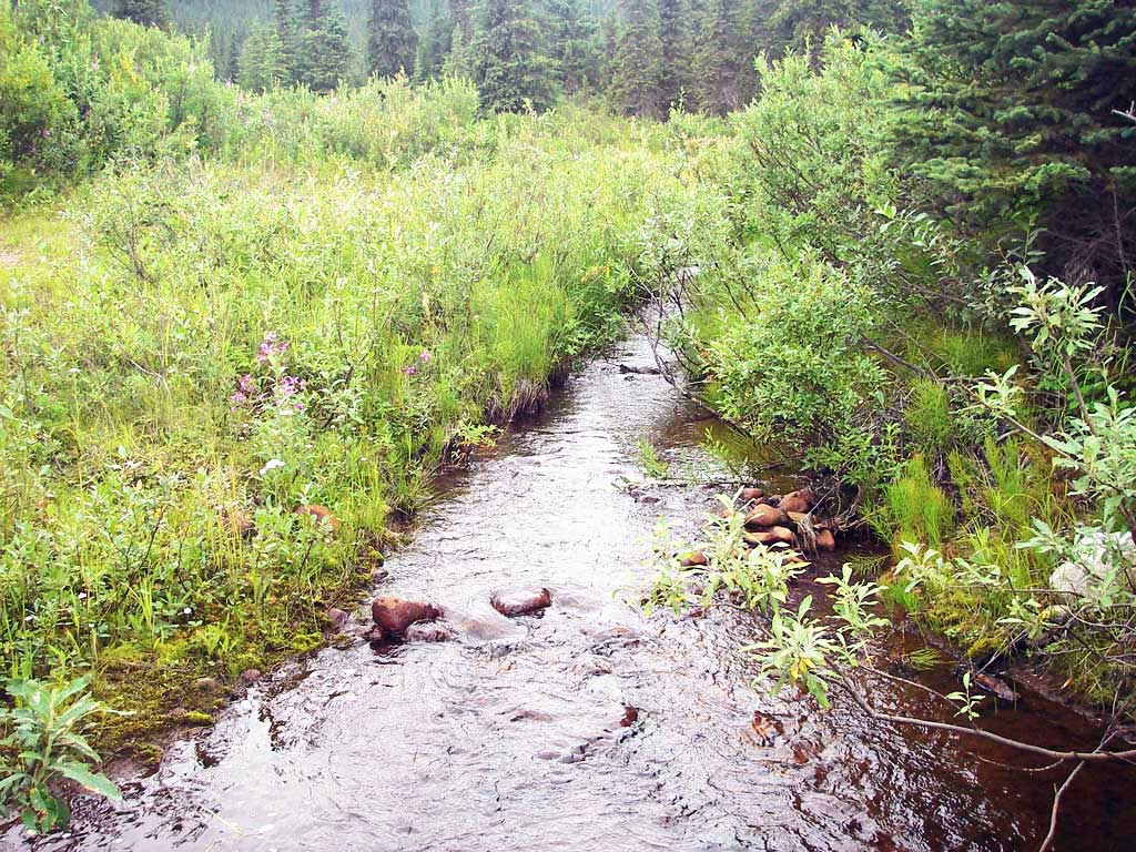
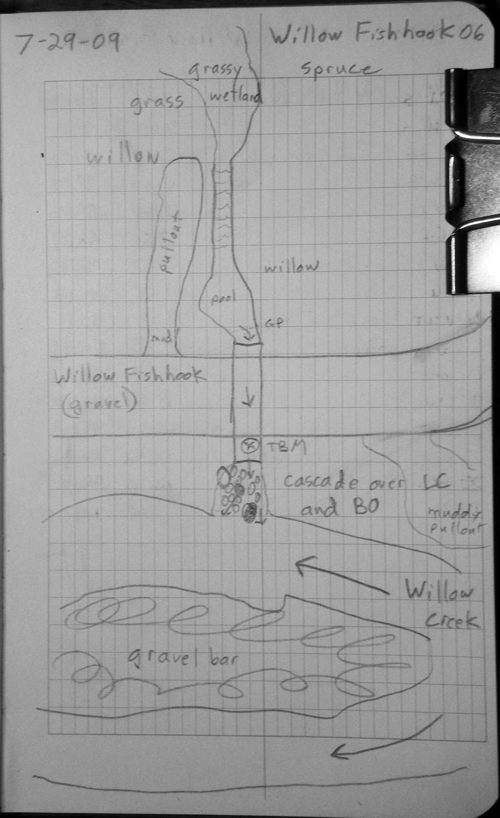
Stream Name: Willow Creek tributary
Elevation:
Site Comments: None
arrow to the right of the survey date below to choose a different report for this site.
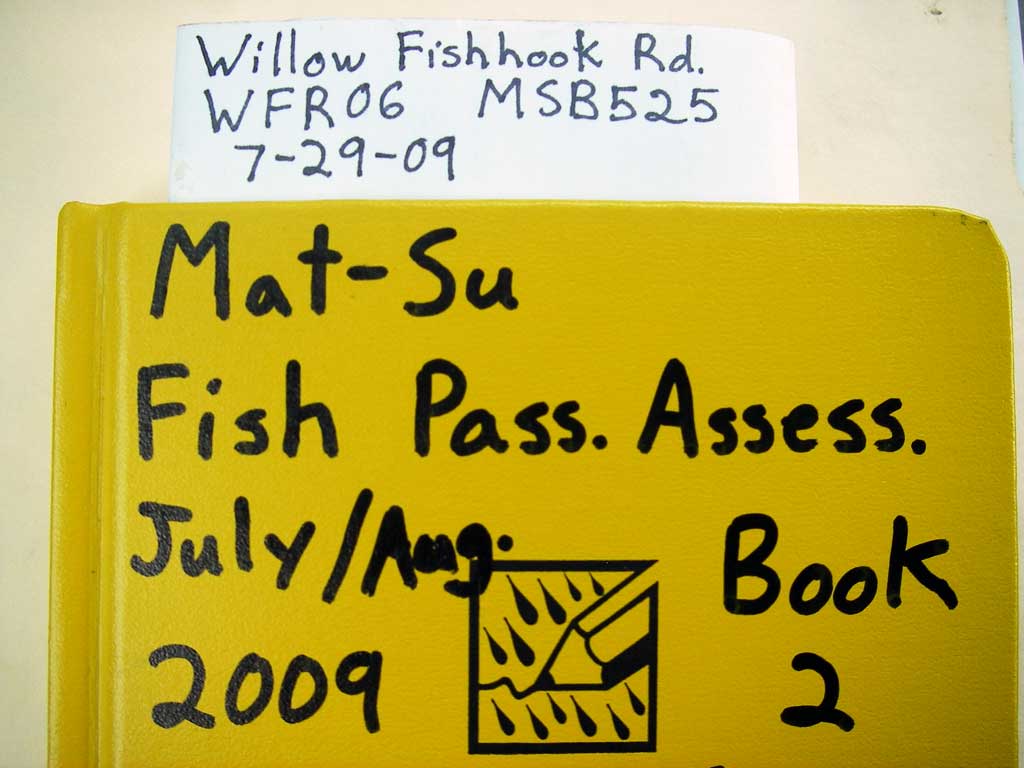
Survey MSB09-WFR06
Project Supervisor: Gillian O'Doherty, ADFG
Observers: Heidi Zimmer, Ben Histand
Overall Fish Passage Rating:
Tidal: No
Backwatered: No
Step Pools: No
Construction Year:
Site Observations:
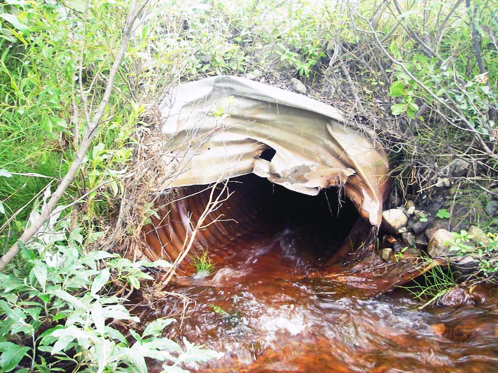
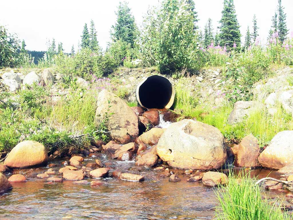
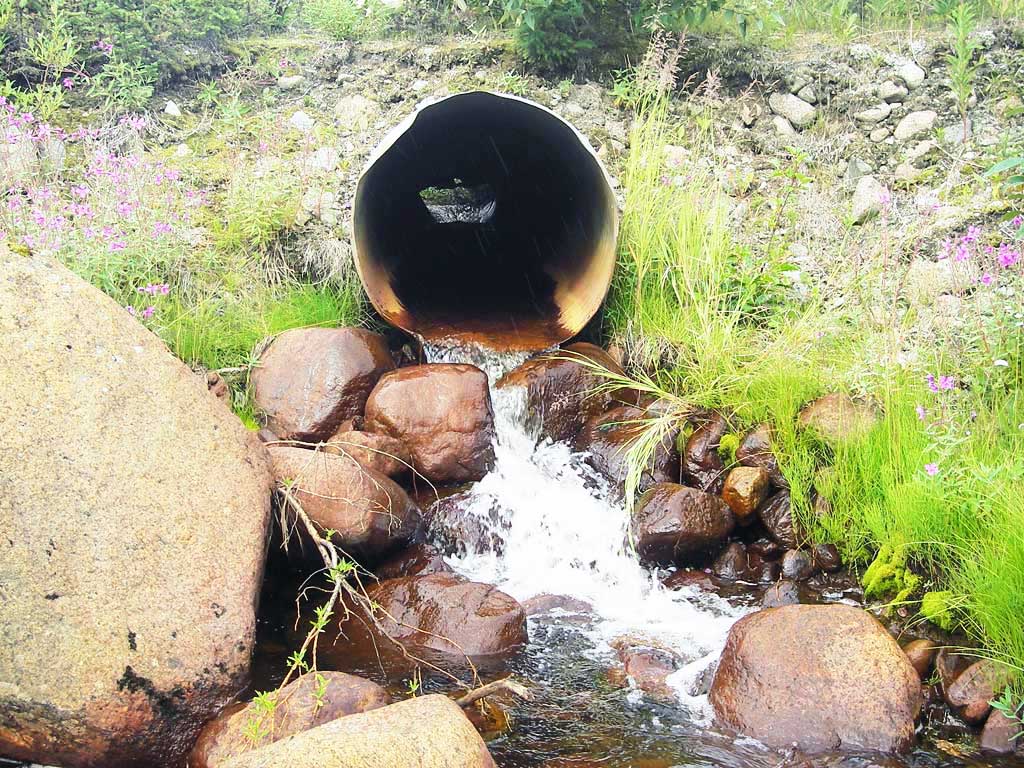
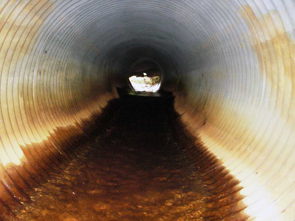
- Outfall height red
- Culvert gradient red
- Inlet perch
- Mechanical damage or joints parting
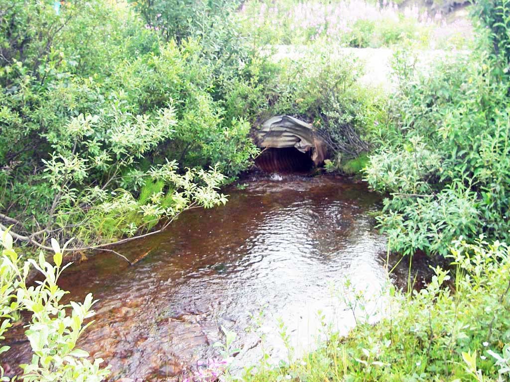
Comments: Inlet end badly bent; gradient calc'd using -1.8 u/s pro for invert in (bottom of inlet perch)
Culvert Measurements
| ID: 1 | Structure Type: Circular pipe (Corrugated steel) | Fish Passage Rating: | |||||||||||||||||||||||||||||||||||||||||
|
|
|
|||||||||||||||||||||||||||||||||||||||||
Culvert Observations:
|
|||||||||||||||||||||||||||||||||||||||||||
Stream Measurements
|
|
No stream width data available.
Elevations
| Locator ID | Culvert Number |
River Distance (ft)1 |
Distance From Crossing (ft)2 |
Relative Elevation (ft) |
|---|---|---|---|---|
| U/S Headwater (at end of pipe) | 1 | 98.60 | ||
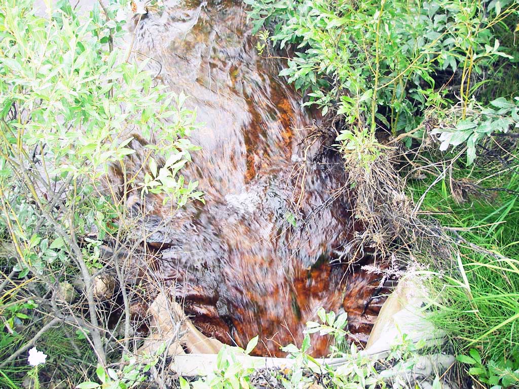
| D/S Thalweg (confluence w/Willow Cr) | 1 | 0.00 | 22.0 | 93.72 |
| D/S Water Surface Elev | 1 | 0.00 | 22.0 | 94.14 |
| D/S Tailcrest or 1st Thalweg (TC of out pool) | 1 | 14.00 | 8.0 | 95.10 |
| Outlet Pool Water Elev (WS @ outlet pool) | 1 | 14.00 | 8.0 | 95.48 |
| D/S Thalweg (bottom of out pool) | 1 | 15.00 | 7.0 | 94.56 |
| D/S Thalweg (bottom of cascade) | 1 | 18.50 | 3.5 | 94.93 |
| Outlet Invert | 1 | 22.00 | 0.0 | 97.11 |
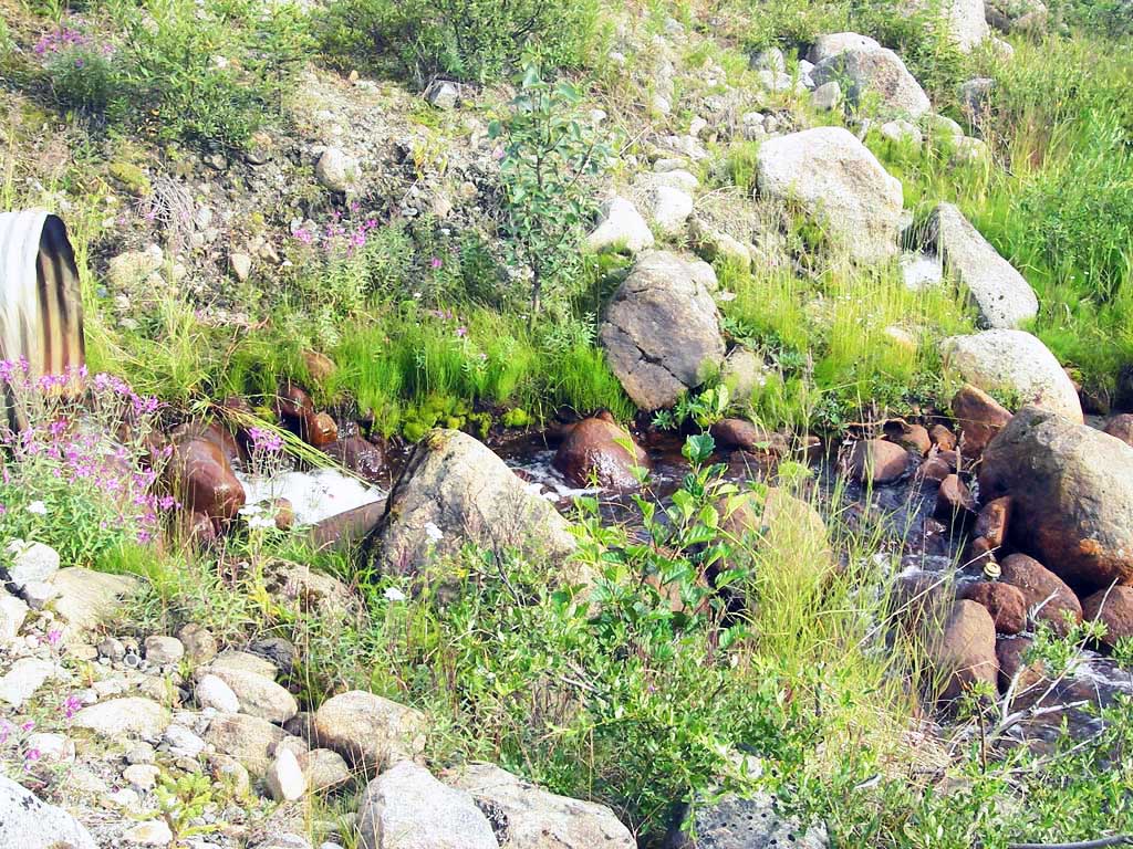
| Road Elev | 1 | 41.50 | 101.68 | |
| U/S Thalweg (near bottom of inlet perch (use as invert for slope)) | 1 | 60.10 | -1.8 | 97.96 |
| U/S Water Surface Elev (turbulent (@u/s pro)) | 1 | 60.10 | -1.8 | 98.17 |
| Inlet Culvert Invert (end of pipe) | 1 | 61.90 | 0.0 | 98.36 |
| U/S Grade Ctrl (Thalweg) (1st TC u/s) | 1 | 65.90 | 4.0 | 98.69 |
| U/S Water Surface Elev (WS @ GP) | 1 | 65.90 | 4.0 | 98.92 |
Notes:
- River distance is measured continuously throughout the survey reach along the thalweg of the stream.
- Measured from each end of the crossing along the thalweg of the stream.
Fish Sampling Efforts
| Gear Type: Minnow Trap (A) | Trap Duration(h): 1.0 | |
| Comments: no fish caught; 100ft u/s; heavy iron stain in creek | ||
Fish Observations
No fish observations occurred during this survey.
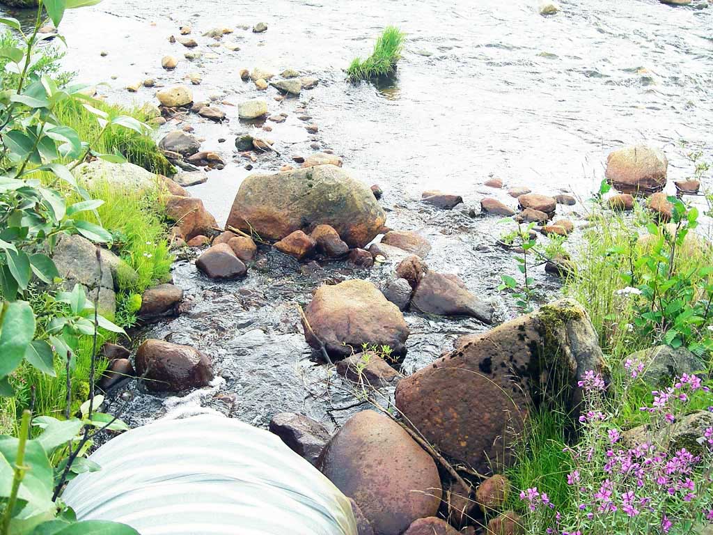
Photos
Questions or comments about this report can be directed to dfg.dsf.webmaster@alaska.gov