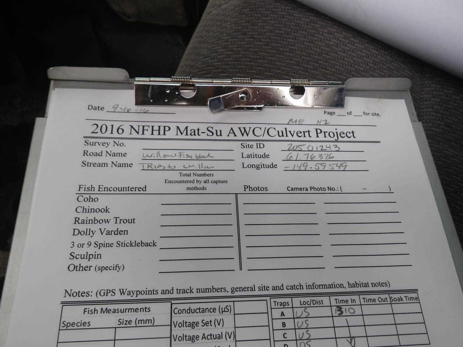
Fish Passage Site 20501243
Coordinates (dec. deg.): 61.76380°, -149.59566°
Legal Description: S019N002W02
Region: South Central
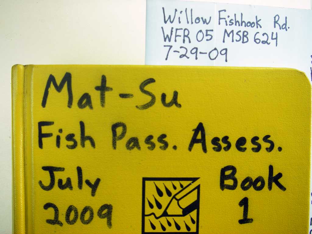
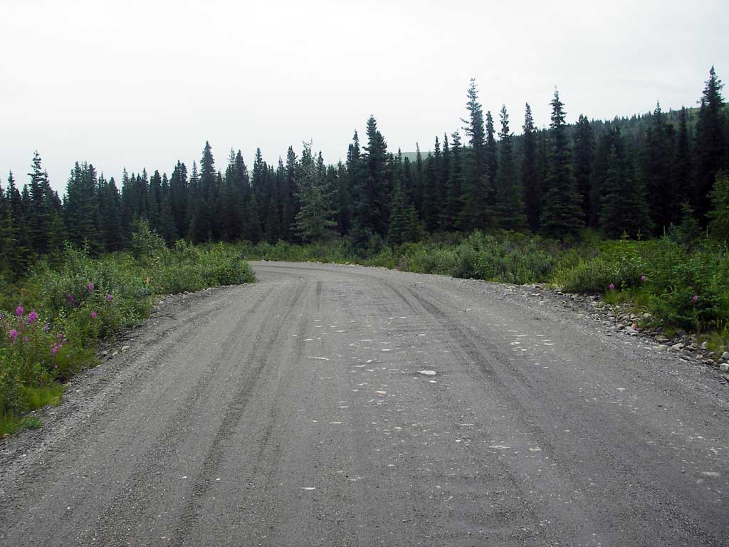
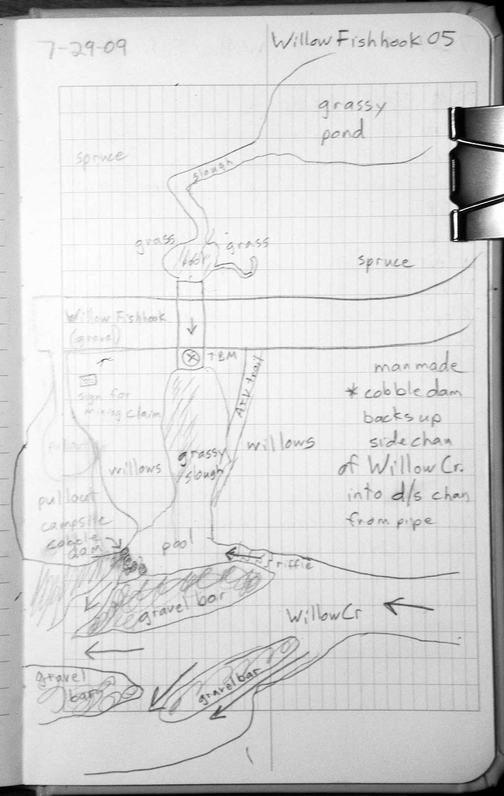
Road Name: Willow Fishhook Road
Datum: WGS84
Quad Name / ITM: Anchorage D-7
AWC Stream #:
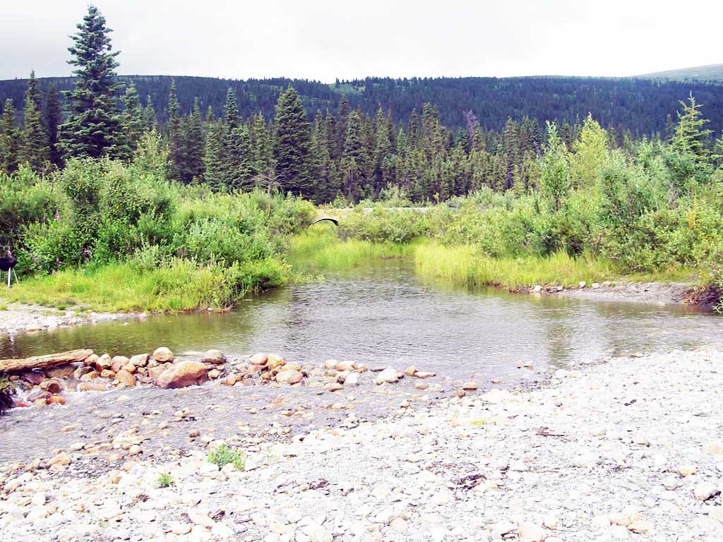
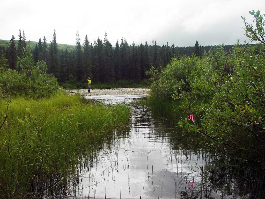
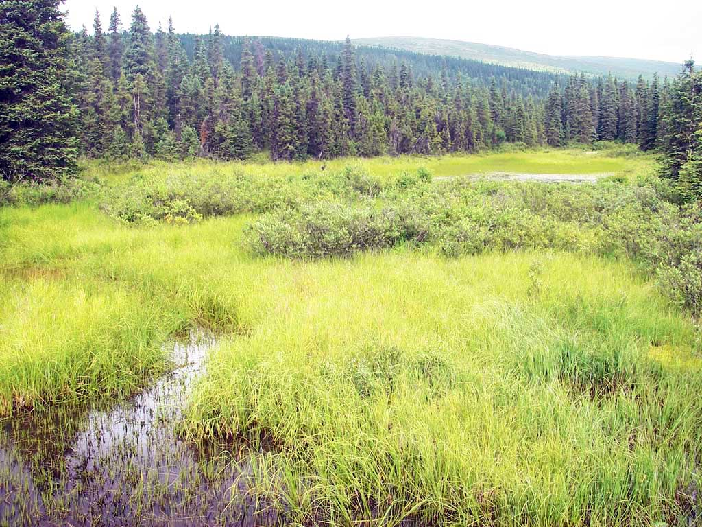
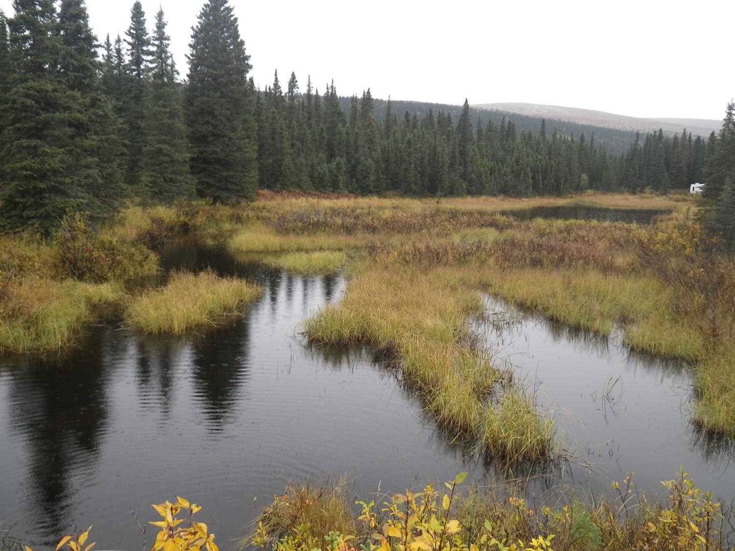
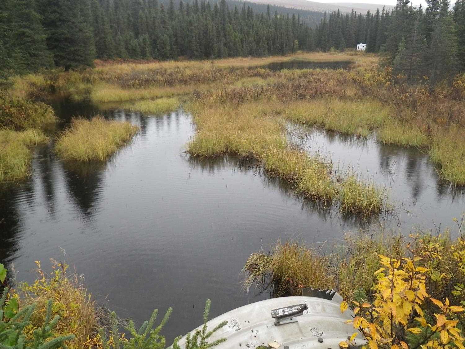
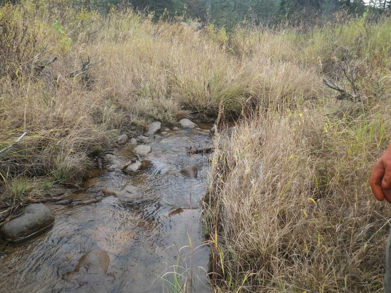
Stream Name: Willow Creek tributary
Elevation:
Site Comments: None
Survey MSB09-WFR05
Project Supervisor: Gillian O'Doherty, ADFG
Observers: Heidi Zimmer, Ben Histand
Overall Fish Passage Rating:
Tidal: No
Backwatered: Yes
Step Pools: No
Construction Year:
Site Observations:
- None of this type
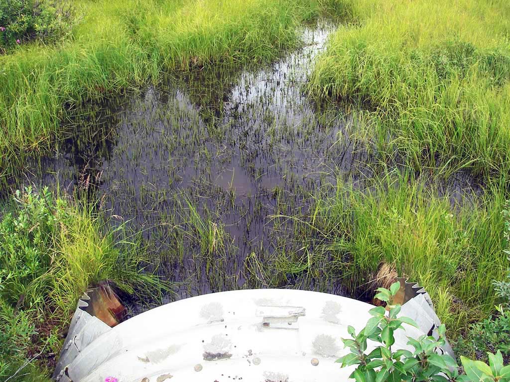
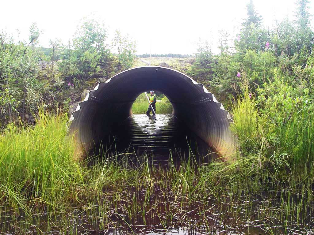
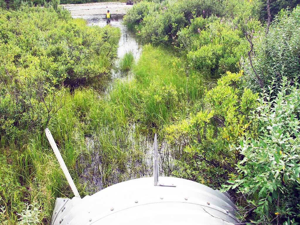
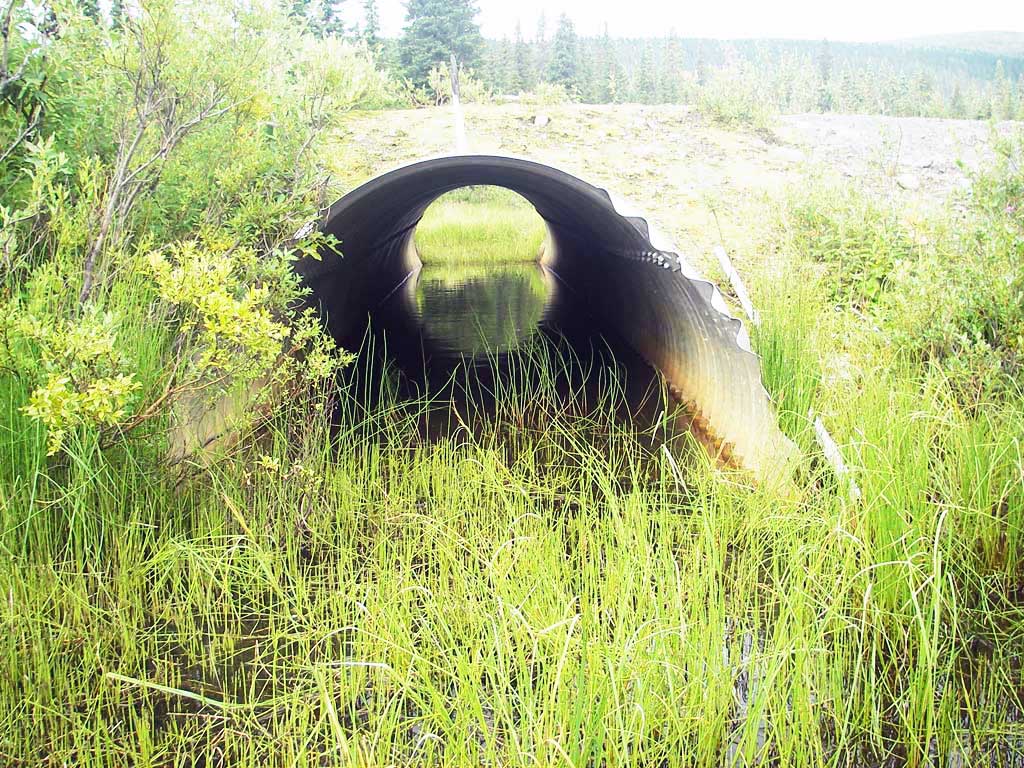
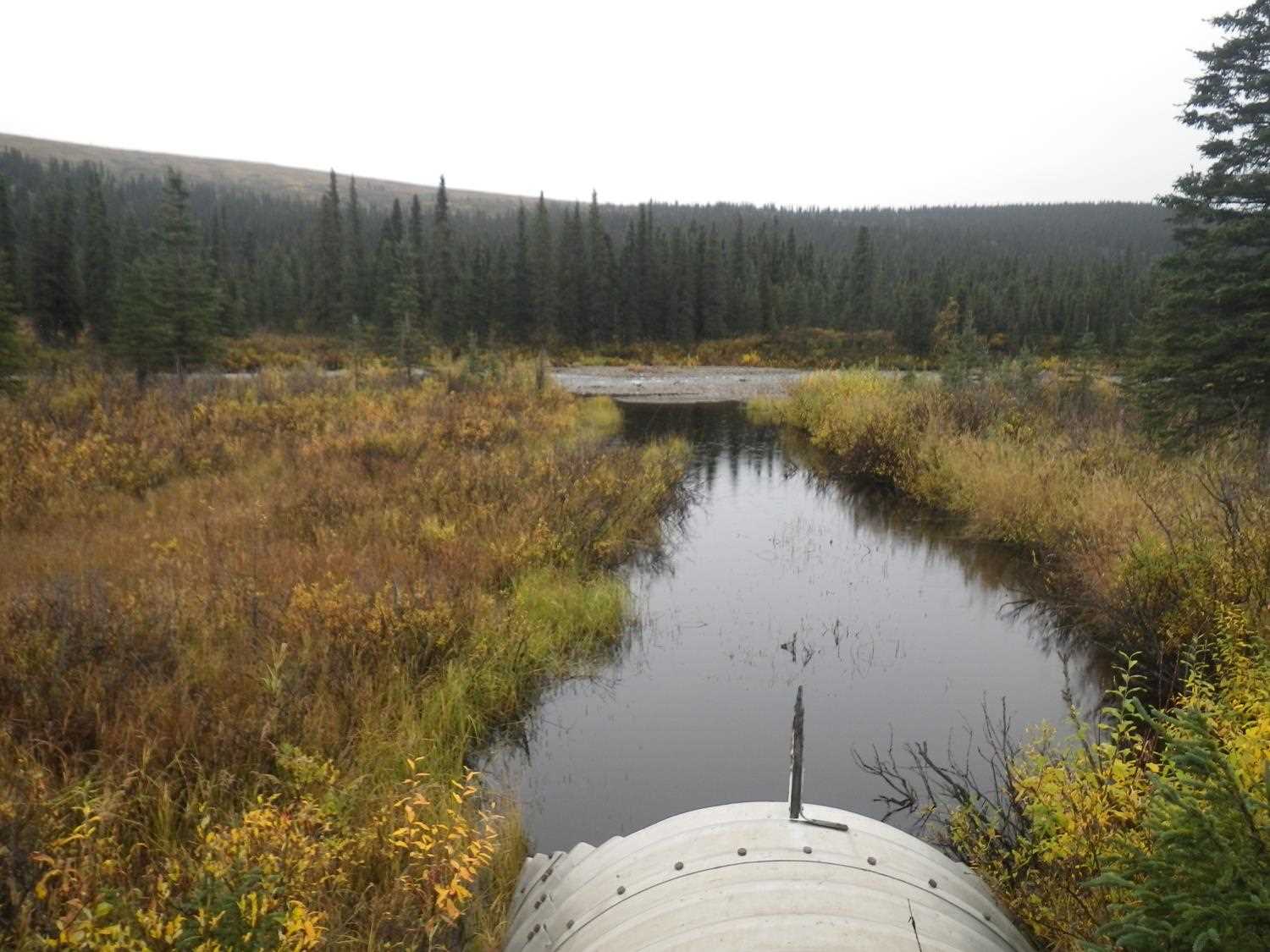
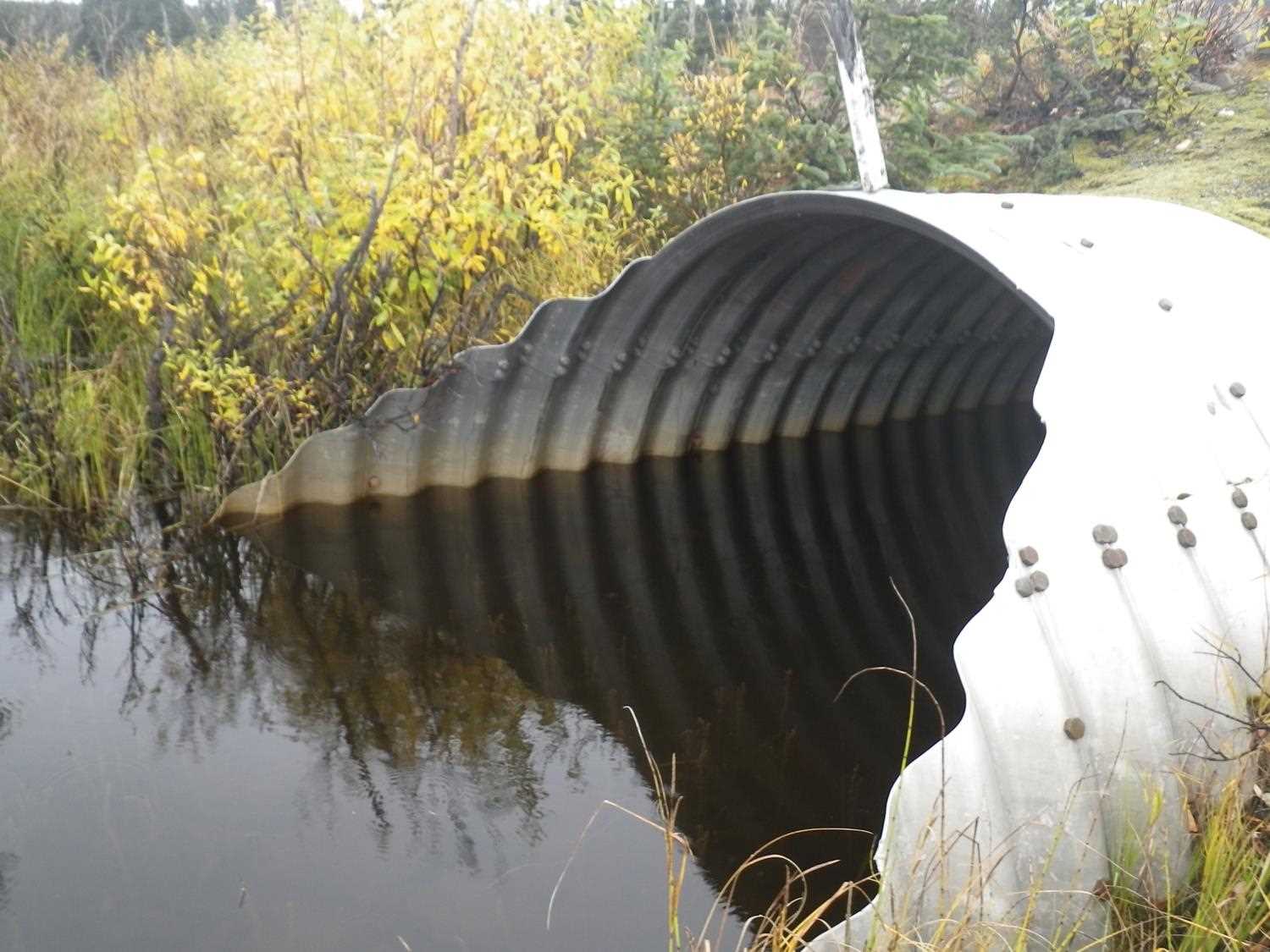
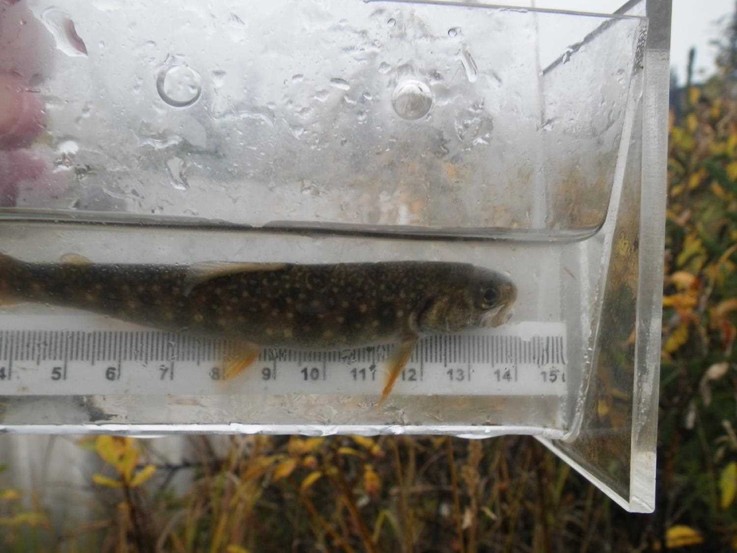
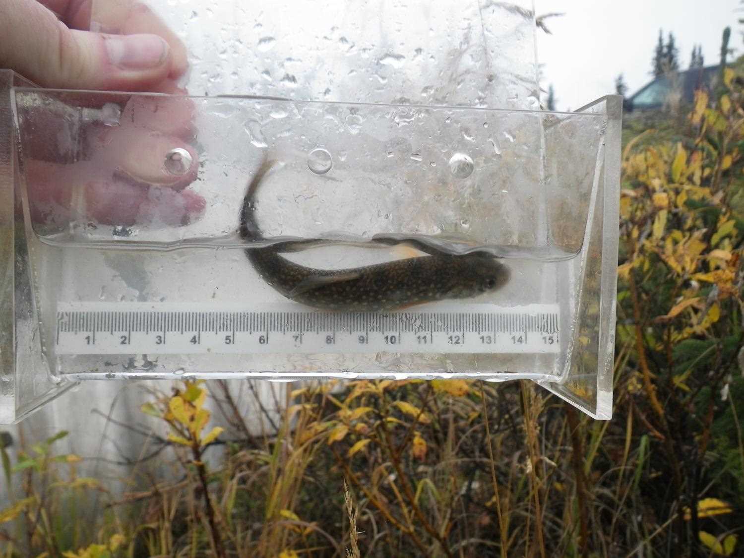
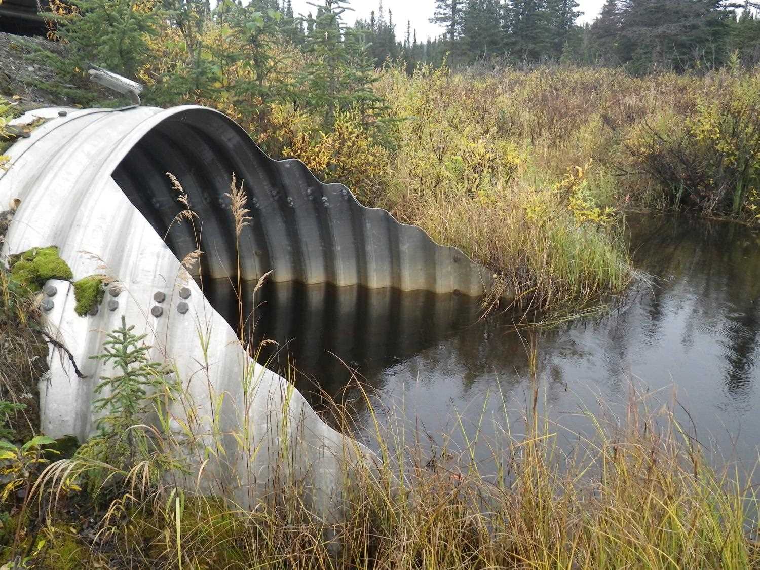
Comments: Miter length = 6.5' at each end. ***Updated site photosadded from 9/16/16 site visit from Sampling Unmapped Streams in the MSB project. Fish sampling data from 9/16 and 9/20 in AFFI.
Culvert Measurements
| ID: 1 | Structure Type: Pipe-arch (Structural steel plate) | Fish Passage Rating: | |||||||||||||||||||||||||||||||||||||||||
|
|
|
|||||||||||||||||||||||||||||||||||||||||
Comments: Miter length = 6.5' at each end. |
|||||||||||||||||||||||||||||||||||||||||||
Culvert Observations:
|
|||||||||||||||||||||||||||||||||||||||||||
Stream Measurements
|
|
No stream width data available.
Elevations
| Locator ID | Culvert Number |
River Distance (ft)1 |
Distance From Crossing (ft)2 |
Relative Elevation (ft) |
|---|---|---|---|---|
| D/S Water Surface Elev (d/s WS) | 1 | 0.00 | 55.0 | 95.14 |
| Outlet Pool Water Elev | 1 | 55.00 | 95.14 | |
| Outlet Invert (end of pipe - on substrate) | 1 | 55.00 | 0.0 | 93.98 |
| D/S Thalweg (invert @ top of miter) | 1 | 61.50 | -6.5 | 93.45 |
| Road Elev | 1 | 85.00 | 101.56 | |
| U/S Thalweg (invert @ top of miter (miter is 6.5' long)) | 1 | 109.00 | -6.5 | 93.77 |
| Inlet Culvert Invert (end of pipe - on substrate) | 1 | 115.50 | 0.0 | 94.32 |
| U/S Headwater | 1 | 115.50 | 95.14 | |
| U/S Grade Ctrl (Thalweg) (1st TC u/s) | 1 | 117.50 | 2.0 | 94.67 |
Notes:
- River distance is measured continuously throughout the survey reach along the thalweg of the stream.
- Measured from each end of the crossing along the thalweg of the stream.
Fish Sampling Efforts
| Gear Type: Minnow Trap (A) | Trap Duration(h): 1.5 | |
| Comments: no fish caught; 50ft u/s | ||
| Gear Type: Minnow Trap (B) | Trap Duration(h): 1.5 | |
| Comments: no fish caught; 60ft d/s | ||
Fish Observations
No fish observations occurred during this survey.
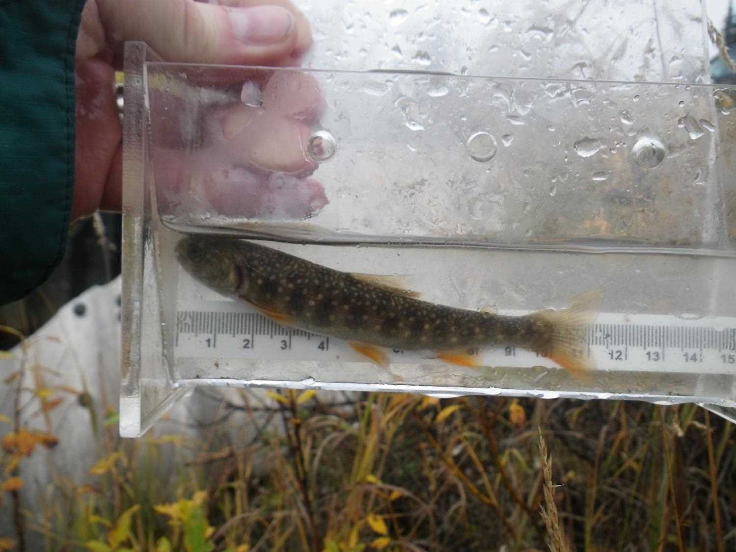
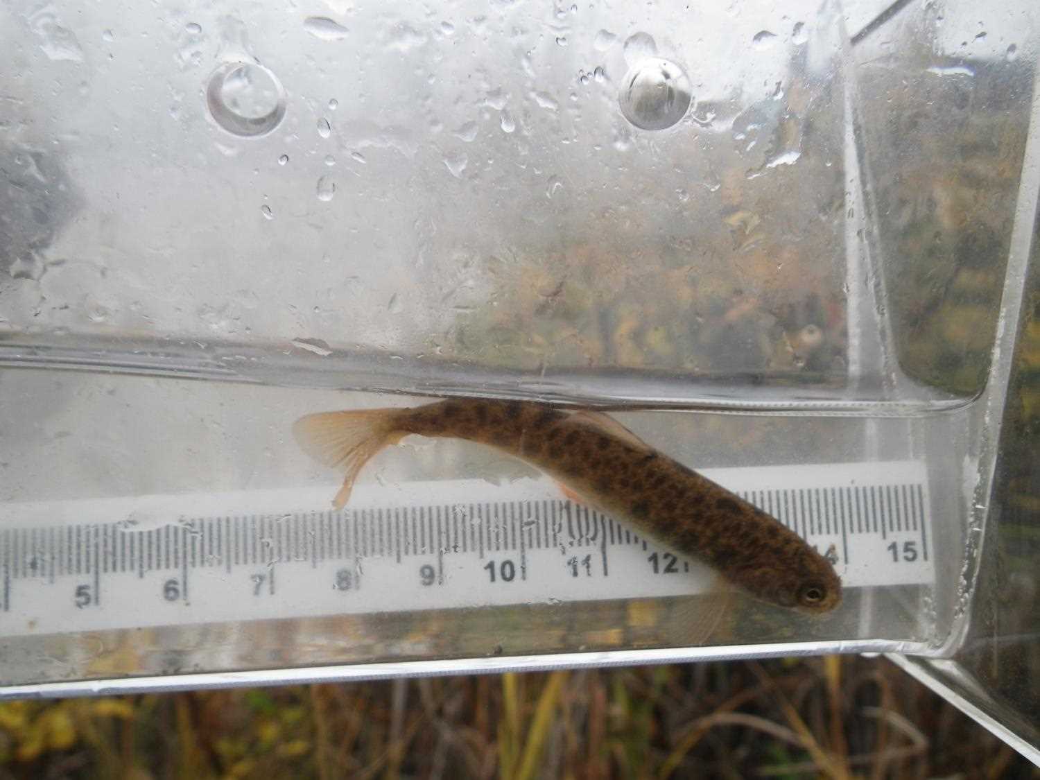
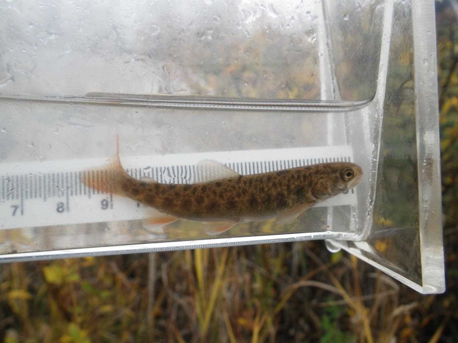
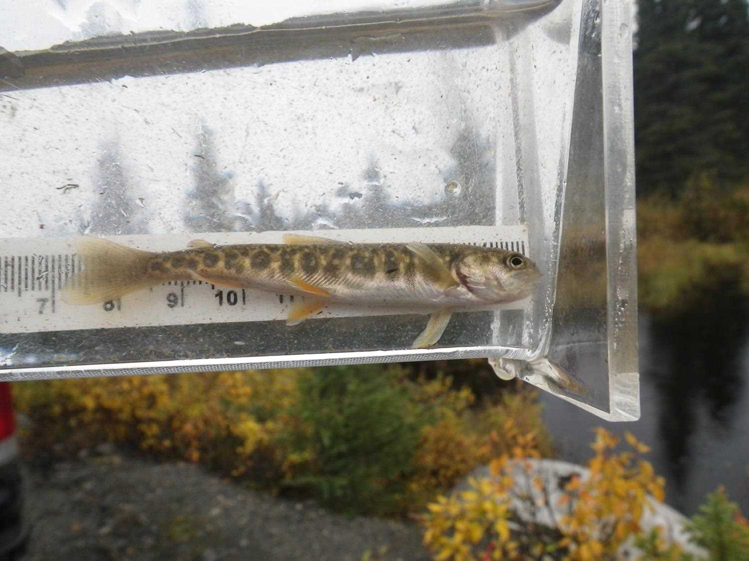
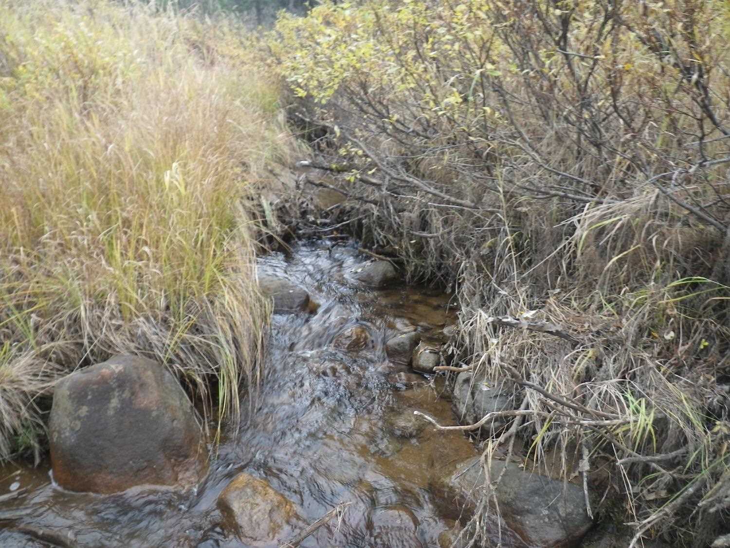
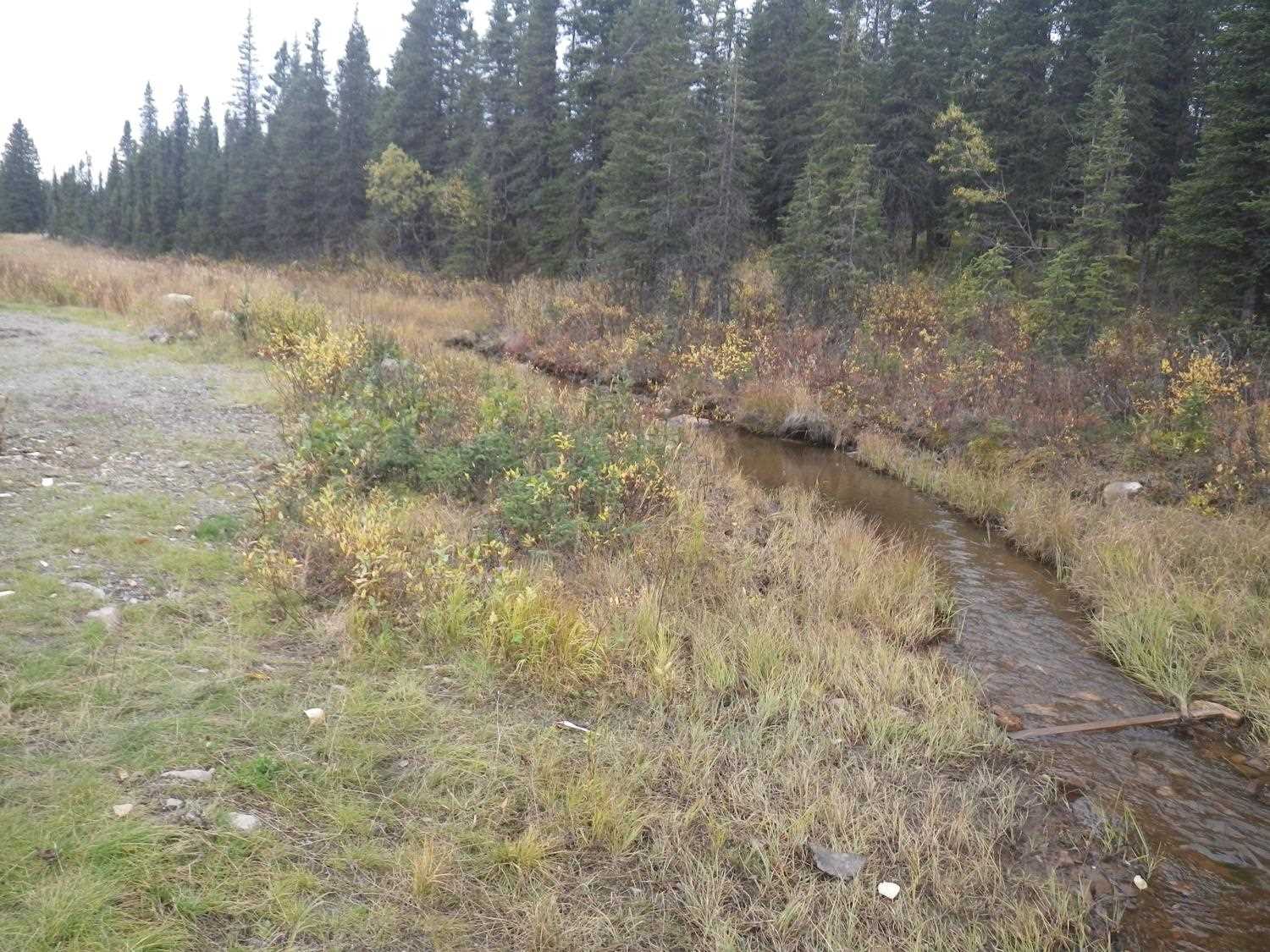
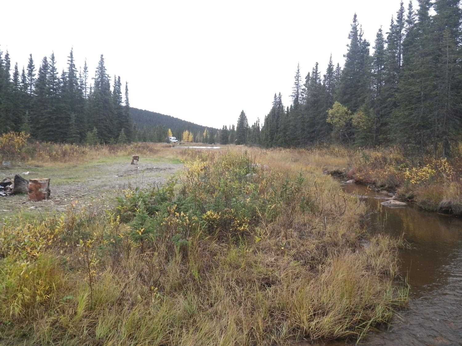
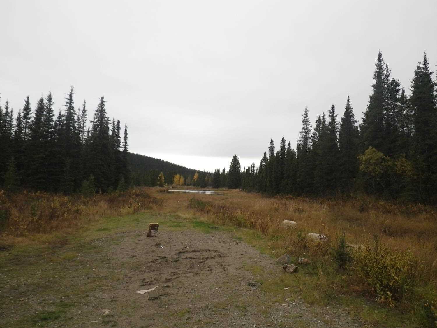
Photos
Questions or comments about this report can be directed to dfg.dsf.webmaster@alaska.gov