Fish Passage Site 20501242
Coordinates (dec. deg.): 61.76444°, -149.59810°
Legal Description: S019N002W02
Region: South Central
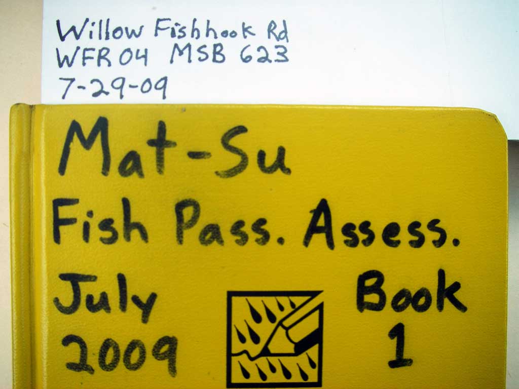
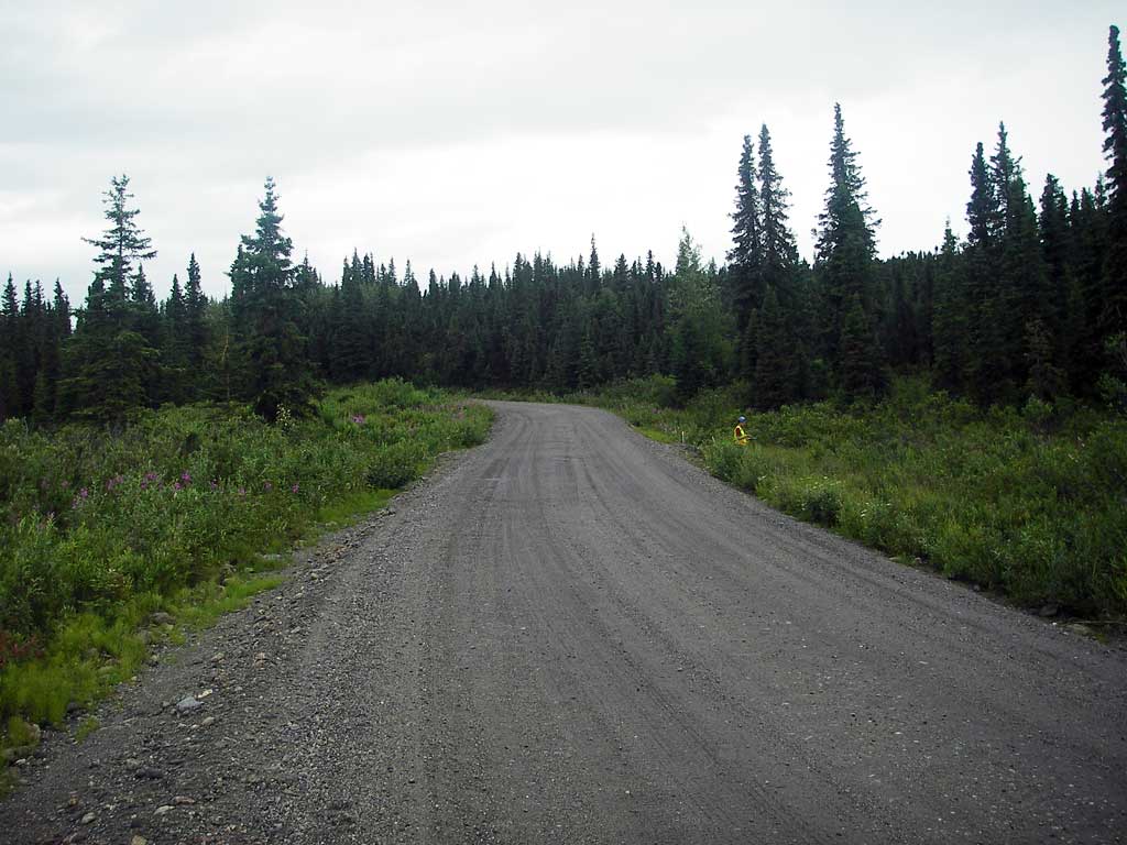
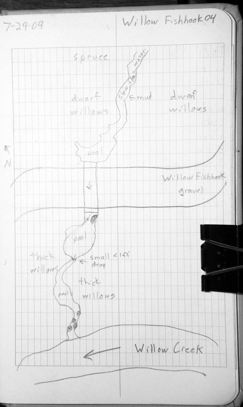
Road Name: Willow Fishhook Road
Datum: WGS84
Quad Name / ITM: Anchorage D-7
AWC Stream #:
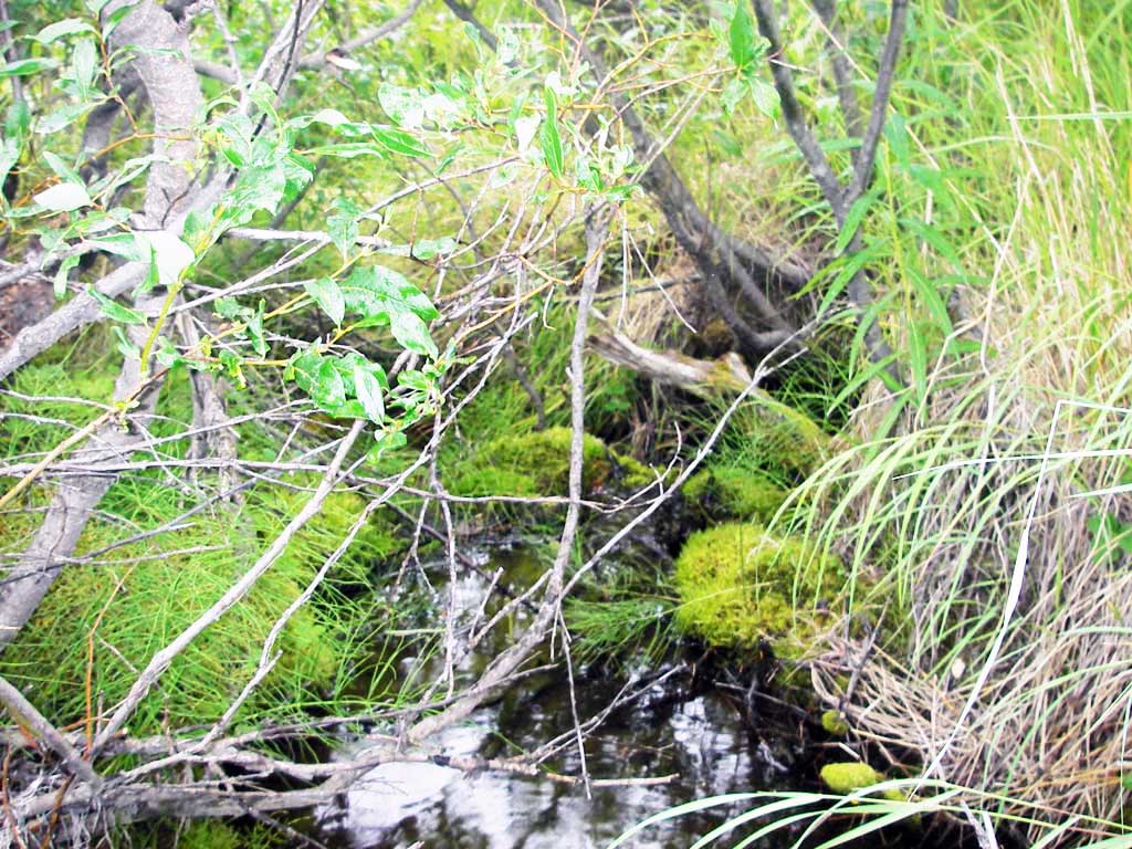
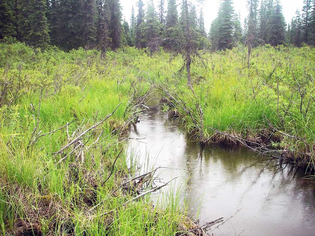
Stream Name: Willow Creek tributary
Elevation:
Site Comments: None
arrow to the right of the survey date below to choose a different report for this site.
Survey MSB09-WFR04
Project Supervisor: Gillian O'Doherty, ADFG
Observers: Heidi Zimmer, Ben Histand
Overall Fish Passage Rating:
Tidal: No
Backwatered: No
Step Pools: No
Construction Year:
Site Observations:
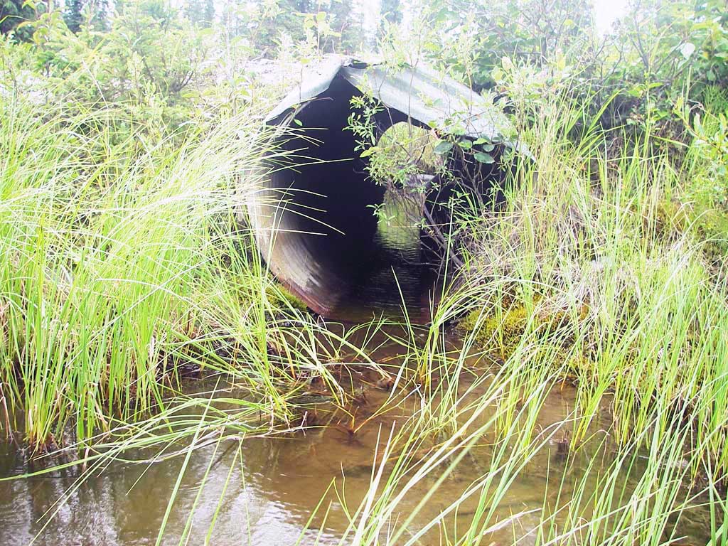
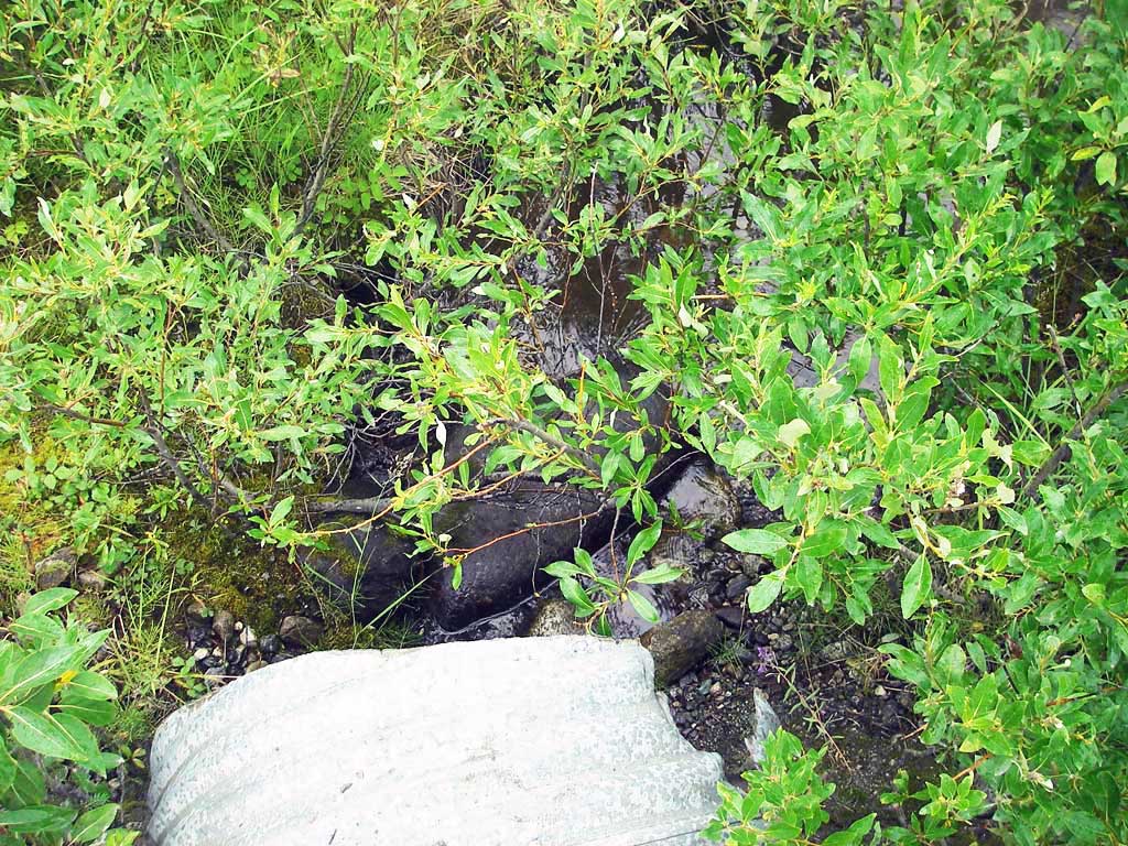
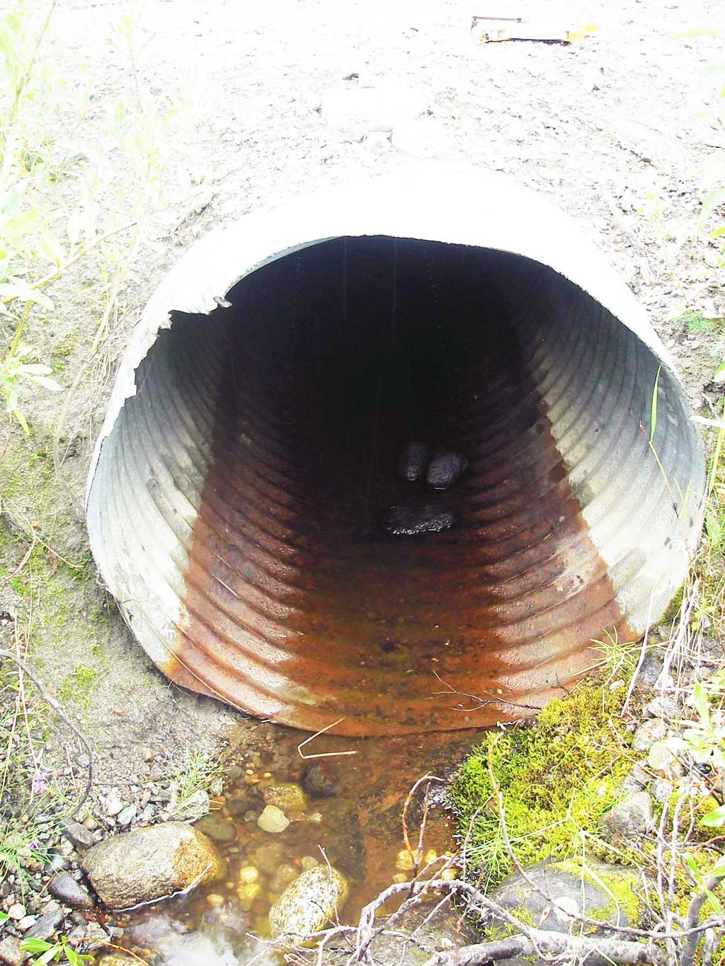
- Shallow fill; inadequate roadfill volume above culvert
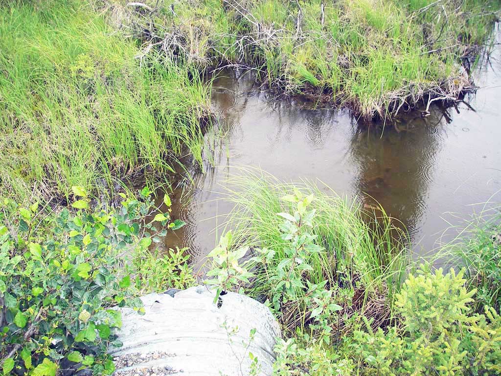
Comments: D/s chan has 2 drops between boulders that may be natural barriers.
Culvert Measurements
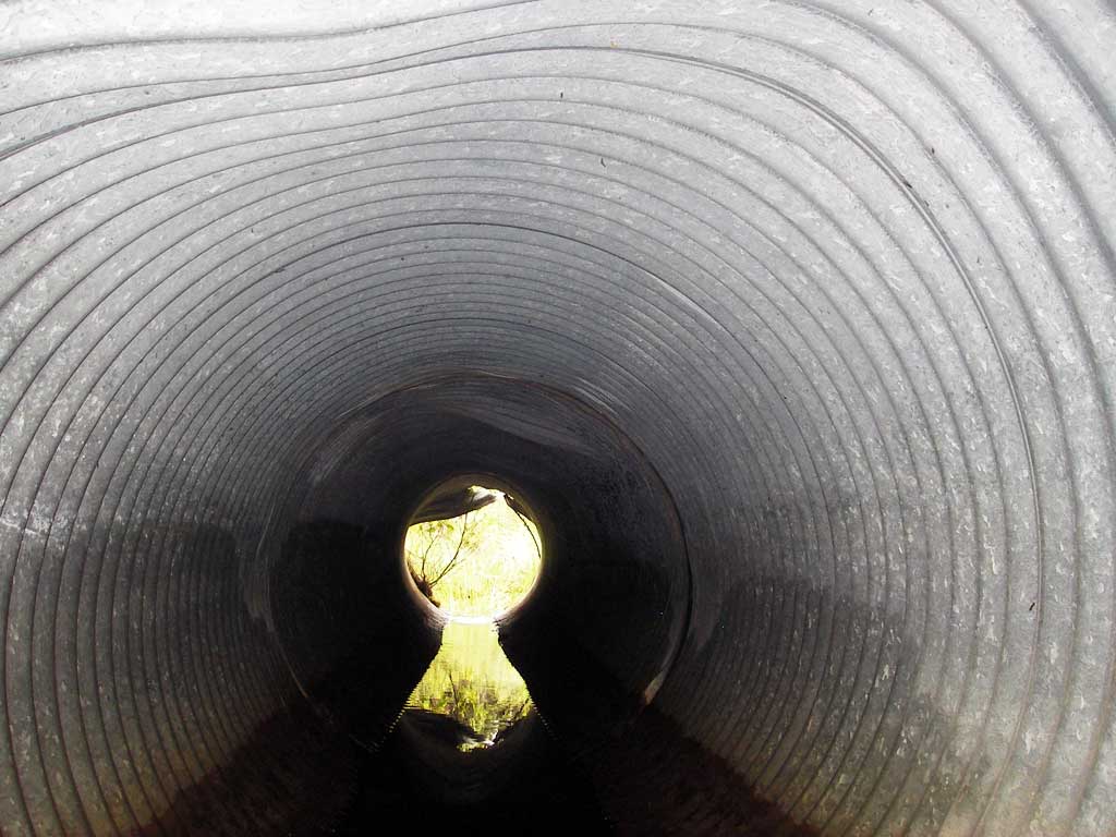
| ID: 1 | Structure Type: Circular pipe (Corrugated steel) | Fish Passage Rating: | |||||||||||||||||||||||||||||||||||||||||
|
|
|
|||||||||||||||||||||||||||||||||||||||||
Culvert Observations:
|
|||||||||||||||||||||||||||||||||||||||||||
Stream Measurements
|
|
| Stream Width Type | Distance From Crossing (ft) |
Stream Width (ft) |
|---|---|---|
| Upstream ordinary high water | 51.0 | 3.50 |
| Upstream ordinary high water | 96.0 | 3.00 |
| Upstream ordinary high water | 120.0 | 2.50 |
Elevations
| Locator ID | Culvert Number |
River Distance (ft)1 |
Distance From Crossing (ft)2 |
Relative Elevation (ft) |
|---|---|---|---|---|
| D/S Grade Ctrl (Thalweg) | 1 | 0.00 | 16.0 | 96.05 |
| D/S Water Surface Elev (@GP) | 1 | 0.00 | 16.0 | 97.11 |
| D/S Tailcrest or 1st Thalweg | 1 | 13.00 | 3.0 | 97.12 |
| D/S Water Surface Elev (@TWC) | 1 | 13.00 | 3.0 | 97.16 |
| D/S Thalweg (bottom of pool) | 1 | 14.50 | 1.5 | 96.91 |
| Outlet Invert | 1 | 16.00 | 0.0 | 97.07 |
| Outlet Pool Water Elev | 1 | 16.00 | 0.0 | 97.16 |
| Road Elev | 1 | 30.50 | 100.31 | |
| Inlet Culvert Invert | 1 | 45.60 | 0.0 | 97.17 |
| U/S Headwater (pool immed. u/s of inlet) | 1 | 45.60 | 0.0 | 97.27 |
Notes:
- River distance is measured continuously throughout the survey reach along the thalweg of the stream.
- Measured from each end of the crossing along the thalweg of the stream.
Fish Sampling Efforts
| Gear Type: Minnow Trap (A) | Trap Duration(h): 1.0 | |
| Comments: no fish caught; 100ft u/s | ||
| Gear Type: Minnow Trap (B) | Trap Duration(h): 1.0 | |
| Comments: no fish caught; 15ft d/s | ||
Fish Observations
No fish observations occurred during this survey.
Photos
Questions or comments about this report can be directed to dfg.dsf.webmaster@alaska.gov