Fish Passage Site 20501241
Coordinates (dec. deg.): 61.76481°, -149.61507°
Legal Description: S019N002W03
Region: South Central
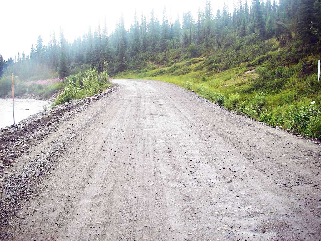
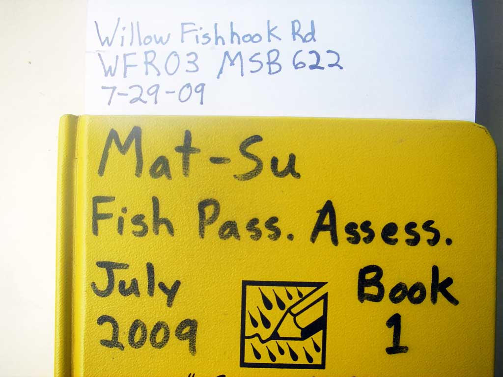
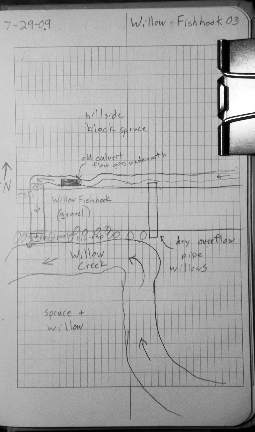
Road Name: Willow Fishhook Road
Datum: WGS84
Quad Name / ITM: Anchorage D-7
AWC Stream #:
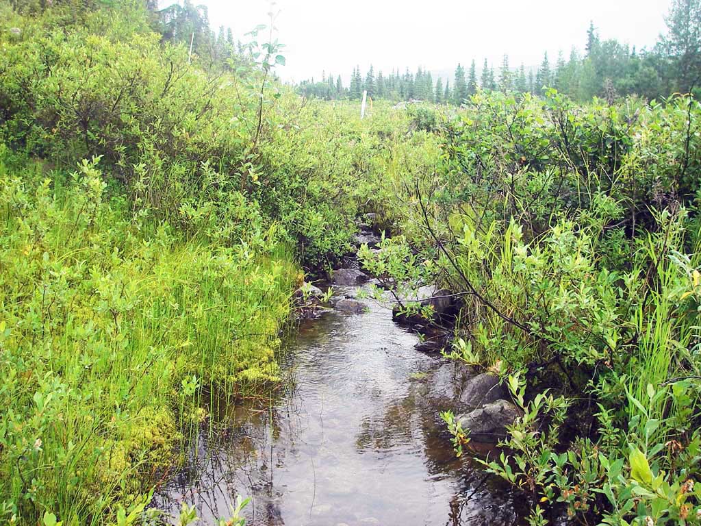
Stream Name: Willow Creek tributary
Elevation:
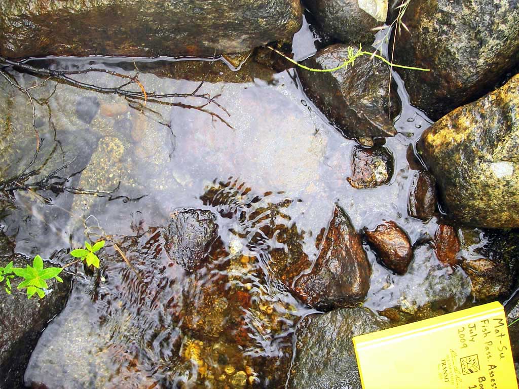
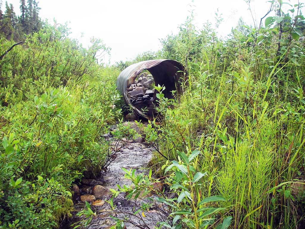
Site Comments: 4.09' to Willow Creek
Survey MSB09-WFR03
Project Supervisor: Gillian O'Doherty, ADFG
Observers: Heidi Zimmer, Ben Histand
Overall Fish Passage Rating:
Tidal: No
Backwatered: No
Step Pools: No
Construction Year:
Site Observations:
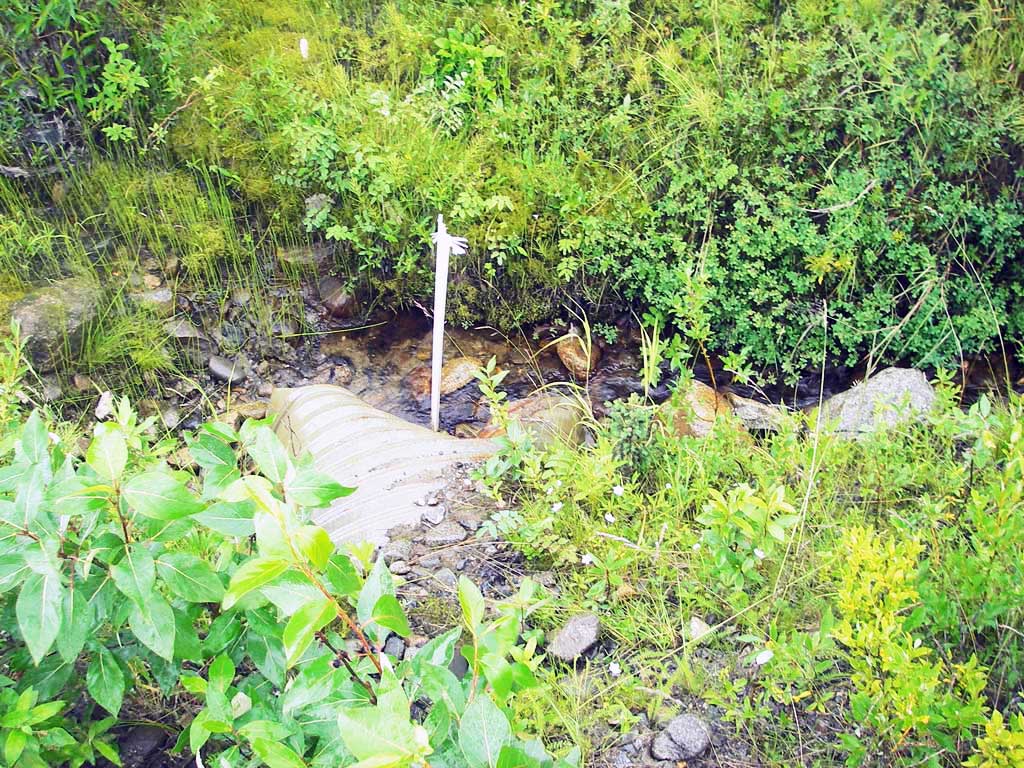
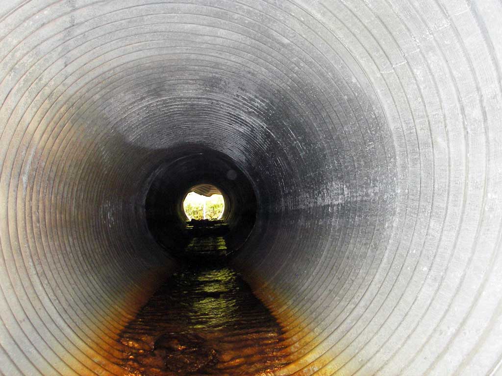
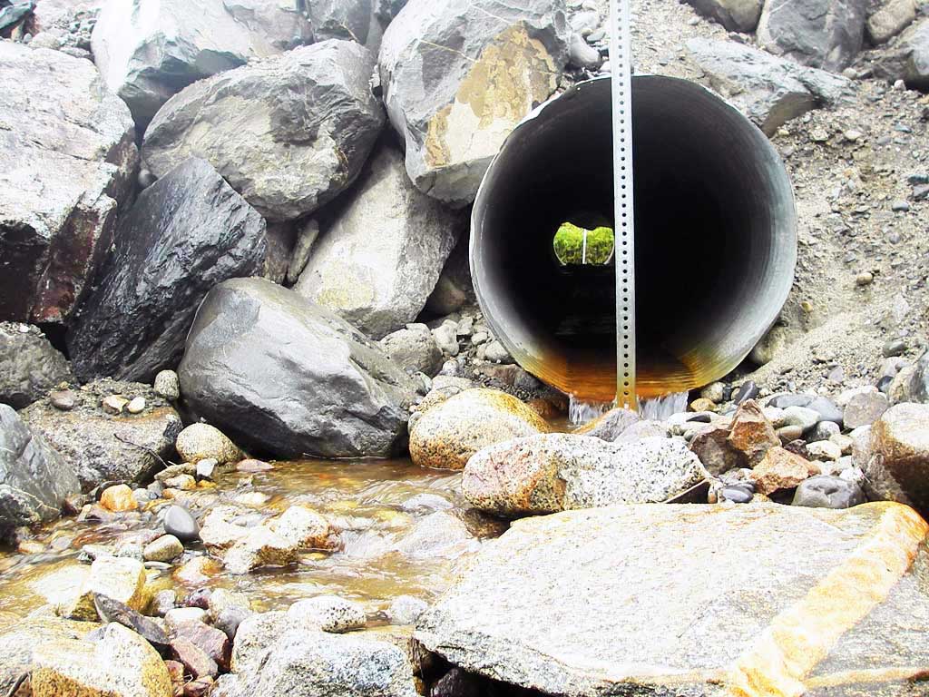
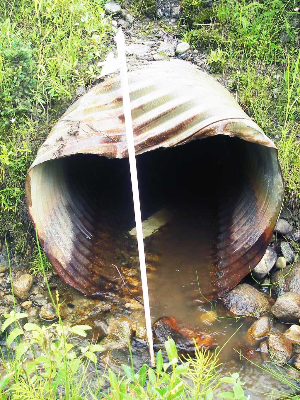
- Outfall height red
- Culvert gradient red
- Compound gradient in pipe
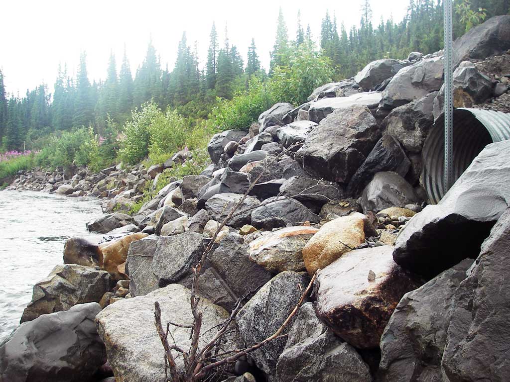
- Shallow fill; inadequate roadfill volume above culvert
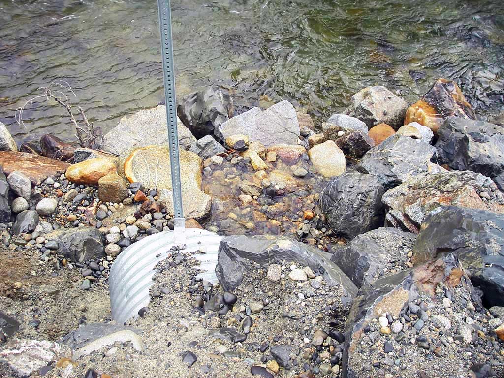
Comments: U/s flows in ditch beside road; pipe badly bent at inlet; OH = 0.26' to TWS, 4.09' to Willow Creek
Culvert Measurements
| ID: 1 | Structure Type: Circular pipe (Corrugated steel) | Fish Passage Rating: | |||||||||||||||||||||||||||||||||||||||||
|
|
|
|||||||||||||||||||||||||||||||||||||||||
Culvert Observations:
|
|||||||||||||||||||||||||||||||||||||||||||
Stream Measurements
|
|
No stream width data available.
Elevations
| Locator ID | Culvert Number |
River Distance (ft)1 |
Distance From Crossing (ft)2 |
Relative Elevation (ft) |
|---|---|---|---|---|
| Outlet Pool Water Elev | 1 | 95.56 | ||
| U/S Headwater (pool immed. u/s of inlet) | 1 | 97.37 | ||
| D/S Water Surface Elev (WS of Willow Cr) | 1 | 0.00 | 10.0 | 91.73 |
| D/S Thalweg (lip of drop over rip-rap to Willow Cr) | 1 | 3.00 | 7.0 | 95.05 |
| D/S Thalweg (riffle to 7') | 1 | 10.00 | 0.0 | 95.22 |
| Outlet Invert | 1 | 10.00 | 0.0 | 95.69 |
| Road Elev | 1 | 32.00 | 103.37 | |
| Inlet Culvert Invert | 1 | 54.80 | 0.0 | 97.08 |
Notes:
- River distance is measured continuously throughout the survey reach along the thalweg of the stream.
- Measured from each end of the crossing along the thalweg of the stream.
Fish Sampling Efforts
| Gear Type: Minnow Trap (A) | Trap Duration(h): 1.0 | |
| Comments: no fish caught; 400ft u/s | ||
Fish Observations
No fish observations occurred during this survey.
Photos
Questions or comments about this report can be directed to dfg.dsf.webmaster@alaska.gov