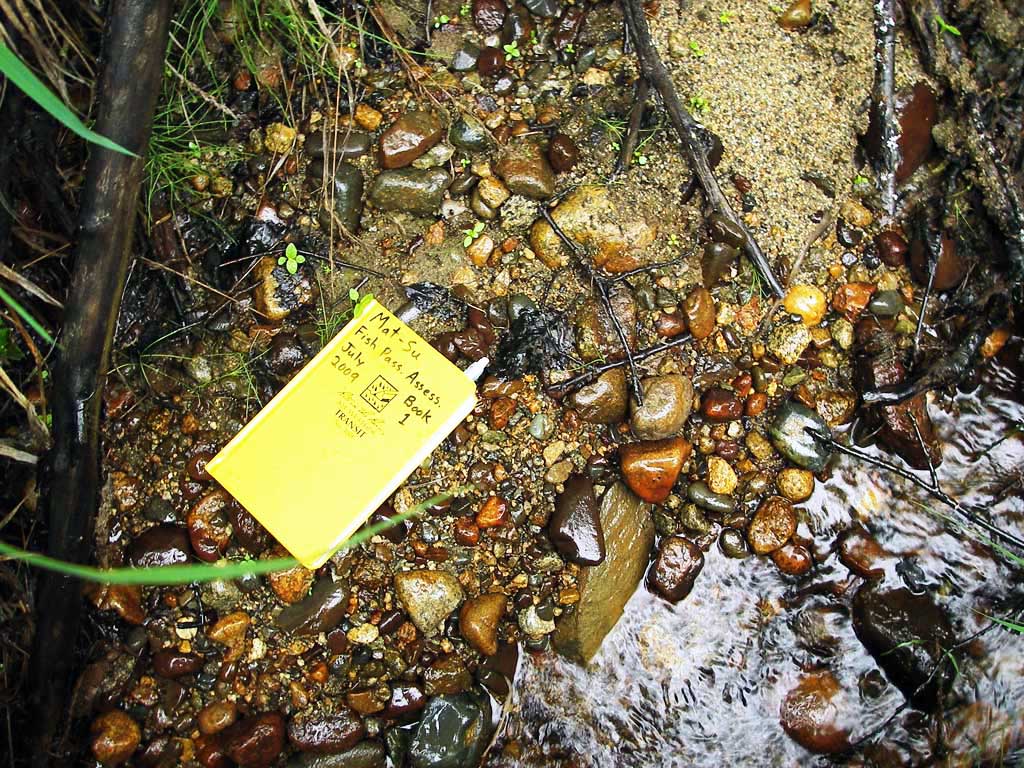
Fish Passage Site 20501239
Coordinates (dec. deg.): 61.77201°, -149.80711°
Legal Description: S019N003W03
Region: South Central
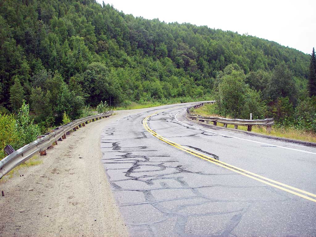
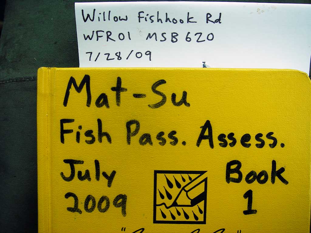
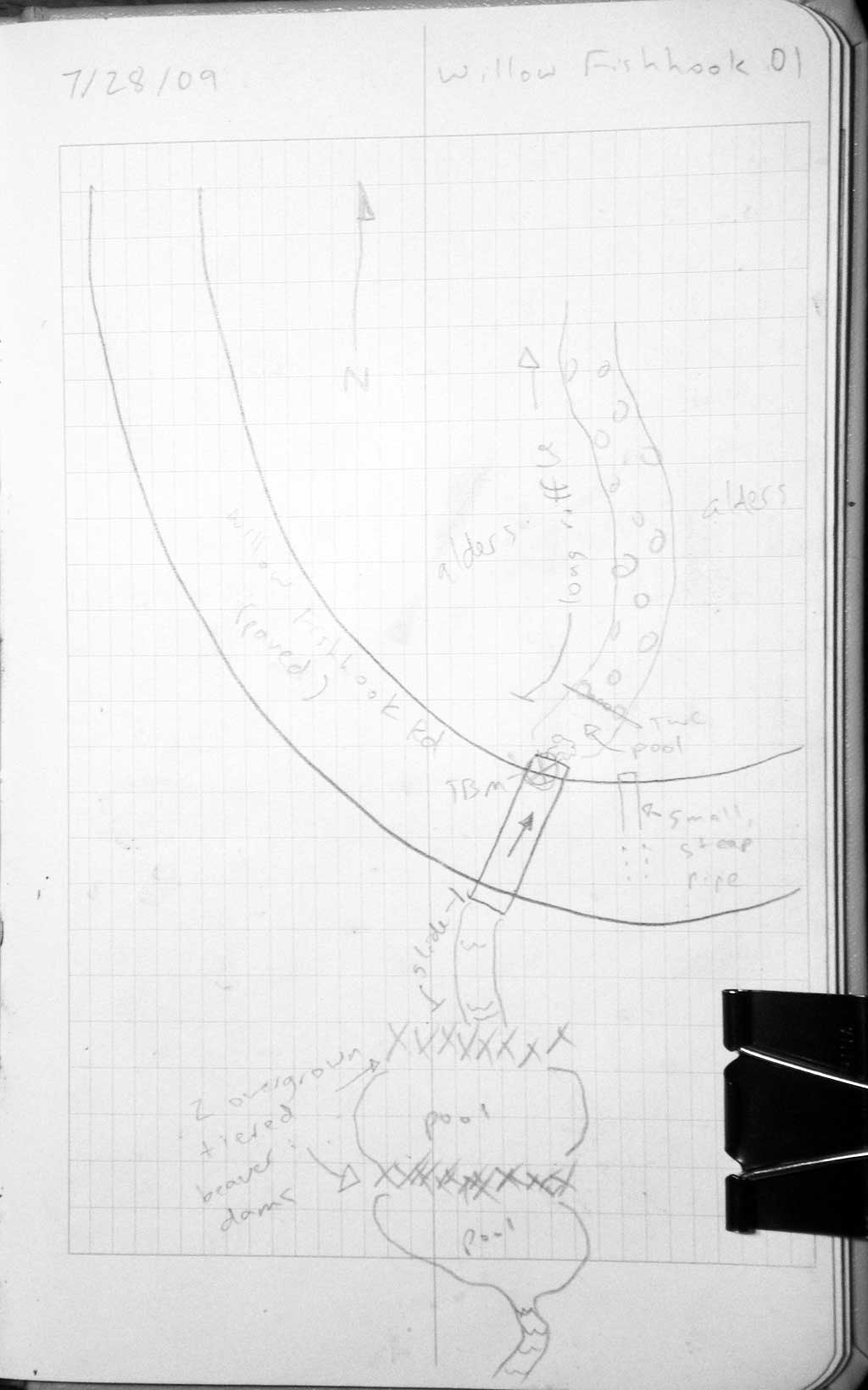
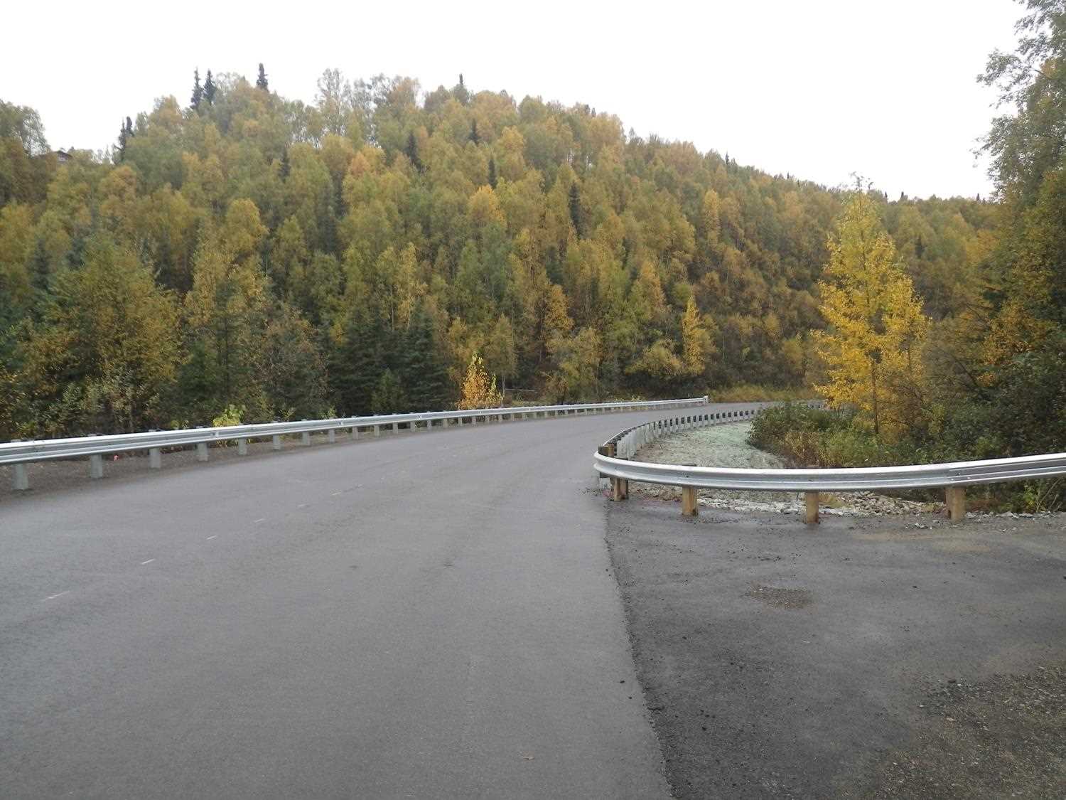
Road Name: Willow Fishhook Road
Datum: WGS84
Quad Name / ITM: Anchorage D-8
AWC Stream #:
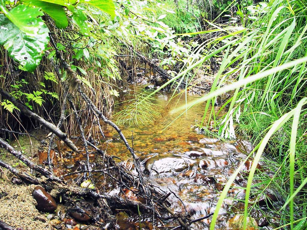
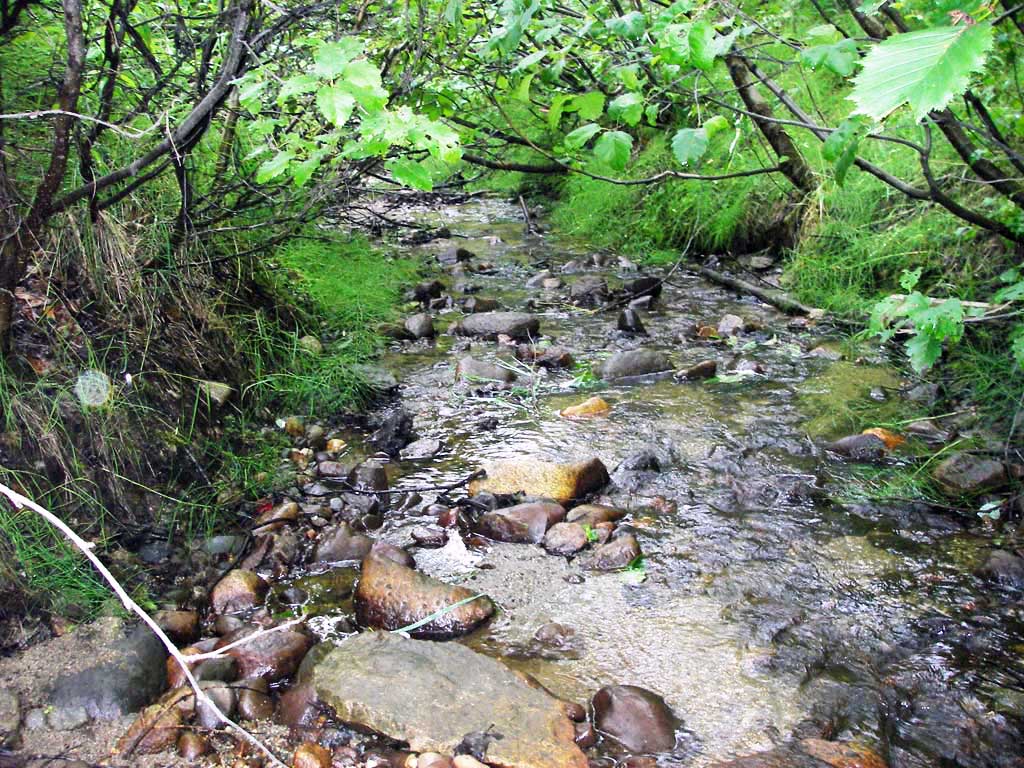
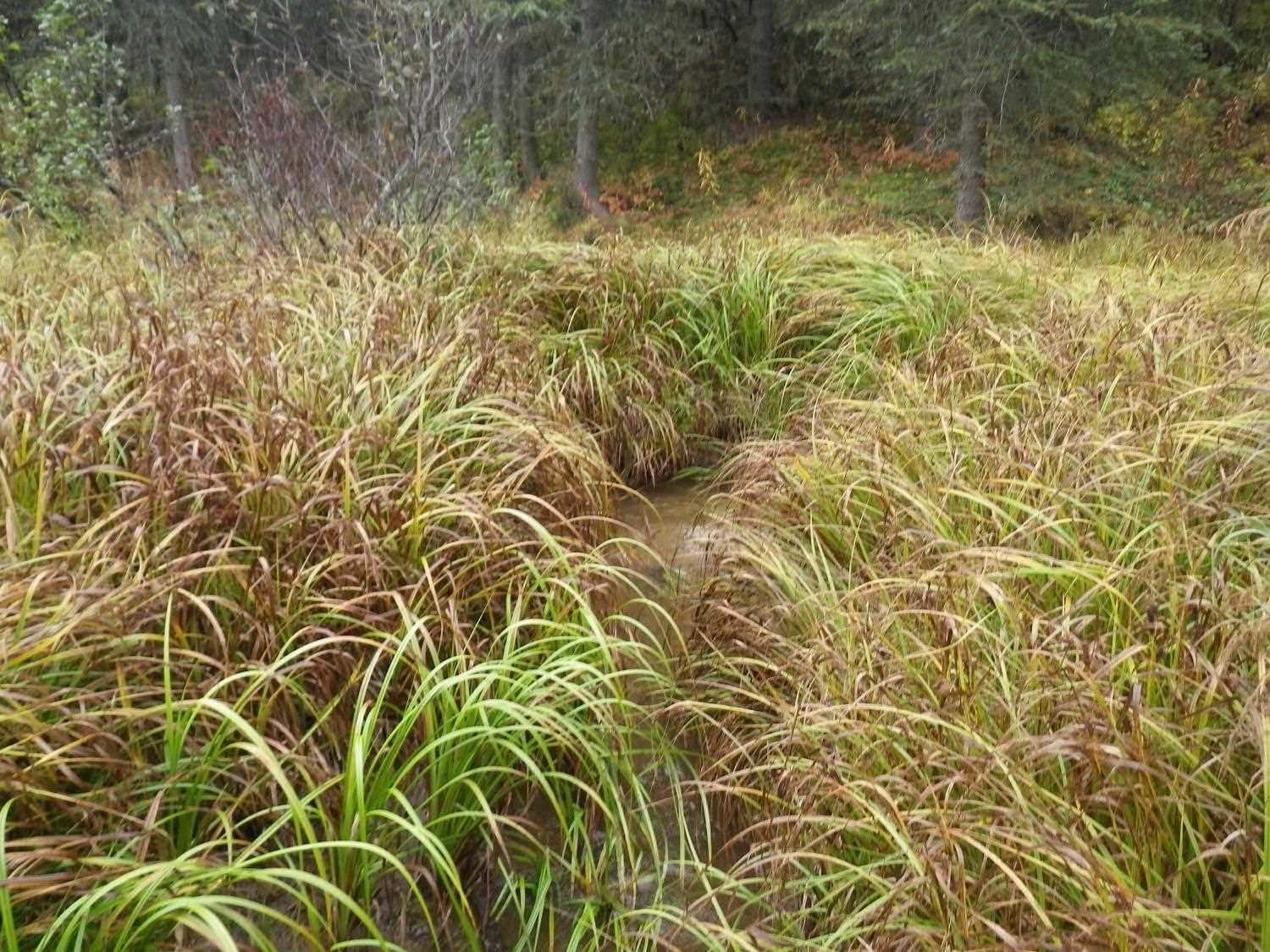
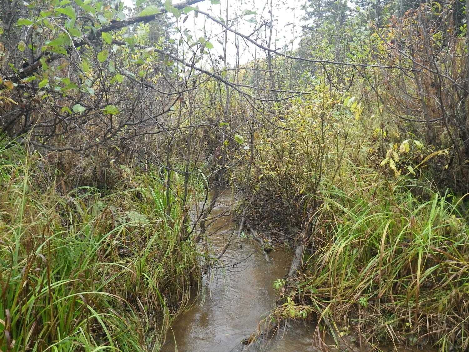
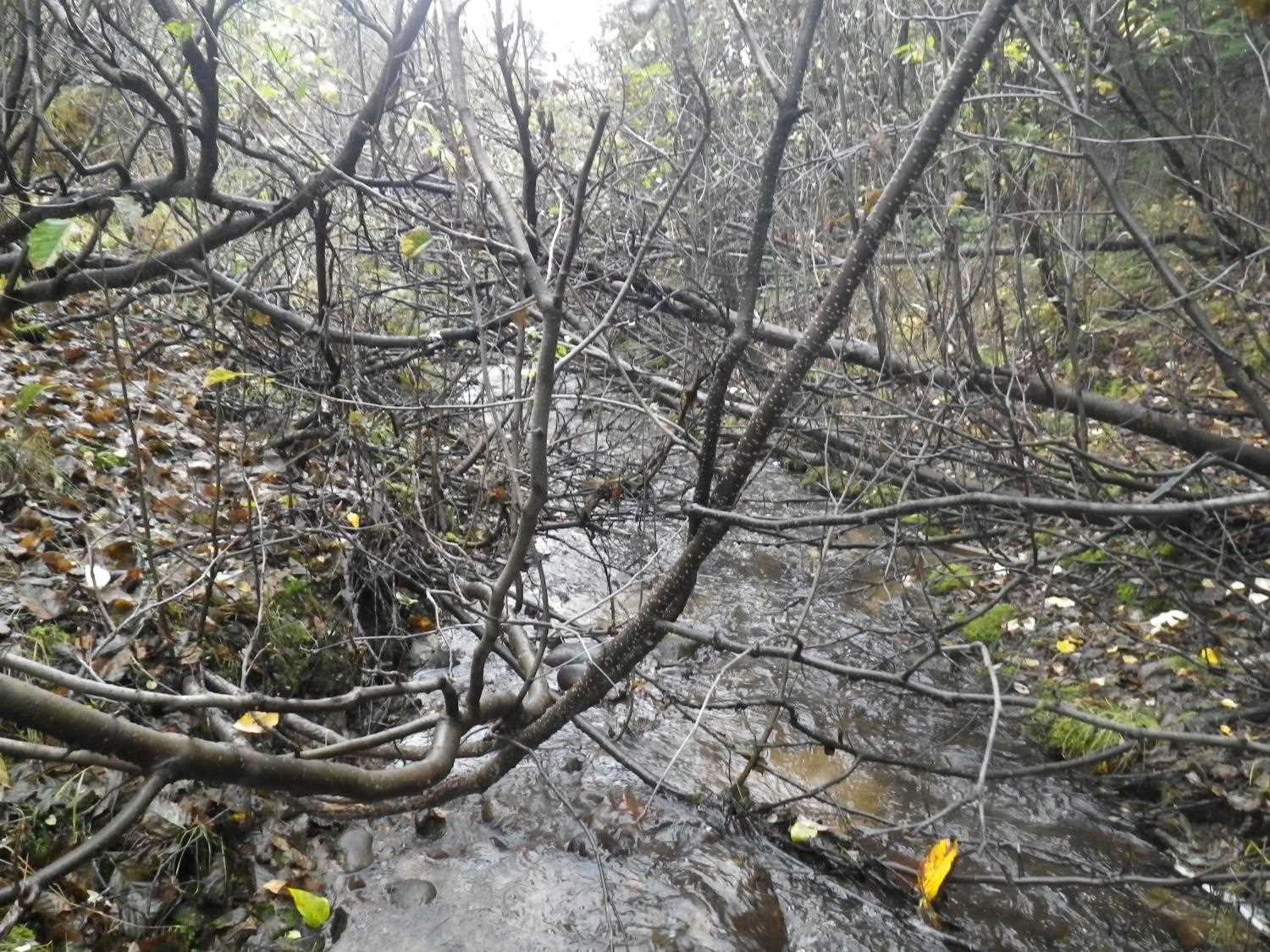
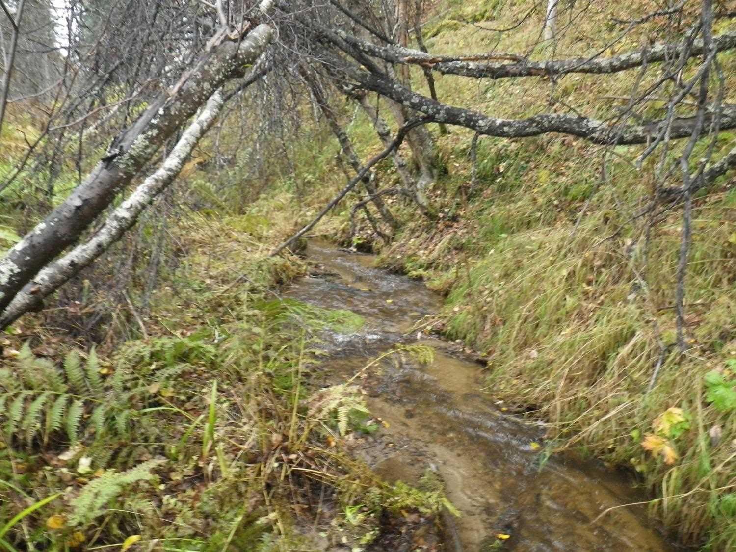
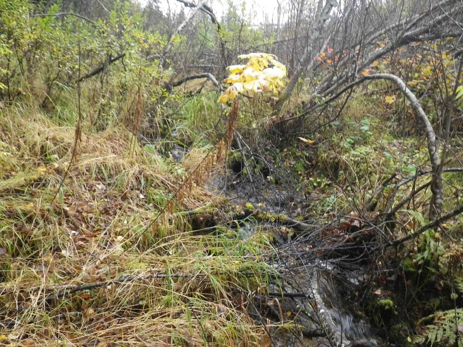
Stream Name: Willow Creek tributary
Elevation:
Site Comments: trib to AWC;
Survey MSB09-WFR01
Project Supervisor: Gillian O'Doherty, ADFG
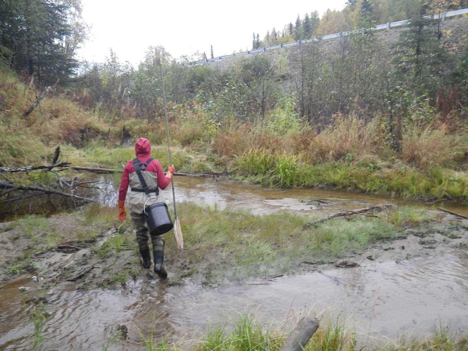
Observers: Heidi Zimmer, Ben Histand
Overall Fish Passage Rating:
Tidal: No
Backwatered: No
Step Pools: No
Construction Year:
Site Observations:
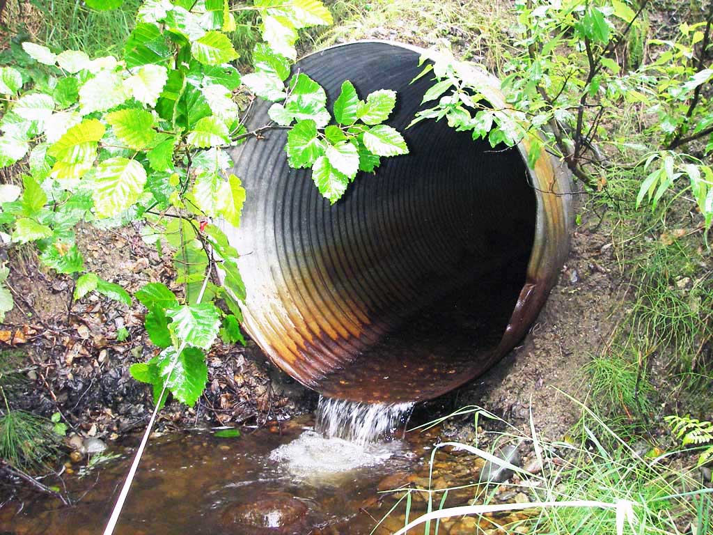
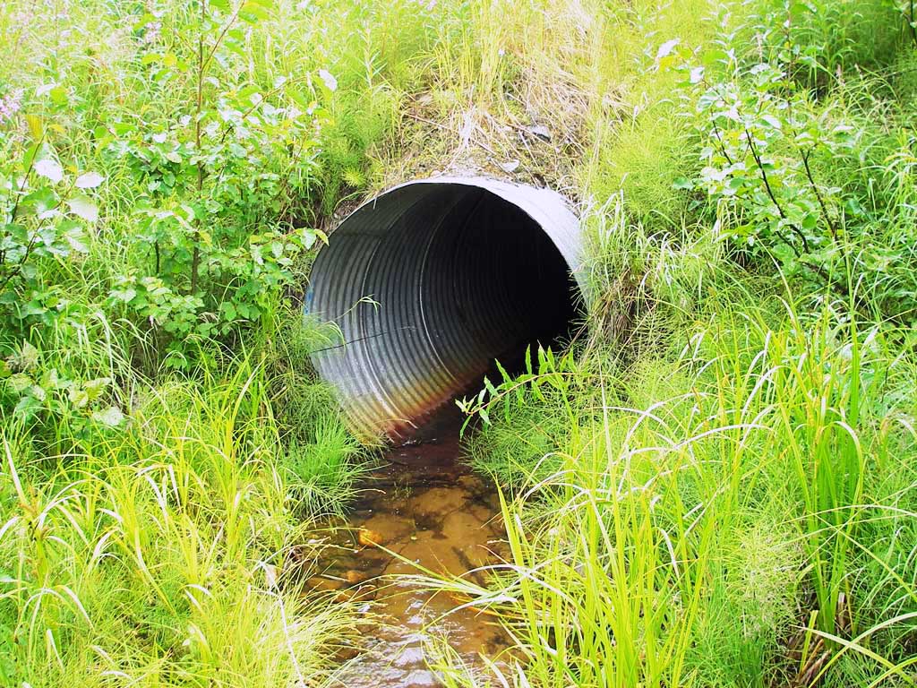
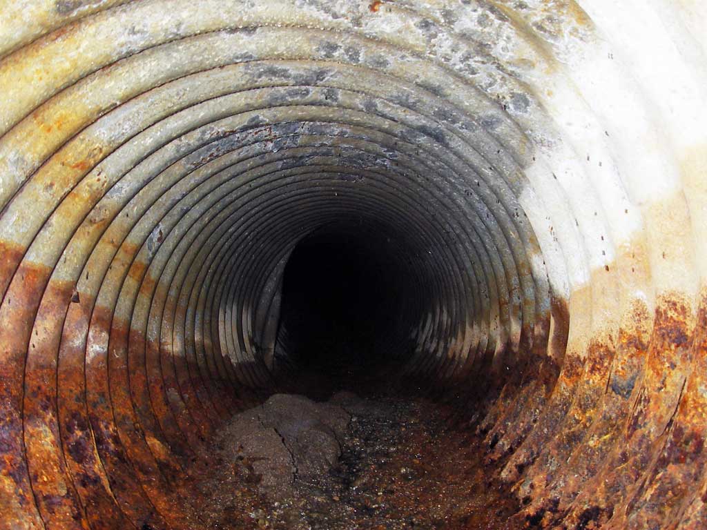
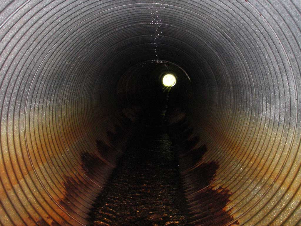
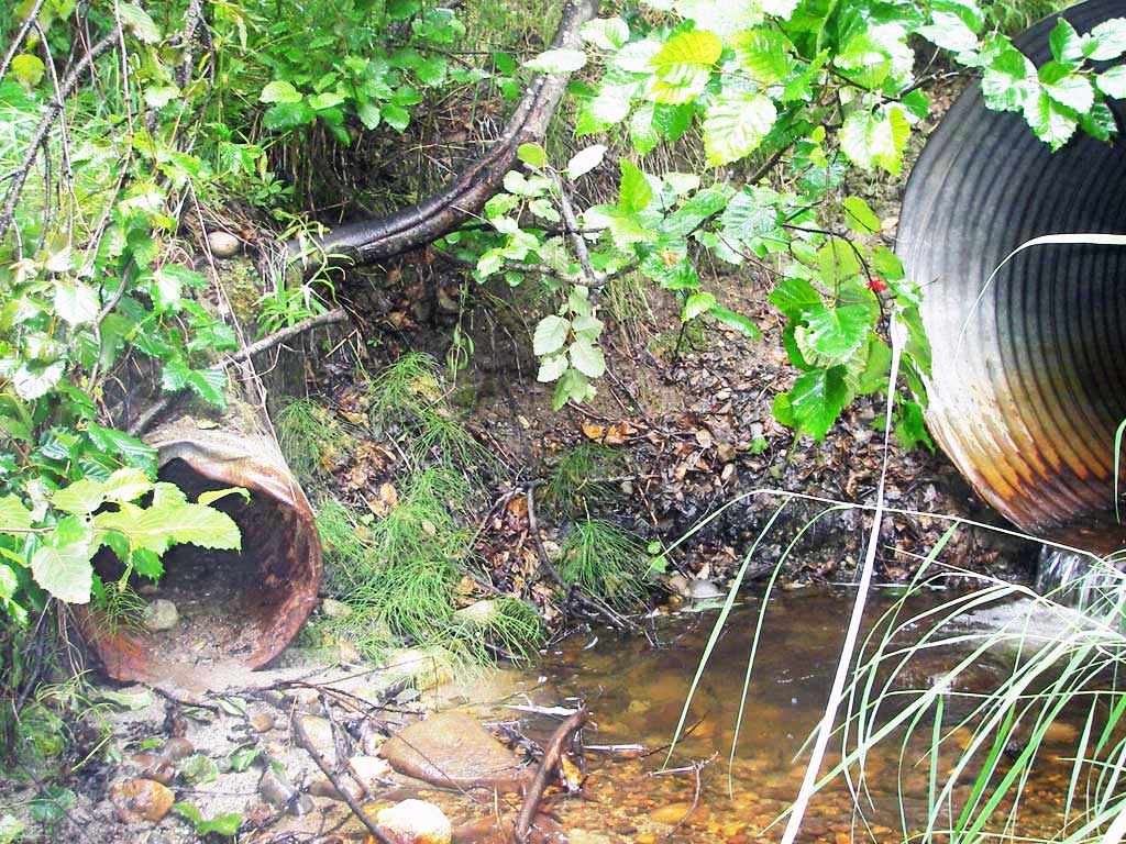
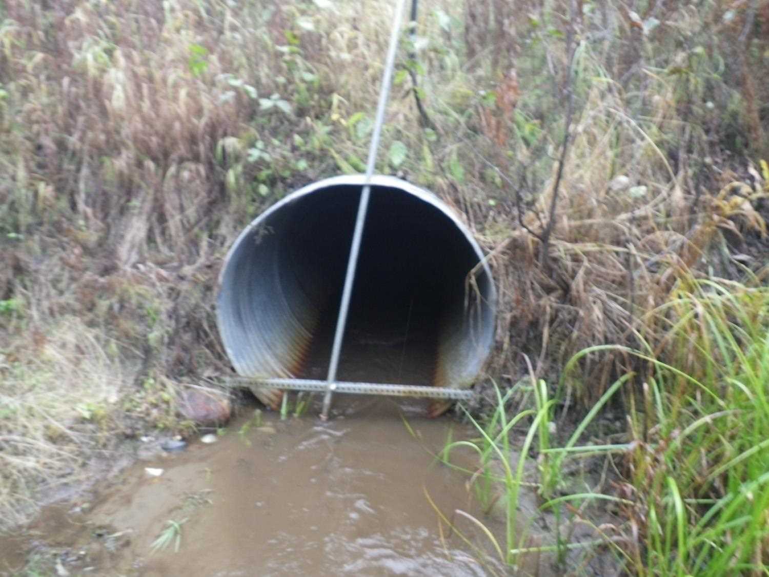
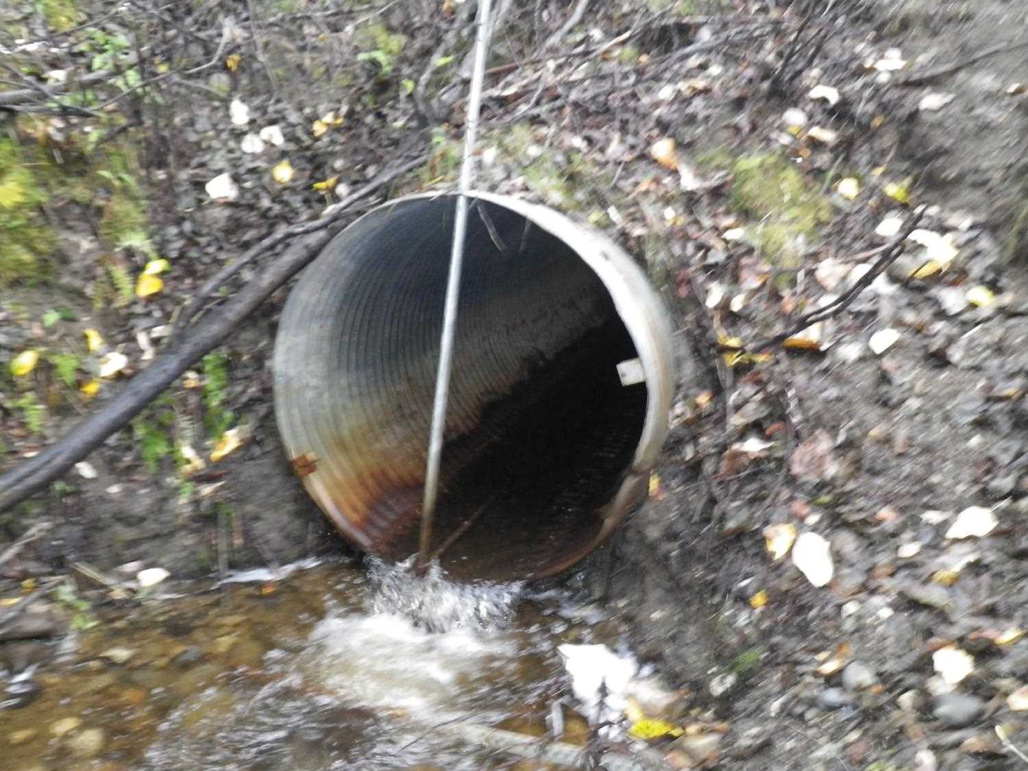
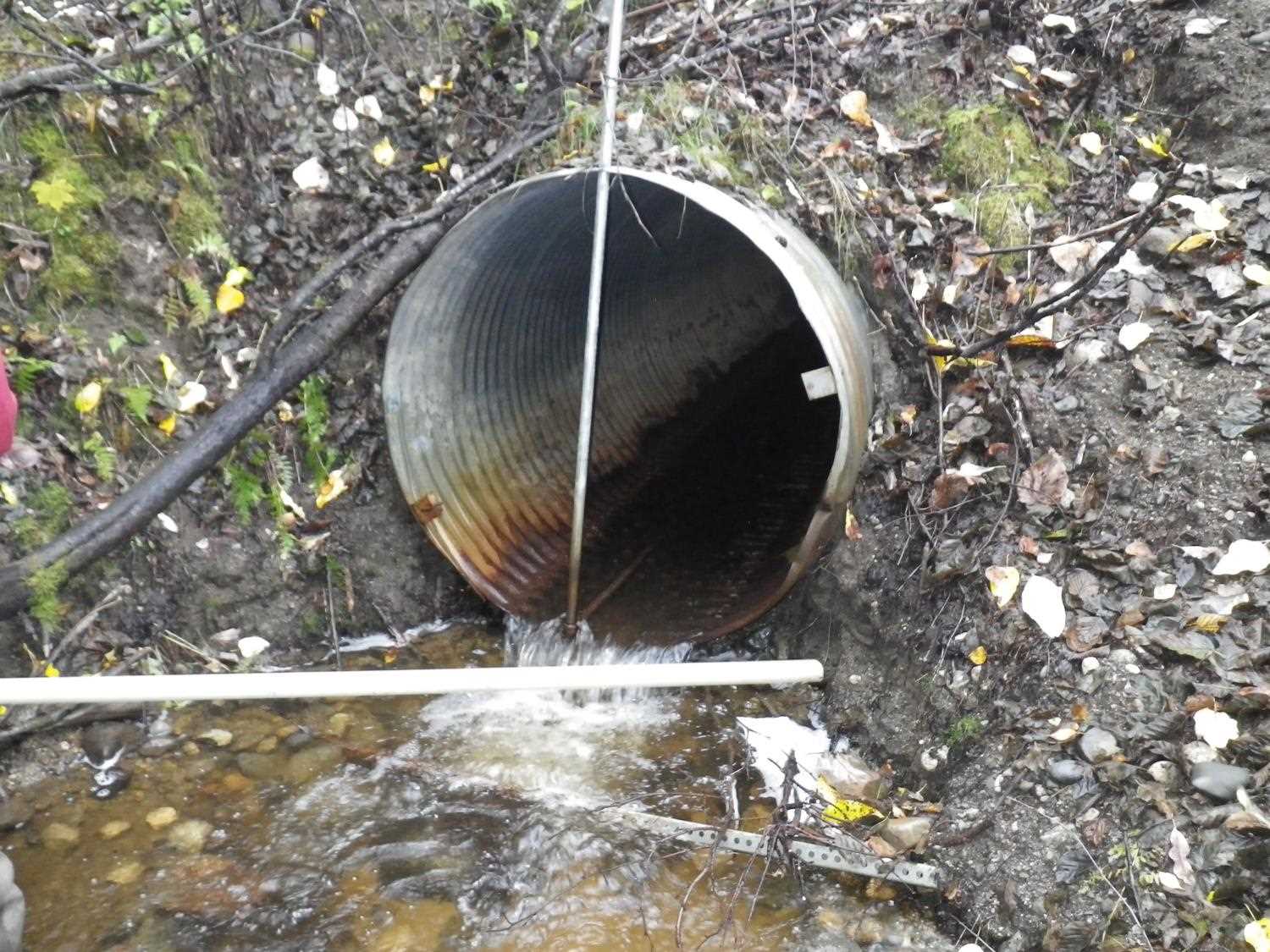
- Outfall height red
- Culvert gradient red
- Beaver Activity
- Compound gradient in pipe
Comments: Trib to AWC; compound grade from joints starting to separate in pipe. **Updated site photos added from 9/16/16 site visit from Sampling Unmapped Streams in the MSB project. Fish sampling informaiton entered into AFFI.
Culvert Measurements
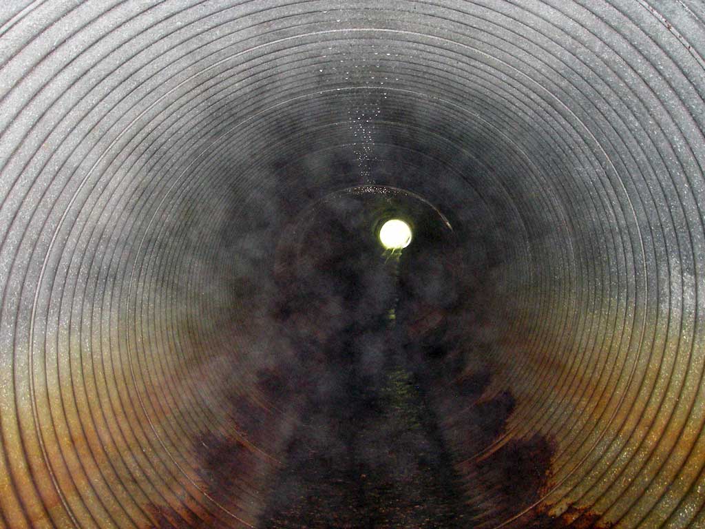
| ID: 1 | Structure Type: Circular pipe (Corrugated steel) | Fish Passage Rating: | |||||||||||||||||||||||||||||||||||||||||
|
|
|
|||||||||||||||||||||||||||||||||||||||||
Comments: trib to AWC; compound grade from joints starting to separate in pipe |
|||||||||||||||||||||||||||||||||||||||||||
Culvert Observations:
|
|||||||||||||||||||||||||||||||||||||||||||
Stream Measurements
|
|
| Stream Width Type | Distance From Crossing (ft) |
Stream Width (ft) |
|---|---|---|
| Downstream ordinary high water | 35.0 | 7.00 |
| Downstream ordinary high water | 65.0 | 5.00 |
| Downstream ordinary high water | 100.0 | 3.00 |
Elevations
| Locator ID | Culvert Number |
River Distance (ft)1 |
Distance From Crossing (ft)2 |
Relative Elevation (ft) |
|---|---|---|---|---|
| D/S Grade Ctrl (Thalweg) | 1 | 0.00 | 23.0 | 94.43 |
| D/S Water Surface Elev (@GP) | 1 | 0.00 | 23.0 | 94.61 |
| D/S Tailcrest or 1st Thalweg | 1 | 17.00 | 6.0 | 95.46 |
| D/S Water Surface Elev (@TWC) | 1 | 17.00 | 6.0 | 95.68 |
| D/S Thalweg (bottom of pool) | 1 | 21.00 | 2.0 | 94.87 |
| D/S Thalweg | 1 | 23.00 | 0.0 | 95.32 |
| Outlet Pool Water Elev | 1 | 23.00 | 0.0 | 95.69 |
| Outlet Invert | 1 | 23.00 | 0.0 | 95.97 |
| Road Elev (u/s edge of pavement) | 1 | 78.50 | 122.81 | |
| U/S Headwater | 1 | 134.50 | 0.0 | 98.80 |
| Inlet Culvert Invert | 1 | 134.50 | 0.0 | 98.56 |
| U/S Grade Ctrl (Thalweg) | 1 | 144.00 | 9.5 | 98.69 |
| U/S Water Surface Elev (@GP) | 1 | 144.00 | 9.5 | 98.93 |
Notes:
- River distance is measured continuously throughout the survey reach along the thalweg of the stream.
- Measured from each end of the crossing along the thalweg of the stream.
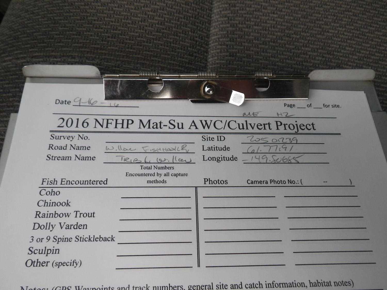
Fish Sampling Efforts
| Gear Type: Minnow Trap (A) | Trap Duration(h): 2.0 | |
| Comments: no fish caught; 100ft u/s; in beaver pond | ||
| Gear Type: Minnow Trap (B) | Trap Duration(h): 2.0 | |
| Comments: no fish caught; 50ft d/s | ||
Fish Observations
No fish observations occurred during this survey.
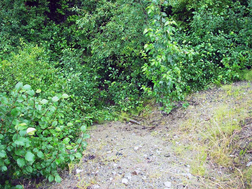
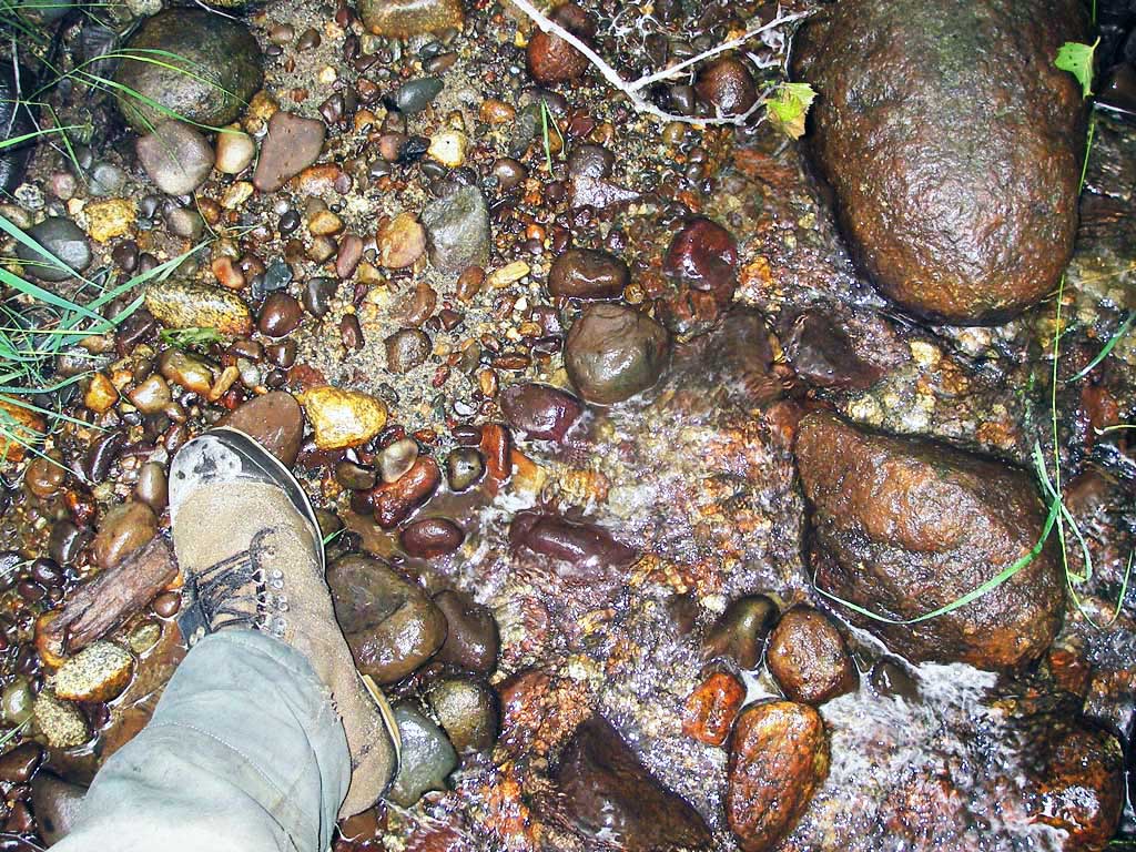
Photos
Questions or comments about this report can be directed to dfg.dsf.webmaster@alaska.gov