Fish Passage Site 20501237
Coordinates (dec. deg.): 61.58193°, -149.57242°
Legal Description: S017N002W11
Region: South Central
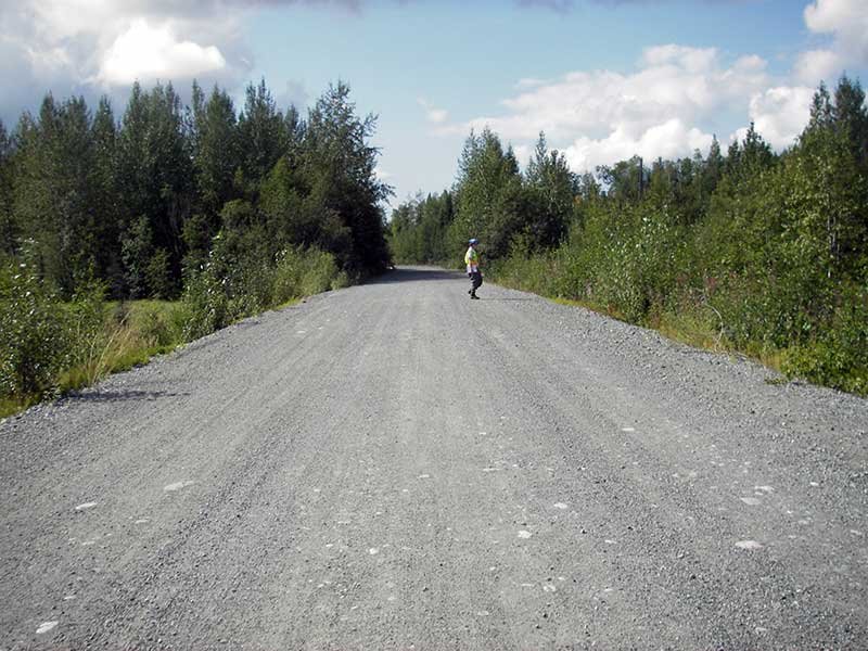
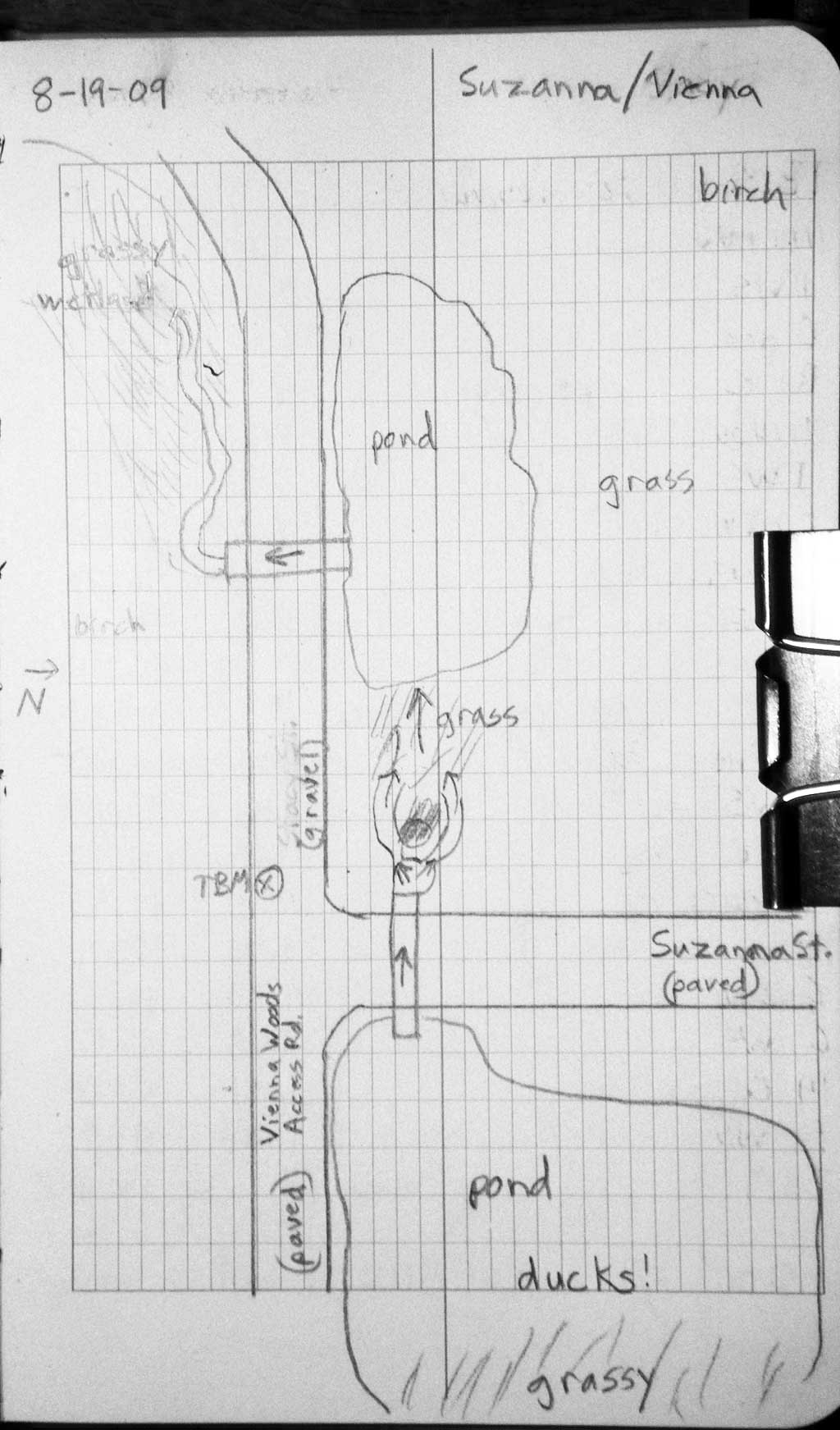
Road Name: Vienna Woods Access
Datum: WGS84
Quad Name / ITM: Anchorage C-7
AWC Stream #:
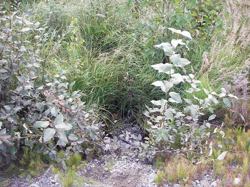
Stream Name: Wetland connector
Elevation:
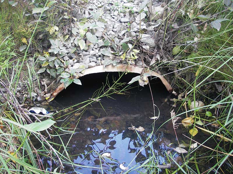
Site Comments: Site ~200' D/S of SUZ01. Wetland connector
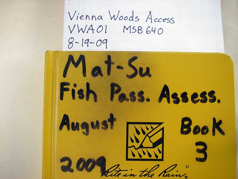
Survey MSB09-VWA01
Project Supervisor: Gillian O'Doherty, ADFG
Observers: Heidi Zimmer, Ben Histand
Overall Fish Passage Rating:
Tidal: No
Backwatered: Yes
Step Pools: No
Construction Year:
Site Observations:
- Hydraulic flows exceeded capacity
- Mechanical damage or joints parting
- Sediment accumulation
Comments: U/s grade = 0.54% (by WS); site ~200' D/S of SUZ01
Culvert Measurements
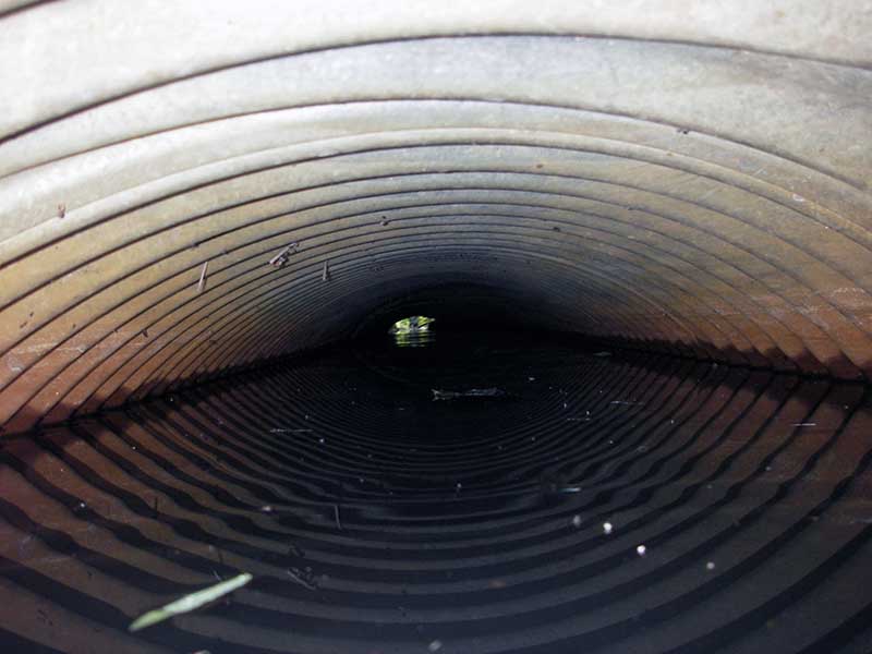
| ID: 1 | Structure Type: Circular pipe (Corrugated steel) | Fish Passage Rating: | ||||||||||||||||||||||||||||||||||||||||||
|
|
|
||||||||||||||||||||||||||||||||||||||||||
Culvert Observations:
|
||||||||||||||||||||||||||||||||||||||||||||
Stream Measurements
|
|
No stream width data available.
Elevations
| Locator ID | Culvert Number |
River Distance (ft)1 |
Distance From Crossing (ft)2 |
Relative Elevation (ft) |
|---|---|---|---|---|
| U/S Headwater (pond immed. u/s) | 1 | 95.17 | ||
| Outlet Pool Water Elev | 1 | 95.17 | ||
| D/S Grade Ctrl (Thalweg) | 1 | 0.00 | 14.0 | 93.84 |
| D/S Water Surface Elev (@GP) | 1 | 0.00 | 14.0 | 93.97 |
| D/S Water Surface Elev (@TWC) | 1 | 8.00 | 6.0 | 95.17 |
| D/S Tailcrest or 1st Thalweg | 1 | 8.00 | 6.0 | 94.92 |
| Outlet Invert | 1 | 14.00 | 0.0 | 94.50 |
| Road Elev | 1 | 33.50 | 100.47 | |
| Inlet Culvert Invert (on substrate) | 1 | 53.00 | 0.0 | 94.86 |
Notes:
- River distance is measured continuously throughout the survey reach along the thalweg of the stream.
- Measured from each end of the crossing along the thalweg of the stream.
Fish Sampling Efforts
No fish sampling occurred during this survey.
Fish Observations
No fish observations occurred during this survey.
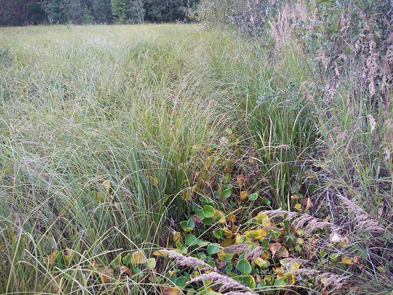
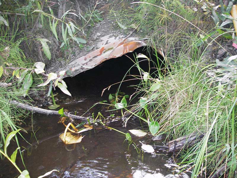
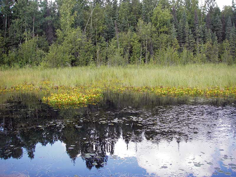
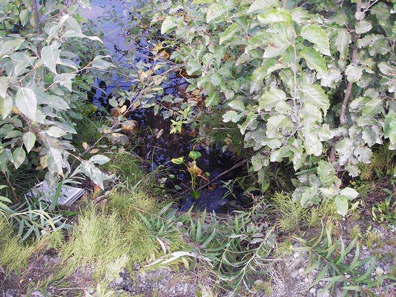
Photos
Questions or comments about this report can be directed to dfg.dsf.webmaster@alaska.gov