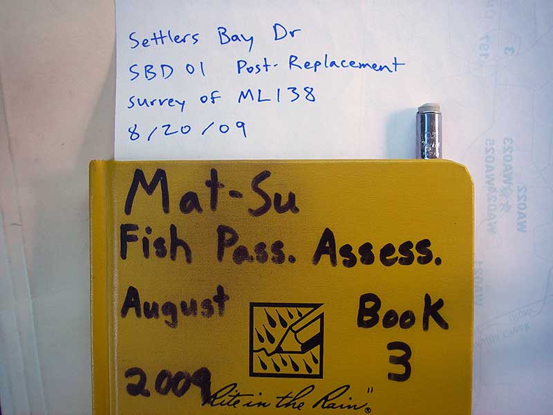
Fish Passage Site 20501224
Coordinates (dec. deg.): 61.49608°, -149.61229°
Legal Description: S016N002W10
Region: South Central
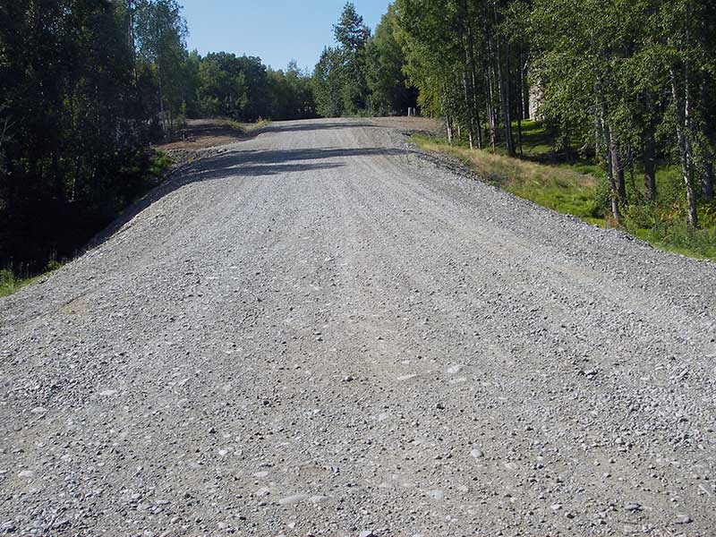
Road Name: Settler Bay Drive
Datum: NAD83
Quad Name / ITM: Anchorage B-7
AWC Stream #:
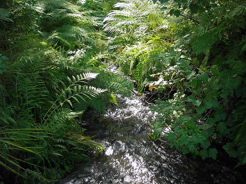
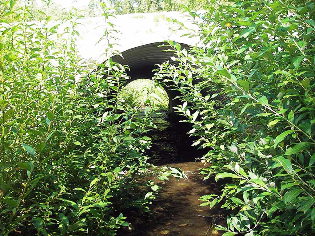
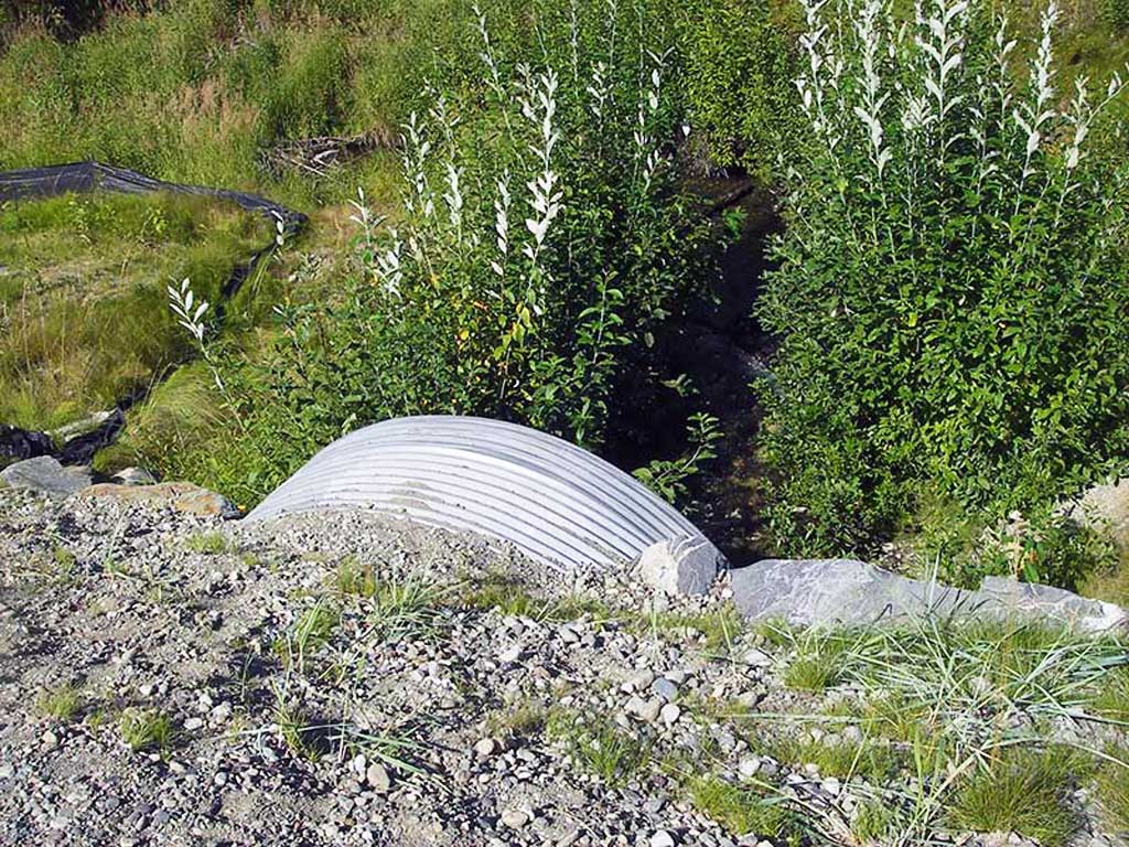
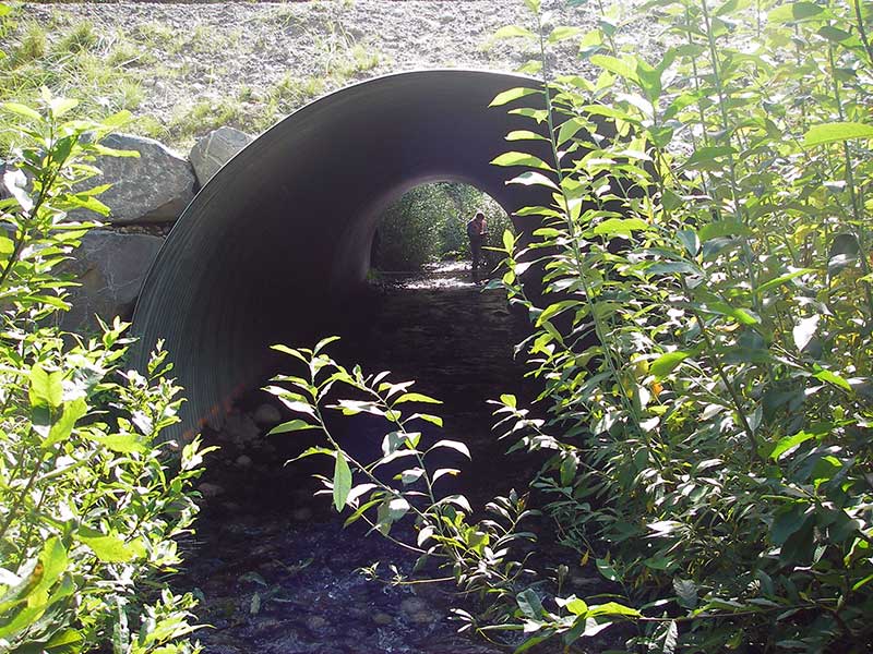
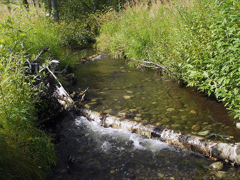
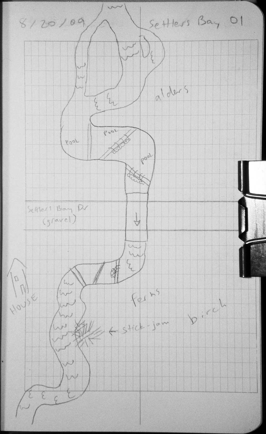
Stream Name: Crocker Creek
Elevation:
Site Comments: None
Survey MSB09-SBD01
Project Supervisor: Gillian O'Doherty, ADFG
Observers: Heidi Zimmer, Ben Histand
Overall Fish Passage Rating:
Tidal: No
Backwatered: No
Step Pools: No
Construction Year: 2007
Site Observations:
- None of this type
Comments: Post-replacement survey ML138 (USFW Idenitfier); stream forks at 90' upstream.
Culvert Measurements
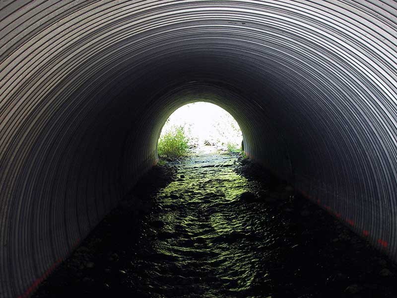
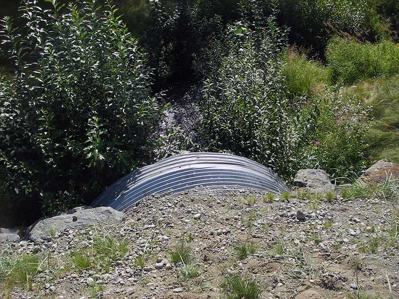
| ID: 1 | Structure Type: Circular pipe (Corrugated steel) | Fish Passage Rating: | ||||||||||||||||||||||||||||||||||||||||||
|
|
|
||||||||||||||||||||||||||||||||||||||||||
Culvert Observations:
|
||||||||||||||||||||||||||||||||||||||||||||
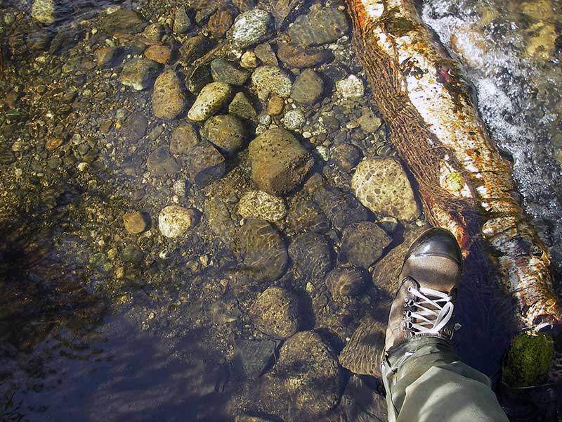
Stream Measurements
|
|
| Stream Width Type | Distance From Crossing (ft) |
Stream Width (ft) |
|---|---|---|
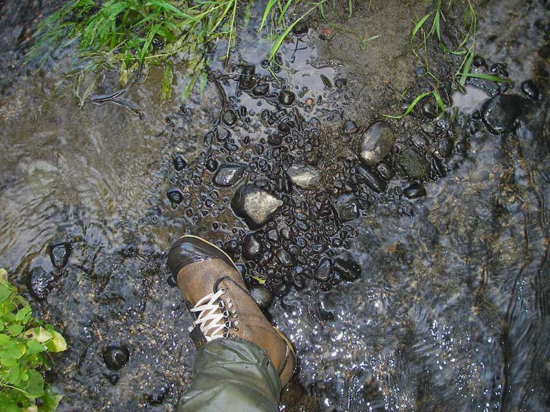
| Upstream ordinary high water | 25.0 | 9.00 |
| Upstream ordinary high water | 60.0 | 10.00 |
| Upstream ordinary high water | 87.0 | 9.00 |
Elevations
| Locator ID | Culvert Number |
River Distance (ft)1 |
Distance From Crossing (ft)2 |
Relative Elevation (ft) |
|---|---|---|---|---|
| D/S Water Surface Elev (water surface for stream grad) | 1 | 0.00 | 88.04 | |
| D/S Thalweg (profile pt in middle of pool) | 1 | 88.00 | 89.86 | |
| D/S Water Surface Elev | 1 | 88.00 | 90.62 | |
| D/S Water Surface Elev | 1 | 138.00 | 91.43 | |
| D/S Thalweg (resting pool) | 1 | 138.00 | 90.57 | |
| D/S Thalweg (pt in continuous riffle) | 1 | 163.00 | 92.11 | |
| D/S Water Surface Elev | 1 | 163.00 | 92.54 | |
| D/S Water Surface Elev | 1 | 173.00 | 92.73 | |
| D/S Tailcrest or 1st Thalweg (small tailwater control w rocks) | 1 | 173.00 | 92.43 | |
| Outlet Pool Water Elev | 1 | 176.00 | 92.80 | |
| Max Pool Depth (max outlet pool) | 1 | 176.00 | 92.05 | |
| Top of Pipe Outlet | 1 | 178.00 | 100.12 | |
| D/S Water Surface Elev (water surface at outlet) | 1 | 178.00 | 92.77 | |
| Outlet Invert (invert on substrate) | 1 | 178.00 | 91.96 | |
| Road Elev | 1 | 208.00 | 105.46 | |
| Inlet Culvert Top | 1 | 238.80 | 101.59 | |
| Inlet Culvert Invert (on substrate) | 1 | 238.80 | 93.61 | |
| U/S Water Surface Elev (inlet water surface) | 1 | 238.80 | 94.03 | |
| U/S Grade Ctrl (Thalweg) (top of log riffle) | 1 | 259.80 | 94.84 | |
| U/S Water Surface Elev | 1 | 259.80 | 95.00 | |
| U/S Grade Ctrl (Thalweg) (end of step pool on log) | 1 | 282.80 | 95.28 | |
| U/S Water Surface Elev | 1 | 282.80 | 95.86 | |
| U/S Grade Ctrl (Thalweg) (end of step pool on log) | 1 | 304.80 | 96.01 | |
| U/S Water Surface Elev | 1 | 304.80 | 96.17 | |
| U/S Water Surface Elev | 1 | 324.80 | 96.19 | |
| U/S Thalweg (max pool depth upst) | 1 | 324.80 | 94.81 | |
| U/S Grade Ctrl (Thalweg) (top of riffle in narrow natural channel) | 1 | 348.80 | 96.04 | |
| U/S Water Surface Elev | 1 | 348.80 | 96.60 |
Notes:
- River distance is measured continuously throughout the survey reach along the thalweg of the stream.
- Measured from each end of the crossing along the thalweg of the stream.
Fish Sampling Efforts
No fish sampling occurred during this survey.
Fish Observations
No fish observations occurred during this survey.
Photos
Questions or comments about this report can be directed to dfg.dsf.webmaster@alaska.gov