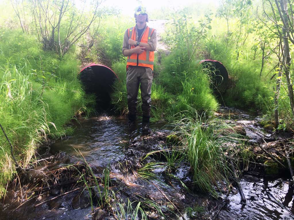
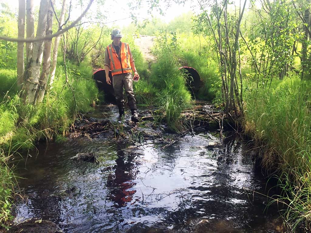
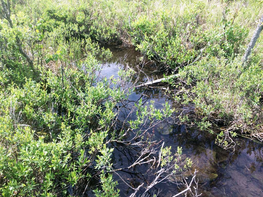
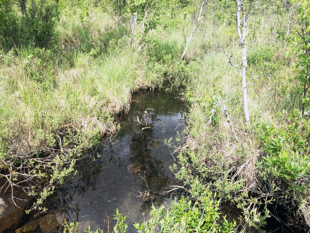
Fish Passage Site 20501222
Coordinates (dec. deg.): 61.49357°, -149.66008°
Legal Description: S016N002W08
Region: South Central
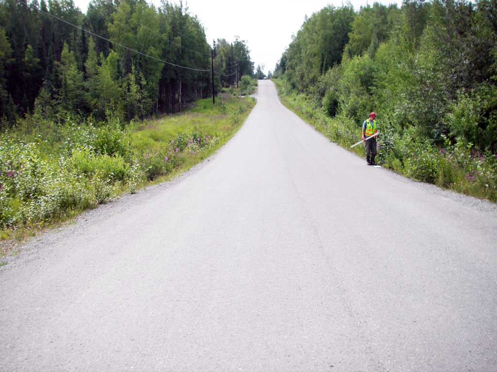
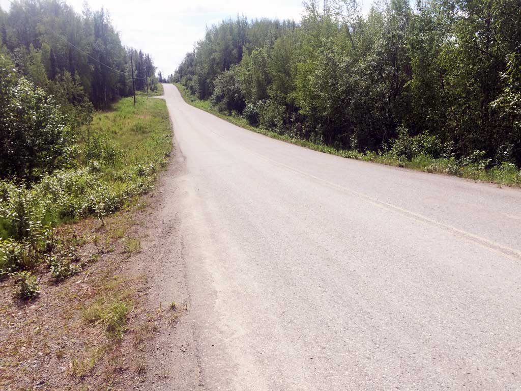
Road Name: Rubacaba Road
Datum: WGS84
Quad Name / ITM: Anchorage B-8
AWC Stream #:
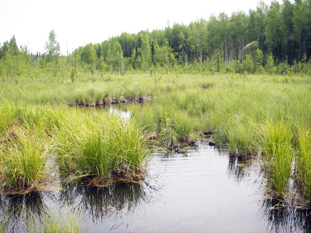
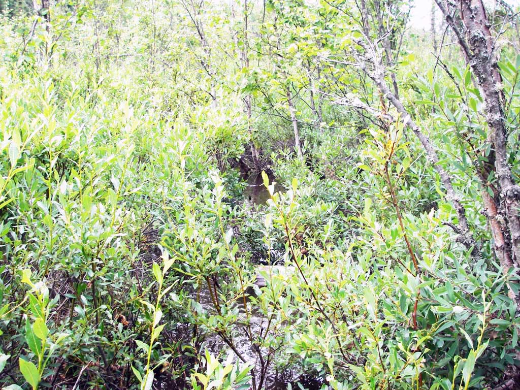
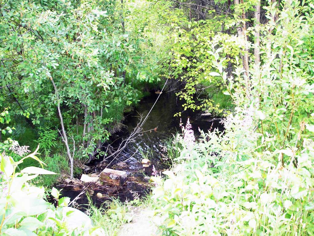
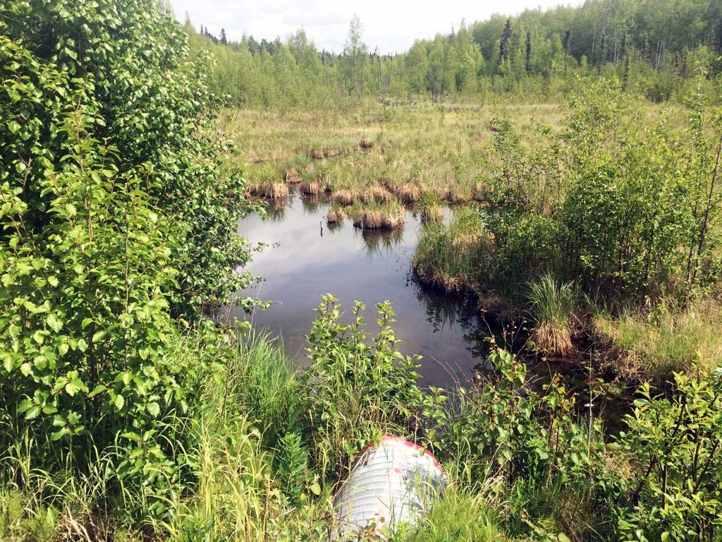
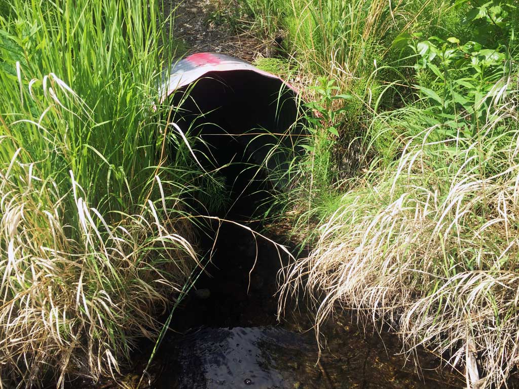
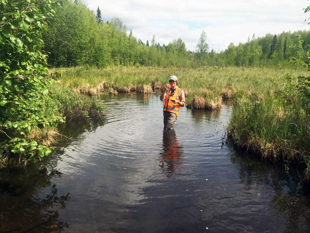
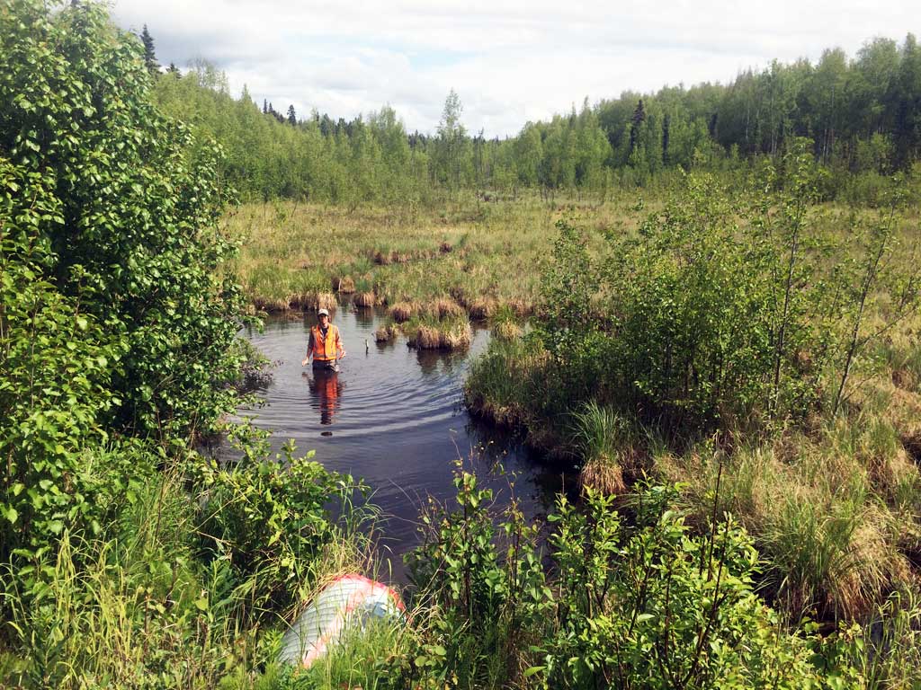
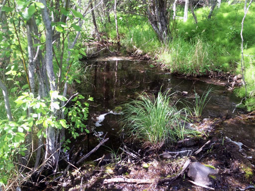
Stream Name: O'Brien Creek
Elevation:
Site Comments: None
arrow to the right of the survey date below to choose a different report for this site.
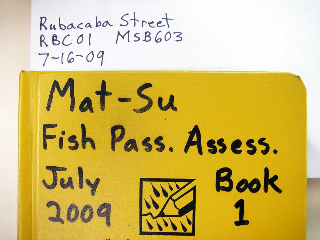
Survey MSB09-RBC01
Project Supervisor: Gillian O'Doherty, ADFG
Observers: Heidi Zimmer, Ben Histand
Overall Fish Passage Rating:
Tidal: No
Backwatered: No
Step Pools: No
Construction Year:
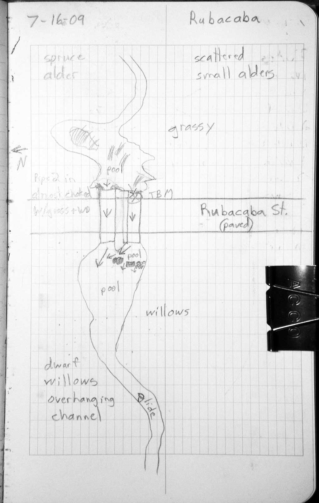
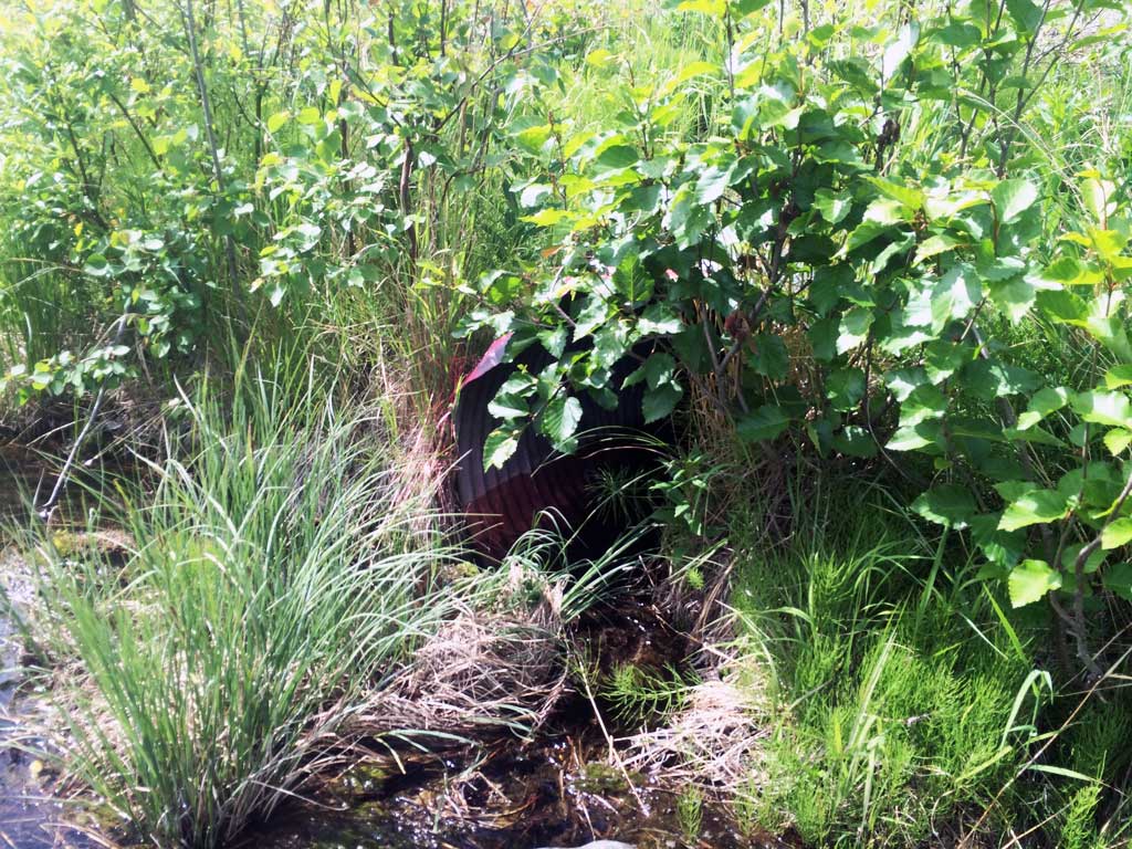
Site Observations:
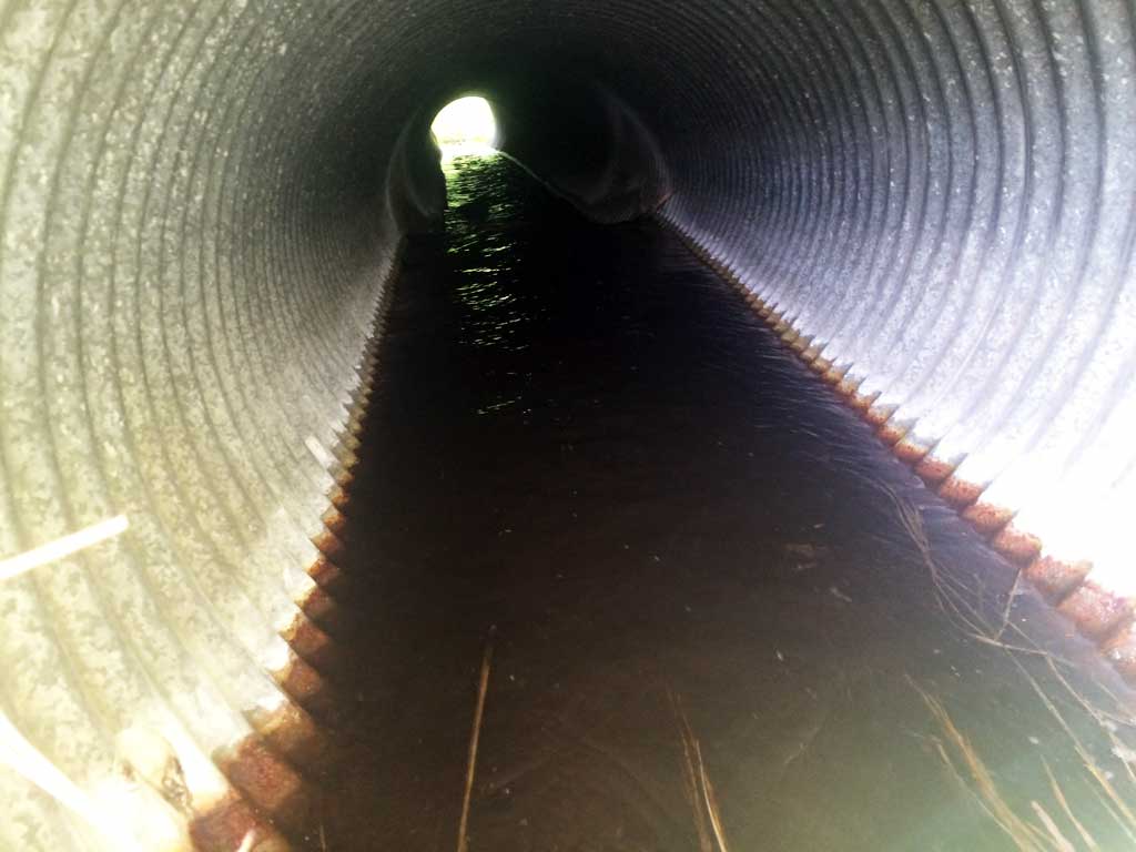
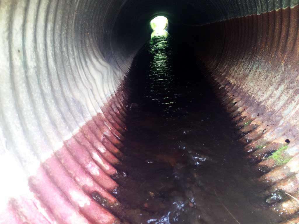
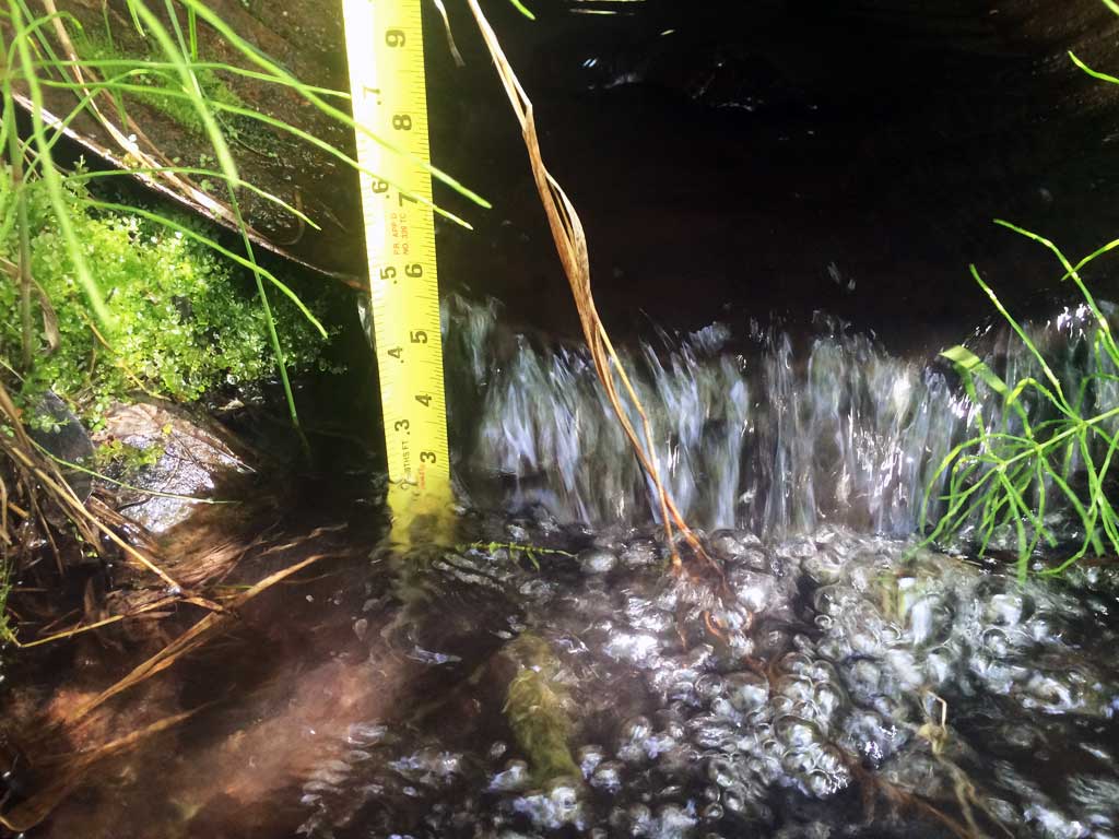
- Outfall height gray
- Culvert gradient red
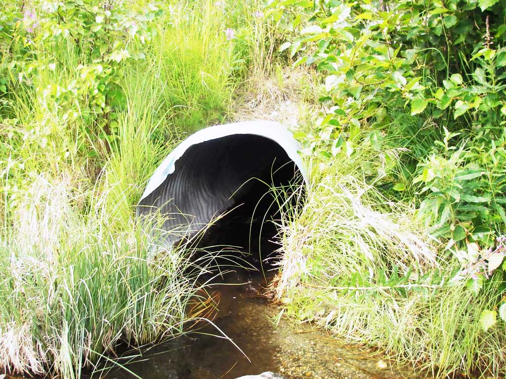
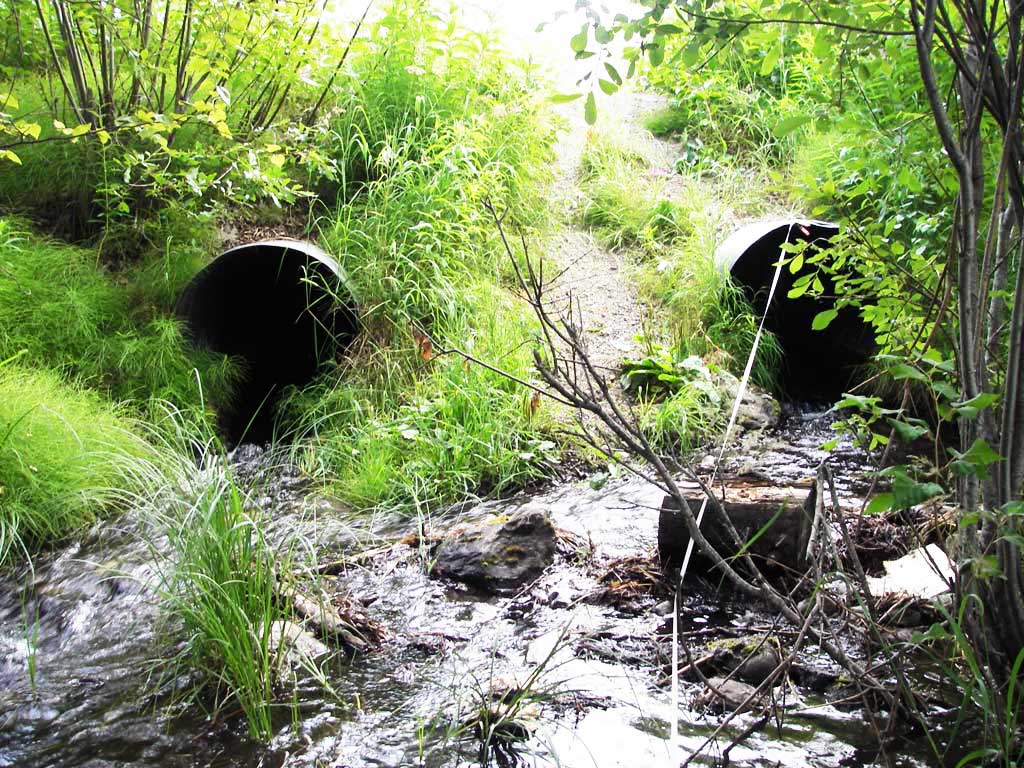
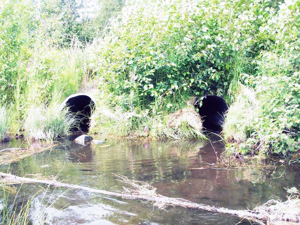
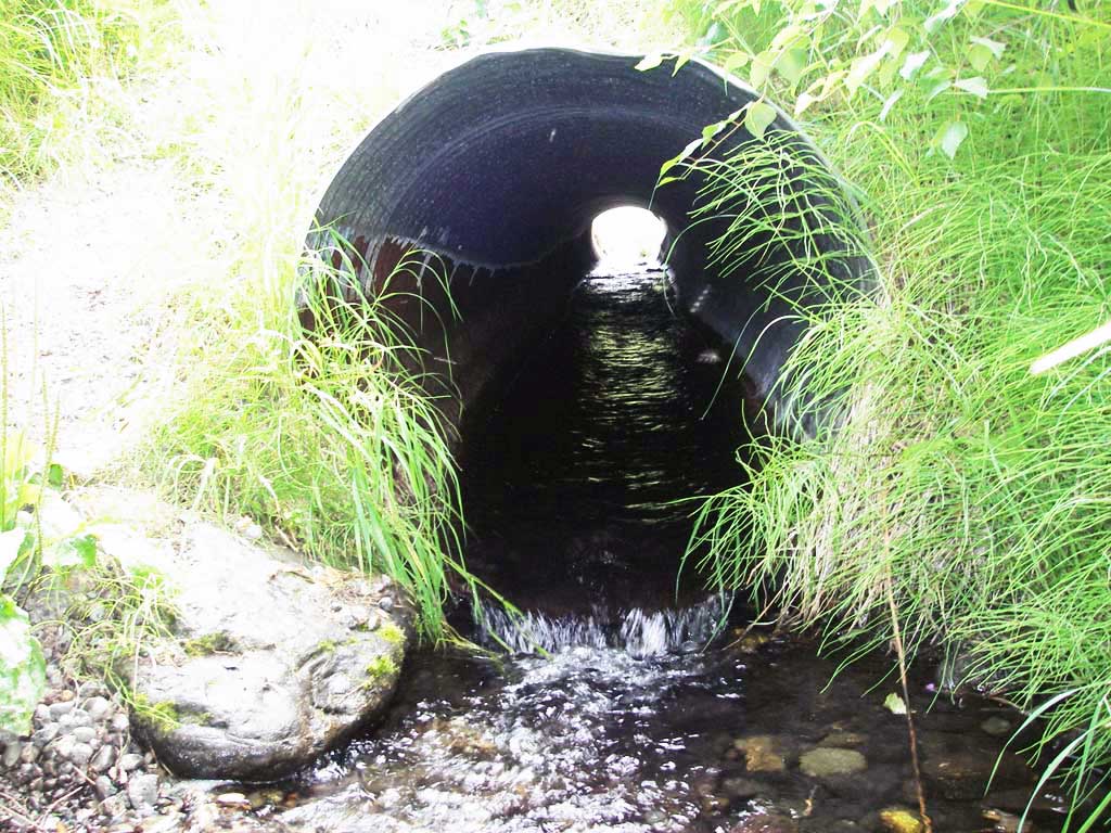
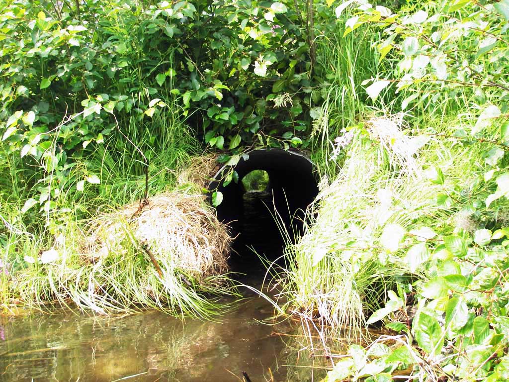
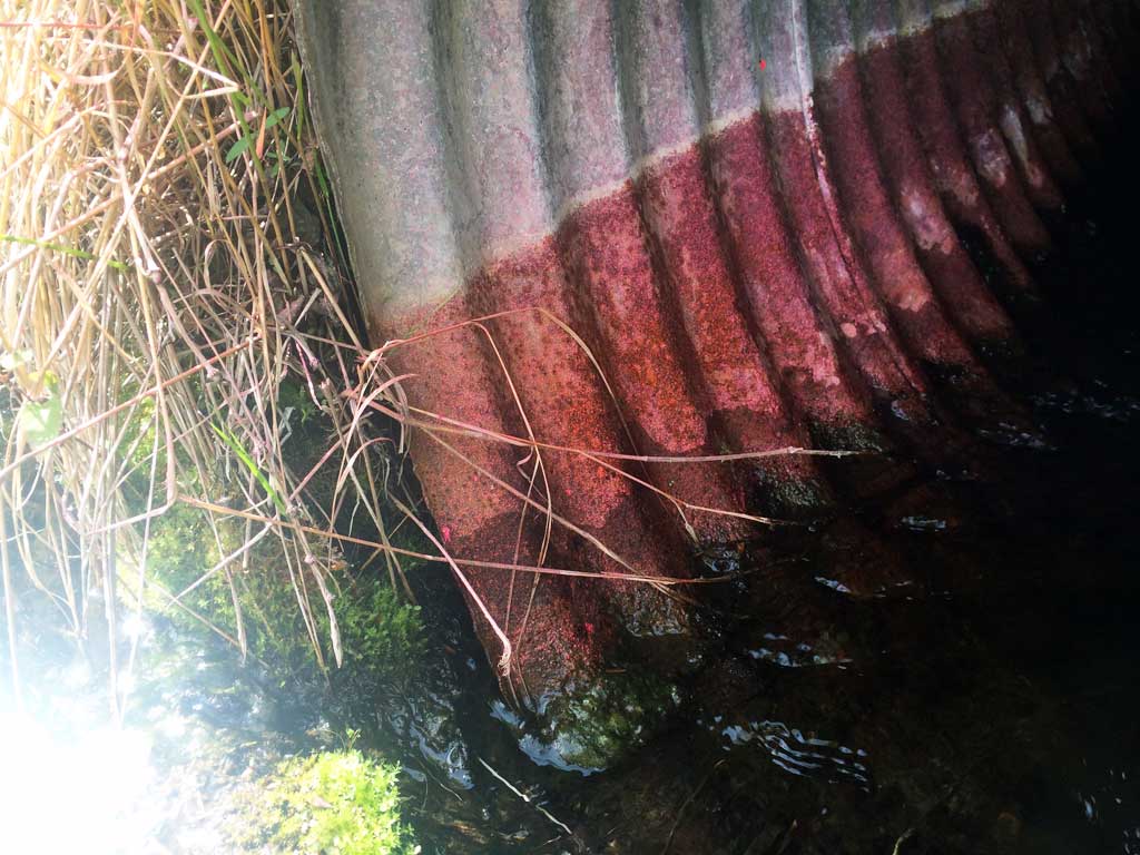
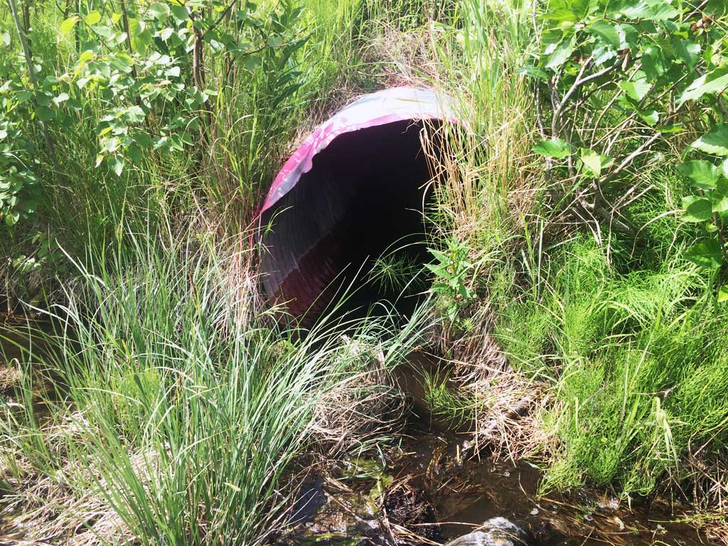
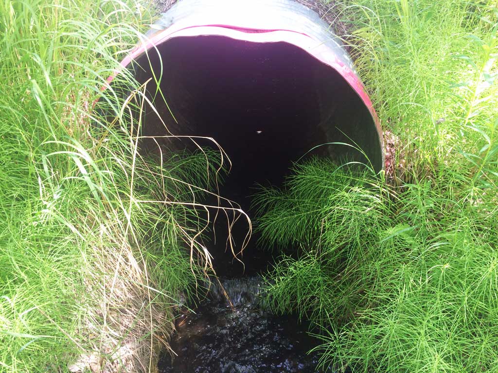
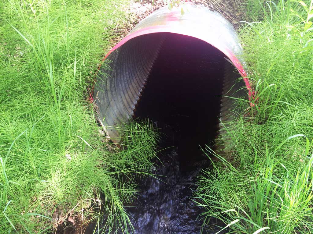
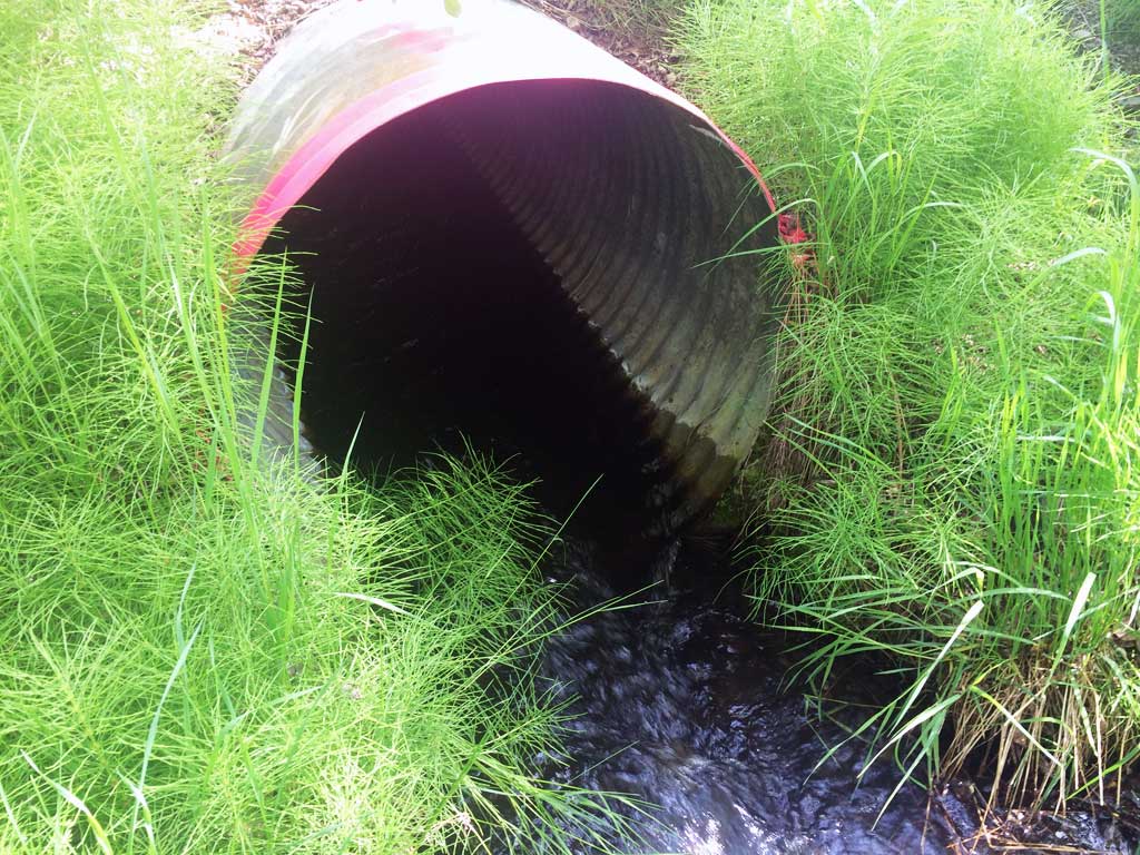
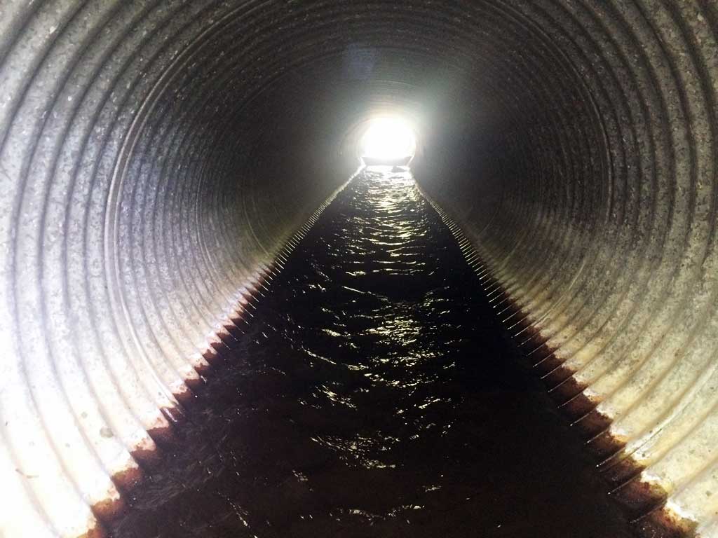
Comments: Pipe has rust line at 0.7 ft on one side, 1.9 ft on other (has been rotated?). ***Updated site photos added from 6-8-15 site visit.
Culvert Measurements
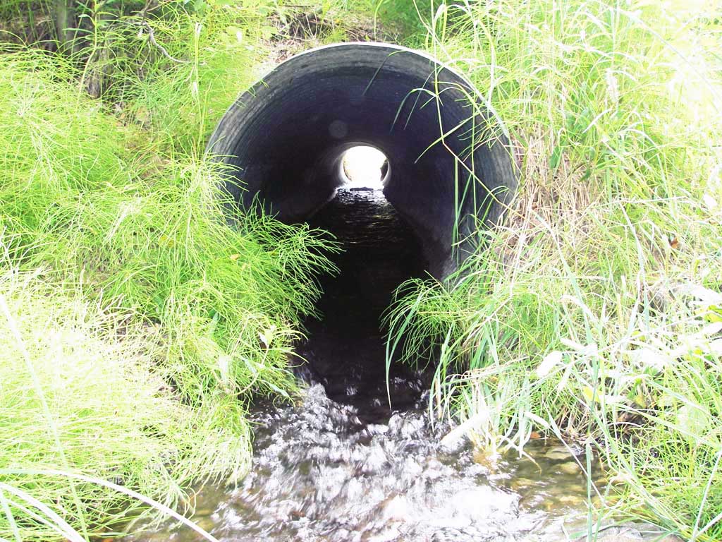
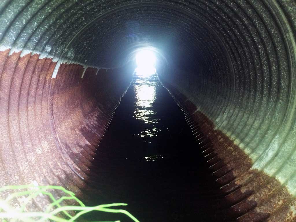
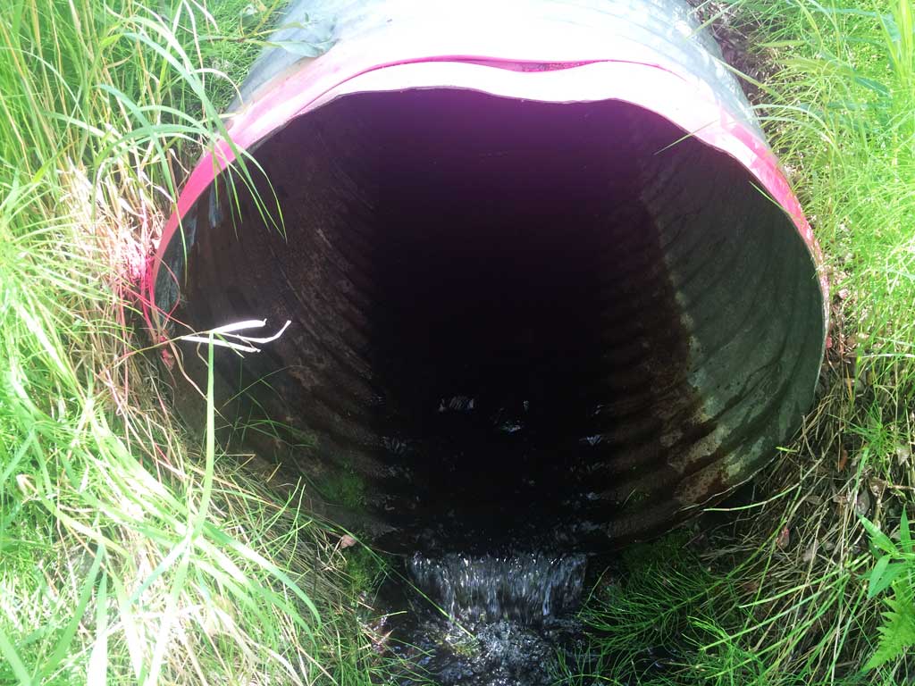
| ID: 1 | Structure Type: Circular pipe (Corrugated steel) | Fish Passage Rating: | |||||||||||||||||||||||||||||||||||||||||
|
|
|
|||||||||||||||||||||||||||||||||||||||||
Culvert Observations:
|
|||||||||||||||||||||||||||||||||||||||||||
| ID: 2 | Structure Type: Circular pipe (Corrugated steel) | Fish Passage Rating: | |||||||||||||||||||||||||||||||||||||||||
|
|
|
|||||||||||||||||||||||||||||||||||||||||
Culvert Observations:
|
|||||||||||||||||||||||||||||||||||||||||||
Stream Measurements
|
|
| Stream Width Type | Distance From Crossing (ft) |
Stream Width (ft) |
|---|---|---|
| Downstream ordinary high water | 60.0 | 5.50 |
| Downstream ordinary high water | 85.0 | 6.00 |
| Downstream ordinary high water | 110.0 | 5.50 |
Elevations
| Locator ID | Culvert Number |
River Distance (ft)1 |
Distance From Crossing (ft)2 |
Relative Elevation (ft) |
|---|---|---|---|---|
| D/S Water Surface Elev (d/s WS - d/s channel is nearly flat & featureless past 12' d/s) | 0.00 | 36.0 | 95.86 | |
| D/S Water Surface Elev (d/s WS - pipe 2 has riffle out to 12') | 24.00 | 12.0 | 95.87 | |
| D/S Thalweg (toe of riffle out of pipe 2) | 2 | 24.00 | 12.0 | 95.09 |
| D/S Tailcrest or 1st Thalweg (TWC pipe 1 only) | 1 | 31.50 | 4.5 | 96.13 |
| D/S Water Surface Elev (WS @ TWC) | 1 | 31.50 | 4.5 | 96.37 |
| Outlet Pool Water Elev | 2 | 36.00 | 96.32 | |
| Outlet Invert | 1 | 36.00 | 0.0 | 96.34 |
| Outlet Pool Water Elev (outlet pool pipe 1 only) | 1 | 36.00 | 96.37 | |
| Outlet Invert | 2 | 36.00 | 0.0 | 95.95 |
| D/S Thalweg | 1 | 36.00 | 0.0 | 96.12 |
| Road Elev | 60.00 | 104.02 | ||
| Inlet Culvert Invert | 2 | 84.00 | 0.0 | 96.88 |
| Inlet Culvert Invert | 1 | 84.00 | 0.0 | 97.08 |
| U/S Headwater | 2 | 84.00 | 97.31 | |
| U/S Headwater | 1 | 84.00 | 97.33 | |
| U/S Water Surface Elev | 2 | 86.00 | 2.0 | 97.33 |
| U/S Water Surface Elev | 1 | 86.00 | 2.0 | 97.34 |
| U/S Grade Ctrl (Thalweg) (pool u/s slight GP) | 1 | 86.00 | 2.0 | 97.09 |
| U/S Grade Ctrl (Thalweg) | 2 | 86.00 | 2.0 | 96.88 |
Notes:
- River distance is measured continuously throughout the survey reach along the thalweg of the stream.
- Measured from each end of the crossing along the thalweg of the stream.
Fish Sampling Efforts
No fish sampling occurred during this survey.
Fish Observations
No fish observations occurred during this survey.
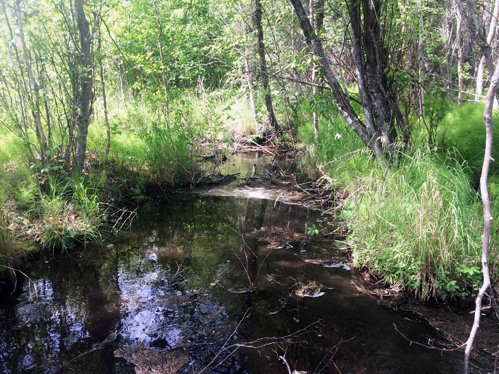
Photos
Questions or comments about this report can be directed to dfg.dsf.webmaster@alaska.gov