Fish Passage Site 20501220
Coordinates (dec. deg.): 61.58001°, -149.57333°
Legal Description: S017N002W11
Region: South Central
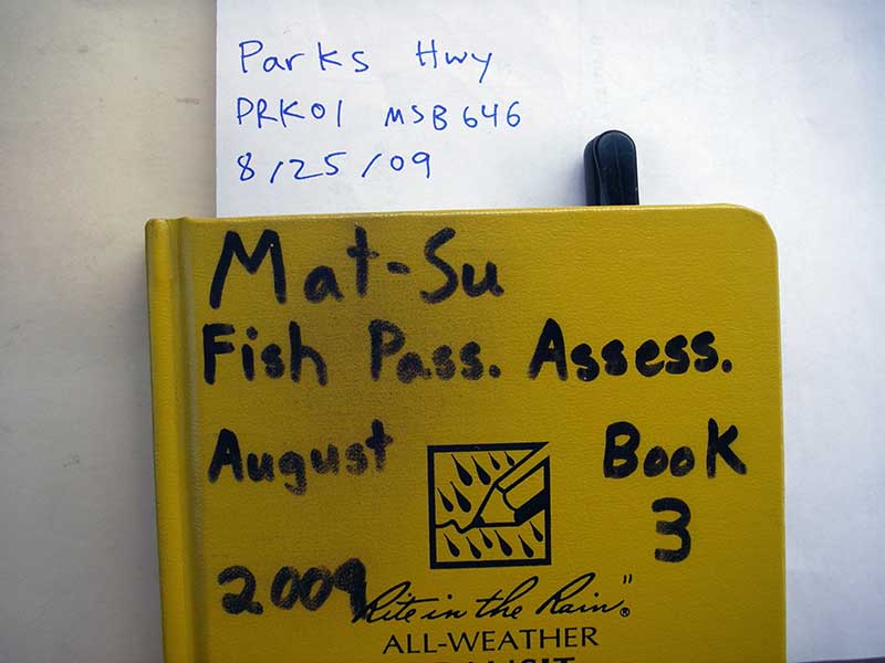
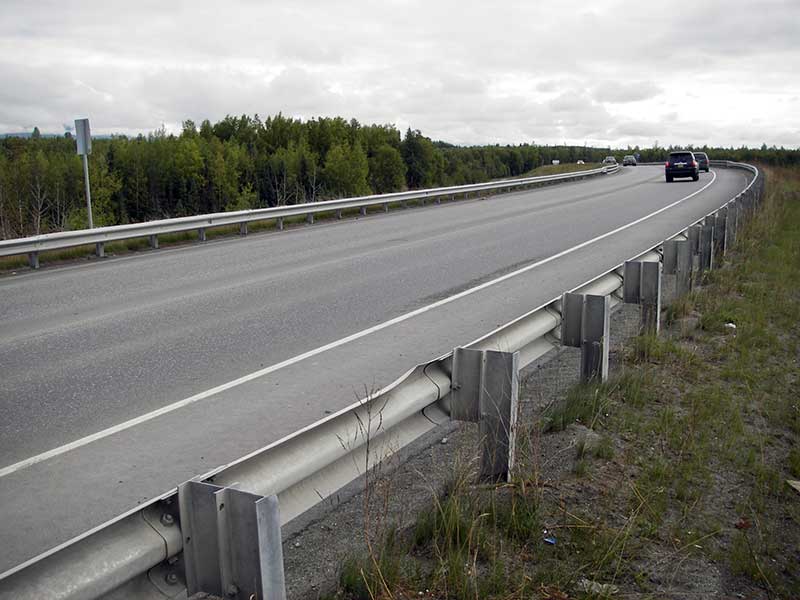
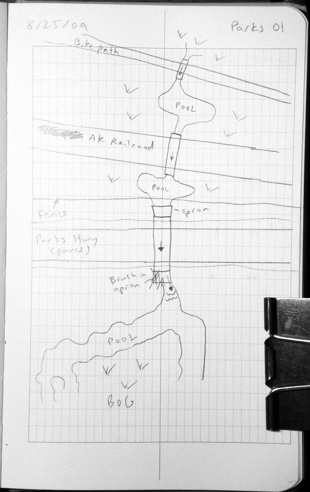
Road Name: Parks Highway
Datum: WGS84
Quad Name / ITM: Anchorage C-7
AWC Stream #:
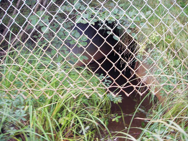
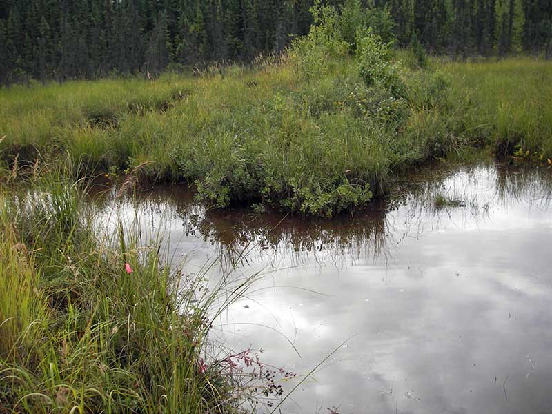
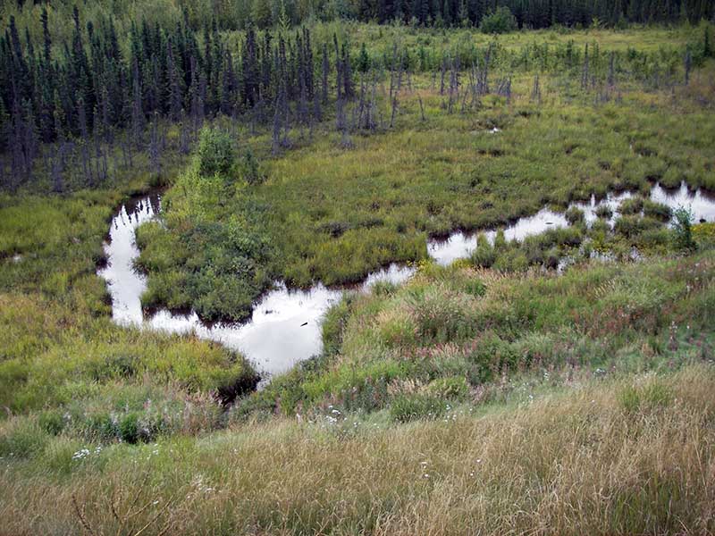
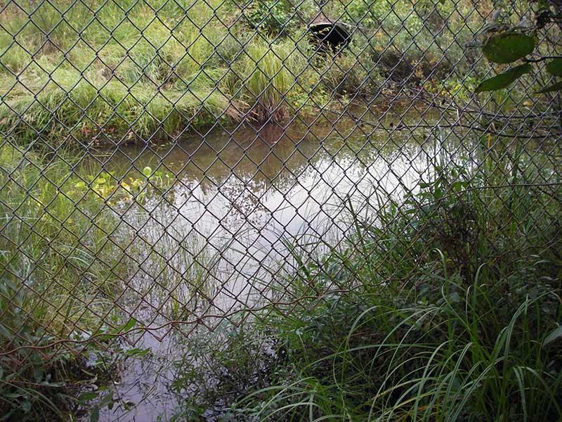
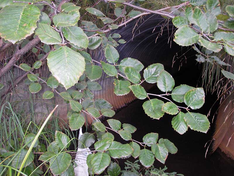
Stream Name: Wetland drainage
Elevation:
Site Comments: None
Survey MSB09-PRK01
Project Supervisor: Gillian O'Doherty, ADFG
Observers: Heidi Zimmer, Ben Histand
Overall Fish Passage Rating:
Tidal: No
Backwatered: Yes
Step Pools: No
Construction Year:
Site Observations:
- None of this type
Comments: TWC > INVOUT > INVIN = Backwatered; no fish caught.
Culvert Measurements
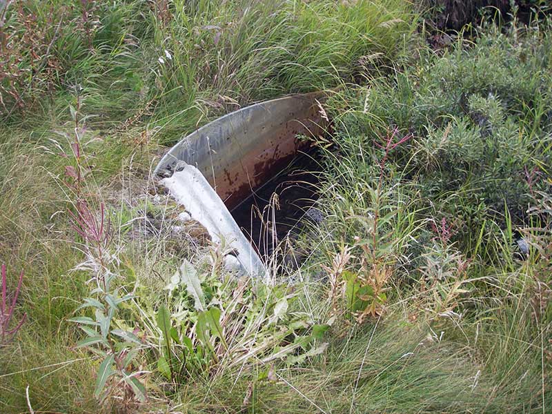
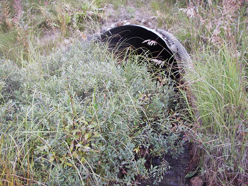
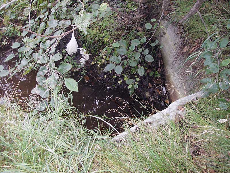
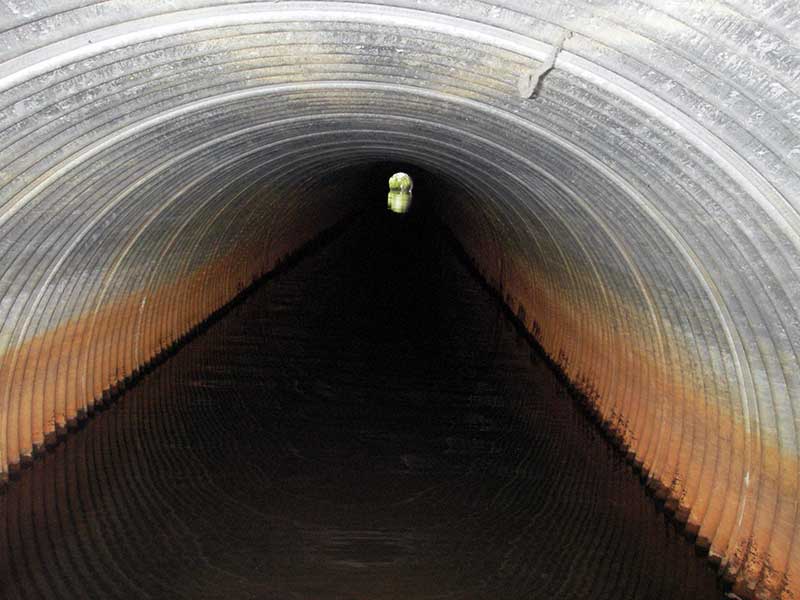
| ID: 1 | Structure Type: Circular pipe (Corrugated steel) | Fish Passage Rating: | |||||||||||||||||||||||||||||||||||||||||
|
|
|
|||||||||||||||||||||||||||||||||||||||||
Culvert Observations:
|
|||||||||||||||||||||||||||||||||||||||||||
Stream Measurements
|
|
No stream width data available.
Elevations
| Locator ID | Culvert Number |
River Distance (ft)1 |
Distance From Crossing (ft)2 |
Relative Elevation (ft) |
|---|---|---|---|---|
| Outlet Pool Water Elev | 1 | 96.44 | ||
| U/S Headwater | 1 | 96.46 | ||
| D/S Water Surface Elev (channel goes to muck) | 1 | 0.00 | 20.0 | 96.19 |
| D/S Thalweg (end of apron) | 1 | 13.00 | 7.0 | 96.22 |
| D/S Tailcrest or 1st Thalweg | 1 | 15.70 | 4.3 | 96.26 |
| D/S Water Surface Elev (@TWC) | 1 | 15.70 | 4.3 | 96.43 |
| Outlet Invert | 1 | 20.00 | 0.0 | 96.05 |
| Inlet Culvert Invert (on substrate) | 1 | 220.50 | 0.0 | 95.95 |
| U/S Thalweg (end of apron / u/s is still pool) | 1 | 227.50 | 7.0 | 96.00 |
Notes:
- River distance is measured continuously throughout the survey reach along the thalweg of the stream.
- Measured from each end of the crossing along the thalweg of the stream.
Fish Sampling Efforts
| Gear Type: Minnow Trap (A) | Trap Duration(h): 1.5 | |
| Comments: no fish caught; 25ft d/s | ||
Fish Observations
No fish observations occurred during this survey.
Photos
Questions or comments about this report can be directed to dfg.dsf.webmaster@alaska.gov