Fish Passage Site 20501219
Coordinates (dec. deg.): 61.31416°, -150.03020°
Legal Description: S014N004W08
Region: South Central
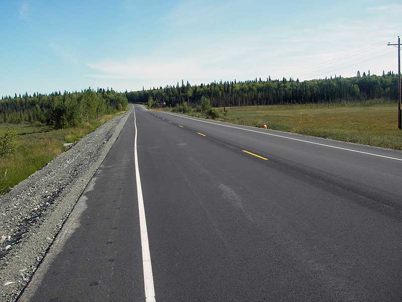
Road Name: Point MacKenzie Road
Datum: WGS84
Quad Name / ITM: Tyonek B-1
AWC Stream #:
Stream Name: Unnamed lake outlet
Elevation:
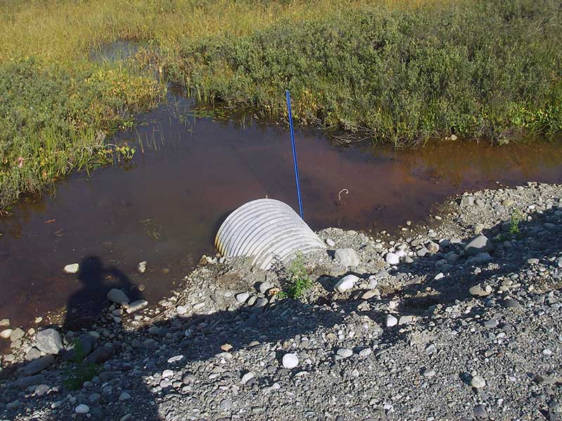
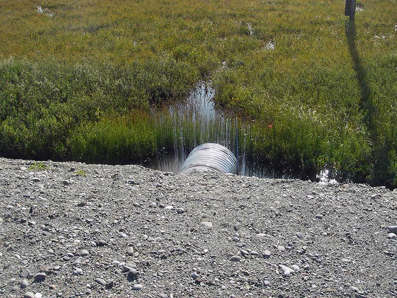
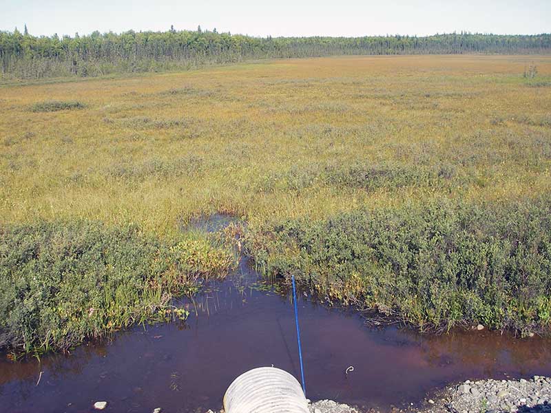
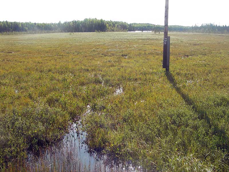
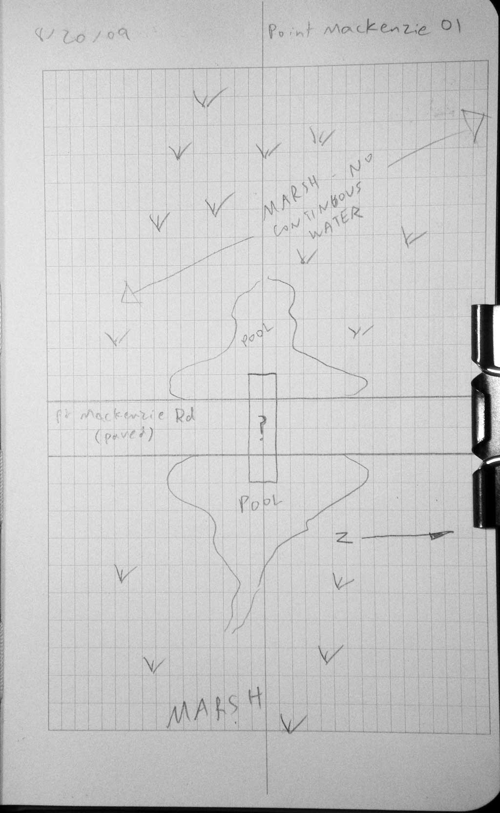
Site Comments: connects marshes that drain a lake
Survey MSB09-PMR01
Project Supervisor: Gillian O'Doherty, ADFG
Observers: Heidi Zimmer, Ben Histand
Overall Fish Passage Rating:
Tidal: No
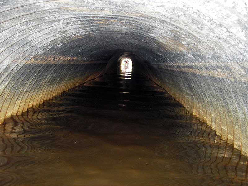
Backwatered: Yes
Step Pools: No
Construction Year:
Site Observations:
- None of this type
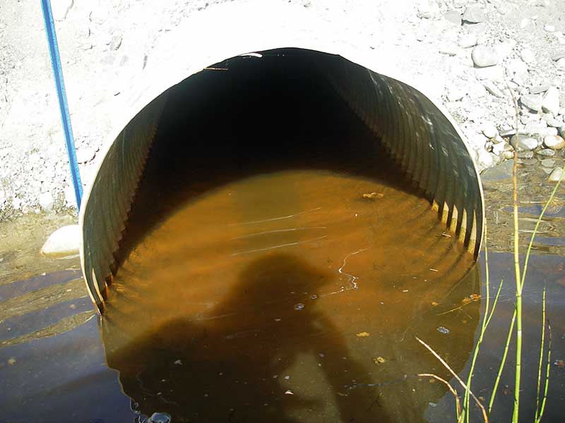
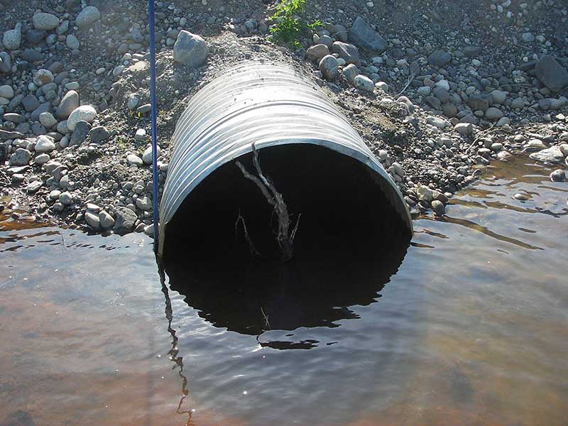
Comments: Connects marshes that drain a lake w/RT; rd looks recently paved. HWS = TWS = backwatered.
Culvert Measurements
| ID: 1 | Structure Type: Circular pipe (Corrugated steel) | Fish Passage Rating: | |||||||||||||||||||||||||||||||||||||||||
|
|
|
|||||||||||||||||||||||||||||||||||||||||
Comments: Connects marshes that drain a lake w/RT; road looks recently paved. HWS = TWS = backwatered |
|||||||||||||||||||||||||||||||||||||||||||
Culvert Observations:
|
|||||||||||||||||||||||||||||||||||||||||||
Stream Measurements
|
|
No stream width data available.
Elevations
| Locator ID | Culvert Number |
River Distance (ft)1 |
Distance From Crossing (ft)2 |
Relative Elevation (ft) |
|---|---|---|---|---|
| U/S Headwater | 1 | 98.16 | ||
| Outlet Pool Water Elev | 1 | 98.16 | ||
| D/S Thalweg (d/s becomes marsh ~15') | 1 | 0.00 | 5.0 | 97.25 |
| Outlet Invert (on substrate (west end)) | 1 | 5.00 | 0.0 | 96.96 |
| Road Elev | 1 | 45.00 | 105.89 | |
| Inlet Culvert Invert ((east end)) | 1 | 85.60 | 0.0 | 96.97 |
| U/S Thalweg | 1 | 85.60 | 0.0 | 96.76 |
Notes:
- River distance is measured continuously throughout the survey reach along the thalweg of the stream.
- Measured from each end of the crossing along the thalweg of the stream.
Fish Sampling Efforts
| Gear Type: Minnow Trap (A) | Trap Duration(h): 0.67 | |
| Comments: no fish caught; 10ft u/s | ||
| Gear Type: Minnow Trap (B) | Trap Duration(h): 0.67 | |
| Comments: 10ft d/s | ||
Fish Observations
| Species: stickleback-unspecified | Life History: Resident | ||
| Total Fish Observed: 2 | Fish Measured: | Fork Lengths (mm) Min: Max: Mean: | |
| Collected/Observed by Gear Type: Downstream Minnow Trap (2) | |||
Photos
Questions or comments about this report can be directed to dfg.dsf.webmaster@alaska.gov