Fish Passage Site 20501215
Coordinates (dec. deg.): 61.77355°, -149.27199°
Legal Description: S020N001E33
Region: South Central
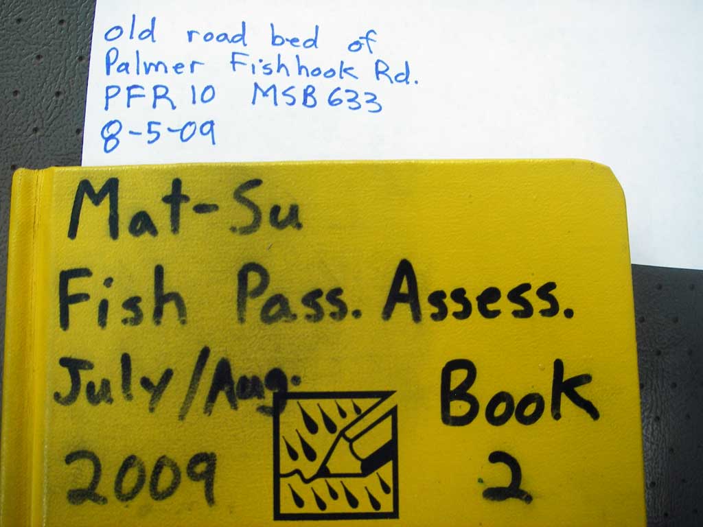
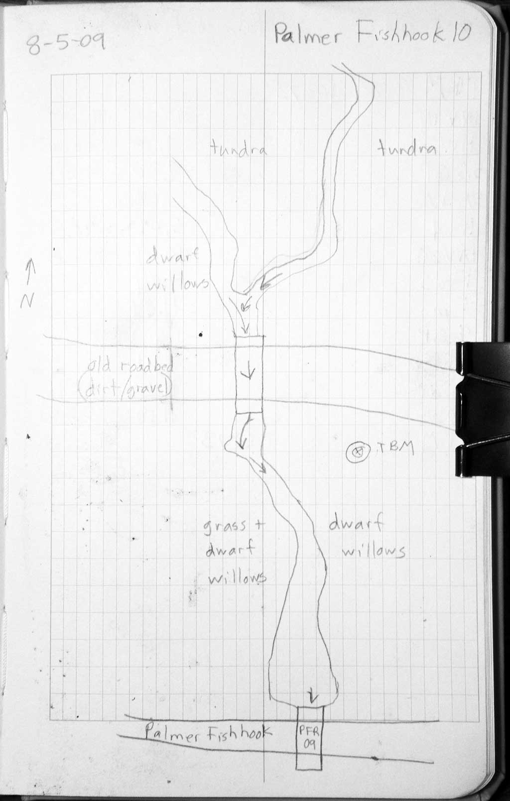
Road Name: Old Palmer Fishhook Road
Datum: WGS84
Quad Name / ITM: Anchorage D-7
AWC Stream #:
Stream Name: Fishhook Creek tributary
Elevation:
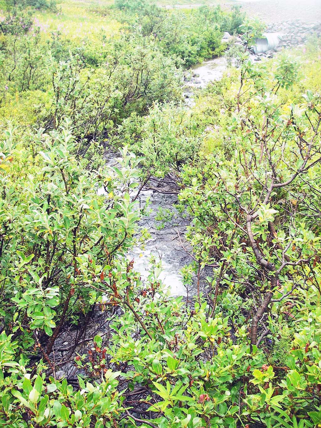
Site Comments: Abandoned road bed u/s of hatcher pass road 100'. Downstream from site PFR09.
Survey MSB09-PFR10
Project Supervisor: Gillian O'Doherty, ADFG
Observers: Heidi Zimmer, Ben Histand, Gillian O'Doherty
Overall Fish Passage Rating:
Tidal: No
Backwatered: No
Step Pools: No
Construction Year:
Site Observations:
- Constriction ratio red
- Culvert gradient gray
Comments: Site is downstream from PFR09.
Culvert Measurements
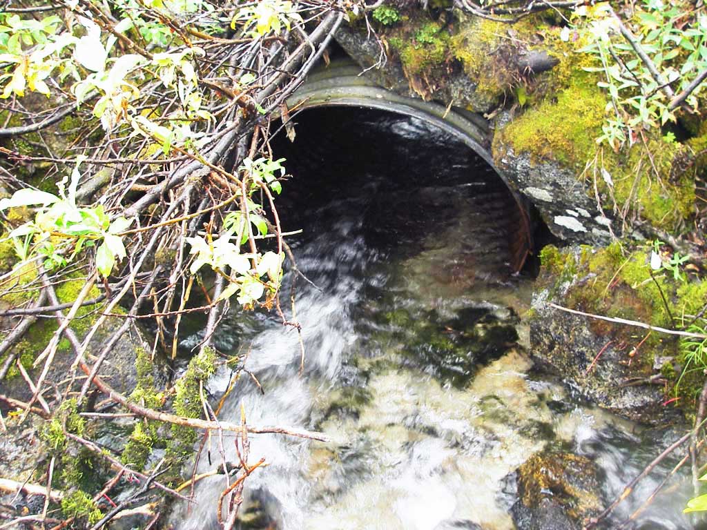
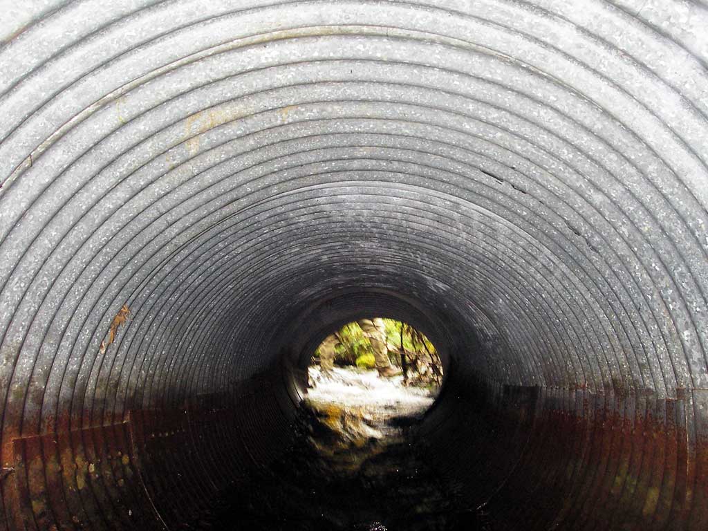
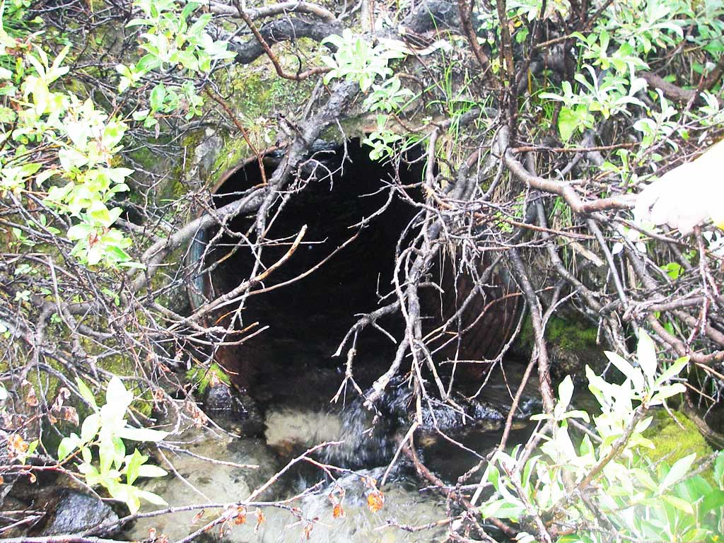
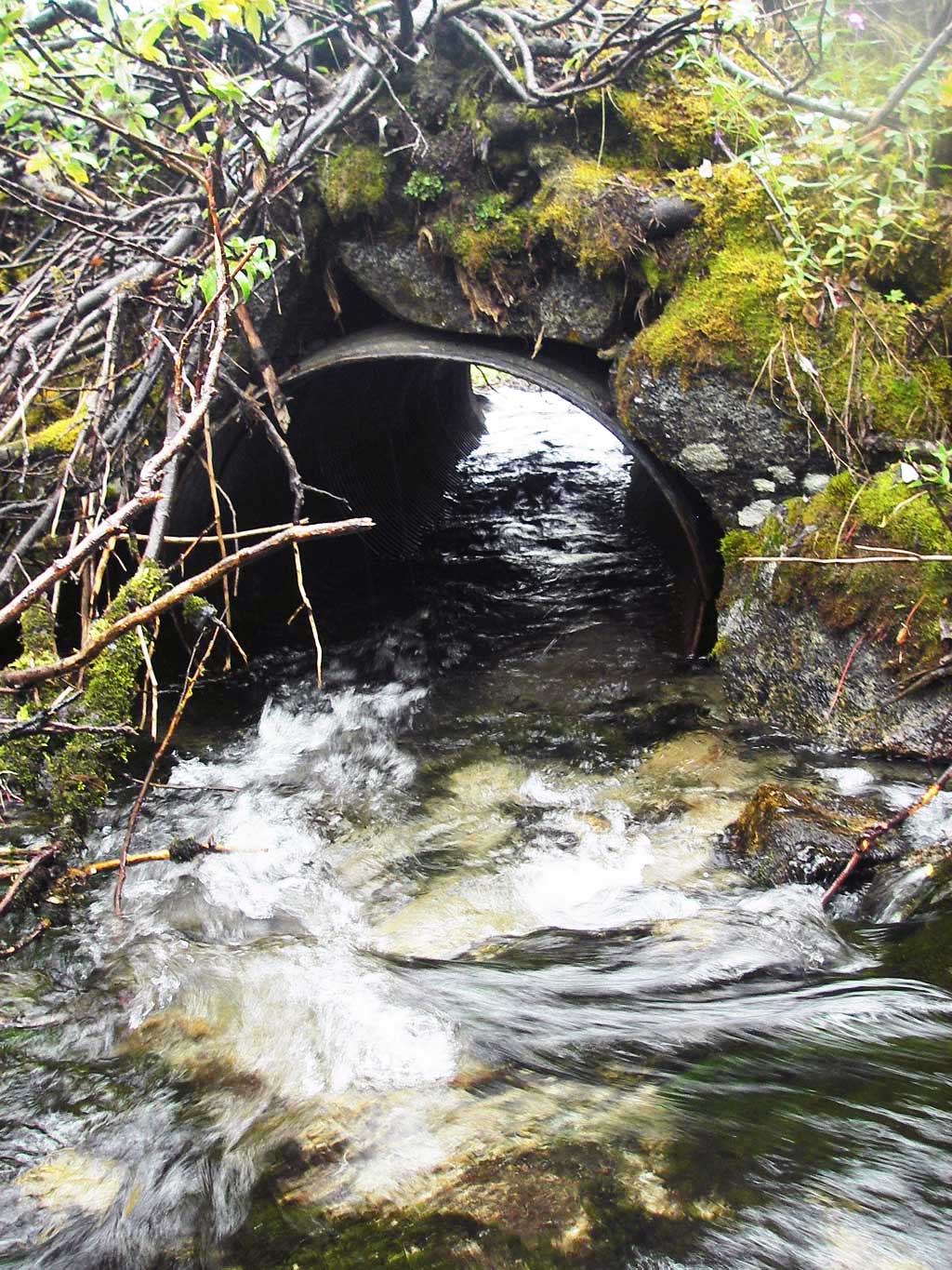
| ID: 1 | Structure Type: Circular pipe (Corrugated steel) | Fish Passage Rating: | |||||||||||||||||||||||||||||||||||||||||
|
|
|
|||||||||||||||||||||||||||||||||||||||||
Culvert Observations:
|
|||||||||||||||||||||||||||||||||||||||||||
Stream Measurements
|
|
| Stream Width Type | Distance From Crossing (ft) |
Stream Width (ft) |
|---|---|---|
| Downstream ordinary high water | 11.00 | |
| Downstream ordinary high water | 7.00 | |
| Downstream ordinary high water | 6.50 |
Elevations
| Locator ID | Culvert Number |
River Distance (ft)1 |
Distance From Crossing (ft)2 |
Relative Elevation (ft) |
|---|---|---|---|---|
| D/S Grade Ctrl (Thalweg) | 1 | 0.00 | 20.0 | 92.11 |
| D/S Water Surface Elev (ws @ gp) | 1 | 0.00 | 20.0 | 92.55 |
| D/S Grade Ctrl (Thalweg) (1st gp d/s; no clear TWC) | 1 | 11.00 | 9.0 | 93.11 |
| D/S Water Surface Elev (ws @ gp) | 1 | 11.00 | 9.0 | 93.84 |
| D/S Thalweg | 1 | 15.00 | 5.0 | 92.69 |
| Outlet Invert | 1 | 20.00 | 0.0 | 93.32 |
| Outlet Pool Water Elev | 1 | 20.00 | 93.89 | |
| Road Elev | 1 | 30.00 | 98.64 | |
| U/S Headwater | 1 | 40.50 | 94.45 | |
| Inlet Culvert Invert (thalweg on substrate) | 1 | 40.50 | 0.0 | 93.49 |
| U/S Water Surface Elev (ws @ gp) | 1 | 46.00 | 5.5 | 95.05 |
| U/S Grade Ctrl (Thalweg) | 1 | 46.00 | 5.5 | 94.43 |
Notes:
- River distance is measured continuously throughout the survey reach along the thalweg of the stream.
- Measured from each end of the crossing along the thalweg of the stream.
Fish Sampling Efforts
No fish sampling occurred during this survey.
Fish Observations
No fish observations occurred during this survey.
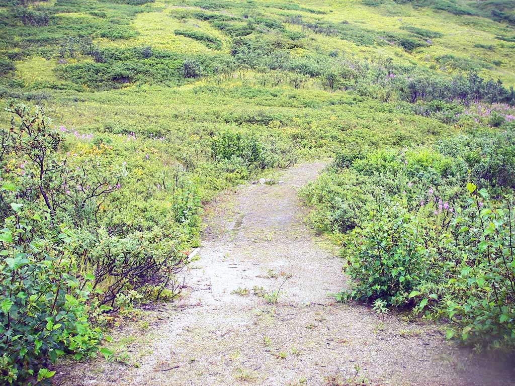
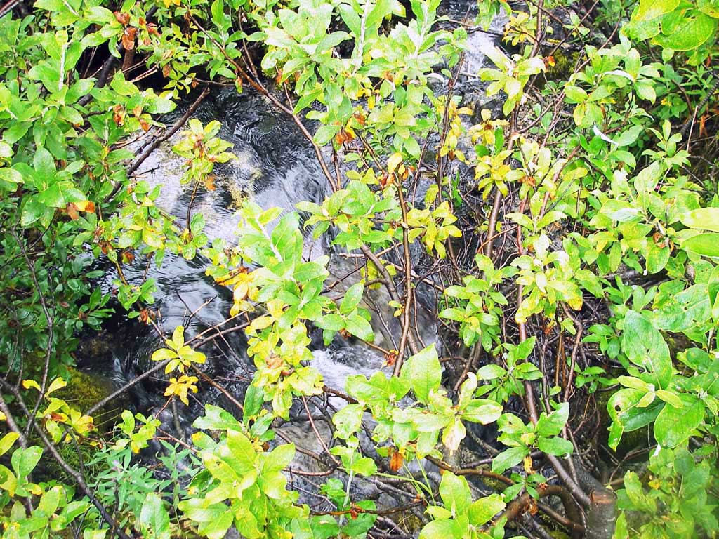
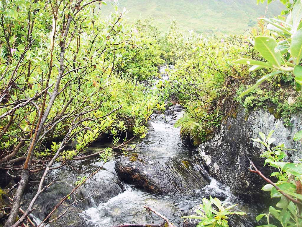
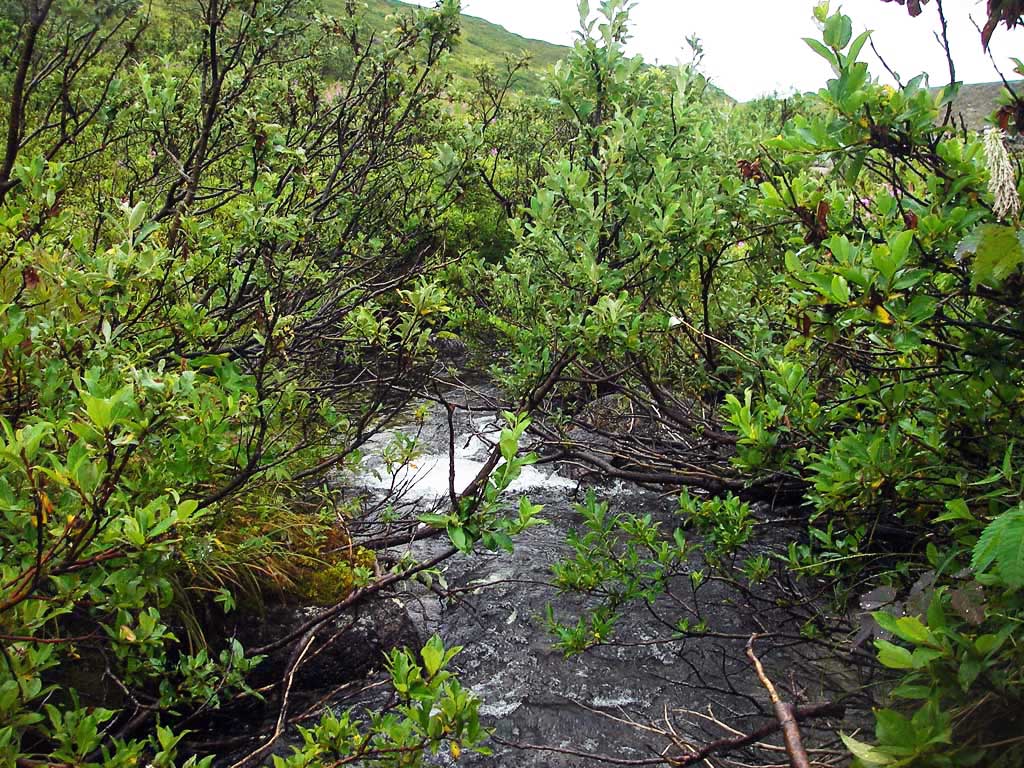
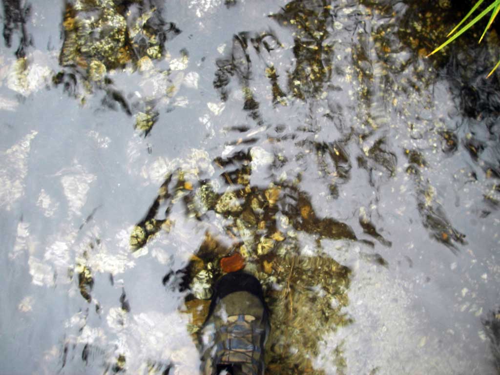
Photos
Questions or comments about this report can be directed to dfg.dsf.webmaster@alaska.gov