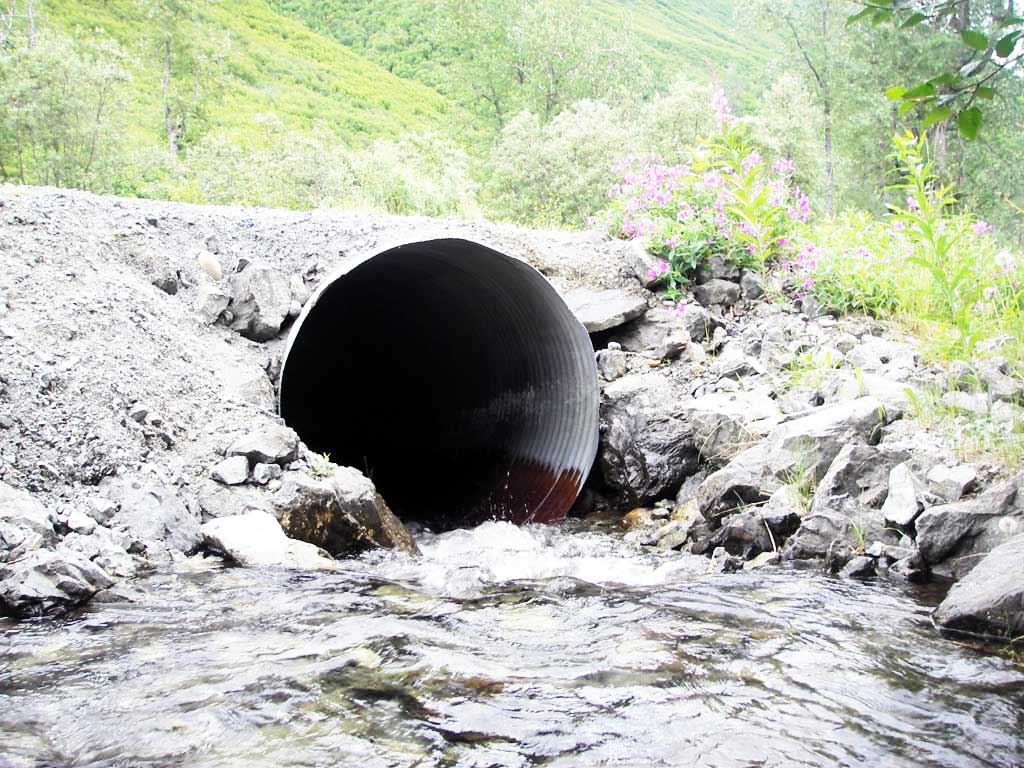
Fish Passage Site 20501207
Coordinates (dec. deg.): 61.74695°, -149.23218°
Legal Description: S019N001E11
Region: South Central
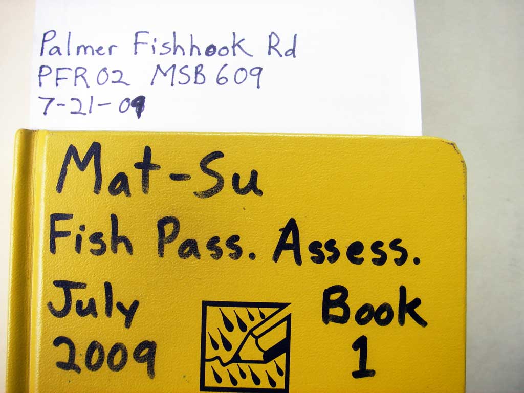
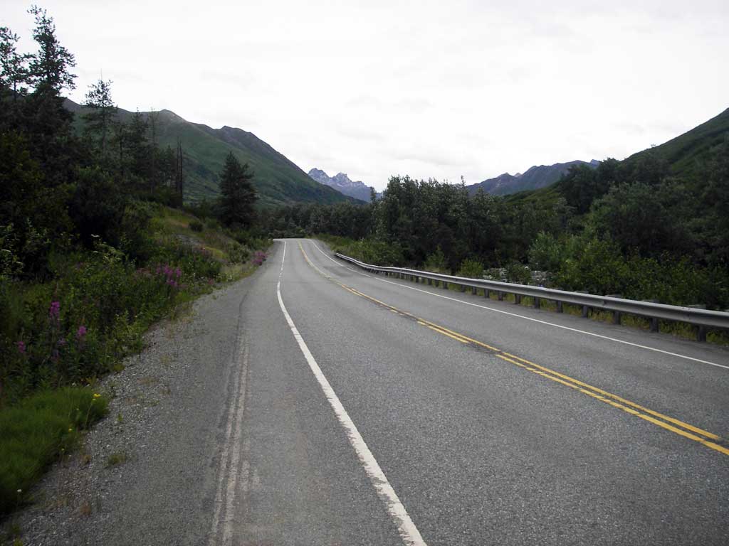
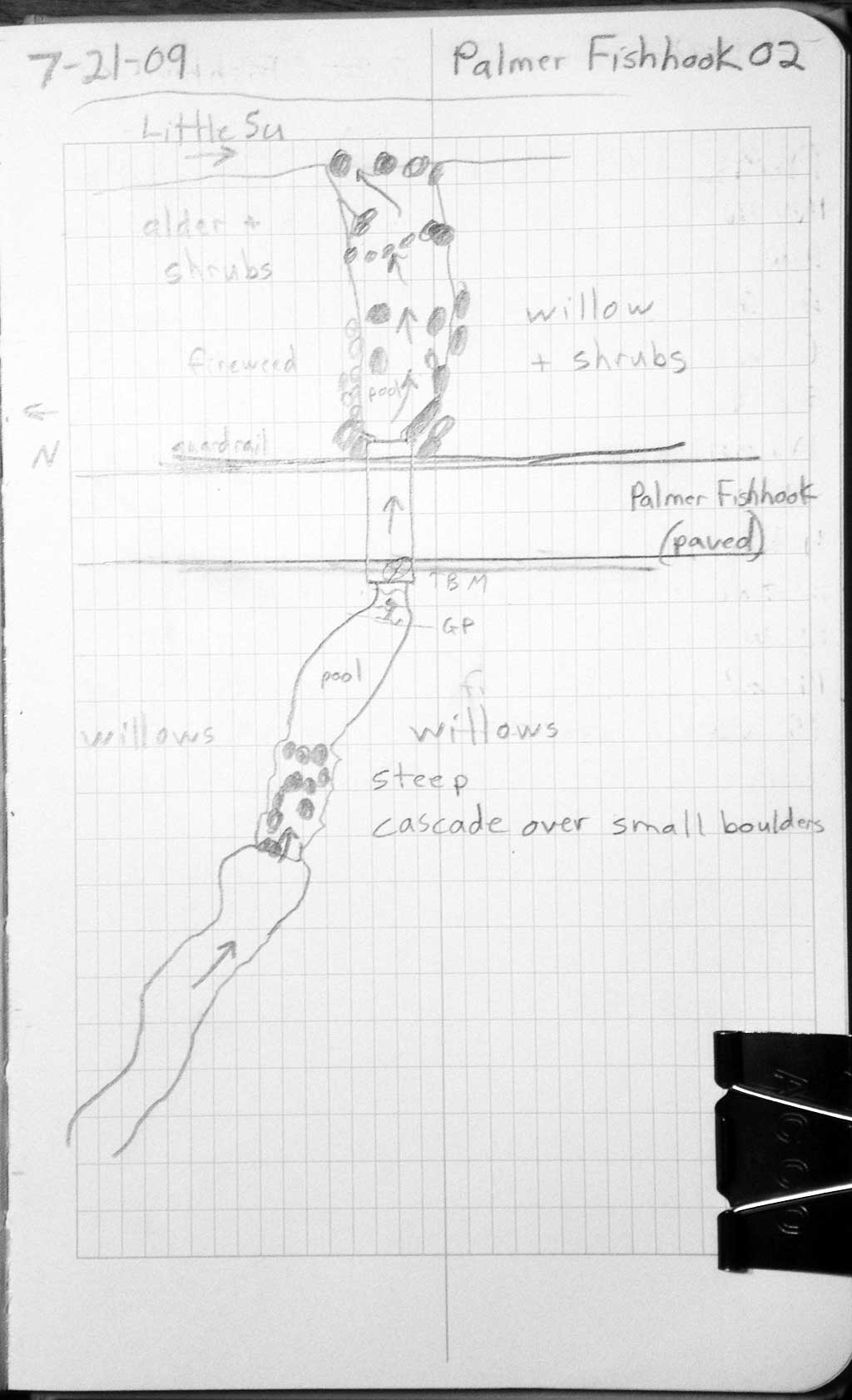
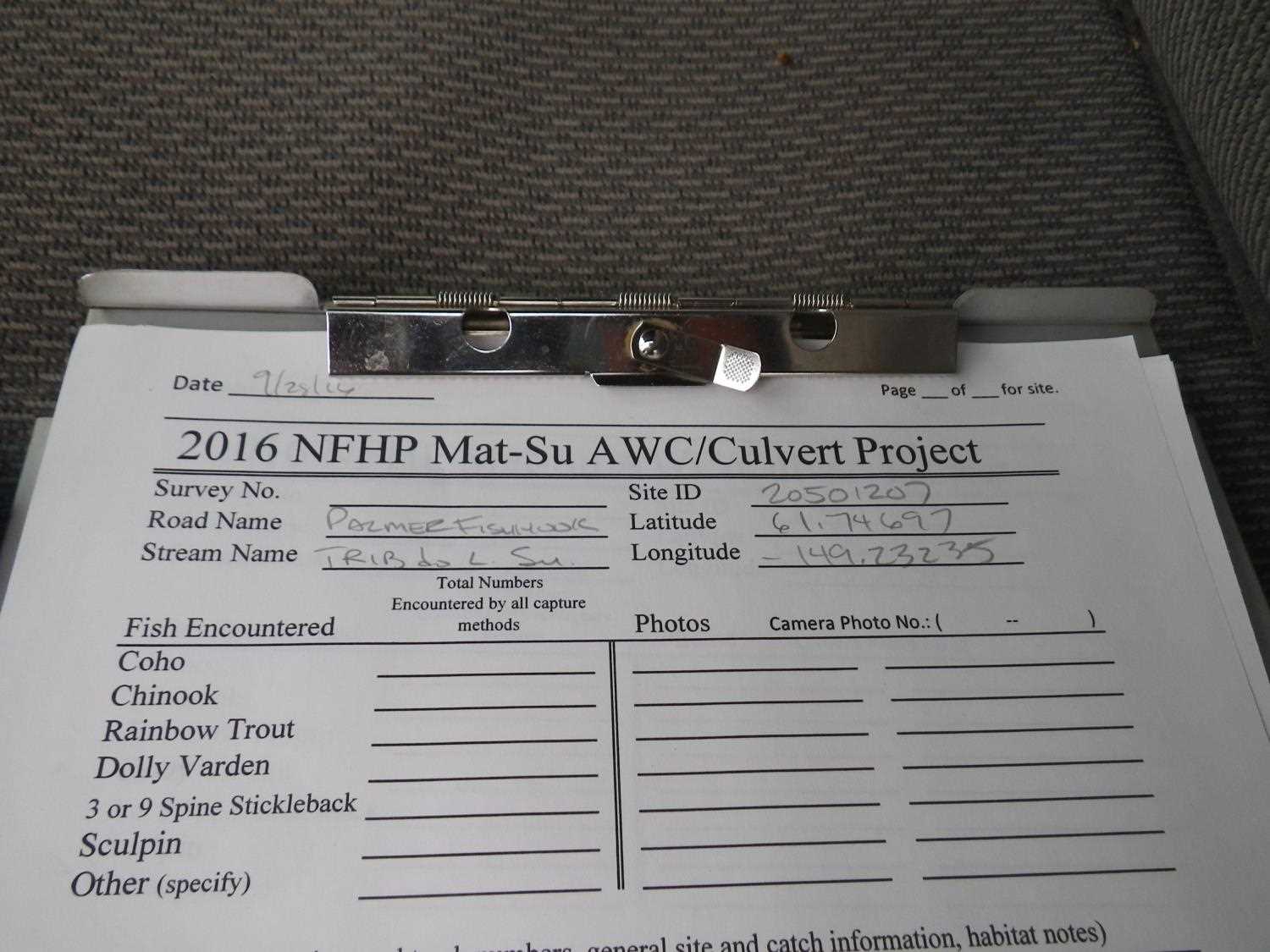
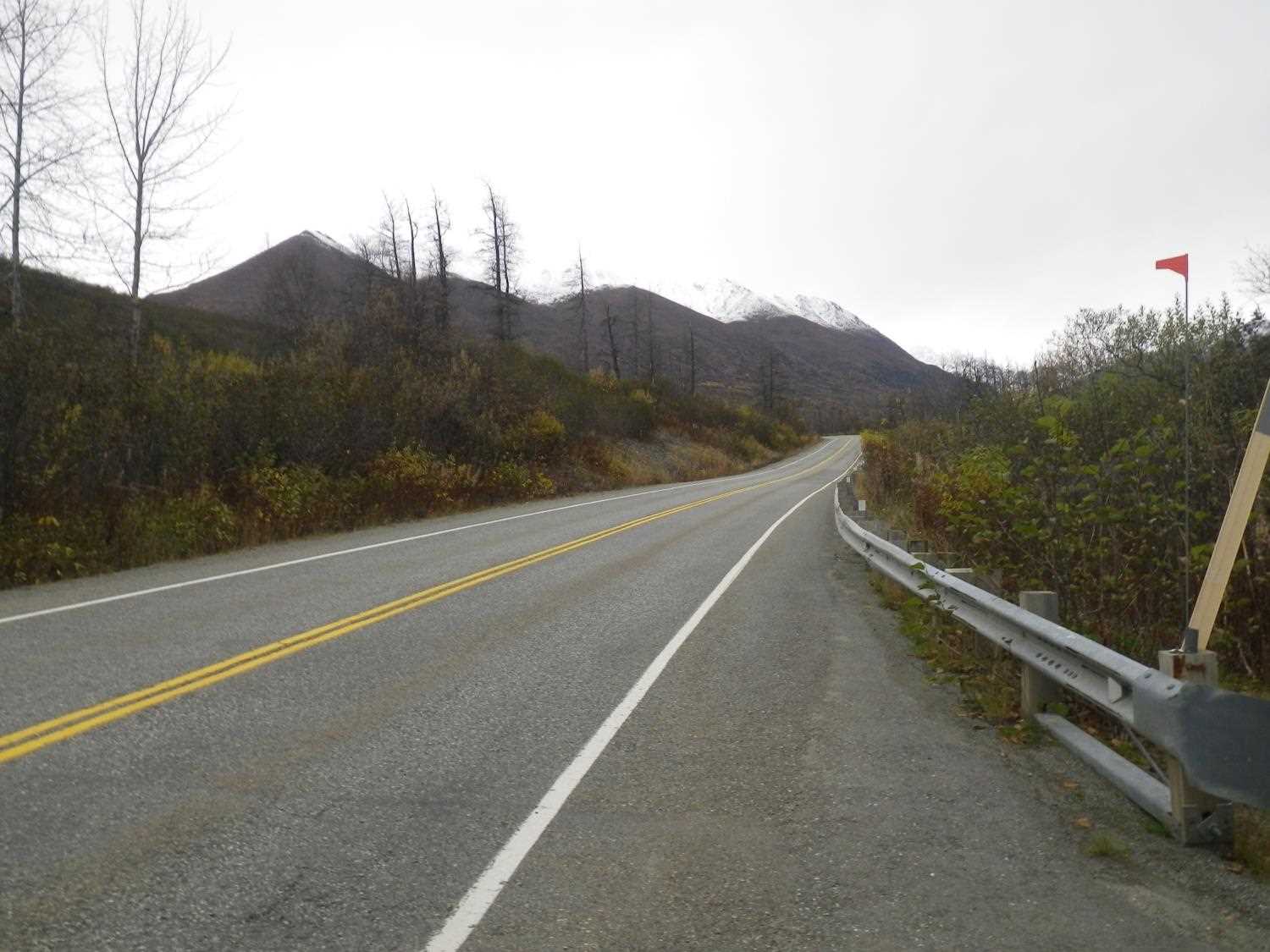
Road Name: Palmer Fishhook Road
Datum: WGS84
Quad Name / ITM: Anchorage C-6
AWC Stream #:
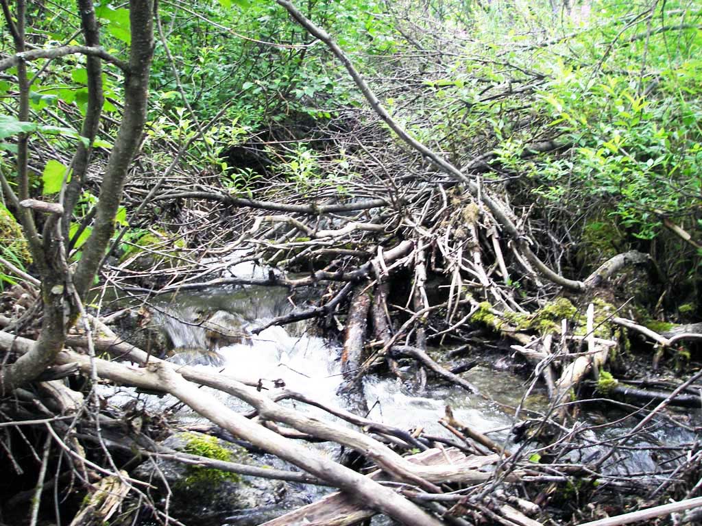
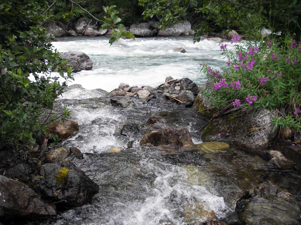
Stream Name: Little Susitna River tributary
Elevation:
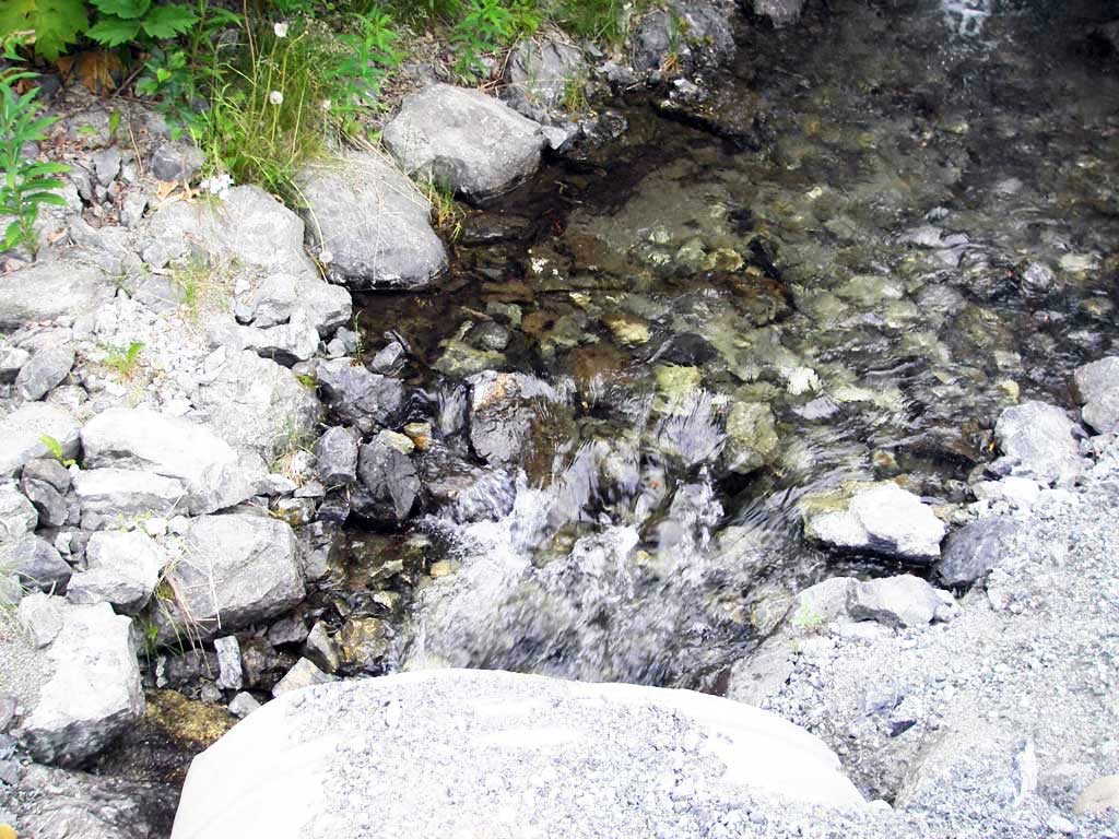
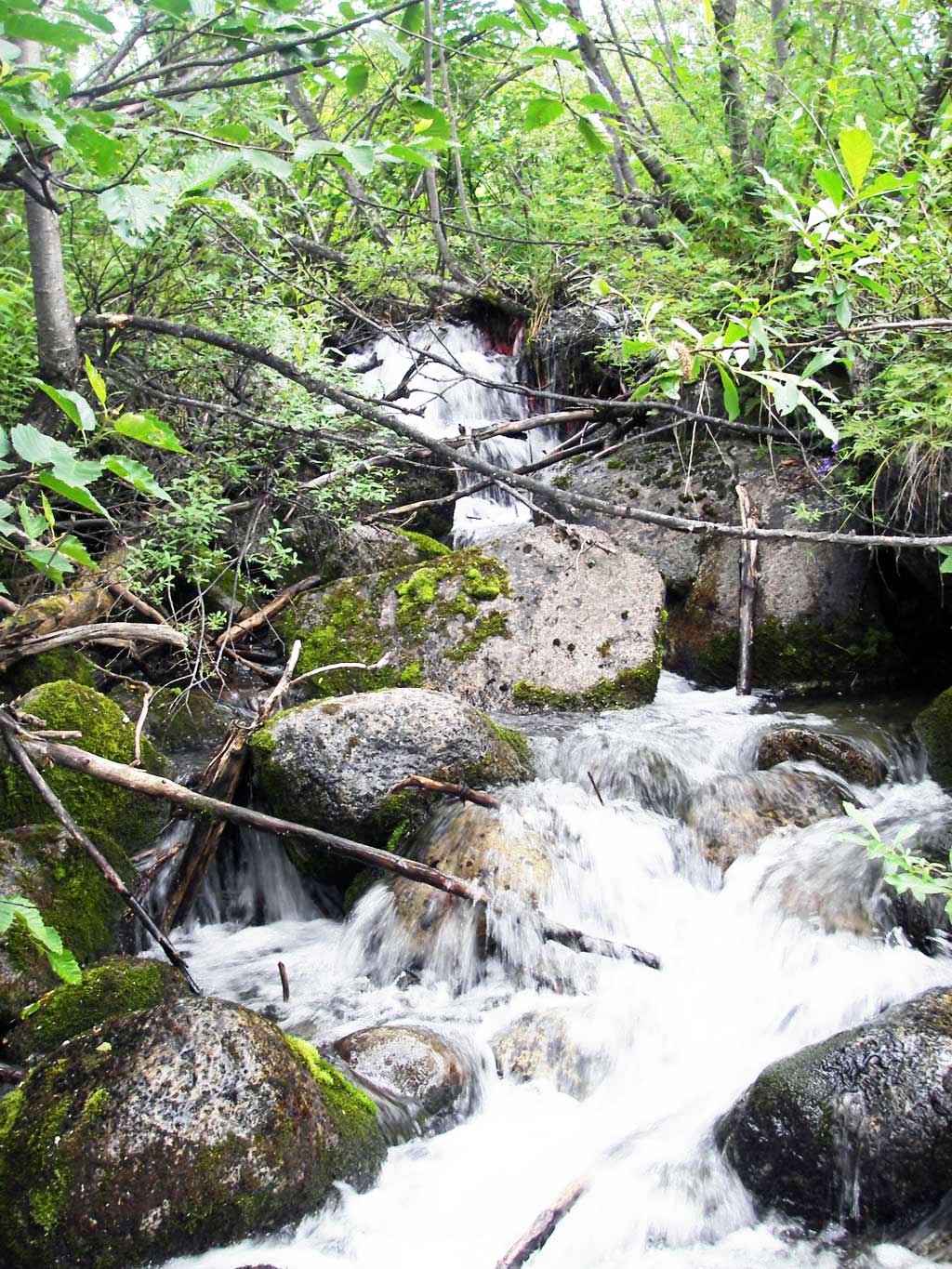
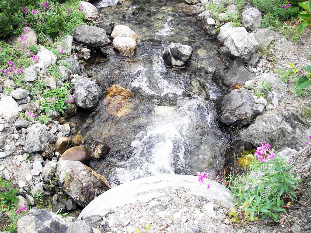
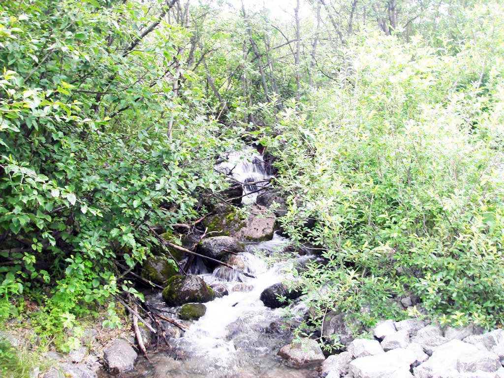
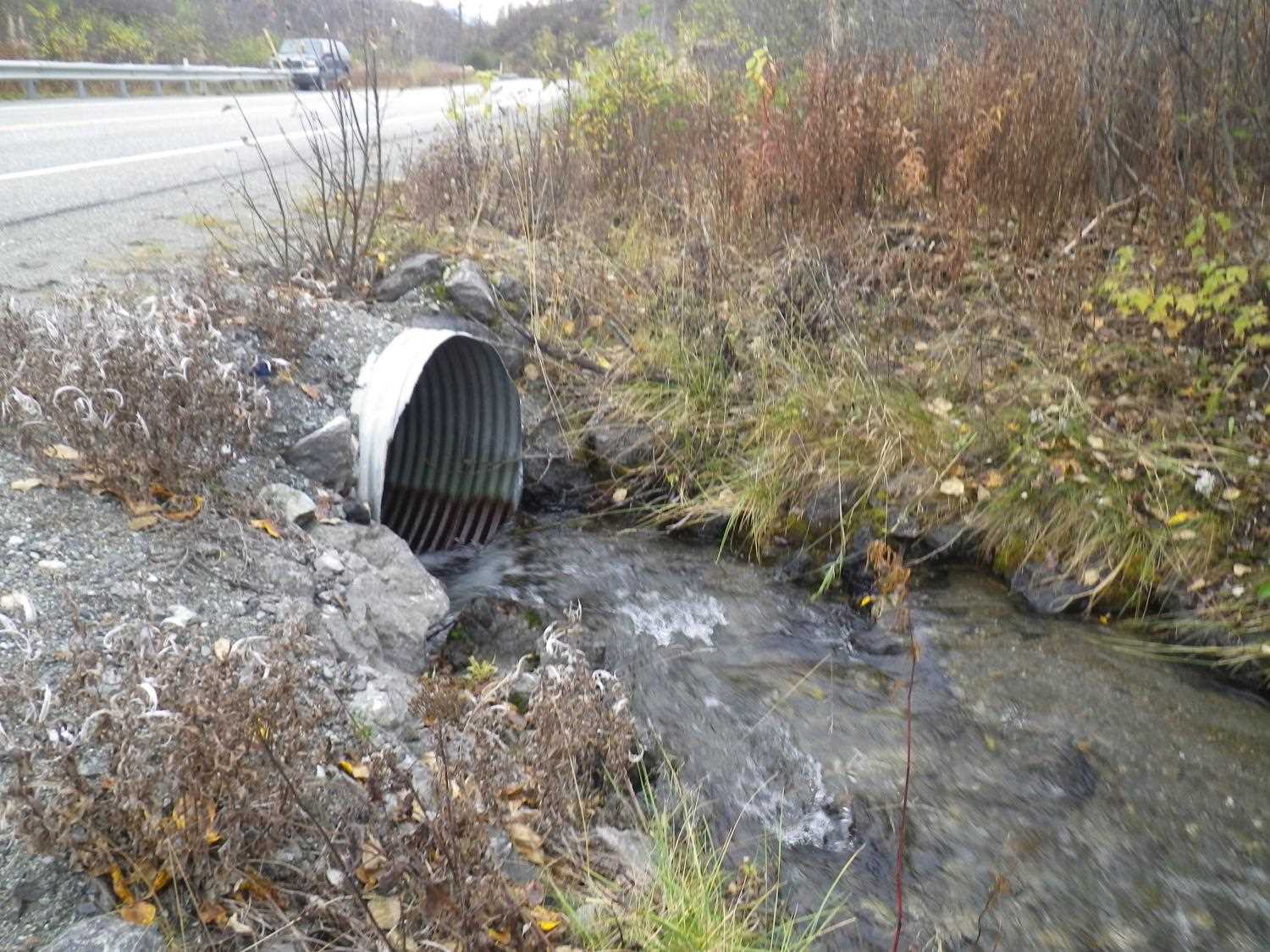
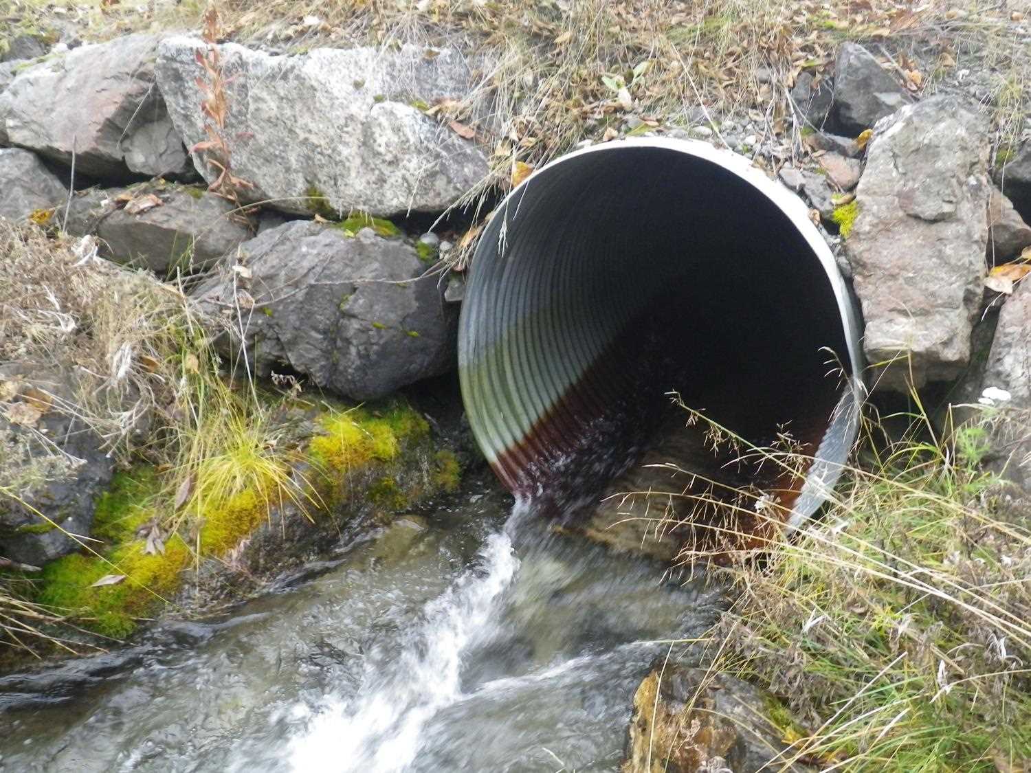
Site Comments: Confluence with Little Su almost directly downstream from outlet.
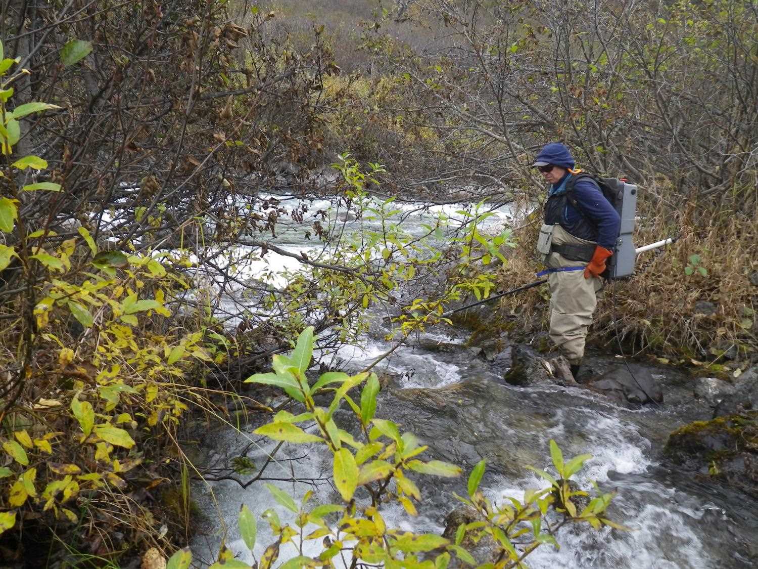
Survey MSB09-PFR02
Project Supervisor: Gillian O'Doherty, ADFG
Observers: Heidi Zimmer, Ben Histand
Overall Fish Passage Rating:
Tidal: No
Backwatered: No
Step Pools: No
Construction Year:
Site Observations:
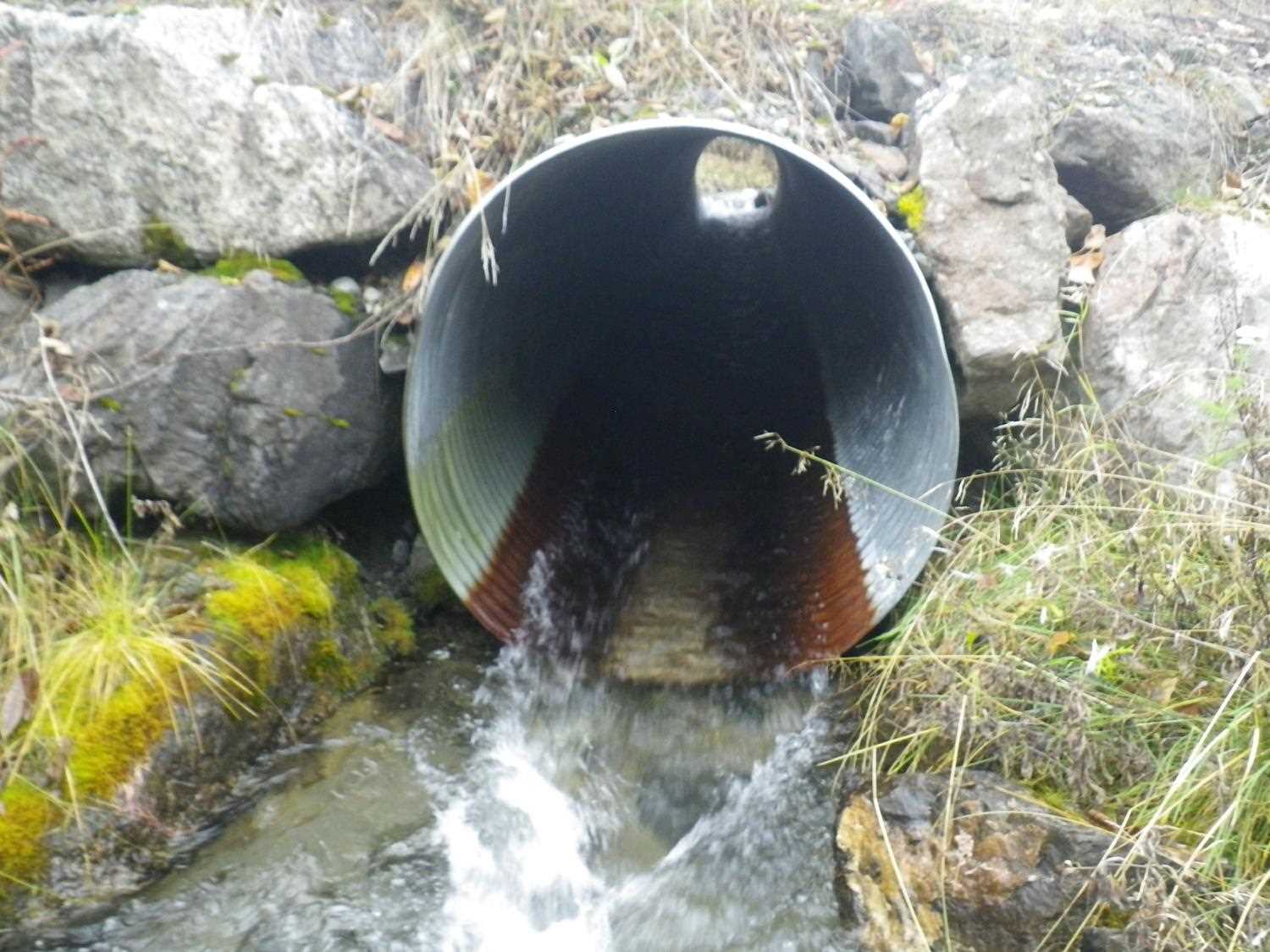
- Culvert gradient red
- Outfall height gray
- Constriction ratio gray
- Shallow fill; inadequate roadfill volume above culvert
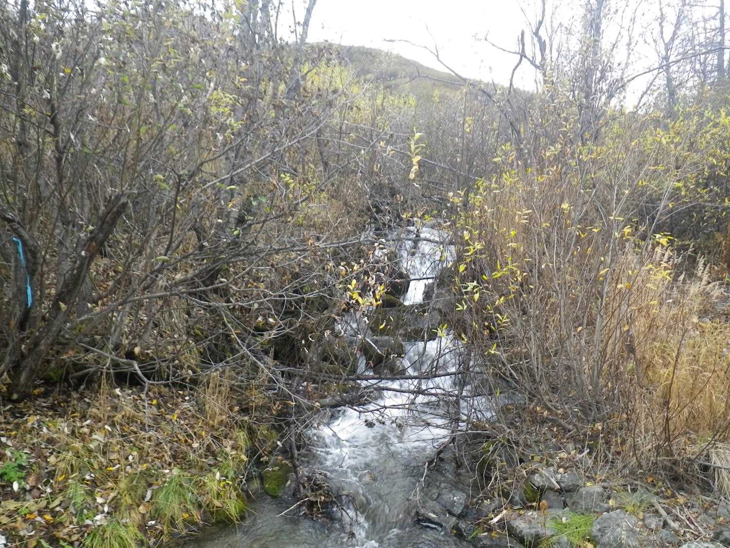
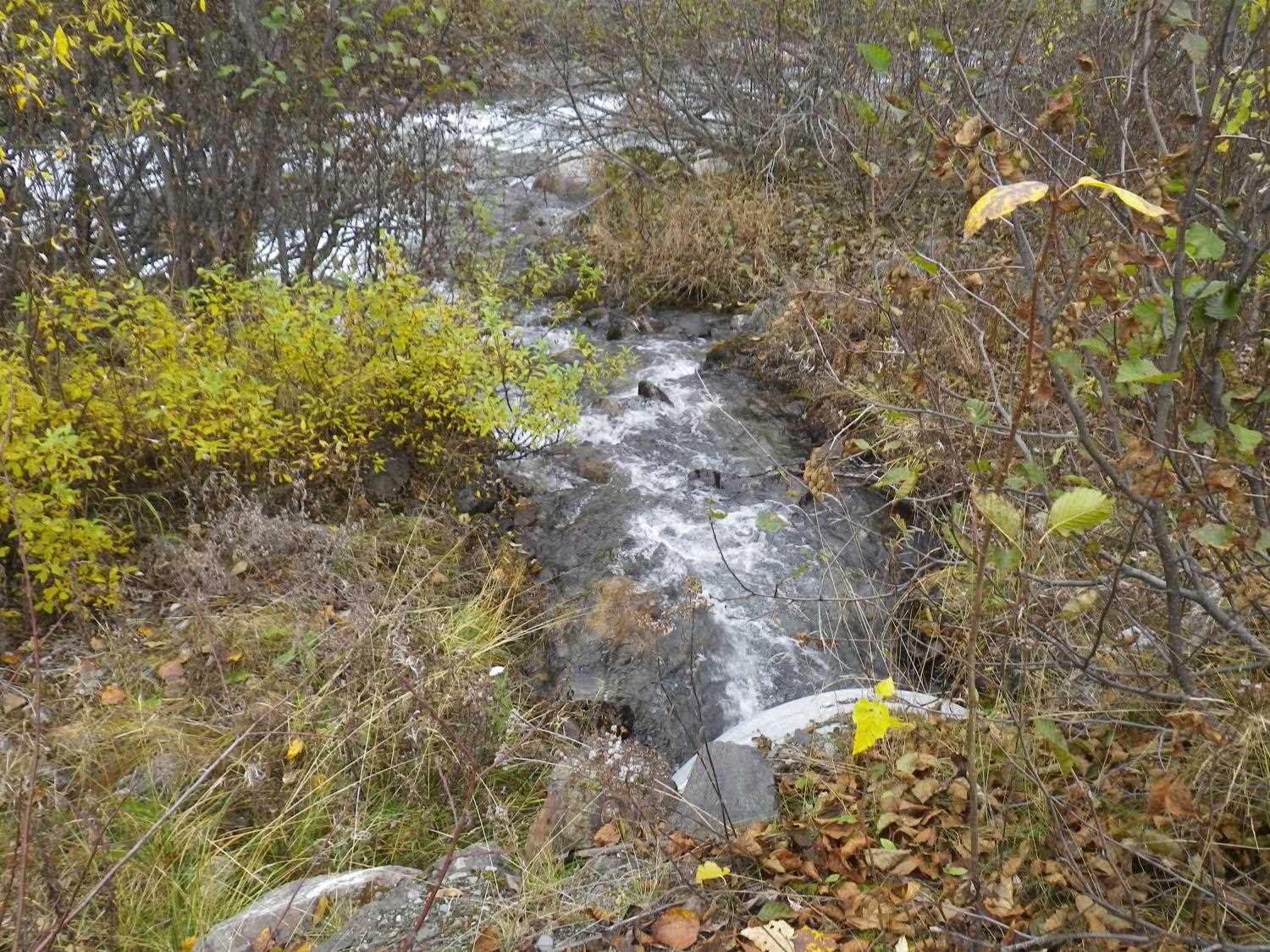
Comments: **Updated site photos and fish sampling information added from 9/28/16 site visit from Sampling Unmapped Streams in the MSB project. Nice Dolly Varden habitat up to barrier falls, no fish captured or observed.
Culvert Measurements
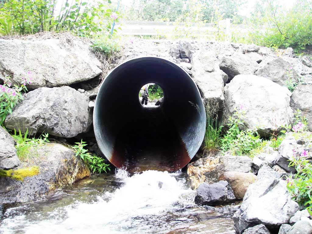
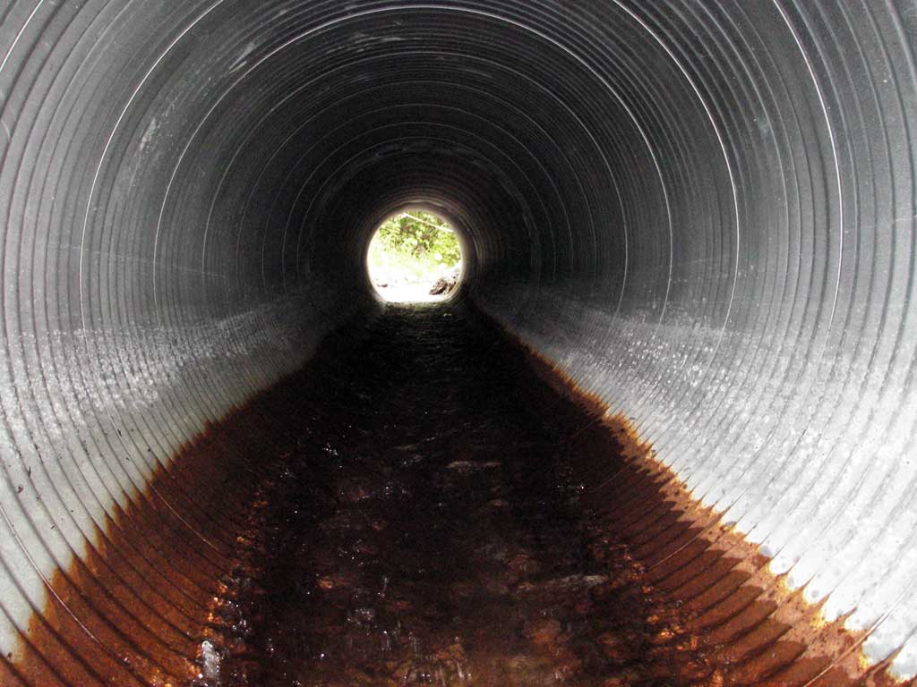
| ID: 1 | Structure Type: Circular pipe (Corrugated steel) | Fish Passage Rating: | |||||||||||||||||||||||||||||||||||||||||
|
|
|
|||||||||||||||||||||||||||||||||||||||||
Culvert Observations:
|
|||||||||||||||||||||||||||||||||||||||||||
Stream Measurements
|
|
| Stream Width Type | Distance From Crossing (ft) |
Stream Width (ft) |
|---|---|---|
| Upstream ordinary high water | 78.0 | 9.50 |
| Upstream ordinary high water | 101.0 | 6.50 |
| Upstream ordinary high water | 132.0 | 8.00 |
Elevations
| Locator ID | Culvert Number |
River Distance (ft)1 |
Distance From Crossing (ft)2 |
Relative Elevation (ft) |
|---|---|---|---|---|
| D/S Grade Ctrl (Thalweg) | 1 | 0.00 | 19.0 | 91.64 |
| D/S Water Surface Elev | 1 | 0.00 | 19.0 | 92.33 |
| D/S Tailcrest or 1st Thalweg | 1 | 10.50 | 8.5 | 92.33 |
| D/S Water Surface Elev | 1 | 10.50 | 8.5 | 92.72 |
| D/S Thalweg (bottom of pool) | 1 | 14.20 | 4.8 | 91.33 |
| Outlet Invert | 1 | 19.00 | 0.0 | 92.56 |
| Outlet Pool Water Elev | 1 | 19.00 | 92.72 | |
| Road Elev | 1 | 43.50 | 100.12 | |
| Inlet Culvert Invert | 1 | 68.50 | 0.0 | 95.52 |
| U/S Headwater | 1 | 68.50 | 96.07 | |
| U/S Grade Ctrl (Thalweg) (TC of 1st pool u/s) | 1 | 74.50 | 6.0 | 96.49 |
| U/S Water Surface Elev | 1 | 74.50 | 6.0 | 96.95 |
Notes:
- River distance is measured continuously throughout the survey reach along the thalweg of the stream.
- Measured from each end of the crossing along the thalweg of the stream.
Fish Sampling Efforts
No fish sampling occurred during this survey.
Fish Observations
No fish observations occurred during this survey.
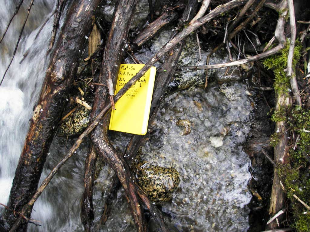
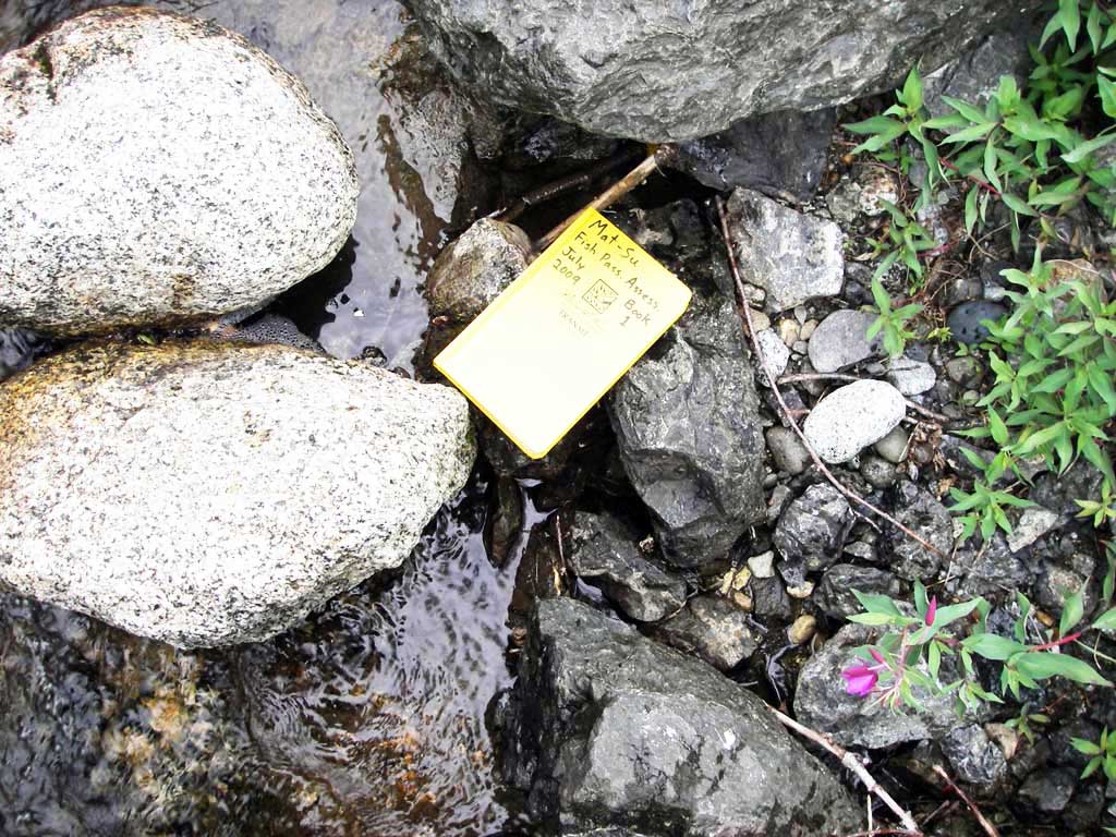
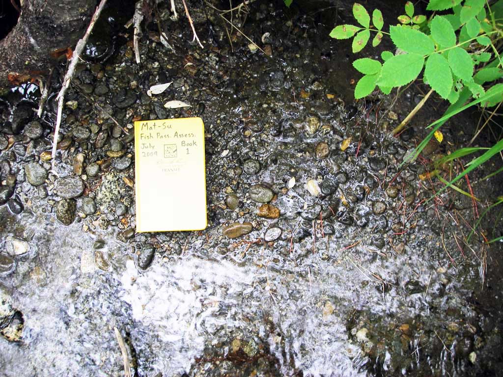
Photos
Questions or comments about this report can be directed to dfg.dsf.webmaster@alaska.gov