Fish Passage Site 20501205
Coordinates (dec. deg.): 61.58122°, -149.59407°
Legal Description: S017N002W11
Region: South Central
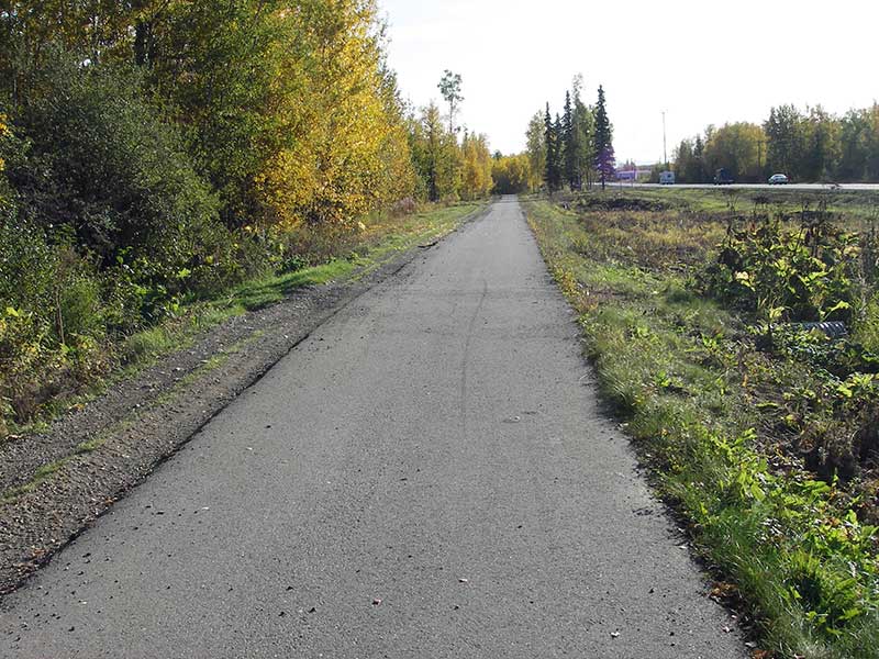
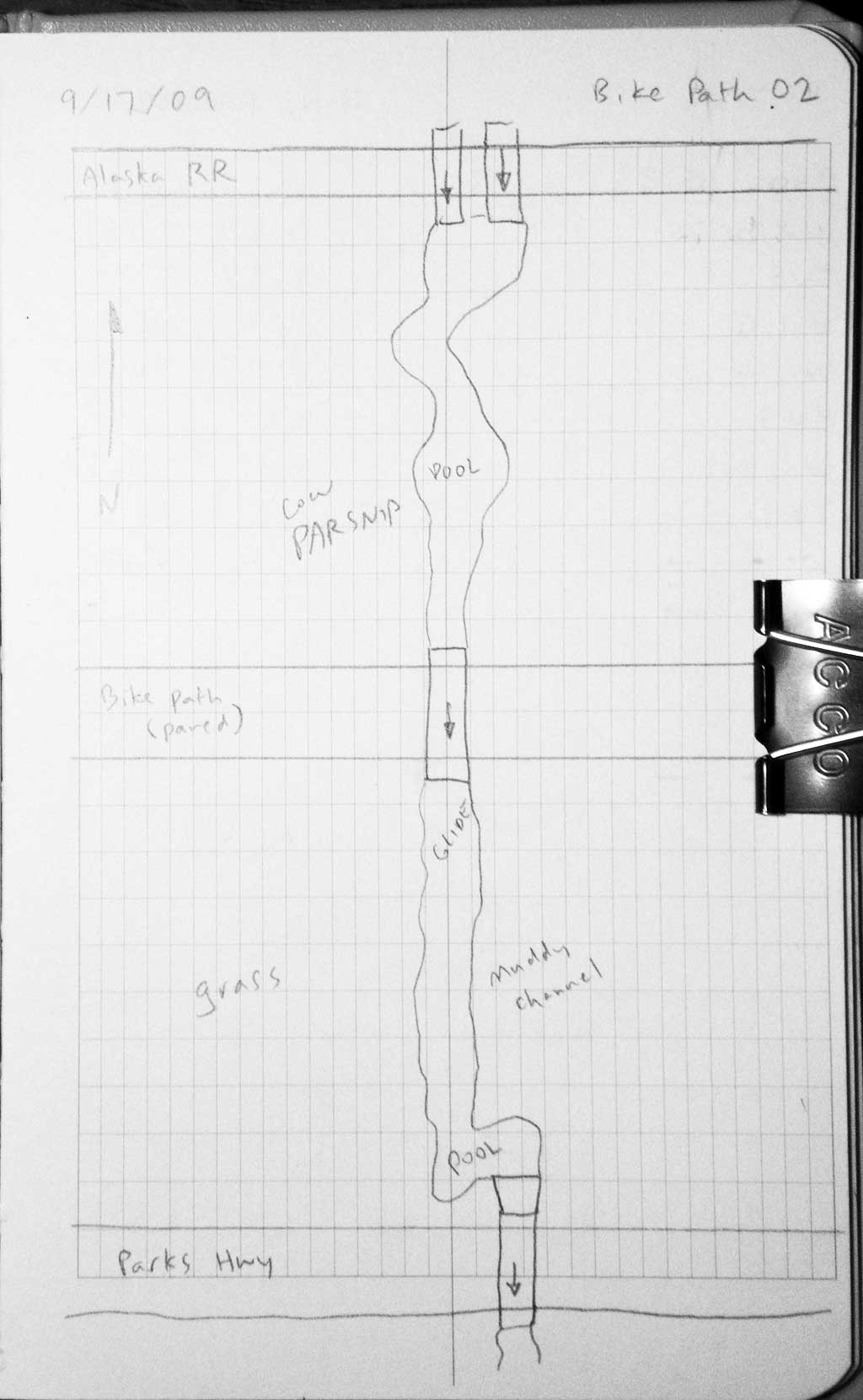
Road Name: Bike Path
Datum: WGS84
Quad Name / ITM: Anchorage C-7
AWC Stream #:
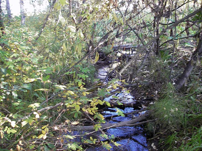
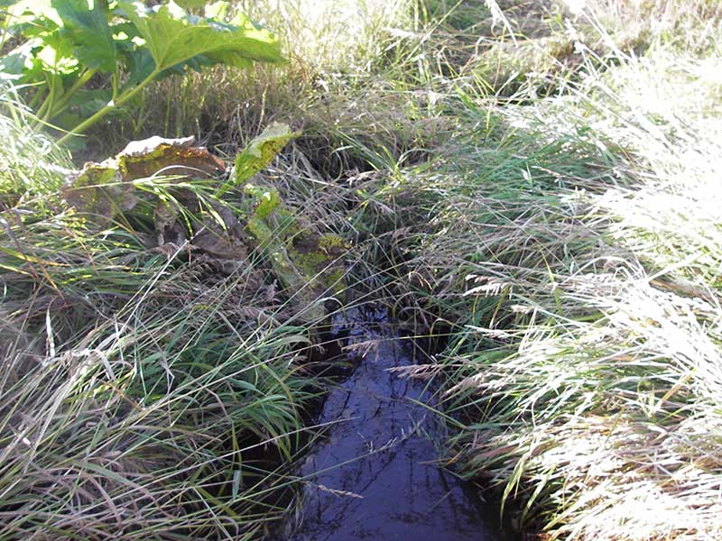
Stream Name: Unnamed
Elevation:
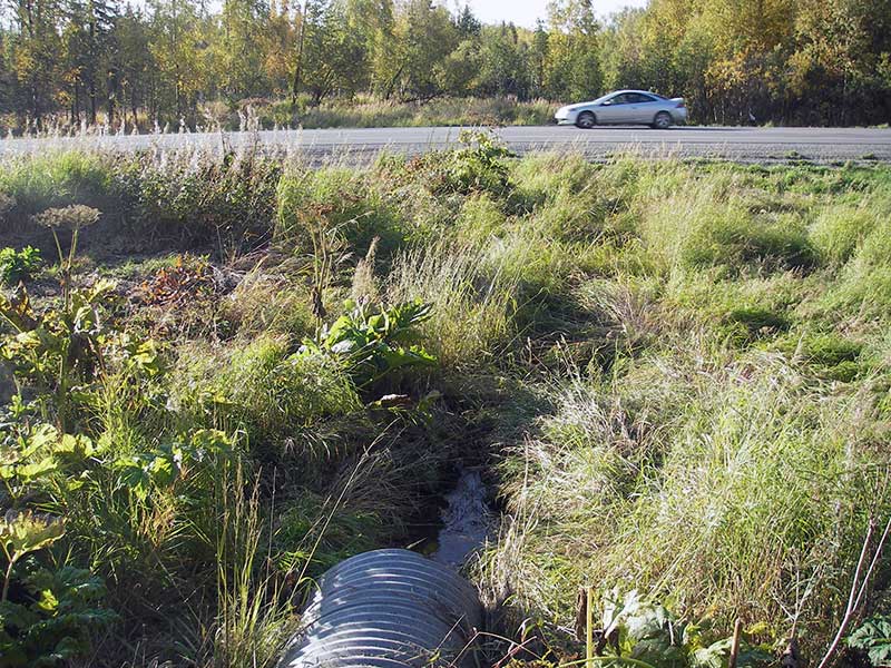
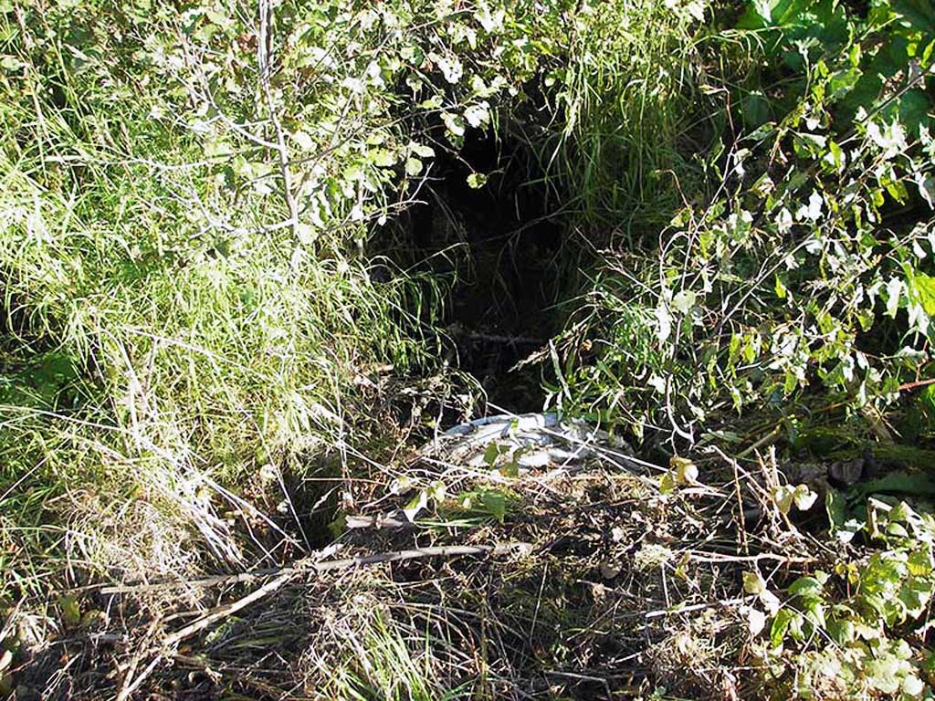
Site Comments: Site is between Parks Hwy and RR on bike path.
Survey MSB09-PBP02
Project Supervisor: Gillian O'Doherty, ADFG
Observers: Gillian O'Doherty, Ben Histand
Overall Fish Passage Rating:
Tidal: No
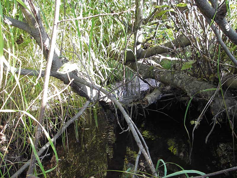
Backwatered: Yes
Step Pools: No
Construction Year:
Site Observations:
- None of this type
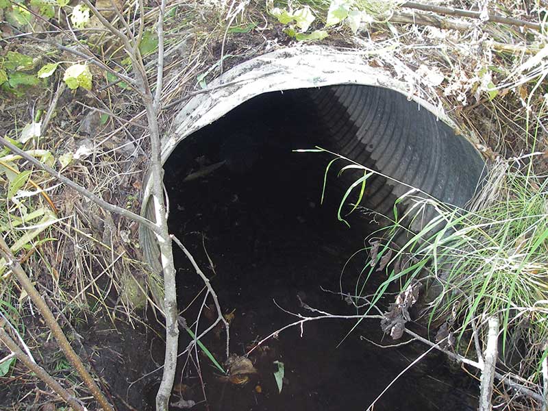
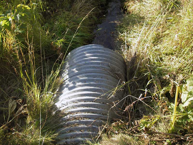
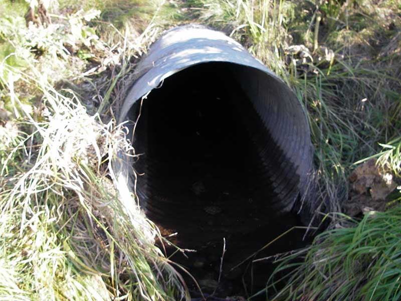
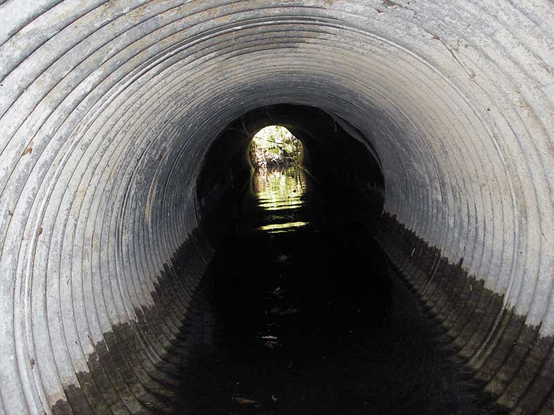
Comments: Site is between Parks Hwy and RR on bike path. Spiral corrugated pipe.
Culvert Measurements
| ID: 1 | Structure Type: Circular pipe (Corrugated steel) | Fish Passage Rating: | |||||||||||||||||||||||||||||||||||||||||
|
|
|
|||||||||||||||||||||||||||||||||||||||||
Comments: Culvert has adverse gradient. |
|||||||||||||||||||||||||||||||||||||||||||
Culvert Observations:
|
|||||||||||||||||||||||||||||||||||||||||||
Stream Measurements
|
|
| Stream Width Type | Distance From Crossing (ft) |
Stream Width (ft) |
|---|---|---|
| Upstream ordinary high water | 20.0 | 3.40 |
| Upstream ordinary high water | 35.0 | 4.00 |
| Upstream ordinary high water | 50.0 | 3.80 |
Elevations
| Locator ID | Culvert Number |
River Distance (ft)1 |
Distance From Crossing (ft)2 |
Relative Elevation (ft) |
|---|---|---|---|---|
| Outlet Pool Water Elev | 1 | 97.56 | ||
| U/S Headwater (pool immed. u/s) | 1 | 97.56 | ||
| D/S Water Surface Elev (d/s WS) | 1 | 0.00 | 4.0 | 97.49 |
| Outlet Invert | 1 | 4.00 | 0.0 | 97.04 |
| Road Elev ((bike path)) | 1 | 22.00 | 101.77 | |
| Inlet Culvert Invert | 1 | 40.00 | 0.0 | 96.98 |
Notes:
- River distance is measured continuously throughout the survey reach along the thalweg of the stream.
- Measured from each end of the crossing along the thalweg of the stream.
Fish Sampling Efforts
No fish sampling occurred during this survey.
Fish Observations
No fish observations occurred during this survey.
Photos
Questions or comments about this report can be directed to dfg.dsf.webmaster@alaska.gov