Fish Passage Site 20501204
Coordinates (dec. deg.): 61.58094°, -149.57300°
Legal Description: S017N002W11
Region: South Central
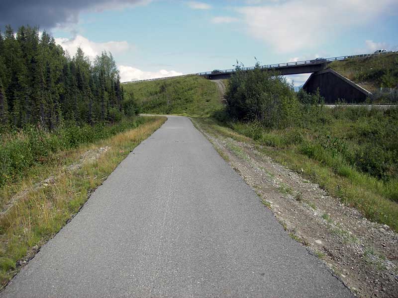
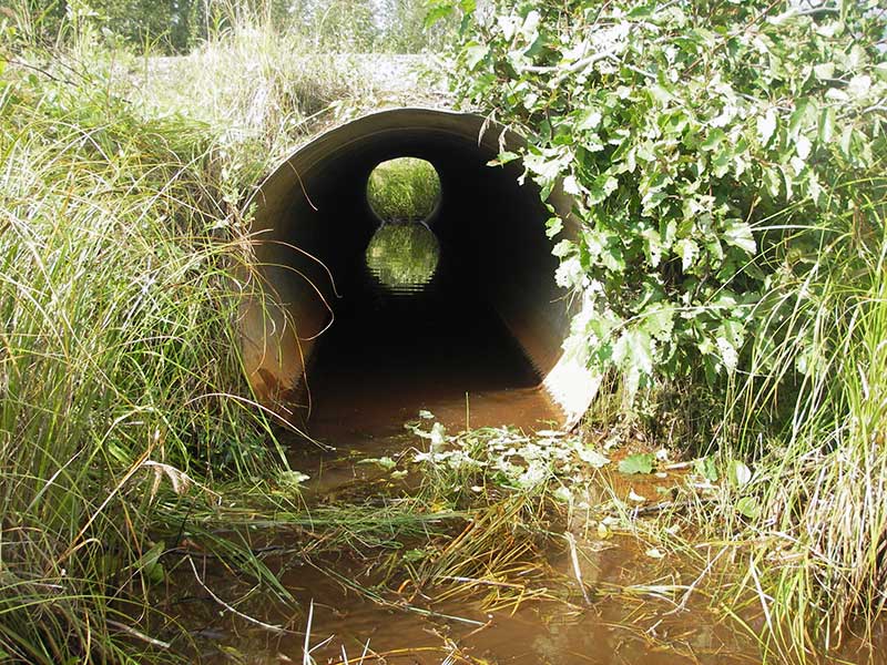
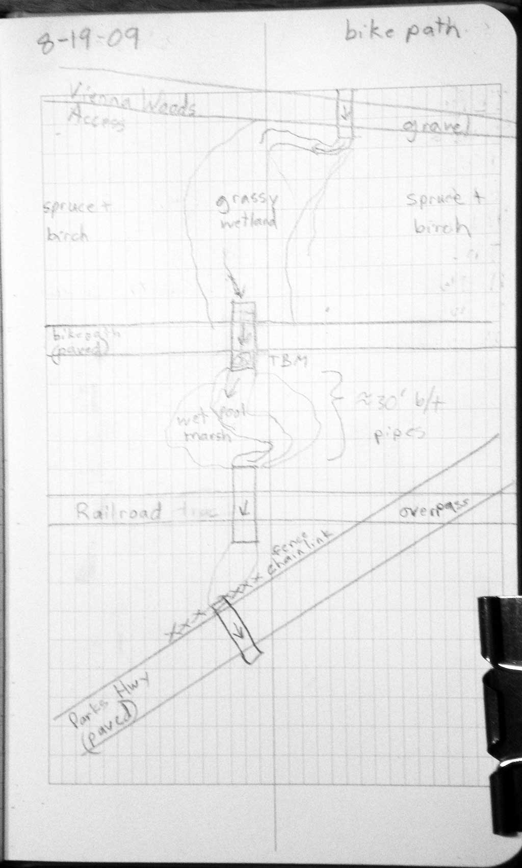
Road Name: Bike Path
Datum: WGS84
Quad Name / ITM: Anchorage C-7
AWC Stream #:
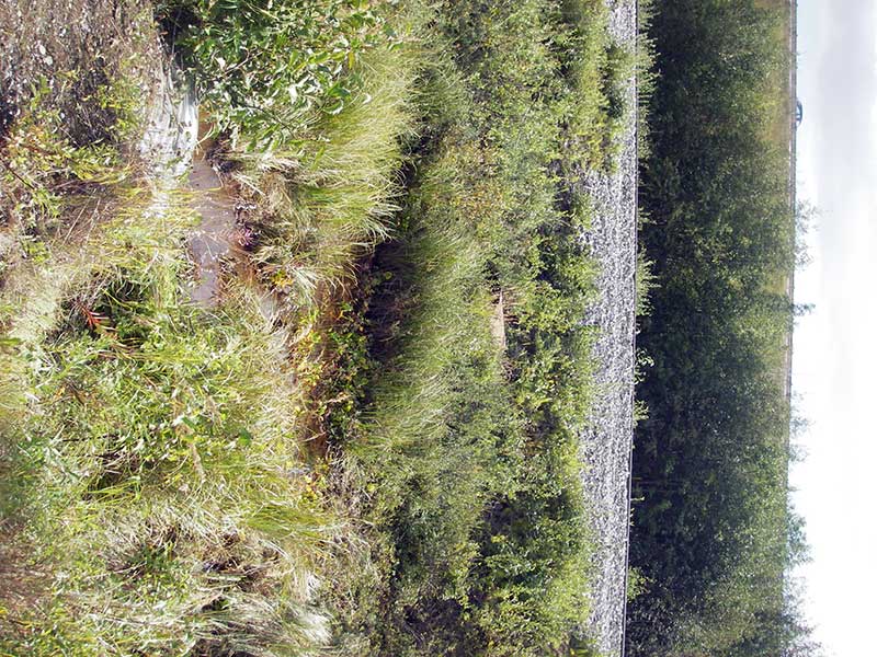
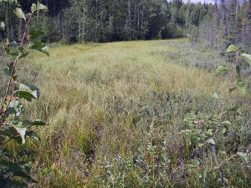
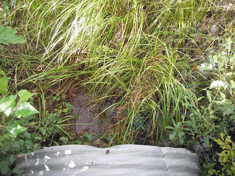
Stream Name: Wetlands drainage
Elevation:
Site Comments: None
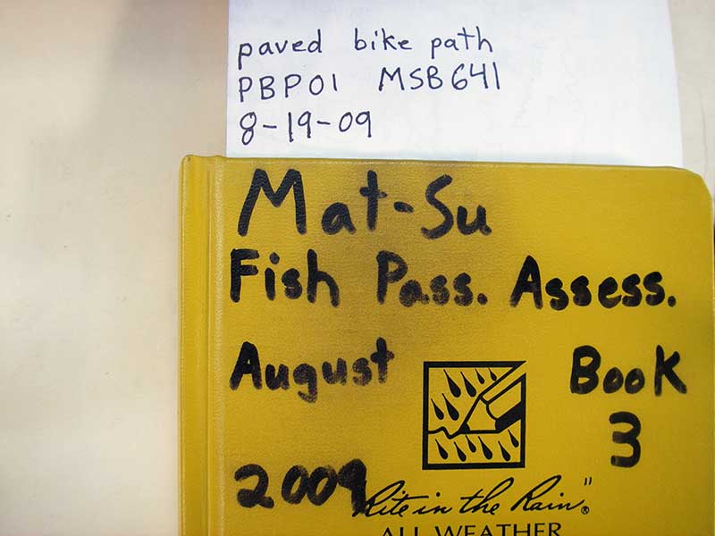
Survey MSB09-PBP01
Project Supervisor: Gillian O'Doherty, ADFG
Observers: Heidi Zimmer, Ben Histand
Overall Fish Passage Rating:
Tidal: No
Backwatered: Yes
Step Pools: No
Construction Year:
Site Observations:
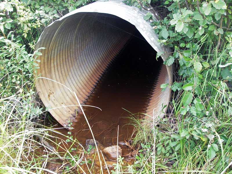
- Culvert gradient gray
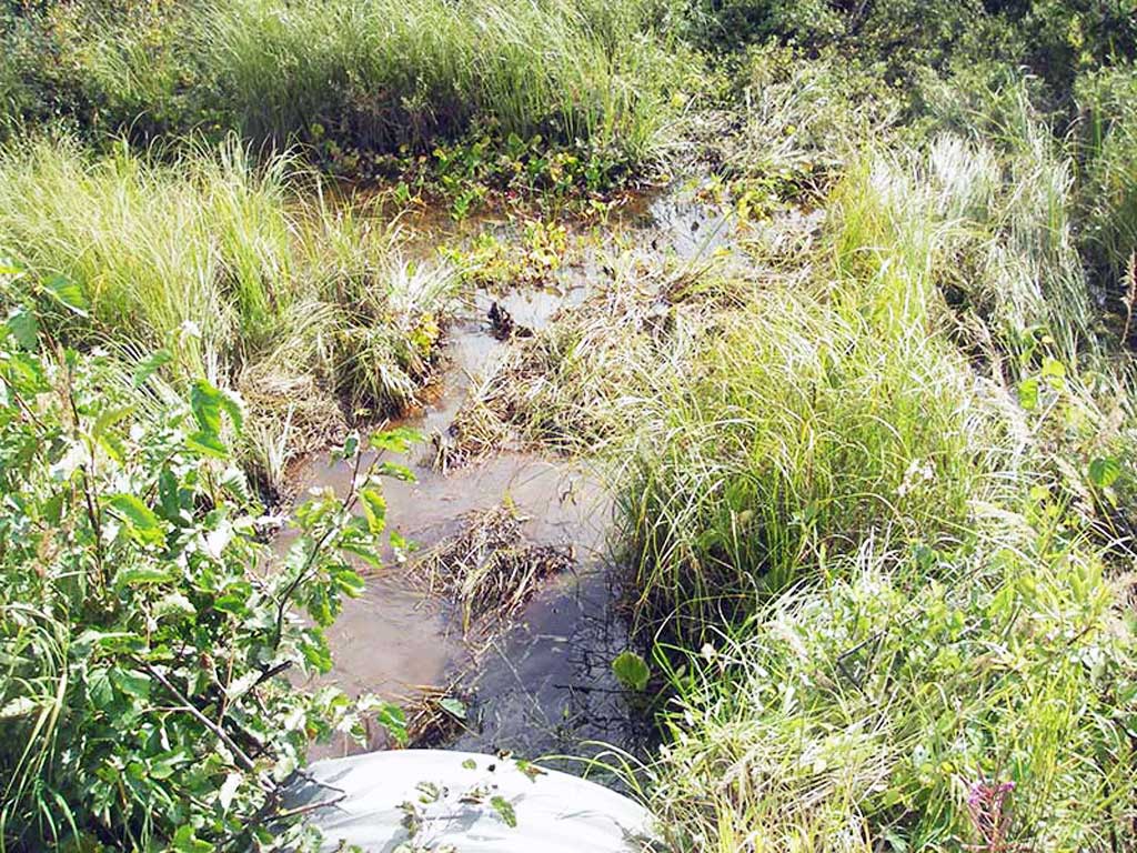
Comments: Almost backwatered; TWS slightly lower than HWS, close enough to call them equal low velocity, wetland channel, probably not a barrier.
Culvert Measurements
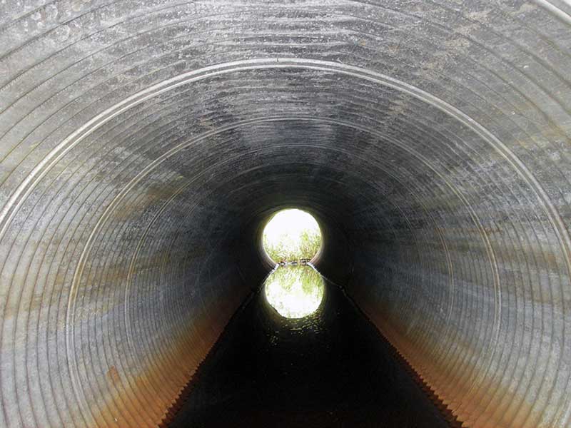
| ID: 1 | Structure Type: Circular pipe (Corrugated steel) | Fish Passage Rating: | |||||||||||||||||||||||||||||||||||||||||
|
|
|
|||||||||||||||||||||||||||||||||||||||||
Comments: Tailwater surface and headwater surface are only .01 difference which is close enough with margin of error to call site backwatered. |
|||||||||||||||||||||||||||||||||||||||||||
Culvert Observations:
|
|||||||||||||||||||||||||||||||||||||||||||
Stream Measurements
|
|
No stream width data available.
Elevations
| Locator ID | Culvert Number |
River Distance (ft)1 |
Distance From Crossing (ft)2 |
Relative Elevation (ft) |
|---|---|---|---|---|
| Outlet Pool Water Elev | 1 | 96.64 | ||
| U/S Headwater (pool/marsh immed u/s) | 1 | 96.65 | ||
| D/S Water Surface Elev (d/s WS) | 1 | 0.00 | 24.0 | 96.57 |
| D/S Water Surface Elev (@TWC) | 1 | 13.00 | 11.0 | 96.59 |
| D/S Tailcrest or 1st Thalweg (soft substrate) | 1 | 13.00 | 11.0 | 96.20 |
| Outlet Invert | 1 | 24.00 | 0.0 | 96.12 |
| Road Elev | 1 | 47.00 | 102.26 | |
| Inlet Culvert Invert | 1 | 70.50 | 0.0 | 96.42 |
Notes:
- River distance is measured continuously throughout the survey reach along the thalweg of the stream.
- Measured from each end of the crossing along the thalweg of the stream.
Fish Sampling Efforts
No fish sampling occurred during this survey.
Fish Observations
No fish observations occurred during this survey.
Photos
Questions or comments about this report can be directed to dfg.dsf.webmaster@alaska.gov