Fish Passage Site 20501203
Coordinates (dec. deg.): 61.48902°, -149.67320°
Legal Description: S016N002W08
Region: South Central
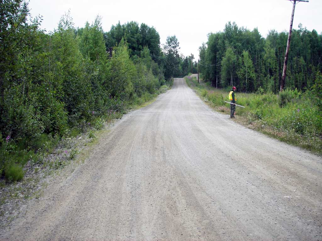
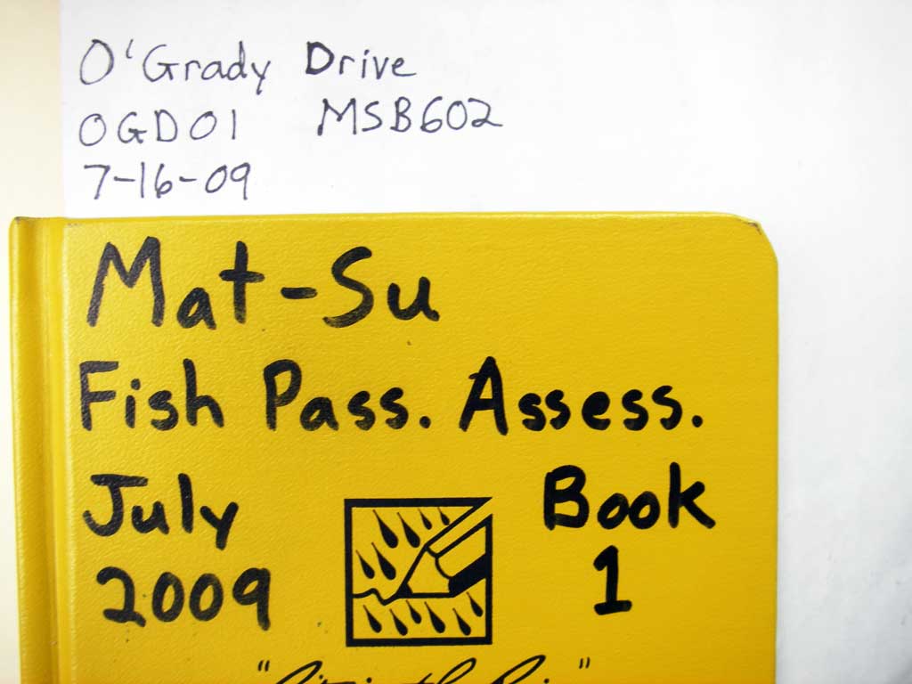
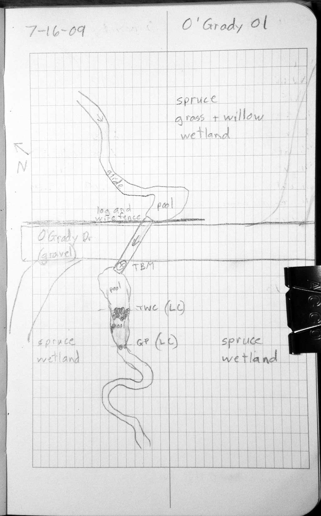
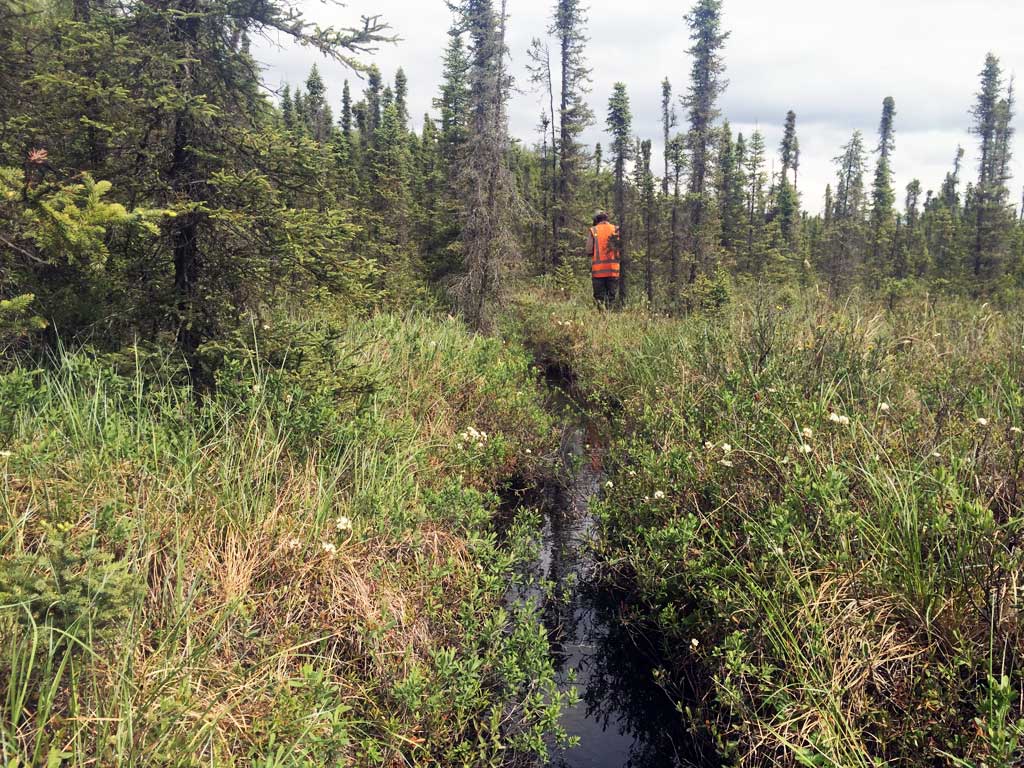
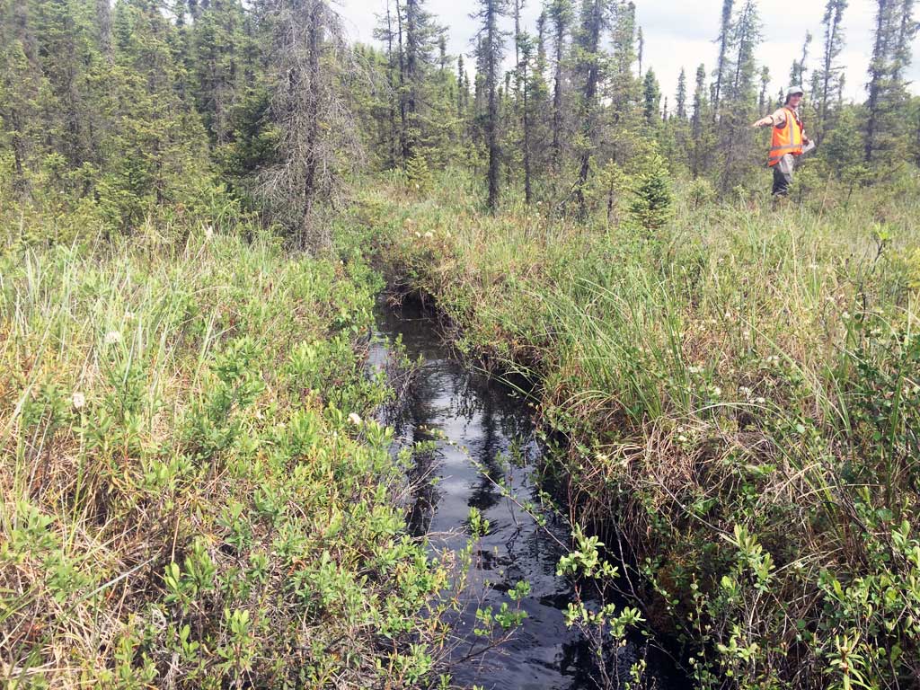
Road Name: O'Grady Drive
Datum: WGS84
Quad Name / ITM: Anchorage B-8
AWC Stream #:
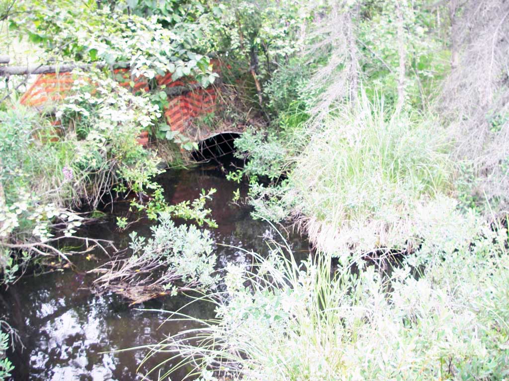
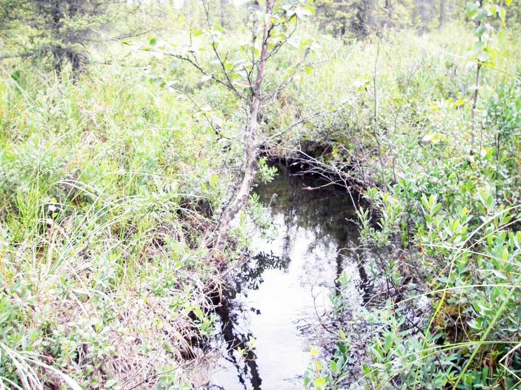
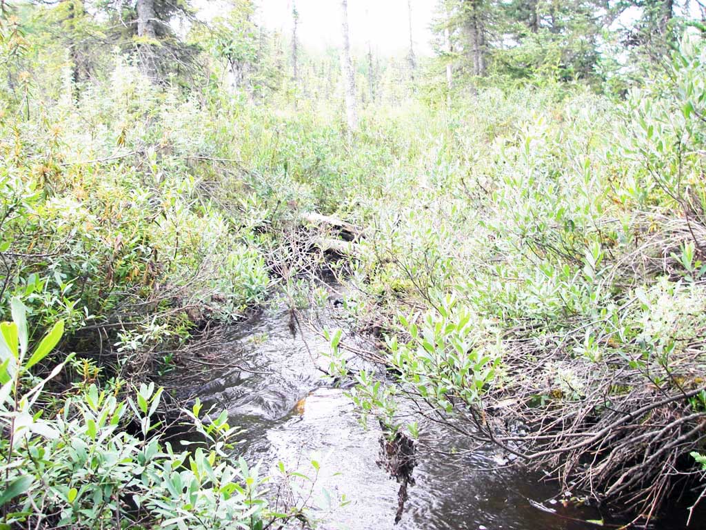
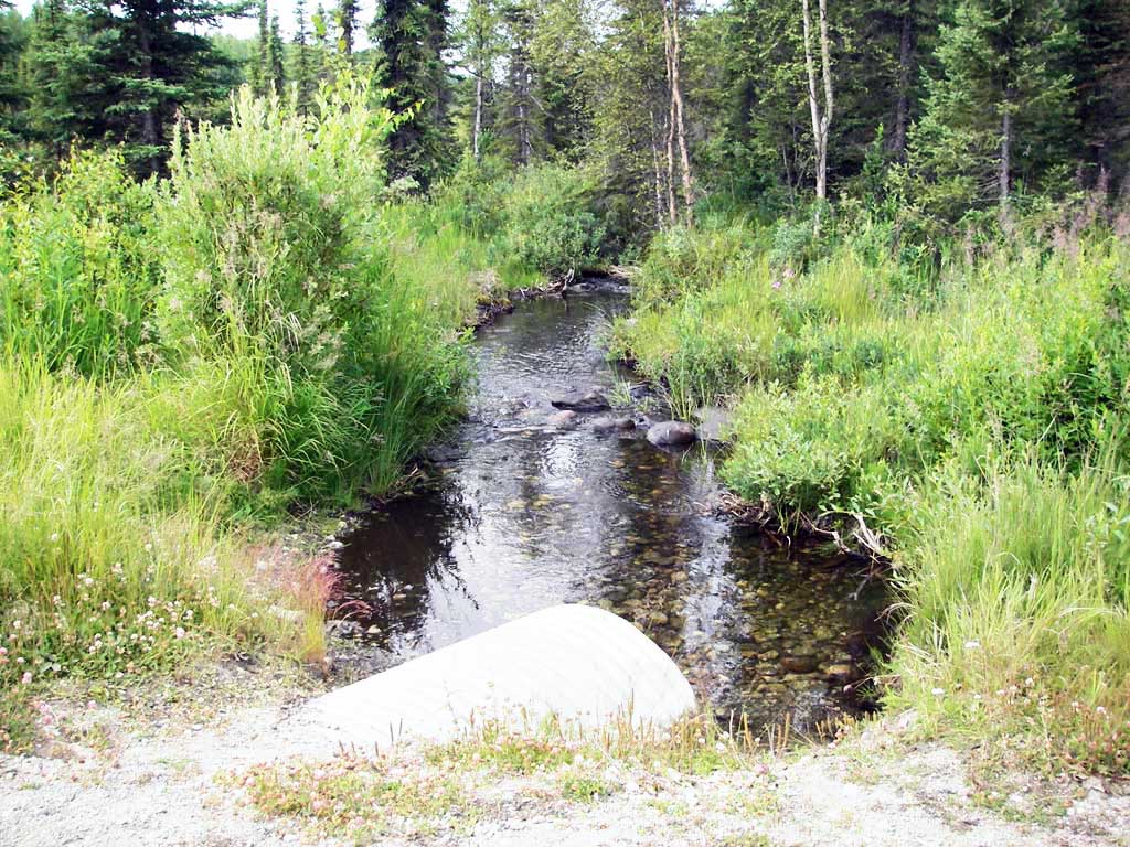
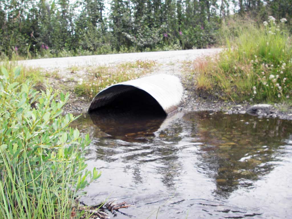
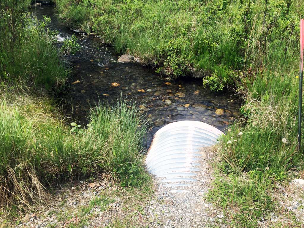
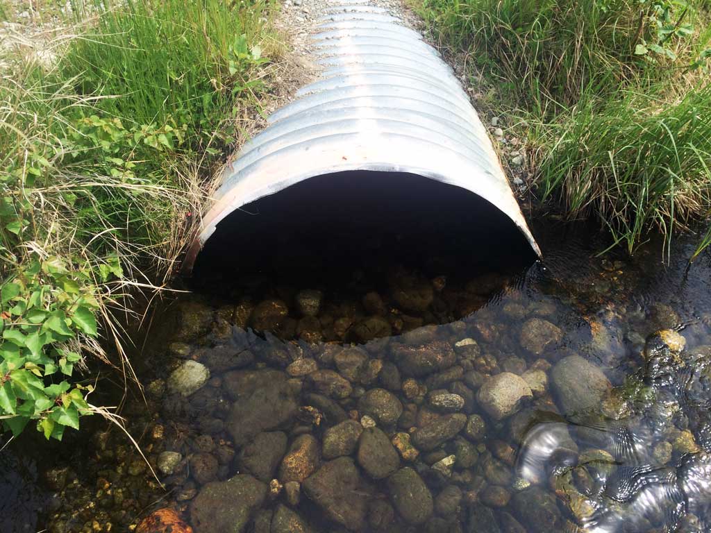
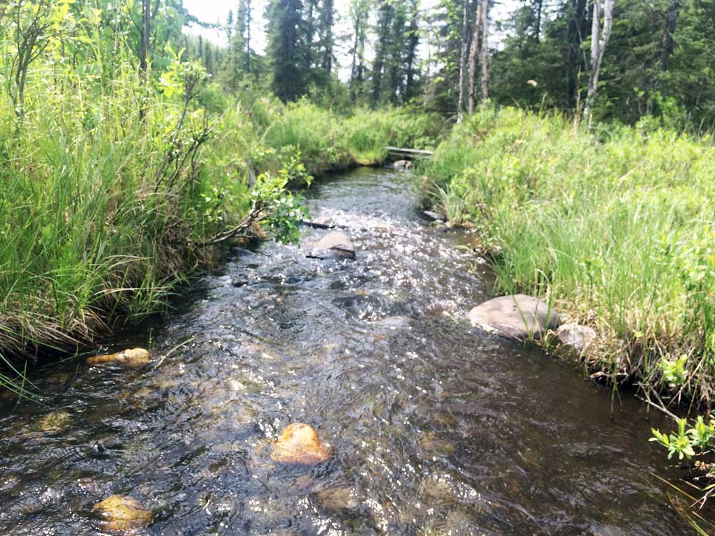
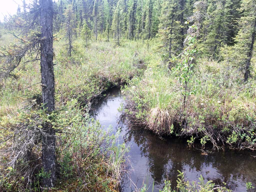
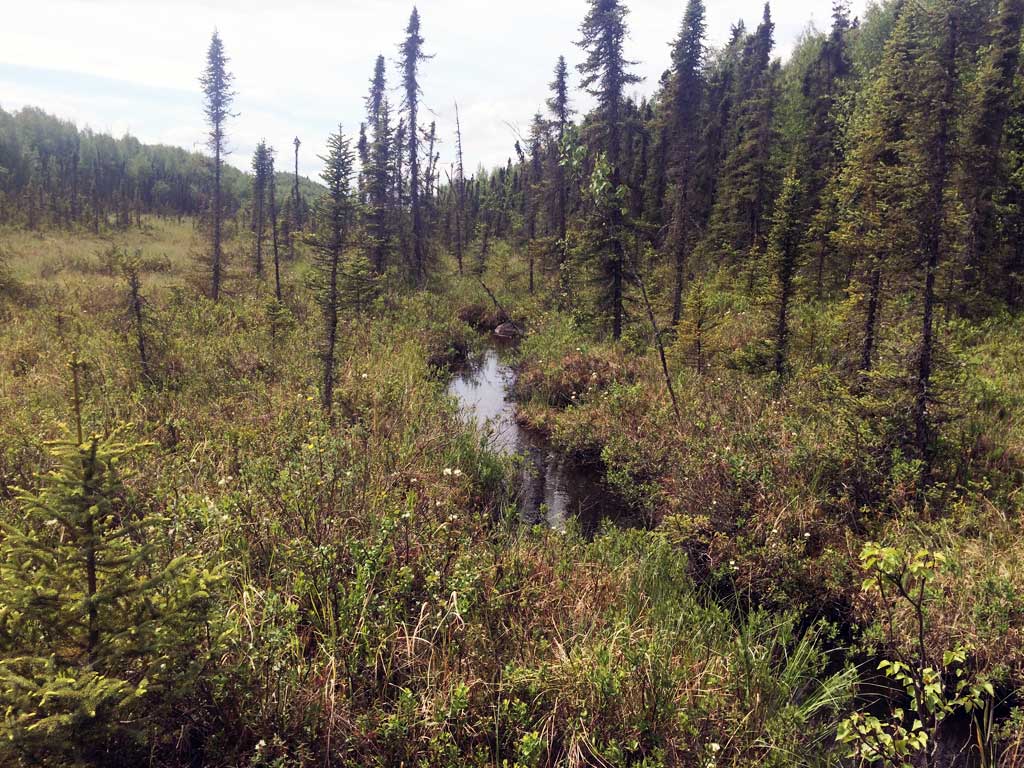
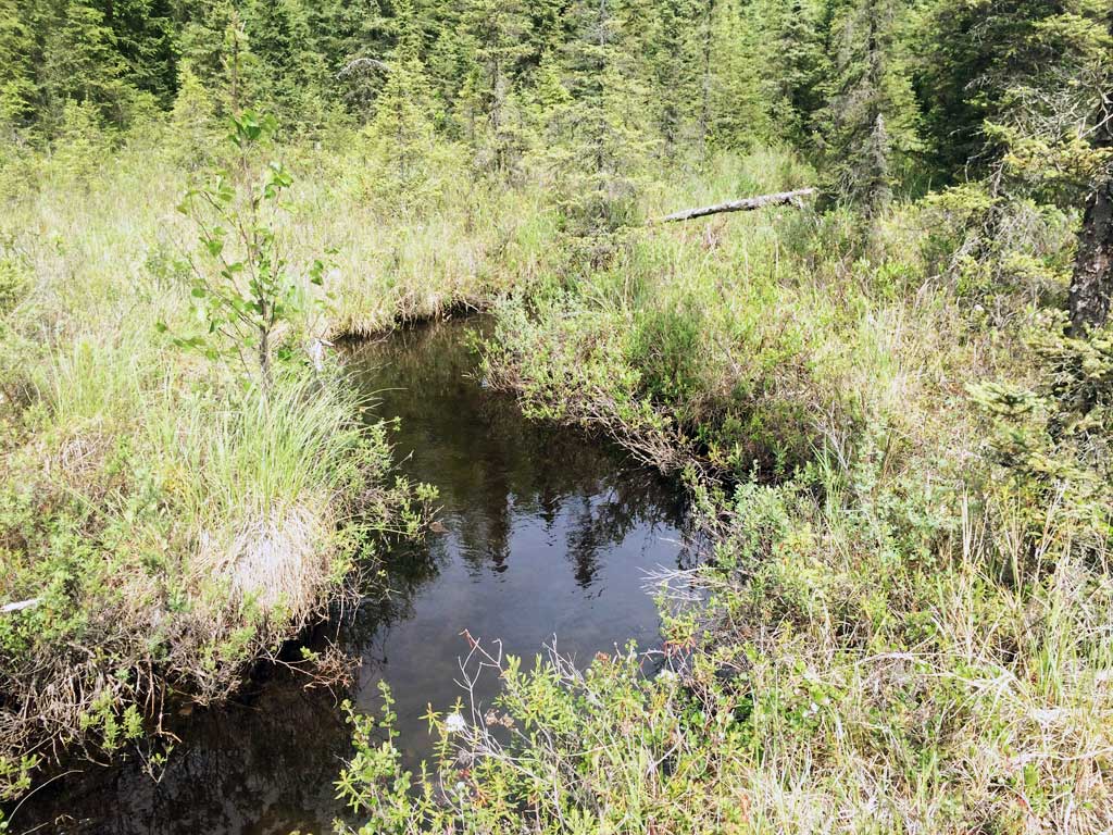
Stream Name: O'Brien Creek
Elevation:
Site Comments: None
arrow to the right of the survey date below to choose a different report for this site.
Survey MSB09-OGD01
Project Supervisor: Gillian O'Doherty, ADFG
Observers: Heidi Zimmer, Ben Histand
Overall Fish Passage Rating:
Tidal: No
Backwatered: Yes
Step Pools:
Construction Year:
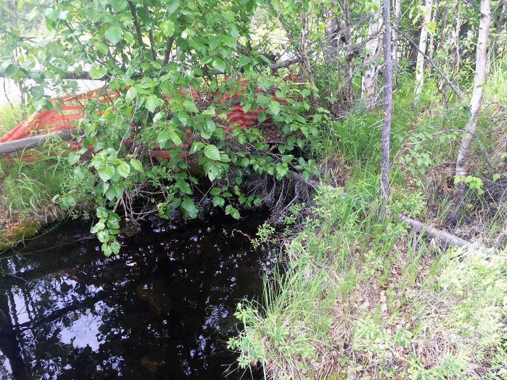
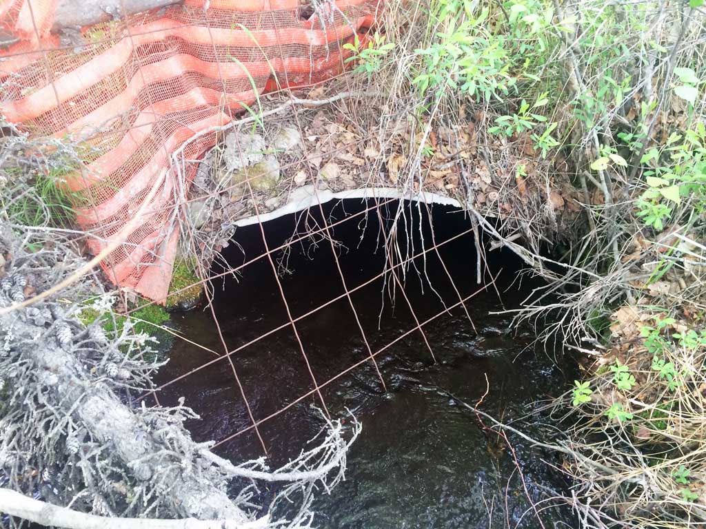
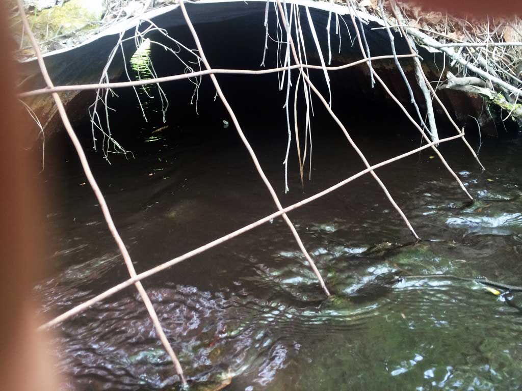
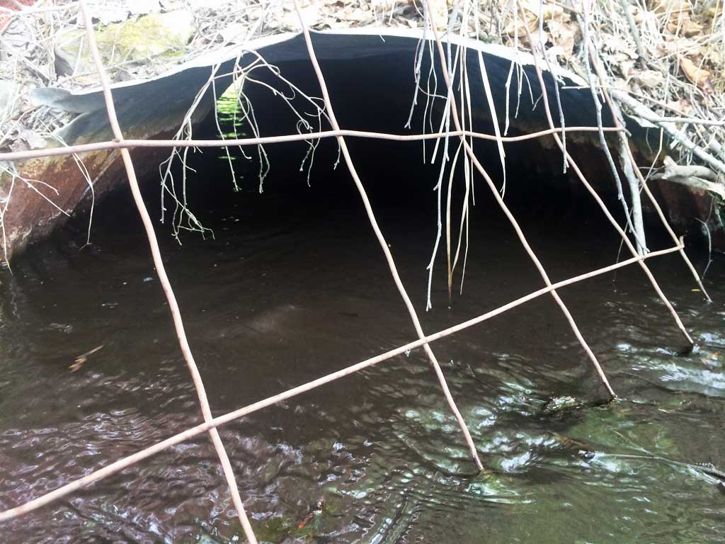
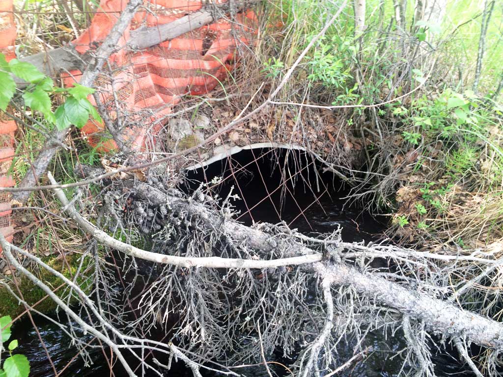
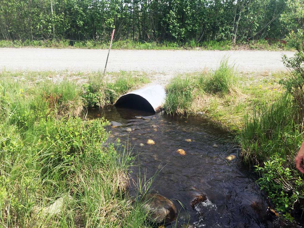
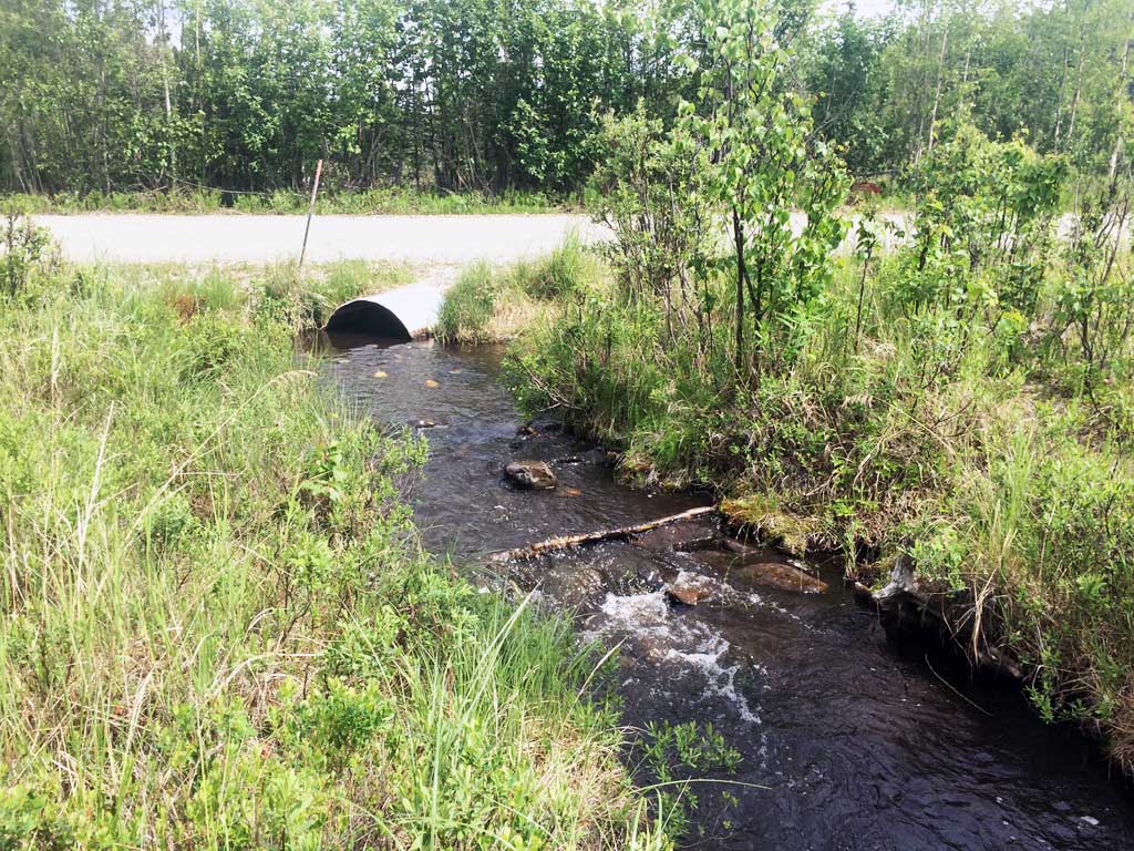
Site Observations:
- Shallow fill; inadequate roadfill volume above culvert
- Hydraulic flows exceeded capacity
Comments: None
Culvert Measurements
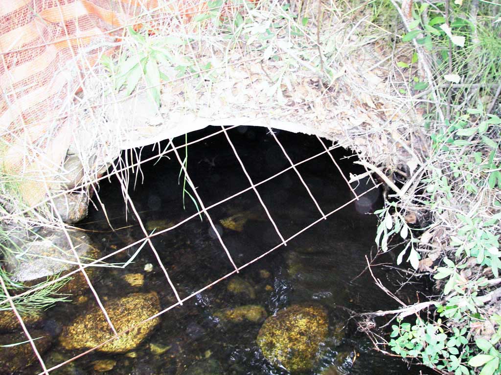
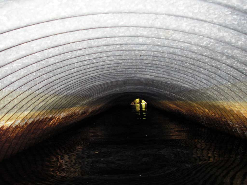
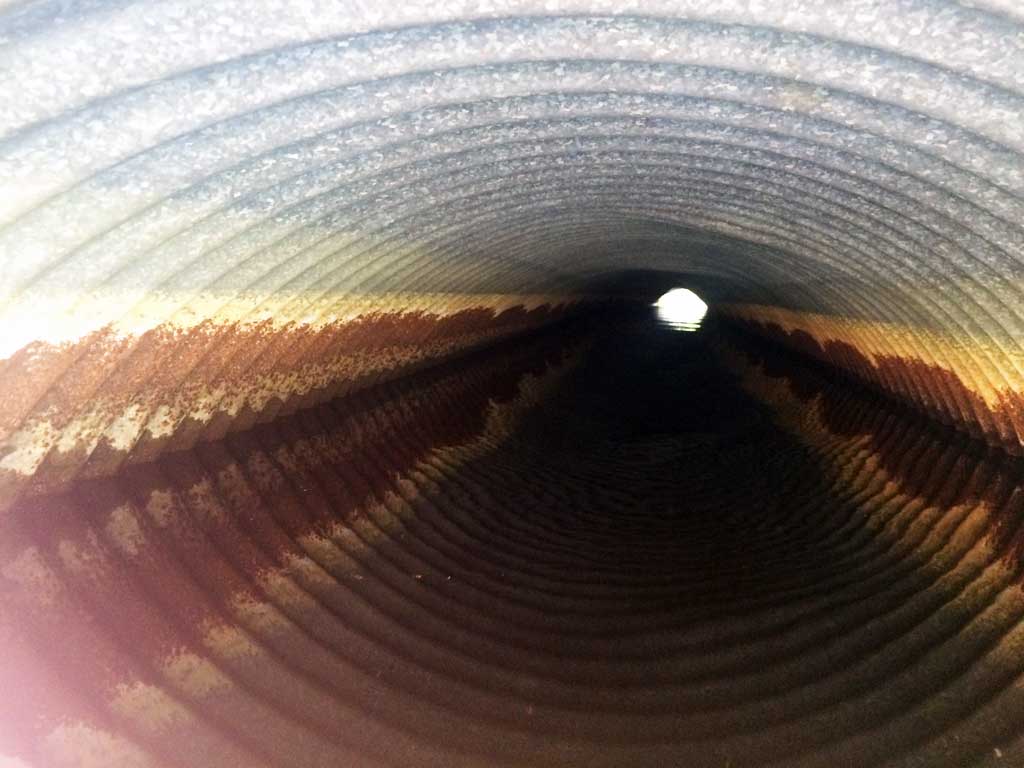
| ID: 1 | Structure Type: Circular pipe (Corrugated steel) | Fish Passage Rating: | ||||||||||||||||||||||||||||||||||||||||||
|
|
|
||||||||||||||||||||||||||||||||||||||||||
Culvert Observations:
|
||||||||||||||||||||||||||||||||||||||||||||
Stream Measurements
|
|
| Stream Width Type | Distance From Crossing (ft) |
Stream Width (ft) |
|---|---|---|
| Upstream ordinary high water | 40.0 | 4.50 |
| Upstream ordinary high water | 65.0 | 4.50 |
| Upstream ordinary high water | 107.0 | 4.00 |
Elevations
| Locator ID | Culvert Number |
River Distance (ft)1 |
Distance From Crossing (ft)2 |
Relative Elevation (ft) |
|---|---|---|---|---|
| U/S Headwater | 1 | 98.93 | ||
| Outlet Pool Water Elev | 1 | 98.93 | ||
| D/S Grade Ctrl (Thalweg) | 1 | 0.00 | 37.0 | 97.96 |
| D/S Water Surface Elev (WS @ GP) | 1 | 0.00 | 37.0 | 98.53 |
| D/S Tailcrest or 1st Thalweg | 1 | 24.00 | 13.0 | 98.55 |
| D/S Water Surface Elev (WS @ TWC) | 1 | 24.00 | 13.0 | 98.91 |
| D/S Thalweg | 1 | 34.50 | 2.5 | 98.45 |
| Outlet Invert | 1 | 37.00 | 0.0 | 98.17 |
| Road Elev | 1 | 61.00 | 100.85 | |
| Inlet Culvert Invert | 1 | 84.90 | 0.0 | 98.16 |
| U/S Grade Ctrl (Thalweg) (TC of 1st pool u/s) | 1 | 85.90 | 1.0 | 98.37 |
| D/S Water Surface Elev (WS @ GP) | 1 | 85.90 | 1.0 | 98.93 |
| U/S Water Surface Elev | 1 | 124.90 | 40.0 | 98.99 |
| U/S Grade Ctrl (Thalweg) (high pt in glide) | 1 | 124.90 | 40.0 | 97.95 |
| U/S Water Surface Elev (u/s WS) | 1 | 204.90 | 102.0 | 99.04 |
Notes:
- River distance is measured continuously throughout the survey reach along the thalweg of the stream.
- Measured from each end of the crossing along the thalweg of the stream.
Fish Sampling Efforts
No fish sampling occurred during this survey.
Fish Observations
No fish observations occurred during this survey.
Photos
Questions or comments about this report can be directed to dfg.dsf.webmaster@alaska.gov