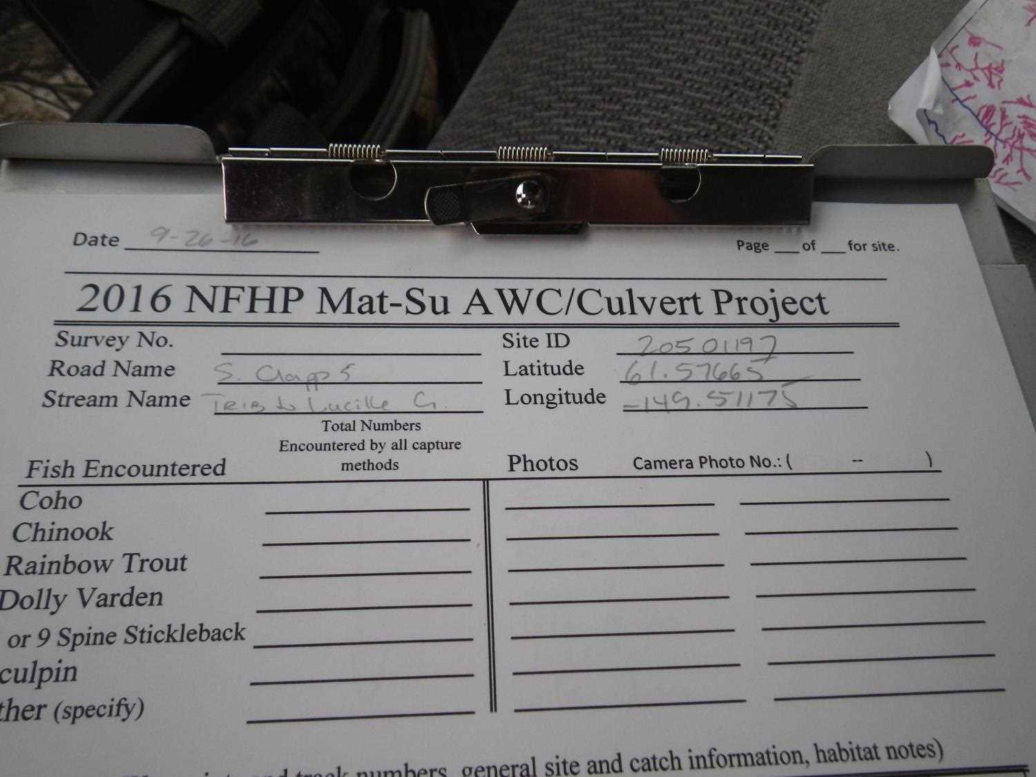
Fish Passage Site 20501197
Coordinates (dec. deg.): 61.57662°, -149.51175°
Legal Description: S017N001W07
Region: South Central
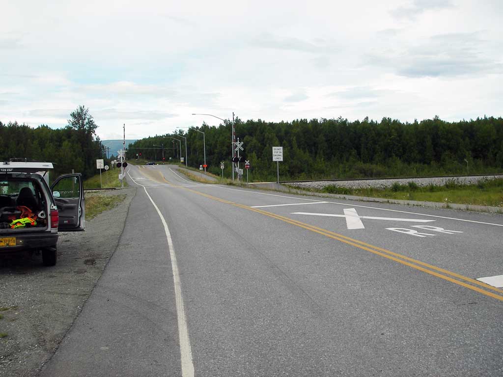
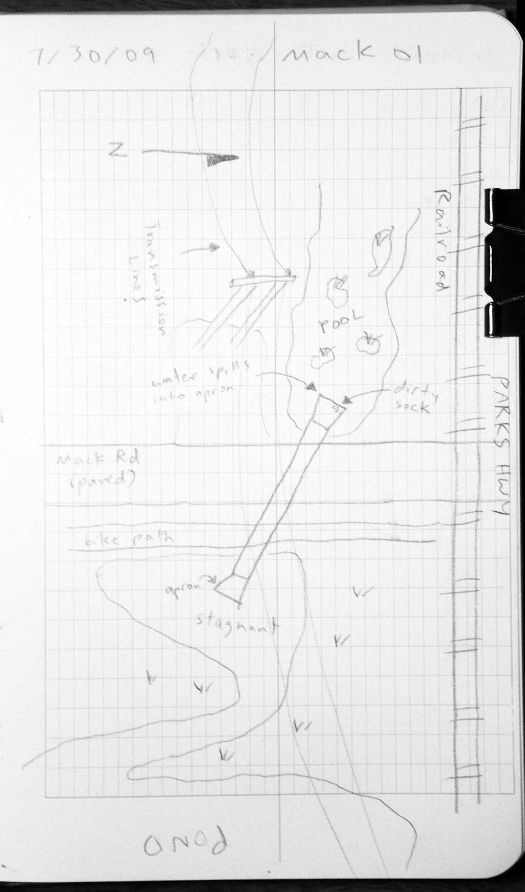
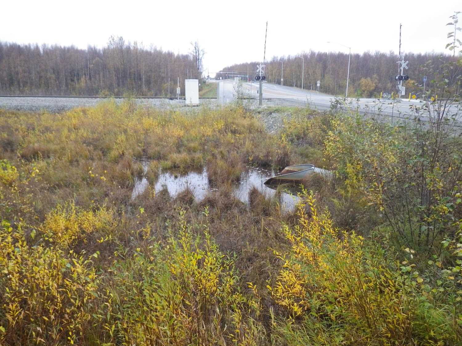
Road Name: Mack Road
Datum: WGS84
Quad Name / ITM: Anchorage C-7
AWC Stream #:
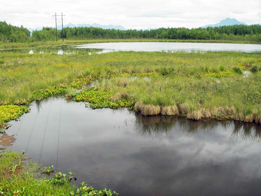
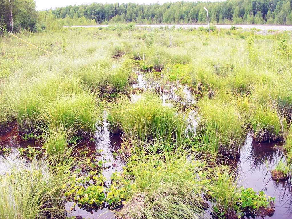
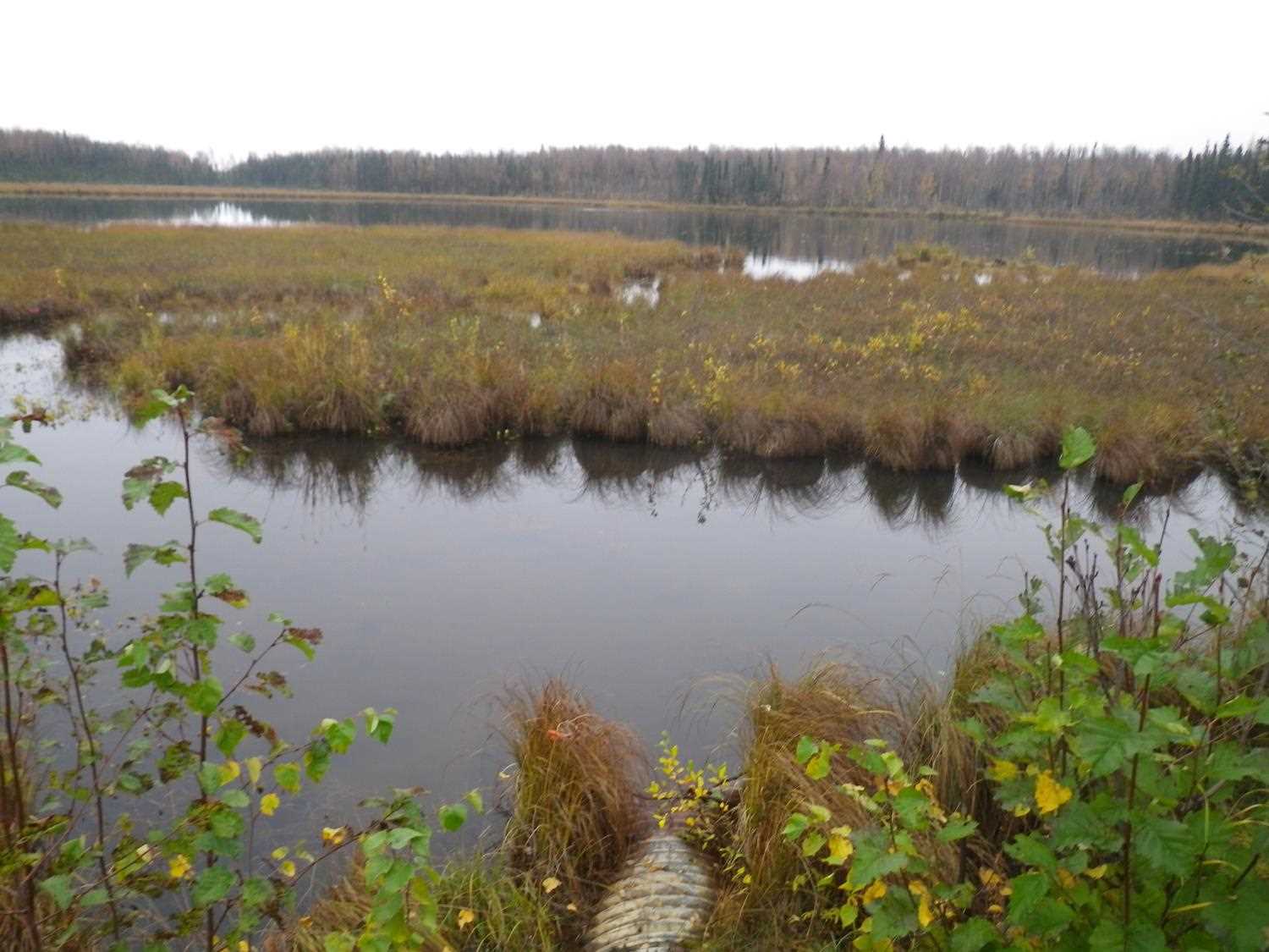
Stream Name: Wetland connector
Elevation:
Site Comments: Connects wetlands along RR
Survey MSB09-MAC01
Project Supervisor: Gillian O'Doherty, ADFG
Observers: Heidi Zimmer, Ben Histand
Overall Fish Passage Rating:
Tidal: No
Backwatered: No
Step Pools: No
Construction Year:
Site Observations:
- Culvert gradient red
- Hydraulic flows exceeded capacity
- Inlet apron too steep
- Other, including vibrations, cavitation, etc.
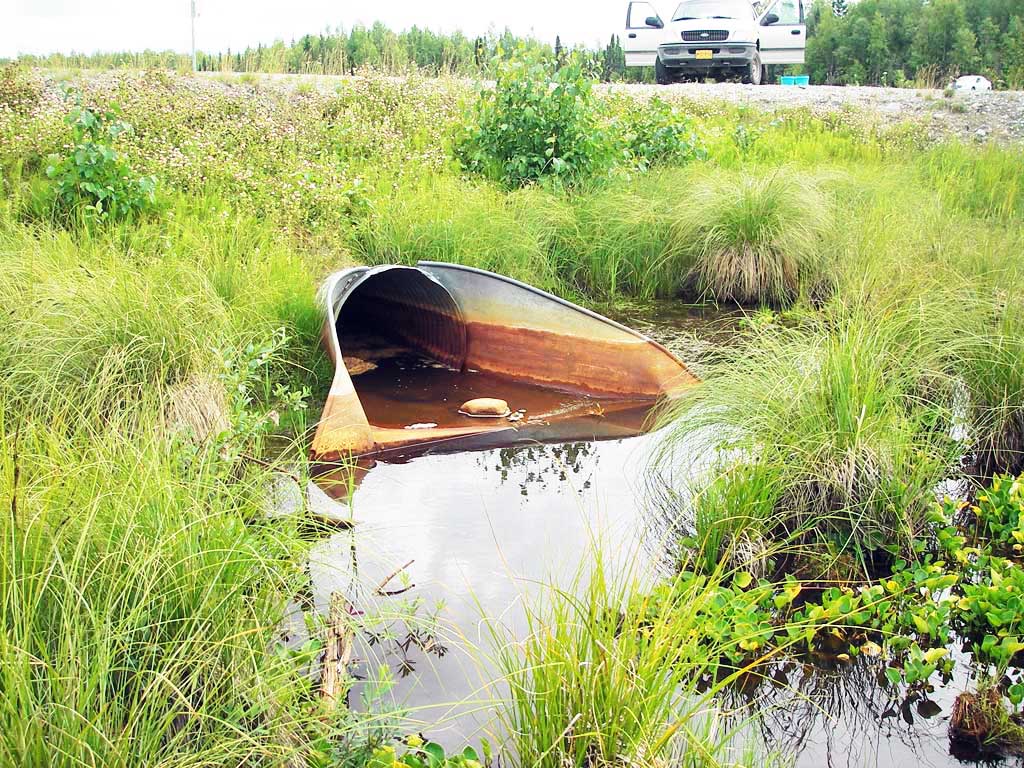
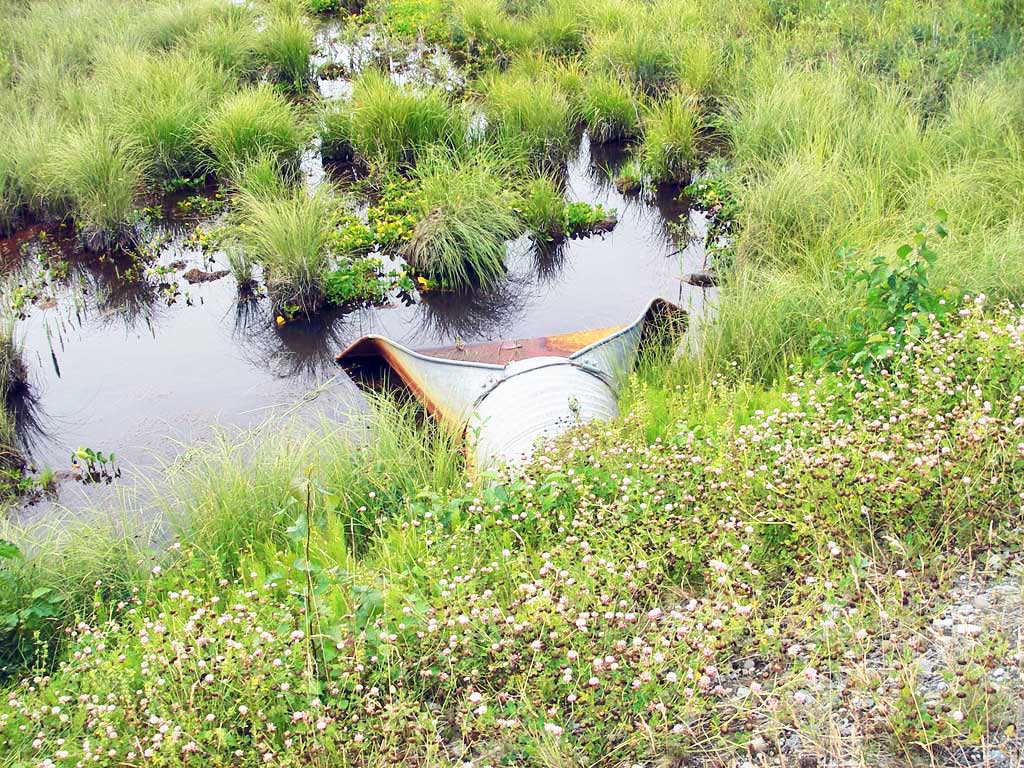
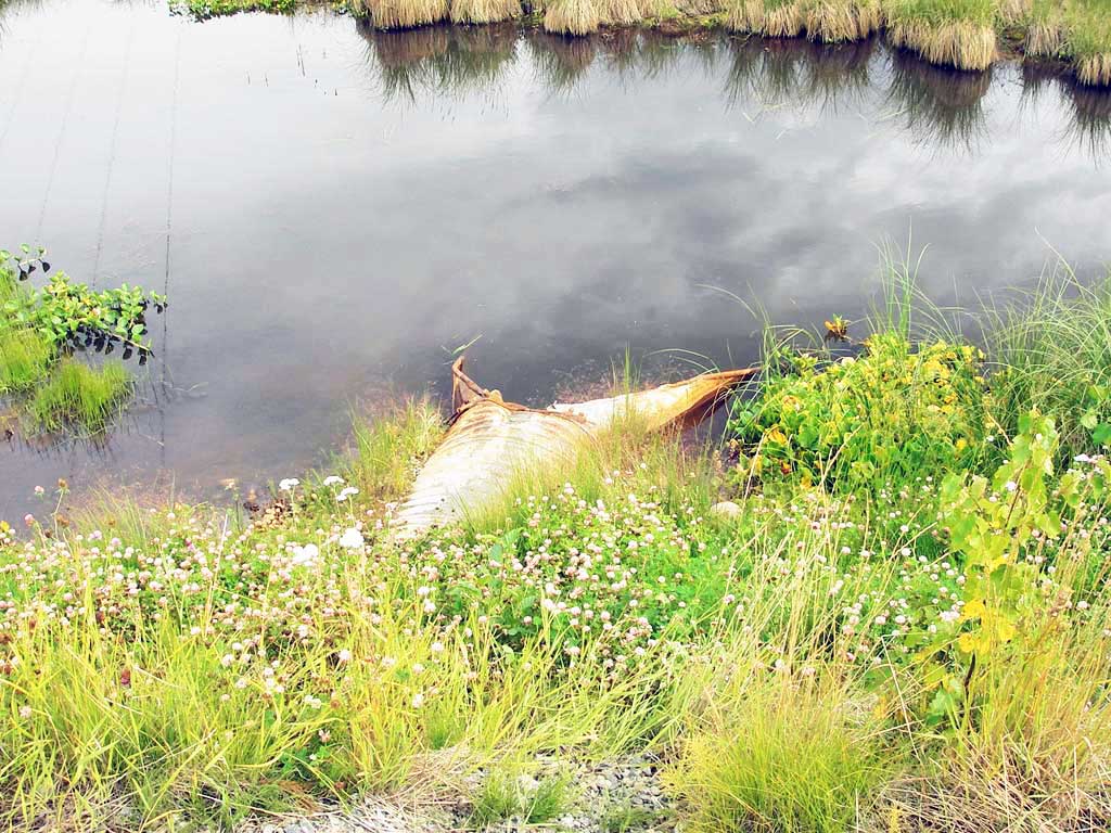
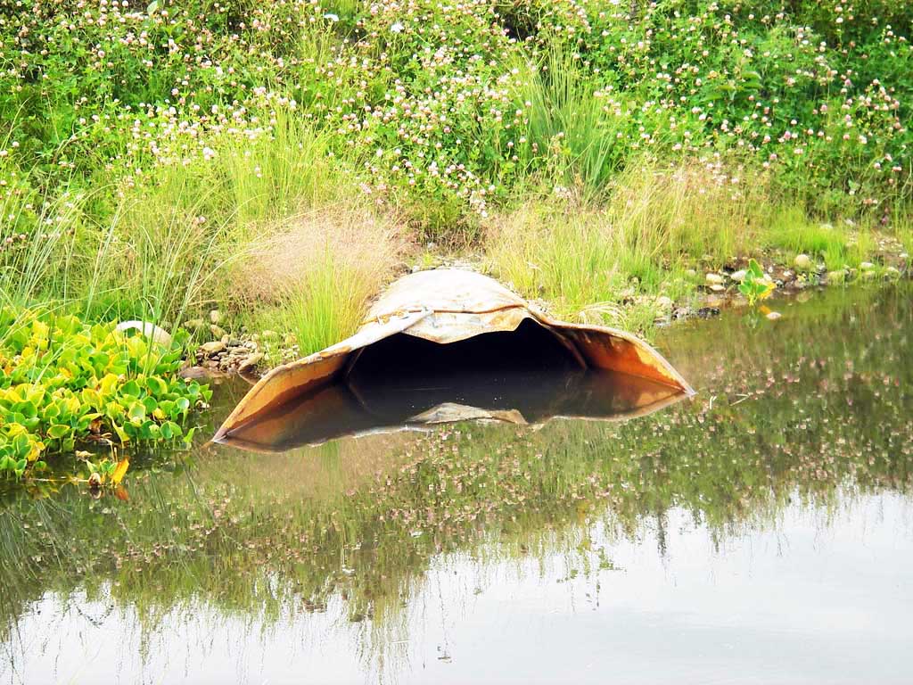
Comments: Pipe appears plugged; both aprons bent up; water flows down inlet apron and eddies in upper few feet of pipe. **Updated Site photos added from 9/26/16 site visit from Sampling Unmapped Streams in the MSB project. Fish data is in AFFI.
Culvert Measurements
| ID: 1 | Structure Type: Circular pipe (Corrugated steel) | Fish Passage Rating: | |||||||||||||||||||||||||||||||||||||||||
|
|
|
|||||||||||||||||||||||||||||||||||||||||
Culvert Observations:
|
|||||||||||||||||||||||||||||||||||||||||||
Stream Measurements
|
|
No stream width data available.
Elevations
| Locator ID | Culvert Number |
River Distance (ft)1 |
Distance From Crossing (ft)2 |
Relative Elevation (ft) |
|---|---|---|---|---|
| D/S Thalweg (end of outlet apron) | 1 | 0.00 | 4.8 | 96.15 |
| Outlet Pool Water Elev (d/s is flat pond) | 1 | 4.80 | 97.92 | |
| Outlet Invert ((east end)) | 1 | 4.80 | 0.0 | 95.79 |
| Road Elev | 1 | 62.90 | 105.59 | |
| Inlet Culvert Invert ((west end)) | 1 | 120.80 | 0.0 | 97.30 |
| U/S Headwater | 1 | 120.80 | 97.91 | |
| U/S Grade Ctrl (Thalweg) (end of inlet apron) | 1 | 125.70 | 4.9 | 98.02 |
| U/S Water Surface Elev (@GP) | 1 | 125.80 | 4.9 | 98.18 |
| U/S Thalweg | 1 | 125.80 | 5.0 | 97.18 |
Notes:
- River distance is measured continuously throughout the survey reach along the thalweg of the stream.
- Measured from each end of the crossing along the thalweg of the stream.
Fish Sampling Efforts
| Gear Type: Minnow Trap (A) | Trap Duration(h): 0.75 | |
| Comments: 15ft u/s | ||
| Gear Type: Minnow Trap (B) | Trap Duration(h): 0.75 | |
| Comments: 20ft d/s | ||
Fish Observations
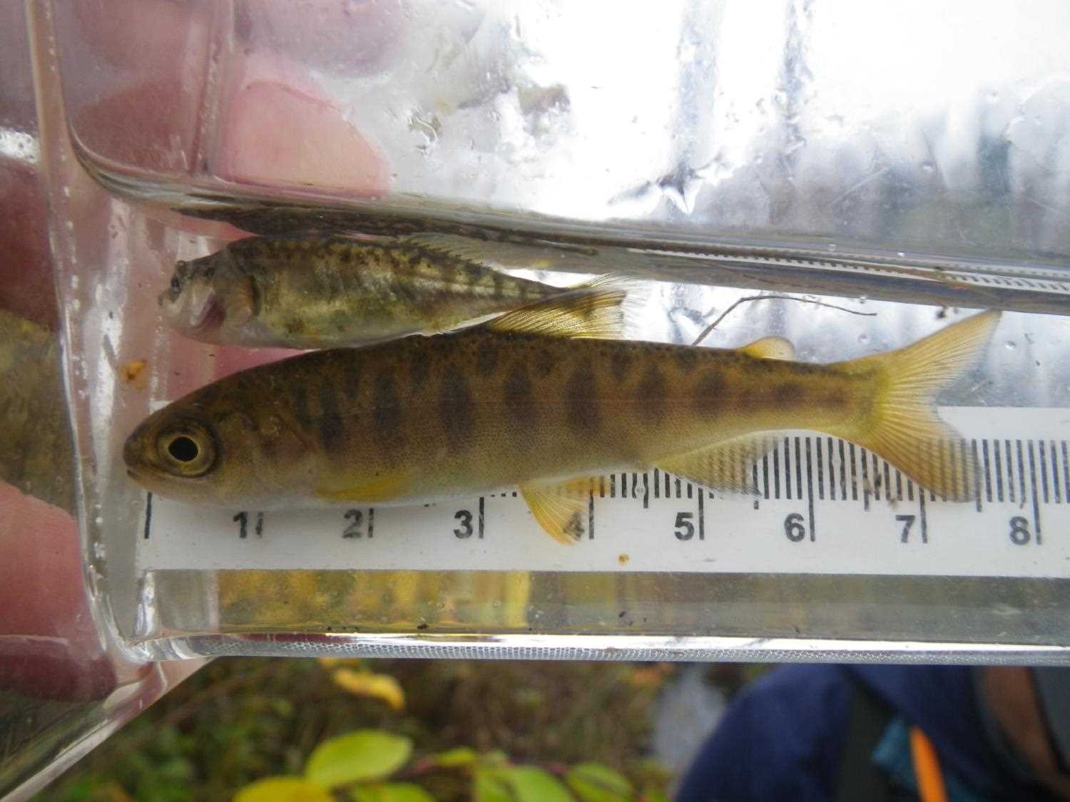
| Species: stickleback-unspecified | Life History: Resident | ||
| Total Fish Observed: 51 | Fish Measured: | Fork Lengths (mm) Min: Max: Mean: | |
| Collected/Observed by Gear Type: Downstream Minnow Trap (10) Upstream Minnow Trap (41) | |||
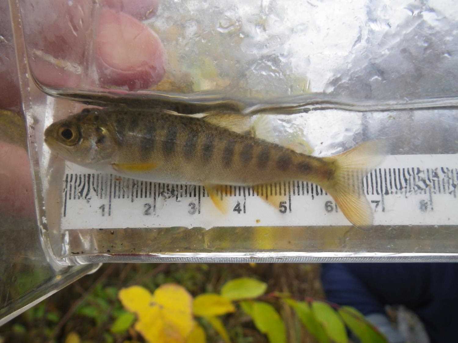
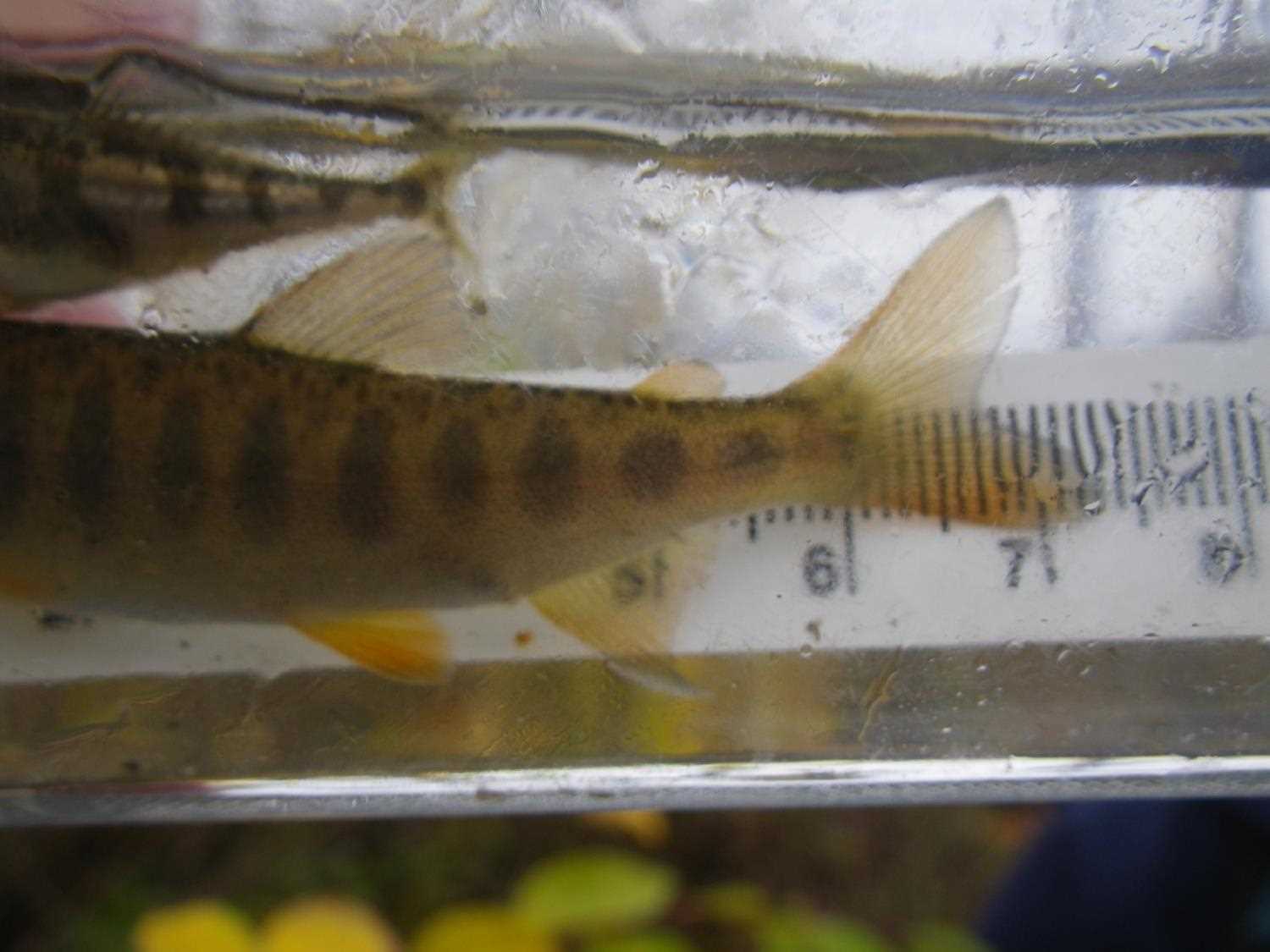
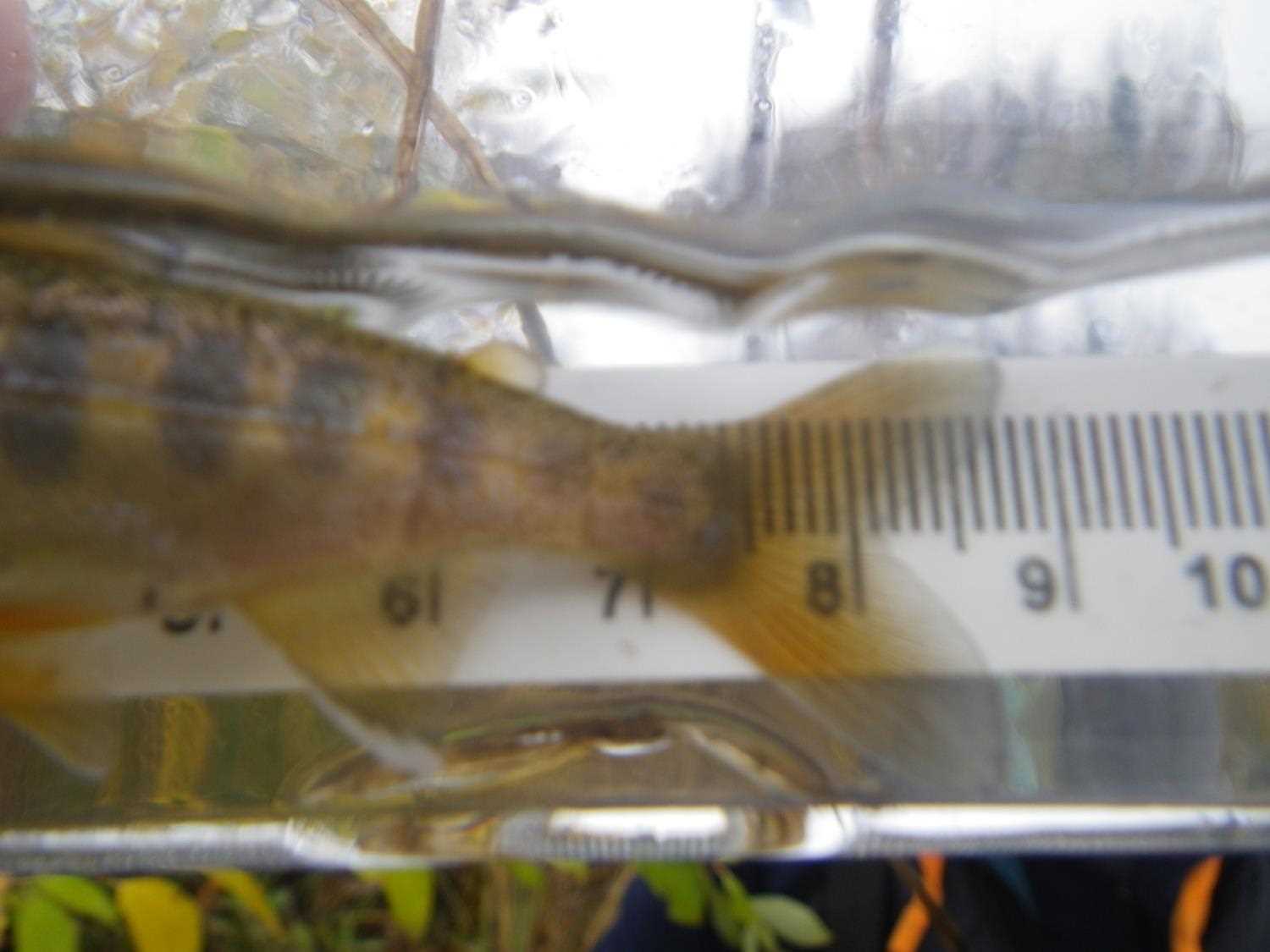
| Species: juvenile coho salmon | Life History: Anadromous | ||
| Total Fish Observed: 1 | Fish Measured: 1 | Fork Lengths (mm) Min: 95 Max: 95 Mean: 95 | |
| Collected/Observed by Gear Type: Upstream Minnow Trap (1) | |||
Photos
Questions or comments about this report can be directed to dfg.dsf.webmaster@alaska.gov