Fish Passage Site 20501192
Coordinates (dec. deg.): 61.47303°, -149.95930°
Legal Description: S016N004W15
Region: South Central
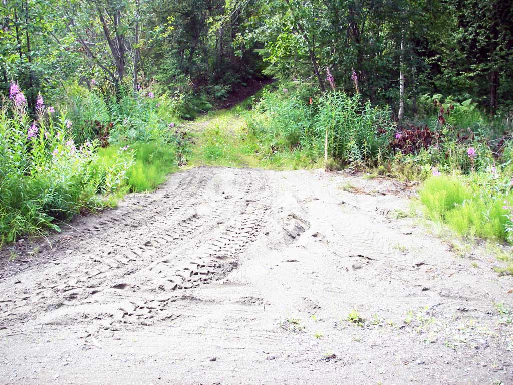
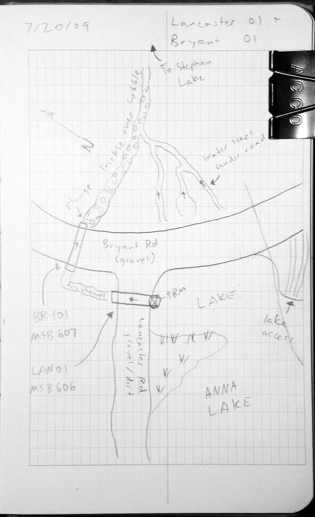
Road Name: Bryant Road
Datum: NAD83
Quad Name / ITM: Anchorage B-8
AWC Stream #:
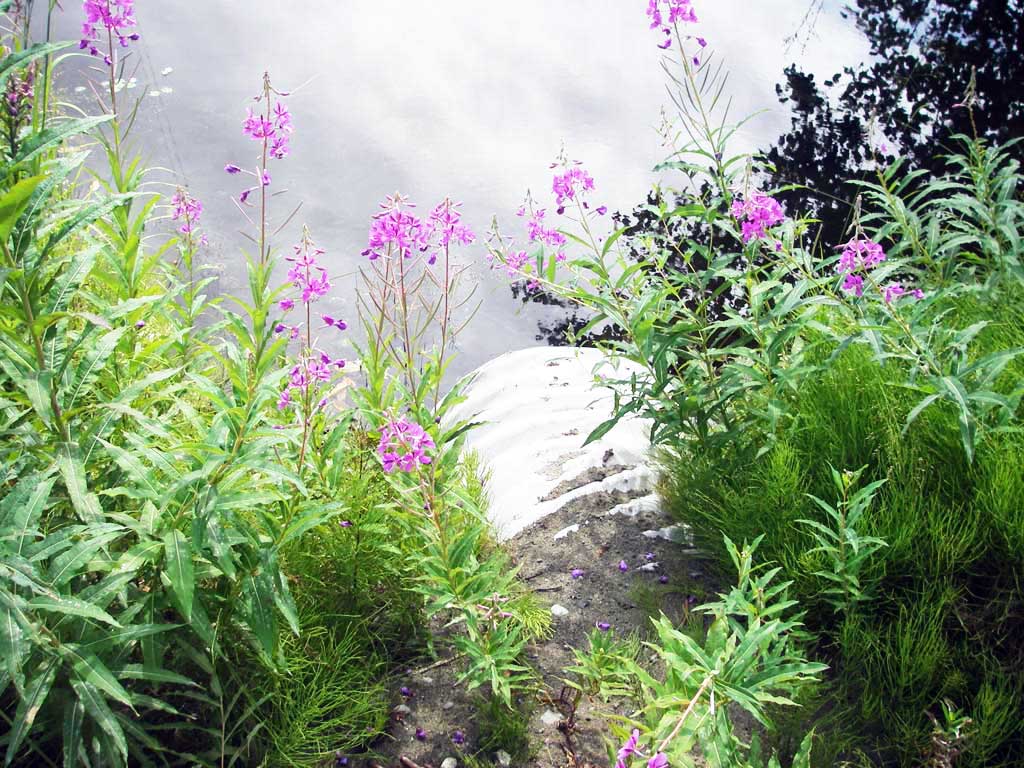
Stream Name: Connects two Lakes
Elevation:
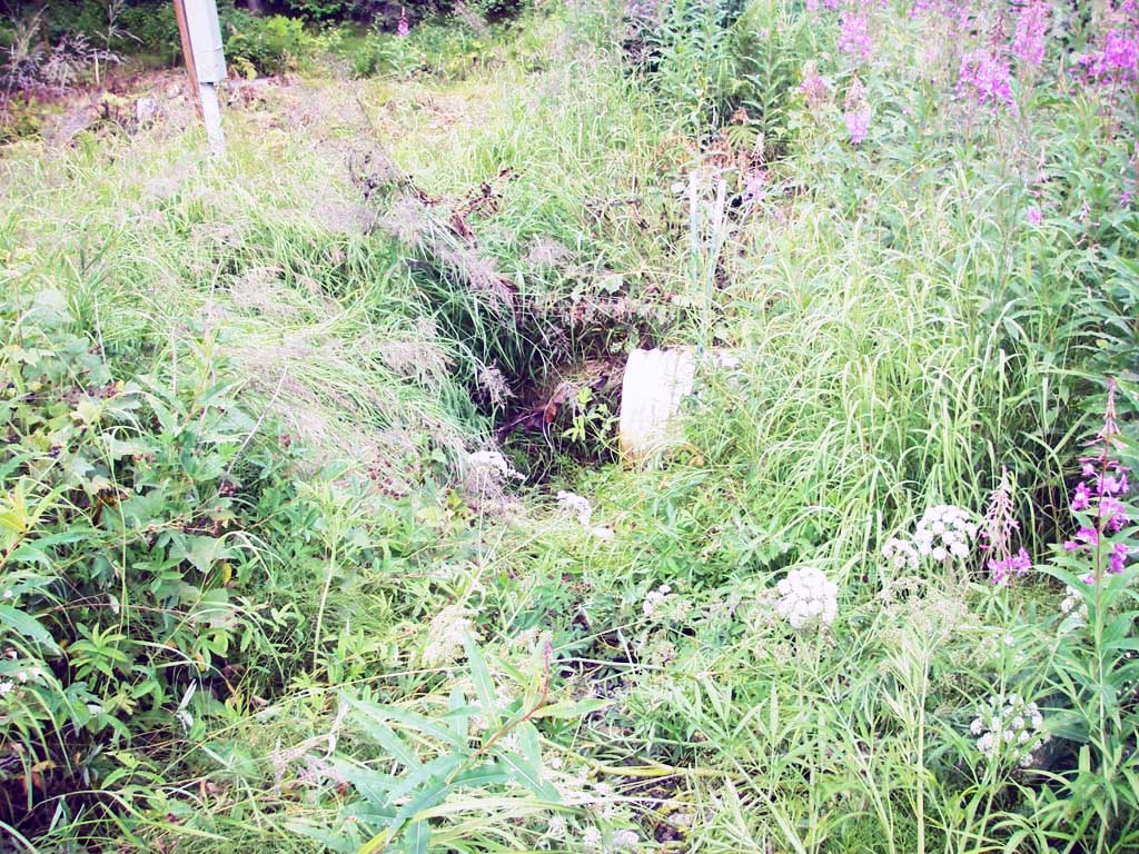
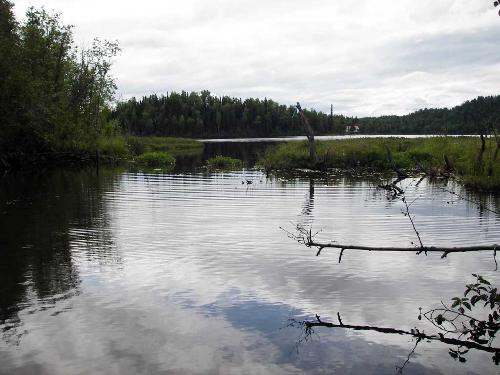
Site Comments: Site next to MSCS1RS016 also on Bryant Road. Old survey information stated this culvert was on Lancaster Road which according to a nearby resident does not exist (2011). The road has always been labeled as Bryant. The culvert connects Stephan Lake which is upstream and an unknown lake approximately 300' dwst.
arrow to the right of the survey date below to choose a different report for this site.
Survey MSB09-LAN01
Project Supervisor: Gillian O'Doherty, ADFG
Observers: Heidi Zimmer, Ben Histand
Overall Fish Passage Rating:
Tidal: No
Backwatered: No
Step Pools:
Construction Year:
Site Observations:
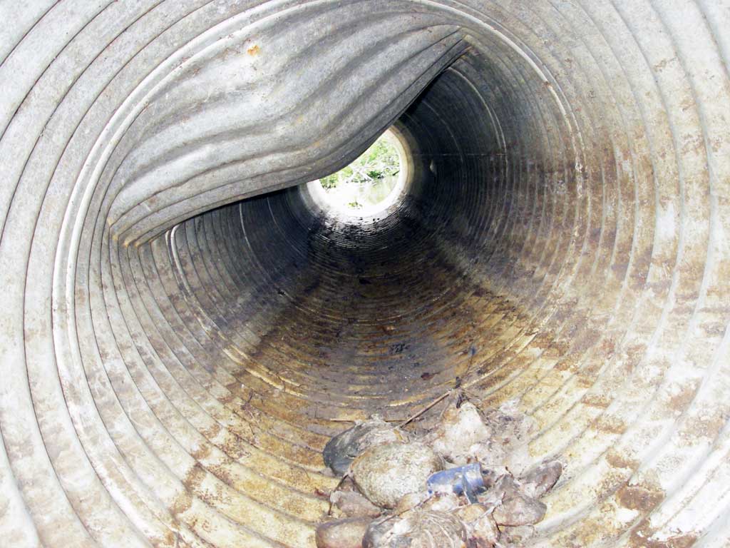
- Outfall height red
- Culvert gradient red
- Mechanical damage or joints parting
- Shallow fill; inadequate roadfill volume above culvert
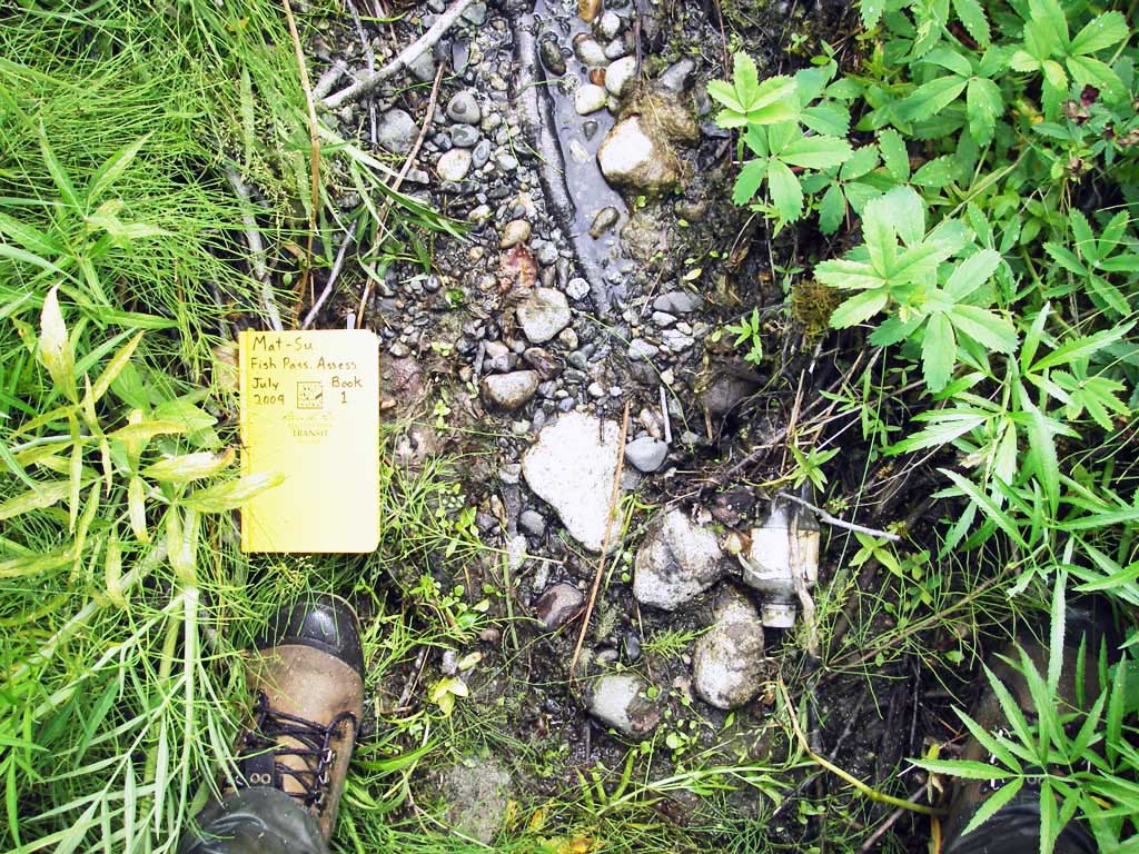
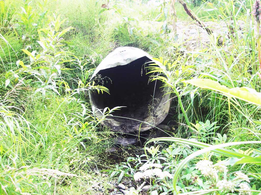
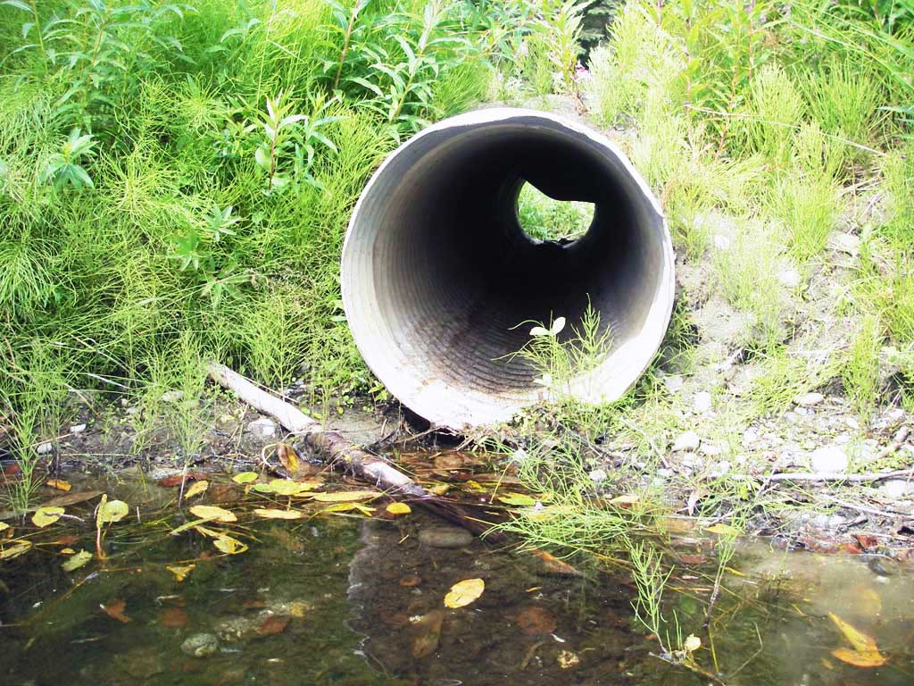
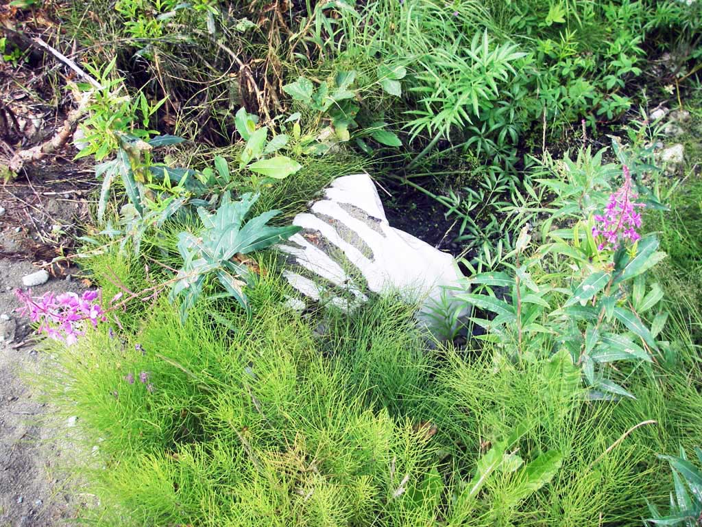
Comments: Site next to BRY01; large dent in top near outlet; lots of seepage under Bryant road from lake; pipe stained, no rust.
Culvert Measurements
| ID: 1 | Structure Type: Circular pipe (Corrugated steel) | Fish Passage Rating: | |||||||||||||||||||||||||||||||||||||||||
|
|
|
|||||||||||||||||||||||||||||||||||||||||
Comments: Large dent in top near outlet. |
|||||||||||||||||||||||||||||||||||||||||||
Culvert Observations:
|
|||||||||||||||||||||||||||||||||||||||||||
Stream Measurements
|
|
No stream width data available.
Elevations
| Locator ID | Culvert Number |
River Distance (ft)1 |
Distance From Crossing (ft)2 |
Relative Elevation (ft) |
|---|---|---|---|---|
| D/S Tailcrest or 1st Thalweg (chan is dry @ TWC) | 1 | 0.00 | 2.0 | 97.27 |
| Outlet Invert | 1 | 2.00 | 0.0 | 97.61 |
| D/S Thalweg | 1 | 2.00 | 0.0 | 97.13 |
| Outlet Pool Water Elev | 1 | 2.00 | 97.24 | |
| Road Elev | 1 | 11.50 | 100.17 | |
| U/S Thalweg (stream bed at u/s end of pipe) | 1 | 20.90 | 0.0 | 97.88 |
| U/S Headwater (lake) | 1 | 20.90 | 97.96 | |
| Inlet Culvert Invert | 1 | 20.90 | 0.0 | 98.04 |
Notes:
- River distance is measured continuously throughout the survey reach along the thalweg of the stream.
- Measured from each end of the crossing along the thalweg of the stream.
Fish Sampling Efforts
| Gear Type: Minnow Trap (A) | Trap Duration(h): 1.0 | |
| Comments: no fish caught; 50ft u/s | ||
Fish Observations
No fish observations occurred during this survey.
Photos
Questions or comments about this report can be directed to dfg.dsf.webmaster@alaska.gov