Fish Passage Site 20501190
Coordinates (dec. deg.): 61.77271°, -149.98705°
Legal Description: S019N004W03
Region: South Central
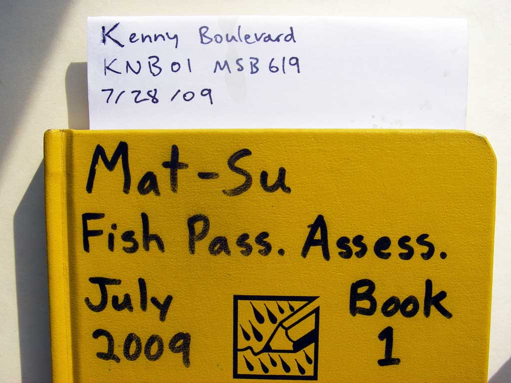
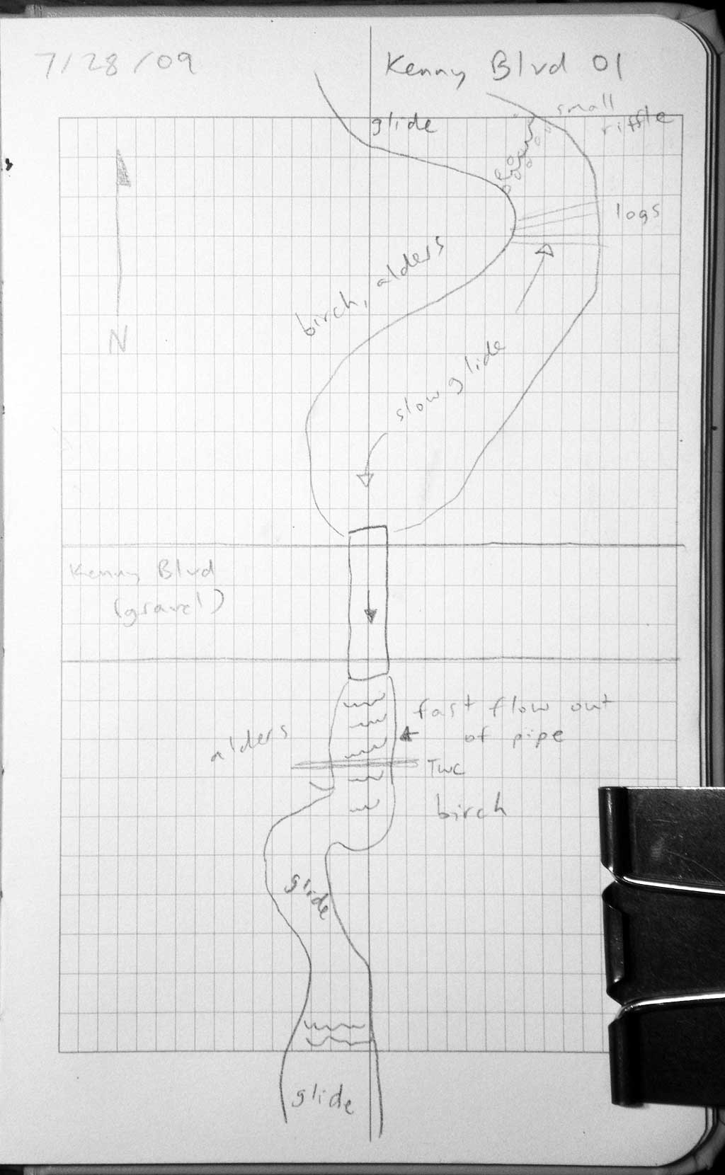
Road Name: Kenny Boulevard
Datum: WGS84
Quad Name / ITM: Anchorage D-8
AWC Stream #:
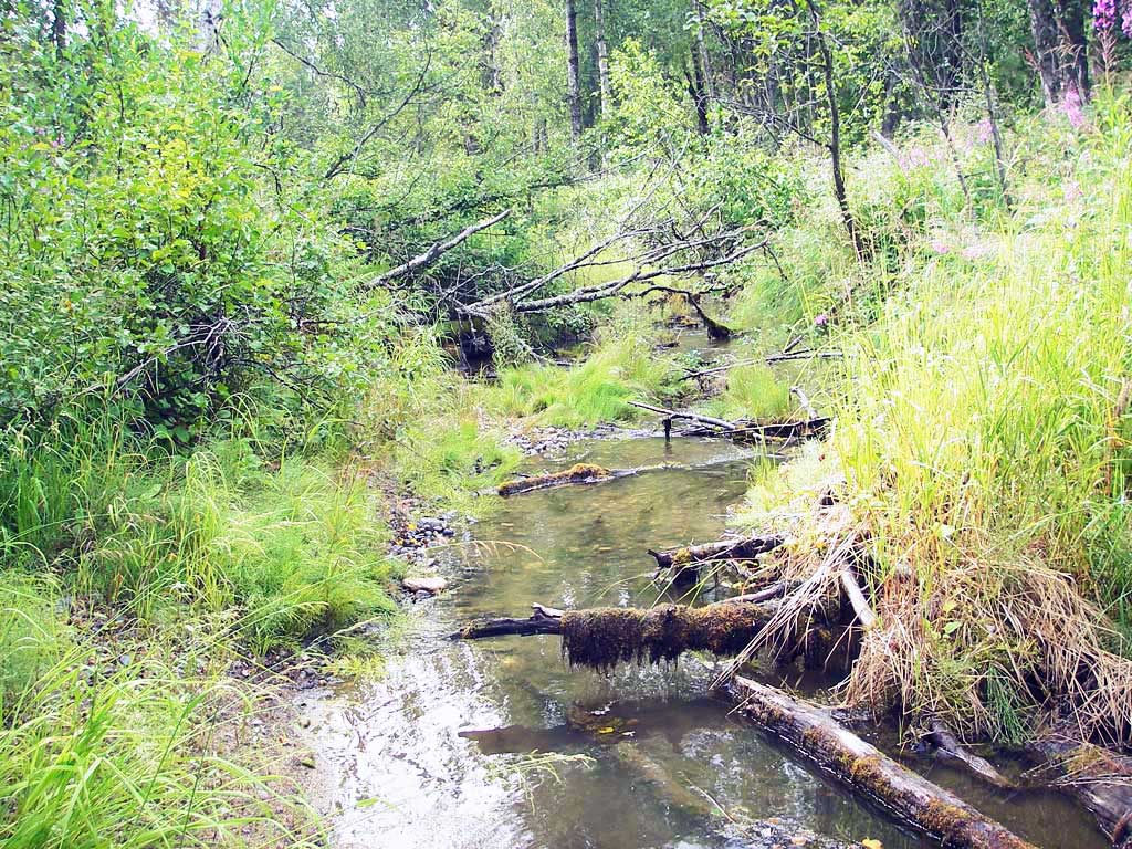
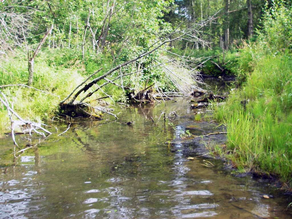
Stream Name: Willow Creek tributary
Elevation:
Site Comments: Slough of Willow Ck
arrow to the right of the survey date below to choose a different report for this site.
Survey MSB09-KNB01
Project Supervisor: Gillian O'Doherty, ADFG
Observers: Heidi Zimmer, Ben Histand
Overall Fish Passage Rating:
Tidal: No
Backwatered: No
Step Pools:
Construction Year:
Site Observations:
- Constriction ratio red
- Hydraulic flows exceeded capacity
- Culvert gradient red
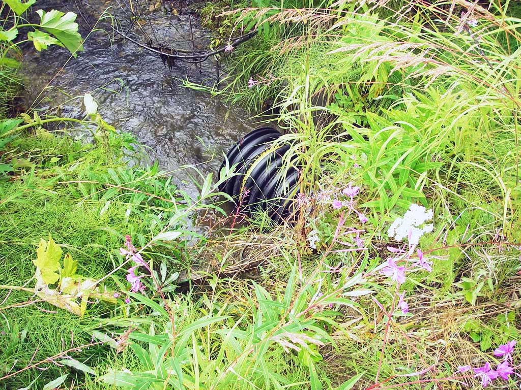
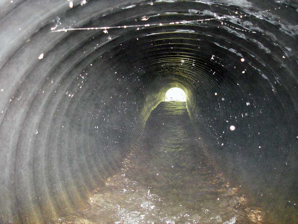
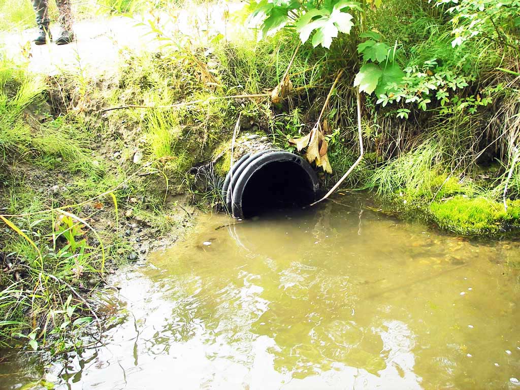
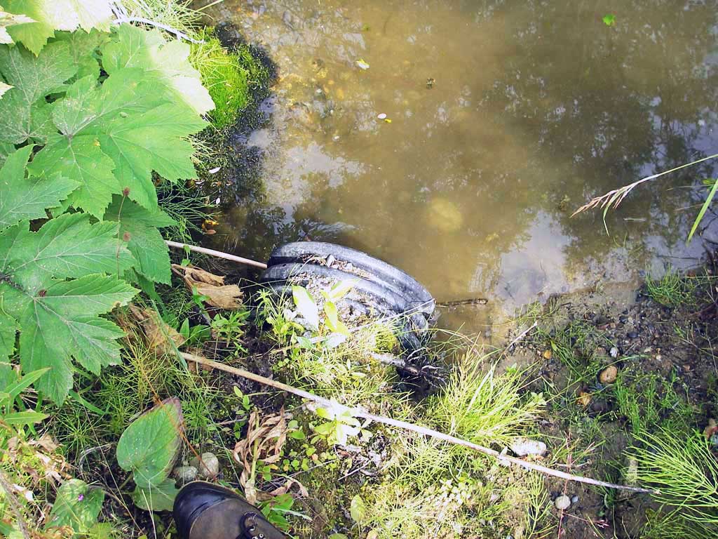
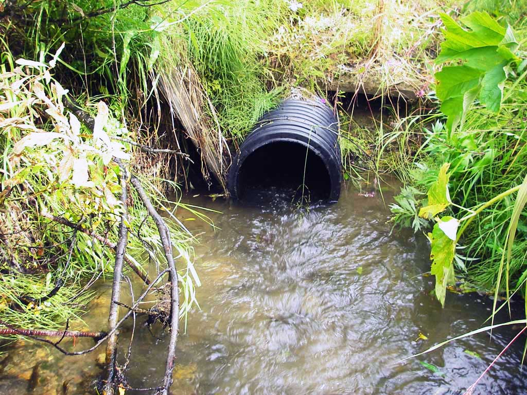
Comments: Plastic pipe - no corrugations inside pipe; coho juv caught u/s and d/s.
Culvert Measurements
| ID: 1 | Structure Type: Circular pipe (Corrugated plastic) | Fish Passage Rating: | |||||||||||||||||||||||||||||||||||||||||
|
|
|
|||||||||||||||||||||||||||||||||||||||||
Comments: No corregations in culvert, only on outside. |
|||||||||||||||||||||||||||||||||||||||||||
Culvert Observations:
|
|||||||||||||||||||||||||||||||||||||||||||
Stream Measurements
|
|
| Stream Width Type | Distance From Crossing (ft) |
Stream Width (ft) |
|---|---|---|
| Upstream ordinary high water | 58.0 | 12.00 |
| Upstream ordinary high water | 150.0 | 9.00 |
| Upstream ordinary high water | 185.0 | 12.00 |
Elevations
| Locator ID | Culvert Number |
River Distance (ft)1 |
Distance From Crossing (ft)2 |
Relative Elevation (ft) |
|---|---|---|---|---|
| Outlet Pool Water Elev | 1 | 99.05 | ||
| U/S Headwater | 1 | 99.62 | ||
| D/S Grade Ctrl (Thalweg) | 1 | 0.00 | 18.0 | 98.50 |
| D/S Water Surface Elev (@GP) | 1 | 0.00 | 18.0 | 98.94 |
| D/S Tailcrest or 1st Thalweg | 1 | 12.80 | 5.2 | 98.74 |
| D/S Water Surface Elev (@TWC) | 1 | 12.80 | 5.2 | 99.04 |
| D/S Thalweg | 1 | 16.00 | 2.0 | 98.43 |
| D/S Thalweg (stream bed @ end of pipe) | 1 | 18.00 | 0.0 | 98.38 |
| Outlet Invert | 1 | 18.00 | 0.0 | 98.62 |
| Road Elev | 1 | 32.00 | 101.79 | |
| Inlet Culvert Invert | 1 | 46.80 | 0.0 | 99.17 |
| U/S Water Surface Elev (@GP) | 1 | 49.80 | 3.0 | 99.65 |
| U/S Grade Ctrl (Thalweg) | 1 | 49.80 | 3.0 | 99.01 |
Notes:
- River distance is measured continuously throughout the survey reach along the thalweg of the stream.
- Measured from each end of the crossing along the thalweg of the stream.
Fish Sampling Efforts
| Gear Type: Minnow Trap (A) | Trap Duration(h): 1.0 | |
| Comments: 40ft d/s; next to log | ||
| Gear Type: Minnow Trap (B) | Trap Duration(h): 1.0 | |
| Comments: 90ft u/s; next to log | ||
Fish Observations
| Species: juvenile coho salmon | Life History: Anadromous (Suspected Spawning) | ||
| Total Fish Observed: 6 | Fish Measured: 6 | Fork Lengths (mm) Min: 35 Max: 90 Mean: 69 | |
| Collected/Observed by Gear Type: Upstream Minnow Trap (2) Downstream Minnow Trap (4) | |||
Photos
Questions or comments about this report can be directed to dfg.dsf.webmaster@alaska.gov