Fish Passage Site 20501189
Coordinates (dec. deg.): 61.69695°, -149.99681°
Legal Description: S019N004W33
Region: South Central
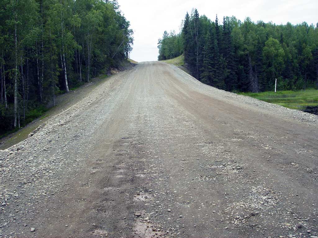
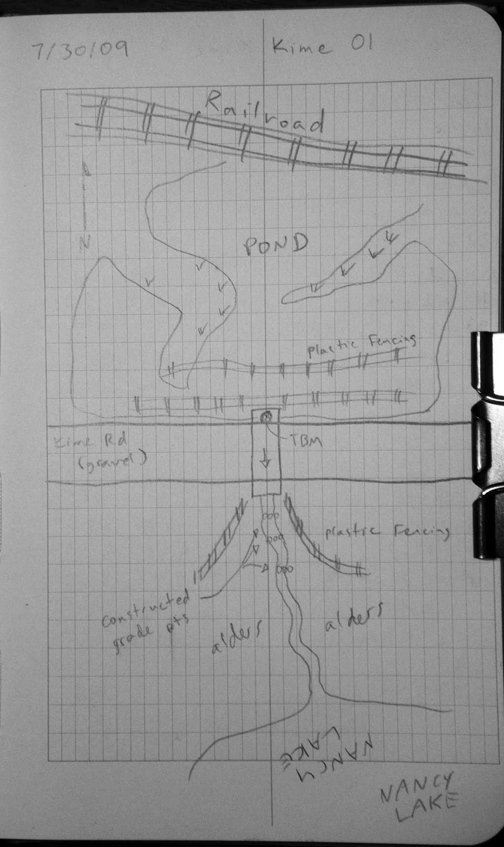
Road Name: Kime Lane
Datum: WGS84
Quad Name / ITM: Anchorage C-8
AWC Stream #: 247-41-10100-2231-3070
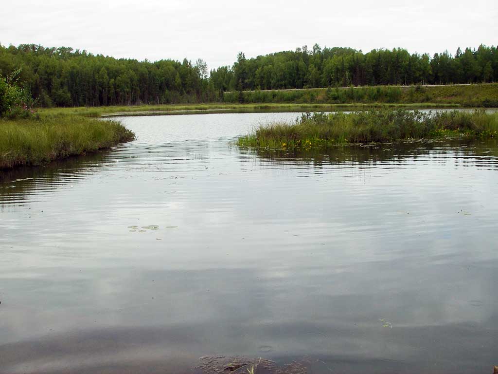
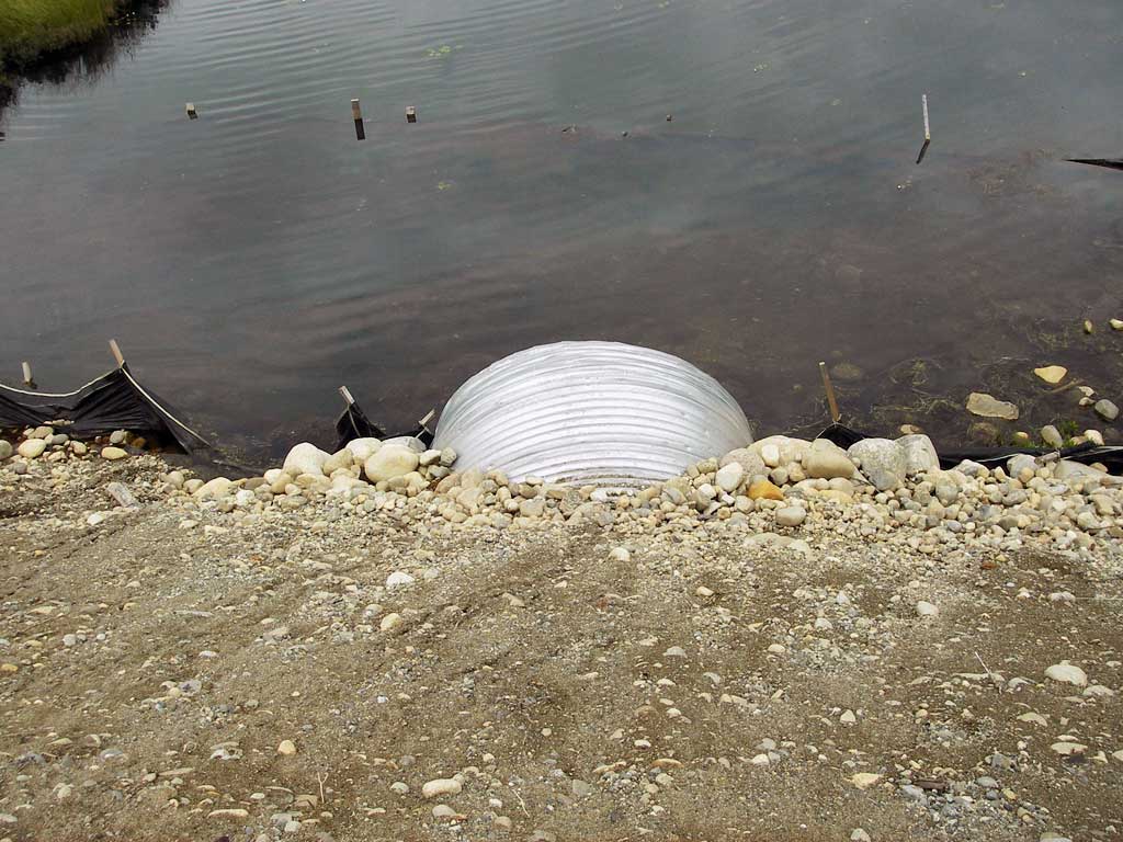
Stream Name: Outlet of Kime Pond
Elevation:
Site Comments: Nancy Lake and unnamed pond
arrow to the right of the survey date below to choose a different report for this site.
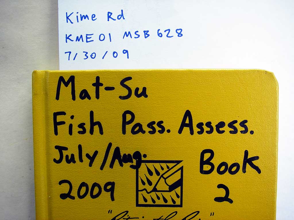
Survey MSB09-KME01
Project Supervisor: Gillian O'Doherty, ADFG
Observers: Heidi Zimmer, Ben Histand
Overall Fish Passage Rating:
Tidal: No
Backwatered: No
Step Pools: Yes
Construction Year:
Site Observations:
- None of this type
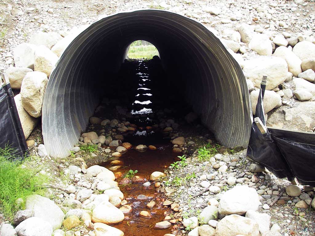
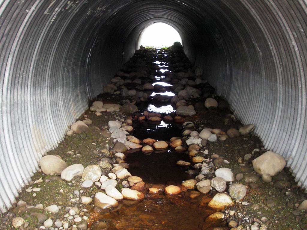
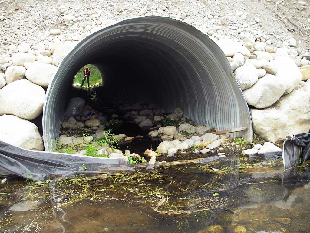
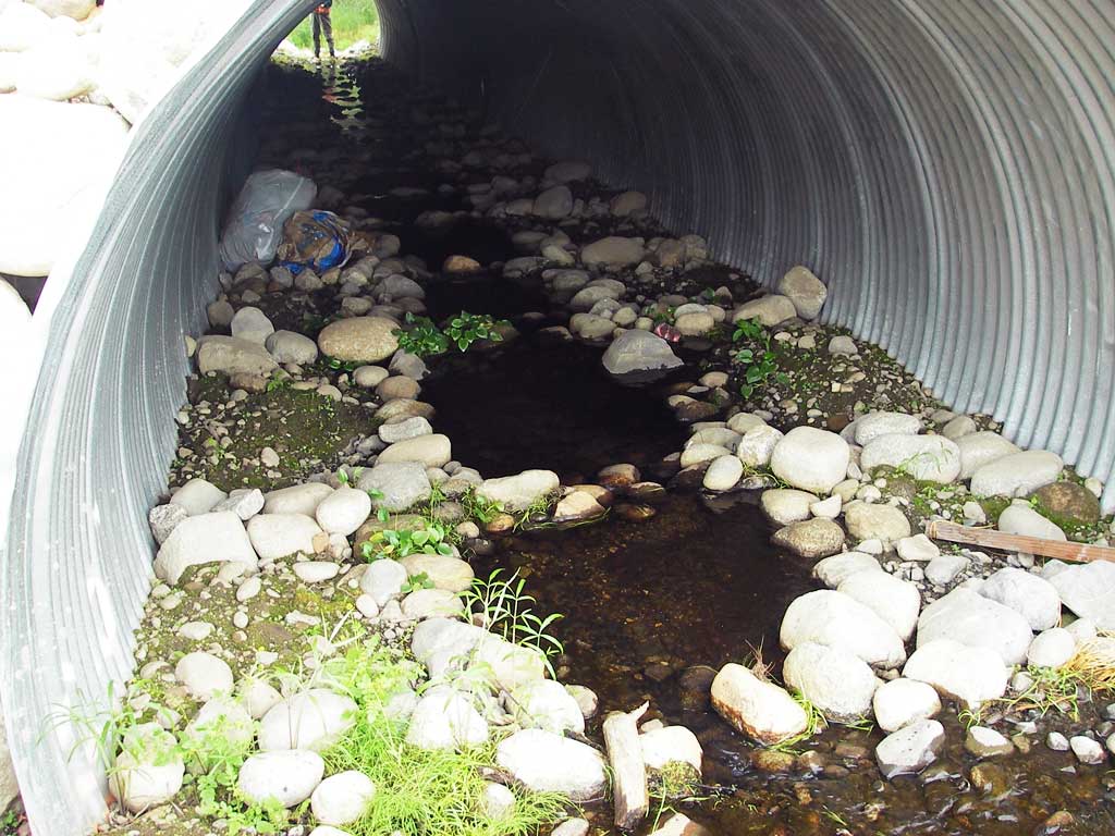
Comments: Post-replacement survey; d/s gradient = 3.74%; series of step-pools in pipe; u/s is small lake; d/s chan spreads; Inlet blocked by beaver dam in Sept 2021 site visit.
Culvert Measurements
| ID: 1 | Structure Type: Circular pipe (Corrugated steel) | Fish Passage Rating: | ||||||||||||||||||||||||||||||||||||||||||
|
|
|
||||||||||||||||||||||||||||||||||||||||||
Comments: Post-replacement survey; d/s gradient = 3.74%; series of step-pools in pipe; u/s is small lake; d/s chan spreads; |
||||||||||||||||||||||||||||||||||||||||||||
Culvert Observations:
|
||||||||||||||||||||||||||||||||||||||||||||
Stream Measurements
|
|
| Stream Width Type | Distance From Crossing (ft) |
Stream Width (ft) |
|---|---|---|
| Downstream ordinary high water | 38.0 | 4.00 |
Elevations
| Locator ID | Culvert Number |
River Distance (ft)1 |
Distance From Crossing (ft)2 |
Relative Elevation (ft) |
|---|---|---|---|---|
| U/S Headwater | 1 | 94.82 | ||
| D/S Grade Ctrl (Thalweg) | 1 | 0.00 | 57.0 | 88.66 |
| D/S Water Surface Elev (@GP) | 1 | 0.00 | 57.0 | 88.90 |
| D/S Grade Ctrl (Thalweg) | 1 | 17.00 | 40.0 | 89.34 |
| D/S Water Surface Elev (@GP) | 1 | 17.00 | 40.0 | 89.51 |
| D/S Grade Ctrl (Thalweg) | 1 | 42.00 | 15.0 | 90.35 |
| D/S Water Surface Elev (@GP) | 1 | 42.00 | 15.0 | 90.54 |
| D/S Water Surface Elev (@GP) | 1 | 46.00 | 11.0 | 90.62 |
| D/S Grade Ctrl (Thalweg) | 1 | 46.00 | 11.0 | 90.49 |
| D/S Thalweg (bottom of step d/s) | 1 | 49.50 | 7.5 | 90.52 |
| D/S Thalweg (top of step d/s) | 1 | 51.00 | 6.0 | 90.84 |
| Outlet Invert | 1 | 57.00 | 0.0 | 91.17 |
| Outlet Pool Water Elev | 1 | 57.00 | 91.33 | |
| Road Elev | 1 | 97.00 | 110.34 | |
| Inlet Culvert Invert | 1 | 137.40 | 0.0 | 94.68 |
| U/S Grade Ctrl (Thalweg) (log/cobble) | 1 | 138.40 | 1.0 | 94.95 |
| U/S Water Surface Elev (@GP) | 1 | 138.40 | 1.0 | 95.05 |
Notes:
- River distance is measured continuously throughout the survey reach along the thalweg of the stream.
- Measured from each end of the crossing along the thalweg of the stream.
Fish Sampling Efforts
No fish sampling occurred during this survey.
Fish Observations
No fish observations occurred during this survey.
Photos

Questions or comments about this report can be directed to dfg.dsf.webmaster@alaska.gov