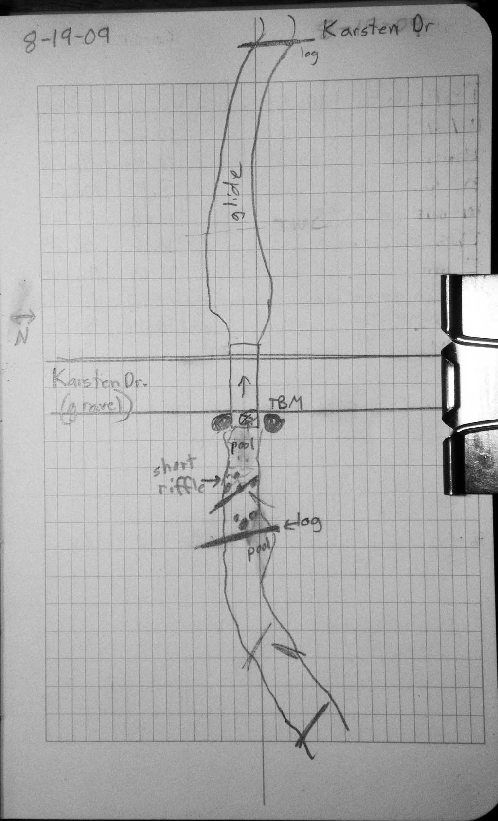
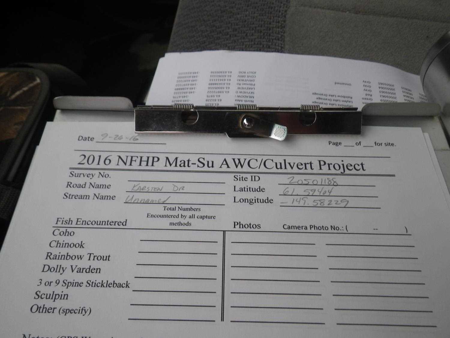
Fish Passage Site 20501188
Coordinates (dec. deg.): 61.59410°, -149.58215°
Legal Description: S017N002W02
Region: South Central
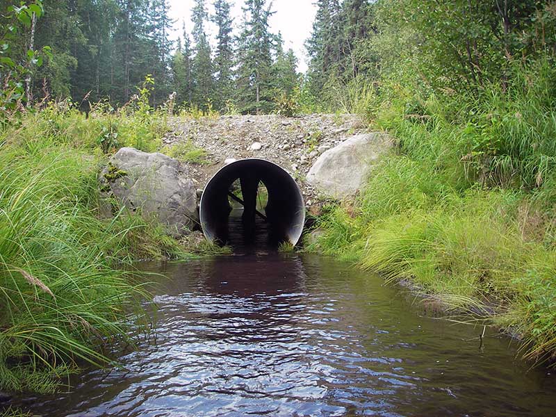
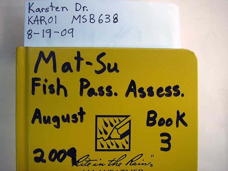
Road Name: Karsten Drive
Datum: WGS84
Quad Name / ITM: Anchorage C-7
AWC Stream #:
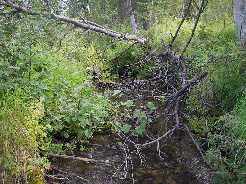
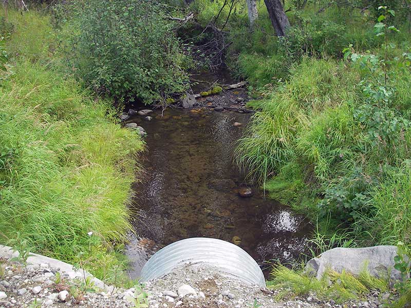
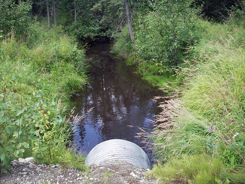
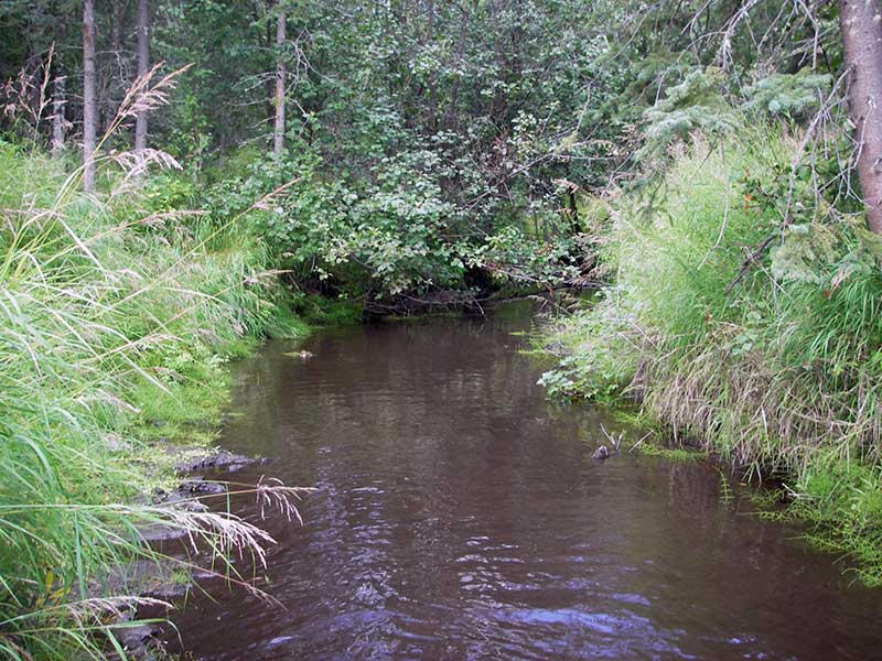
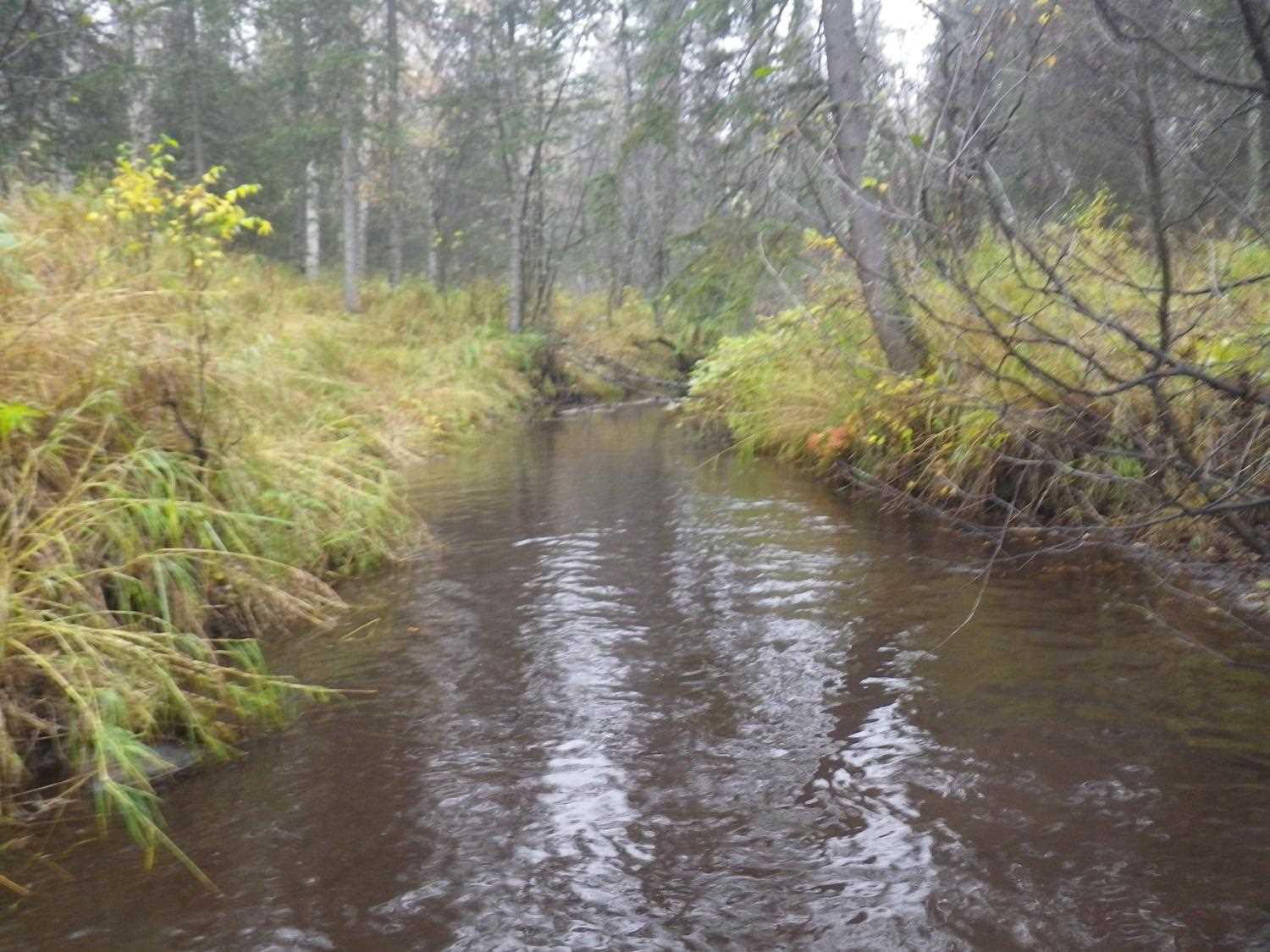
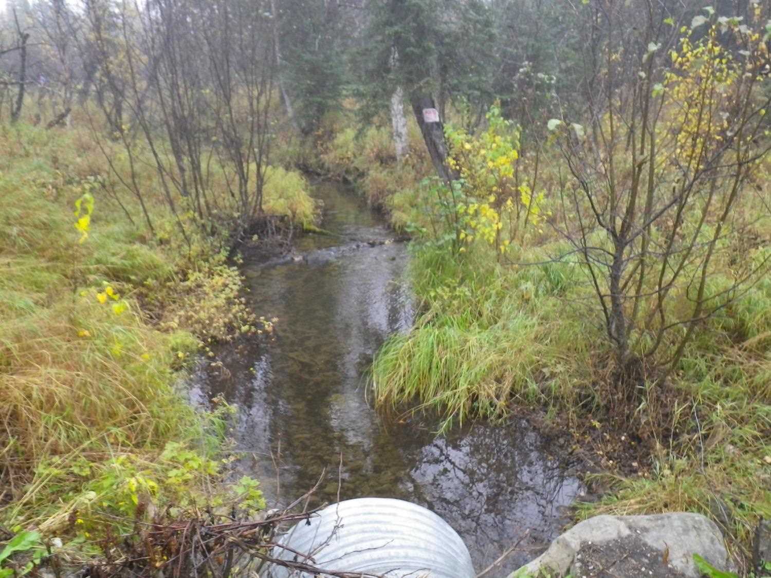
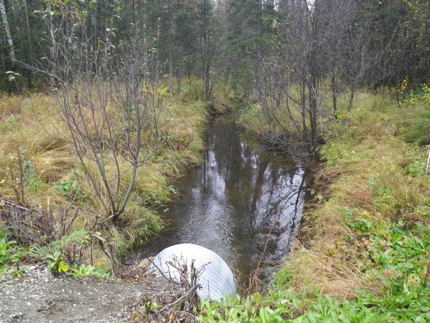
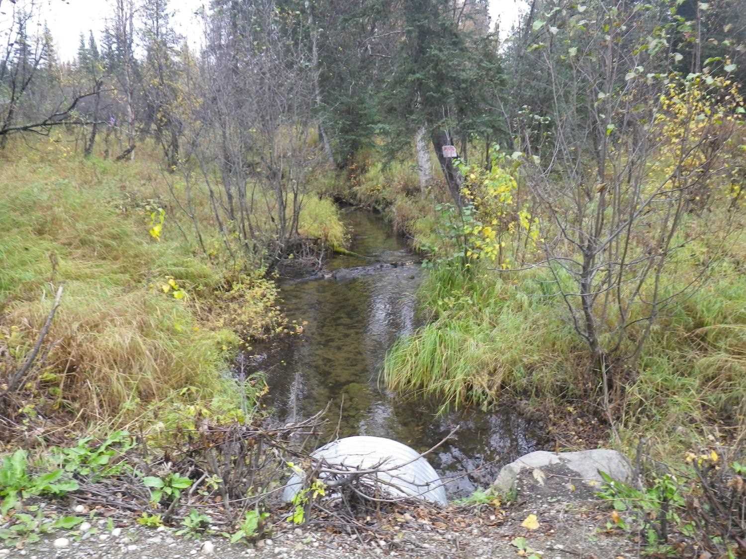
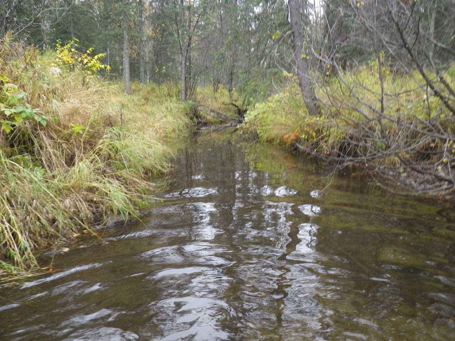
Stream Name: Meadow Creek tributary
Elevation:
Site Comments: None
arrow to the right of the survey date below to choose a different report for this site.
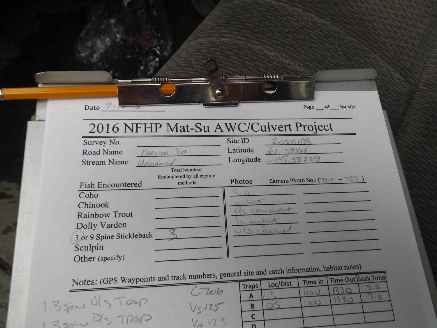
Survey MSB09-KAR01
Project Supervisor: Gillian O'Doherty, ADFG
Observers: Heidi Zimmer, Ben Histand
Overall Fish Passage Rating:
Tidal: No
Backwatered: No
Step Pools:
Construction Year:
Site Observations:
- Constriction ratio red
- Culvert gradient gray
- Woody Debris
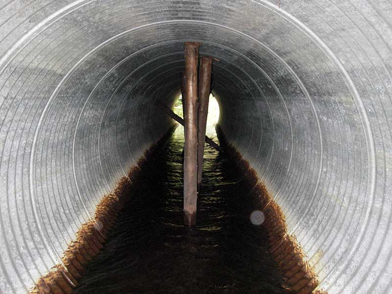
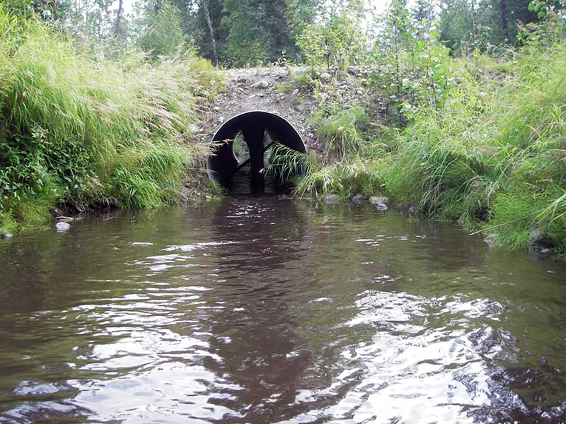
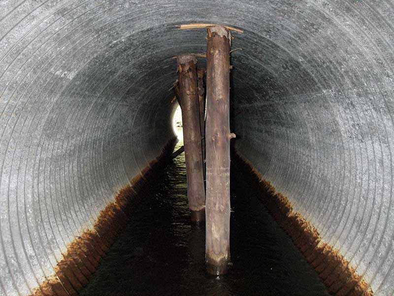
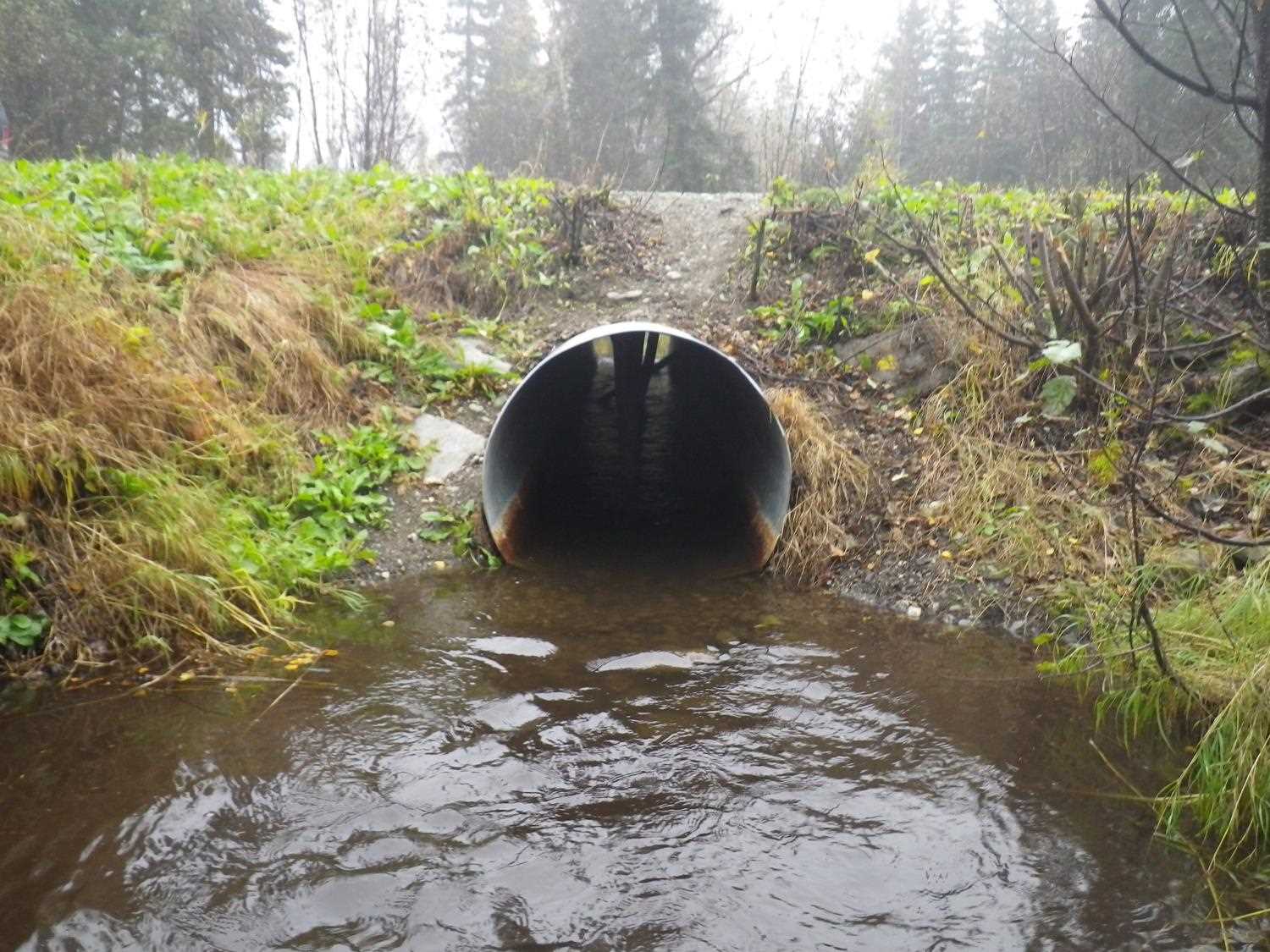
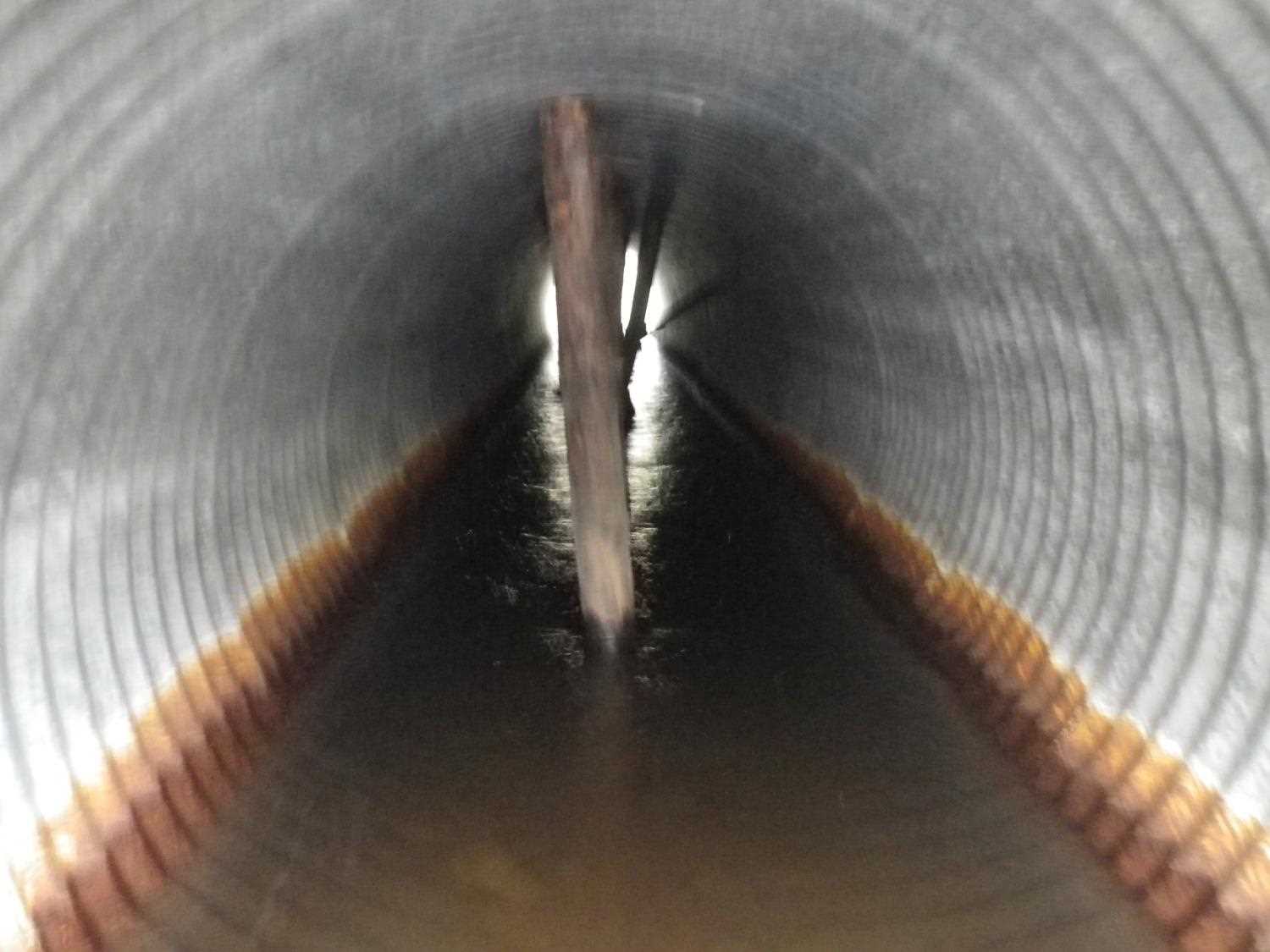
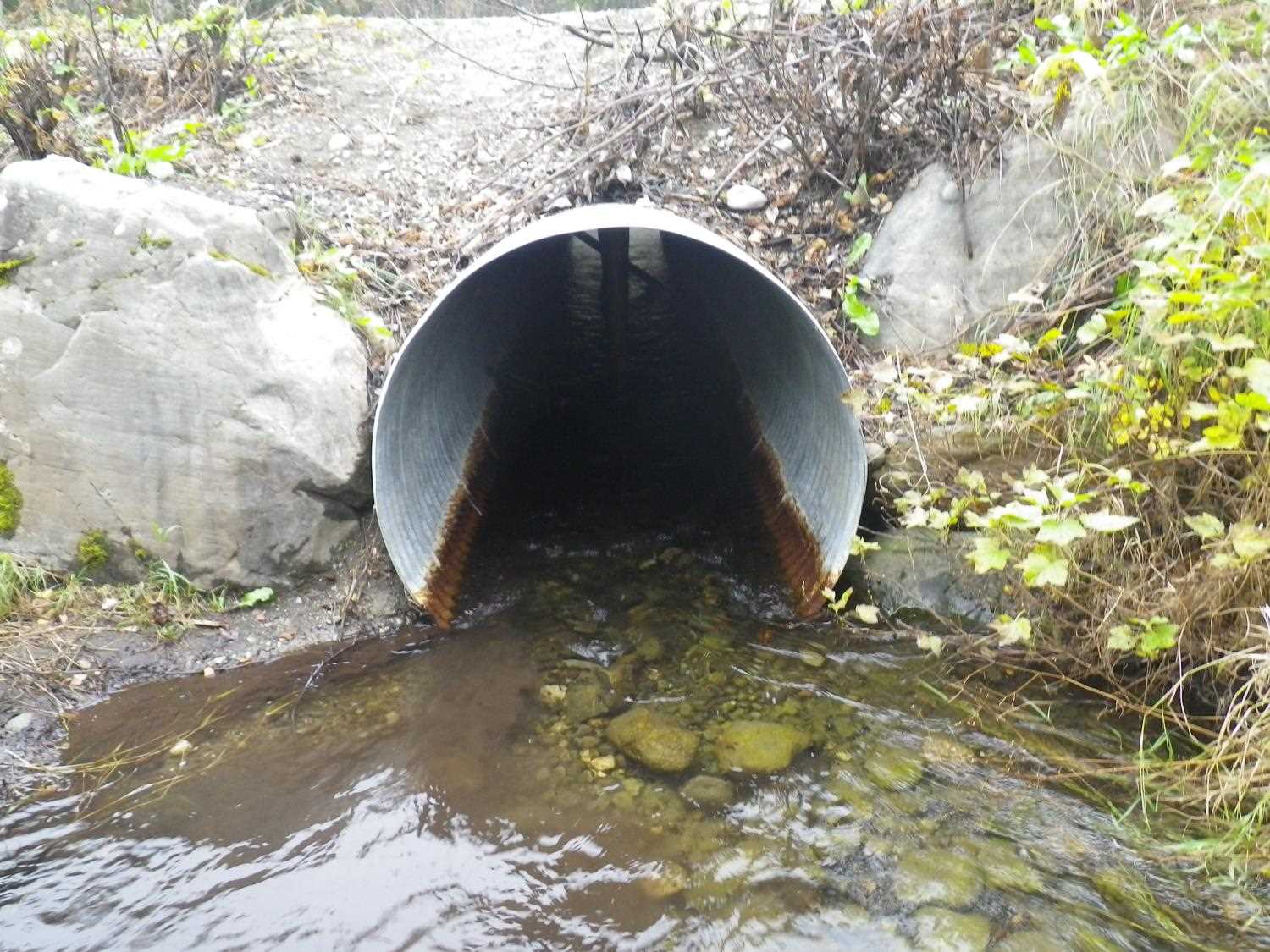
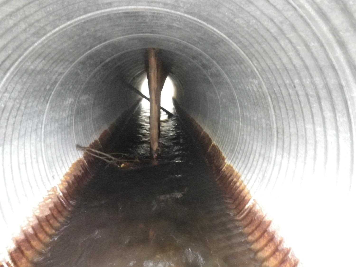
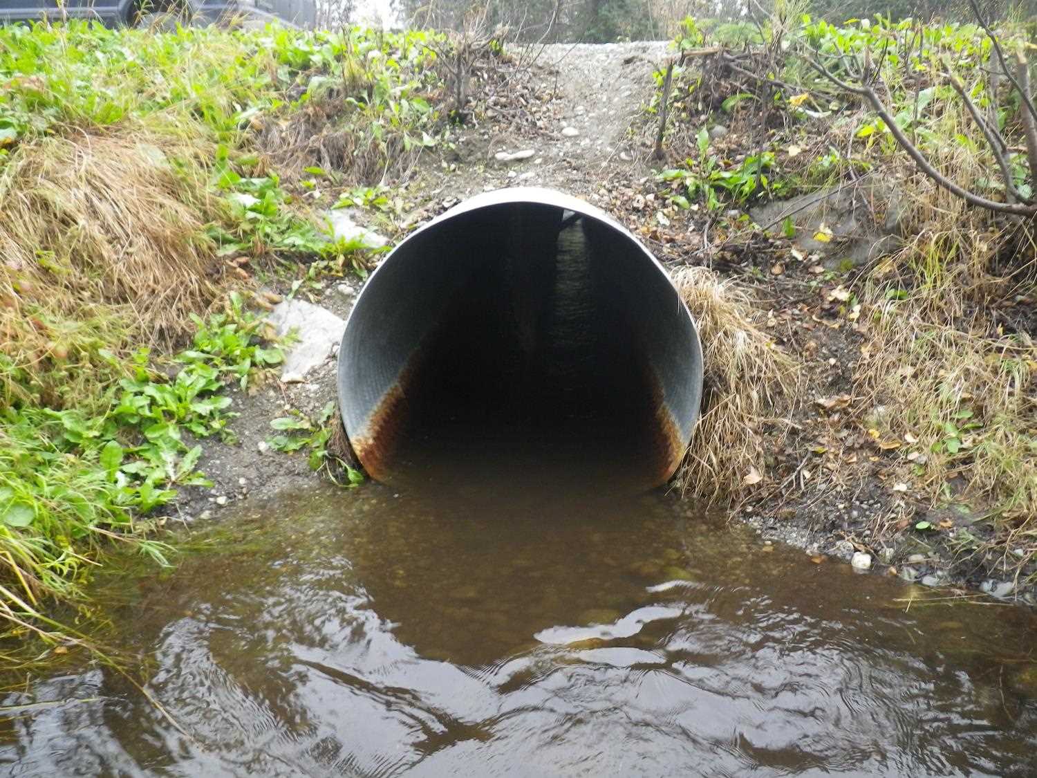
Comments: Wooden struts in pipe; obs small (10mm) fish u/s and d/s (no fish caught). Updated site photos added from 9/26/16 site visit for Sampling Unmapped Streams in the MSB project. Fish sampling data entered into AFFI.
Culvert Measurements
| ID: 1 | Structure Type: Circular pipe (Corrugated steel) | Fish Passage Rating: | |||||||||||||||||||||||||||||||||||||||||
|
|
|
|||||||||||||||||||||||||||||||||||||||||
Culvert Observations:
|
|||||||||||||||||||||||||||||||||||||||||||
Stream Measurements
|
|
| Stream Width Type | Distance From Crossing (ft) |
Stream Width (ft) |
|---|---|---|
| Upstream ordinary high water | 85.0 | 8.00 |
| Upstream ordinary high water | 138.0 | 9.00 |
| Upstream ordinary high water | 195.0 | 13.00 |
Elevations
| Locator ID | Culvert Number |
River Distance (ft)1 |
Distance From Crossing (ft)2 |
Relative Elevation (ft) |
|---|---|---|---|---|
| Outlet Pool Water Elev | 1 | 96.35 | ||
| U/S Headwater (pool immed. u/s of inlet) | 1 | 96.46 | ||
| D/S Thalweg (on top of log across chan - prob flow underneath log) | 1 | 0.00 | 91.0 | 96.11 |
| D/S Water Surface Elev (just u/s of log) | 1 | 0.00 | 91.0 | 96.27 |
| D/S Thalweg | 1 | 86.00 | 5.0 | 95.08 |
| Outlet Invert | 1 | 91.00 | 0.0 | 95.64 |
| Road Elev | 1 | 111.00 | 102.66 | |
| Inlet Culvert Invert | 1 | 131.60 | 0.0 | 95.91 |
Notes:
- River distance is measured continuously throughout the survey reach along the thalweg of the stream.
- Measured from each end of the crossing along the thalweg of the stream.
Fish Sampling Efforts
| Gear Type: Minnow Trap (A) | Trap Duration(h): 0.75 | |
| Comments: no fish caught; 100ft u/s | ||
| Gear Type: Minnow Trap (B) | Trap Duration(h): 0.75 | |
| Comments: no fish caught; 110 ft d/s | ||
| Gear Type: Visual Observation, Ground (C) | ||
| Comments: Observed small (10mm) unidentified fish upstream and downstream from culvert. | ||
Fish Observations
No fish observations occurred during this survey.
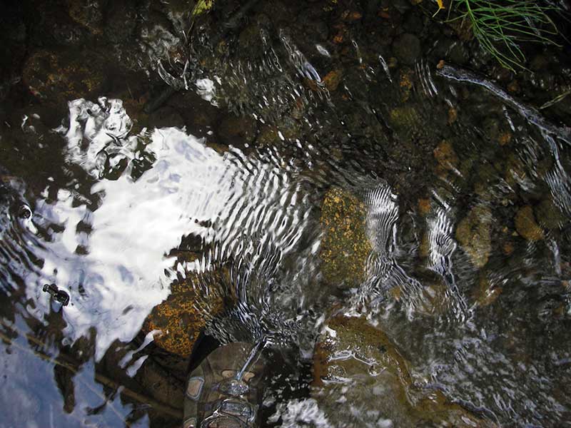
Photos
Questions or comments about this report can be directed to dfg.dsf.webmaster@alaska.gov