Fish Passage Site 20501187
Coordinates (dec. deg.): 61.78111°, -149.27827°
Legal Description: S020N001E33
Region: South Central
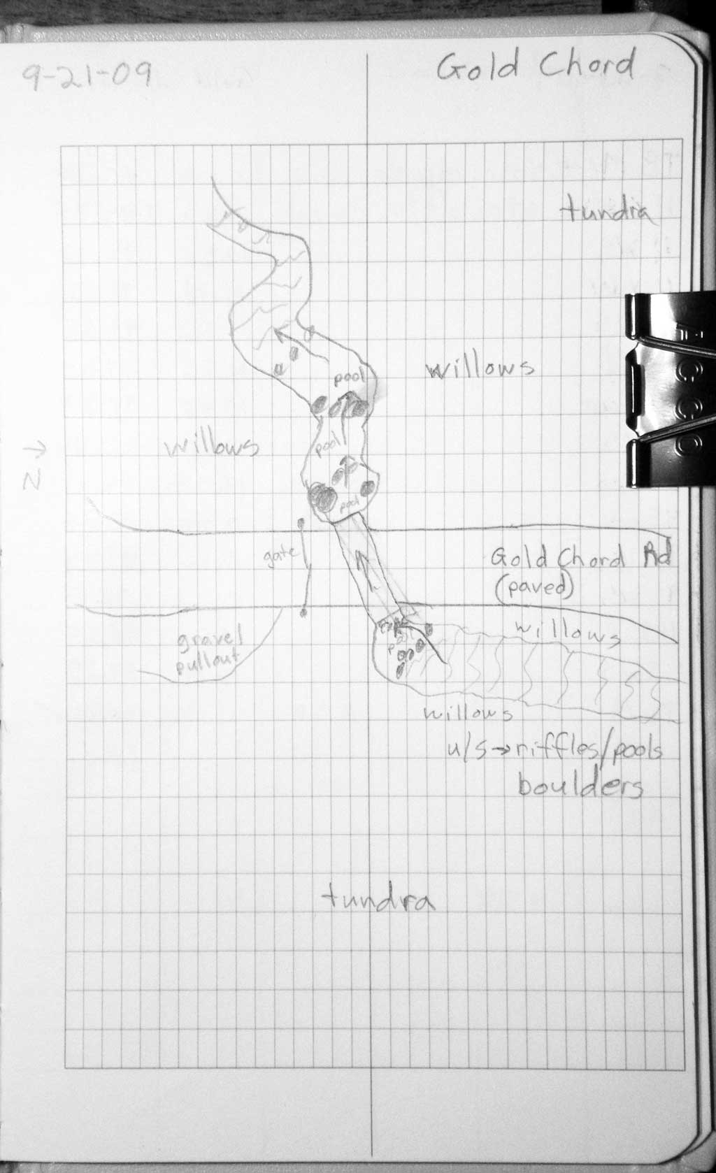
Road Name: Goldchord Road
Datum: WGS84
Quad Name / ITM: Anchorage D-7
AWC Stream #:
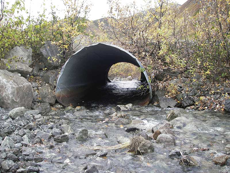
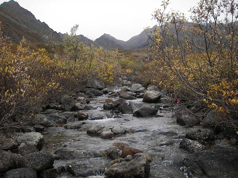
Stream Name: Fishhook Creek
Elevation:
Site Comments: None
Survey MSB09-GCR01
Project Supervisor: Gillian O'Doherty, ADFG
Observers: Heidi Zimmer, Ben Histand
Overall Fish Passage Rating:
Tidal: No
Backwatered: No
Step Pools: No
Construction Year:
Site Observations:
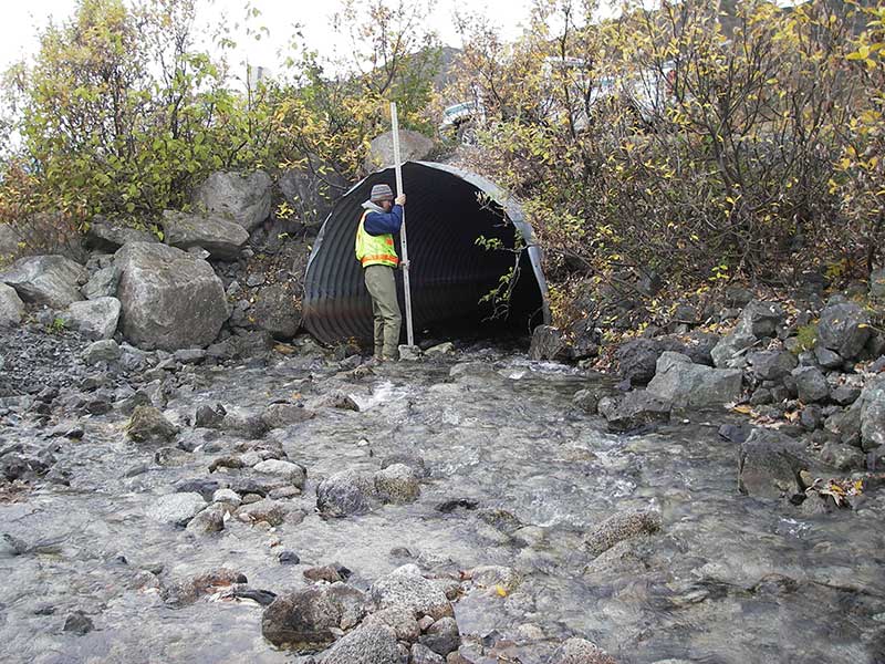
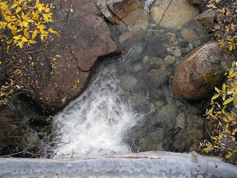
- Culvert gradient red
- Outfall height red
- Constriction ratio gray
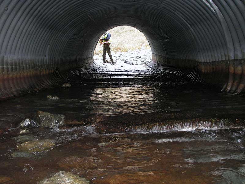
- Compound gradient in pipe
- Mechanical damage or joints parting
- Culvert is poorly aligned
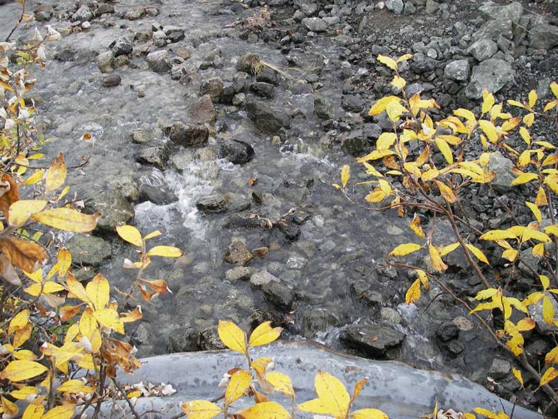
Comments: No fish caught, but one obs d/s.
Culvert Measurements
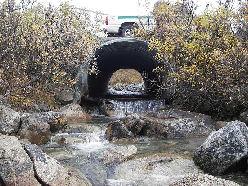
| ID: 1 | Structure Type: Pipe-arch (Structural steel plate) | Fish Passage Rating: | |||||||||||||||||||||||||||||||||||||||||
|
|
|
|||||||||||||||||||||||||||||||||||||||||
Culvert Observations:
|
|||||||||||||||||||||||||||||||||||||||||||
Stream Measurements
|
|
| Stream Width Type | Distance From Crossing (ft) |
Stream Width (ft) |
|---|---|---|
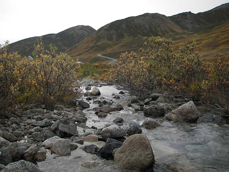
| Upstream ordinary high water | 72.0 | 19.00 |
| Upstream ordinary high water | 119.0 | 14.50 |
| Upstream ordinary high water | 171.0 | 16.00 |
Elevations
| Locator ID | Culvert Number |
River Distance (ft)1 |
Distance From Crossing (ft)2 |
Relative Elevation (ft) |
|---|---|---|---|---|
| Outlet Pool Water Elev (WS of outlet pool) | 1 | 90.04 | ||
| U/S Headwater | 1 | 93.68 | ||
| D/S Grade Ctrl (Thalweg) | 1 | 0.00 | 14.5 | 88.69 |
| D/S Water Surface Elev (@GP) | 1 | 0.00 | 14.5 | 89.25 |
| D/S Tailcrest or 1st Thalweg | 1 | 5.50 | 9.0 | 89.44 |
| D/S Water Surface Elev (@TWC) | 1 | 5.50 | 9.0 | 90.03 |
| D/S Thalweg (bottom of out pool) | 1 | 10.00 | 4.5 | 88.36 |
| D/S Thalweg (bottom of plunge) | 1 | 13.00 | 1.5 | 89.27 |
| Outlet Invert | 1 | 14.50 | 0.0 | 91.38 |
| Road Elev | 1 | 37.00 | 100.54 | |
| Inlet Culvert Invert | 1 | 59.50 | 0.0 | 93.32 |
| U/S Grade Ctrl (Thalweg) (1st GP u/s: top of riffle into inlet) | 1 | 70.50 | 11.0 | 94.88 |
| U/S Water Surface Elev (@GP) | 1 | 70.50 | 11.0 | 95.10 |
Notes:
- River distance is measured continuously throughout the survey reach along the thalweg of the stream.
- Measured from each end of the crossing along the thalweg of the stream.
Fish Sampling Efforts
| Gear Type: Minnow Trap (A) | Trap Duration(h): 1.0 | |
| Comments: no fish caught; 80ft u/s | ||
| Gear Type: Minnow Trap (B) | Trap Duration(h): 1.0 | |
| Comments: no fish caught; 40ft d/s | ||
| Gear Type: Visual Observation, Ground (C) | ||
| Comments: Unidentified fish observed downstream of culvert. | ||
Fish Observations
No fish observations occurred during this survey.
Photos
Questions or comments about this report can be directed to dfg.dsf.webmaster@alaska.gov