Fish Passage Site 20501184
Coordinates (dec. deg.): 61.68557°, -149.29788°
Legal Description: S018N001E04
Region: South Central
Road Name: Private road on Elk Ranch
Datum: WGS84
Quad Name / ITM: Anchorage C-7
AWC Stream #:
Stream Name:
Elevation:
Site Comments: None
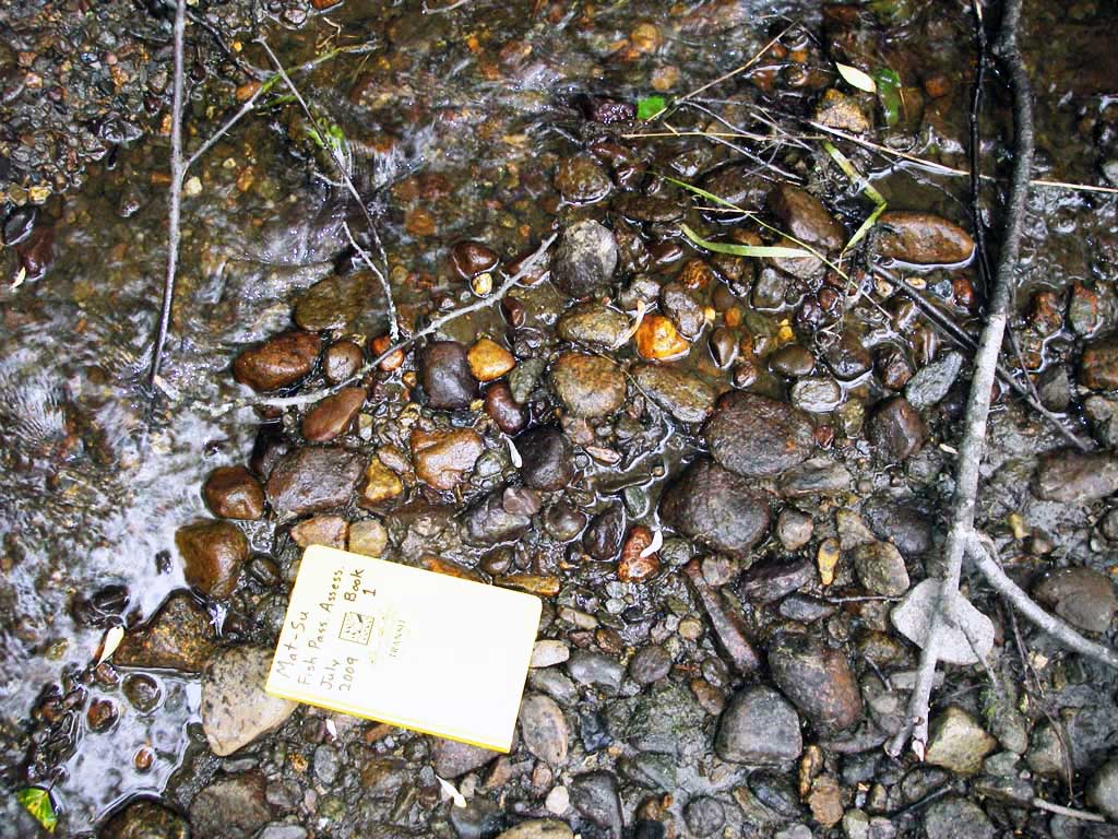
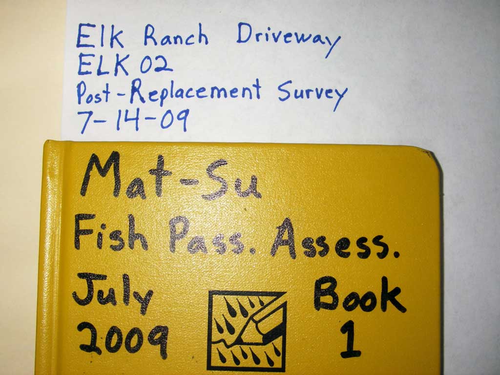
Survey MSB09-ELK02
Project Supervisor: Gillian O'Doherty, ADFG
Observers: Heidi Zimmer, Ben Histand
Overall Fish Passage Rating:
Tidal: No
Backwatered: No
Step Pools: No
Construction Year: 2009
Site Observations:
- None of this type
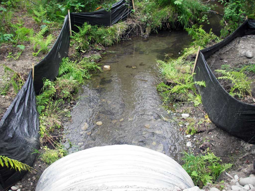
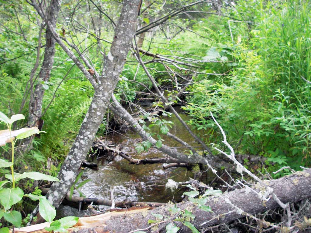
Comments: Post-replacement survey;
Culvert Measurements
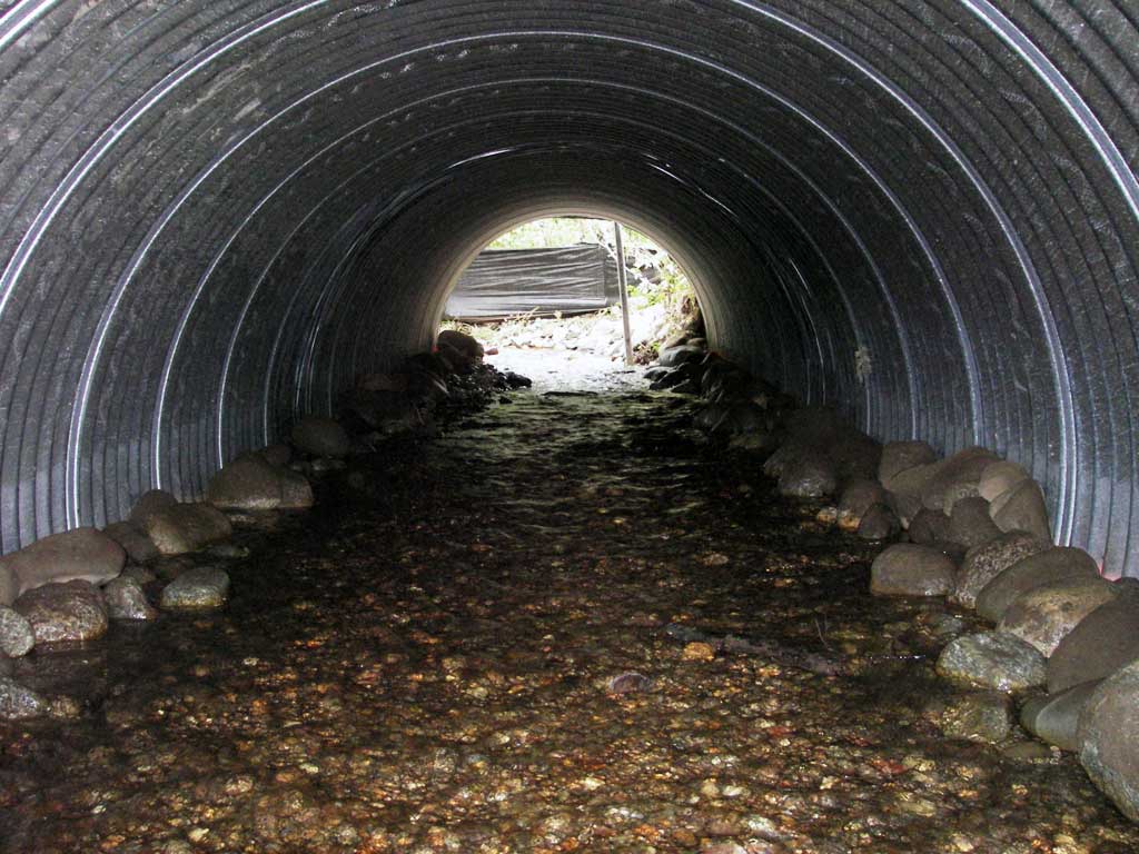
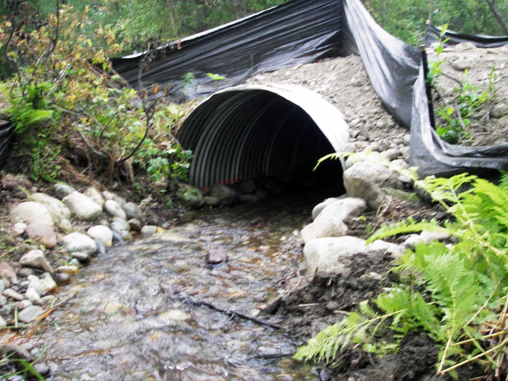
| ID: 1 | Structure Type: Circular pipe (Corrugated steel) | Fish Passage Rating: | ||||||||||||||||||||||||||||||||||||||||||
|
|
|
||||||||||||||||||||||||||||||||||||||||||
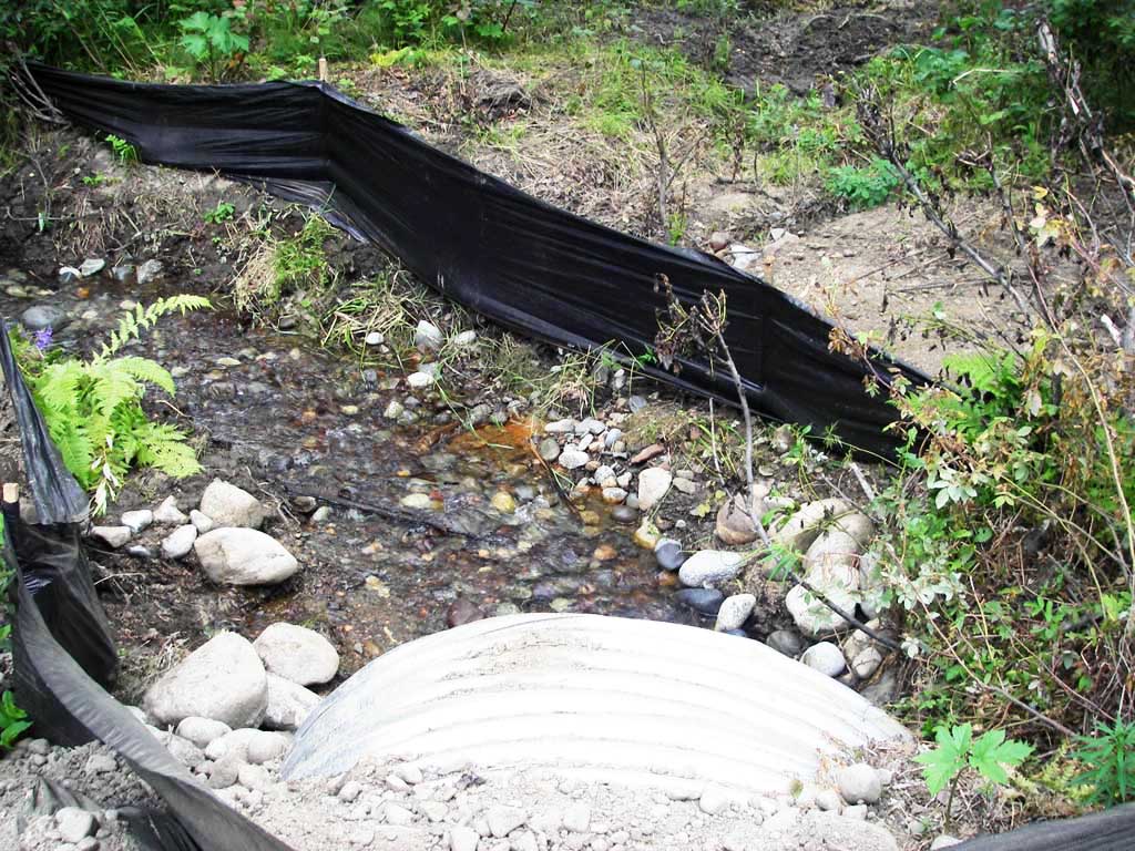
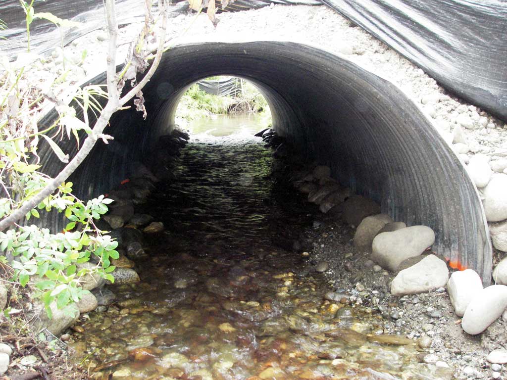
Comments: Uniform riffle through pipe. |
||||||||||||||||||||||||||||||||||||||||||||
Culvert Observations:
|
||||||||||||||||||||||||||||||||||||||||||||
Stream Measurements
|
|
| Stream Width Type | Distance From Crossing (ft) |
Stream Width (ft) |
|---|---|---|
| Upstream ordinary high water | 67.0 | 8.00 |
| Upstream ordinary high water | 92.0 | 5.00 |
| Upstream ordinary high water | 147.0 | 6.00 |
Elevations
| Locator ID | Culvert Number |
River Distance (ft)1 |
Distance From Crossing (ft)2 |
Relative Elevation (ft) |
|---|---|---|---|---|
| D/S Water Surface Elev | 1 | 0.00 | 95.95 | |
| D/S Thalweg (profile pt) | 1 | 0.00 | 95.41 | |
| D/S Thalweg (profile pt) | 1 | 23.00 | 95.69 | |
| D/S Water Surface Elev | 1 | 23.00 | 96.18 | |
| Outlet Invert (on substrate) | 1 | 43.00 | 96.26 | |
| D/S Water Surface Elev (outlet water surface) | 1 | 43.00 | 96.51 | |
| Outlet Culvert Top | 1 | 43.00 | 100.00 | |
| Road Elev | 1 | 58.00 | 101.25 | |
| Inlet Culvert Top | 1 | 73.40 | 100.47 | |
| Inlet Culvert Invert (on substrate) | 1 | 73.40 | 96.75 | |
| U/S Water Surface Elev (inlet water surface) | 1 | 73.40 | 97.06 | |
| U/S Water Surface Elev | 1 | 80.40 | 97.22 | |
| U/S Thalweg (profile pt) | 1 | 80.40 | 96.95 | |
| U/S Water Surface Elev (water surface for gradient) | 1 | 94.40 | 97.71 | |
| U/S Water Surface Elev (water surface for gradient) | 1 | 183.40 | 99.78 |
Notes:
- River distance is measured continuously throughout the survey reach along the thalweg of the stream.
- Measured from each end of the crossing along the thalweg of the stream.
Fish Sampling Efforts
No fish sampling occurred during this survey.
Fish Observations
No fish observations occurred during this survey.
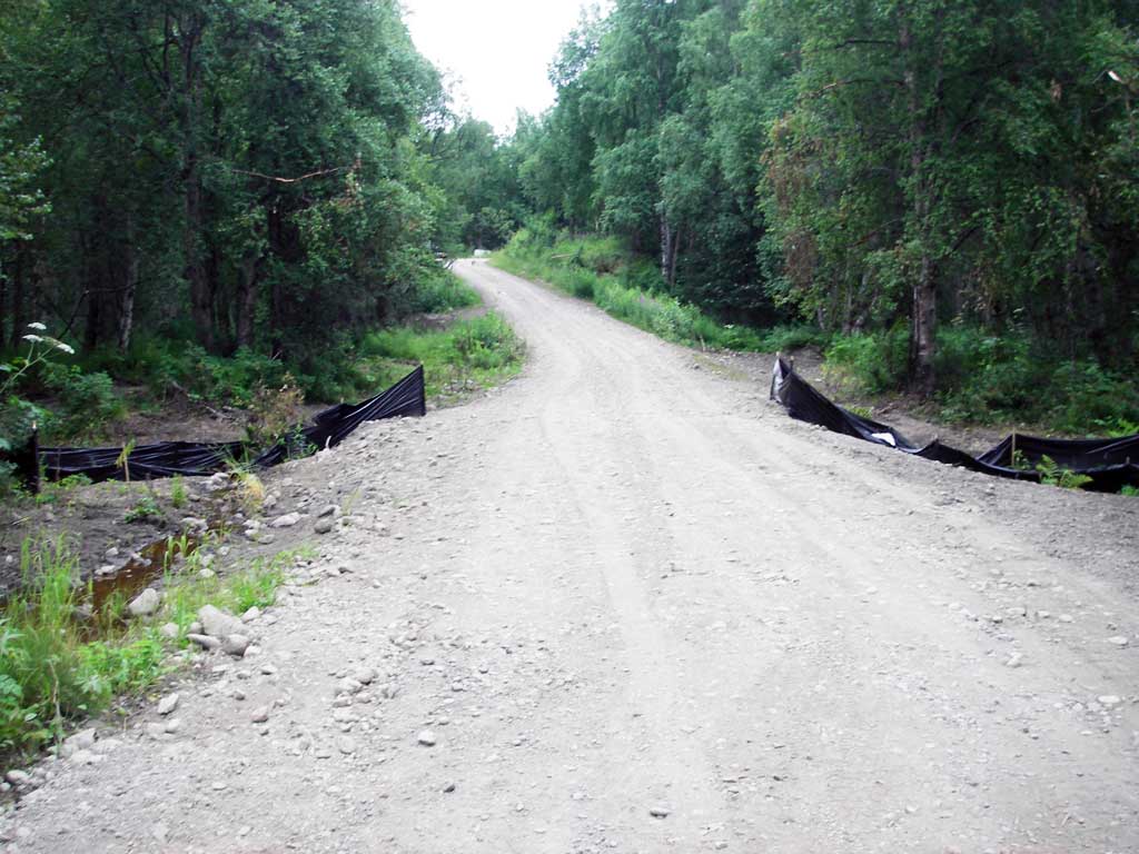
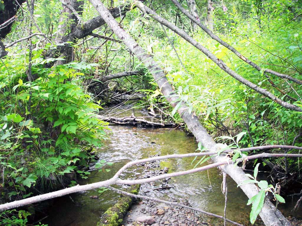
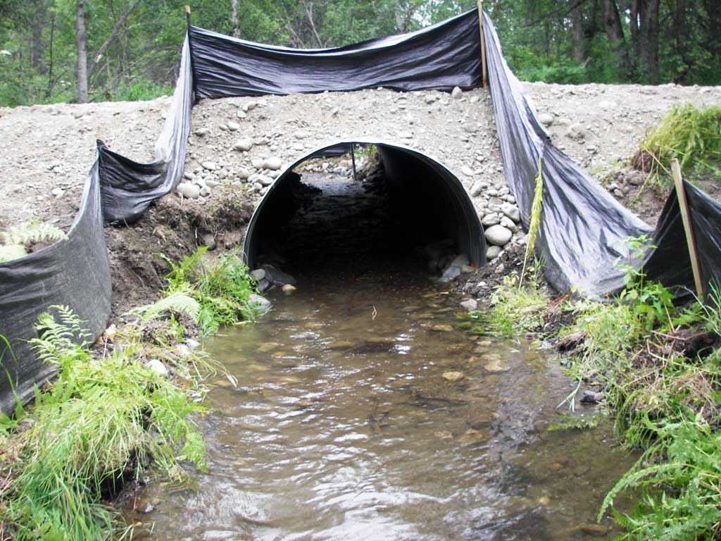
Photos
Questions or comments about this report can be directed to dfg.dsf.webmaster@alaska.gov