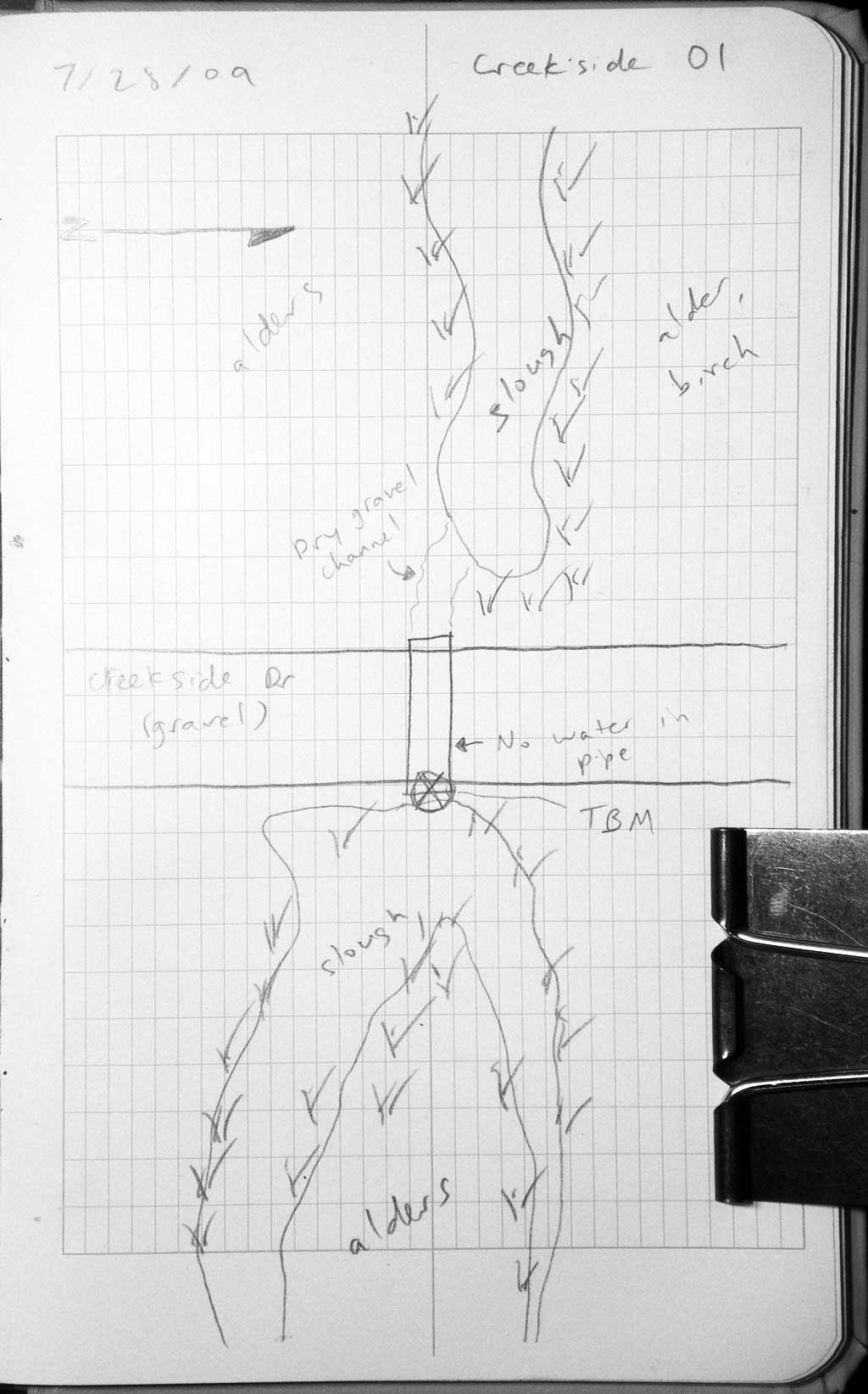
Fish Passage Site 20501181
Coordinates (dec. deg.): 61.76630°, -149.99532°
Legal Description: S019N004W04
Region: South Central
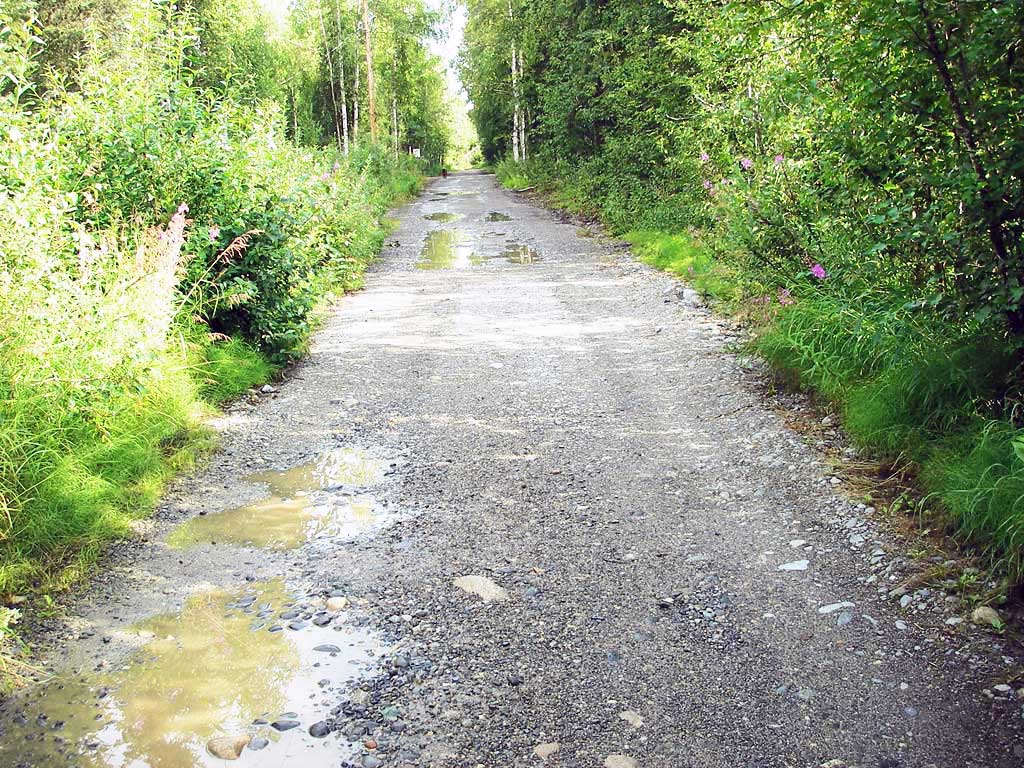
Road Name: Creekside Road
Datum: WGS84
Quad Name / ITM: Anchorage D-8
AWC Stream #: 247-41-10200-2120-3022
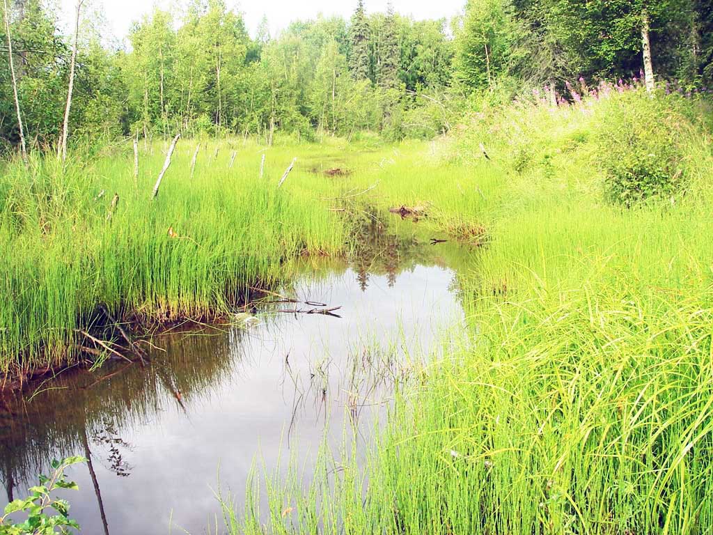
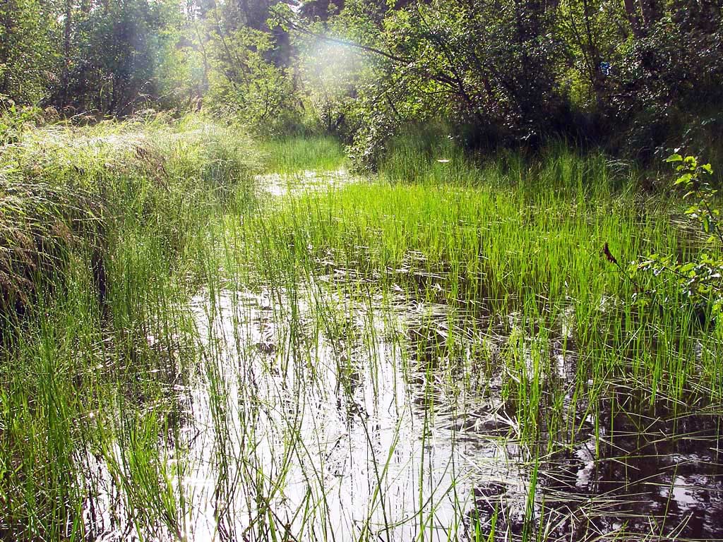
Stream Name: Willow Creek Tributary
Elevation:
Site Comments: None
arrow to the right of the survey date below to choose a different report for this site.
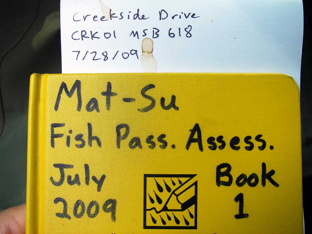
Survey MSB09-CRK01
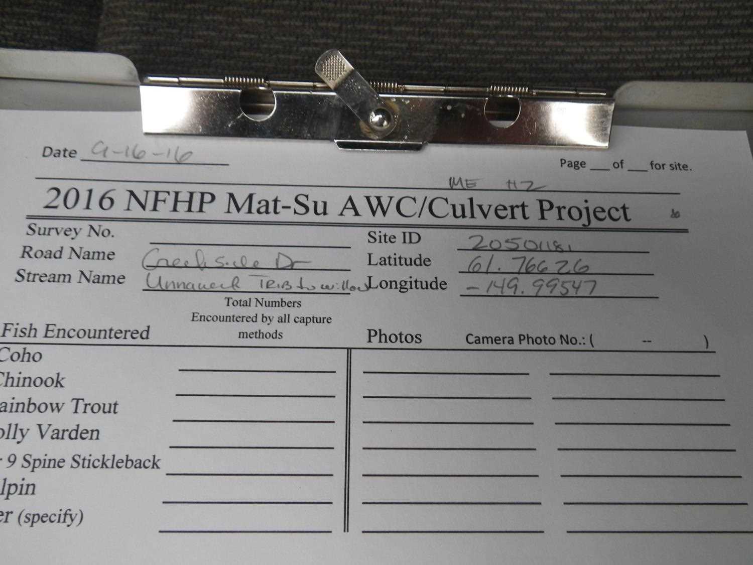
Project Supervisor: Gillian O'Doherty, ADFG
Observers: Heidi Zimmer, Ben Histand
Overall Fish Passage Rating:
Tidal: No
Backwatered: No
Step Pools:
Construction Year:
Site Observations:
- Culvert gradient red
- Shallow fill; inadequate roadfill volume above culvert
- Hydraulic flows exceeded capacity
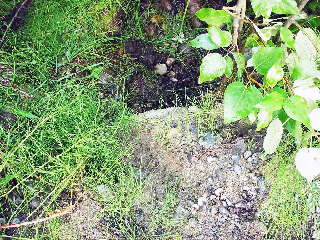
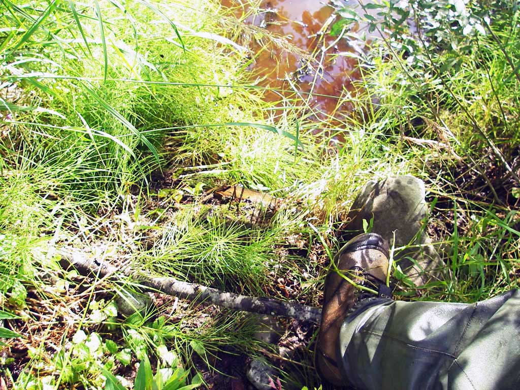
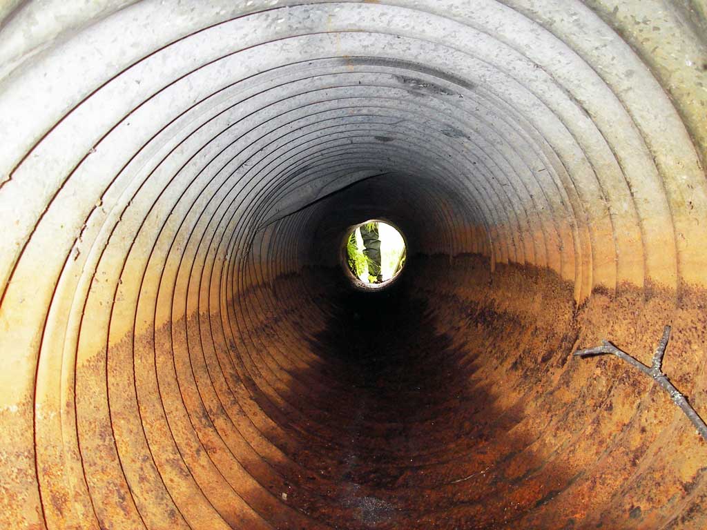
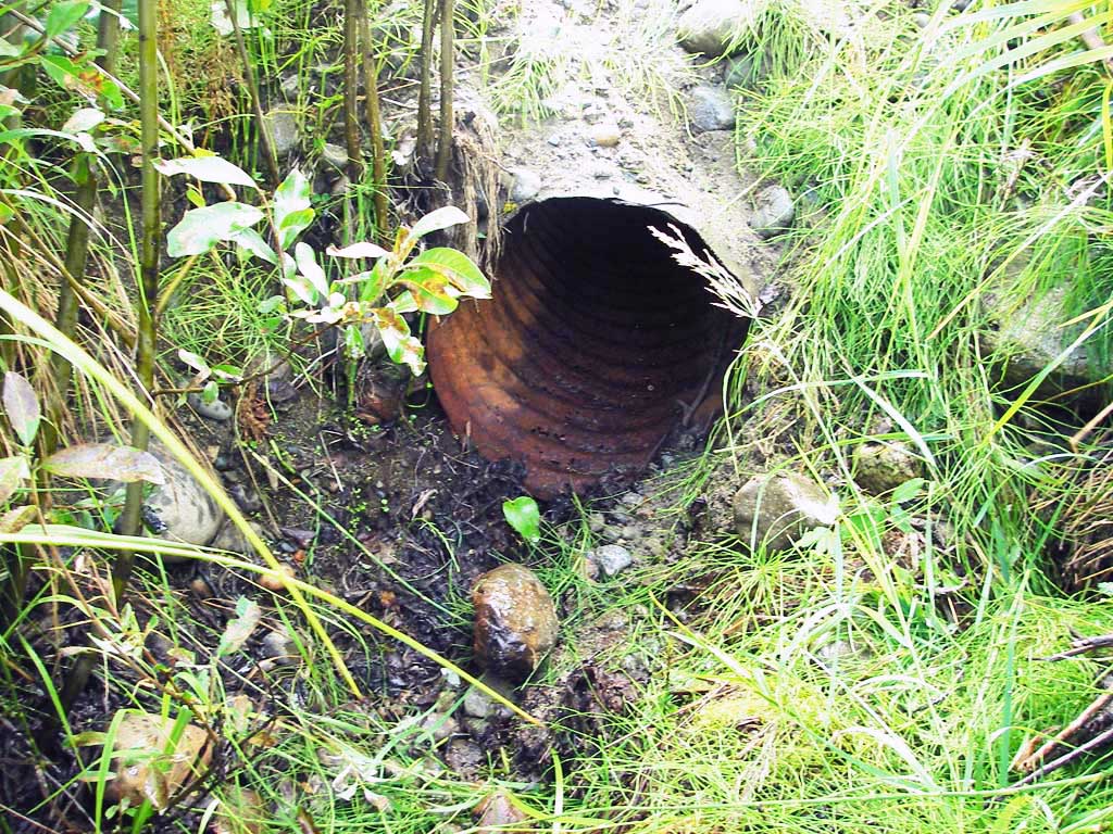
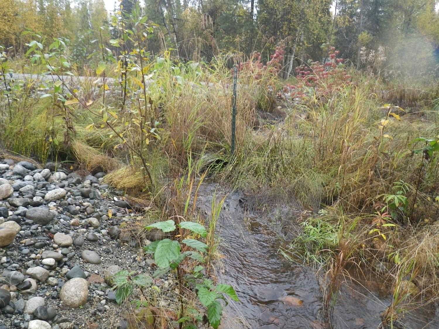
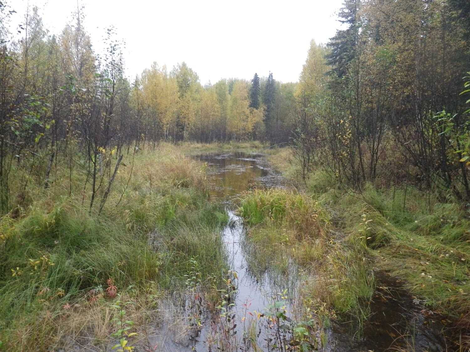
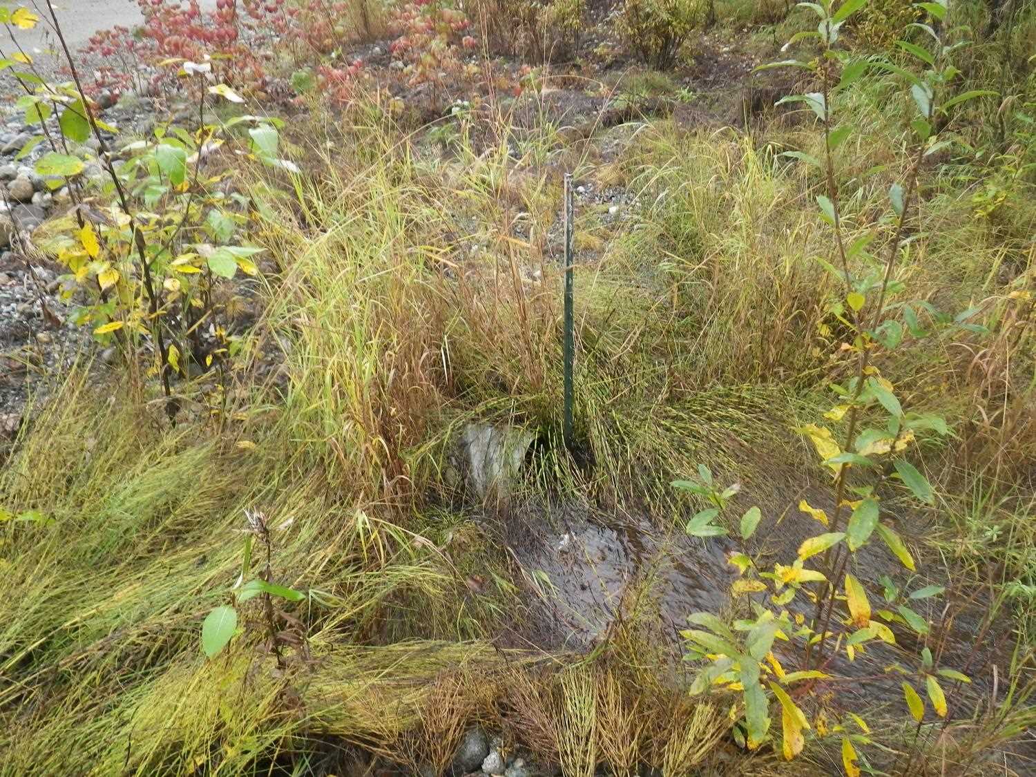
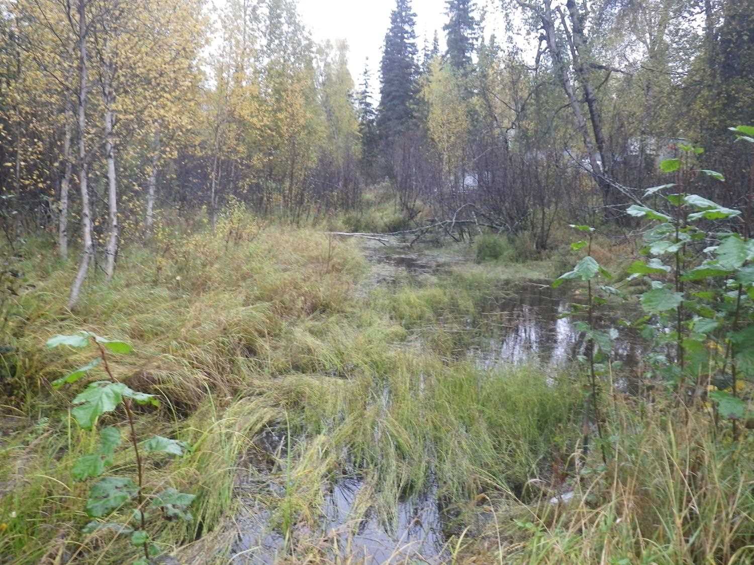
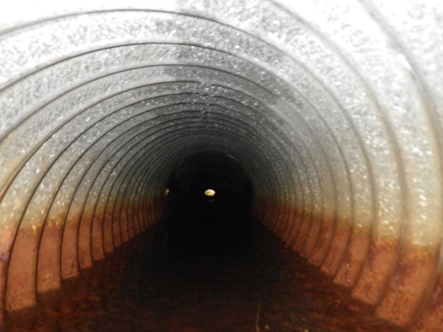
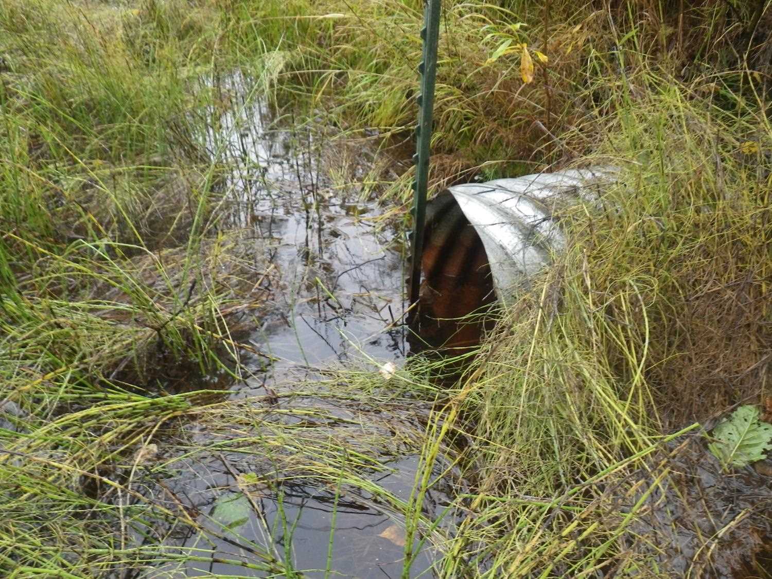
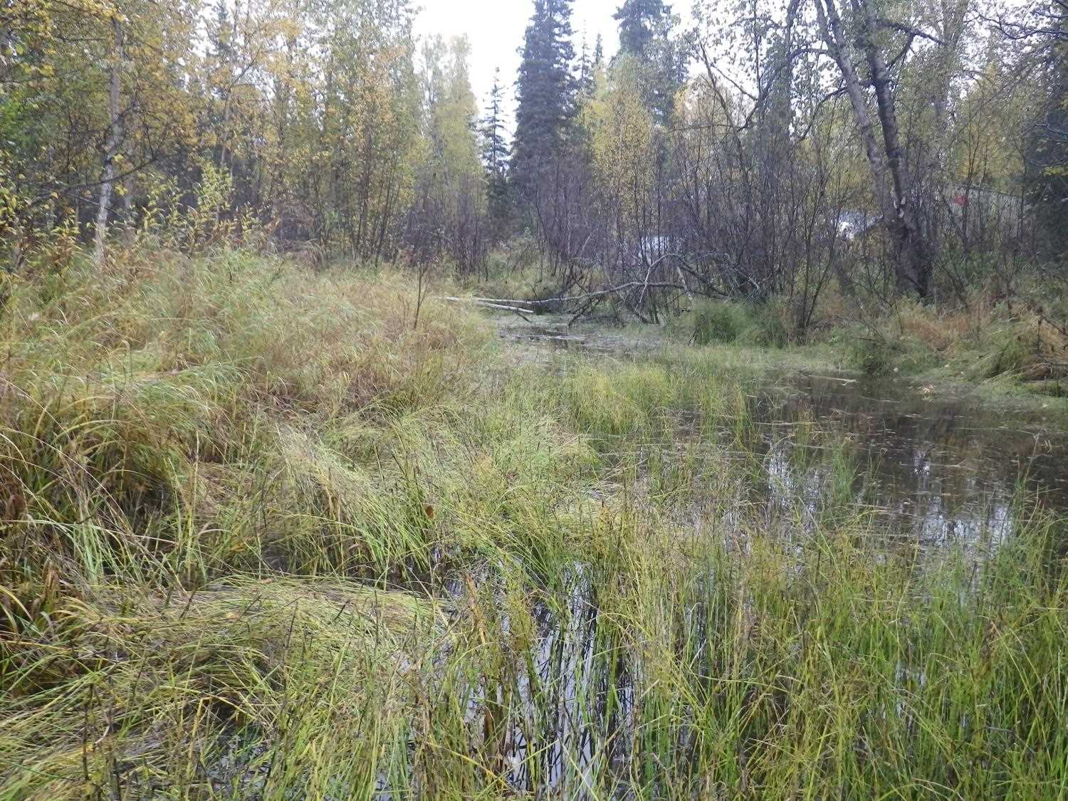
Comments: Bottom of culvert is fully rusted with small holes; no water in pipe - water starts 0.3' u/s and 21' d/s Updated site photos added from 9/16/16 site visit from Sampling Unmapped Streams in the MSB project. Fish sampling data entered into AFFI.
Culvert Measurements
| ID: 1 | Structure Type: Circular pipe (Corrugated steel) | Fish Passage Rating: | |||||||||||||||||||||||||||||||||||||||||
|
|
|
|||||||||||||||||||||||||||||||||||||||||
Comments: Culvert bottom is rusted with holes so no water is flowing through the pipe at a depth which could be measured. Only a minimal amount of water was observed upstream and no water was immediately downstream of outlet until 21' dwst. |
|||||||||||||||||||||||||||||||||||||||||||
Culvert Observations:
|
|||||||||||||||||||||||||||||||||||||||||||
Stream Measurements
|
|
No stream width data available.
Elevations
| Locator ID | Culvert Number |
River Distance (ft)1 |
Distance From Crossing (ft)2 |
Relative Elevation (ft) |
|---|---|---|---|---|
| D/S Water Surface Elev (slough WS) | 1 | 0.00 | 80.0 | 96.63 |
| D/S Water Surface Elev (slough WS) | 1 | 59.00 | 21.0 | 96.63 |
| D/S Thalweg (high pt before dry chan slopes into slough) | 1 | 62.00 | 18.0 | 97.14 |
| D/S Tailcrest or 1st Thalweg (if water were present) | 1 | 77.70 | 2.3 | 97.96 |
| D/S Thalweg (bottom of pool, if water were present) | 1 | 78.50 | 1.5 | 97.82 |
| Outlet Invert | 1 | 80.00 | 0.0 | 97.93 |
| Road Elev | 1 | 89.50 | 100.78 | |
| U/S Headwater (u/s is flat slough) | 1 | 99.80 | 98.41 | |
| Inlet Culvert Invert | 1 | 99.80 | 0.0 | 98.46 |
Notes:
- River distance is measured continuously throughout the survey reach along the thalweg of the stream.
- Measured from each end of the crossing along the thalweg of the stream.
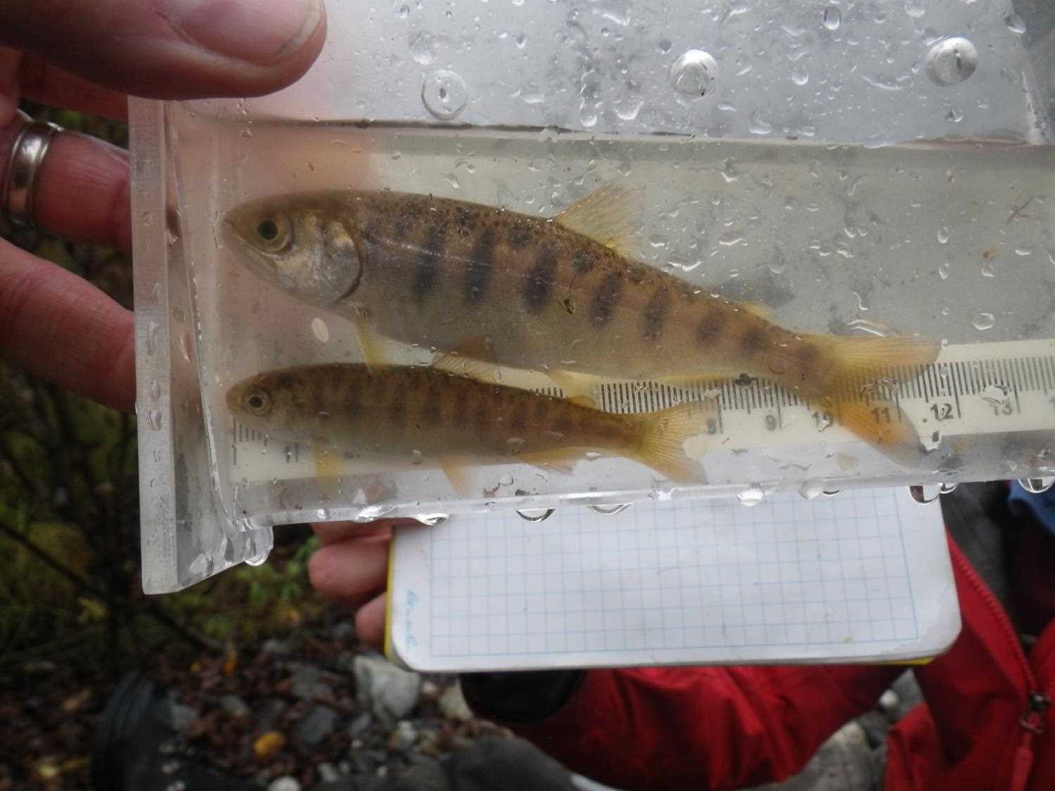
Fish Sampling Efforts
| Gear Type: Minnow Trap (A) | Trap Duration(h): 1.0 | |
| Comments: no fish caught; 30ft u/s | ||
| Gear Type: Minnow Trap (B) | Trap Duration(h): 1.0 | |
| Comments: no fish caught; 50ft d/s | ||
Fish Observations
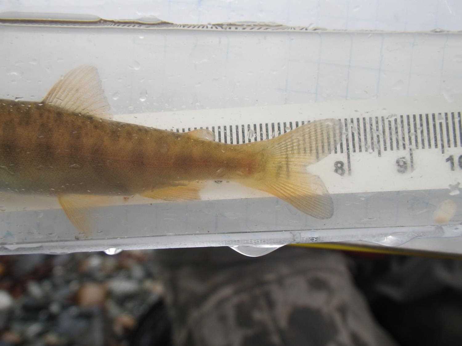
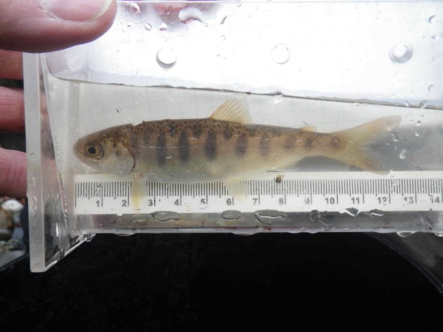
No fish observations occurred during this survey.
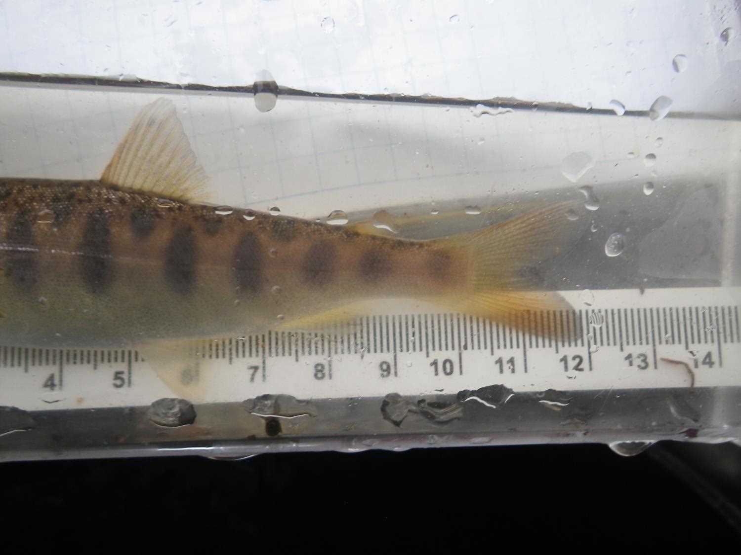
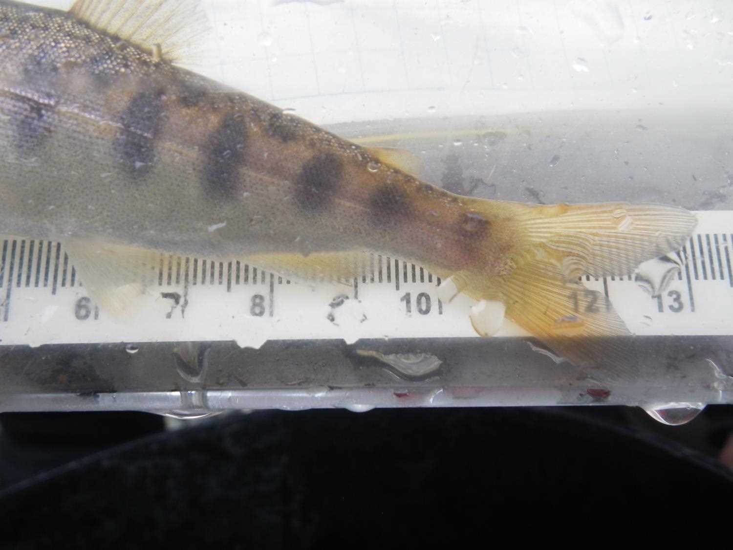
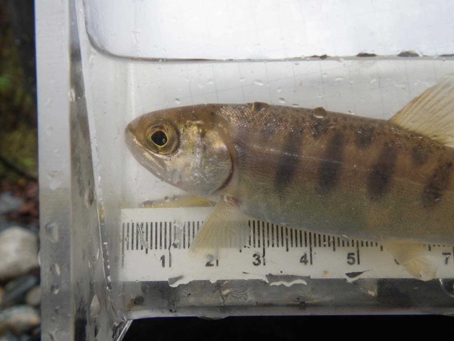
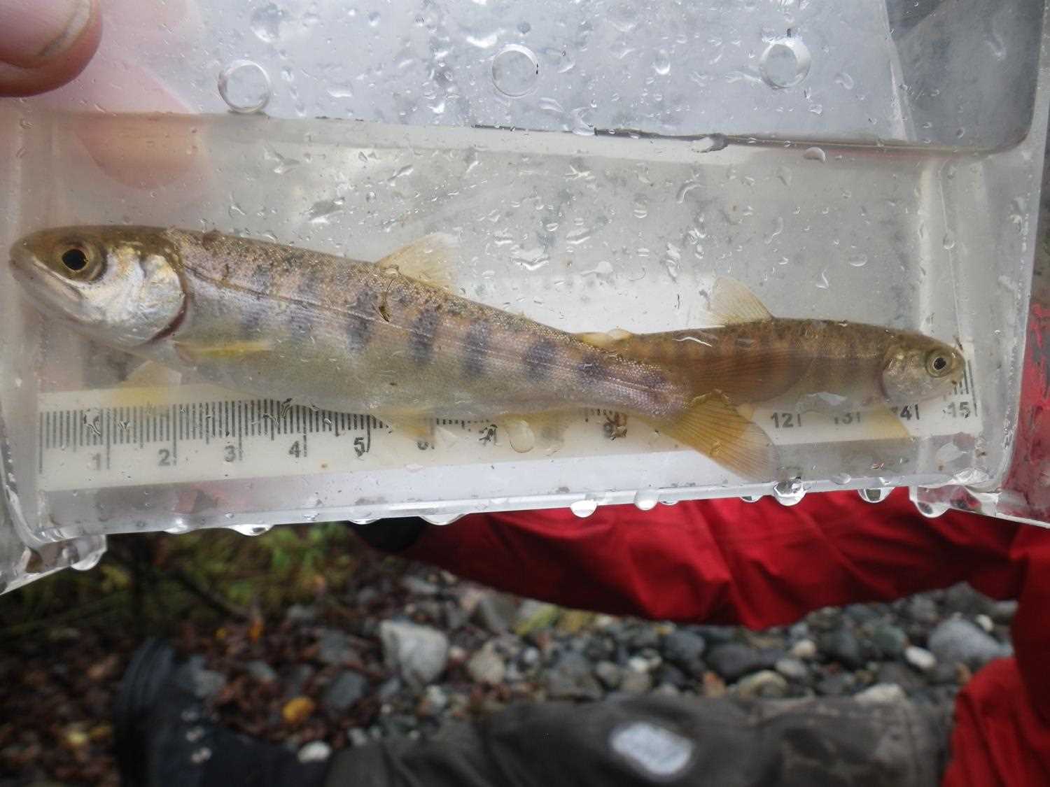
Photos

Questions or comments about this report can be directed to dfg.dsf.webmaster@alaska.gov