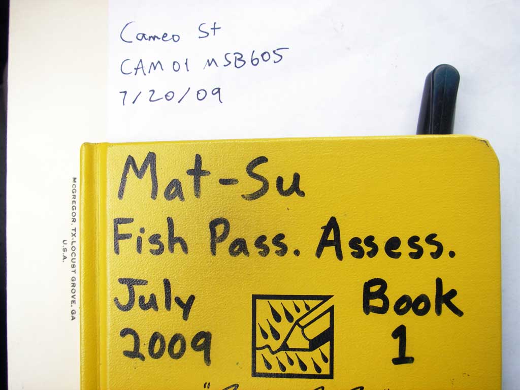
Fish Passage Site 20501173
Coordinates (dec. deg.): 61.42235°, -149.91904°
Legal Description: S015N004W01
Region: South Central
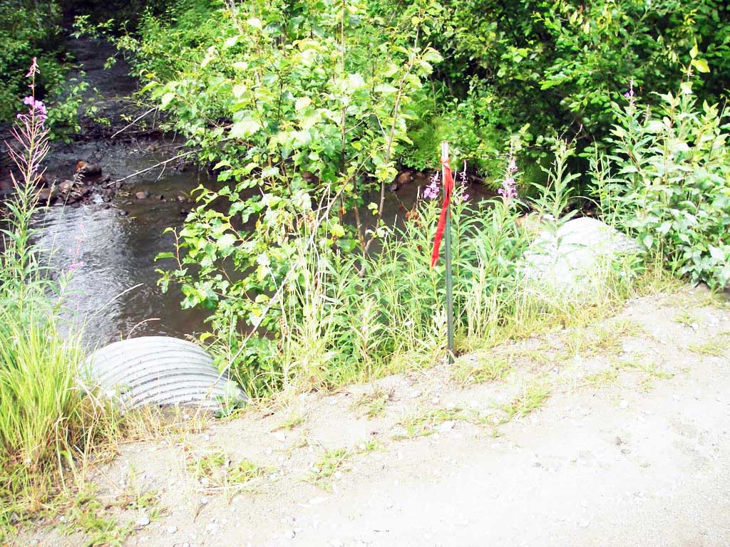
Road Name: Cameo Road
Datum: WGS84
Quad Name / ITM: Anchorage B-8
AWC Stream #:
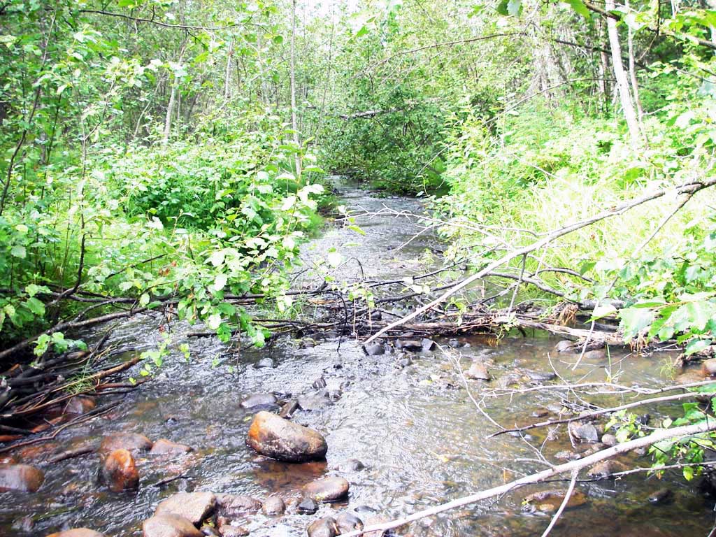
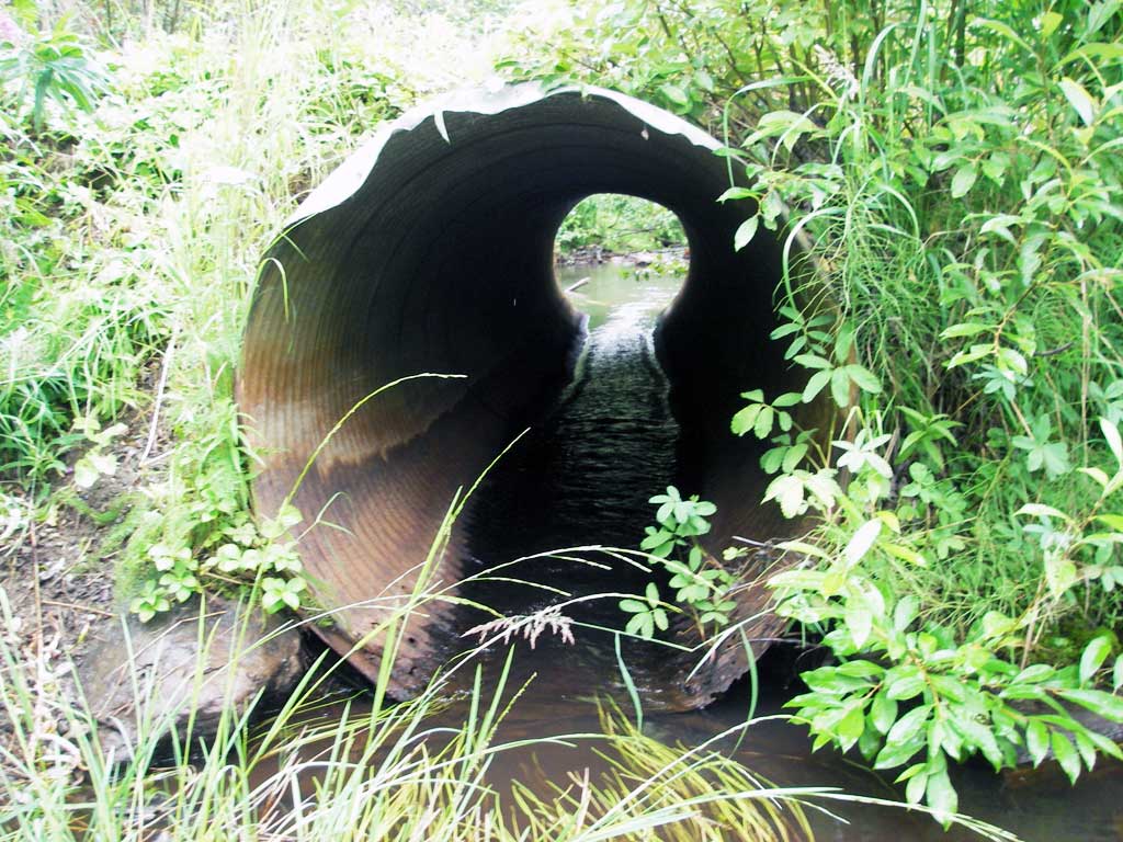
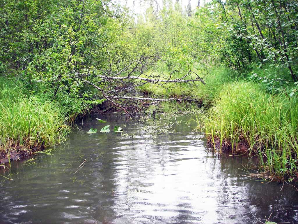
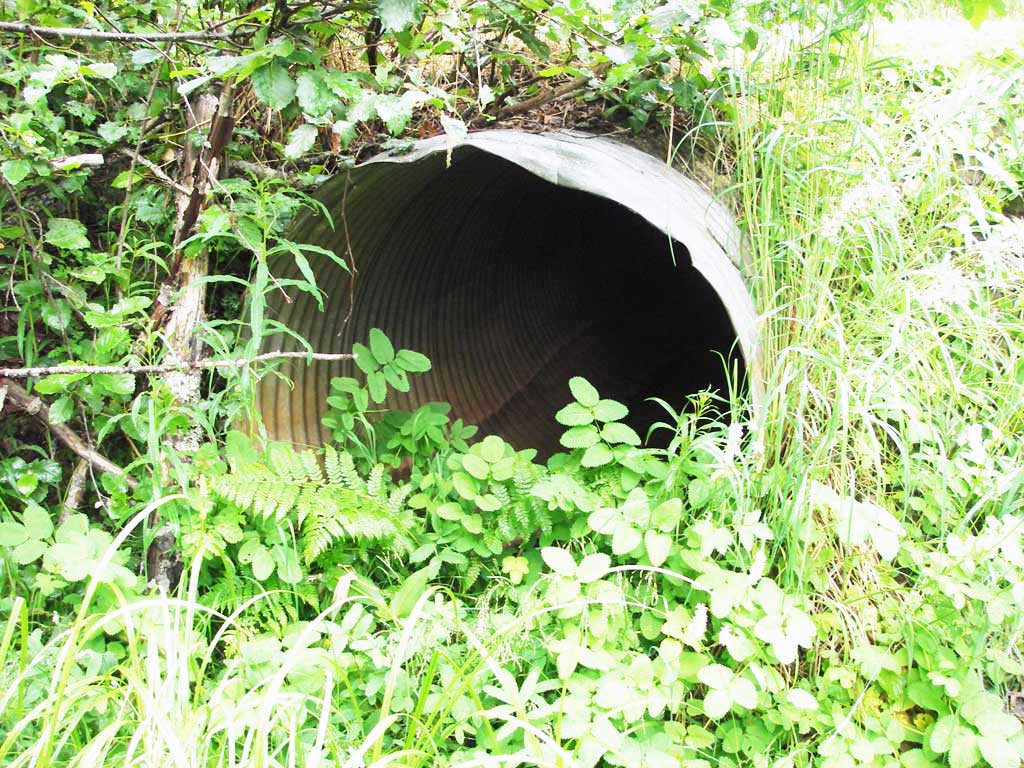
Stream Name: Goose Creek
Elevation:
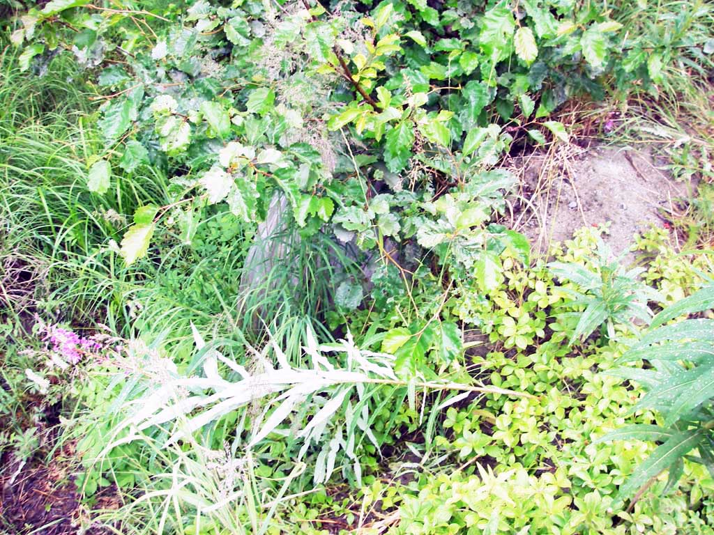
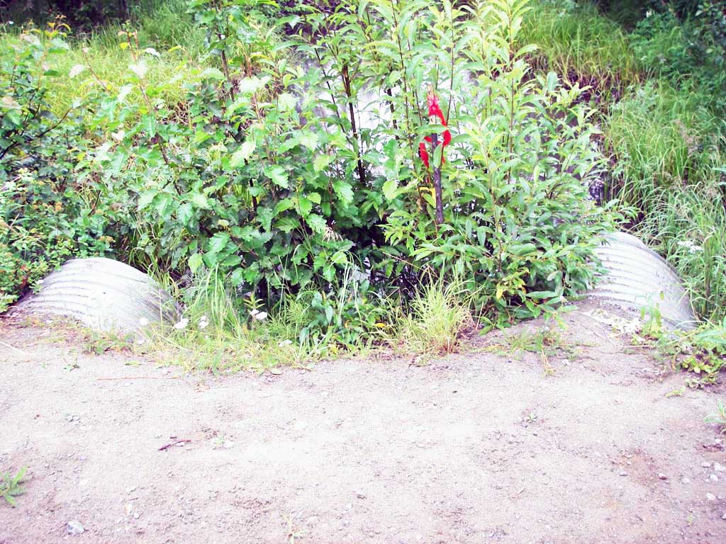
Site Comments: Approach from north!
arrow to the right of the survey date below to choose a different report for this site.
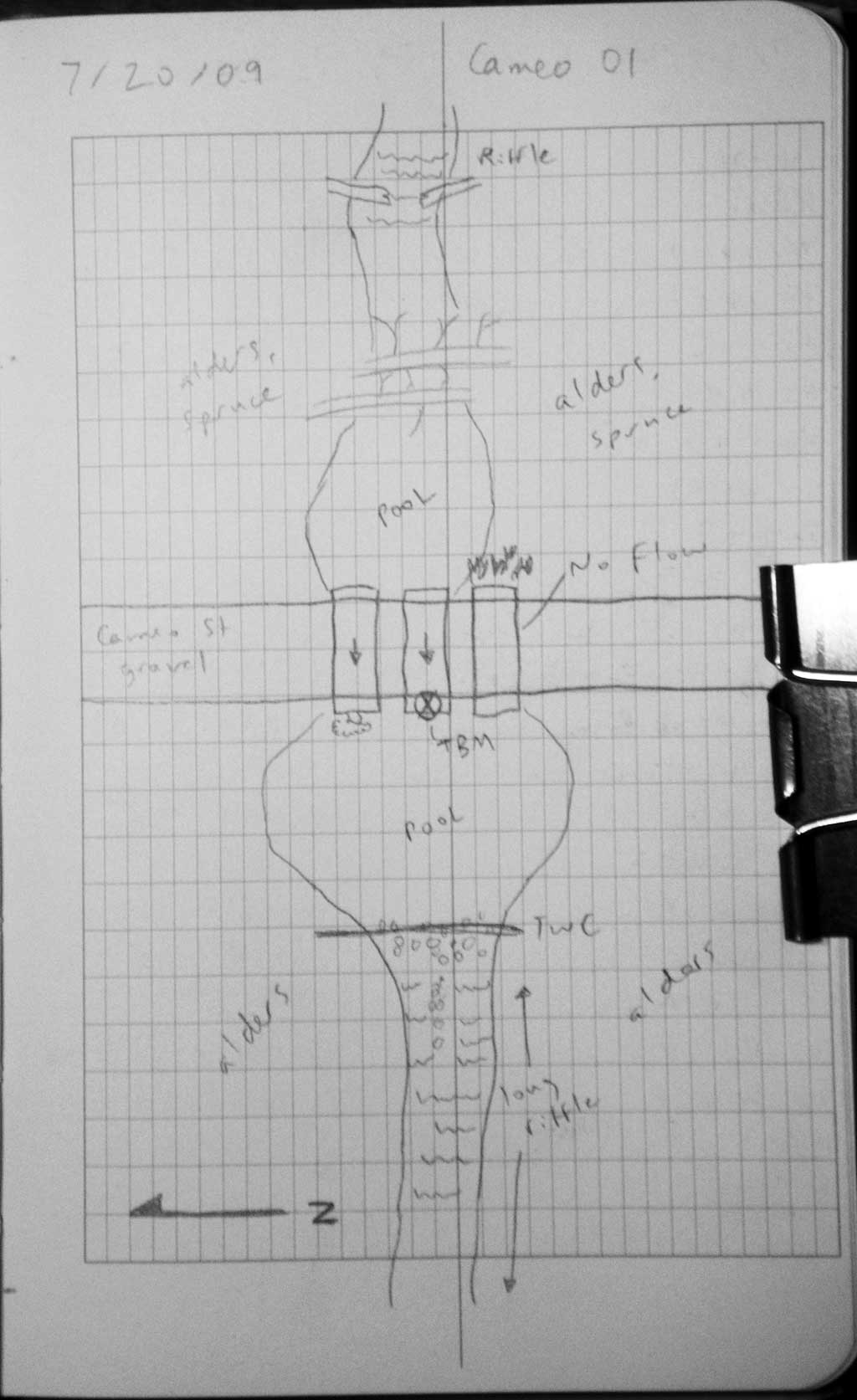
Survey MSB09-CAM01
Project Supervisor: Gillian O'Doherty, ADFG
Observers: Heidi Zimmer, Ben Histand
Overall Fish Passage Rating:
Tidal: No
Backwatered: No
Step Pools: No
Construction Year:
Site Observations:
- Outfall height gray
- Culvert gradient red
- Constriction ratio gray
- Compound gradient in pipe
- Shallow fill; inadequate roadfill volume above culvert
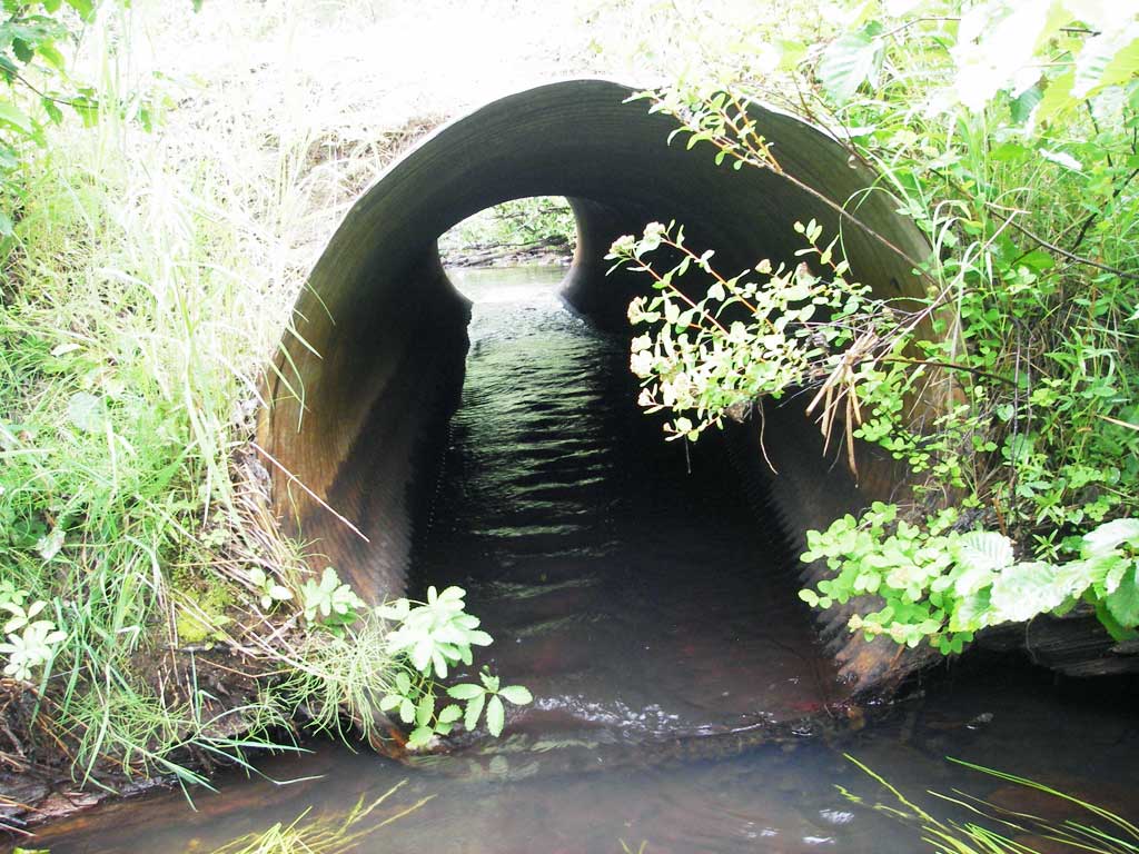
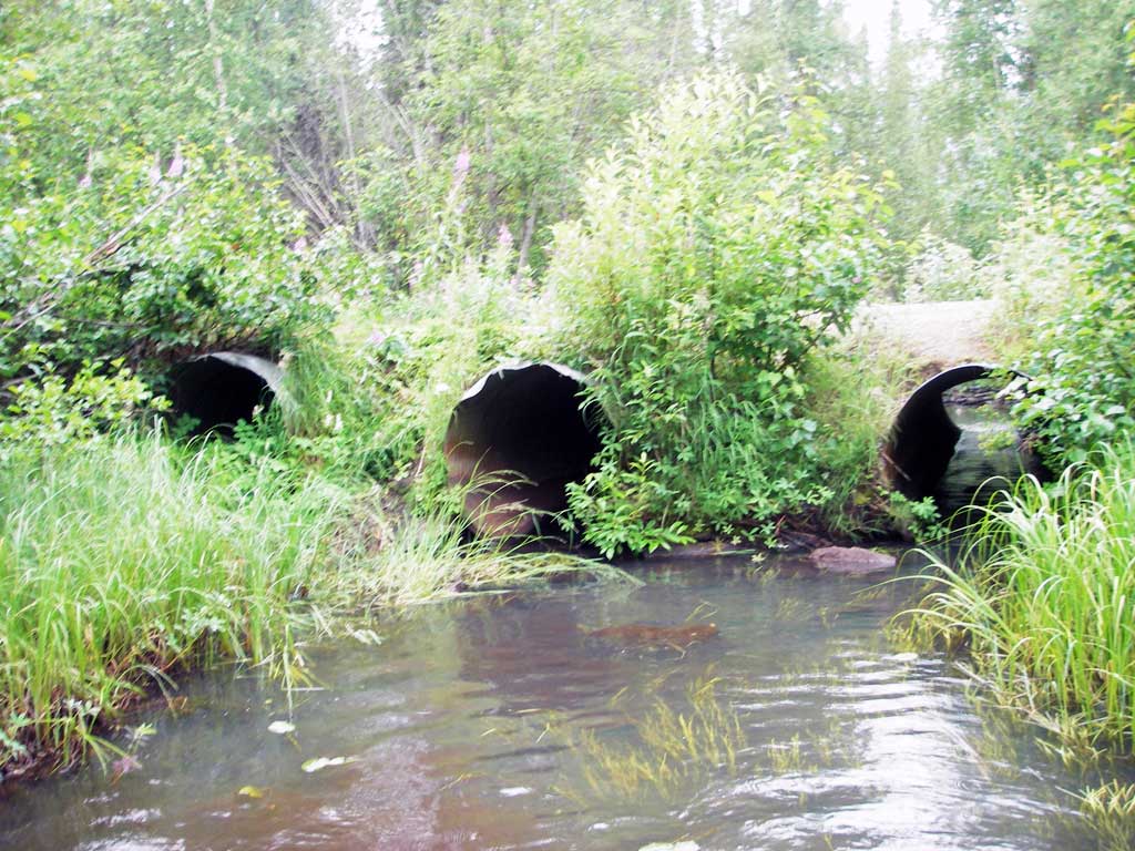
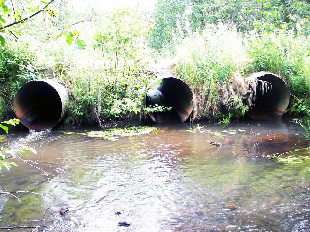
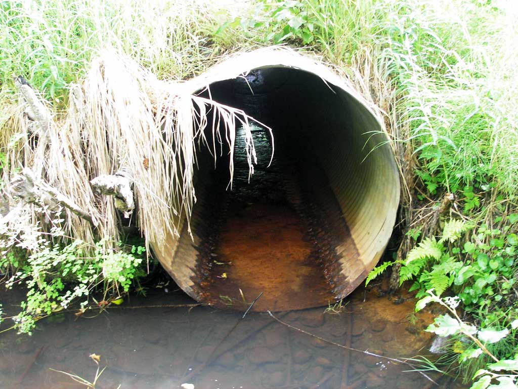
Comments: Pipe overgrown at inlet; no water flowing in pipe 1; gradient is pipe only - subs not considered. CR w/o dry pipe #1 = 0.58
Culvert Measurements
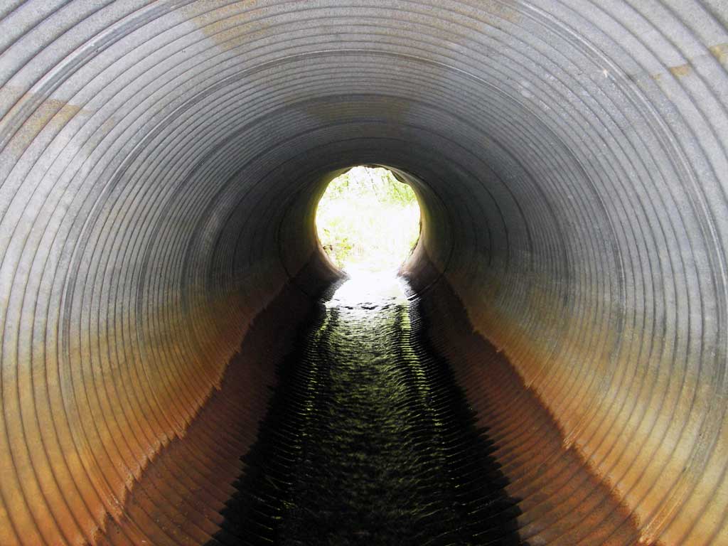
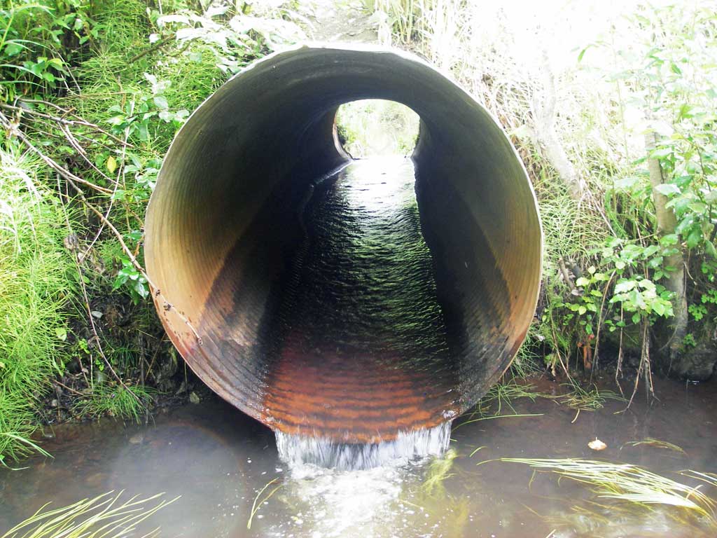
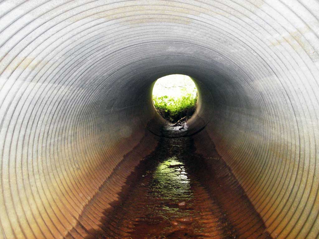
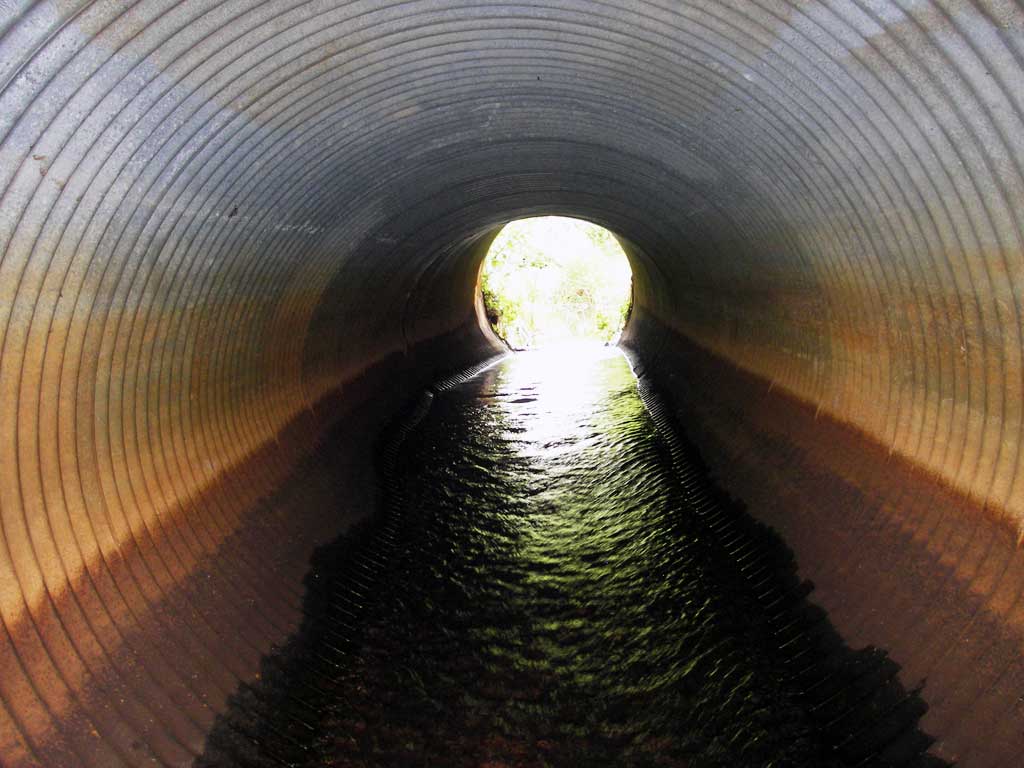
| ID: 1 | Structure Type: Circular pipe (Corrugated steel) | Fish Passage Rating: | |||||||||||||||||||||||||||||||||||||||||
|
|
|
|||||||||||||||||||||||||||||||||||||||||
Comments: No water flowing in pipe 1 |
|||||||||||||||||||||||||||||||||||||||||||
Culvert Observations:
|
|||||||||||||||||||||||||||||||||||||||||||
| ID: 2 | Structure Type: Circular pipe (Corrugated steel) | Fish Passage Rating: | |||||||||||||||||||||||||||||||||||||||||
|
|
|
|||||||||||||||||||||||||||||||||||||||||
Culvert Observations:
|
|||||||||||||||||||||||||||||||||||||||||||
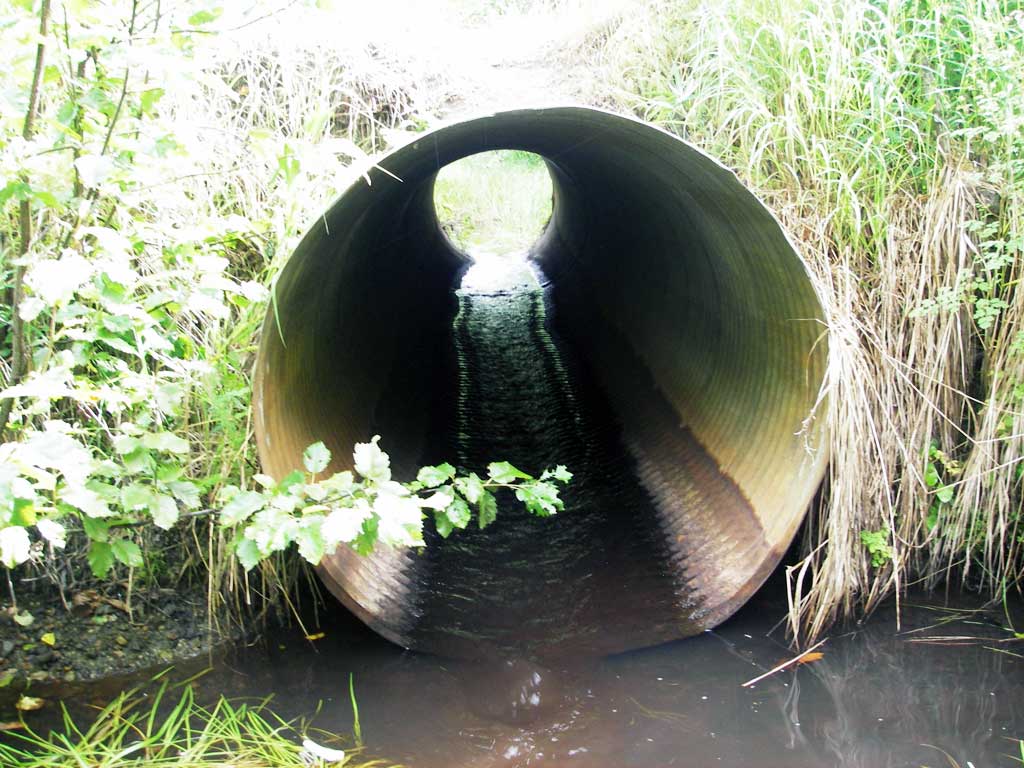
| ID: 3 | Structure Type: Circular pipe (Corrugated steel) | Fish Passage Rating: | |||||||||||||||||||||||||||||||||||||||||
|
|
|
|||||||||||||||||||||||||||||||||||||||||
Comments: pipe is gray, but max slope prob greater than measured slope - WS gradient = 1.59% |
|||||||||||||||||||||||||||||||||||||||||||
Culvert Observations:
|
|||||||||||||||||||||||||||||||||||||||||||
Stream Measurements
|
|
| Stream Width Type | Distance From Crossing (ft) |
Stream Width (ft) |
|---|---|---|
| Upstream ordinary high water | 70.0 | 11.00 |
| Upstream ordinary high water | 125.0 | 9.00 |
| Upstream ordinary high water | 155.0 | 8.00 |
Elevations
| Locator ID | Culvert Number |
River Distance (ft)1 |
Distance From Crossing (ft)2 |
Relative Elevation (ft) |
|---|---|---|---|---|
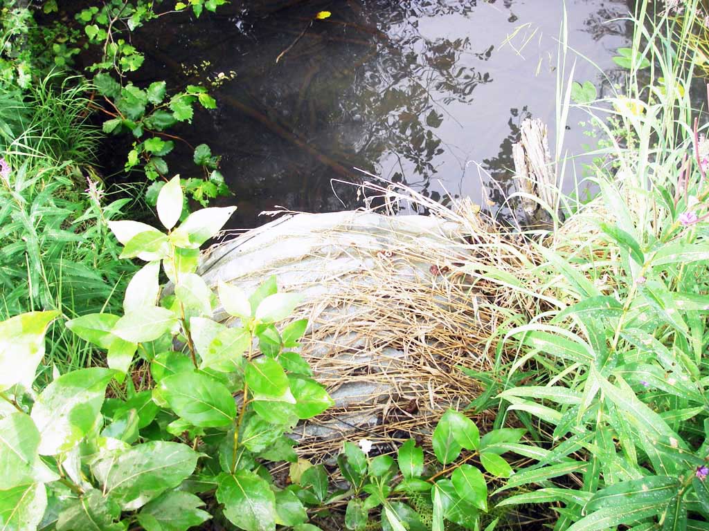
| D/S Grade Ctrl (Thalweg) | 0.00 | 106.0 | 94.71 | |
| D/S Water Surface Elev | 0.00 | 106.0 | 94.94 | |
| D/S Tailcrest or 1st Thalweg | 81.00 | 25.0 | 95.87 | |
| D/S Water Surface Elev | 81.00 | 25.0 | 96.26 | |
| D/S Thalweg (bottom of plunge pool pipe 2) | 2 | 100.00 | 6.0 | 94.18 |
| D/S Thalweg (bottom of plunge pool pipe 3) | 3 | 101.00 | 5.0 | 94.16 |
| D/S Thalweg | 1 | 101.00 | 5.0 | 95.01 |
| D/S Thalweg (stream bed end of pipe) | 3 | 106.00 | 0.0 | 95.36 |
| Outlet Invert | 1 | 106.00 | 0.0 | 95.91 |
| Outlet Invert | 2 | 106.00 | 0.0 | 95.99 |
| Outlet Invert | 3 | 106.00 | 0.0 | 96.22 |
| Outlet Pool Water Elev | 1 | 106.00 | 96.28 | |
| Outlet Pool Water Elev | 2 | 106.00 | 96.28 | |
| Outlet Pool Water Elev | 3 | 106.00 | 96.28 | |
| Road Elev | 121.00 | 101.63 | ||
| Inlet Culvert Invert (pool immed u/s) | 3 | 136.00 | 0.0 | 96.41 |
| Inlet Culvert Invert | 2 | 136.00 | 0.0 | 96.79 |
| U/S Headwater | 3 | 136.00 | 97.00 | |
| U/S Headwater | 2 | 136.00 | 97.01 | |
| Inlet Culvert Invert (on substrate (dirt) - no flow) | 1 | 136.00 | 0.0 | 97.89 |
Notes:
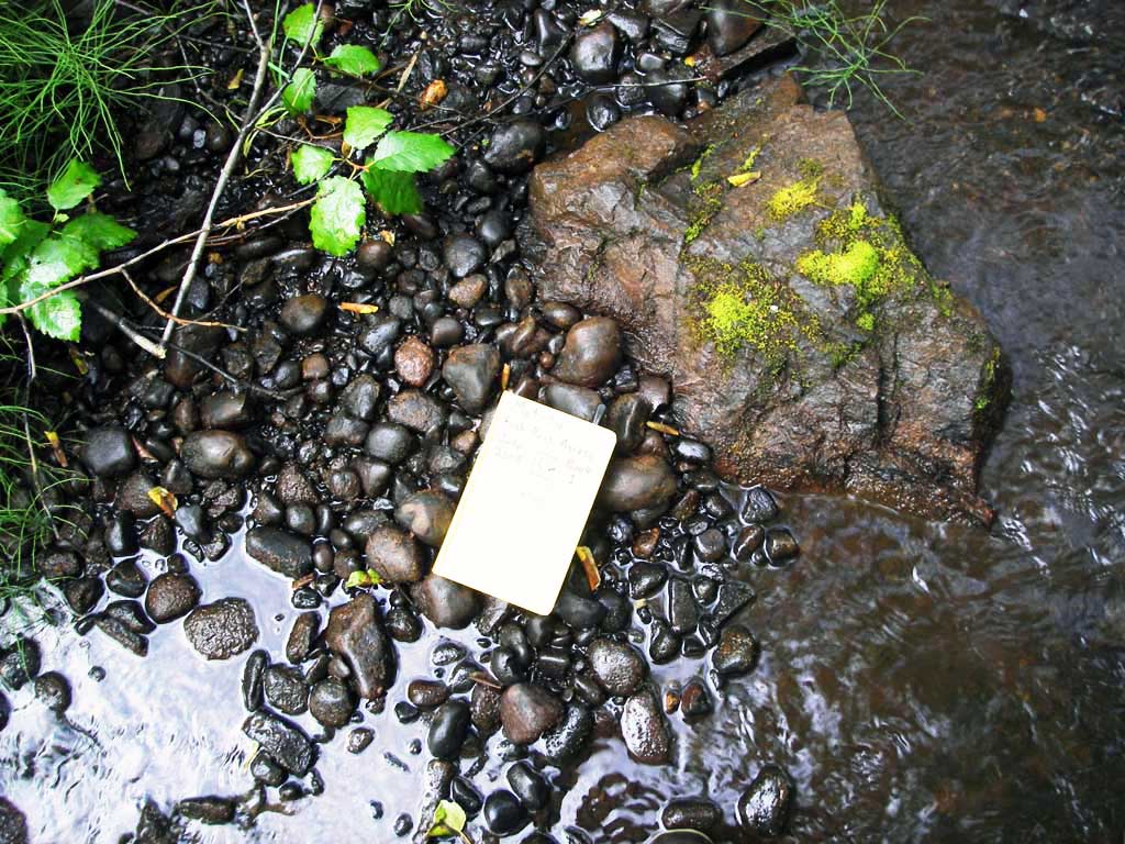
- River distance is measured continuously throughout the survey reach along the thalweg of the stream.
- Measured from each end of the crossing along the thalweg of the stream.
Fish Sampling Efforts
No fish sampling occurred during this survey.
Fish Observations
No fish observations occurred during this survey.
Photos

Questions or comments about this report can be directed to dfg.dsf.webmaster@alaska.gov