Fish Passage Site 20501165
Coordinates (dec. deg.): 61.65770°, -149.93669°
Legal Description: S018N004W11
Region: South Central
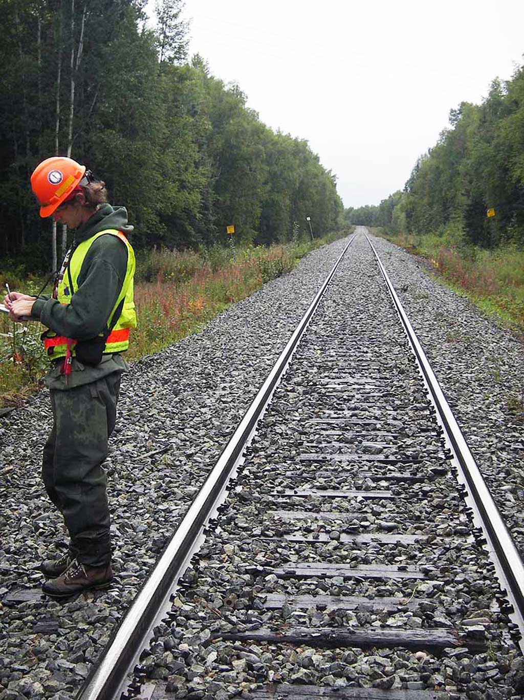
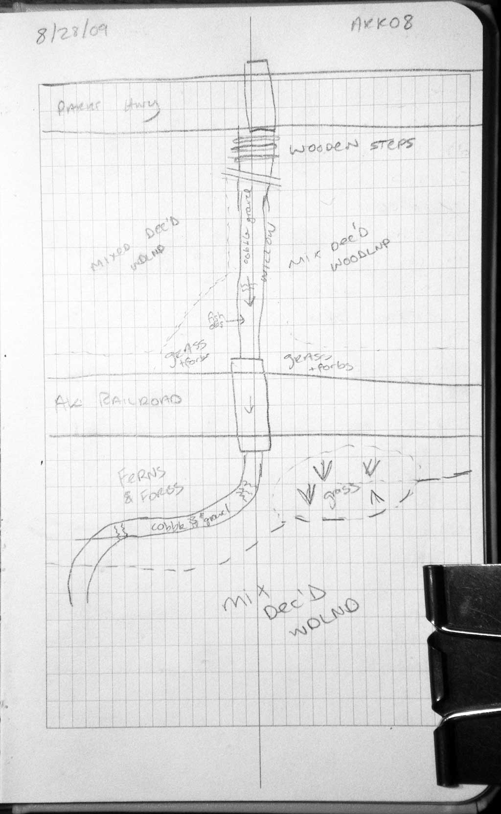
Road Name: Alaska Railroad
Datum: WGS84
Quad Name / ITM: Anchorage C-8
AWC Stream #:
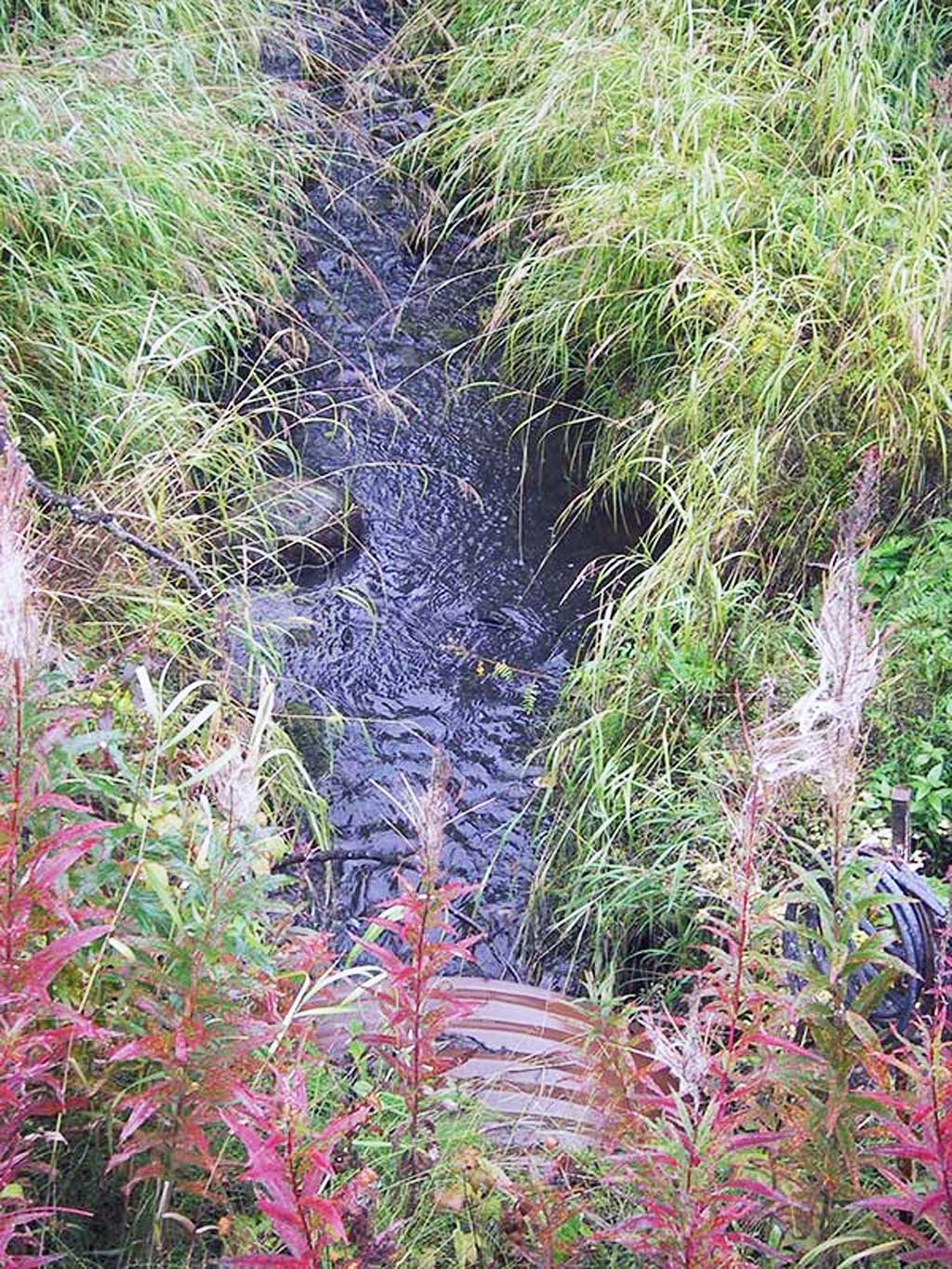
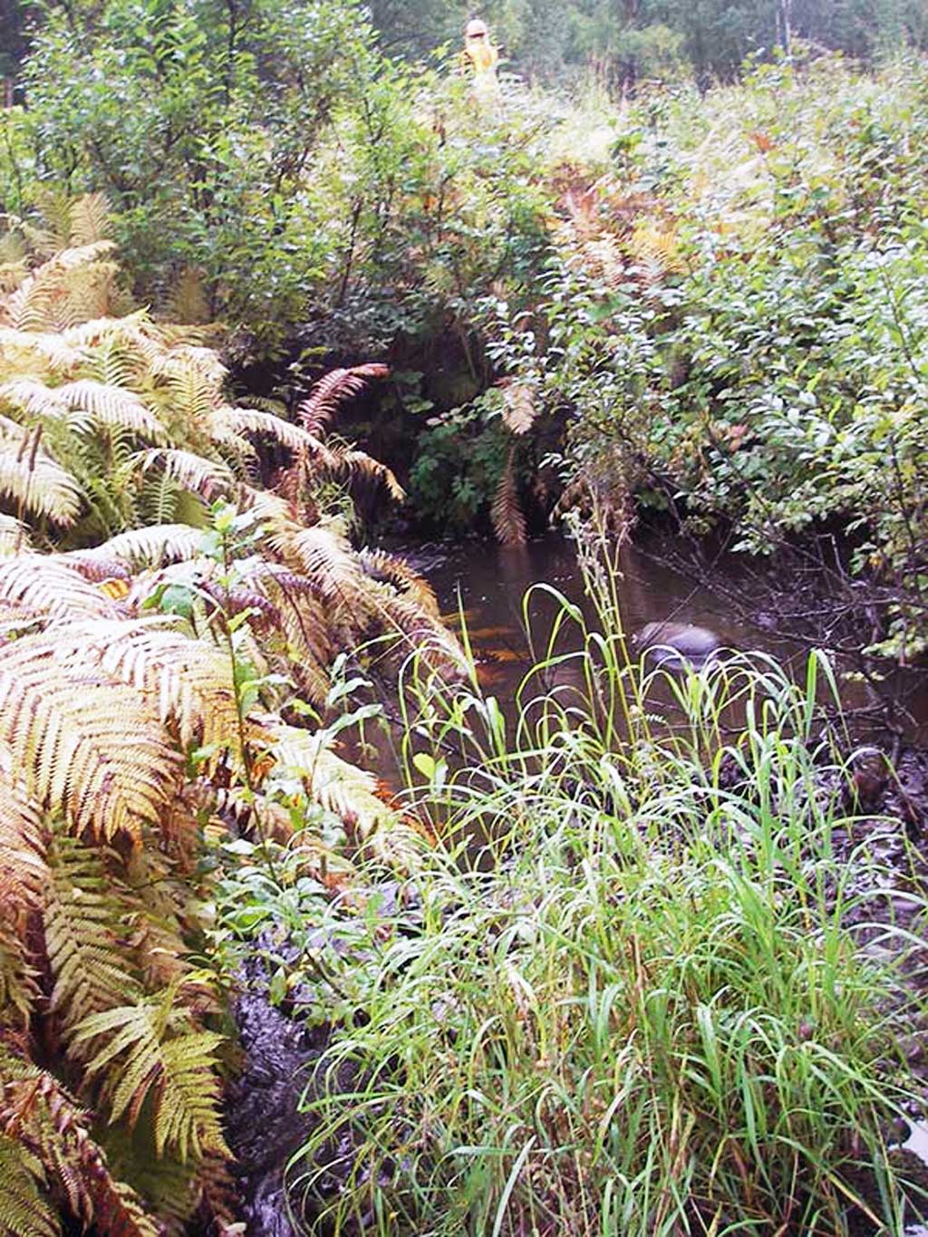
Stream Name: Lake Creek tributary
Elevation:
Site Comments: Trib to Lake Ck, TMP 178.5
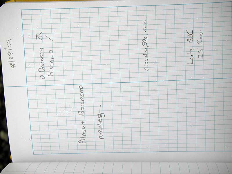
Survey MSB09-ARR08
Project Supervisor: Gillian O'Doherty, ADFG
Observers: Gillian O'Doherty, Ben Histand
Overall Fish Passage Rating:
Tidal: No
Backwatered: No
Step Pools:
Construction Year:
Site Observations:
- Culvert gradient red
- Outfall height red
- Constriction ratio gray
Comments: None
Culvert Measurements
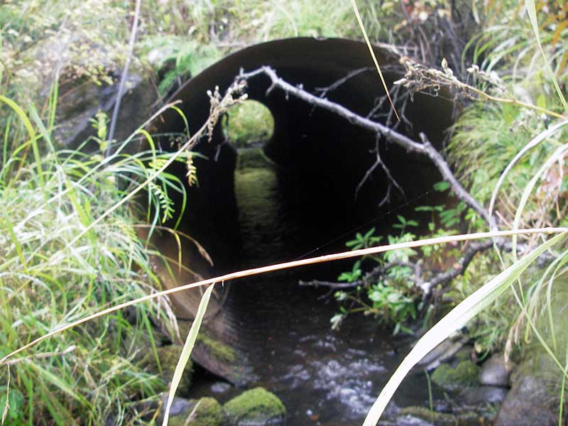
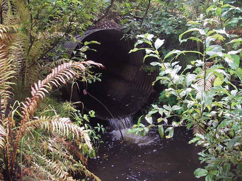
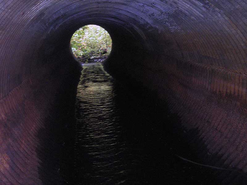
| ID: 1 | Structure Type: Circular pipe (Corrugated steel) | Fish Passage Rating: | |||||||||||||||||||||||||||||||||||||||||
|
|
|
|||||||||||||||||||||||||||||||||||||||||
Culvert Observations:
|
|||||||||||||||||||||||||||||||||||||||||||
Stream Measurements
|
|
| Stream Width Type | Distance From Crossing (ft) |
Stream Width (ft) |
|---|---|---|
| Upstream ordinary high water | 50.0 | 5.50 |
| Upstream ordinary high water | 125.0 | 6.50 |
| Upstream ordinary high water | 170.0 | 10.50 |
Elevations
| Locator ID | Culvert Number |
River Distance (ft)1 |
Distance From Crossing (ft)2 |
Relative Elevation (ft) |
|---|---|---|---|---|
| Outlet Pool Water Elev | 1 | 95.26 | ||
| U/S Headwater | 1 | 96.48 | ||
| D/S Grade Ctrl (Thalweg) | 1 | 0.00 | 34.0 | 94.53 |
| D/S Water Surface Elev (@GP) | 1 | 0.00 | 34.0 | 94.72 |
| D/S Tailcrest or 1st Thalweg | 1 | 19.00 | 15.0 | 95.12 |
| D/S Water Surface Elev (@TWC) | 1 | 19.00 | 15.0 | 95.26 |
| D/S Thalweg (outlet pool bottom) | 1 | 30.00 | 4.0 | 93.72 |
| D/S Thalweg | 1 | 34.00 | 0.0 | 95.06 |
| Outlet Invert | 1 | 34.00 | 0.0 | 95.59 |
| Road Elev | 1 | 56.00 | 105.68 | |
| Inlet Culvert Invert | 1 | 78.70 | 0.0 | 96.17 |
| U/S Grade Ctrl (Thalweg) | 1 | 83.70 | 5.0 | 96.45 |
| U/S Water Surface Elev (@GP) | 1 | 83.70 | 5.0 | 96.67 |
Notes:
- River distance is measured continuously throughout the survey reach along the thalweg of the stream.
- Measured from each end of the crossing along the thalweg of the stream.
Fish Sampling Efforts
| Gear Type: Minnow Trap (A) | ||
| Comments: 70ft u/s; no set length recorded | ||
| Gear Type: Minnow Trap (B) | ||
| Comments: 100ft d/s; no set length recorded | ||
Fish Observations
| Species: juvenile Dolly Varden | Life History: Not Recorded | ||
| Total Fish Observed: 2 | Fish Measured: 2 | Fork Lengths (mm) Min: 47 Max: 52 Mean: 49 | |
| Collected/Observed by Gear Type: Upstream Minnow Trap (2) | |||
| Species: juvenile coho salmon | Life History: Not Recorded | ||
| Total Fish Observed: 4 | Fish Measured: 4 | Fork Lengths (mm) Min: 51 Max: 60 Mean: 55 | |
| Collected/Observed by Gear Type: Downstream Minnow Trap (1) Upstream Minnow Trap (3) | |||
| Species: slimy sculpin | Life History: Not Recorded | ||
| Total Fish Observed: 1 | Fish Measured: 1 | Fork Lengths (mm) Min: 83 Max: 83 Mean: 83 | |
| Collected/Observed by Gear Type: Downstream Minnow Trap (1) | |||
| Species: ninespine stickleback | Life History: Not Recorded | ||
| Total Fish Observed: 3 | Fish Measured: | Fork Lengths (mm) Min: Max: Mean: | |
| Collected/Observed by Gear Type: Downstream Minnow Trap (3) | |||
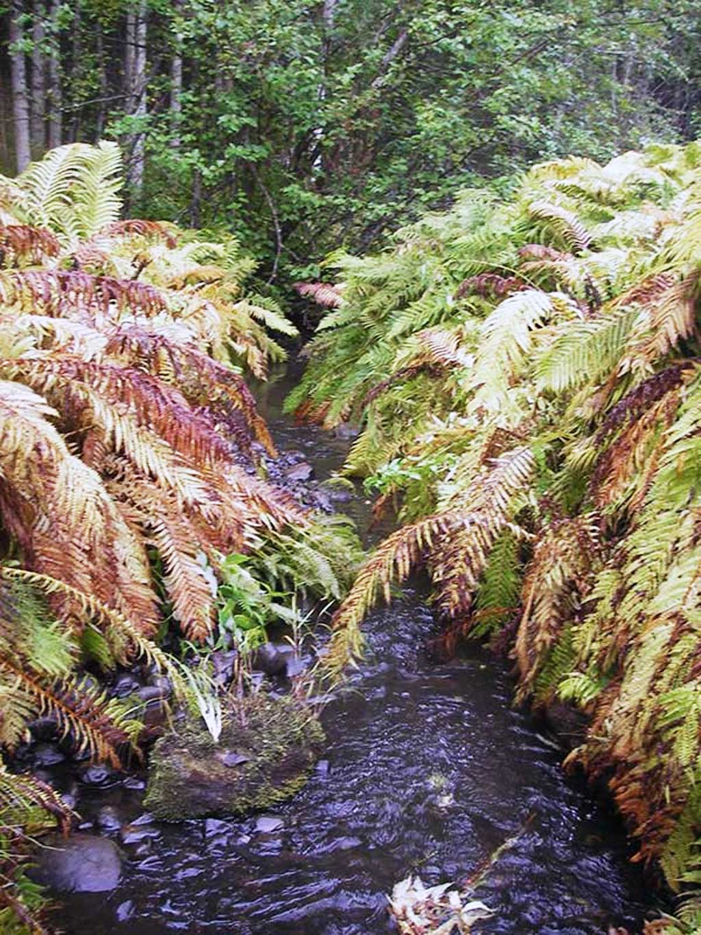
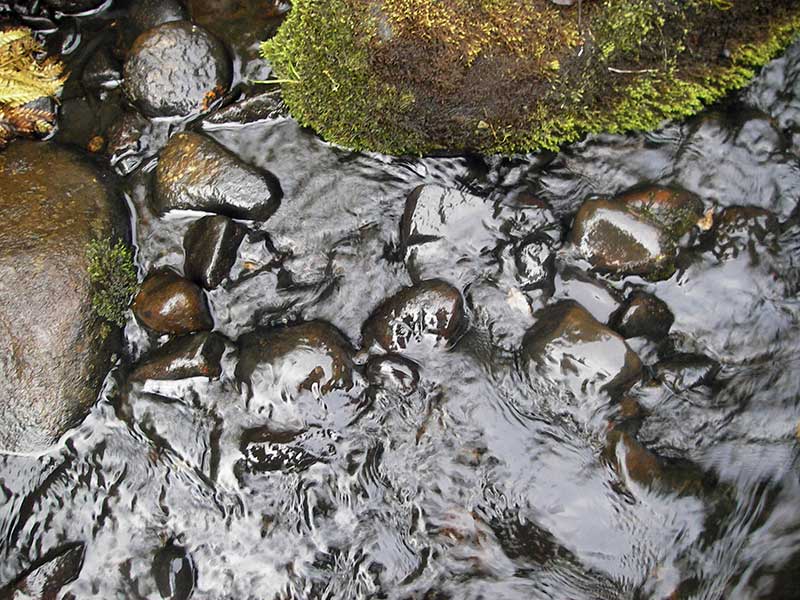
Photos
Questions or comments about this report can be directed to dfg.dsf.webmaster@alaska.gov