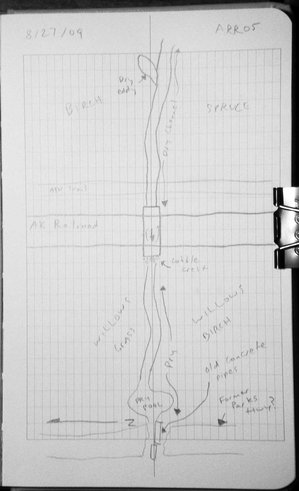
Fish Passage Site 20501162
Coordinates (dec. deg.): 61.59507°, -149.75616°
Legal Description: S017N003W02
Region: South Central
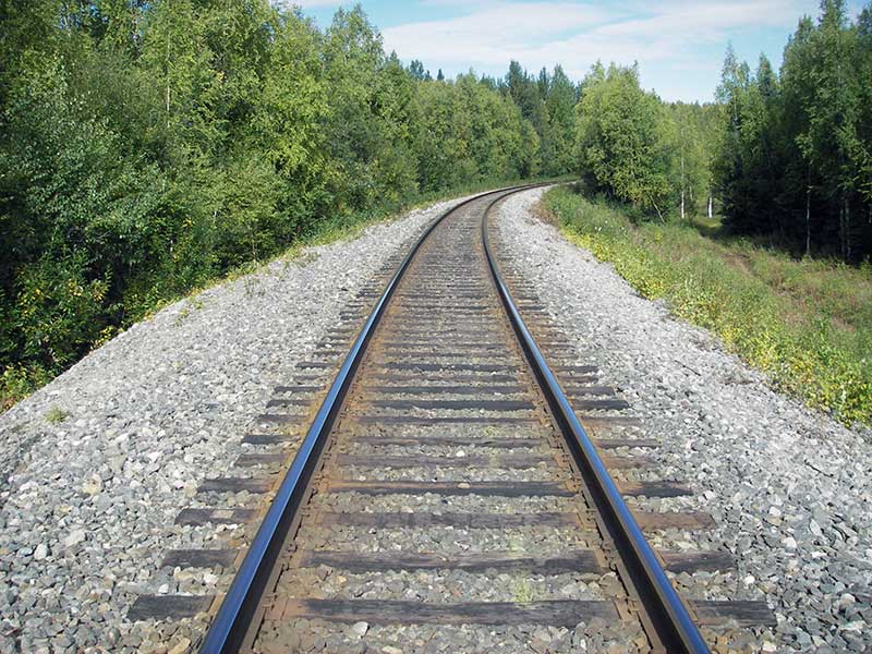
Road Name: Alaska Railroad
Datum: WGS84
Quad Name / ITM: Anchorage C-8
AWC Stream #:
Stream Name: Unnamed
Elevation:
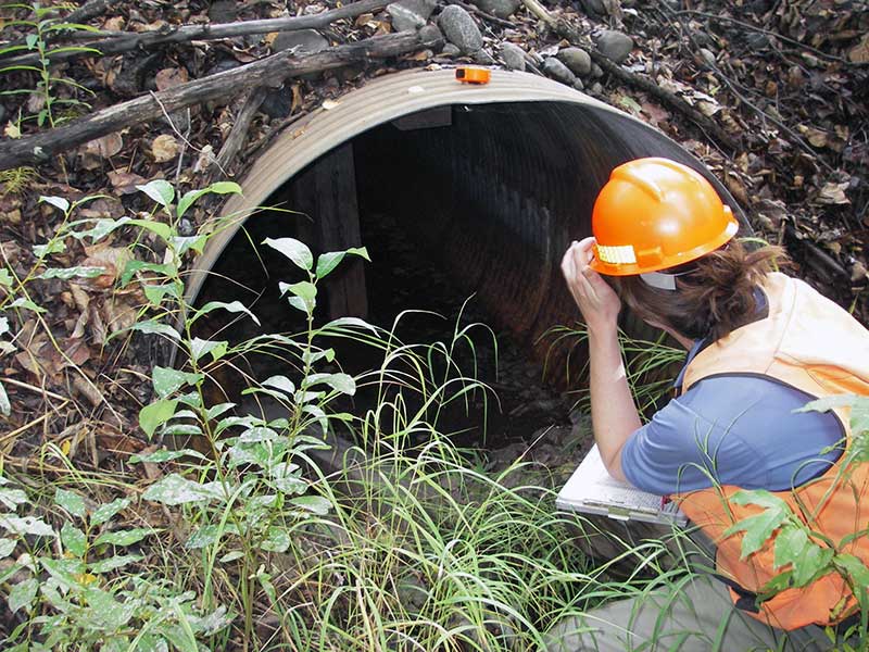
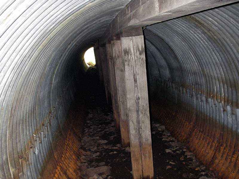
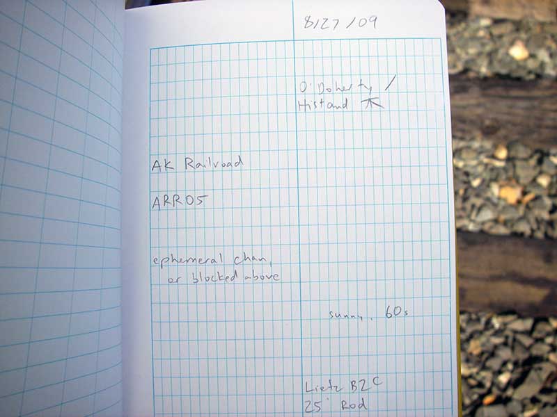
Site Comments: AKRR MP 170.55
Survey MSB09-ARR05
Project Supervisor: Gillian O'Doherty, ADFG
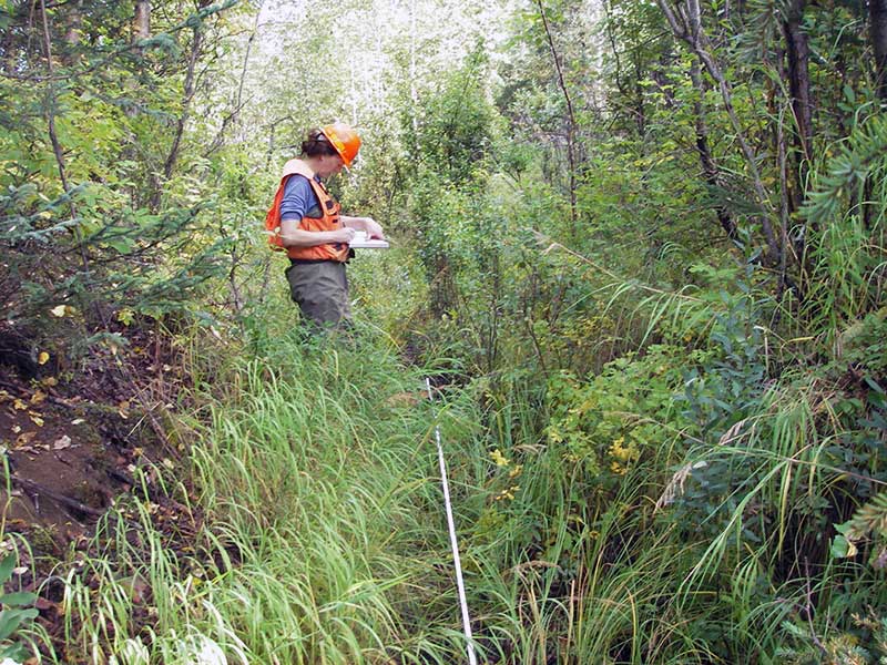
Observers: Gillian O'Doherty, Ben Histand
Overall Fish Passage Rating:
Tidal: No
Backwatered: No
Step Pools: No
Construction Year:
Site Observations:
- Culvert gradient gray
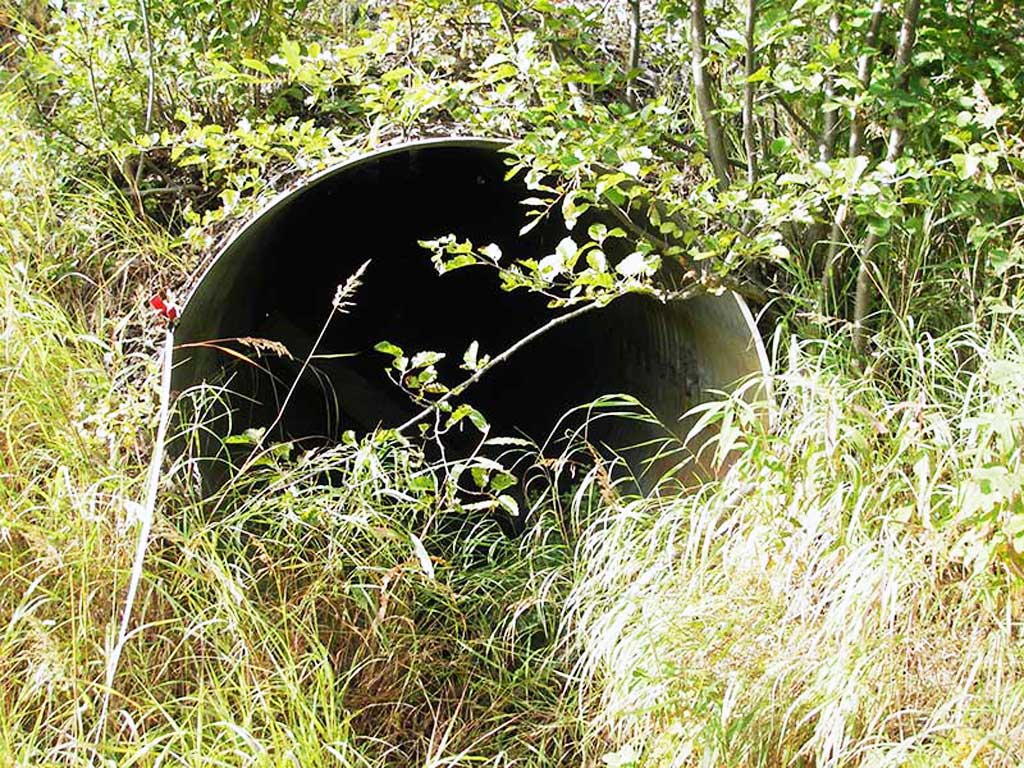
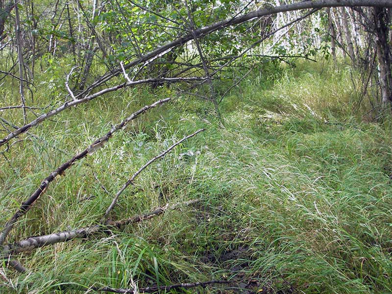
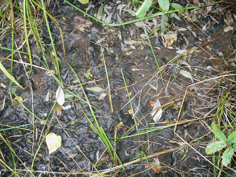
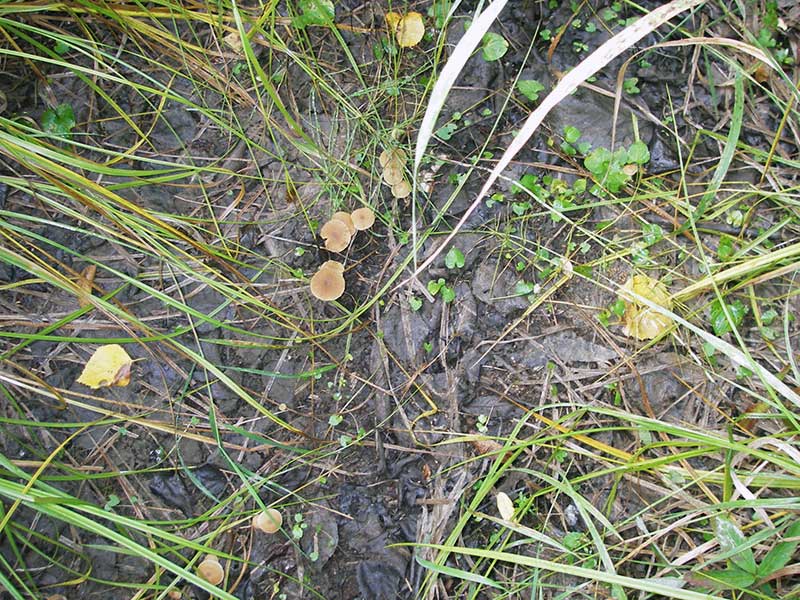
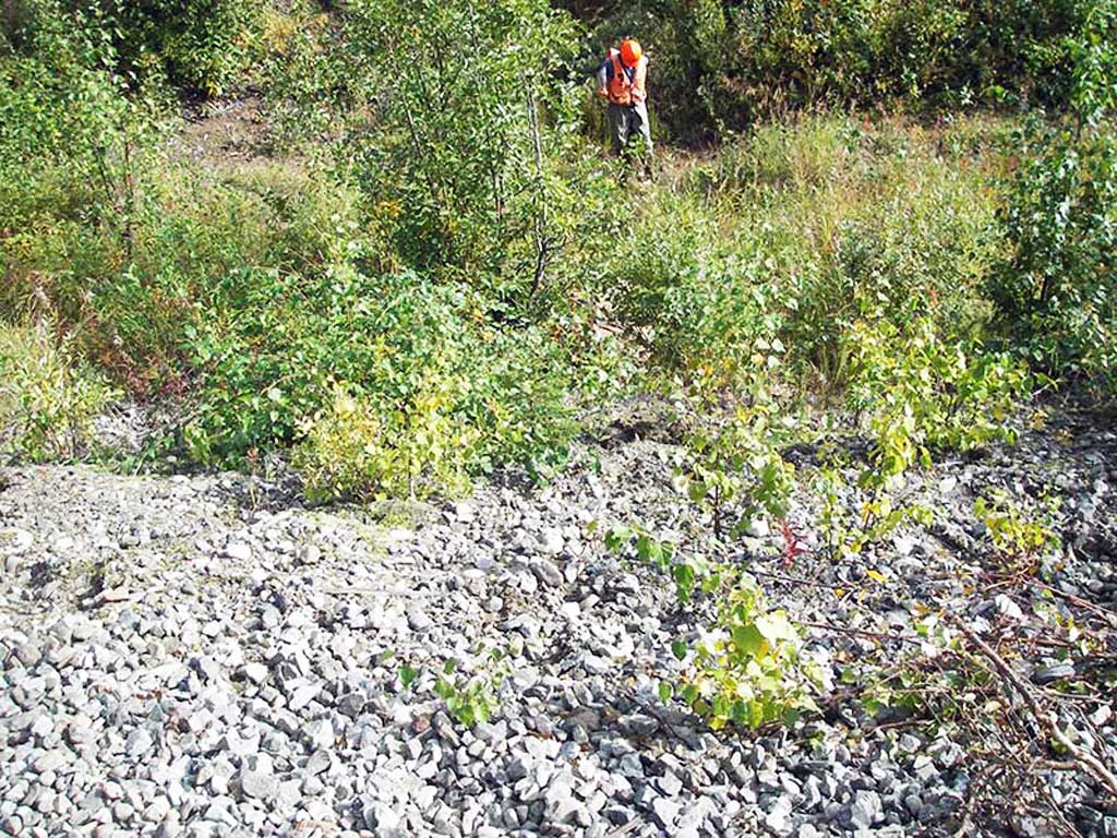
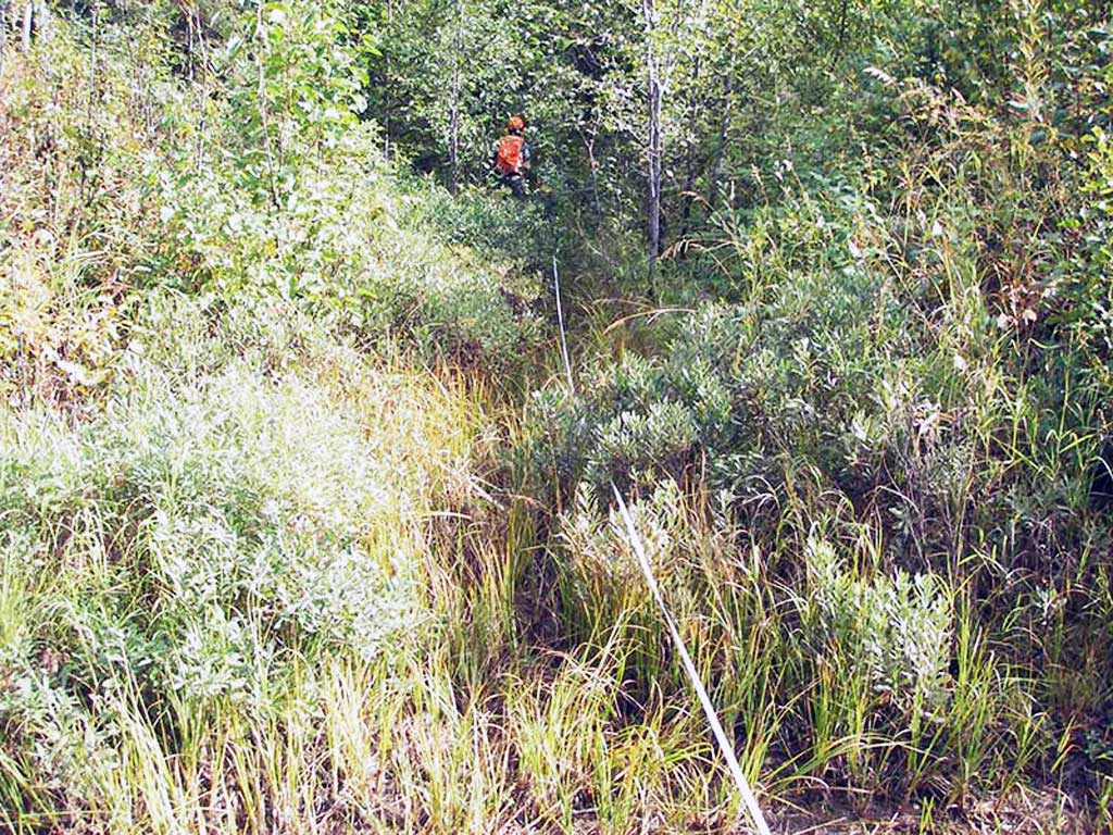
Comments: Stream dry, but well-defined & muddy; culvert braced w/RR ties; channel actively narrowing; outlet partly filled.
Culvert Measurements
| ID: 1 | Structure Type: Circular pipe (Corrugated steel) | Fish Passage Rating: | |||||||||||||||||||||||||||||||||||||||||
|
|
|
|||||||||||||||||||||||||||||||||||||||||
Comments: Dry at the time of survey. |
|||||||||||||||||||||||||||||||||||||||||||
Culvert Observations:
|
|||||||||||||||||||||||||||||||||||||||||||
Stream Measurements
|
|
| Stream Width Type | Distance From Crossing (ft) |
Stream Width (ft) |
|---|---|---|
| Upstream ordinary high water | 40.0 | 2.00 |
| Upstream ordinary high water | 68.0 | 5.00 |
| Upstream ordinary high water | 83.0 | 4.00 |
Elevations
| Locator ID | Culvert Number |
River Distance (ft)1 |
Distance From Crossing (ft)2 |
Relative Elevation (ft) |
|---|---|---|---|---|
| D/S Thalweg (in dry channel) | 1 | 0.00 | 9.0 | 93.88 |
| Outlet Invert | 1 | 9.00 | 0.0 | 94.78 |
| Road Elev ((railroad)) | 1 | 44.00 | 113.16 | |
| Inlet Culvert Invert | 1 | 79.40 | 0.0 | 95.16 |
Notes:
- River distance is measured continuously throughout the survey reach along the thalweg of the stream.
- Measured from each end of the crossing along the thalweg of the stream.
Fish Sampling Efforts
No fish sampling occurred during this survey.
Fish Observations
No fish observations occurred during this survey.
Photos
Questions or comments about this report can be directed to dfg.dsf.webmaster@alaska.gov