Fish Passage Site 20501160
Coordinates (dec. deg.): 61.58410°, -149.64764°
Legal Description: S017N002W09
Region: South Central
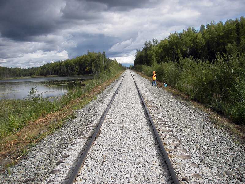
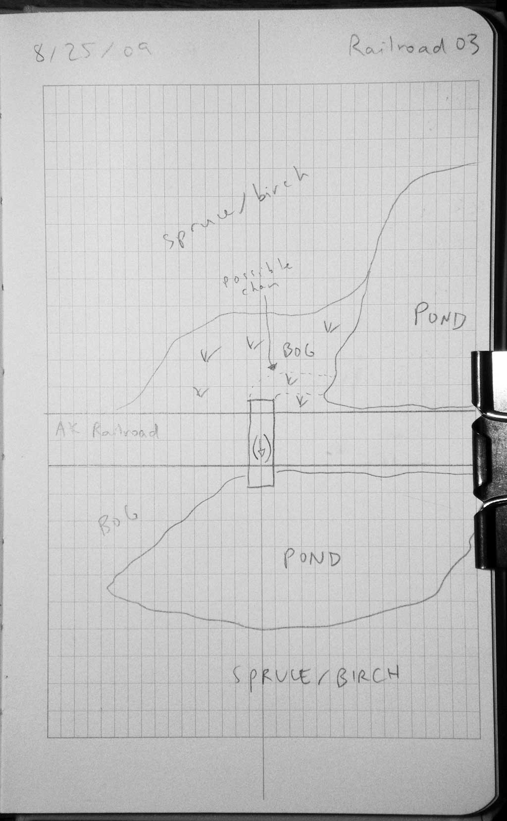
Road Name: Alaska Railroad
Datum: WGS84
Quad Name / ITM: Anchorage C-8
AWC Stream #:
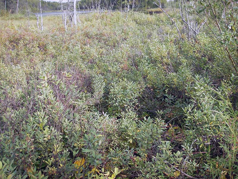
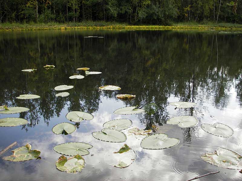
Stream Name: Wetland connector
Elevation:
Site Comments: AKRR MP 166.78 Wetland connector
Survey MSB09-ARR03
Project Supervisor: Gillian O'Doherty, ADFG
Observers: Heidi Zimmer, Ben Histand
Overall Fish Passage Rating:
Tidal: No
Backwatered: No
Step Pools: No
Construction Year:
Site Observations:
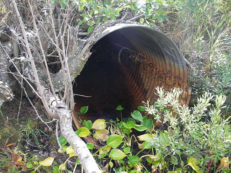
- Culvert gradient red
- Culvert is poorly aligned
- Sediment accumulation
- Mechanical damage or joints parting
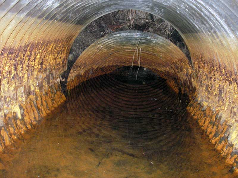
Comments: Pile of sand nearly fills pipe near inlet; pipe collapsed ~15' u/s of outlet.
Culvert Measurements
| ID: 1 | Structure Type: Circular pipe (Structural steel plate) | Fish Passage Rating: | |||||||||||||||||||||||||||||||||||||||||
|
|
|
|||||||||||||||||||||||||||||||||||||||||
Comments: Pipe collapsed about 15 up from outlet. |
|||||||||||||||||||||||||||||||||||||||||||
Culvert Observations:
|
|||||||||||||||||||||||||||||||||||||||||||
Stream Measurements
|
|
No stream width data available.
Elevations
| Locator ID | Culvert Number |
River Distance (ft)1 |
Distance From Crossing (ft)2 |
Relative Elevation (ft) |
|---|---|---|---|---|
| Outlet Pool Water Elev | 1 | 96.71 | ||
| U/S Headwater (lower than invert in - no flow into pipe) | 1 | 96.96 | ||
| Outlet Invert | 1 | 0.00 | 0.0 | 96.01 |
| Road Elev ((railroad)) | 1 | 25.50 | 104.85 | |
| Inlet Culvert Invert | 1 | 51.00 | 0.0 | 97.10 |
| U/S Thalweg | 1 | 51.00 | 0.0 | 96.95 |
Notes:
- River distance is measured continuously throughout the survey reach along the thalweg of the stream.
- Measured from each end of the crossing along the thalweg of the stream.
Fish Sampling Efforts
| Gear Type: Minnow Trap (A) | Trap Duration(h): 0.67 | |
| Comments: 70ft u/s | ||
| Gear Type: Minnow Trap (B) | Trap Duration(h): 0.67 | |
| Comments: no fish caught; 70ft d/s | ||
Fish Observations
| Species: stickleback-unspecified | Life History: Resident | ||
| Total Fish Observed: 2 | Fish Measured: | Fork Lengths (mm) Min: Max: Mean: | |
| Collected/Observed by Gear Type: Upstream Minnow Trap (2) | |||
| Species: no fish collected or observed | Life History: Not Applicable | ||
| Total Fish Observed: 0 | Fish Measured: 0 | Fork Lengths (mm) Min: Max: Mean: | |
| Collected/Observed by Gear Type: | |||
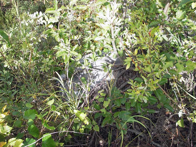
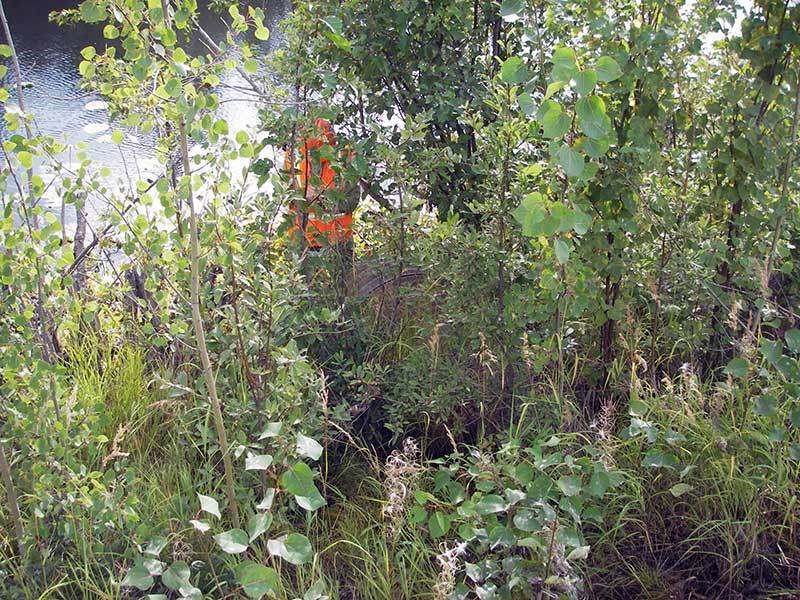
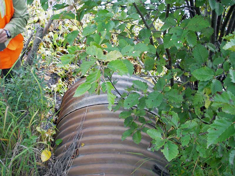
Photos

Questions or comments about this report can be directed to dfg.dsf.webmaster@alaska.gov