Fish Passage Site 20501159
Coordinates (dec. deg.): 61.58184°, -149.59375°
Legal Description: S017N002W11
Region: South Central
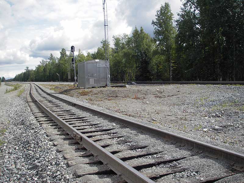
Road Name: Alaska Railroad
Datum: WGS84
Quad Name / ITM: Anchorage C-7
AWC Stream #:
Stream Name: Unnamed
Elevation:
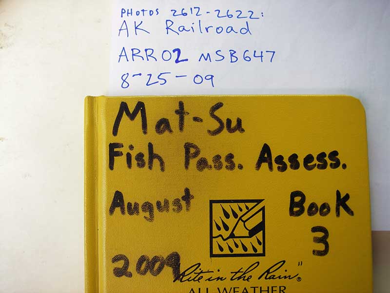
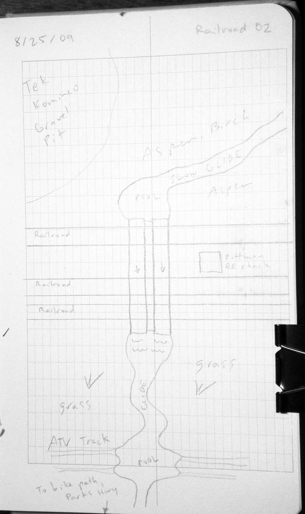
Site Comments: AKRR MP164.98
Survey MSB09-ARR02
Project Supervisor: Gillian O'Doherty, ADFG
Observers: Heidi Zimmer, Ben Histand
Overall Fish Passage Rating:
Tidal: No
Backwatered: No
Step Pools: No
Construction Year:
Site Observations:
- Culvert gradient red
- Constriction ratio gray
- Compound gradient in pipe
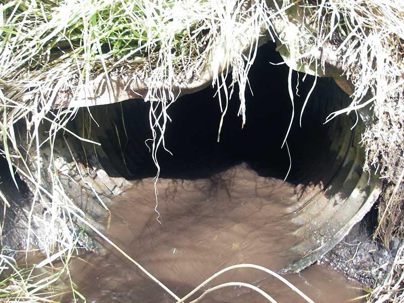
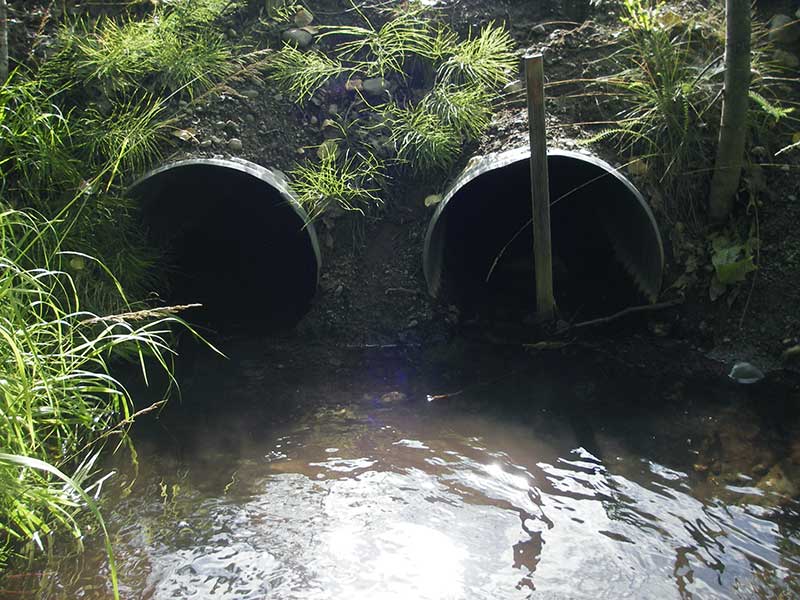
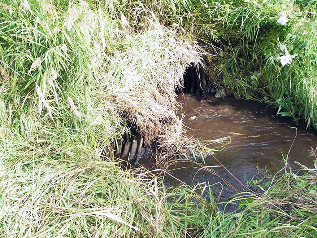
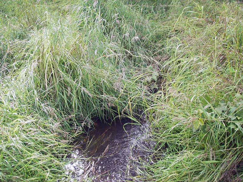
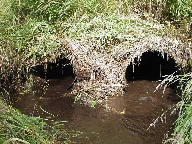
Comments: Pipes bent up in middle; velocity slow at inlet, riffle at outlet; pipe const is CSP at inlet, SSP at outlet
Culvert Measurements
| ID: 1 | Structure Type: Circular pipe (Corrugated steel) | Fish Passage Rating: | |||||||||||||||||||||||||||||||||||||||||
|
|
|
|||||||||||||||||||||||||||||||||||||||||
Culvert Observations:
|
|||||||||||||||||||||||||||||||||||||||||||
| ID: 2 | Structure Type: Circular pipe (Corrugated steel) | Fish Passage Rating: | |||||||||||||||||||||||||||||||||||||||||
|
|
|
|||||||||||||||||||||||||||||||||||||||||
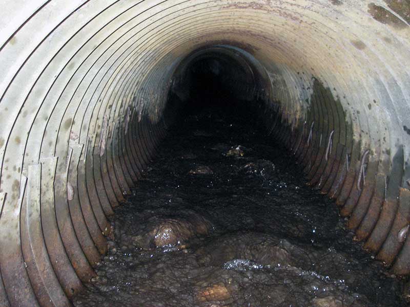
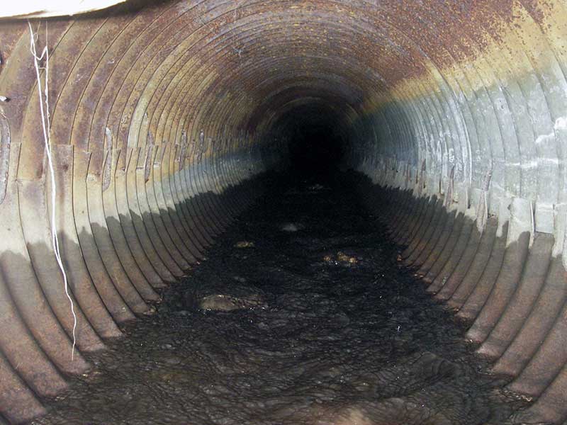
Comments: pipe bent at outlet; bent up in middle, water velocity slow at inlet, riffle at outlet; CSP at inlet, SSP at outlet |
|||||||||||||||||||||||||||||||||||||||||||
Culvert Observations:
|
|||||||||||||||||||||||||||||||||||||||||||
Stream Measurements
|
|
| Stream Width Type | Distance From Crossing (ft) |
Stream Width (ft) |
|---|---|---|
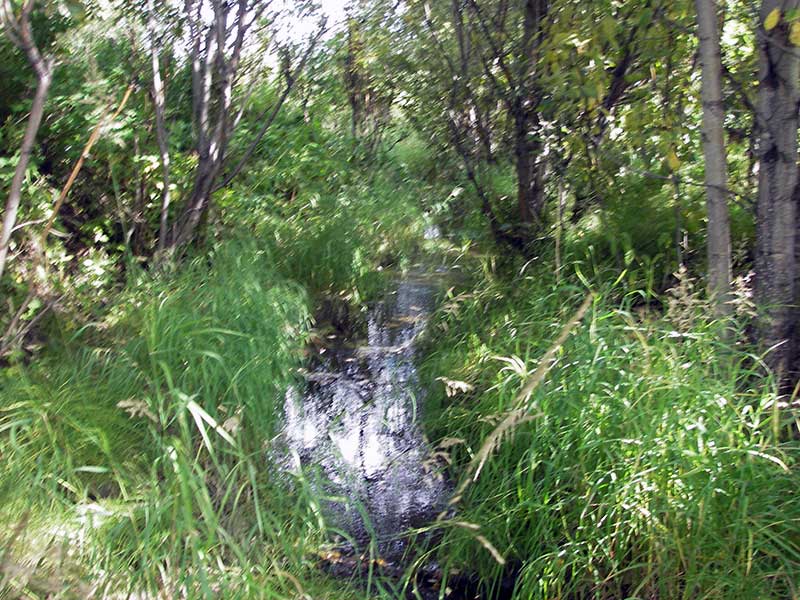
| Upstream ordinary high water | 30.0 | 3.50 |
| Upstream ordinary high water | 65.0 | 4.50 |
| Upstream ordinary high water | 100.0 | 5.00 |
Elevations
| Locator ID | Culvert Number |
River Distance (ft)1 |
Distance From Crossing (ft)2 |
Relative Elevation (ft) |
|---|---|---|---|---|
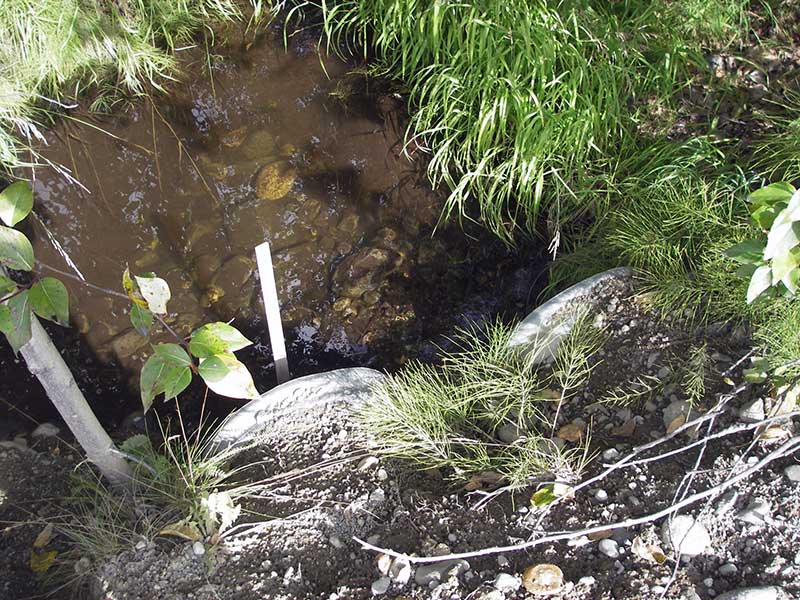
| Outlet Pool Water Elev | 1 | 95.86 | ||
| Outlet Pool Water Elev | 2 | 95.87 | ||
| U/S Headwater (pool immed. u/s) | 1 | 98.50 | ||
| U/S Headwater | 2 | 98.52 | ||
| D/S Water Surface Elev (@GP) | 0.00 | 33.0 | 95.76 | |
| D/S Grade Ctrl (Thalweg) (~GP on mud) | 0.00 | 33.0 | 95.06 | |
| D/S Water Surface Elev (@GP) | 16.00 | 17.0 | 95.81 | |
| D/S Grade Ctrl (Thalweg) (~GP on mud) | 16.00 | 17.0 | 94.79 | |
| D/S Thalweg | 28.00 | 5.0 | 95.34 | |
| Outlet Invert | 1 | 33.00 | 0.0 | 95.56 |
| Outlet Invert | 2 | 33.00 | 0.0 | 95.70 |
| Road Elev ((railroad)) | 84.50 | 102.98 | ||
| Inlet Culvert Invert | 1 | 136.80 | 0.0 | 98.03 |
| Inlet Culvert Invert | 2 | 137.00 | 0.0 | 98.25 |
Notes:
- River distance is measured continuously throughout the survey reach along the thalweg of the stream.
- Measured from each end of the crossing along the thalweg of the stream.
Fish Sampling Efforts
| Gear Type: Minnow Trap (A) | Trap Duration(h): 1.25 | |
| Comments: no fish caught; 60ft u/s | ||
| Gear Type: Minnow Trap (B) | Trap Duration(h): 1.25 | |
| Comments: no fish caught; 60ft d/s | ||
Fish Observations
No fish observations occurred during this survey.
Photos

Questions or comments about this report can be directed to dfg.dsf.webmaster@alaska.gov