Fish Passage Site 20501158
Coordinates (dec. deg.): 61.58070°, -149.57302°
Legal Description: S017N002W11
Region: South Central
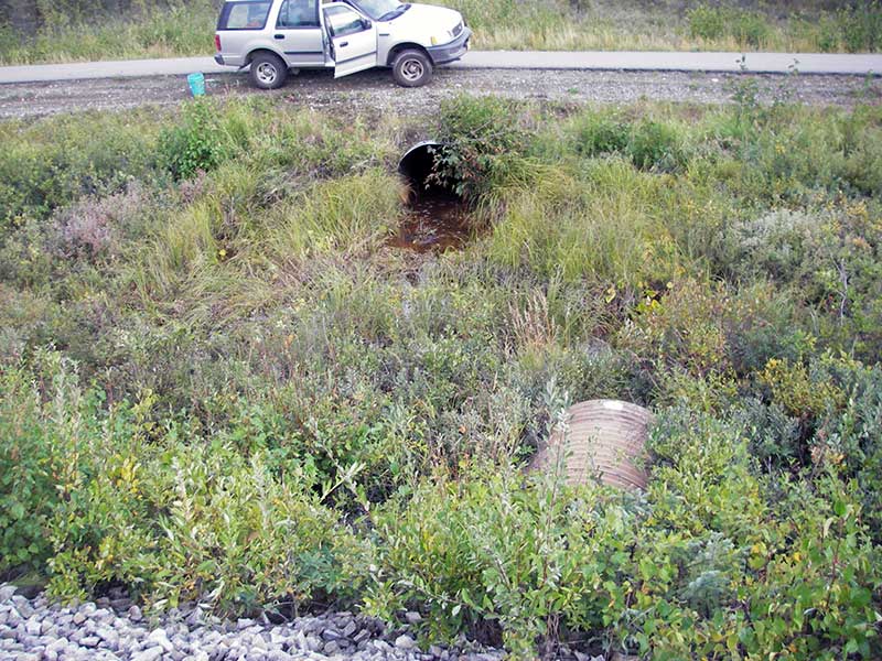
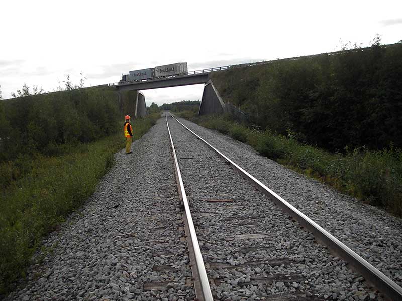
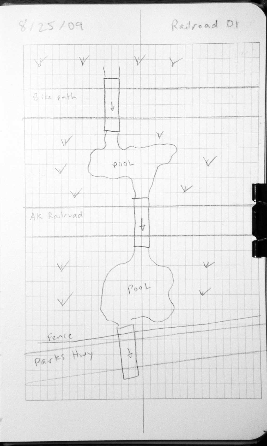
Road Name: Alaska Railroad
Datum: WGS84
Quad Name / ITM: Anchorage C-7
AWC Stream #:
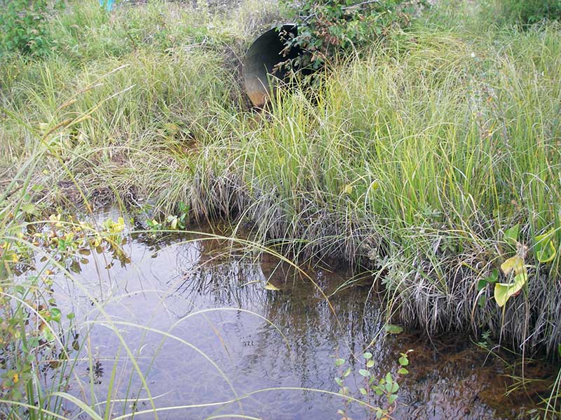
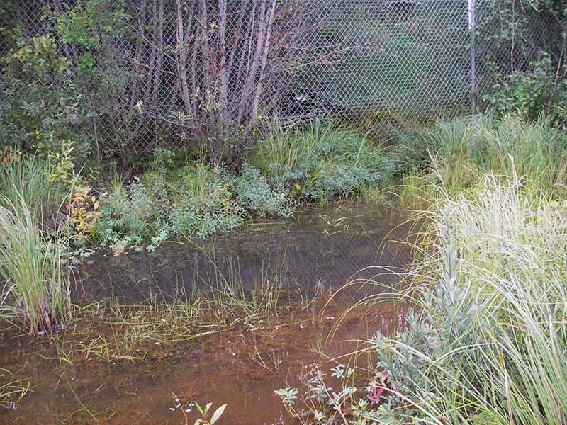
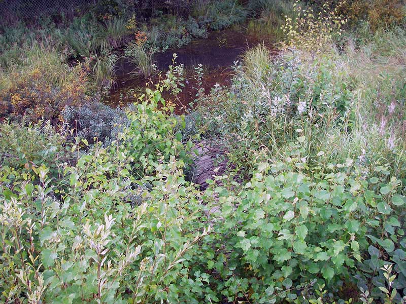
Stream Name: Wetland
Elevation:
Site Comments: AKRR MP 164.32
Survey MSB09-ARR01
Project Supervisor: Gillian O'Doherty, ADFG
Observers: Heidi Zimmer, Ben Histand
Overall Fish Passage Rating:
Tidal: No
Backwatered: Yes
Step Pools: No
Construction Year:
Site Observations:
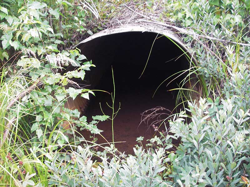
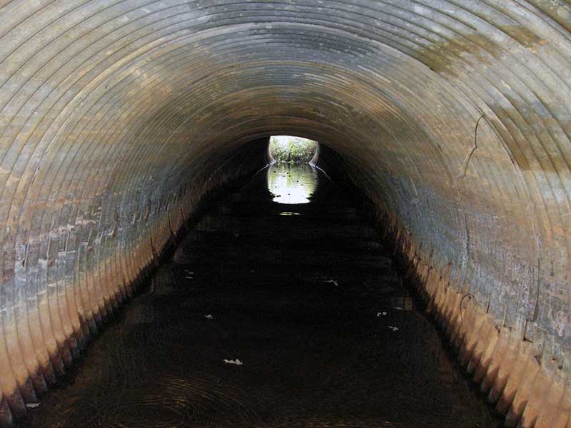
- Culvert sagging in middle
- Mechanical damage or joints parting
Comments: Pipe is 2 halves (lengthwise) bolted together. HWS=TWS=BW. Top of pipe sags in middle. No stream features (wetland)
Culvert Measurements
| ID: 1 | Structure Type: Circular pipe (Corrugated steel) | Fish Passage Rating: | |||||||||||||||||||||||||||||||||||||||||
|
|
|
|||||||||||||||||||||||||||||||||||||||||
Culvert Observations:
|
|||||||||||||||||||||||||||||||||||||||||||
Stream Measurements
|
|
No stream width data available.
Elevations
| Locator ID | Culvert Number |
River Distance (ft)1 |
Distance From Crossing (ft)2 |
Relative Elevation (ft) |
|---|---|---|---|---|
| U/S Headwater | 1 | 96.50 | ||
| Outlet Pool Water Elev | 1 | 96.50 | ||
| D/S Thalweg | 1 | 0.00 | 3.0 | 96.72 |
| Outlet Invert | 1 | 3.00 | 0.0 | 96.02 |
| Road Elev ((railroad surface)) | 1 | 31.50 | 105.48 | |
| Inlet Culvert Invert | 1 | 58.30 | 0.0 | 95.96 |
| U/S Grade Ctrl (Thalweg) | 1 | 62.30 | 4.0 | 96.03 |
| U/S Water Surface Elev (@GP) | 1 | 62.30 | 4.0 | 96.56 |
Notes:
- River distance is measured continuously throughout the survey reach along the thalweg of the stream.
- Measured from each end of the crossing along the thalweg of the stream.
Fish Sampling Efforts
| Gear Type: Minnow Trap (A) | Trap Duration(h): 0.75 | |
| Comments: no fish caught; 25ft d/s | ||
Fish Observations
No fish observations occurred during this survey.
Photos

Questions or comments about this report can be directed to dfg.dsf.webmaster@alaska.gov