Fish Passage Site 20501157
Coordinates (dec. deg.): 61.63160°, -149.78001°
Legal Description: S018N003W23
Region: South Central
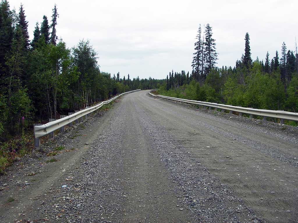
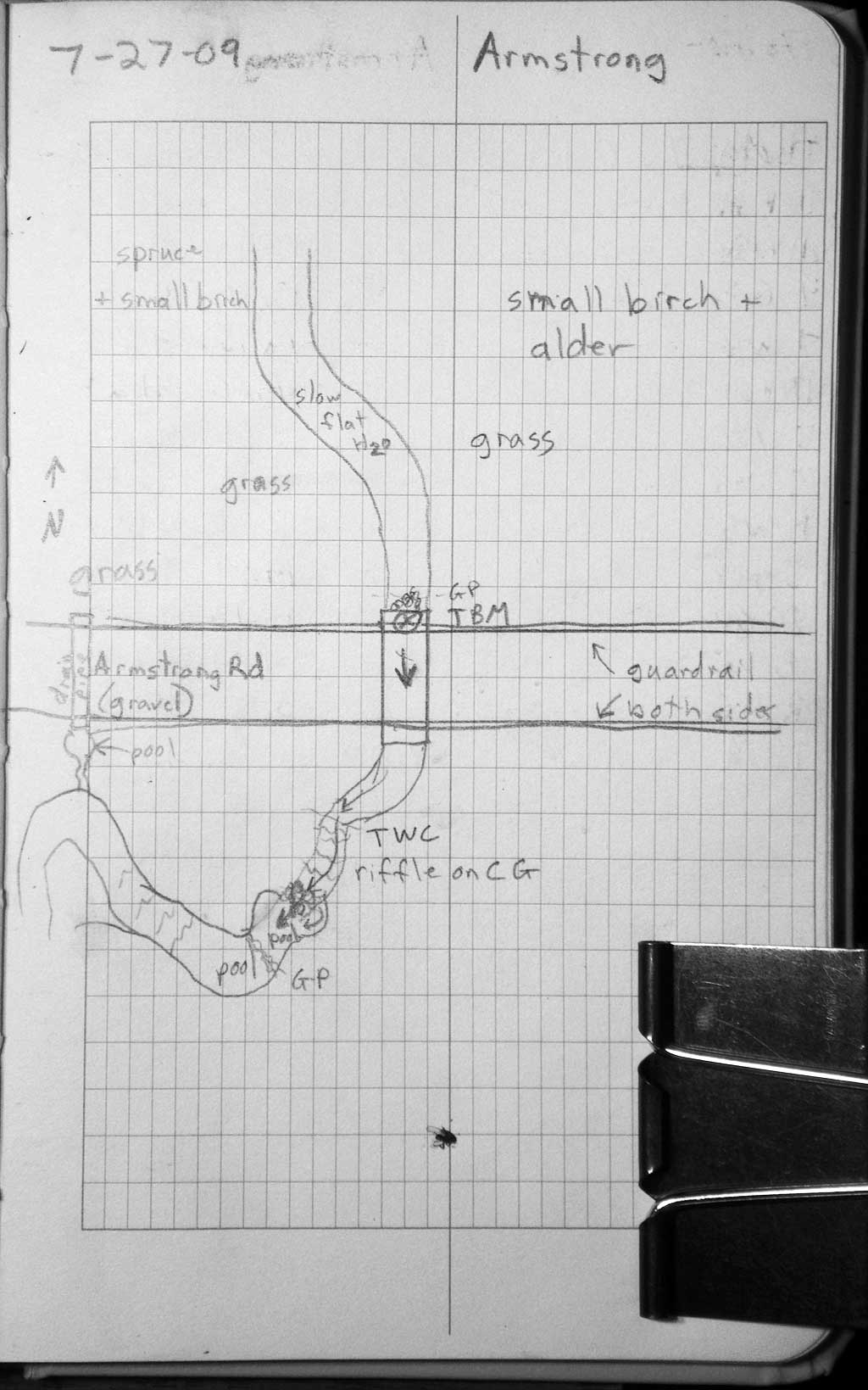
Road Name: West Armstrong Road
Datum: NAD83
Quad Name / ITM: Anchorage C-8
AWC Stream #:
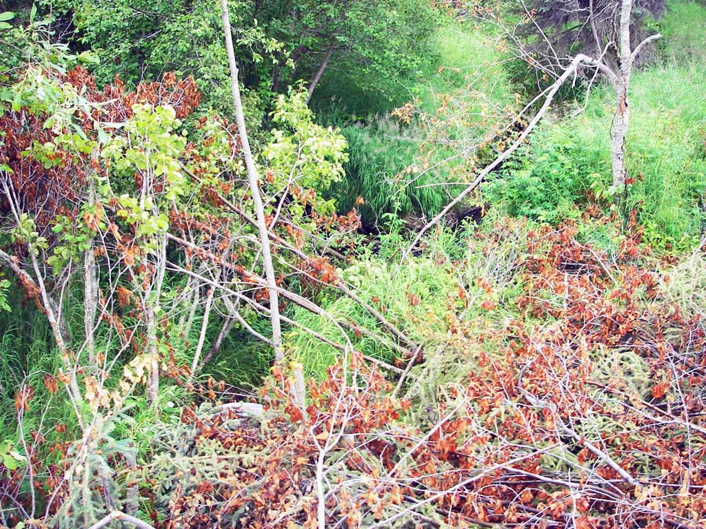
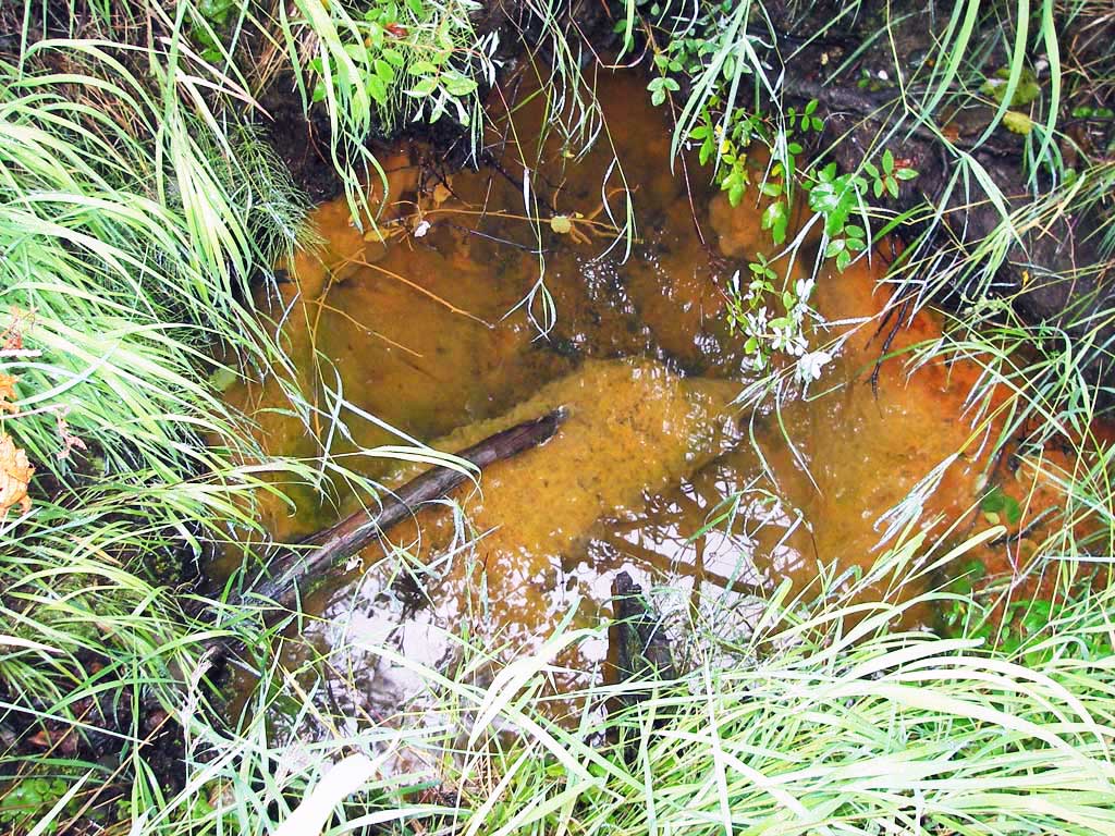
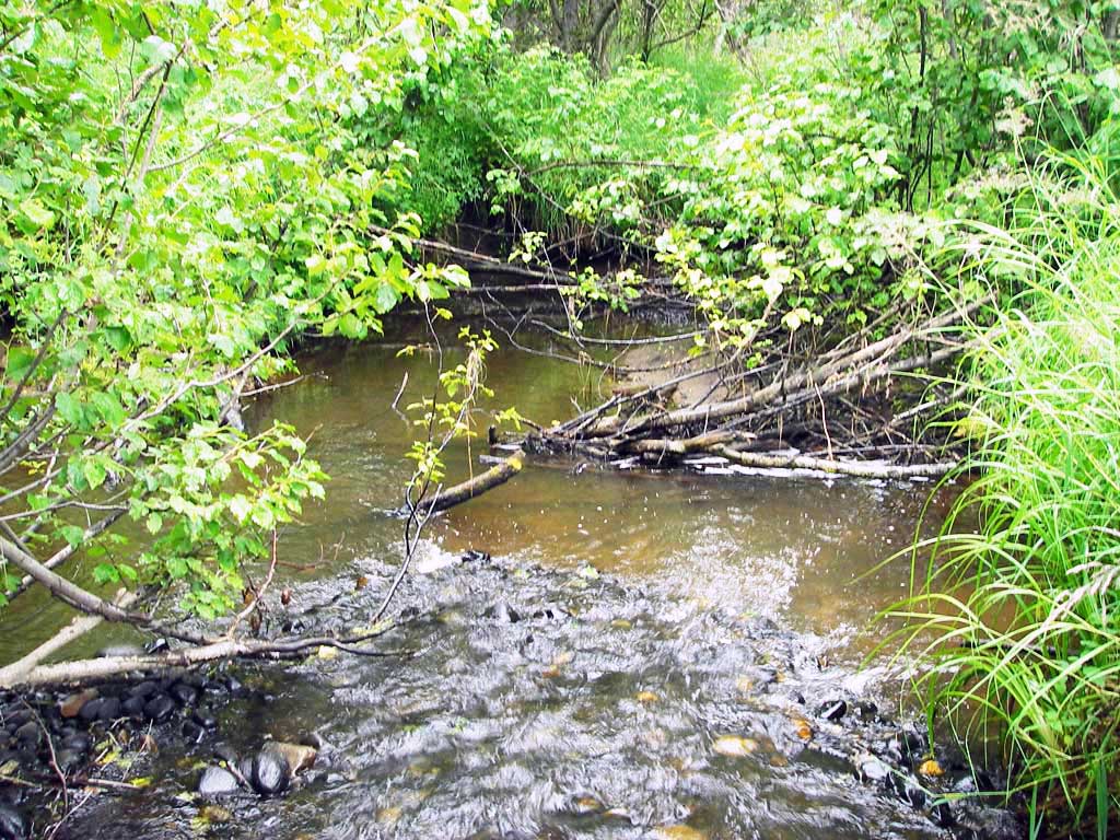
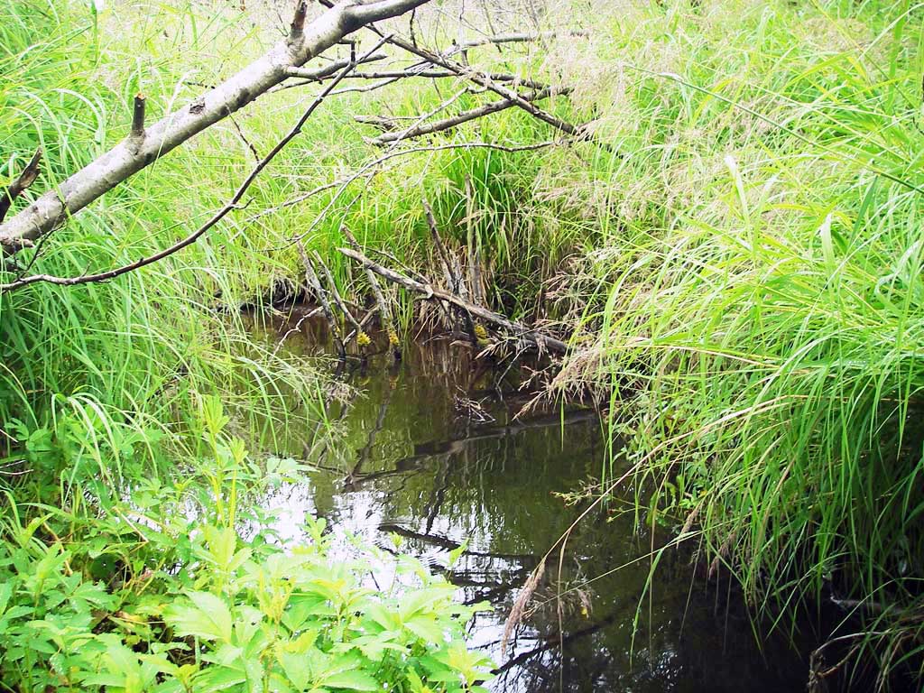
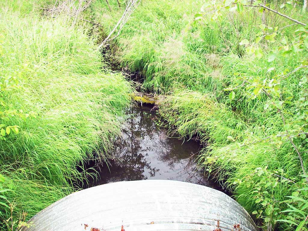
Stream Name: Little Susitna River tributary
Elevation:
Site Comments: None
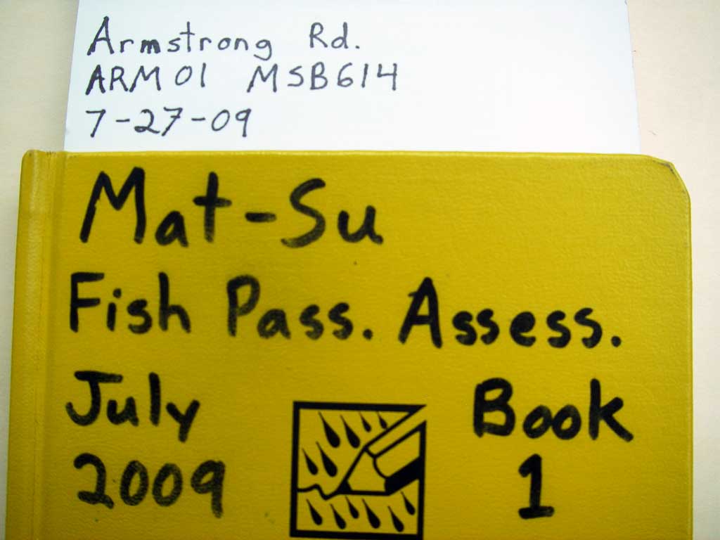
Survey MSB09-ARM01
Project Supervisor: Gillian O'Doherty, ADFG
Observers: Heidi Zimmer, Ben Histand
Overall Fish Passage Rating:
Tidal: No
Backwatered: No
Step Pools: No
Construction Year:
Site Observations:
- None of this type
Comments: Juvenile salmonids observed u/s and d/s.
Culvert Measurements
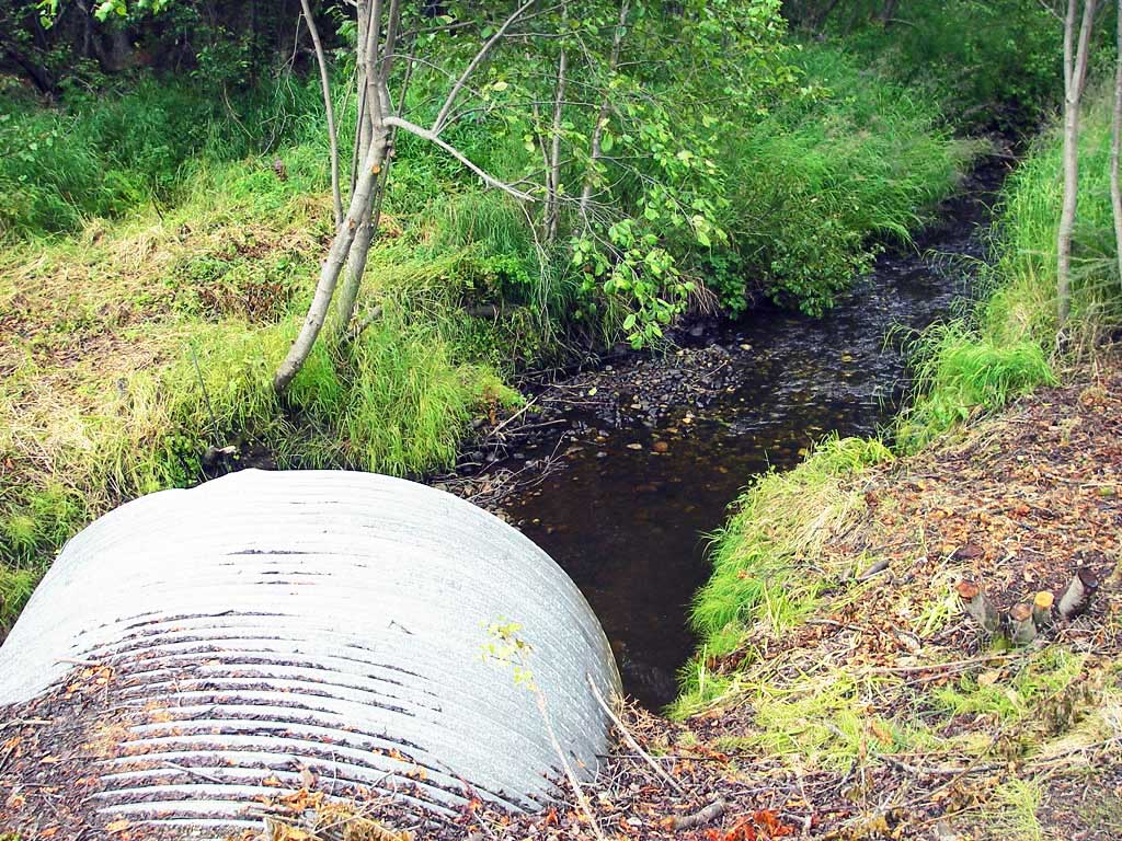
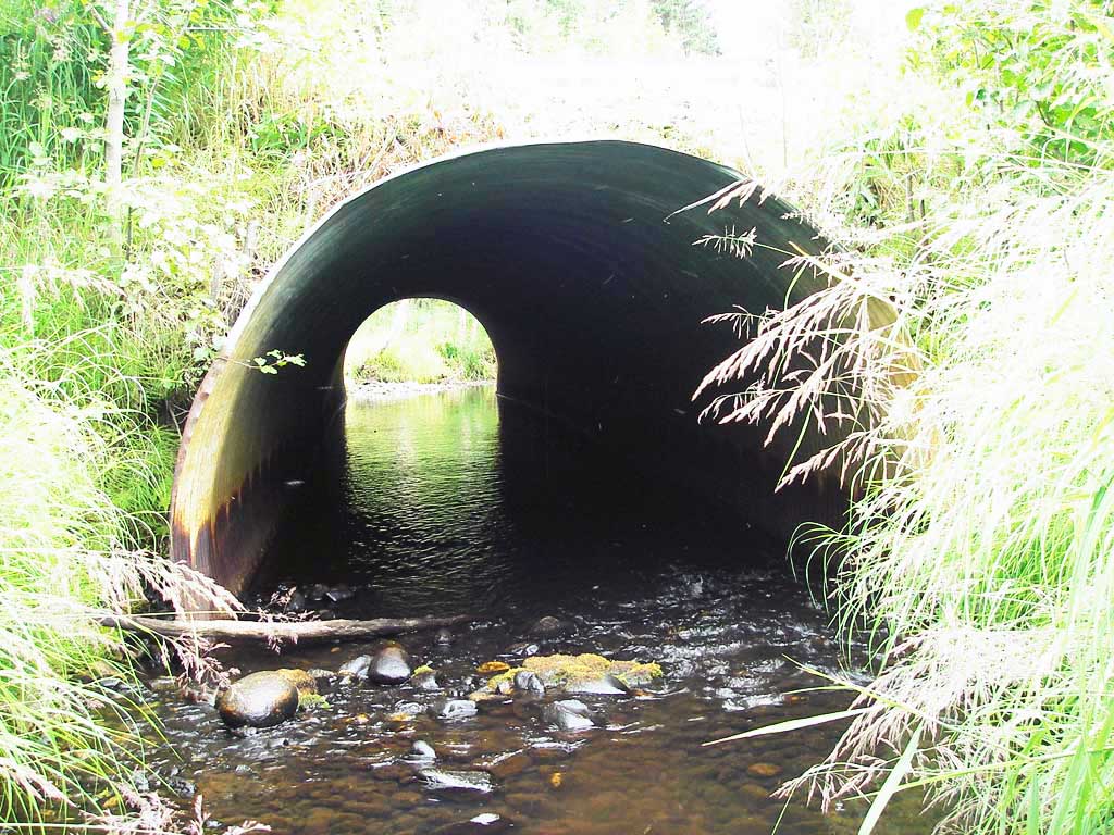
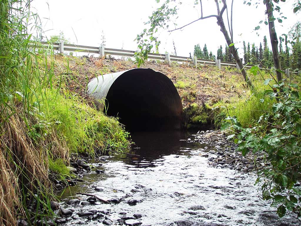
| ID: 1 | Structure Type: Circular pipe (Corrugated steel) | Fish Passage Rating: | ||||||||||||||||||||||||||||||||||||||||||
|
|
|
||||||||||||||||||||||||||||||||||||||||||
Culvert Observations:
|
||||||||||||||||||||||||||||||||||||||||||||
Stream Measurements
|
|
| Stream Width Type | Distance From Crossing (ft) |
Stream Width (ft) |
|---|---|---|
| Upstream ordinary high water | 40.0 | 9.50 |
| Upstream ordinary high water | 70.0 | 9.50 |
| Upstream ordinary high water | 120.0 | 8.50 |
Elevations
| Locator ID | Culvert Number |
River Distance (ft)1 |
Distance From Crossing (ft)2 |
Relative Elevation (ft) |
|---|---|---|---|---|
| D/S Grade Ctrl (Thalweg) (GP at bottom of riffle) | 0.00 | 91.49 | ||
| D/S Water Surface Elev | 0.00 | 92.52 | ||
| D/S Tailcrest or 1st Thalweg (tailwater control) | 35.00 | 93.13 | ||
| D/S Water Surface Elev | 35.00 | 93.68 | ||
| Max Pool Depth (max pool depth) | 45.00 | 92.83 | ||
| D/S Water Surface Elev | 45.00 | 93.72 | ||
| Outlet Invert (invert on substrate) | 47.00 | 92.55 | ||
| D/S Water Surface Elev (outlet water surface) | 47.00 | 93.71 | ||
| Outlet Culvert Top | 47.00 | 99.89 | ||
| Road Elev | 80.00 | 103.20 | ||
| Inlet Culvert Top | 113.50 | 100.00 | ||
| Inlet Culvert Invert (invert on substrate) | 113.50 | 93.17 | ||
| U/S Water Surface Elev (inlet water surface) | 113.50 | 93.76 | ||
| U/S Water Surface Elev | 119.50 | 93.87 | ||
| U/S Thalweg (profile pt) | 119.50 | 93.22 | ||
| U/S Water Surface Elev (water surface for gradient) | 122.50 | 93.94 | ||
| U/S Water Surface Elev (water surface for gradient) | 213.50 | 94.09 |
Notes:
- River distance is measured continuously throughout the survey reach along the thalweg of the stream.
- Measured from each end of the crossing along the thalweg of the stream.
Fish Sampling Efforts
| Gear Type: Visual Observation, Ground (A) | ||
| Comments: Juvenile salmonids observed u/s and d/s. | ||
Fish Observations
| Species: juvenile Pacific salmon-unspecified | Life History: Anadromous | ||
| Total Fish Observed: | Fish Measured: | Fork Lengths (mm) Min: Max: Mean: | |
| Collected/Observed by Gear Type: Visual Observation, Ground () | |||
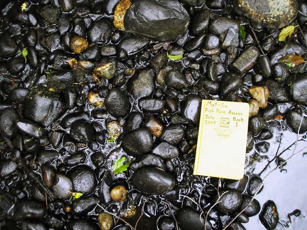
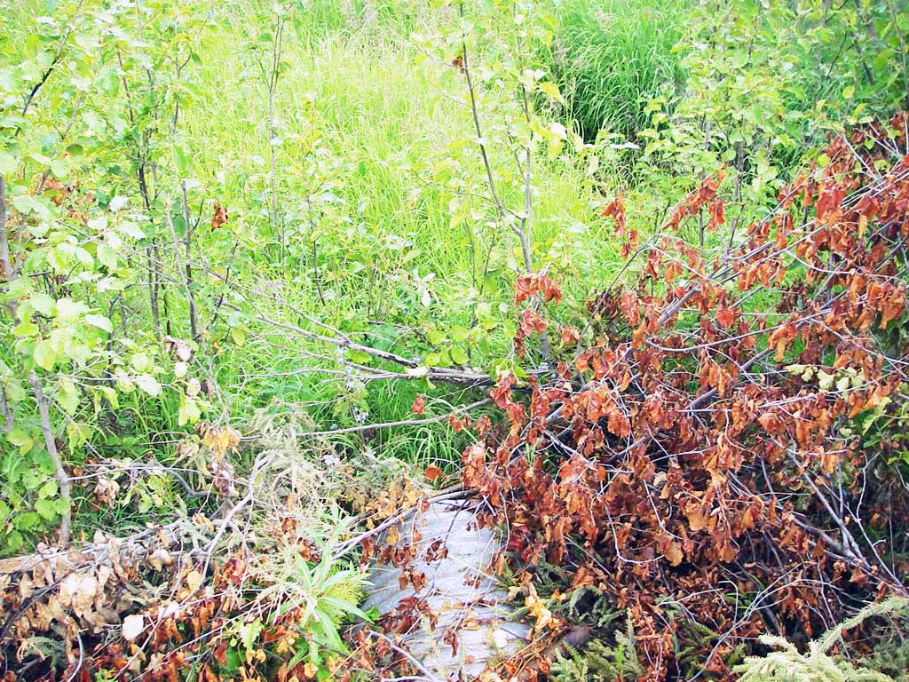
Photos
Questions or comments about this report can be directed to dfg.dsf.webmaster@alaska.gov