Fish Passage Site 20501152
Coordinates (dec. deg.): 61.59139°, -149.74056°
Legal Description: S017N003W01
Region: South Central
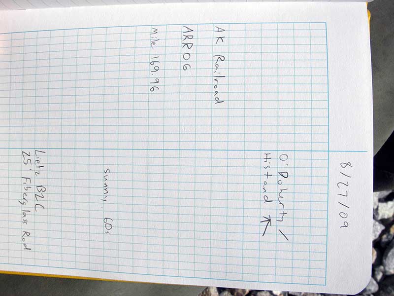
Road Name: Alaska Railroad
Datum: NAD83
Quad Name / ITM: Anchorage C-8
AWC Stream #:
Stream Name:
Elevation:
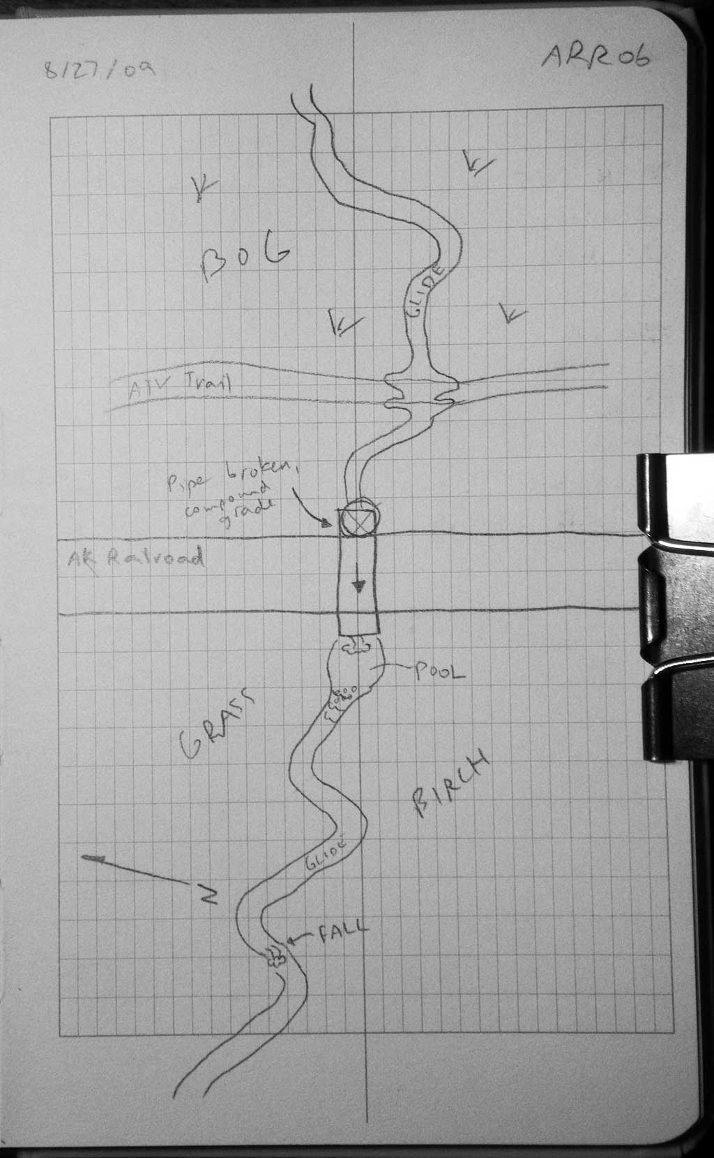
Site Comments: AKRR Mp 169.96
arrow to the right of the survey date below to choose a different report for this site.
Survey MSB09-ARR06
Project Supervisor: Gillian O'Doherty, ADFG
Observers: Gillian O'Doherty, Ben Histand
Overall Fish Passage Rating:
Tidal: No
Backwatered: No
Step Pools:
Construction Year:
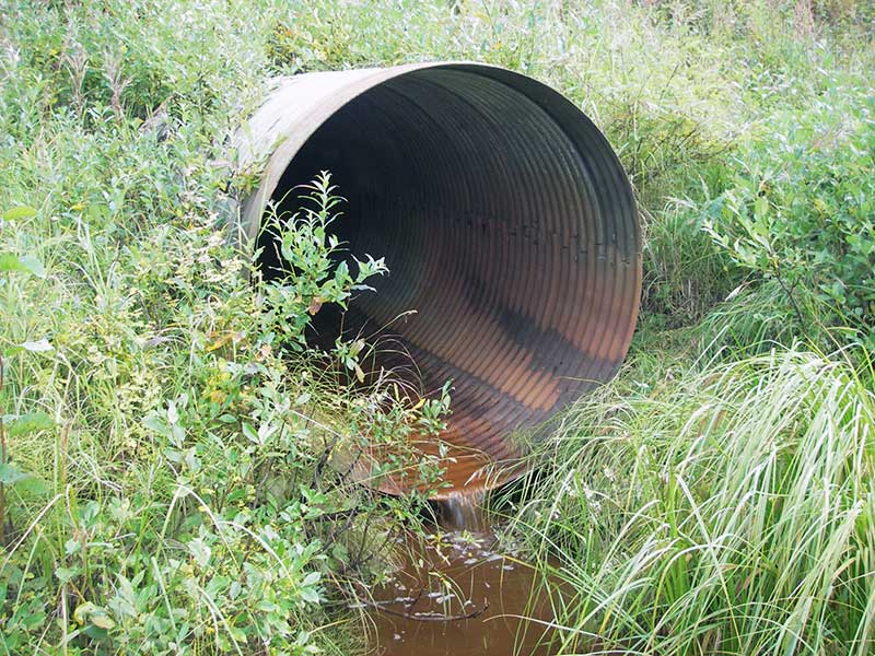
Site Observations:
- Culvert gradient red
- Outfall height gray
- Mechanical damage or joints parting
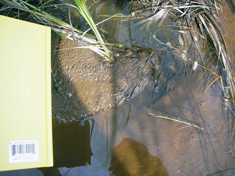
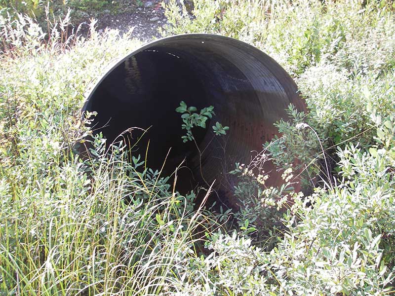
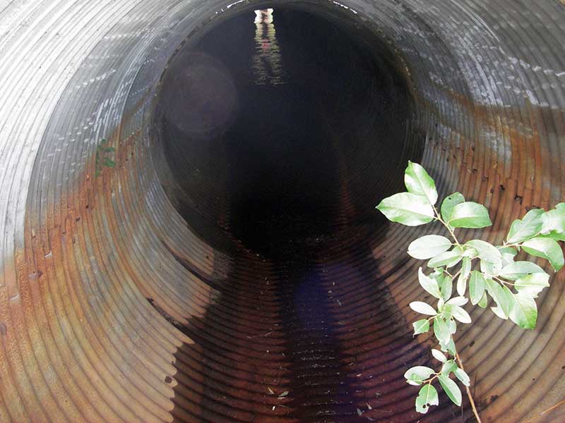
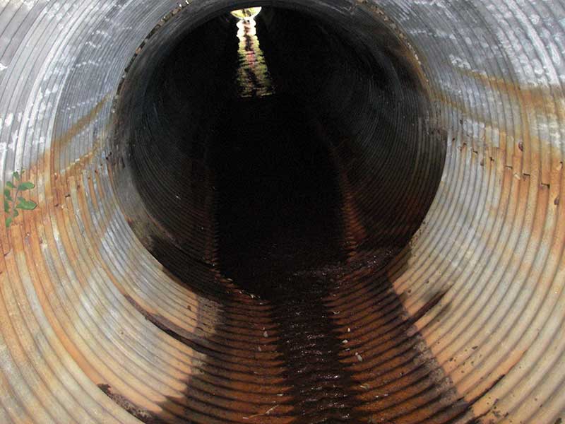
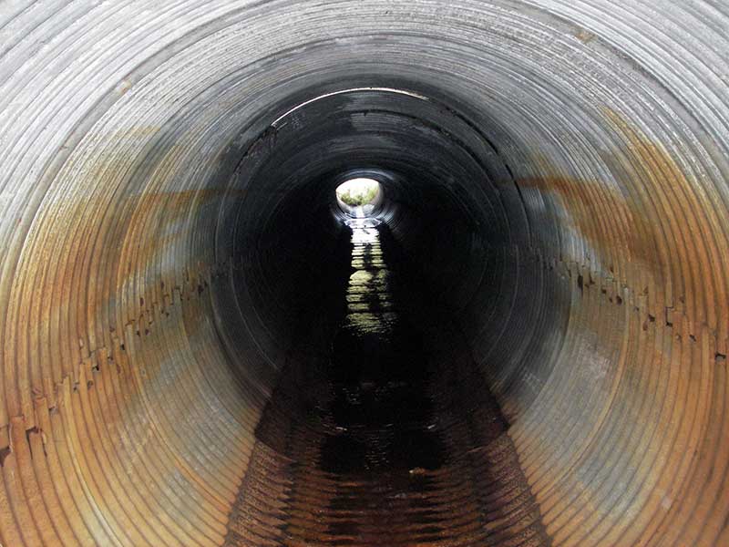
Comments: Damaged by ATVs: upstream detached, water flowing subsurface then back into pipe; otherwise in good cond.
Culvert Measurements
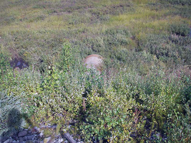
| ID: 1 | Structure Type: Circular pipe (Corrugated steel) | Fish Passage Rating: | |||||||||||||||||||||||||||||||||||||||||
|
|
|
|||||||||||||||||||||||||||||||||||||||||
Culvert Observations:
|
|||||||||||||||||||||||||||||||||||||||||||
Stream Measurements
|
|
| Stream Width Type | Distance From Crossing (ft) |
Stream Width (ft) |
|---|---|---|
| Upstream ordinary high water | 24.0 | 3.20 |
| Upstream ordinary high water | 69.0 | 4.00 |
| Upstream ordinary high water | 83.0 | 3.70 |
Elevations
| Locator ID | Culvert Number |
River Distance (ft)1 |
Distance From Crossing (ft)2 |
Relative Elevation (ft) |
|---|---|---|---|---|
| D/S Water Surface Elev (WS in pipe at INVOUT) | 1 | 92.48 | ||
| D/S Tailcrest or 1st Thalweg | 1 | 0.00 | 9.0 | 92.00 |
| D/S Water Surface Elev (@TWC) | 1 | 0.00 | 9.0 | 92.11 |
| Outlet Pool Water Elev | 1 | 7.00 | 2.0 | 92.15 |
| D/S Thalweg (bottom of out pool) | 1 | 7.00 | 2.0 | 91.61 |
| Outlet Invert | 1 | 9.00 | 0.0 | 92.39 |
| Road Elev ((railroad)) | 1 | 60.50 | 114.63 | |
| Inlet Culvert Invert (~no running water @inlet) | 1 | 109.00 | 0.0 | 94.93 |
| U/S Grade Ctrl (Thalweg) (TC of pool u/s) | 1 | 119.50 | 10.5 | 94.36 |
| U/S Water Surface Elev | 1 | 119.50 | 10.5 | 94.90 |
Notes:
- River distance is measured continuously throughout the survey reach along the thalweg of the stream.
- Measured from each end of the crossing along the thalweg of the stream.
Fish Sampling Efforts
| Gear Type: Minnow Trap (A) | ||
| Comments: no fish caught; 100ft u/s; no set length recorded | ||
| Gear Type: Minnow Trap (B) | ||
| Comments: no fish caught; 75ft d/s; no set length recorded | ||
Fish Observations
No fish observations occurred during this survey.
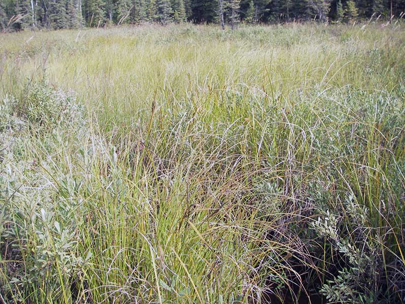
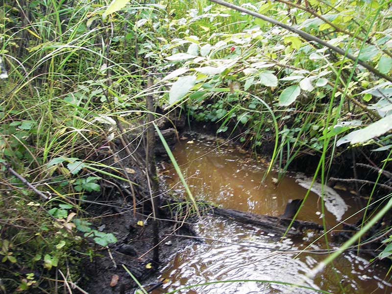
Photos

Questions or comments about this report can be directed to dfg.dsf.webmaster@alaska.gov