Fish Passage Site 20501130
Coordinates (dec. deg.): 61.57322°, -149.83943°
Legal Description: S017N003W09
Region: South Central
Road Name: Beaver Lake Road
Datum: NAD83
Quad Name / ITM: Anchorage C-8
AWC Stream #:
Stream Name: Unnamed
Elevation:
Site Comments: None
arrow to the right of the survey date below to choose a different report for this site.
Survey MSB04-ML104
Observers: Gary Greenberg, Jen Ransom
Overall Fish Passage Rating:
Tidal: No
Backwatered: No
Step Pools:
Construction Year:
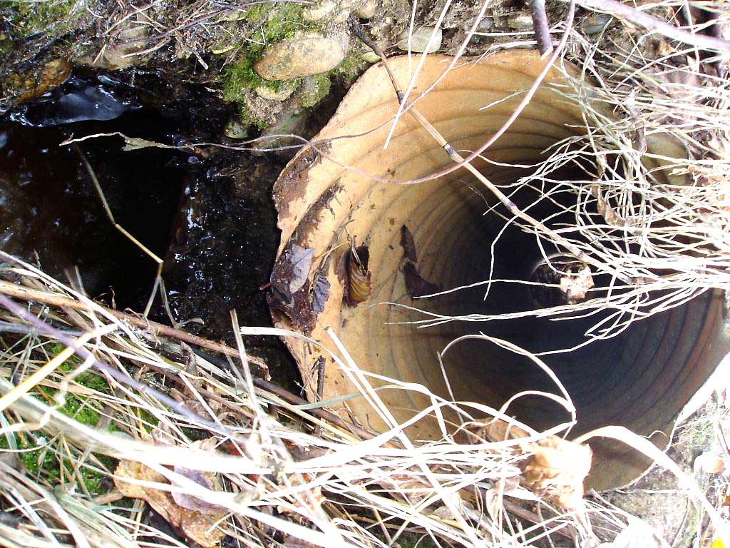
Site Observations:
- Hydraulic flows exceeded capacity
- Mechanical damage or joints parting
Comments: Lat longs are slightly off, the site is not on AWC stream number 247-50-10330-2050-3019, but on a drainage to it.
Culvert Measurements
| ID: 1 | Structure Type: Circular pipe (Non-corrugated metal) | Fish Passage Rating: | |||||||||||||||||||||||||||||||||||||||||
|
|
|
|||||||||||||||||||||||||||||||||||||||||
Culvert Observations:
|
|||||||||||||||||||||||||||||||||||||||||||
Stream Measurements
|
|
No stream width data available.
Elevations
| Locator ID | Culvert Number |
River Distance (ft)1 |
Distance From Crossing (ft)2 |
Relative Elevation (ft) |
|---|---|---|---|---|
| OHW Left Bank | 98.06 | |||
| OHW Left Bank | 98.10 | |||
| D/S Tailcrest or 1st Thalweg | 0.00 | 5.2 | 97.49 | |
| Max Pool Depth | 3.70 | 1.5 | 97.02 | |
| D/S Thalweg | 3.70 | 1.5 | 97.02 | |
| Outlet Invert | 1 | 5.20 | 0.0 | 97.00 |
| Road Elev | 11.20 | 99.91 | ||
| Inlet Culvert Invert | 1 | 17.20 | 0.0 | 97.21 |
| U/S Thalweg | 1 | 18.20 | 1.0 | 97.64 |
| U/S Water Surface Elev | 1 | 19.30 | 2.1 | 97.58 |
Notes:
- River distance is measured continuously throughout the survey reach along the thalweg of the stream.
- Measured from each end of the crossing along the thalweg of the stream.
Fish Sampling Efforts
No fish sampling occurred during this survey.
Fish Observations
No fish observations occurred during this survey.
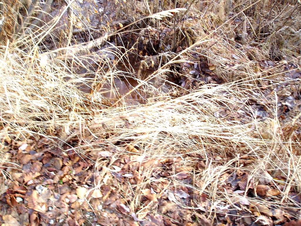
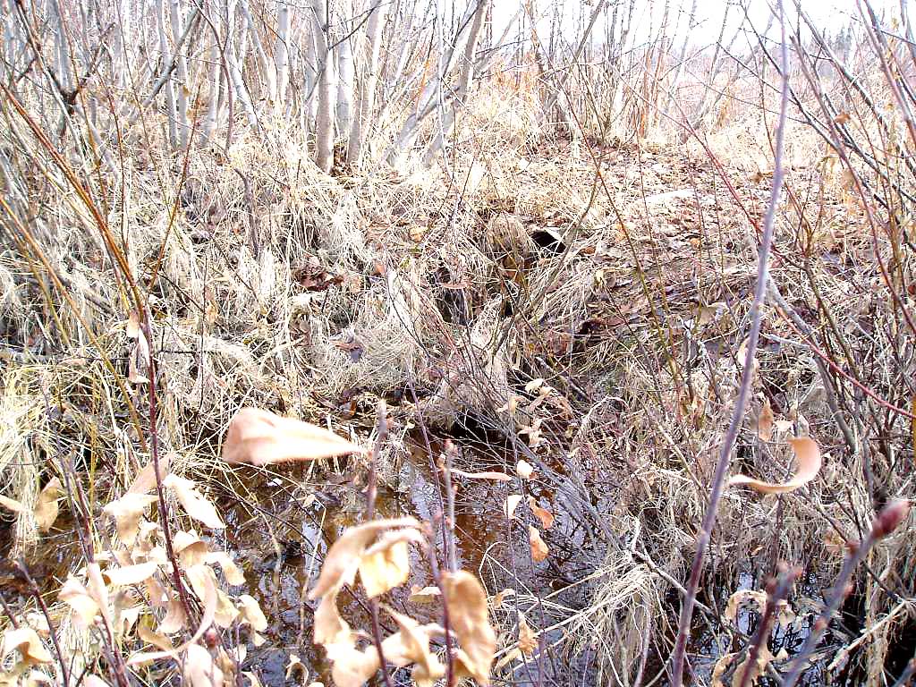
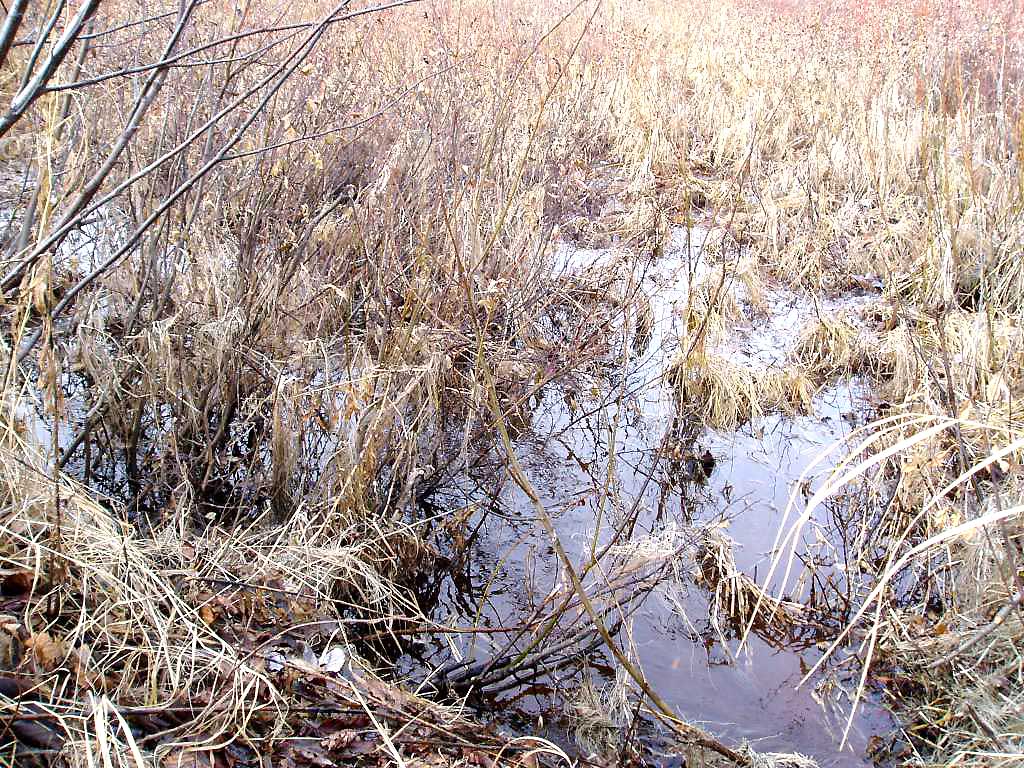
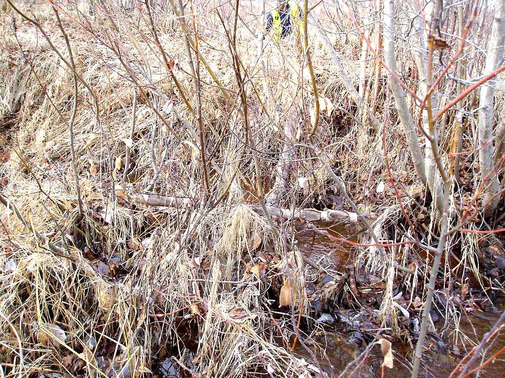
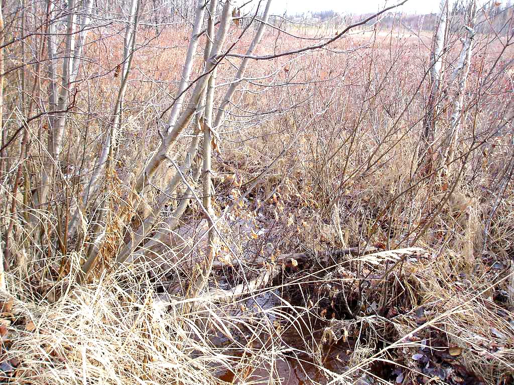
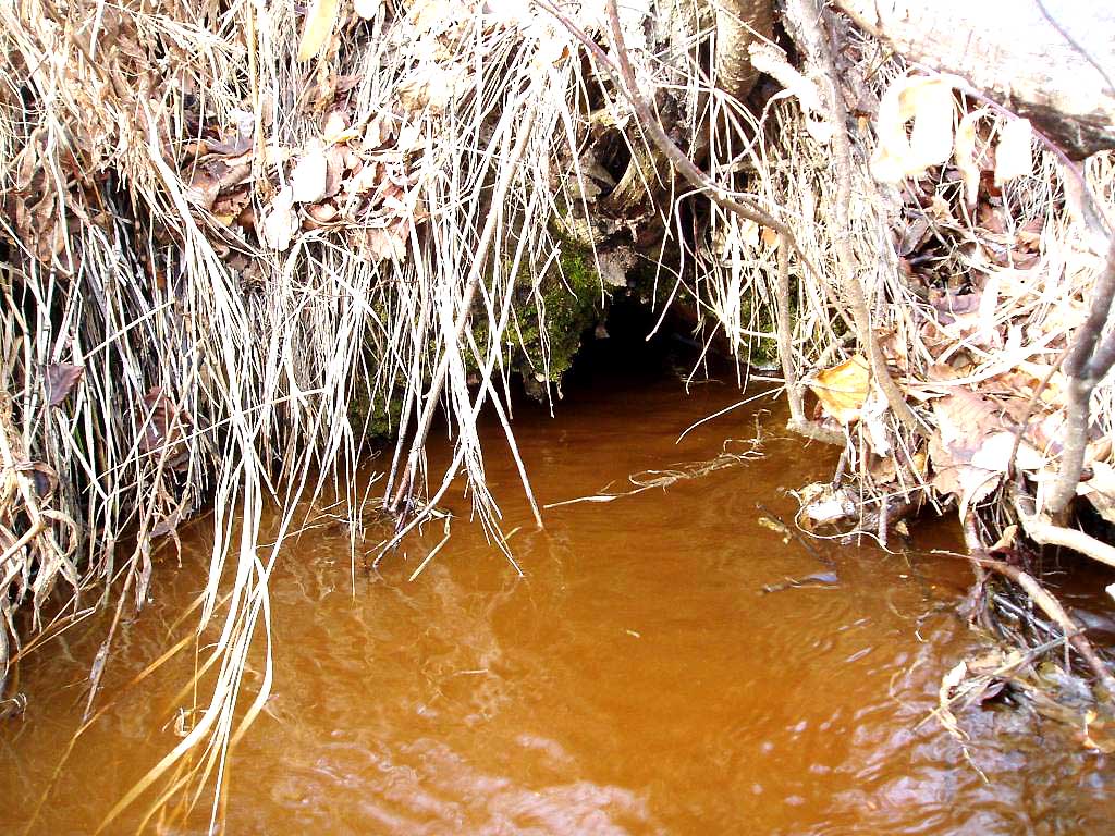
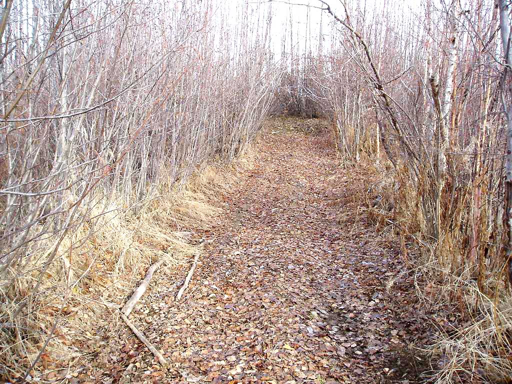
Photos
Questions or comments about this report can be directed to dfg.dsf.webmaster@alaska.gov