Fish Passage Site 20501115
Coordinates (dec. deg.): 62.48607°, -150.76566°
Legal Description: S028N008W28
Region: South Central
Road Name: Horseshoe Lake Road
Datum: NAD83
Quad Name / ITM: Talkeetna B-2
AWC Stream #:
Stream Name: Unnamed
Elevation:
Site Comments: None
arrow to the right of the survey date below to choose a different report for this site.
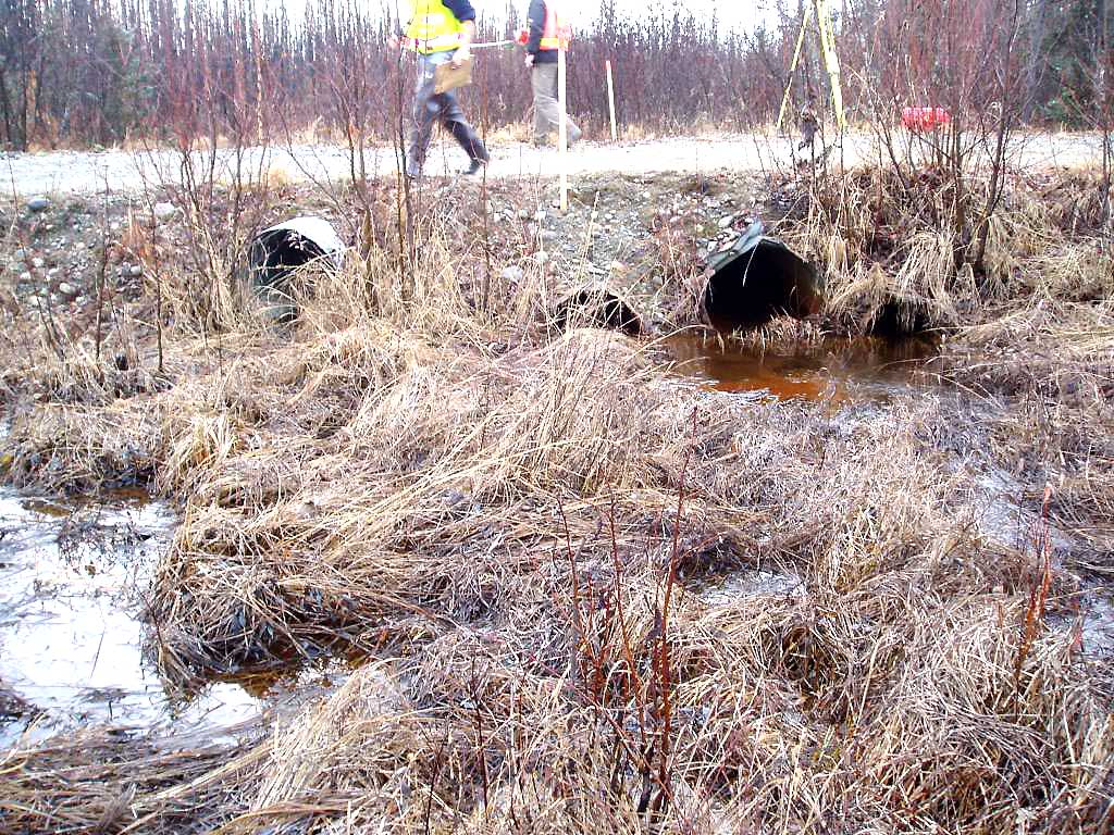
Survey MSB04-ML089
Observers: Gary Greenberg, Jen Ransom
Overall Fish Passage Rating:
Tidal: No
Backwatered: No
Step Pools:
Construction Year:
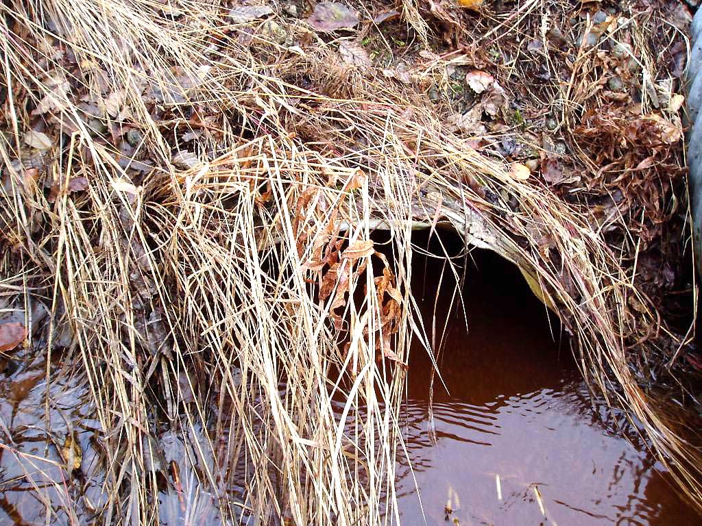
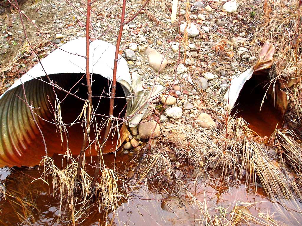
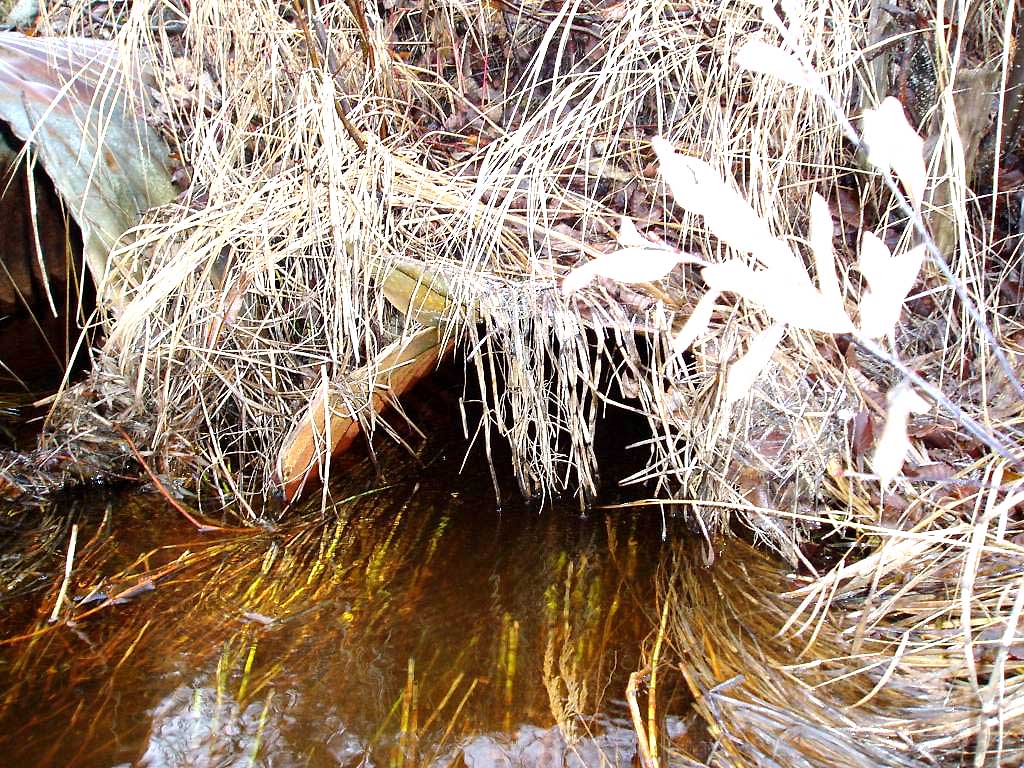
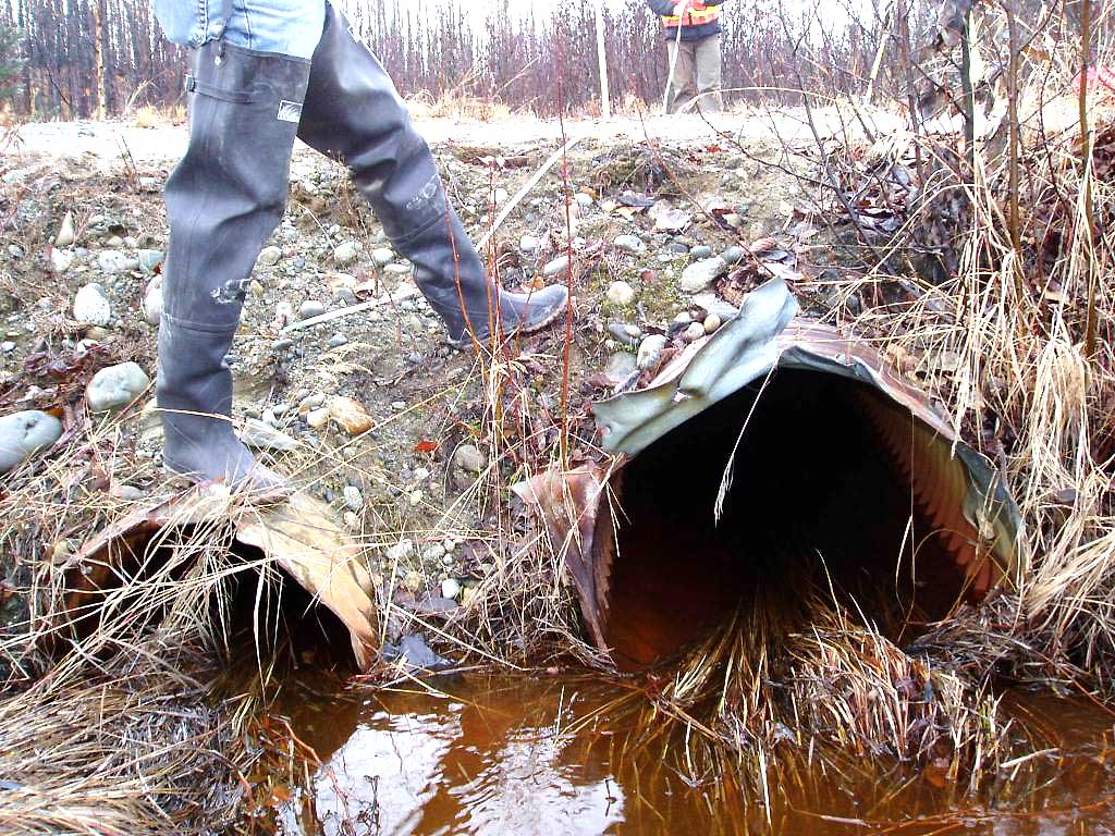
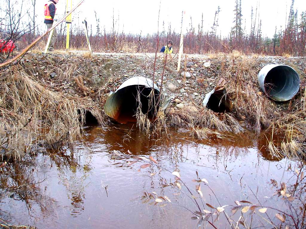
Comments: Likely passes fish but very undersized and in bad condition.
Culvert Measurements
| ID: 1 | Structure Type: Circular pipe (Corrugated Metal) | Fish Passage Rating: | |||||||||||||||||||||||||||||||||||||||||
|
|
|
|||||||||||||||||||||||||||||||||||||||||
| ID: 2 | Structure Type: Circular pipe (Corrugated Metal) | Fish Passage Rating: | |||||||||||||||||||||||||||||||||||||||||
|
|
|
|||||||||||||||||||||||||||||||||||||||||
| ID: 3 | Structure Type: Circular pipe (Corrugated Metal) | Fish Passage Rating: | |||||||||||||||||||||||||||||||||||||||||
|
|
|
|||||||||||||||||||||||||||||||||||||||||
Stream Measurements
|
|
No stream width data available.
Elevations
| Locator ID | Culvert Number |
River Distance (ft)1 |
Distance From Crossing (ft)2 |
Relative Elevation (ft) |
|---|---|---|---|---|
| OHW Left Bank | 97.16 | |||
| OHW Left Bank | 97.20 | |||
| D/S Tailcrest or 1st Thalweg | 0.00 | 11.5 | 96.25 | |
| D/S Thalweg | 6.10 | 5.4 | 95.93 | |
| Max Pool Depth | 6.50 | 5.0 | 96.60 | |
| Outlet Invert | 1 | 11.50 | 0.0 | 96.68 |
| Outlet Invert | 2 | 11.50 | 0.0 | 96.13 |
| Outlet Invert | 3 | 11.50 | 0.0 | 96.45 |
| Road Elev | 24.00 | 100.04 | ||
| Inlet Culvert Invert | 2 | 36.50 | 0.0 | 95.90 |
| Inlet Culvert Invert | 1 | 36.50 | 0.0 | 96.50 |
| Inlet Culvert Invert | 3 | 36.50 | 0.0 | 96.53 |
| U/S Water Surface Elev | 1 | 38.50 | 2.0 | 95.86 |
| U/S Water Surface Elev | 2 | 38.50 | 2.0 | 95.86 |
| U/S Water Surface Elev | 3 | 38.50 | 2.0 | 95.86 |
| U/S Thalweg | 3 | 41.50 | 5.0 | 94.91 |
| U/S Thalweg | 2 | 41.50 | 5.0 | 94.94 |
| U/S Thalweg | 1 | 41.50 | 5.0 | 95.31 |
Notes:
- River distance is measured continuously throughout the survey reach along the thalweg of the stream.
- Measured from each end of the crossing along the thalweg of the stream.
Fish Sampling Efforts
No fish sampling occurred during this survey.
Fish Observations
No fish observations occurred during this survey.
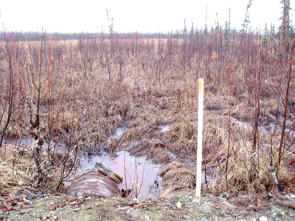
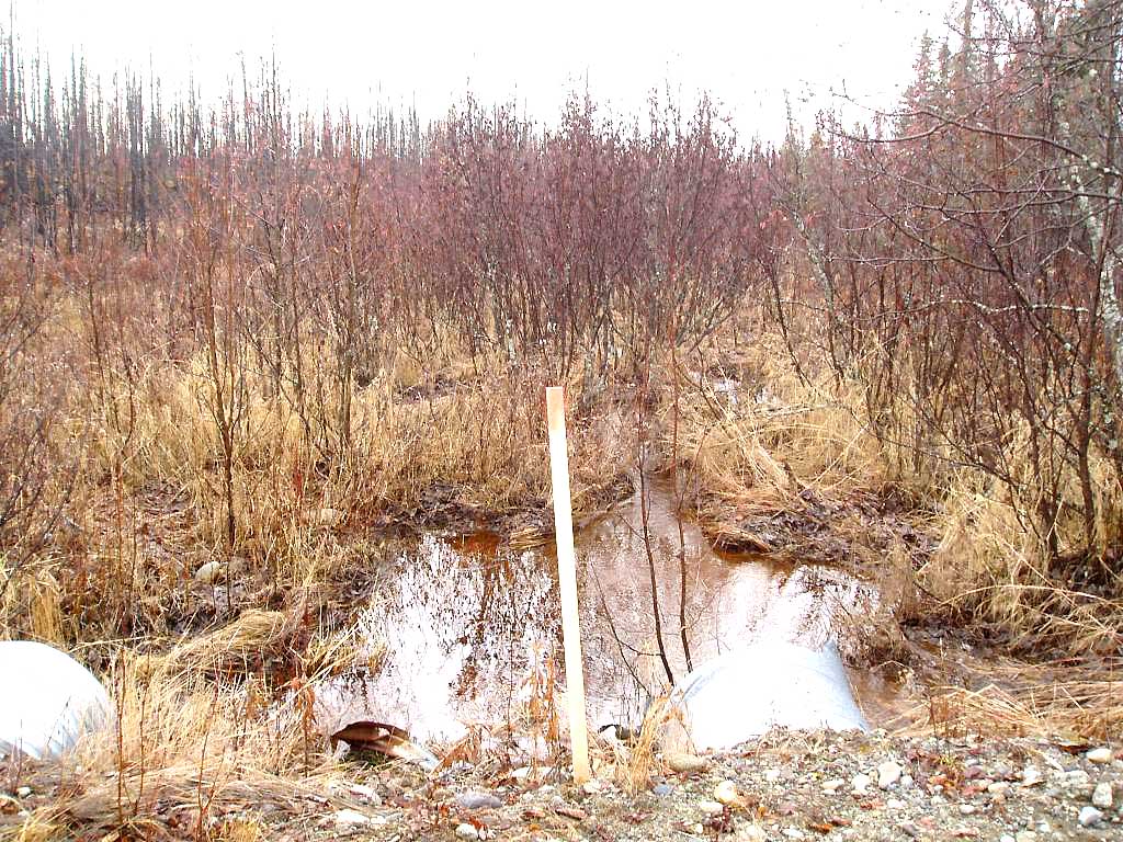
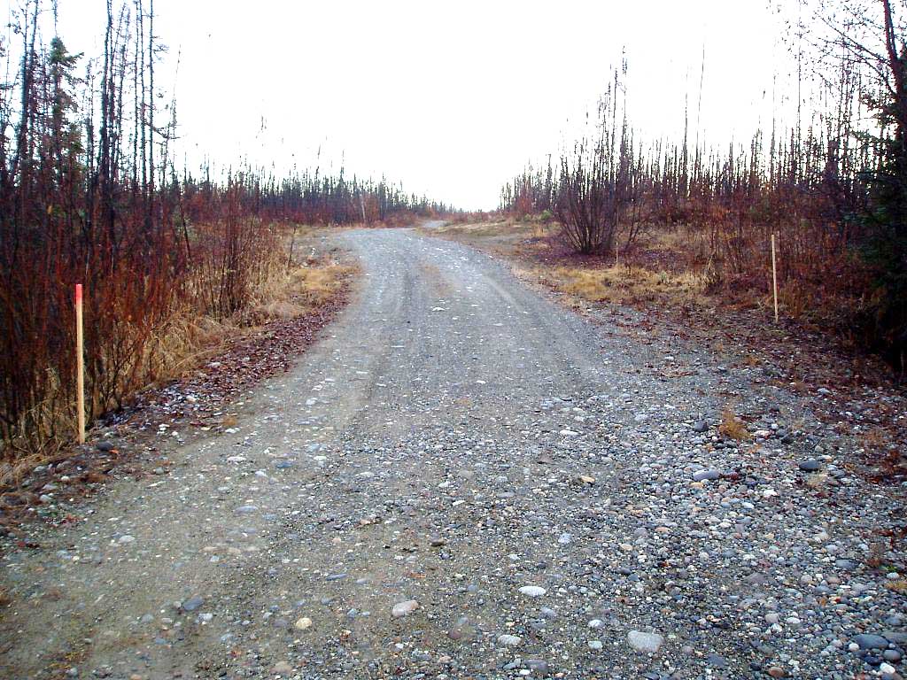
Photos
Questions or comments about this report can be directed to dfg.dsf.webmaster@alaska.gov