Fish Passage Site 20501041
Coordinates (dec. deg.): 61.66444°, -149.38547°
Legal Description: S018N001W12
Region: South Central
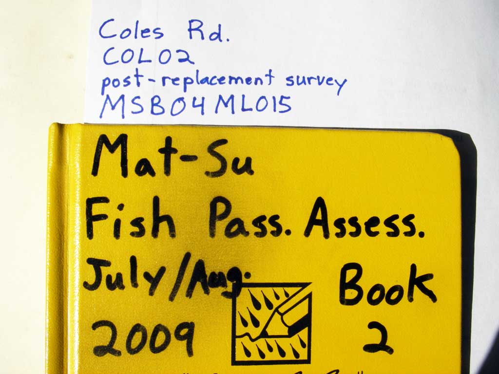
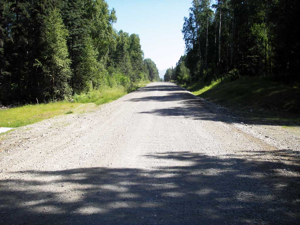
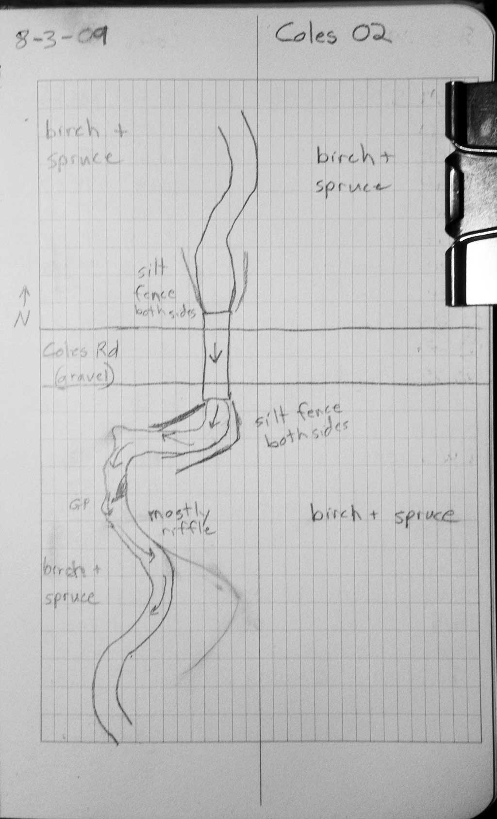
Road Name: Coles Road
Datum: NAD83
Quad Name / ITM: Anchorage C-7
AWC Stream #:
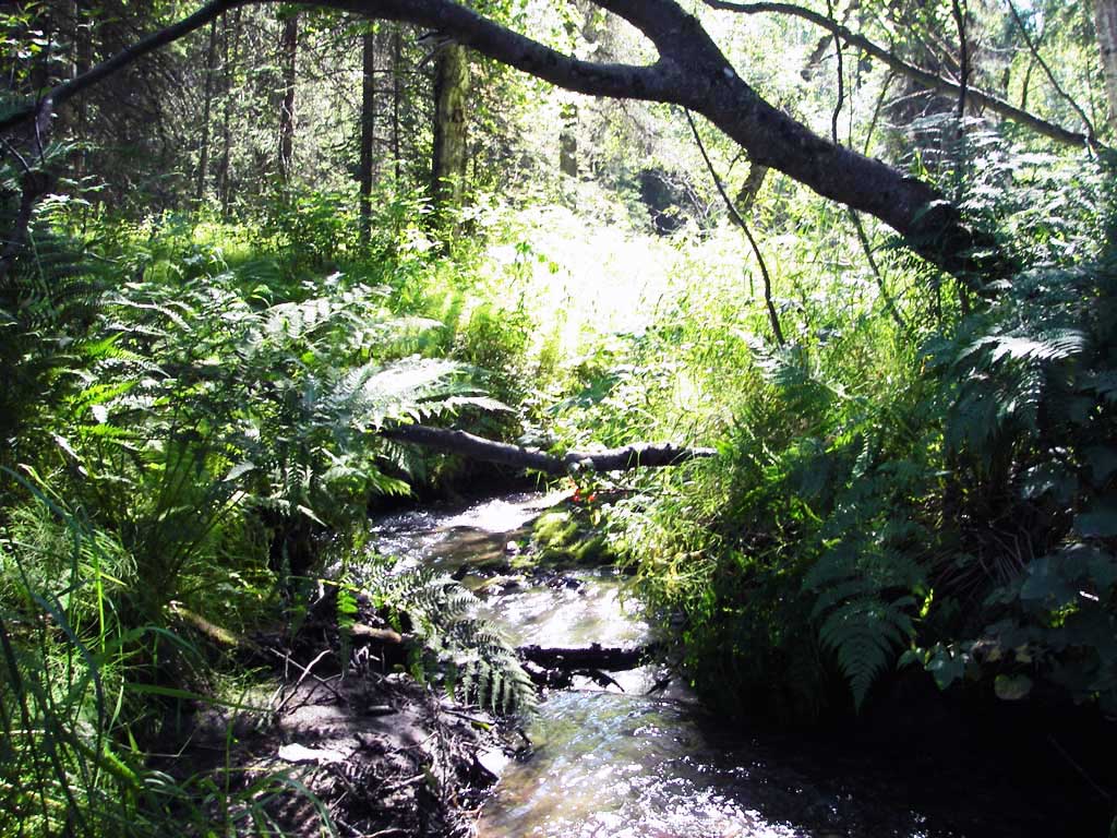
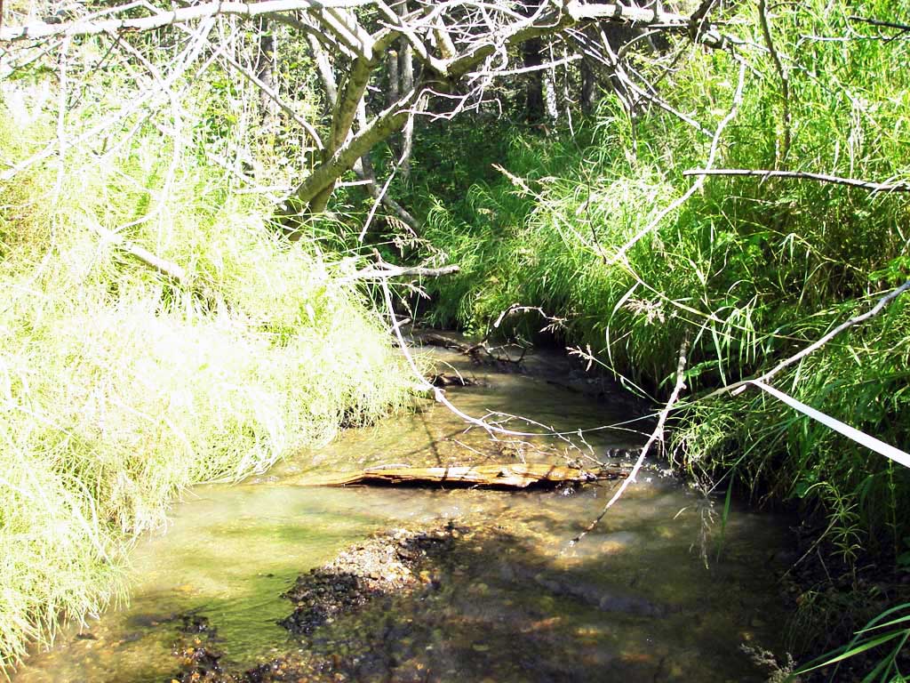
Stream Name: Unnamed
Elevation:
Site Comments: None
arrow to the right of the survey date below to choose a different report for this site.
Survey MSB09-COL02
Project Supervisor: Gillian O'Doherty, ADFG
Observers: Heidi Zimmer, Ben Histand
Overall Fish Passage Rating:
Tidal: No
Backwatered: No
Step Pools: No
Construction Year: 2008
Site Observations:
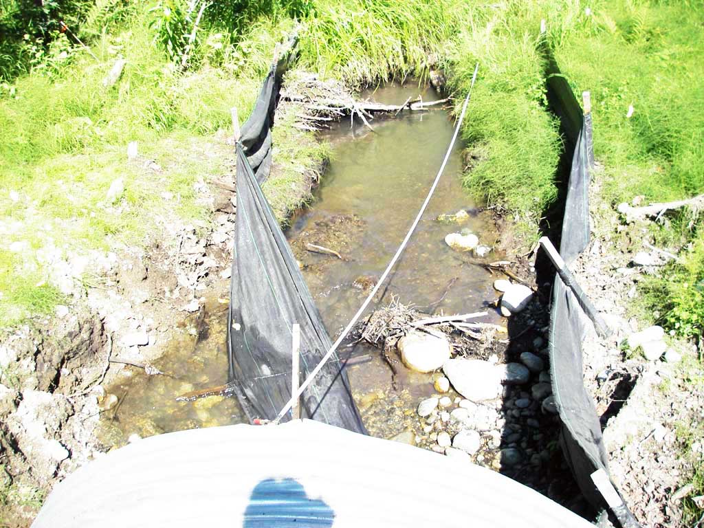
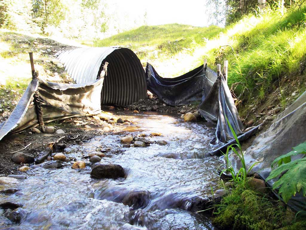
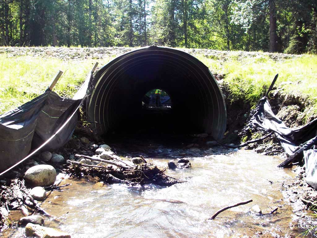
- Shallow fill; inadequate roadfill volume above culvert
Comments: Post-replacement survey of MSB04ML015; visual observations of juvenile salmonids upstream of culvert. Upstream gradient = 1.78%
Culvert Measurements
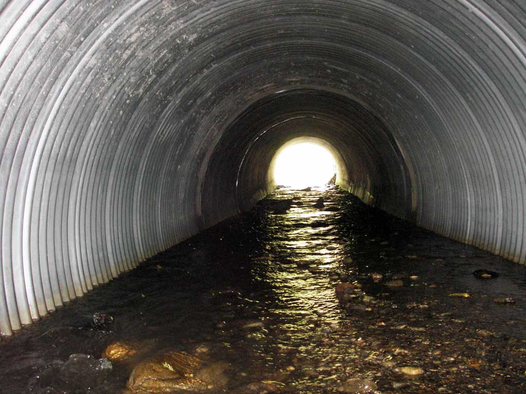
| ID: 1 | Structure Type: Circular pipe (Corrugated steel) | Fish Passage Rating: | ||||||||||||||||||||||||||||||||||||||||||
|
|
|
||||||||||||||||||||||||||||||||||||||||||
Culvert Observations:
|
||||||||||||||||||||||||||||||||||||||||||||
Stream Measurements
|
|
| Stream Width Type | Distance From Crossing (ft) |
Stream Width (ft) |
|---|---|---|
| Upstream ordinary high water | 30.0 | 5.50 |
| Upstream ordinary high water | 57.0 | 5.50 |
| Upstream ordinary high water | 101.0 | 8.50 |
Elevations
| Locator ID | Culvert Number |
River Distance (ft)1 |
Distance From Crossing (ft)2 |
Relative Elevation (ft) |
|---|---|---|---|---|
| Road Elev | 1 | 101.17 | ||
| D/S Grade Ctrl (Thalweg) | 1 | 0.00 | 50.0 | 91.62 |
| D/S Water Surface Elev | 1 | 0.00 | 50.0 | 91.96 |
| D/S Tailcrest or 1st Thalweg (1st GP d/s; no out pool) | 1 | 33.00 | 17.0 | 92.71 |
| D/S Water Surface Elev (ws @ TWC) | 1 | 33.00 | 17.0 | 93.05 |
| D/S Thalweg | 1 | 45.00 | 5.0 | 92.98 |
| Outlet Invert | 1 | 50.00 | 0.0 | 93.07 |
| Outlet Pool Water Elev | 1 | 50.00 | 93.41 | |
| Inlet Culvert Invert | 1 | 120.50 | 0.0 | 94.67 |
| U/S Headwater | 1 | 120.50 | 95.10 | |
| U/S Water Surface Elev (ws @ gp) | 1 | 124.50 | 4.0 | 95.23 |
| U/S Grade Ctrl (Thalweg) (1st TC u/s) | 1 | 124.50 | 4.0 | 94.97 |
| U/S Grade Ctrl (Thalweg) | 1 | 135.50 | 15.0 | 95.07 |
| U/S Water Surface Elev (ws @ gp) | 1 | 135.50 | 15.0 | 95.47 |
| U/S Grade Ctrl (Thalweg) | 1 | 182.50 | 62.0 | 95.88 |
| U/S Water Surface Elev (ws @ gp) | 1 | 182.50 | 62.0 | 96.23 |
| U/S Grade Ctrl (Thalweg) | 1 | 243.50 | 123.0 | 97.09 |
| U/S Water Surface Elev (ws @ gp) | 1 | 243.50 | 123.0 | 97.34 |
Notes:
- River distance is measured continuously throughout the survey reach along the thalweg of the stream.
- Measured from each end of the crossing along the thalweg of the stream.
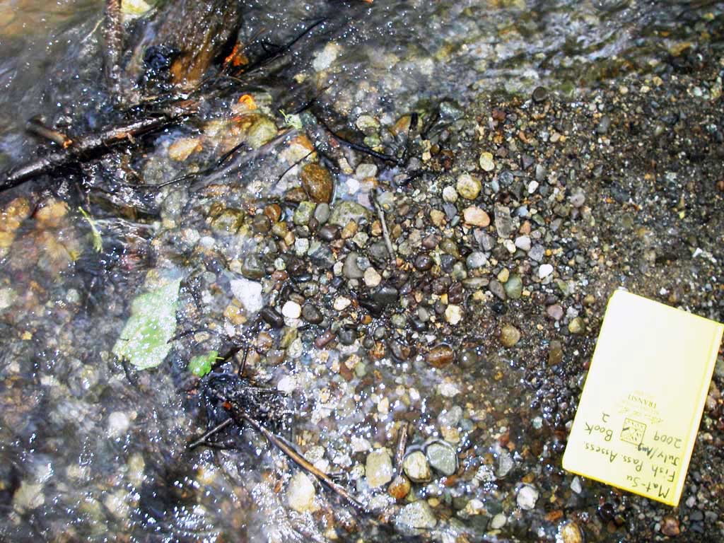
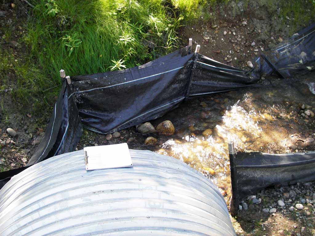
Fish Sampling Efforts
| Gear Type: Visual Observation, Ground (A) | ||
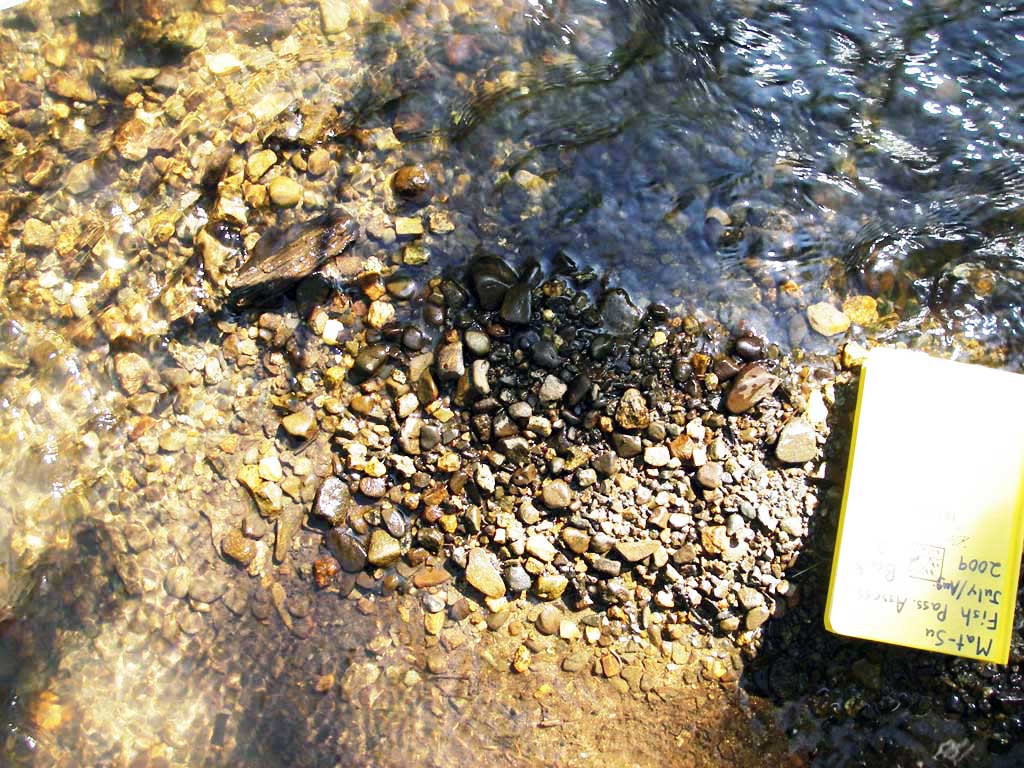
| Comments: Visual observations of juvenile salmonids upstream from culvert. | ||
Fish Observations
No fish observations occurred during this survey.
Photos
Questions or comments about this report can be directed to dfg.dsf.webmaster@alaska.gov